See also:
• Packboating in southern France
• Chassezac
• Ardeche
• Allier guide
• Bradt Paddling France

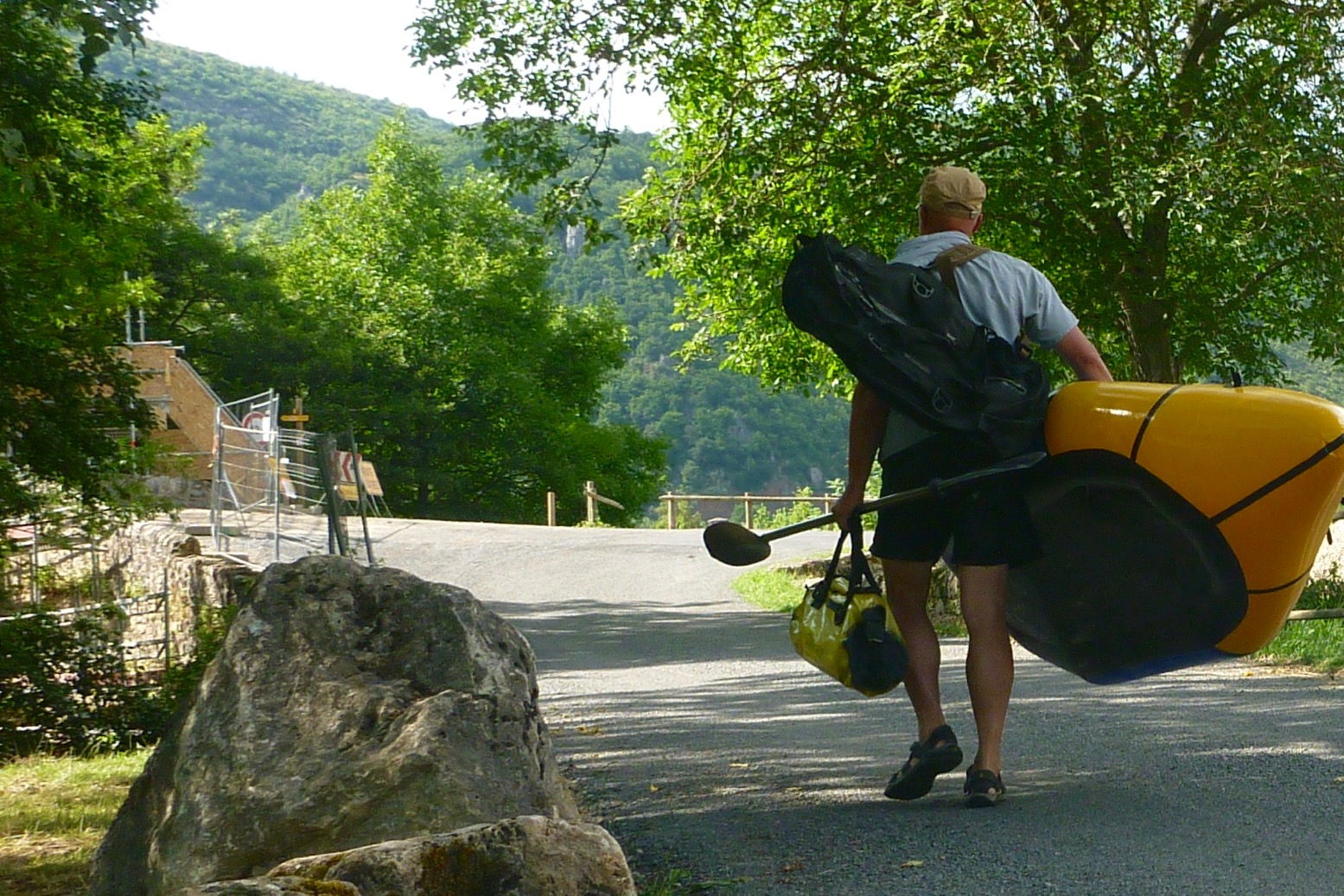
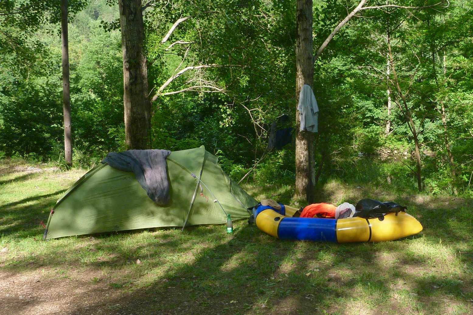
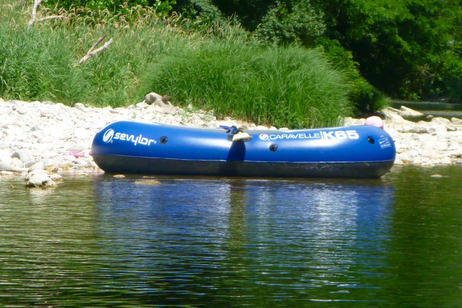
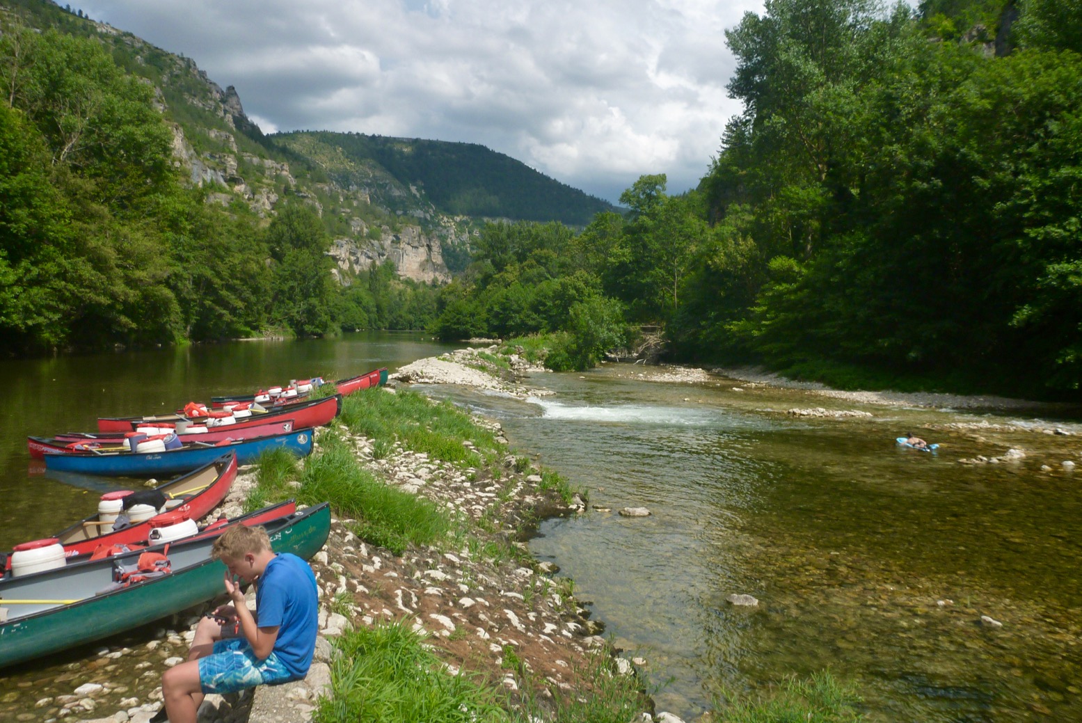
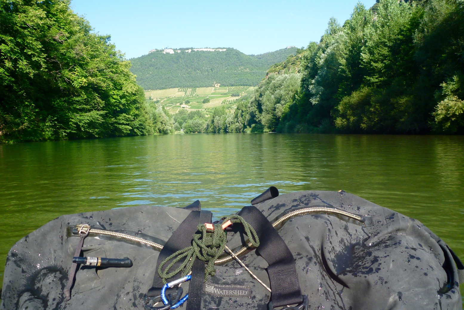
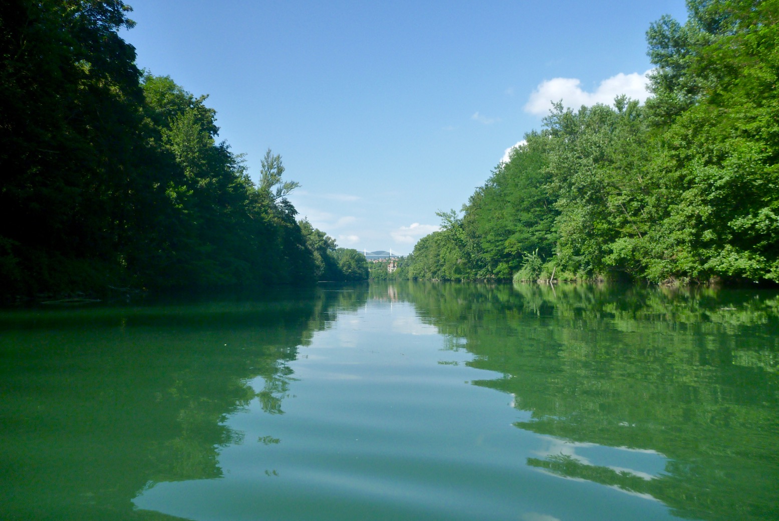
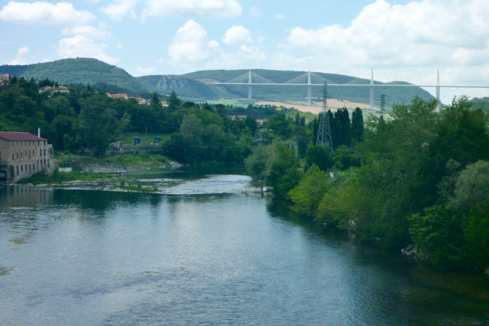
Just back from Tarn Gorge with the Yakraft, All the way from Florac to Millau; about 86km. I’m amazed the beating this boat takes, scrapping through the shallows and bouncing off the scenery. It took me two days plus two half-days each end, so about 18 hours of actual paddling. Surprisingly, I saw only day-renters or youth groups on the river – zero other private tourists like me. And from Florac to Montbrun, and Rozier to Millau I was the only boat on the water of any kind, unless you count an inflatable flying Pegasus.
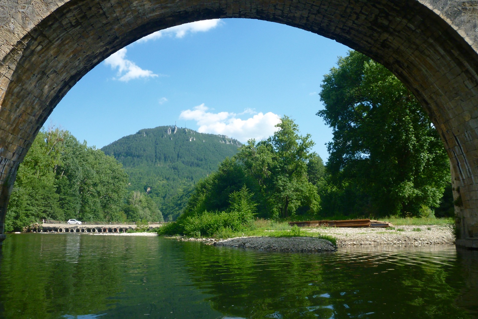
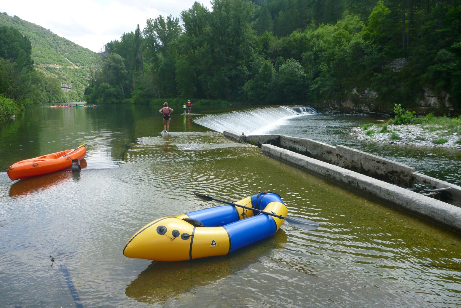
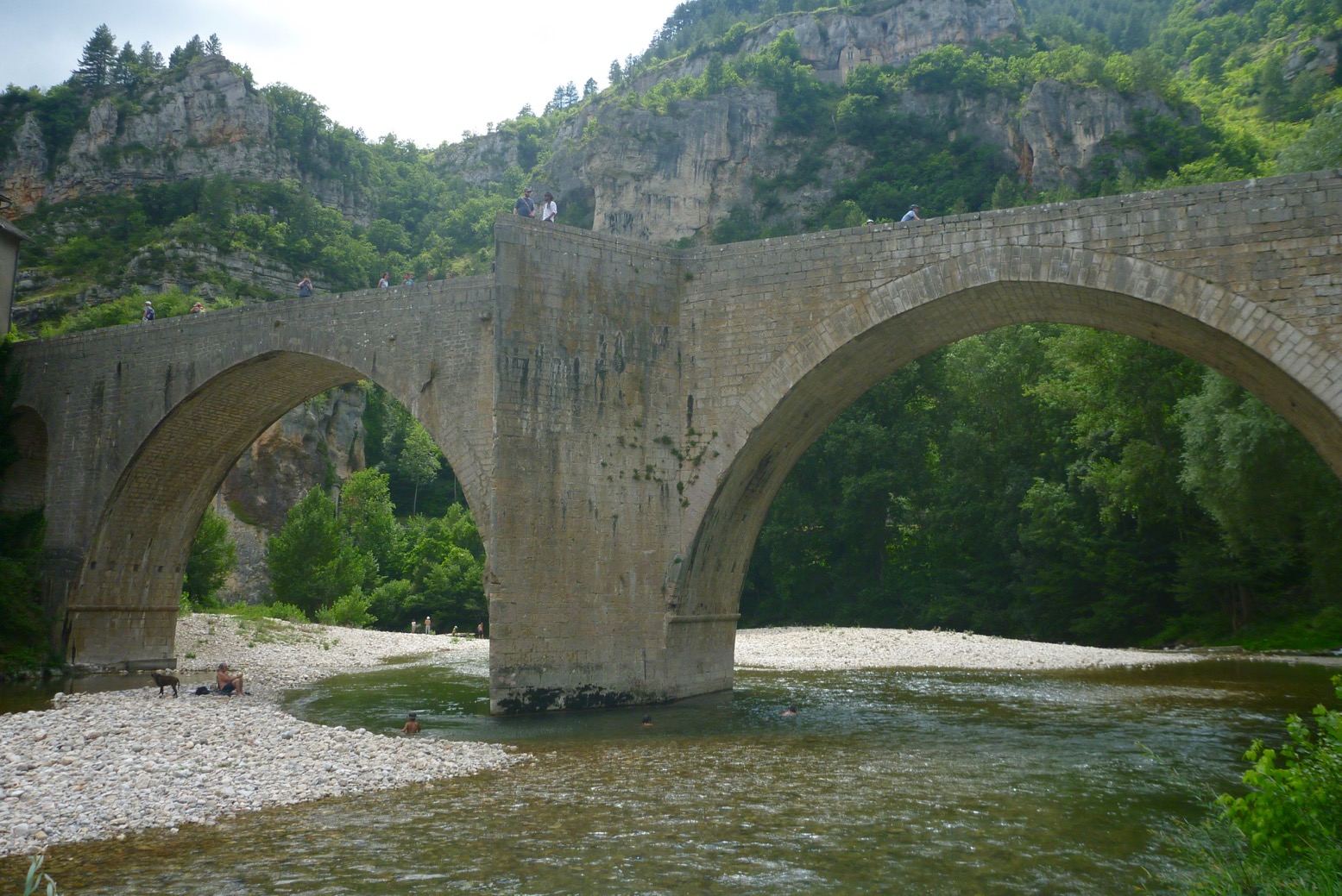
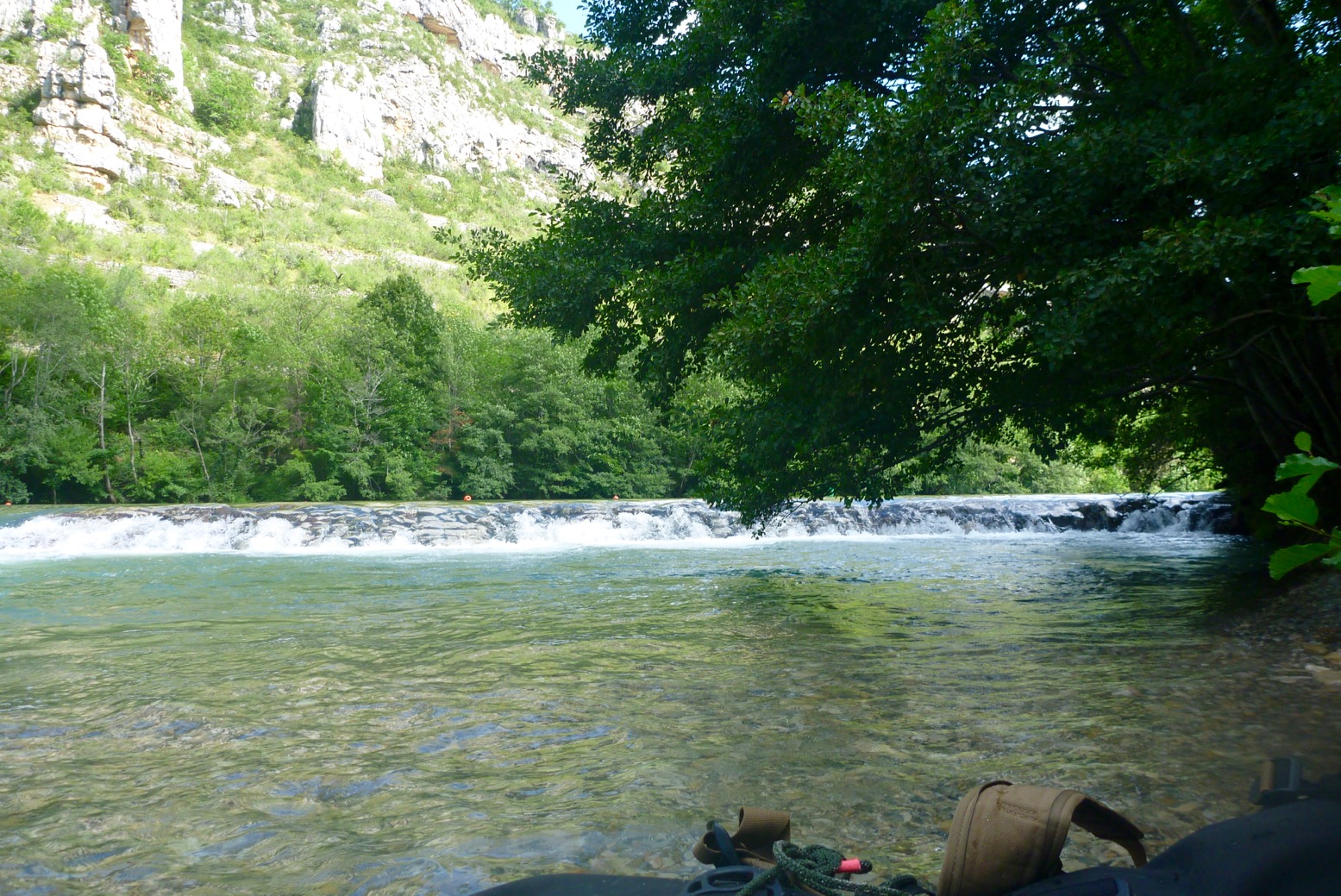
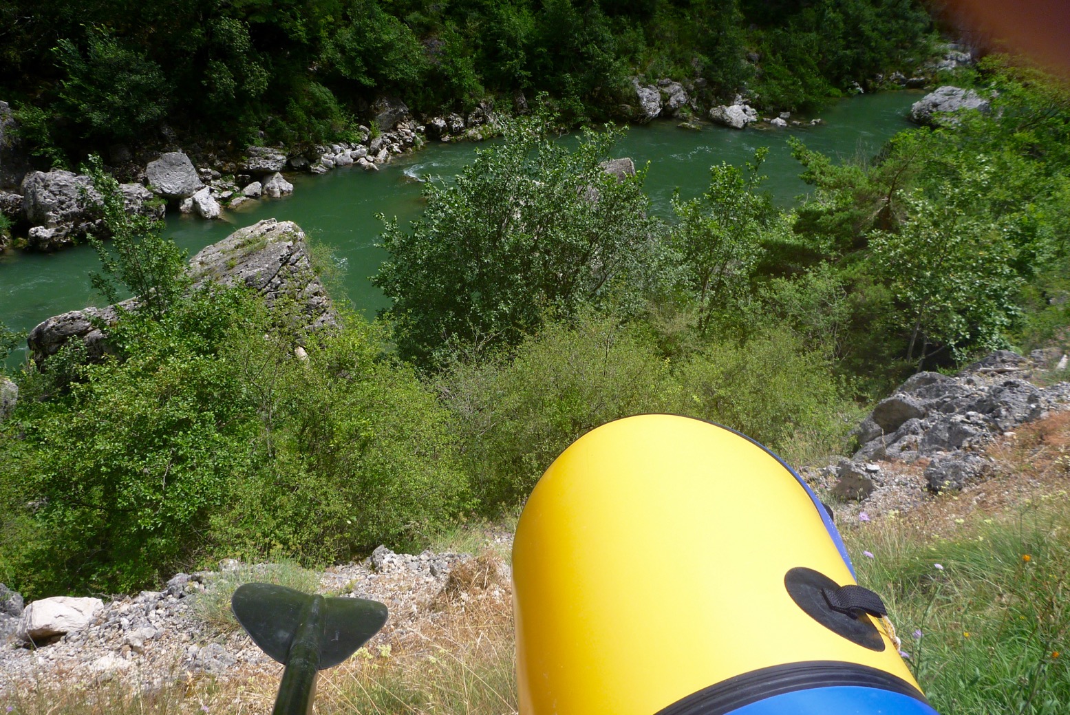
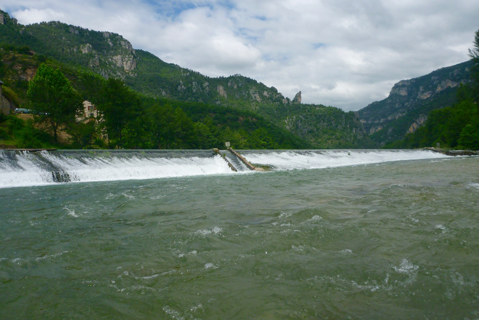
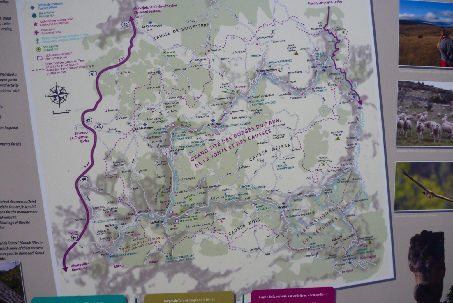
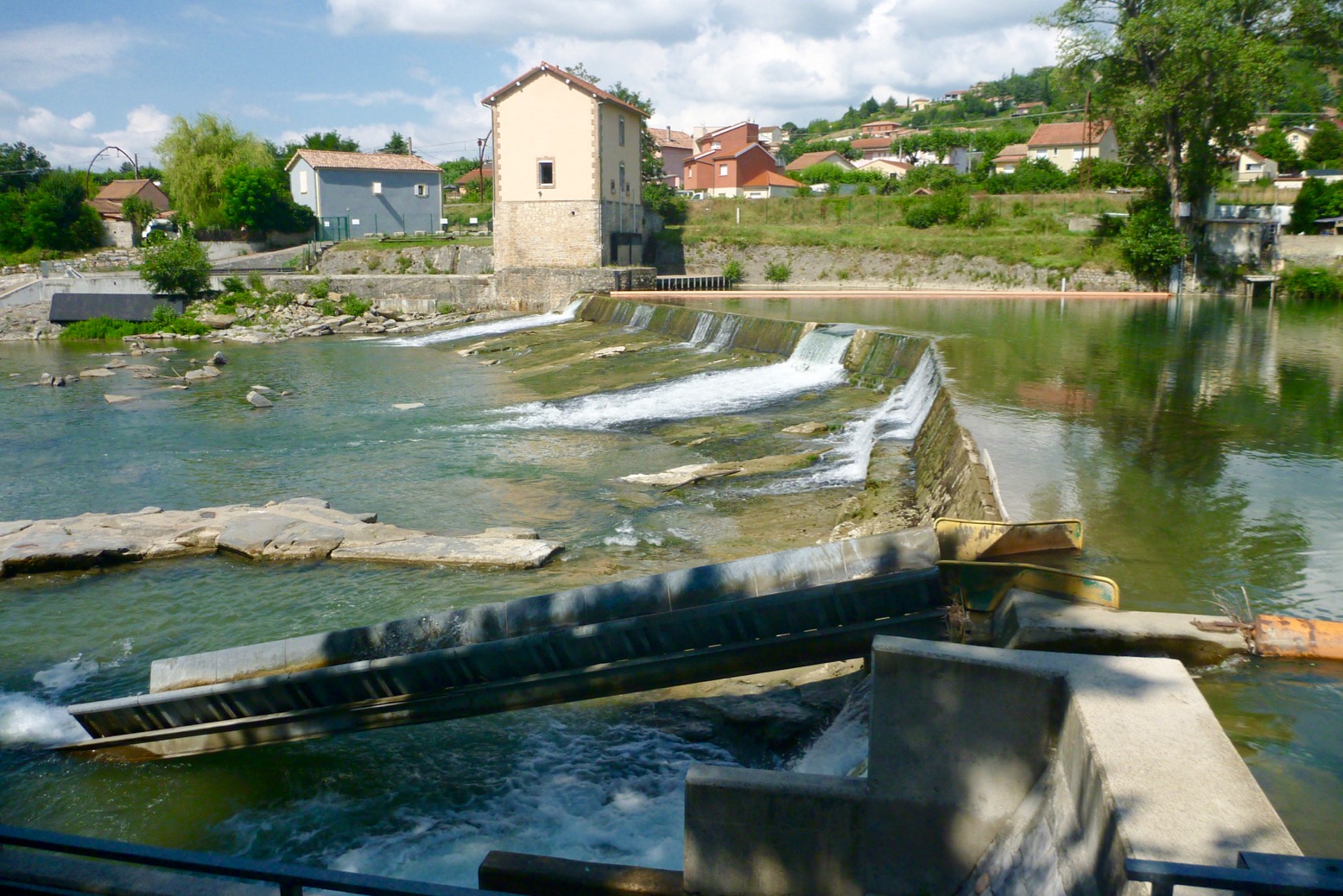
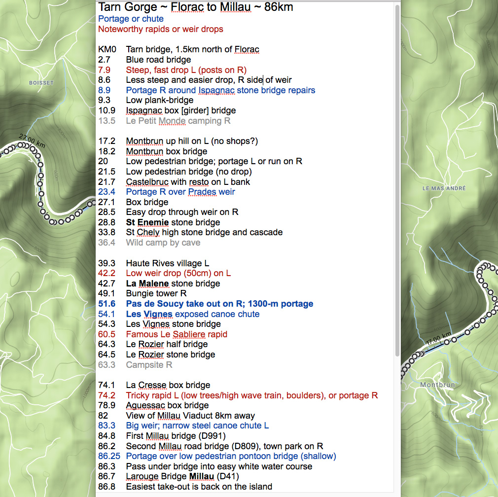
There are two unavoidable portages: Prades (KM23.4) and a longer haul at Pas the Soucy (KM51.6). There are also two canoe chutes (Les Vignes; KM54.1, and just before Millau (KM83.3) plus an odd, unsigned low weir drop at La Malene (KM42.2). See the map below.

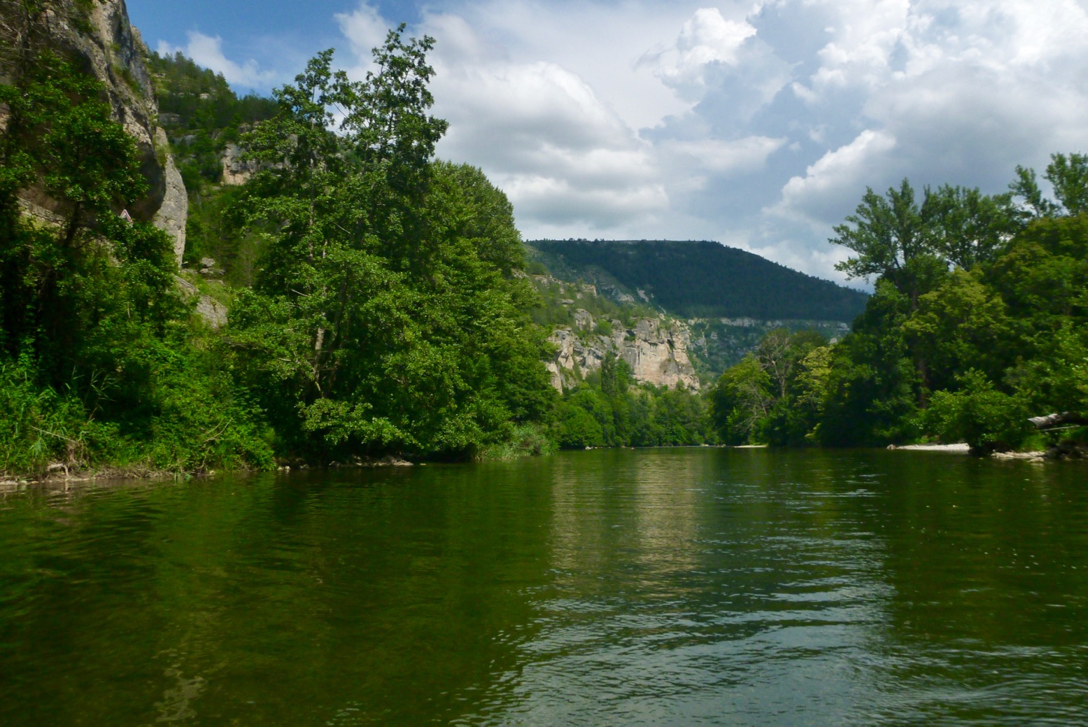
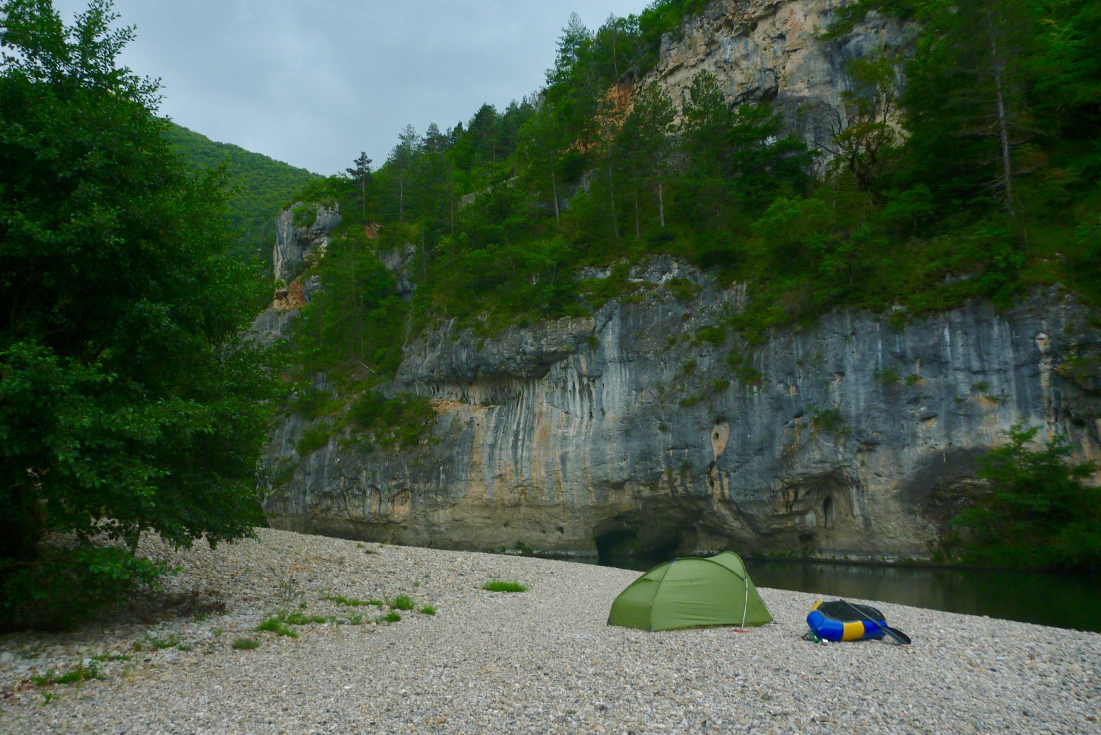
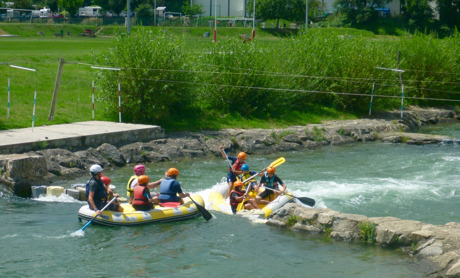
Besides a quick 1-day-er two years ago, we last did the Tarn in 2007 in the Sunny and a Solar: Florac to Rozier. It’s worrying what I’ve either forgotten, conflated with other Massif rivers or has changed, but the Tarn is actually a perfect first-time packrafter’s camping adventure. There’s a road alongside (not always accessible without pitons); daily villages for resupply and enough WW challenges to keep things interesting. The scenery and la belle France you get for free. I shipped a few litres on rougher drops but never came close to flipping, unlike a few rental hardshell SoTs I observed.

Getting to Florac (KM0)
I took the cheapest redeye Easyjet to Montpellier (there are 2–3 a day), got a train from Gare St Roch to Ales (changing at Nimes) and next day caught the only bus at 12.10 from Ales for Florac, getting on the water at 2pm. You might also try Ryanair to Nimes but the way the timetables were at the time, you’ll still miss that key 12.10 Ales bus on the same day.
Another idea might be the way I came back: express bus between Montpellier St Roch and Millau (2 hours) then non-direct train and several buses back upstream towards Florac. You might just manage that in a day. Work it out with the Millau tourist office or the internet.
Eurostar London to Nimes in 6-7 hours sounds so much more relaxing apart from the change in Paris, but usually costs way more than the cheapest flights, and you still won’t get that noon bus from Ales same day from London.

Knives & Gas
At least on a train you don’t pay extra for baggage, but Eurostar won’t allow a useful-sized knife or camping gas cans.
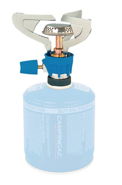
On a plane camping gas is also a no-no, so I planned to buy a can for my threaded burner in France. No luck as outdoors shops like Decathlon were all in out-of-town retail parks. Your classic blue Camping Gas is widely available in bigger supermarkets but has a different push-and-twist fit. I thought we sorted all this out years ago! Oh sorry, this is France. After traipsing around Ales finding only blue cans, I ended up buying the can and push-and-twist burner in St Enemie (probably could have bought in Florac too). At least next time in France I’ll have the burner and know I can get blue gas easily enough. Or you could always use a plane & rain proof ethanol Gimp Stove.
I didn’t actually use my 10-function survival knife, but you know how it is; taking one makes it more of an adventure ;-) You can buy inexpensive wooden-handled Opinels easily in France.
River levels
Not being a crusty demon of white water, I’ve never been that bothered about river levels, but a very good website is vigicrues.gouv.fr. You will see live measurements for the Tarn recorded at Florac (KM0); Montbrun (KM18), Mostuéjouls (KM65; near Le Rozier) and Millau. Generally in mid-summer Florac will read minus something and Montbrun will be between 0.3 and 0.5m. Let me tell you, once Montbrun gets towards 0.7m the Tarn is moving along very nicely indeed – up to 8kph in places – but 0.7m is usually a summer storm peak which subsides within a day. They say anything up to 1m at Montbrun is safe enough; beyond that things can get hairy.


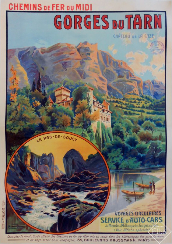
I found the old 2002 Massif Central book (right) not so helpful this time round. Even though I sort of knew what to expect – no outright Niagaras – I’d have appreciated better, bigger maps with each bridge, weir, portage and so on clearly marked to help orient myself. Also, the descriptions at each end, from Florac to Montbrun (first 18km) and beyond Les Cresses to Millau (last 12km) are either skimpy or now inaccurate, presumably because rental outfits don’t cover these sections of the river. On both these stages are rapids you’d really rather know about (see my map below). Read my review of the new edition, now renamed Best Canoe Trips in the South of France but with a near-identical Photoshopped cover (below right).

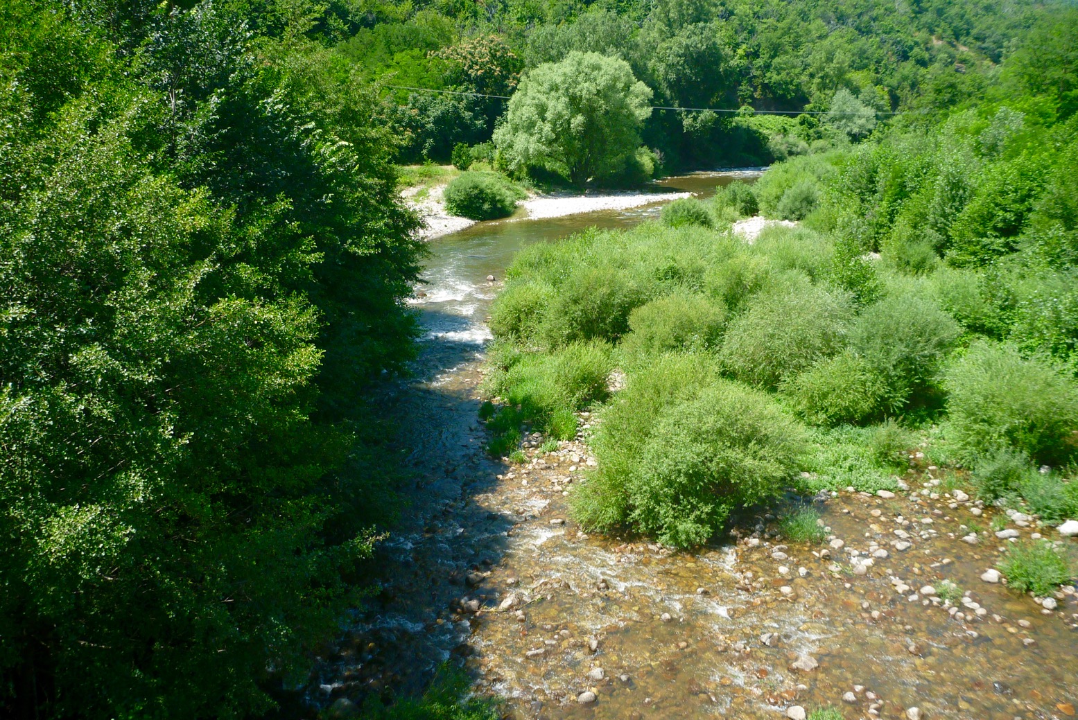
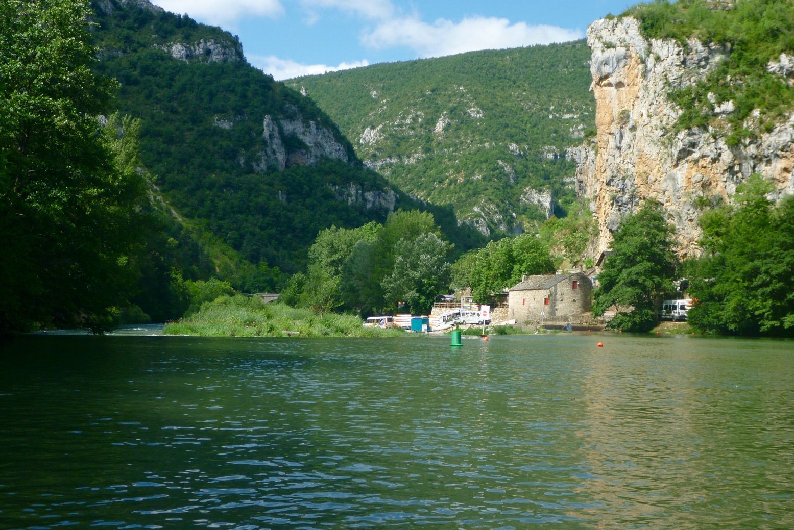
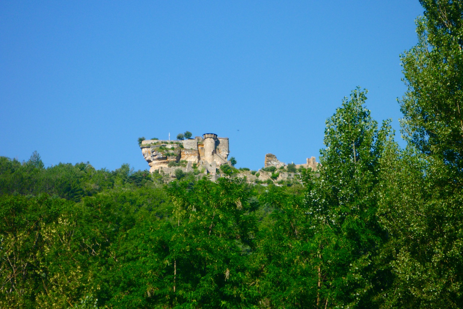
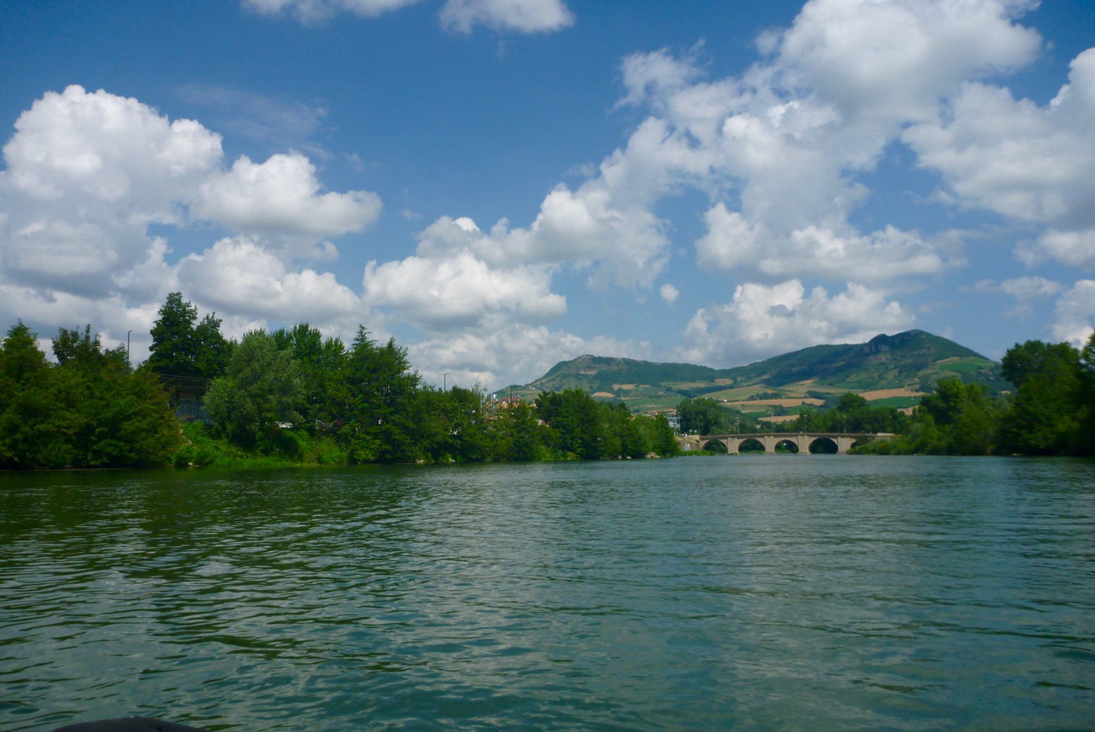
Thing is, on the Tarn you can pretty much blunder along in the dark; you won’t get lost, the rapids are never that technical, especially in a stable and agile packraft, wild camping is easy and proper bankside campsites, from basic to full-blown Hi-di-Hi holiday camps are plentiful and the main villages – St Enemie, La Malene, Les Vignes and Les Roziers are handy for snacks, drinks and pool toys.
Can’t wait to get back to the Massif.