
Up Limehouse Cut, London’s oldest canal.
The plan was simple. Put the IK in at Limehouse Basin where I finished up last week, and take an easy canal-paddle up around what are collectively known as the Bow Back Rivers threading through the Olympic Park, then portage over Three Mills Lock onto what becomes Bow Creek. Here, we’d ride its tight meanders on an ebbing tide down to the Thames at Trinity Wharf. Hard left and, keeping on the north bank (naughty), for what looks like an easy beach take-out at Lyle Park, a mile downstream.


Another possible east London paddle route.
The whole 8-mile run included just two locks to portage. Compare that to 13 locks and two closed tunnels for the similarly long Regents Canal I pack’ed last week.
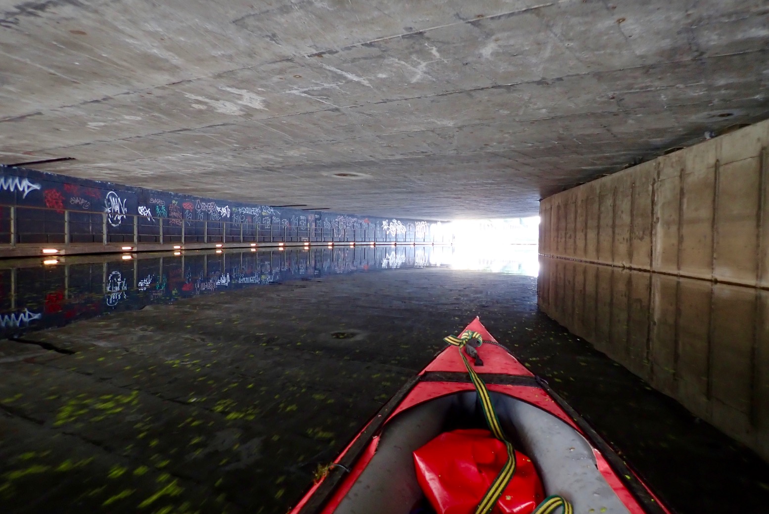
Things didn’t get off to a great start, but next day we were back and on the water before 8am. We set off up arrow-straight Limehouse Cut. Dating from 1770, it’s London’s oldest canal, built to evade the Lee River’s final twisting meanders on Bow Creek which we hoped to paddle on the wat back. (Very detailed history of this river). Two miles on, a thick mat of spongey duckweed backed up around Bow Creek Tidal Locks. Tendrils of weed caught on the paddles and flicked all over the boat. Bow Creek ebbs and flows right alongside the near-stagnant Limehouse Cut/Lee Navigation, but this was surely once a single river system. The River Lee’s (or Lea) source is in the hazy Chilterns of north Luton, and reaches the Thames via Bow Creek, 42 miles later. The Lee River Navigation is paddlable from at least Hereford (Mile 27.5). In England, a ‘navigation’ in fluvial terms means a public right of way for all craft, with a precedent going back centuries. Not all rivers in England are a navigation.
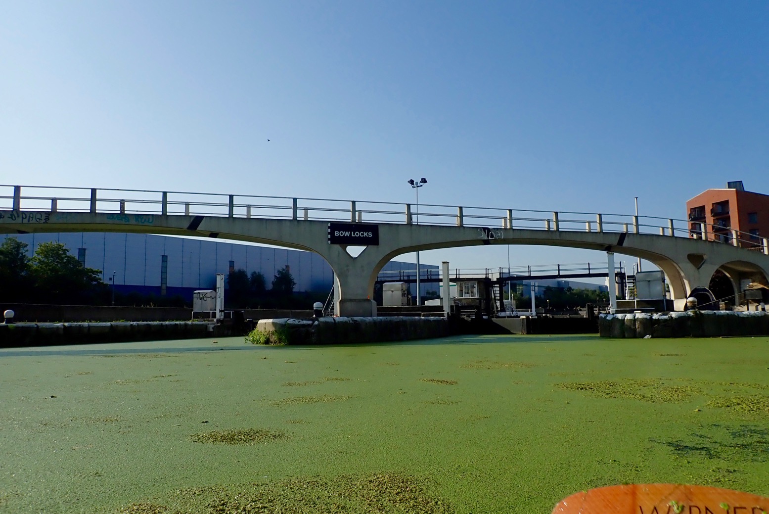
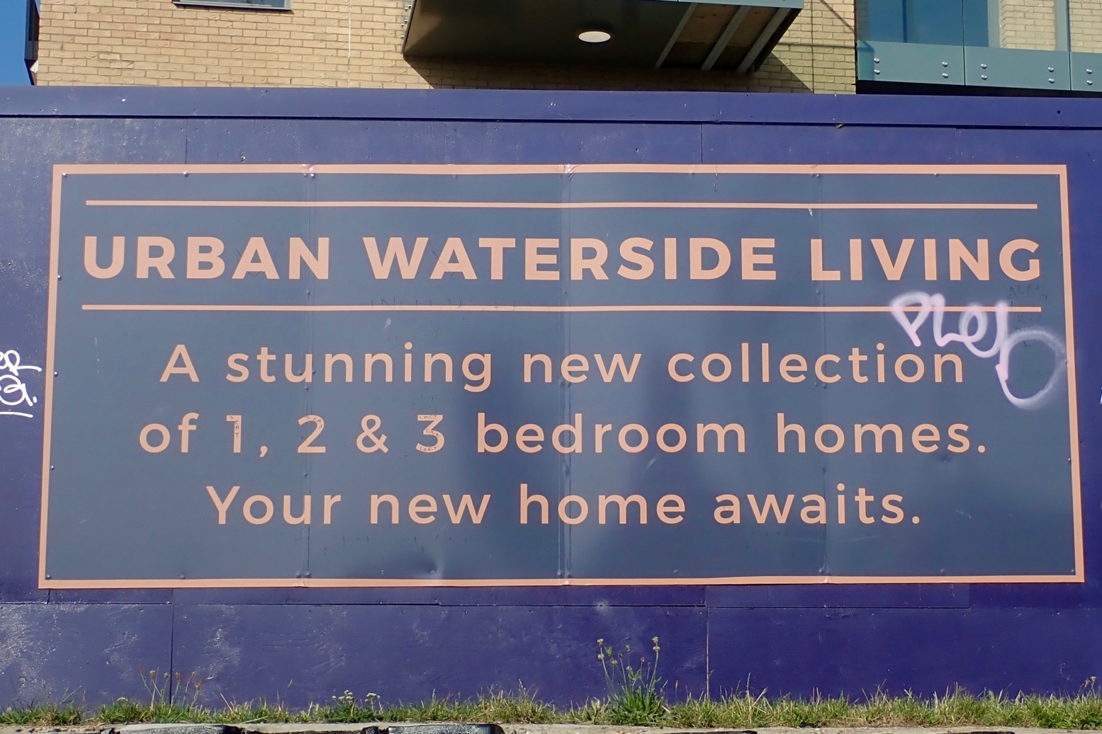
This whole underused wasteland between Strafford and Hackney was massively redeveloped for the 2012 Olympics, including the two new tidal locks mentioned. Before that, on the spring tide you could paddle up Bow Creek all the way to Hackney Marshes for some fish and chips. But while great for towpath activities, it seems the developers behind the refurbished network of waterways and new bridges didn’t consider paddleboat access either side of the locks. Odd, seeing as it was the Oh Lympics and all.
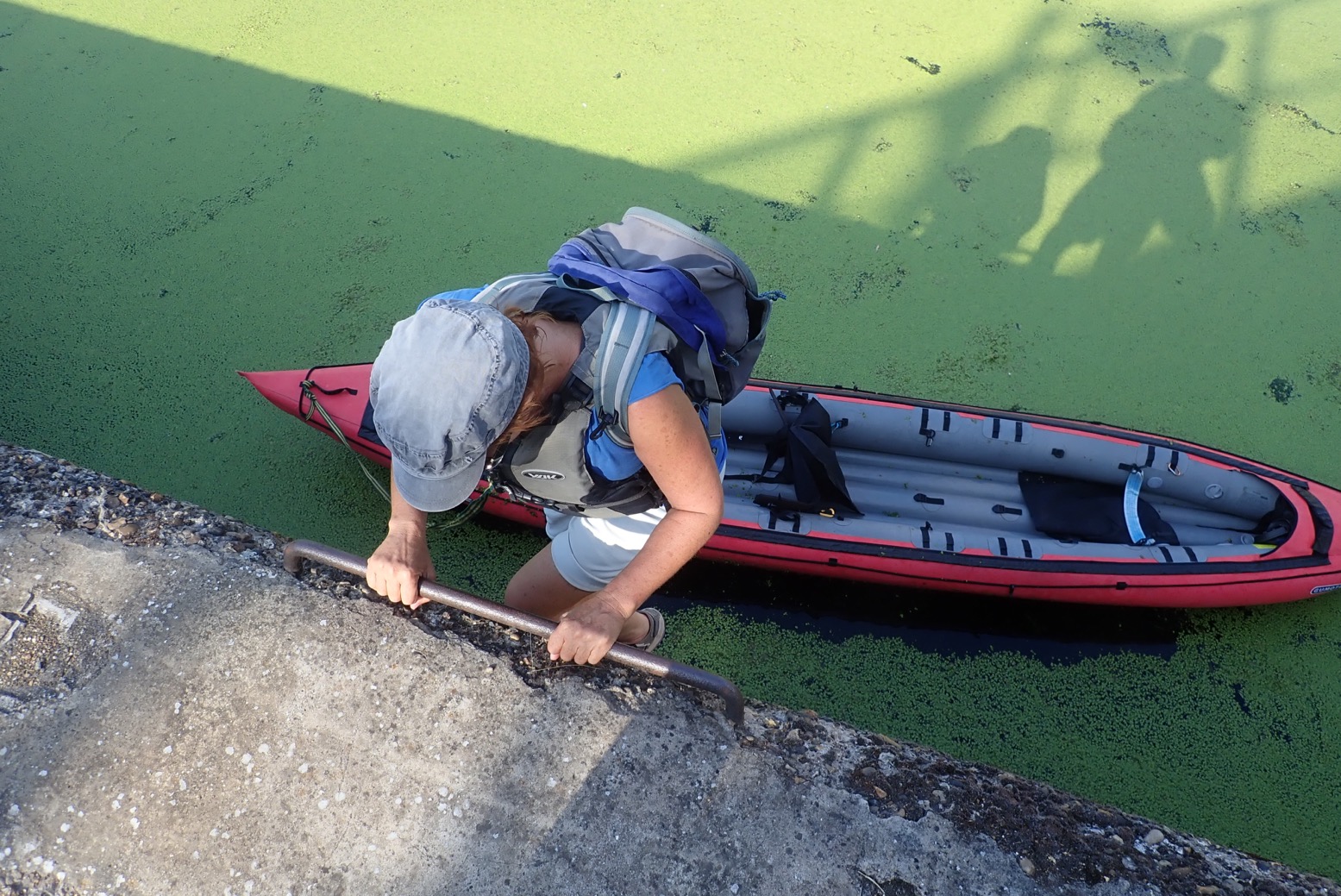

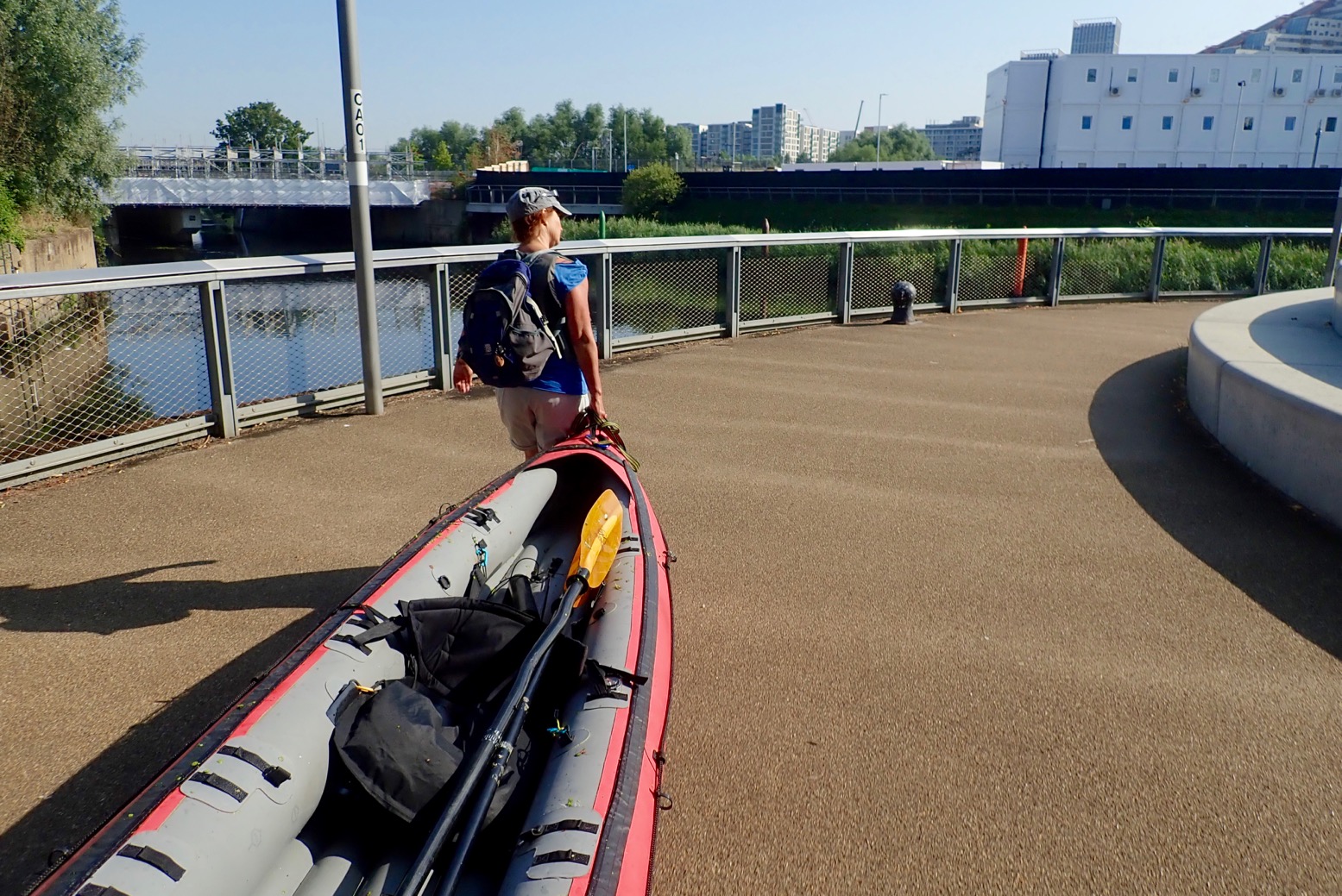
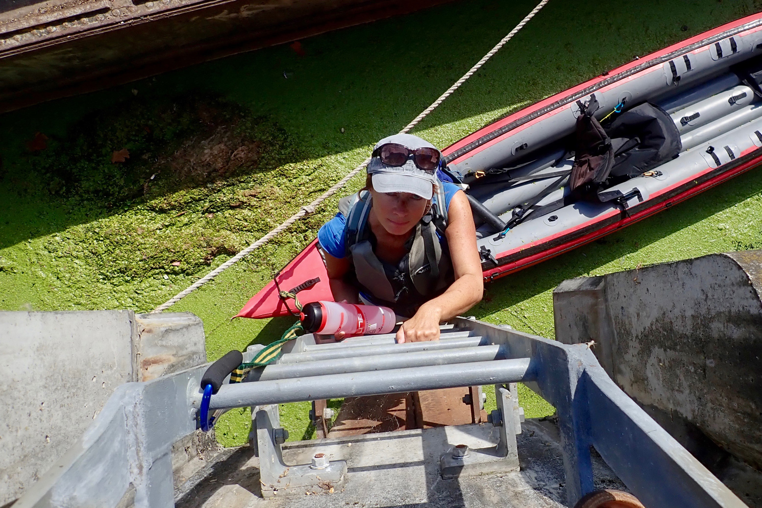
Our first trial came at Carpenters Road Lock (booking required a week in advance). It has a unique radial design with gates lifting a bit like a bulldozer blade. The CRT is very proud of it. Even though it’s permitted, as a single kayak I wouldn’t expect to use this or any lock; portaging is always quicker. But I would expect it to be fairly easy to get out and portage around a lock, just as I did 13 times or more last week on the Regents Canal. Maybe I’m going soft, but clambering up a 12 feet of rungs set in the canal wall, hauling the boat up, and then carrying it half a kilometre to the next accessible put-in doesn’t encourage paddling. What next; the cliff climbing finale from Deliverance (right)?
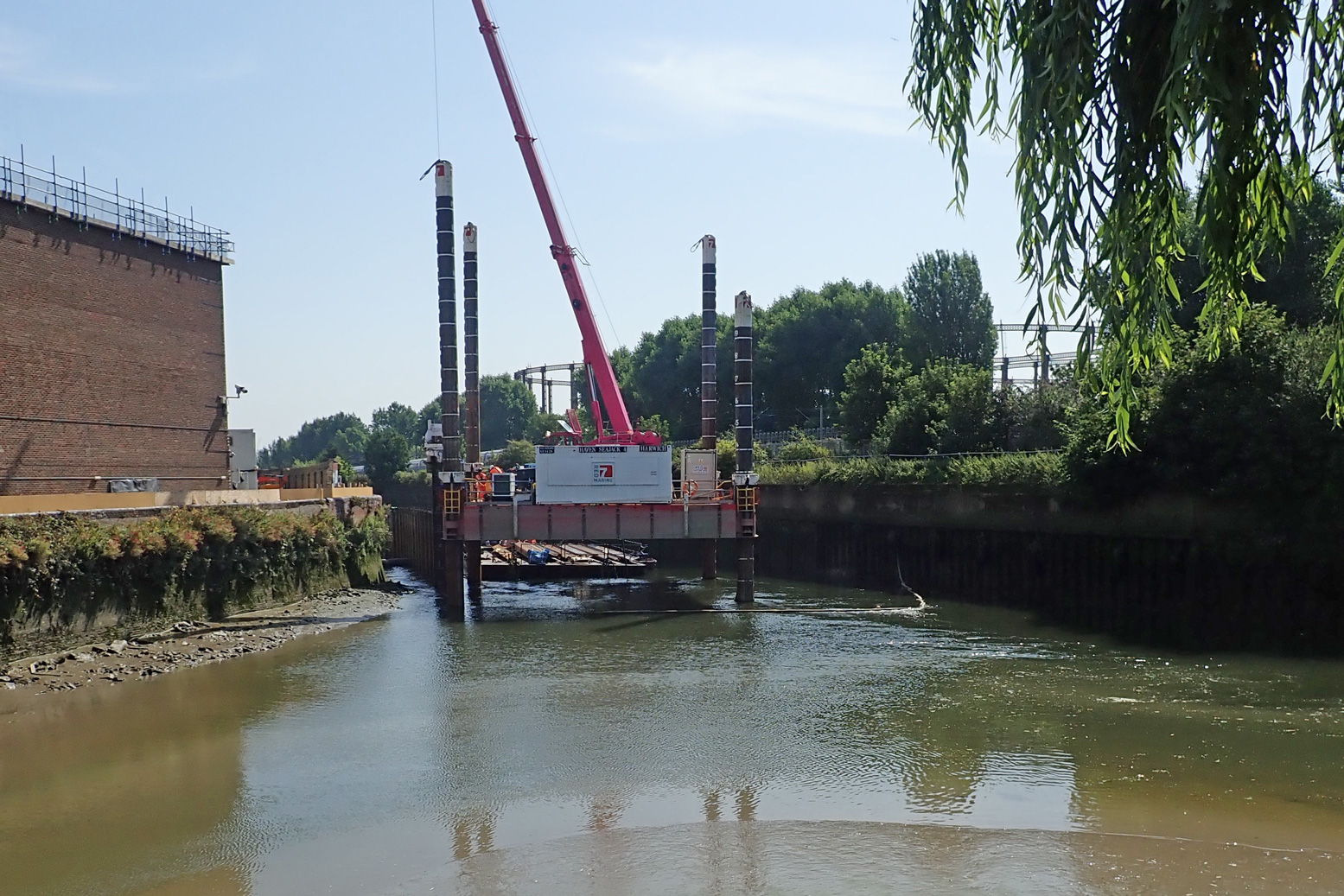
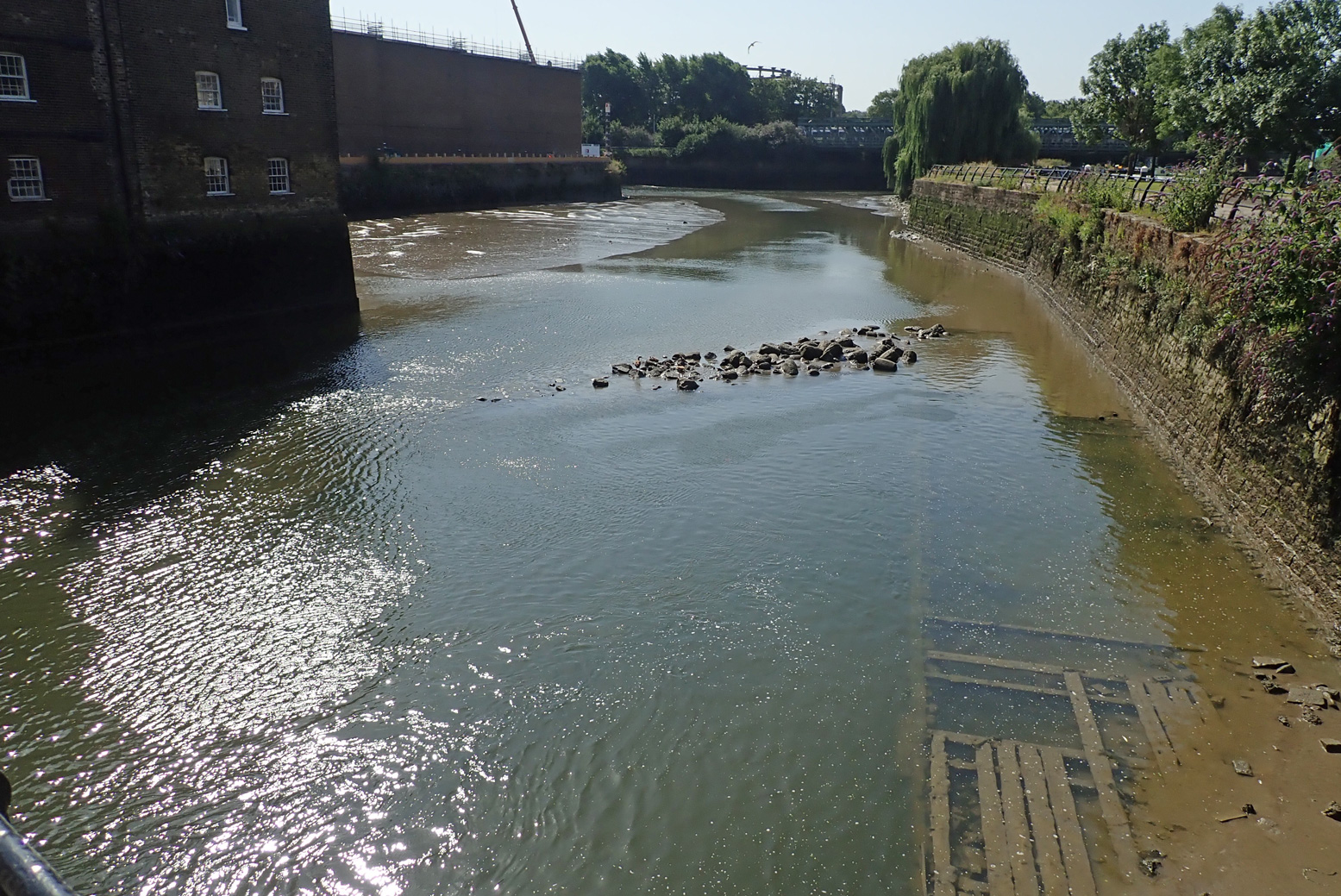
Two miles downriver at Three Mills Lock, (which I read was closed for repairs) we had to get up an even-higher ladder jammed behind a derelict? barge. To access the tidal stretch downstream of the lock, the only way was another long wall ladder, but it was behind temporary barriers. I could have wandered on to the Channelsea River to look for an easier put in, but where it joined Bow Creek (right), a cable or pipe to the crane floated across the surface, blocking the way. On a wild river you portage as long as necessary, sometimes miles. But either side of a lock on an urban waterway, how far do you go?

To be fair I’d timed the tide all wrong. I thought (correctly) that mid-ebb could be a fast run on the Bow, but in my greed for speed I’d failed to appreciate that at the tidal extent (the lock and adjacent Three Mills Island, left, 3 hours before LW at Bow Creek mouth), mid-ebb has already gone shallow. You’d need ropes to get down to a boat.
I suppose the easiest way to do Bow Creek is to paddle up with the tide and then let it take you back – this must be what local hardshellers do. With a packboat you can dodge such backtracking. But not here it seems. And whichever direction you do it, once you’re in Bow Creek, I don’t think it’s easy to get out of the high-walled channel.
Our East London paddle occurred during a mini-heatwave with temperatures up in the mid-30s. What better place to be than on the water. But not in it: that morning the news reported a staggering three drownings yesterday, all on the Thames and all separate incidents.
Lacking the hoped-for thrill of the Bow Creek finale, the route we took wasn’t so interesting from the water, though would be a nice walk or cycle if you’ve never seen the Olympic Park in real life. From the water, you see a lot of high rises or backs of factories or construction to make more of the former. Even with its dozen or more portages, I found the Regents Canal much more diverse and interesting.
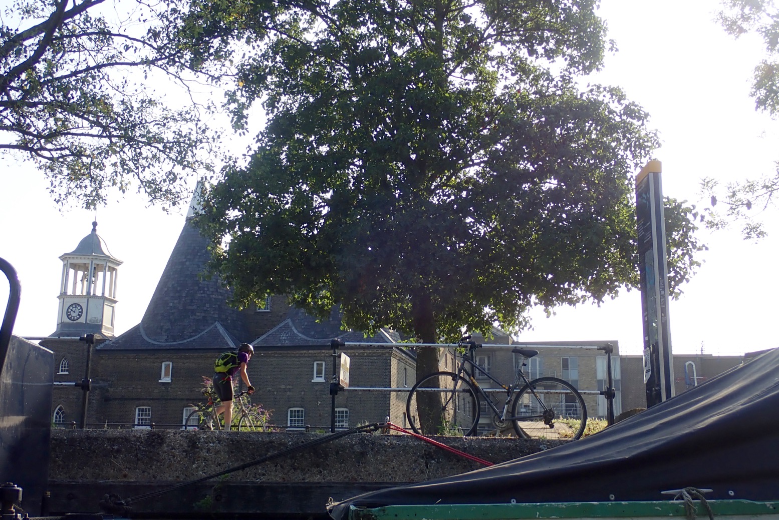
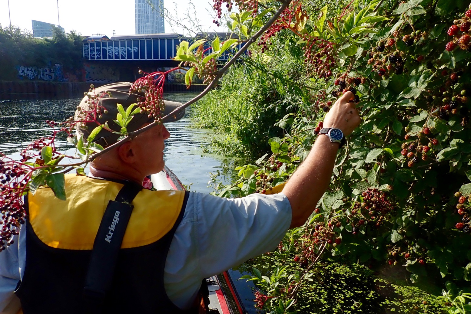
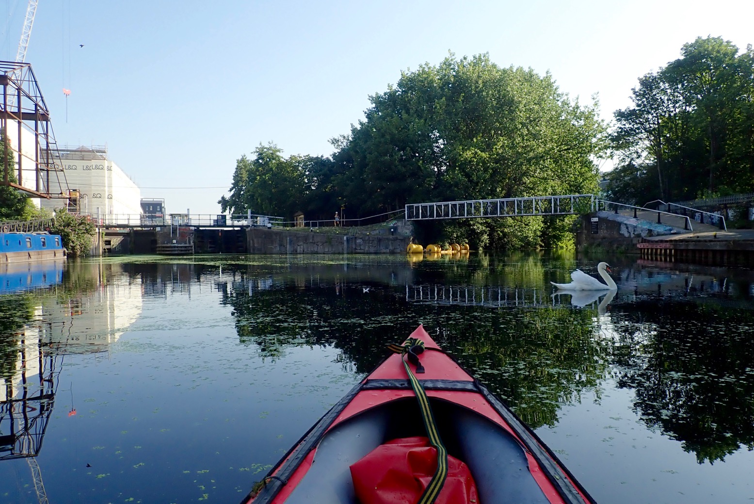
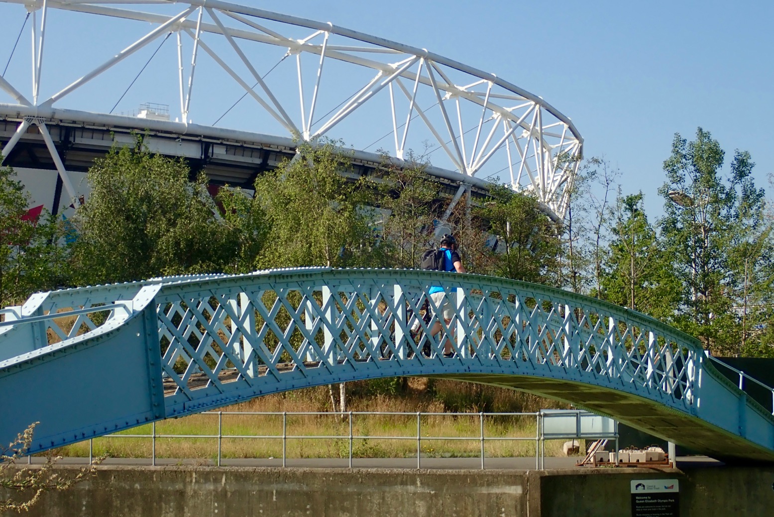
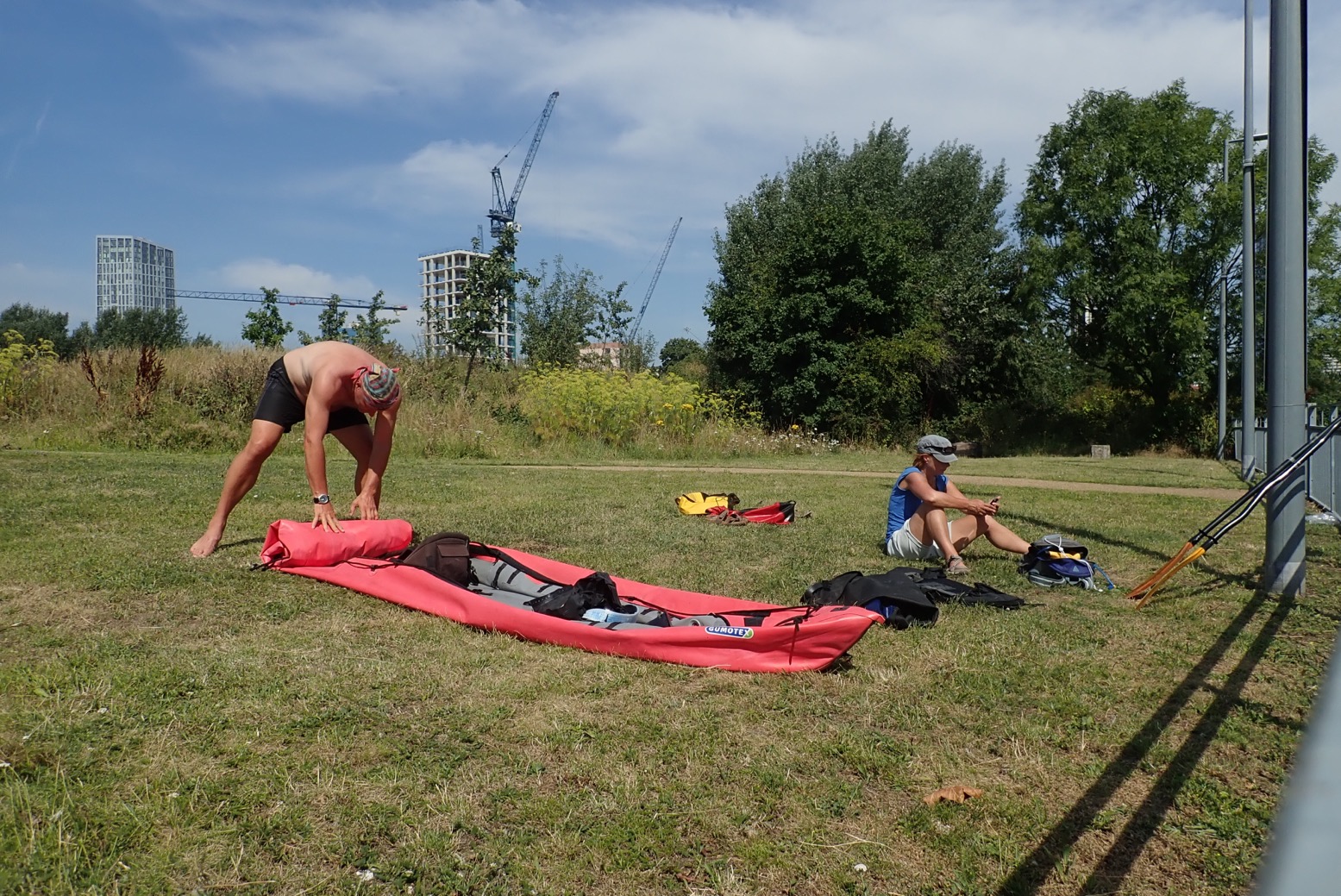
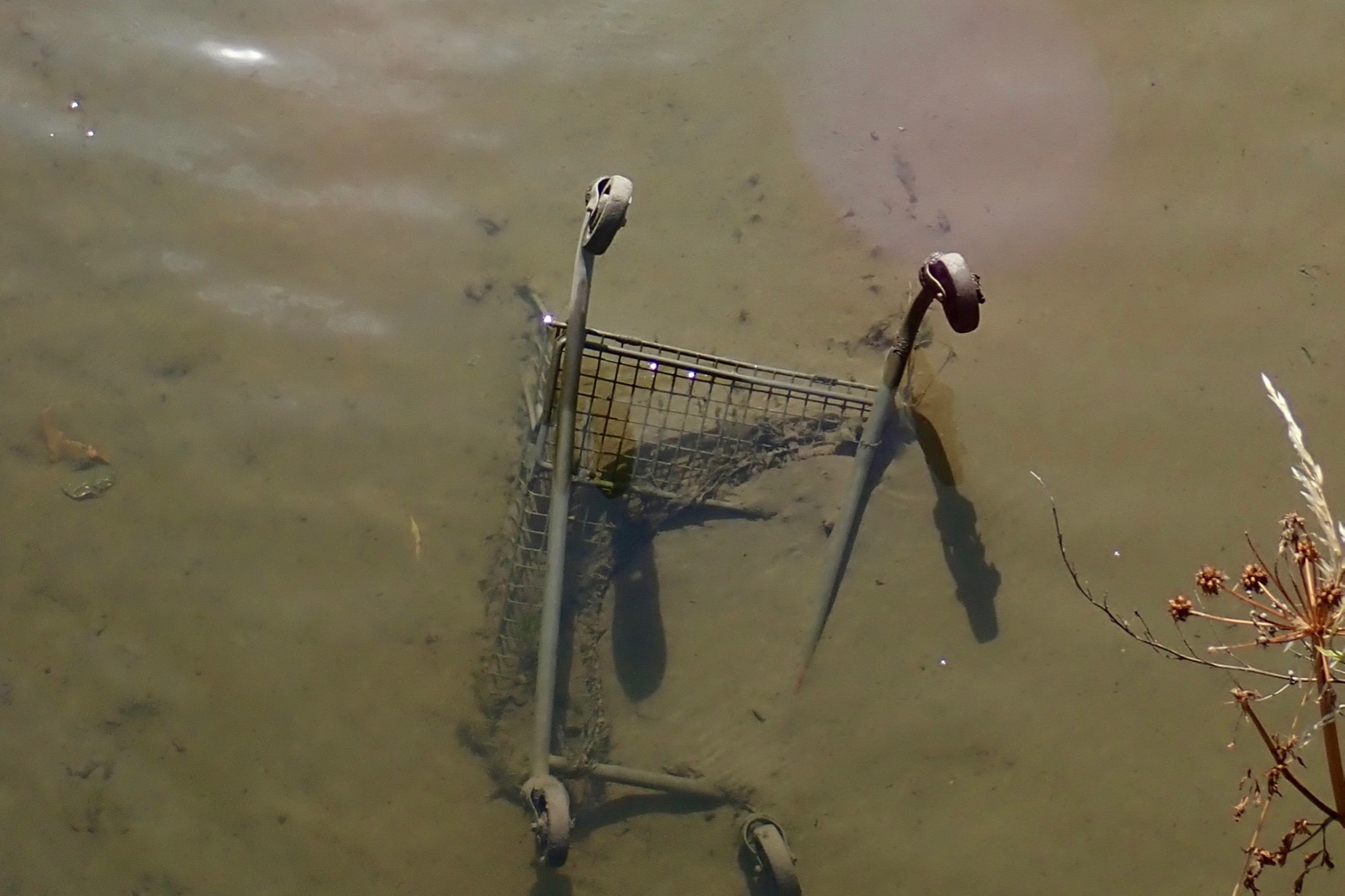
Below, some pictures from our day out.