For the last fortnight the Wessex skies have been clear, and warm winds have blown from the east. After six months in the garage I finally get round to taking the Igla for a day out. Hard to believe I’ve only been out in the Zelgear IK once in mid-winter.
A closer look at the south side of Poole Harbour is the plan, and a 25-minute drive drops me off just before the Sandbanks ferry inlet which we crossed last year in packrafts.

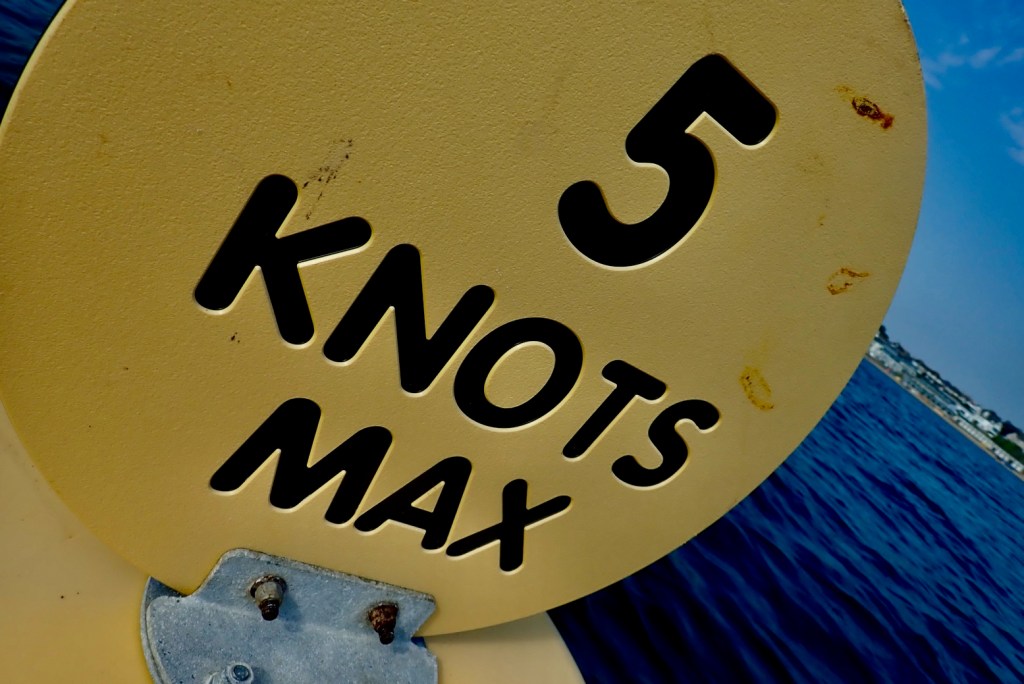
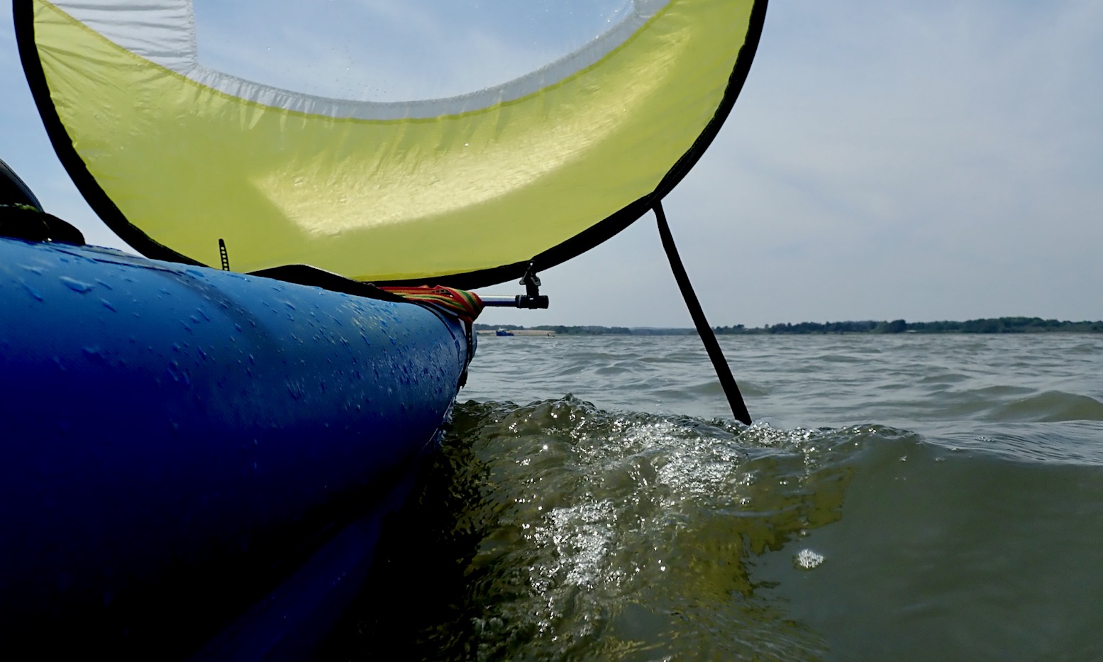
The tide was inbound and the forecast 13mph from the east, rising later and with gusts predicted at twice that according to some sources. Ideal for some downwind sailing action! The plan was to explore as much of the Harbour’s southern shore as wind, curiosity, energy and draught would allow.


Right now I’m reading We, the Navigators; The Ancient Art of Landfinding in the Pacific by David Lewis (1972, open source pdf). In it he explains how Oceania (or Micronesia, Melanesia and Polynesia) were populated by intrepid Asian seafarers – contrary to what the famous Kon Tiki expedition sought to prove. Some had mastered the art of navigating hundreds of miles of open Pacific without any kind of instruments, memorising instead a combination of stars (rising and setting points were like compass bearings) as well as prevailing winds and waves, refracted swells from unseen islands and unseen currents (flying fish always jump down-current; fyi). Travelling with the incredulous author, after days at sea aged South Sea navigators regularly found a tiny pin-prick of an island bang on time.
It’s a fascinating topic but the book focuses purely on the techniques, rather than the adventures they all clearly shared for months. David Lewis’s earlier book, Daughters of the Wind (catamaran from UK to NZ via Cape Horn with young family) may be a more engaging read, and was a voyage on which Lewis practised the instrument and chart-free techniques he later documented in the Navigators.
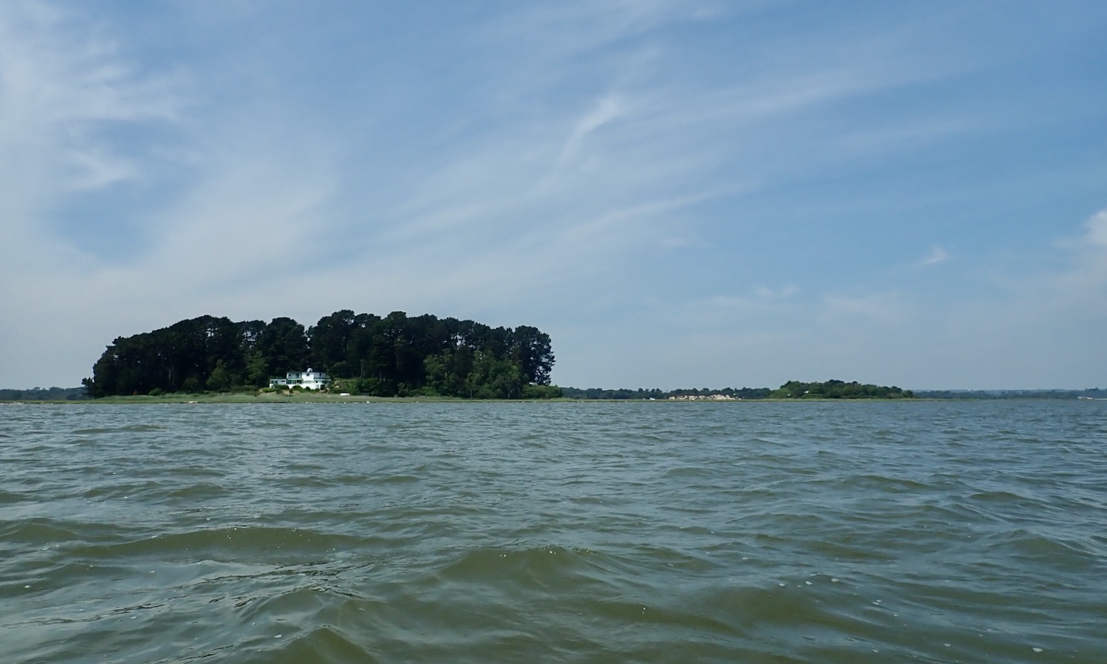

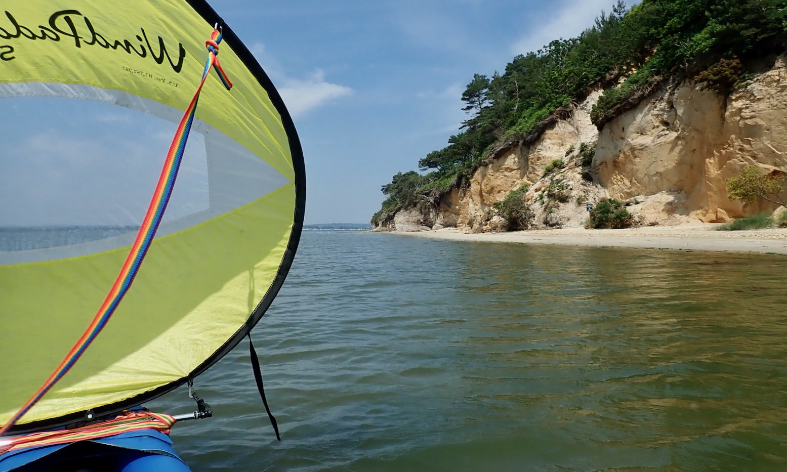
We cycled a trail along the southern shore the other day, branching up to the harbour at a cottage on Ower Bay. From there I couldn’t work out what the wooded island was to the NW. Turns out it’s the south end of Round Island. Sgurr nan Cruinn, that might be in Gaelic.


I have to turn east into the wind to get round it, scattering Oyster Catchers as I go. The taut Igla responds well.

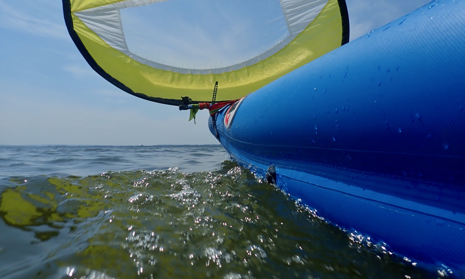

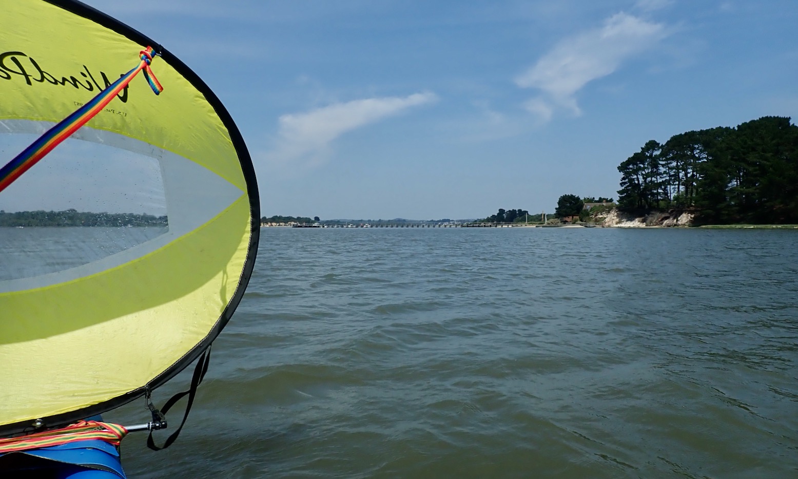
The wind picks up, or get its fetch on at the downwind end of the Harbour. I’ve squeezed all the west i could from the wind and must now turn south. So I stow the sail and paddle a crosswind pushing me towards ancient stakes and into the reeds.

I follow a boat into the hidden river mouth and, with the wind now up to 20mph, I can sail a lot of the river’s meanders the two miles west to Wareham Quay.
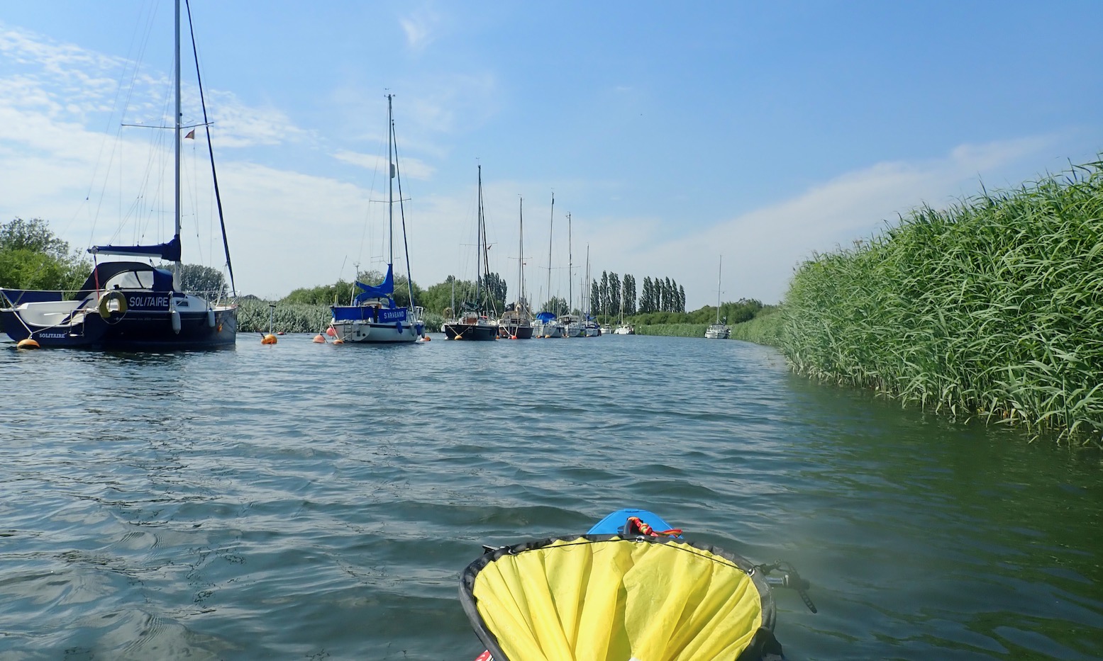

Like a Polynesian master navigator, after my ten-mile traverse of the Harbour, I sail right up to the Quay…
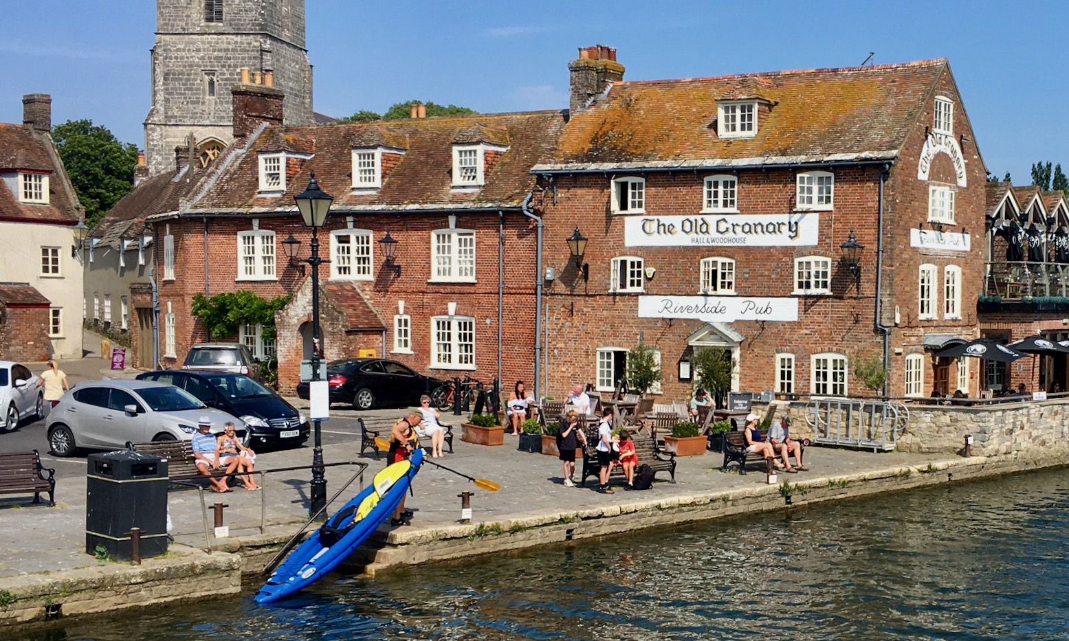
.. casually hop out, and look around for my taxi.

IK or packraft, I wonder to myself. Environment or geography (as well as intended use) help define the best suited packboat. My TXL would have managed this outing fine, if a tad slower, but it sure is nice when the Igla slices through the water, either under sail or into the wind. The problem in this corner of Dorset is, once one tires of noisy, busy, drab but safe Poole Harbour, apart from Swanage (below), getting the inflated 17kg IK down to the exposed Jurassic Coast in suitable conditions is a bit of a faff, even with wheels, let alone getting back out and closing the loop with cars in place. You may as well use hardshells. That’s why I chose the long but still light TXL packraft.
Down here I’m not straying out to islands where speed and efficiency are important. For plain old calm-weather mainland coast hugging, a large packraft does the job and enables public transport, an easy scramble ashore followed by a walk back. But for an effortless coastal tour with plenty of room for two, the Igla has its benefits. It’ll easily paddle at 8kph on a breeze too light to hold up a sail and that’s an extra 30% more speed or so less sustained effort over a few hours.