
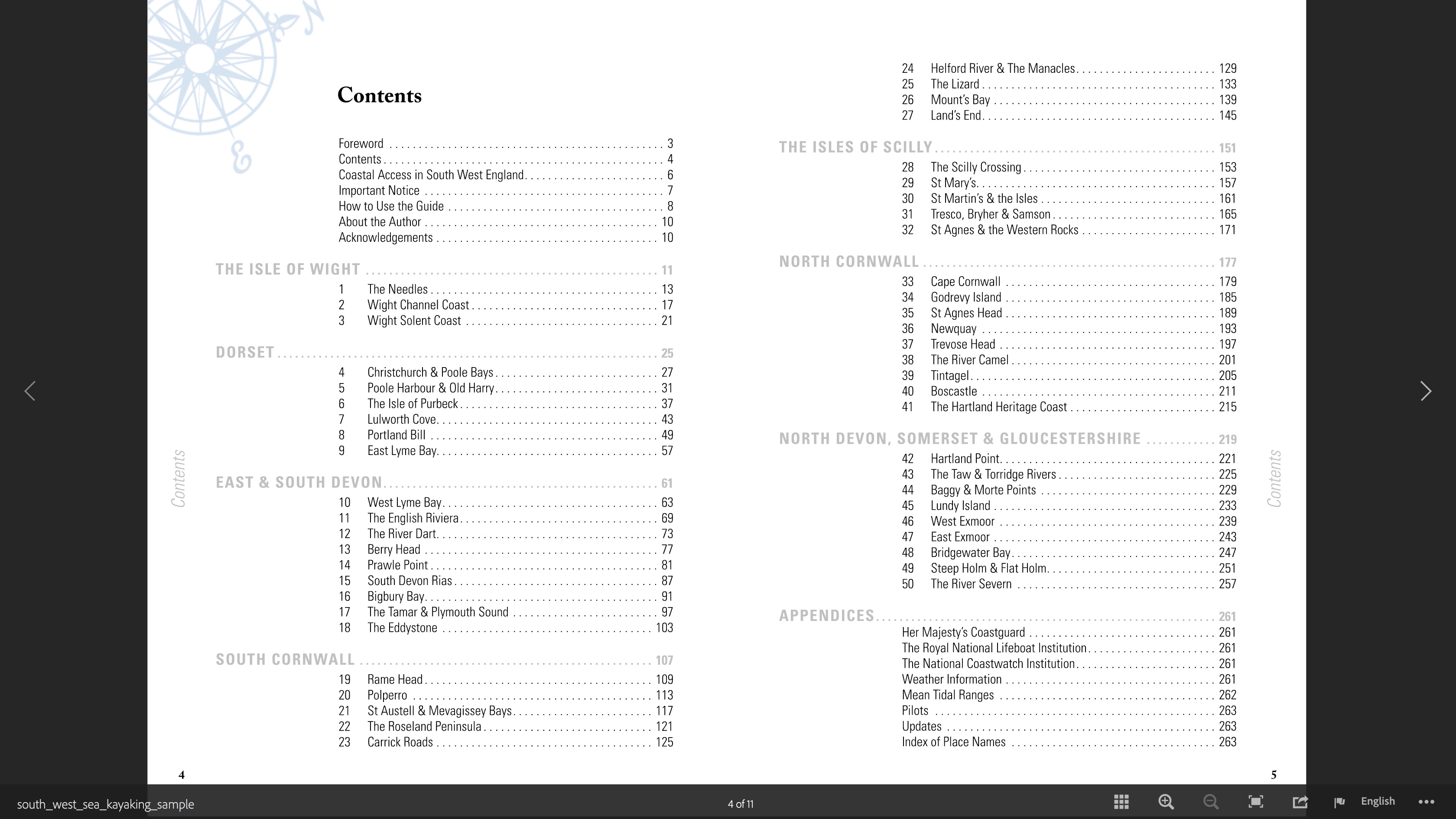
In a line
[SWSK has…] Loads of ideas and detailed information covering 50 paddling itineraries along hundreds of miles of England’s fascinating southwestern coastline.
Well worth 17 quid on amazon.uk
This revised and updated third edition provides a guide to the entire South West’s coasts and islands. It is packed with great photography and detailed route maps, alongside descriptions and anecdotes unveiling the region’s rich tapestry of maritime scenery, wildlife, history, geology and culture
April 2021; 272pp; Pesda Press

Review
Although I’ve only done a couple of routes, this is a comprehensive handbook to safely plan a paddle along this complex but accessible and populated coastline. Or just browse through to get some ideas of what’s possible. Of the 50 suggested routes, 14 are grade ‘A’ for easy, 25 are ‘B’ and the other 11 are ‘C’, like Cape Cornwall, Lundy Island or the crossing to Scilly Isles which are a bit of a reach for a solo paddler in an IK, even without a gale blowing. Any IK or even a packraft party could manage a B in ideal conditions – but of course even an A-grade paddle could get too lively at the wrong tide in nasty weather. That’s UK sea paddling for you: a lot of sitting about watching the weather forecast.

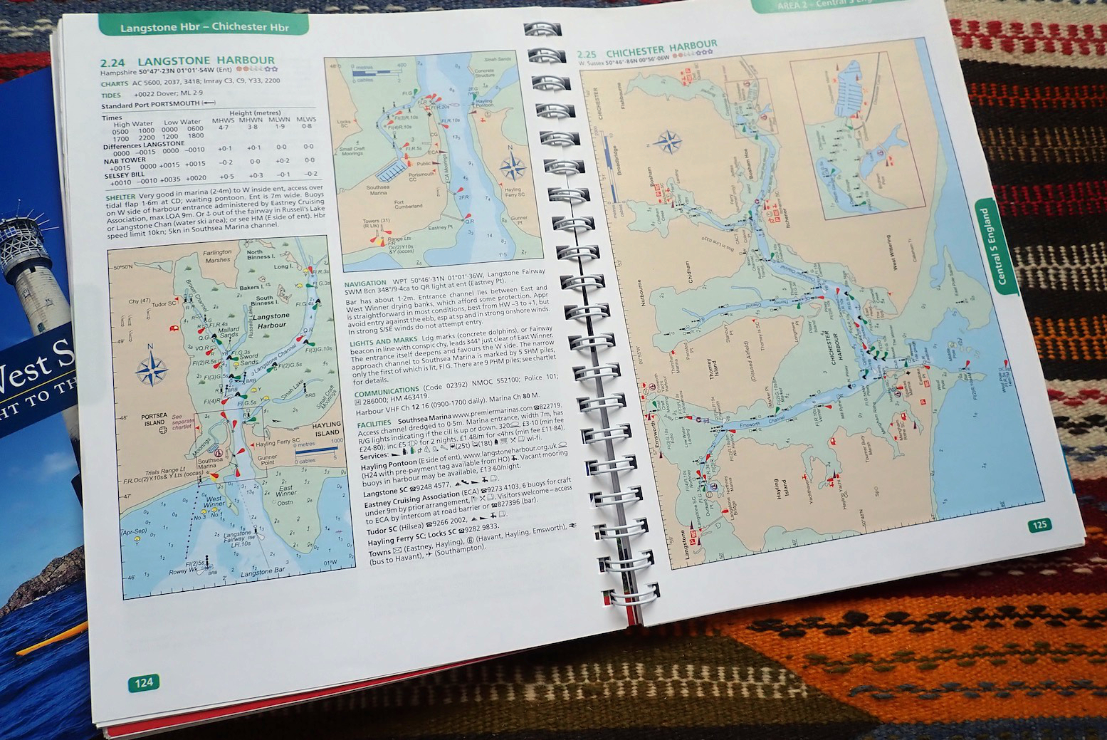
Suggested start and finish points are given with a postcode and OS map coordinates along with the given OS sheet. It would be nice to also have more easily copied and interpreted GPS decimal degrees (for example: 51.2025, -4.6777: tip of Lundy) which most people use these days over arcane OS coordinates, even if they’re likely have OS maps in their phone or GPS.
Nearby tidal ports are a way of calculating the time of the tide in your area, and there’s a detailed paragraph on tidal times and what might be happening where and at what stage of the tide and how fast it runs during stronger springs. Some of this information was probably collected from a Reeds Almanac (see below) so it’s one less thing to buy or consult. As it is, most of us will check and bookmark local tide times on a phone before reception gets lost. I’ve recently found that Willy Weather gives many reliable timings for places between the UKHO locations.
In particular the Pedsa book will point out where the water can get turbid at spring tides around headlands – important information you’ll struggle to find or interpret easily online and especially important in a less agile inflatable.
A detailed description follows, you can tell most if not all the routes have actually been done by author Mark Rainsley at least once, and that’s followed by Tide & Weather and Additional Information, all adding up to a thorough guide to what you’re taking on. In between you get boxed asides, most describing terrible maritime tragedies or badly behaved smugglers which all chime with the author’s sometimes dark humour, as well as background reading: that’s the sort of guidebook we like!

One annoyance in search of a clean design is putting the captions of the many colour photos deep in the gutter of this thick and thick-papered book that’s about an inch in thickness. Along with the uncluttered colour maps, most of these photos work well in visualising the region described. And the dark humour mentioned can extend to gloating in the dangers in an ‘are you man enough?’ sort way, rather than encouraging what could be possible. But that’s the author’s style and you adjust accordingly, as with any guidebook.
I can see myself using this much more than Pesda’s North West Sea Kayaking guide I bought years ago and hardly ever used (as I mostly paddled in one small area). Even if you just end up doing a handful of Southwest routes in your IK or P, you’ll set off well armed with what need to know and so won’t regret spending the typically discounted 16 quid. It’s a lot of book for that money.

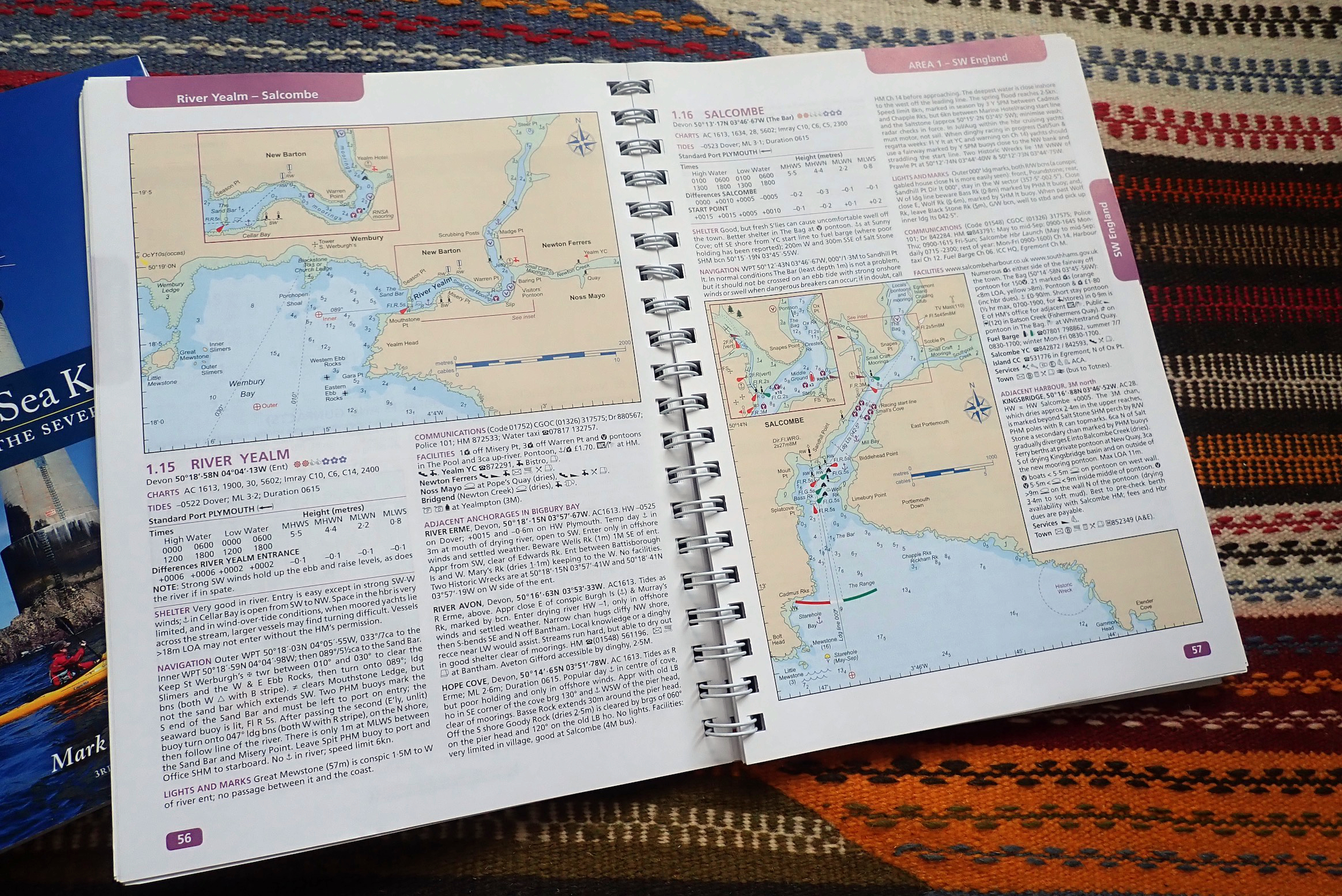
It was sailer Barry who alerted me to the value of a ring-bound Reeds Almanac prior to our Jurassic paddle. I’ve heard of Reeds of course, but assumed it was strictly for yachtsmen.
In print since 1932, there’s loads of little value or interest to a fairweather sea inflationeer – the most useful thing kayakers want to know are locally intensified tidal streams and the Pesda book covers that with more clarity on the included routes.
Still, it’s reissued every year with annual tide predictions (easily found online anyway) so you can pick up a recent used edition, like the ‘Channel Almanac’ (south England and NW French coast only) for a fiver, ditch the tide and French pages, and learn all about harbour features, the meaning of buoyage and big-picture tidals streams in the Channel over the 12-hour span of a tide (below left).