See also:
English South Coast category
Book review: South West Sea Kayaking, Mark Rainsley
Book review: Bradt Paddling France, Anna Richards
In a line
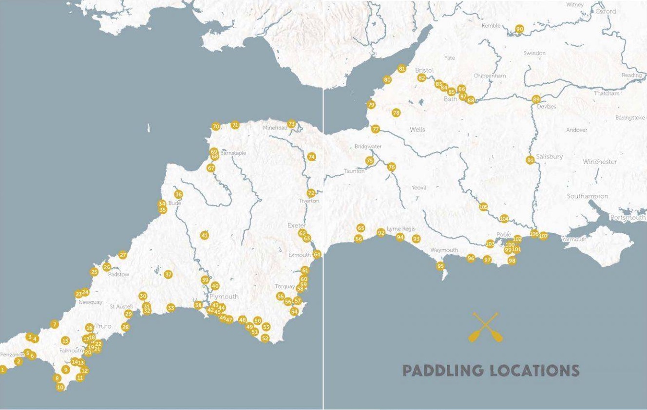
Promising selection of rivers, canals and inshore SUP paddles right across the beautiful Southwest, but just one map.
What they say
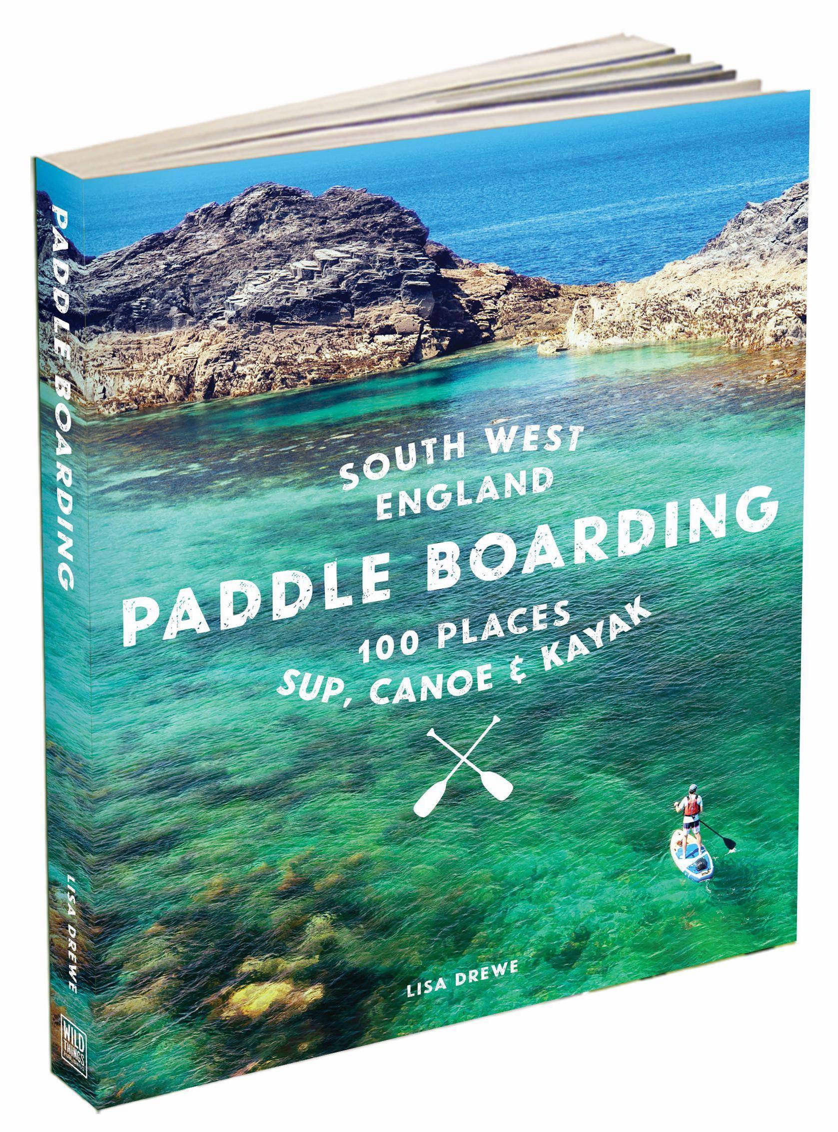
Explore the best of South West England’s rivers, canals, lakes, estuaries and beaches by paddle board, canoe and kayak
Paddle along meandering estuaries, wild swim and picnic on silver sands. Featuring more than 100 stunning locations across Cornwall, Devon, Dorset, Wiltshire and Somerset, this trusted guide provides all the practical information you’ll need for trips out on the water by paddle board, canoe or kayak, whether you’re a beginner or a seasoned paddler.
Illustrated with sparkling photography and offering a variety of routes, this is a beautiful and inspiring book for water lovers and adventurers afloat.
Rrp £18.99, £8.99, 2023, 255pp
Review copy supplied by Wild Things Publishing (WTP)

• Covers over a 100 paddles from Wiltshire to Lands End
• Nicely written descriptions and genuinely useful practicalities
• Most photos by the talented author, not Shutterstock etc
• Responsible take on PFDs which are often pictured in use
• Now uses decimal degrees (D.D°) waypoints for start/end points (and the obsolete OS grid ref). In the pdf, along with website urls, D.D° waypoints are hotlinked to Google Maps
• Details for public transport returning to start point, where it exists

• No route maps means added effort required to work out what, how and where
• Doesn’t say where printed so presumably not UK
• The ‘Getting There’ descriptions of lefts and rights and road numbers is redundant these days. A postcode or D.D° for the satnav or phone is adequate
Review
Getting in on the wild swimming craze early, WTP moved on the ‘boarding a short while after Lisa Drewe brought us her original and award winning Islandeering guide in 2020.
A proper, experienced kayaker turned SUP evangelist, the author knows her paddling, in particular what’s important, safety wise. Like Bradt’s Lizzie Carr, she’s also an environmental campaigner or conservationist, and it seems her SUP epiphany in the US was similar to my own while there. Suddenly there was a new and accessible way to explore the blue bits on a map.
The book is subtitled ‘canoe & kayak’ to catch the likes of me who don’t get the SUP thing, but that’s the last mention of boats in words or most pictures. Of course, what you can SUP you can easily packraft or IK, and the range of inland and inshore paddles is much more accessible to the majority of recreational paddlers than Pesda’s South West Sea Kayaking.
Up front you get a map covering all 100+ paddles, followed by a table including gradings and distances ready for you highlighter pen. The lengthy intro leads on to choosing a board and getting trained, then there’s a detailed section on trip planning for sea or rivers and what to wear pack.
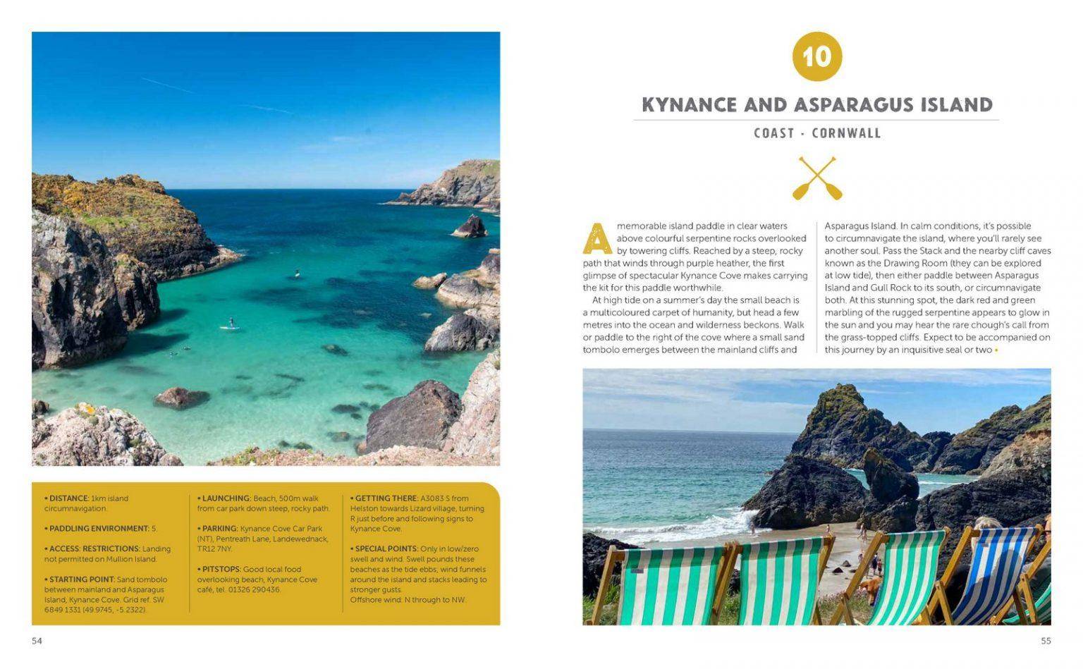
Covering one location per spread, you can flick open any page, like above or below, and be presented with a mouthwatering paddling suggestion. You get nice photos, a description and solid practical info in the yellow box, which occasionally includes public transport links for your rolled-up inflatable which might not be an iSUP.
The Pesda South West sea kayaking book knows what counts and provides sometimes near full-page maps of each suggested route. This book has pretty pictures of aquamarine bays. The lack of route maps in a route guide is baffling and relegates it into the ‘lifestyle’ category not everyone rates. How else can you effectively and concisely express this information? It’s not a space issue; any one of the generic shots could be have dropped or resized. I’d have happily paid another £1 for route maps because read any paddle description and you soon start thinking, ‘hmm, sounds good but what does it look like on the ground?’. A map depicts this information at a glance. The author’s Islandeering book (not a paddling book) had great maps and other Wild Guides, including their well-known wild swimming books at least have regional maps to supplement the main map up front. I’m told it’s a combination of space, aesthetics and cost.
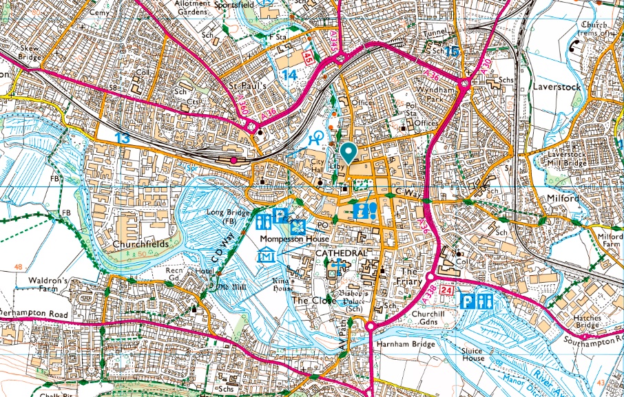
Take Route 91 for example: the ~5-km Salisbury Loop. Sounds great, easy access and a lovely picture of ‘boarding past the willows below the cathedral spire and no license required, we’re told.
Now try to make sense of the dense network of rivers and canals surrounding the city (left) from the text. ‘Nadder Island’ is mentioned to avoid a weir, but it’s not even on the OS map (it’s the crescent below Churchfields). You want to hope you don’t take a wrong turn and get sucked into the municipal sewage compactor sluice.
The two paddles covering Christchurch (which I bikerafted recently) are another example, and it’s the same with so many other paddles in this guide: they’d be so much easier to visualise and so get inspired by with one less photo and a basic map to cross referenced to a more detailed OS map or whatever’s on your phone. Failing that, link to an online map like here. Lisa Drewe is an ‘OS Champion‘, after all!
The book ends with detailed sections or water safety and how to paddle responsibly – the sort of solid, concise but practical information which was missing from Bradt’s France book. With maps South West England Paddle Boarding would be a perfect, self-contained paddling guide to this magical region. As it is, it’ll still give you loads of ideas, even if you need to work for them.