
With the car in for an MoT at Kwik-Fit in Hamworthy, it made sense to do a Poole harbour paddle rather than go home or hang out. Kwik-Fit is close to Lytchett Bay, an intertidal embayment or tidal inland lake crossed by the London-Weymouth rail line spanning a narrow outlet. A 10km lap from there out into Wareham Channel and back into the adjacent Holes Bay (another embayment with a narrow pass under a rail bridge) might be possible in the time I had. If not, I could hop off anywhere and walk back to the garage. That is the appeal of pack boating!
This route – out one tidal channel and in via another – had similarities with our lap around Hayling Island a few years back in the Seawave. On that occasion we had to go full steam against the incoming tide to get out of Langstone Harbour back into the Solent to close the loop. This Poole loop would only require a 500-m walk from Holes Bay shore back to Kwik-Fit.

The winds were 10-13mph from the southwest which made sailing just about possible along my ESE route. The tide was coming in and levelling off about 3pm for 6 hours before dropping steeply again. In Poole Harbour – second only to Sydney Harbour but with an outlet just 300-m wide at Sandbanks chain ferry – the tides are far from simple sine waves. It may still be going in at Wareham at the back end, when it’s already going out at Sandbanks. There are four tide points listed by UKHO in Poole Harbour and I’m pretty sure ‘Poole Harbour’ refers to the RoRo ferry port on the north side. PHC is a great resource.
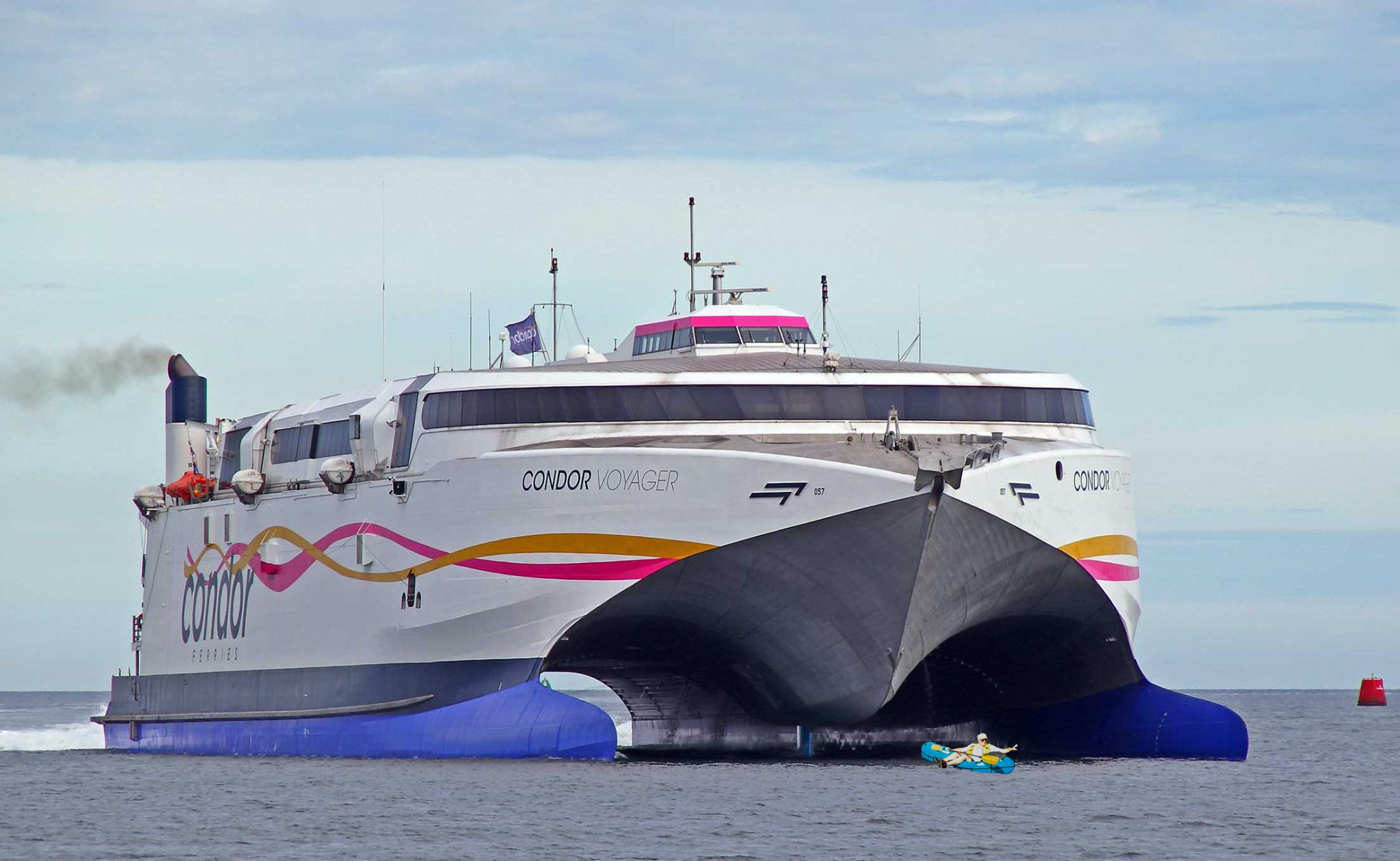
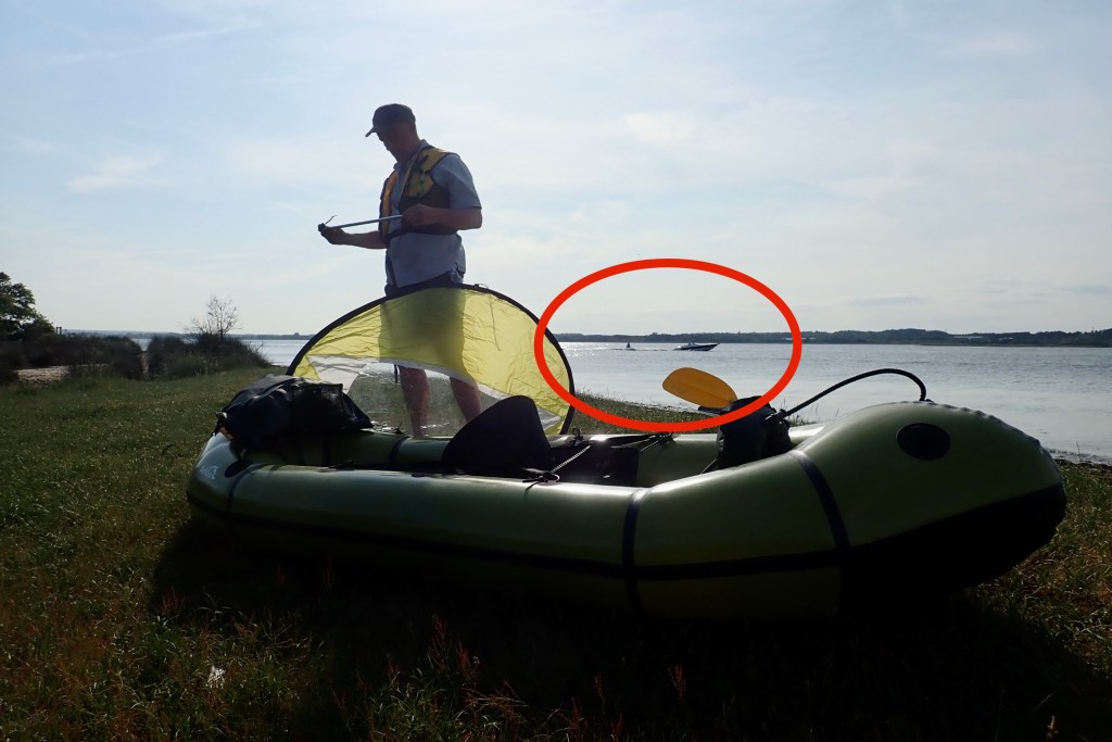
My route would take me right past the ferry berth where getting in the way of a gigantic ferry would probably raise a yellow card. Again, on PWC I was able to see today’s main ferry movements: the massive Condor Voyager cheesecutter class twin hull (above) would depart for St Malo at 14.15. I’d probably be an hour behind.

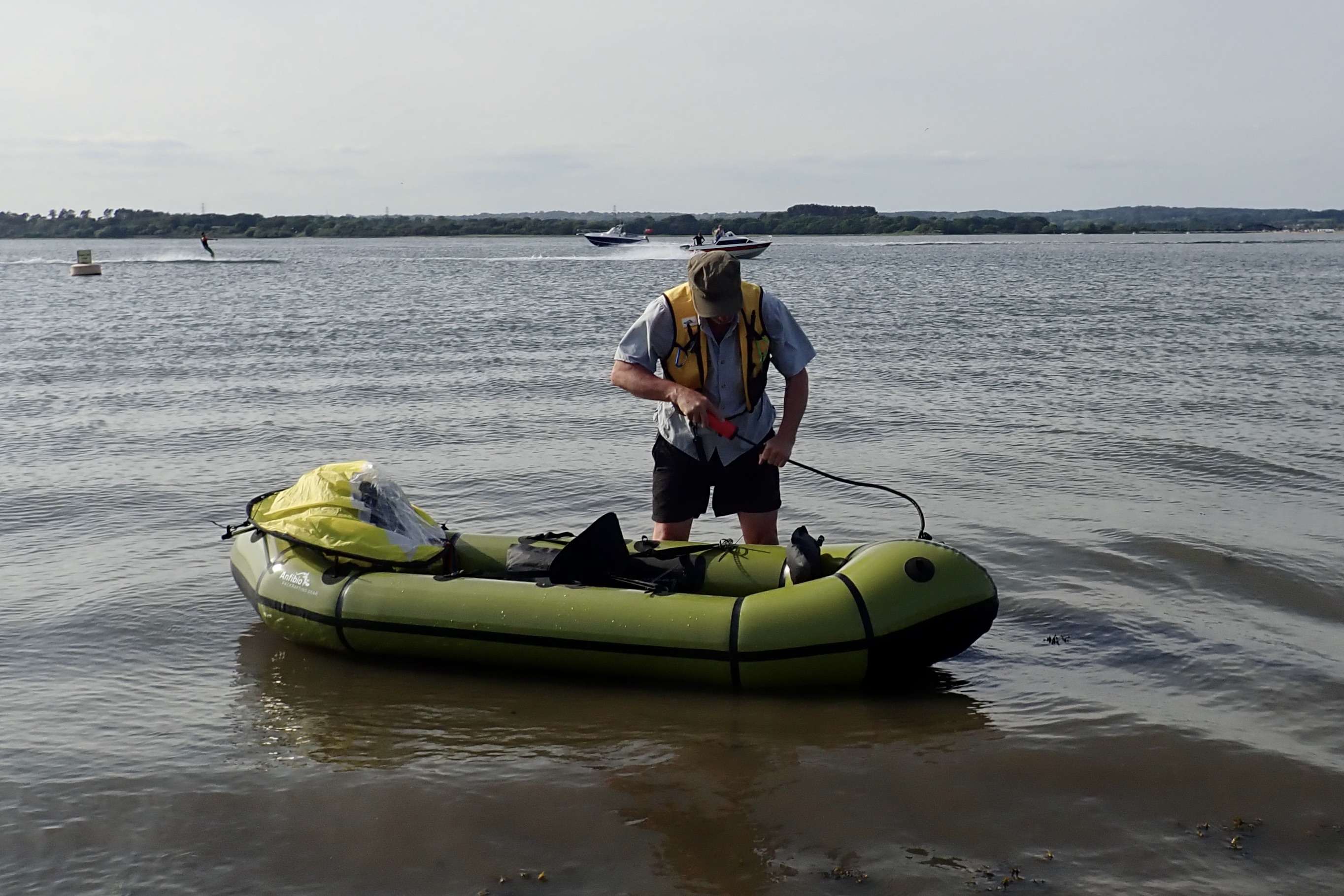
I set off from Kwik-Fit across Turlin Moor park aiming for the inlet, and once I saw some water, bundled through thick, 2-metre-high reeds on the off chance.

But once I emerged from the dense reed jungle I could see I was a bit early at this point, with 100m of knee-deep sludge ahead. It’s large acreages of tidal mudflats like this which give Poole Harbour its average depth of less than 50cm. That’s about the same depth I’d sink into the mud, trying to reach the water.
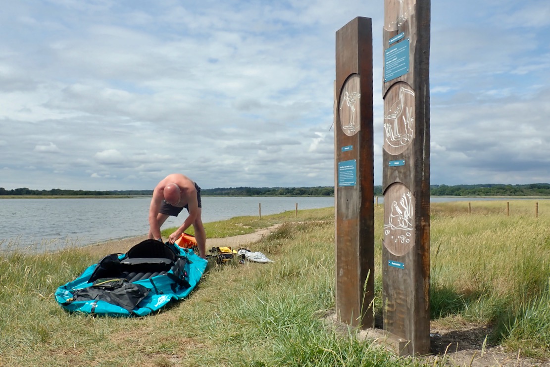
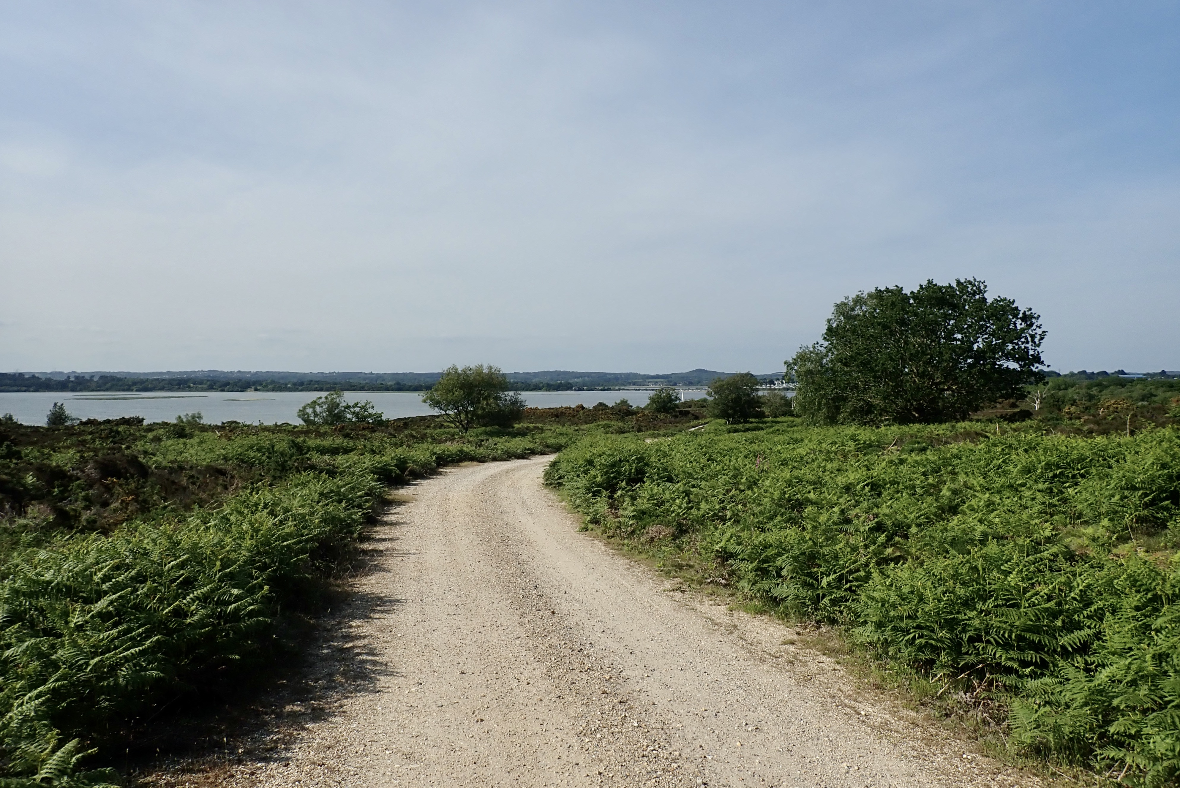
So I turned back and carried on along the shore until a path led behind some houses and through the trees to this grassy, reed-free bench by a sandy beach: 50.72448, -2.03601. If you want a mess-free, easy way to get on the water at Lytchett Bay east, aim for here.
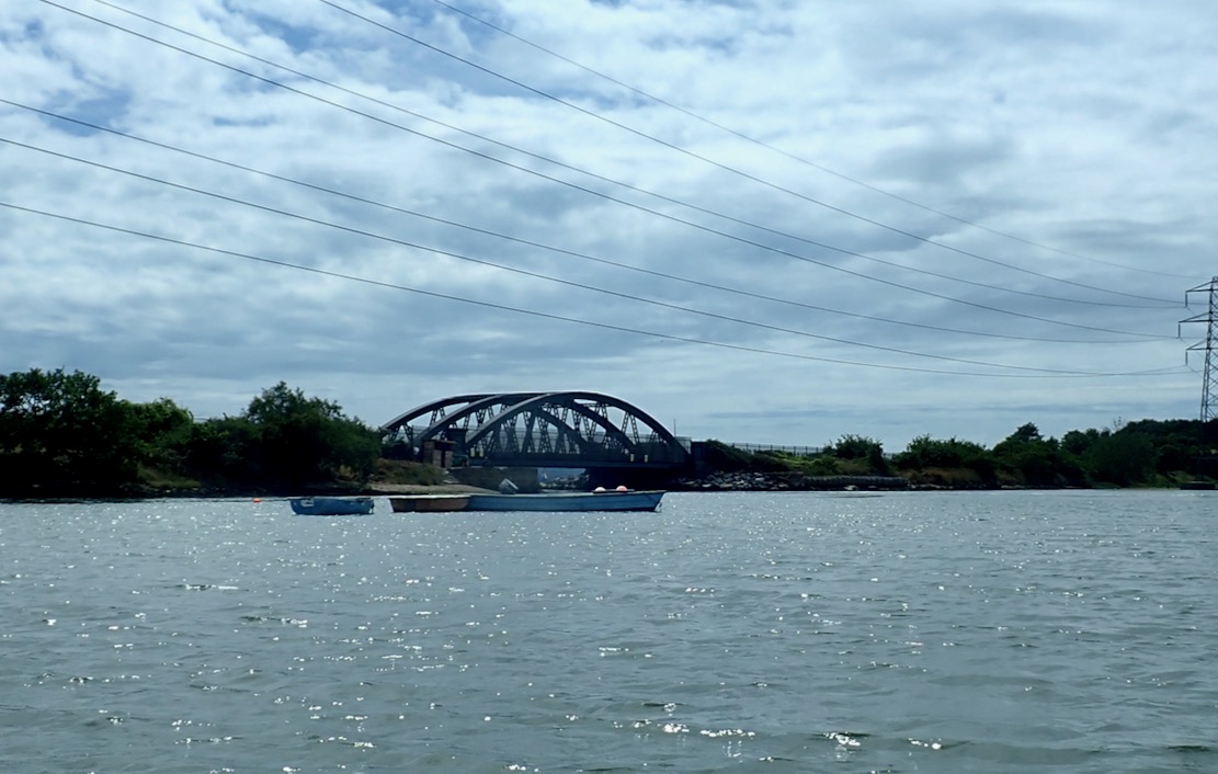
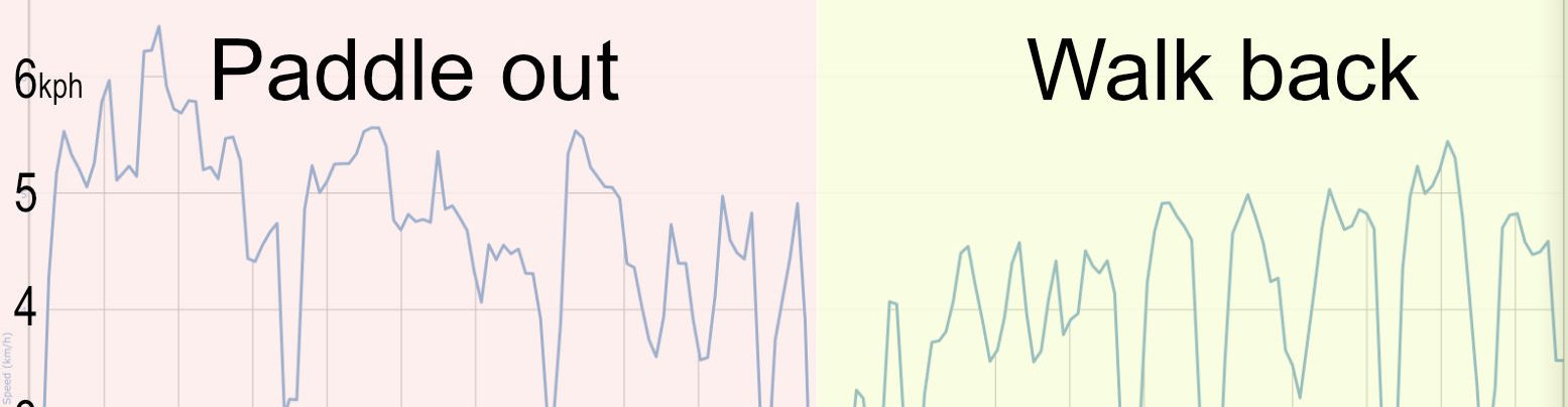
A headwind was blowing quite hard, but it was only 500m to the rail bridge narrows, after which I’d turn southeast to pick up what wind I could get. Setting off, the TXL+ felt like it was zipping along as wind and waves rushed past. Up to 6kph, according to the GPS as I neared the narrows. That was probably an unseen back eddy sucking me into the gap, because as I got nearer I could see a current ripping through under the bridge at at least the same speed or more. I powered in hard along the edge, like we’d done at Hayling, but could only manage 0kph.

“Try on the other side” said the bloke lurking by the abutments, so I ferried across and, with a lot more effort managed to squeeze under the bridge and hook behind some rocks for a breather while not getting drawn back in.
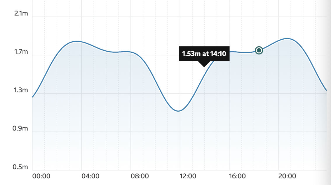
I’d swum half a mile that morning which can be enough exercise for one day. Paddling under the bridge was like doing 50 pull-ups and I was a bit pooped. I looked later at the state of the tide at that precise time (left) and saw I’d been about an hour early.

I took a wide arc out to avoid the worst of the tide race and headed off towards Rockley Sands where I came ashore last year on my way to buy a moto. The wind from my right wasn’t ideal for sailing in my direction, so I paddled out into the channel to turn and get a better angle as it pushed me towards the shore.
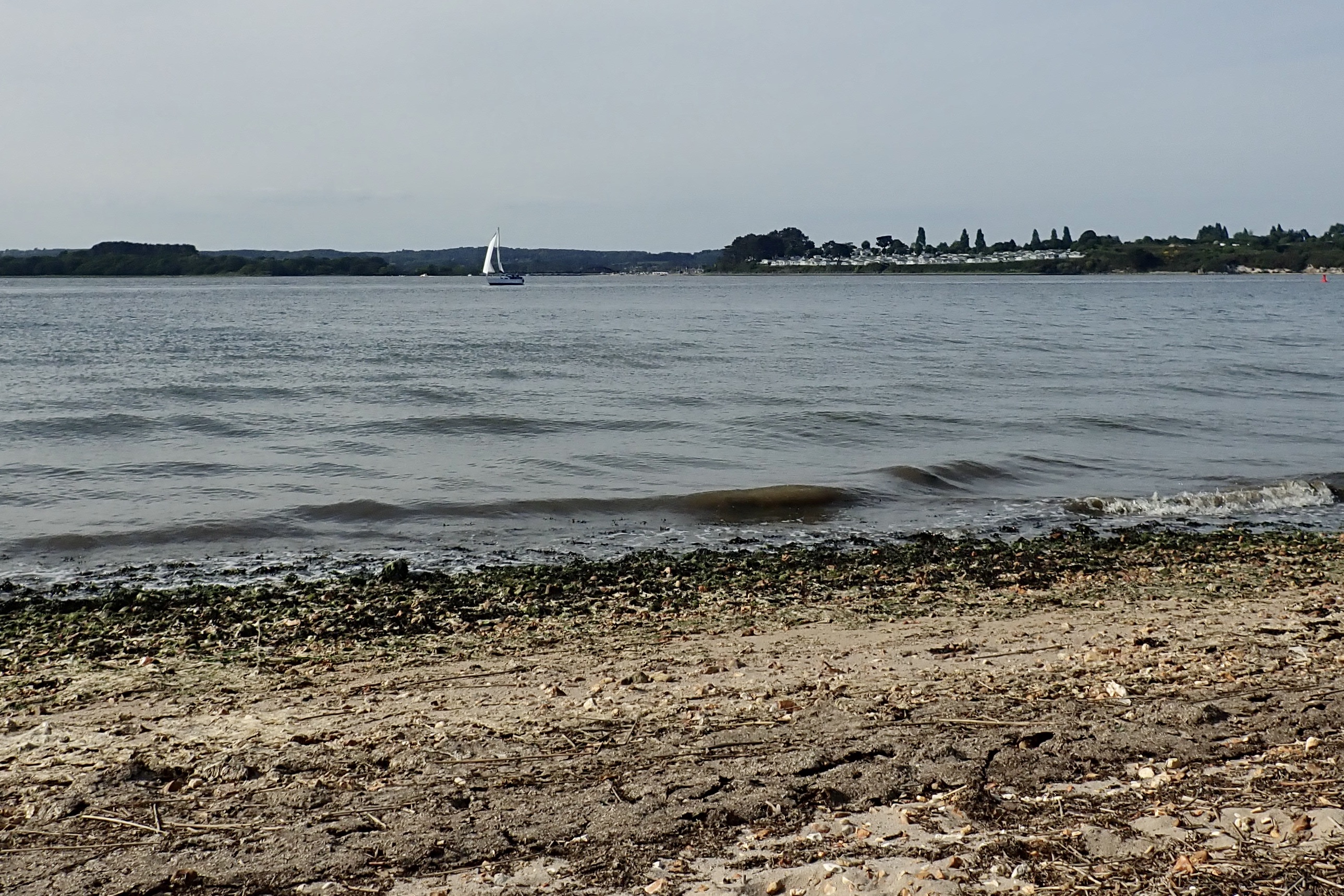
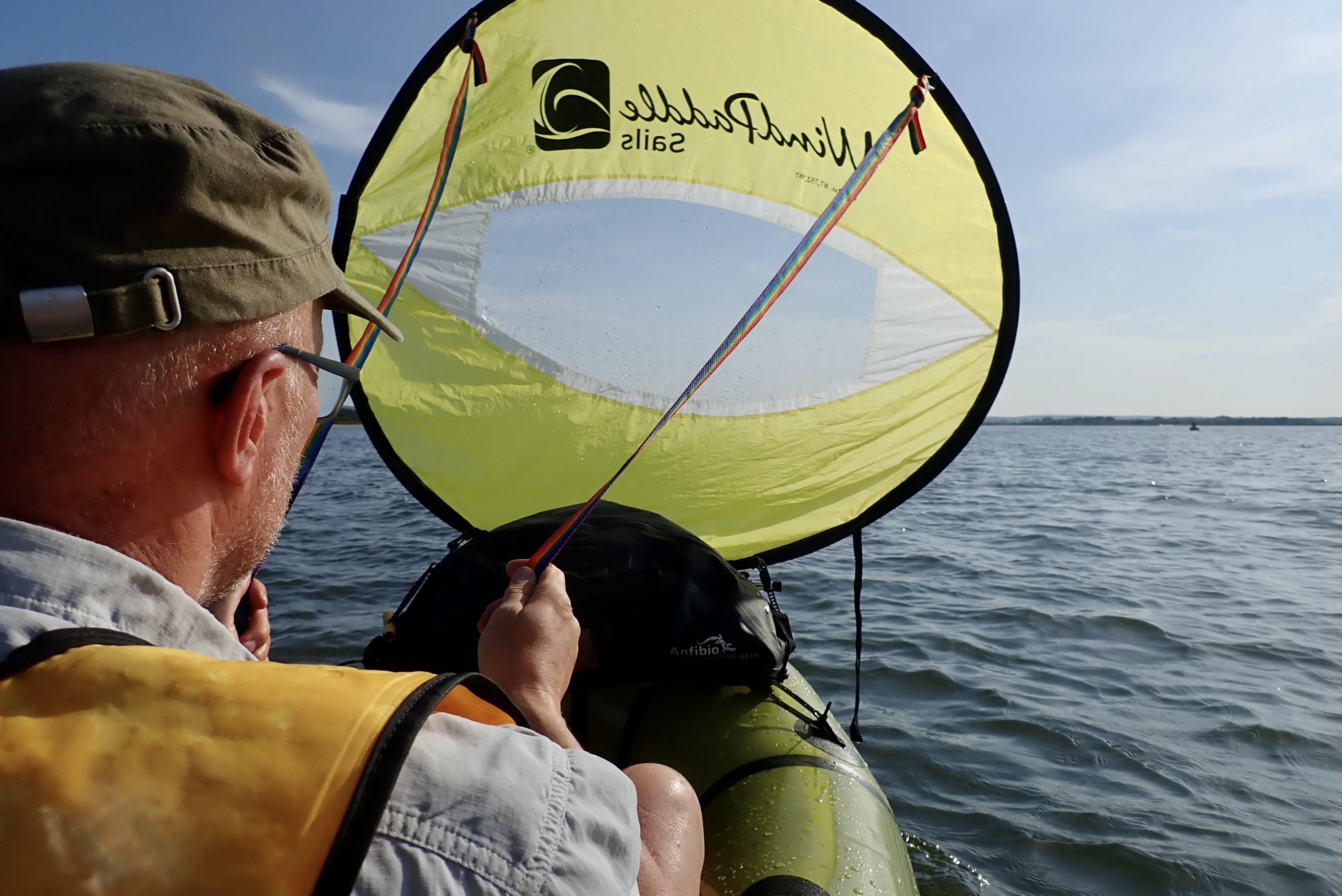
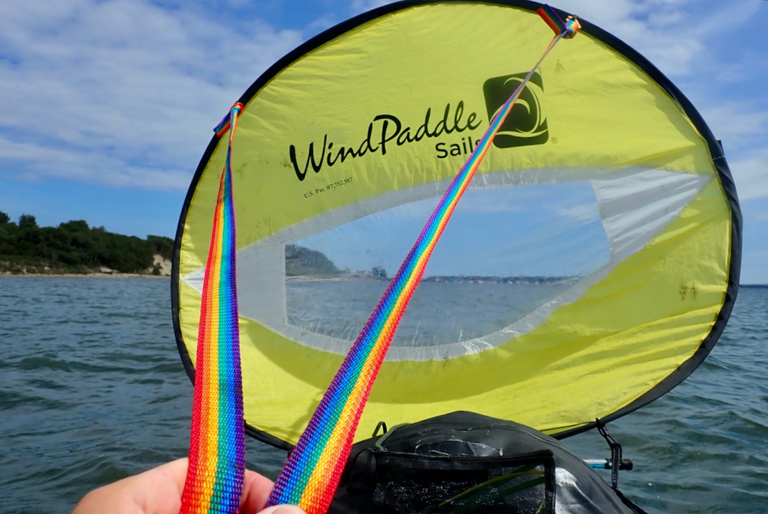
Though I was hardly bombing along, getting the sail up was the rest I needed. Out in the Channel, loads of sailing boats were fluttering to and fro past Brownsea island, and at one point a lightweight sailing cat passed close by with a hiss. I could do with some sails like that. As usual the WindPaddle was hit and miss. Holding 45° off the wind with some steering is not bad for what it is, but it never stays on it for long before getting in a flap.
However, as I got pushed towards the shore again, I really appreciated the way I could pull the WindPaddle down, give it a twist and tuck the lower fold under the Anfibio DeckPack in seconds. It was a handy trick I discovered while belting down a wind struck loch in Knoydart one time.

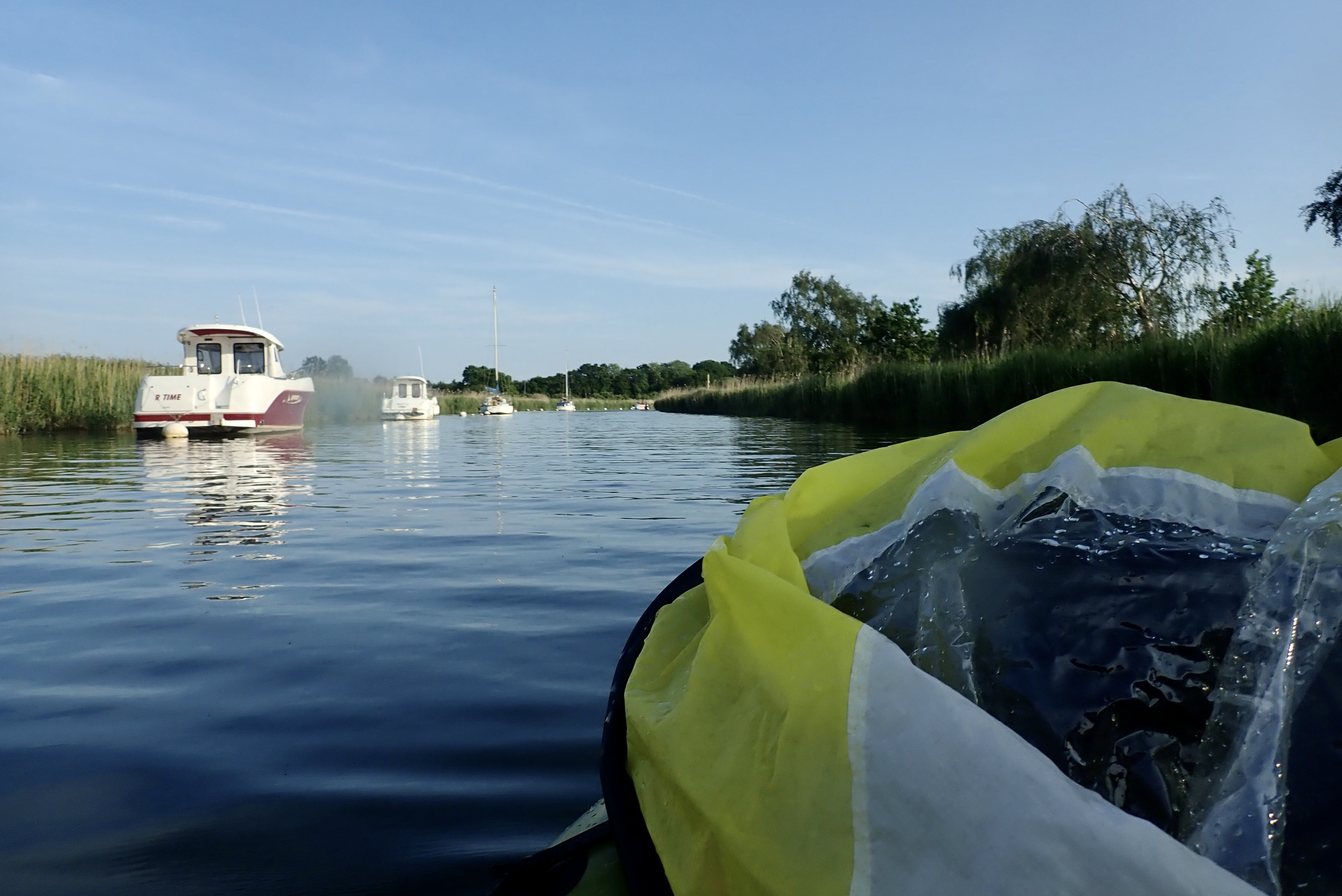
I passed a couple of piers and a series of long private jetties extending from people’s back gardens, some with a motorboat at the end perched on giant hydraulic hoists to stop them getting too wet. I assumed this was luxury overspill from affluent Sandbanks nearby, once home to the most expensive properties in the UK, but here “…overall, the historical sold prices in Branksea Avenue over the last year were 41% down on the previous year and 75% down on the 2011 peak of £2,262,500.” Unless rising sea levels are coming quicker than we think, or they’re putting in a new high-speed railway, it did seem an implausibly catastrophic collapse in house prices. Maybe the Rightmove AI needs to be burped.

Now heading more east, the wind was getting behind me. I made another effort to paddle out into the Channel to get a good run, and this time the TXL got picked up and rushed along. This was more like it, with an aerated bow wave frothing away by my feet. I squeezed every last minute out of a good run of nearly half a mile, not quite managing to steer around the breakwater of Poole Yacht Club where the accumulated fetch and rebound slapped me around a bit, but the TXL sat steady as a barge.
Round the corner I passed the entrance to Poole Yacht Club with a ‘Visitors Welcome’ sign and wondered if that included packrafts.
The phone rang.
‘Kwik-Fit here. Your Micra’s ready in 40 minutes.’
‘My word that was quick!’
A quick look at the map showed I was just less than halfway and would soon turn into Holes Bay with no more wind behind me, but with the high tide negligible. It would be tight to get back to the garage before it closed, so I turned into a dock entrance and rolled up the boat on the slipway.

I assumed this dock was part of the welcoming yacht club marina next door, but it was actually more like a deserted service yard for the ferry port right next door, surrounded on all sides by high security fences and an electric gate.
I dare say some security guard was observing me on his CCTV lair somewhere. After nosing around the portacabins and sheds looking for someone, a guy appeared in his car and swiped me out with his pass.
Things always work out, and as I passed the entrance to the Yacht Club, that too had electric security gates, though probably someone manning them. Looking at the map, a better take-out would have been Hamworthy Park by the club’s breakwater (50.71099, -2.00039), leading to a footbridge short cut over the rail line.


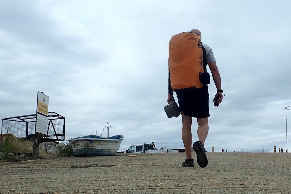
I walked right past the Customs and Immigration cabins (above left) of Poole ferry port, and a helpful map affirming je pagaie donc je suis ici with irreducible Cartesian logic. So – paddling mission not fully accomplished but the old Micra was on the road for another year.

Looking back at the tide graphs for Poole Harbour, it seems that at the lowest neap tides (as it was two days later), there can be a 7 hour period when the high tide flattens off and rises then falls more than 20cm. That would be the best time to try and paddle around Hamworthy between Lytchett and Holes Bay. It could also be fun to leave Holes Bay on an ebbing spring tide to get a good blast under the rail bridge narrows, down the channel through downtown Poole and out into the harbour.