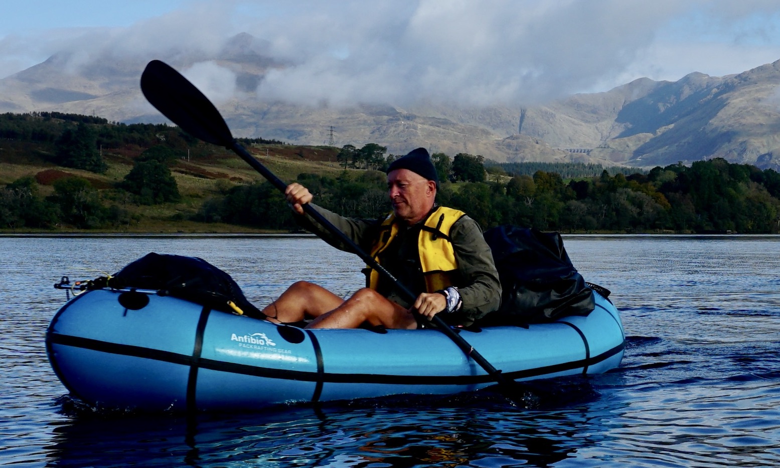
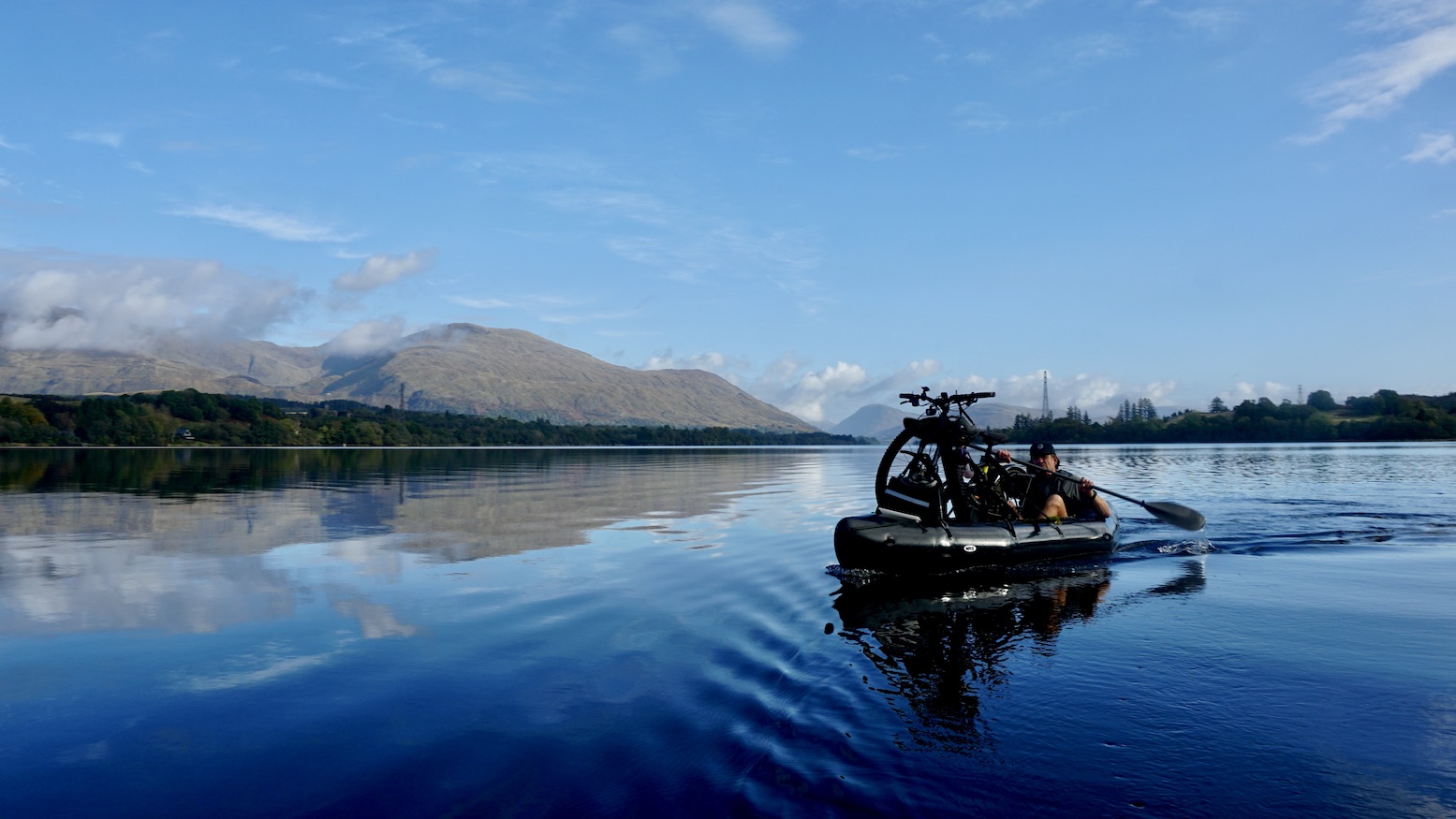
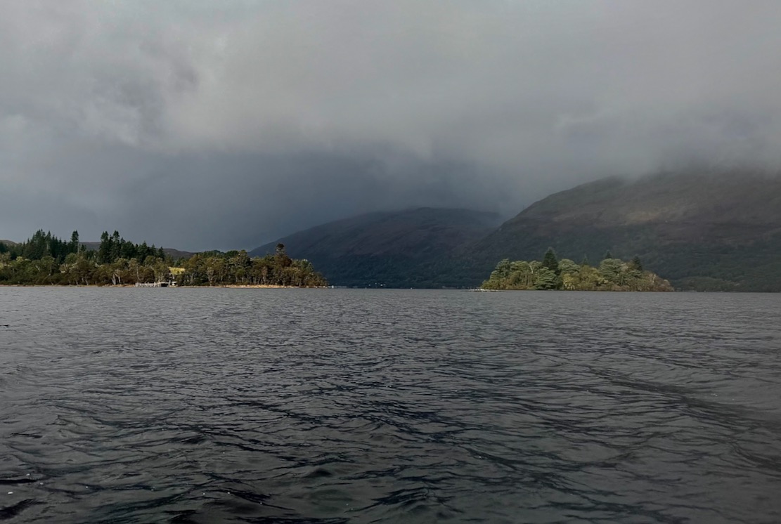
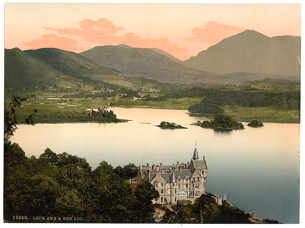
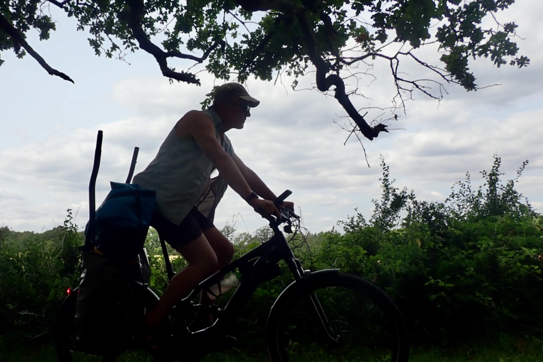
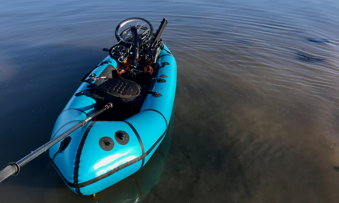
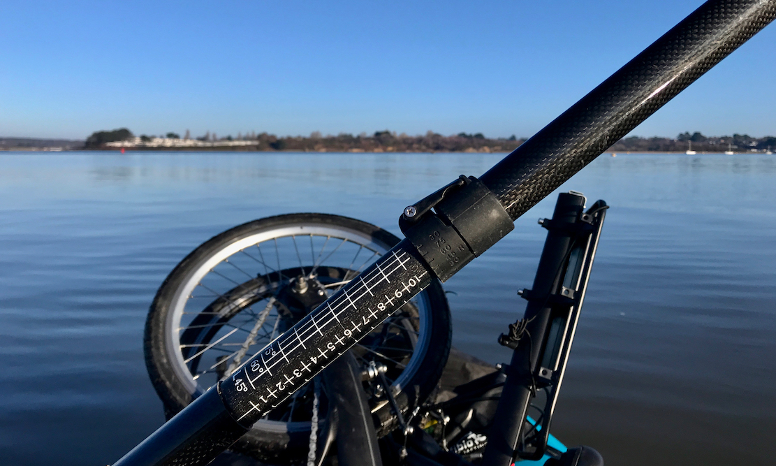
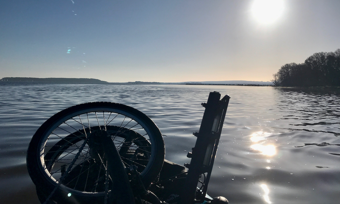
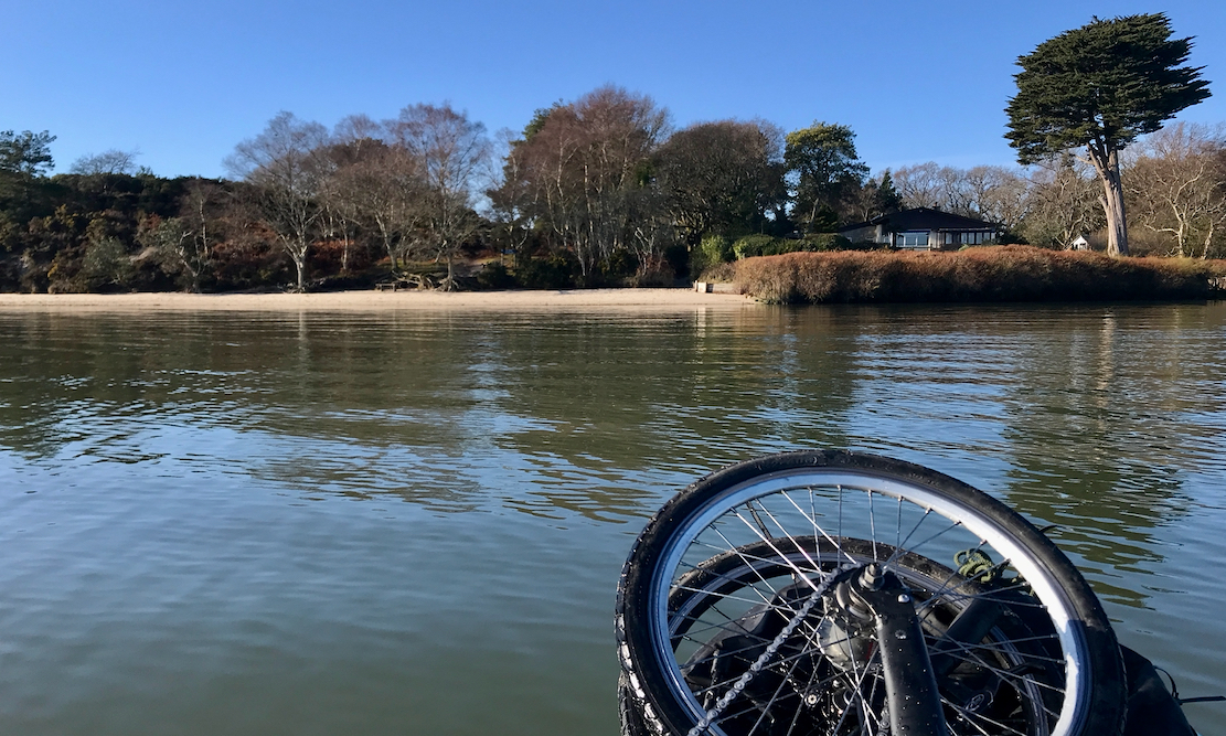
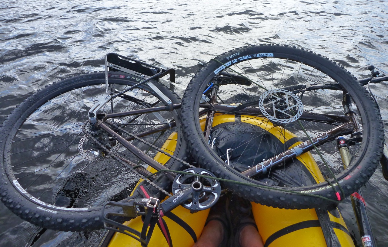
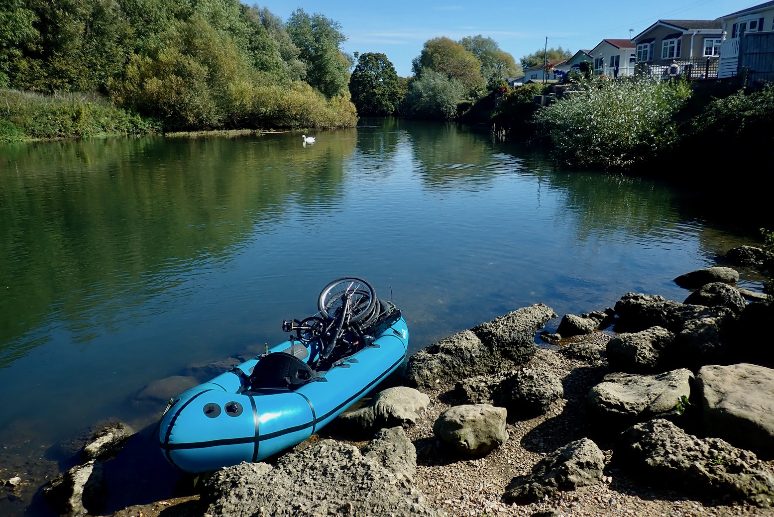
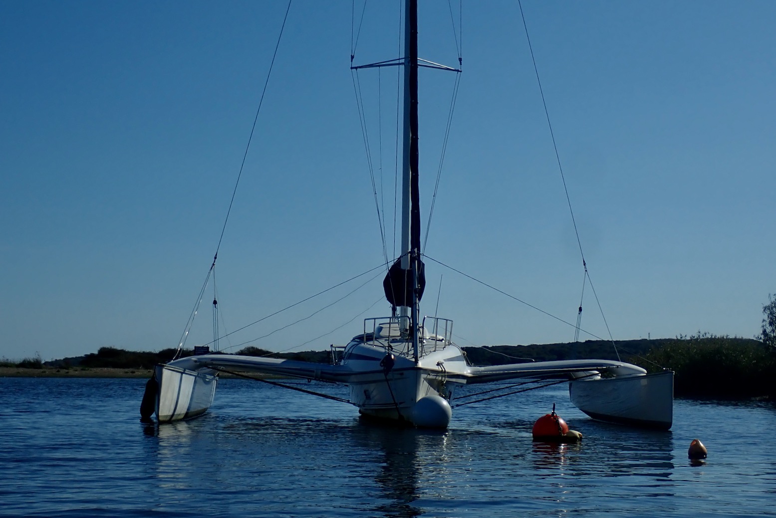
a mate and I spent a few days on Loch Awe, the longest freshwater loch in Scotland, just inland from Oban on the west coast. We had our e-bikes with us and as the loch’s just a kilometre or two wide, I paddled over one windy day to locate a good spot to land with our bikes on the far shore, then sailed back to the beach below our cottage in no time.
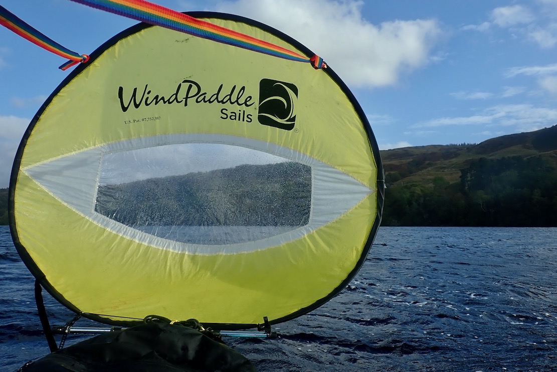
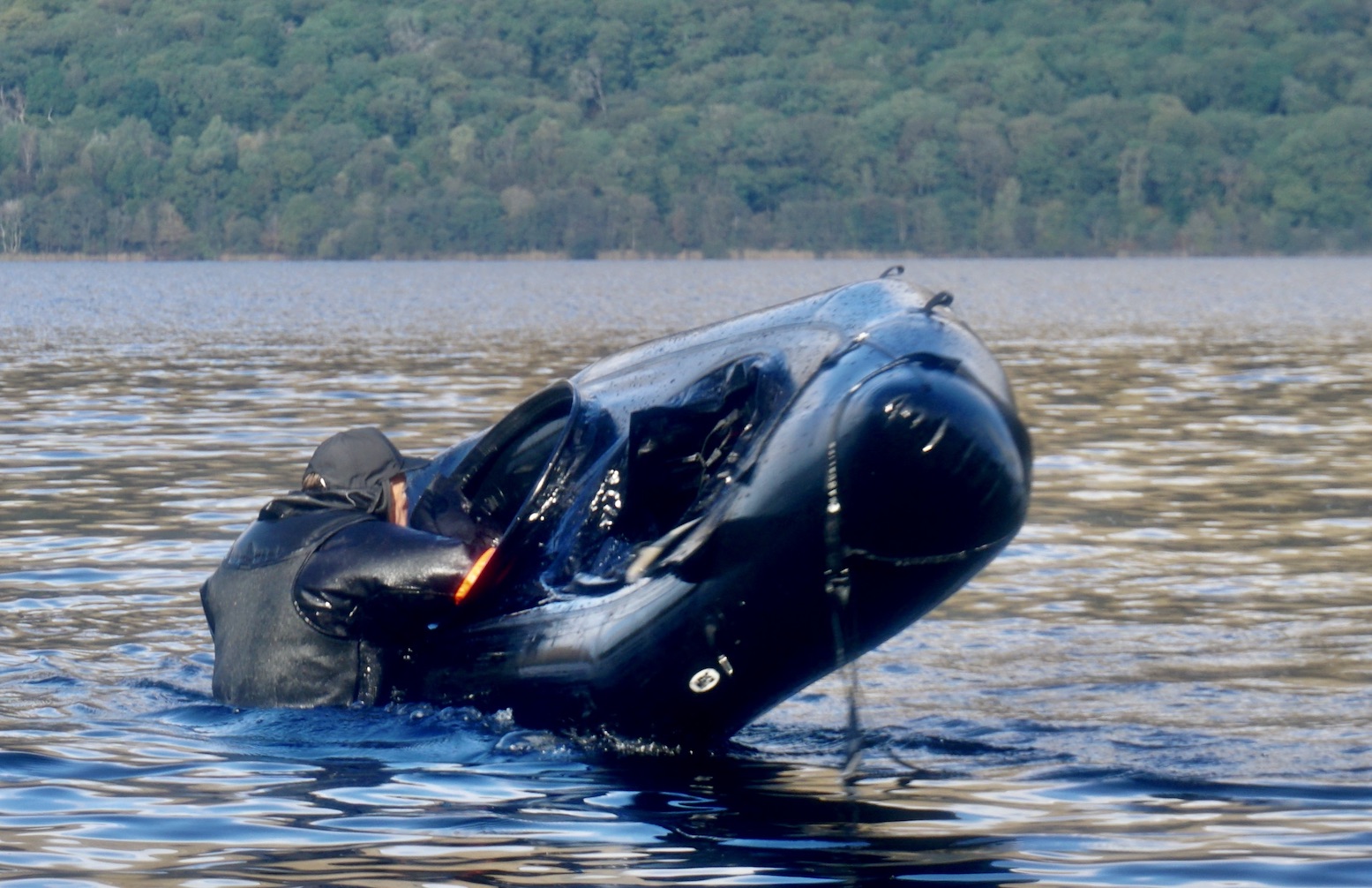
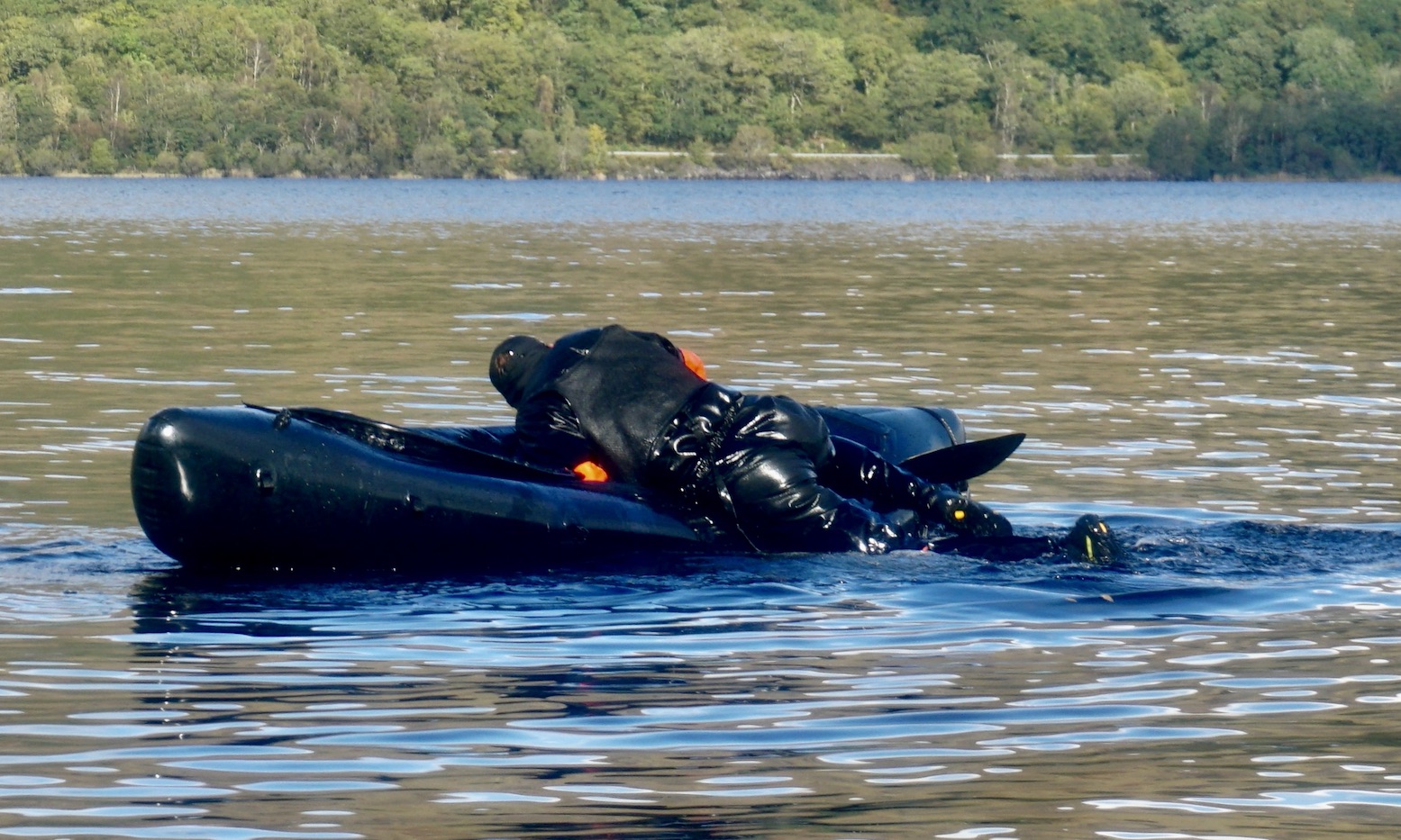
At one point the WindPaddle flipped and got dragged under the TXL’s bow. I’ve previously envisaged the undesirability of such a scenario, thinking the sudden drag might destabilise the packraft, but nothing like that happened. Instead, it was impossible to haul the sail back up on the downwind side, as if it was a bag full of water. Dragging it under the bow to the upwind side made this easier, though it’s odd how the disc became so heavy in the water. Anyway, now I know running over your sail is a recoverable drama.
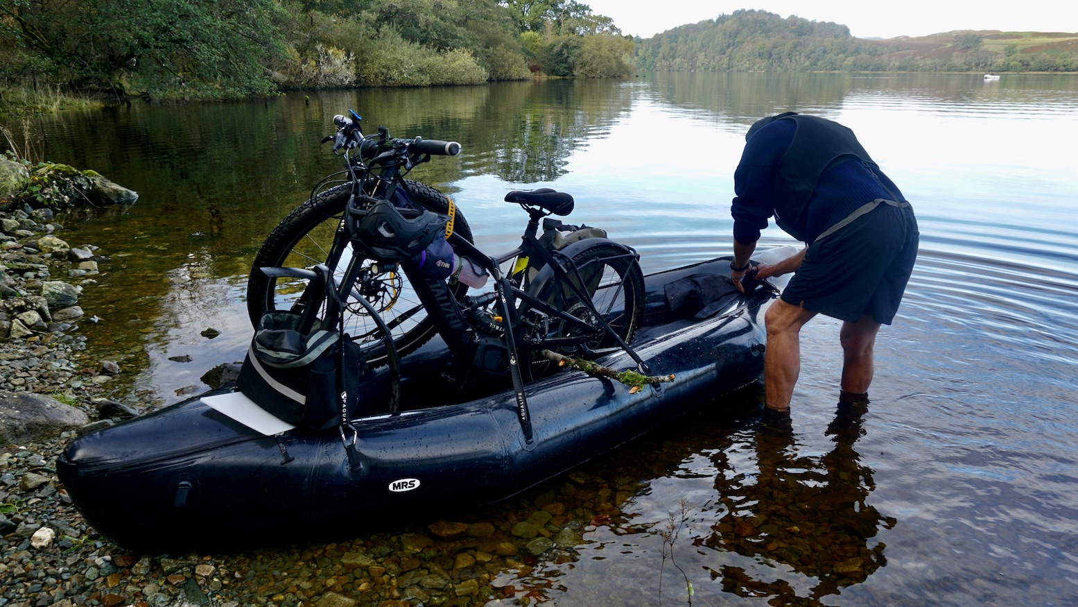
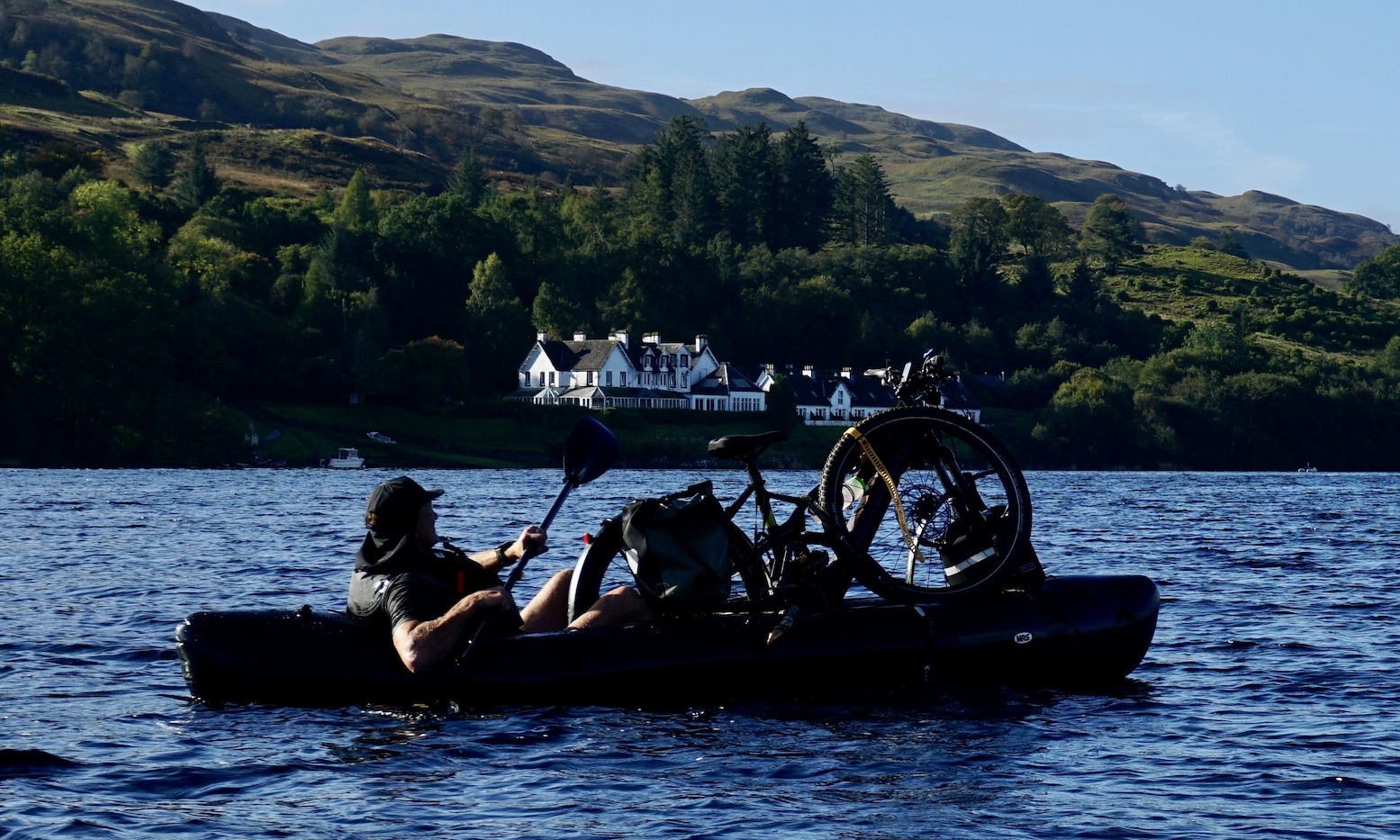
Next day was clear and calm. My e-bike is heavy and the vulnerable electrics are not so suited to laying across the TXL’s bow, even in freshwater. As my mate Phil had a very long MRS Barracuda, we decided it could stand upright in his boat, while I dropped his folding Brompton behind my seat.
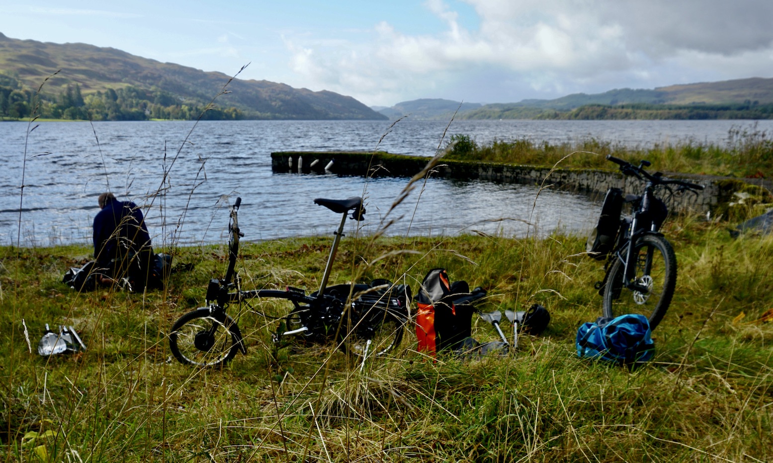
On the far side we rolled the boats up, assembled out bikes and set off for our lochside road. You can read more about that here.
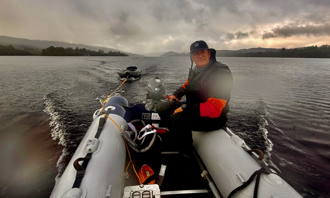
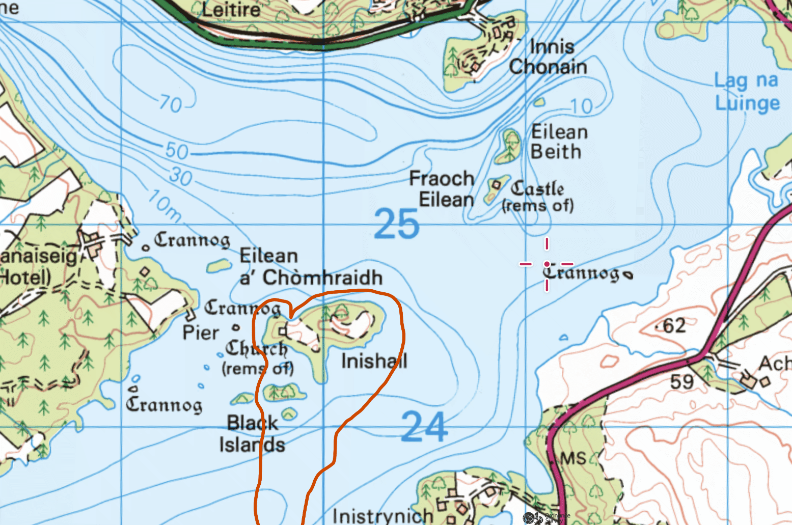
Next day the freak calm spell was over so we cheated a bit and motored Phil’s 2.5hp dinghy 5km to the interesting looking islands at the loch’s north end and towed the Barracuda along for the ride. according to the map (above) the biggest island, Inishail, had the ruins of an old church.
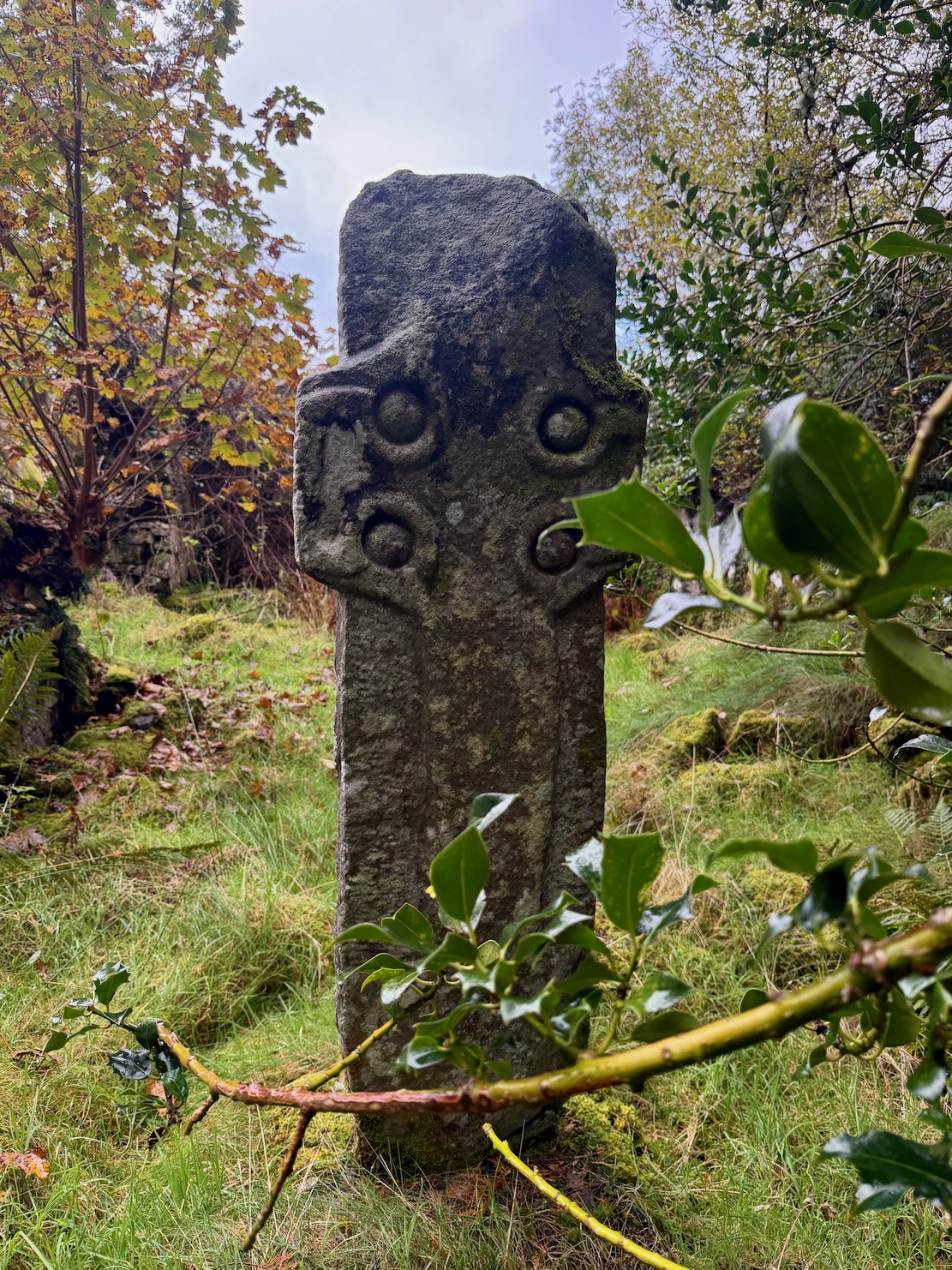
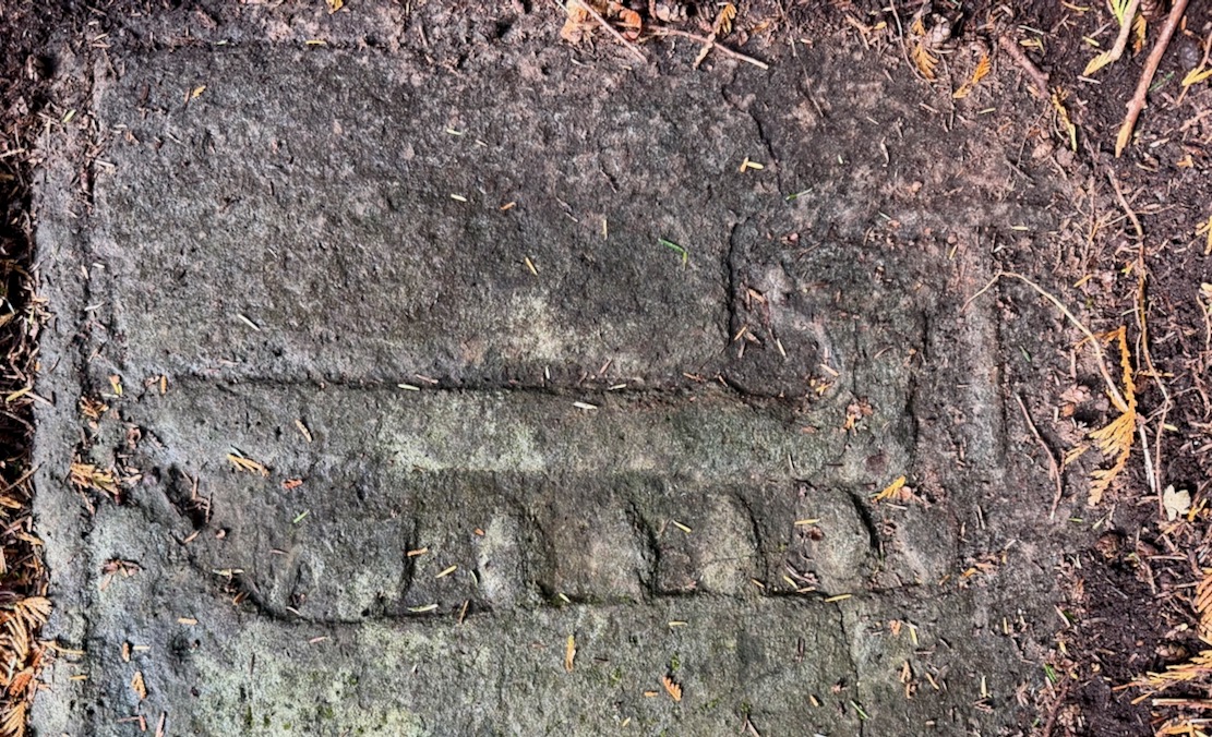
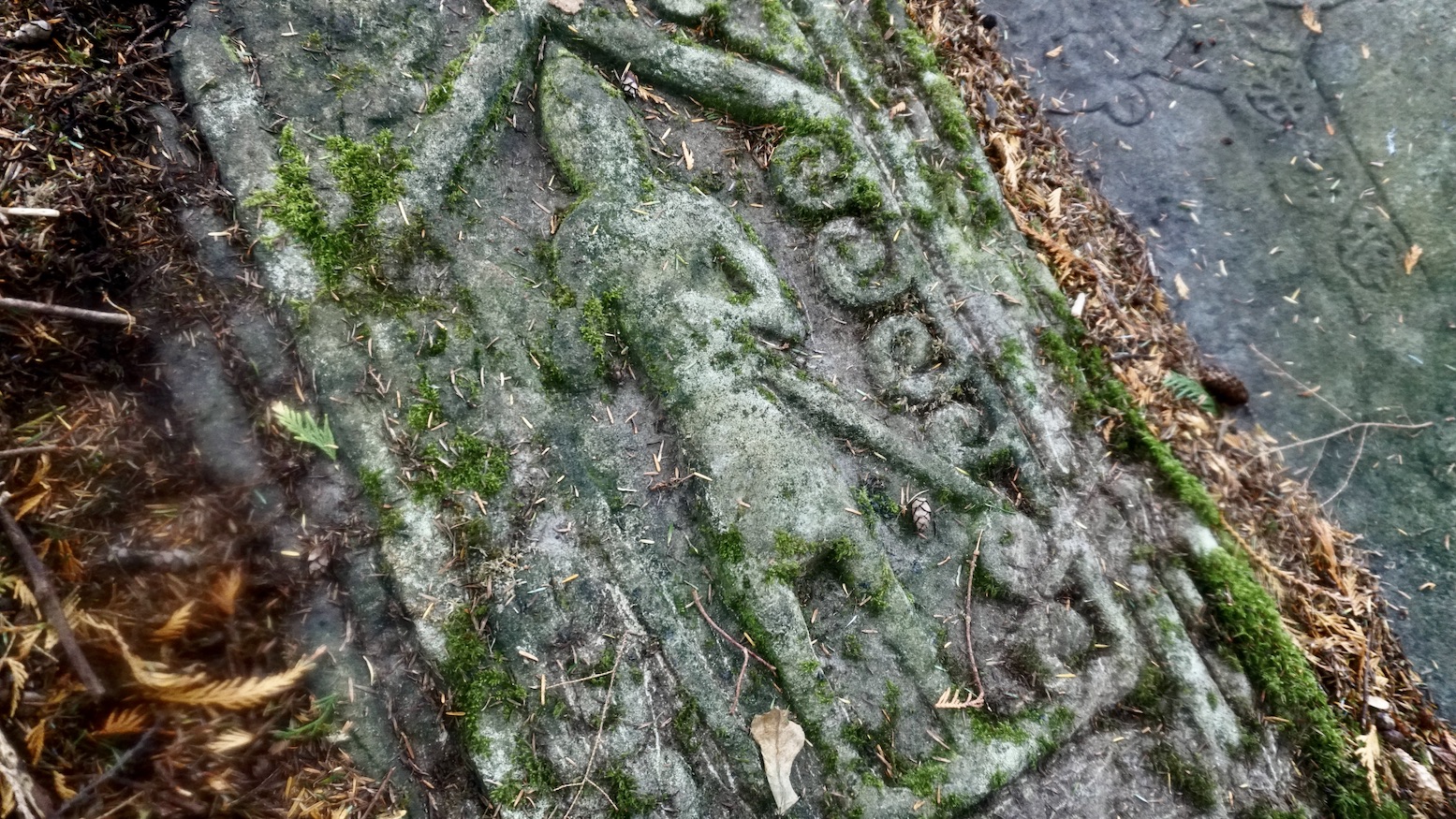
It had a lot more than that (see map, left). Mooring on the north side of Inishail, we soon came across a the ruins amid a burial ground with tombs spanning several centuries, set among huge firs. The church itself is actually known as the Chapel of St Fyndoca, and had one wall badly rebuilt wall and a crude Celtic cross mounted incongruously in the nave (below left).
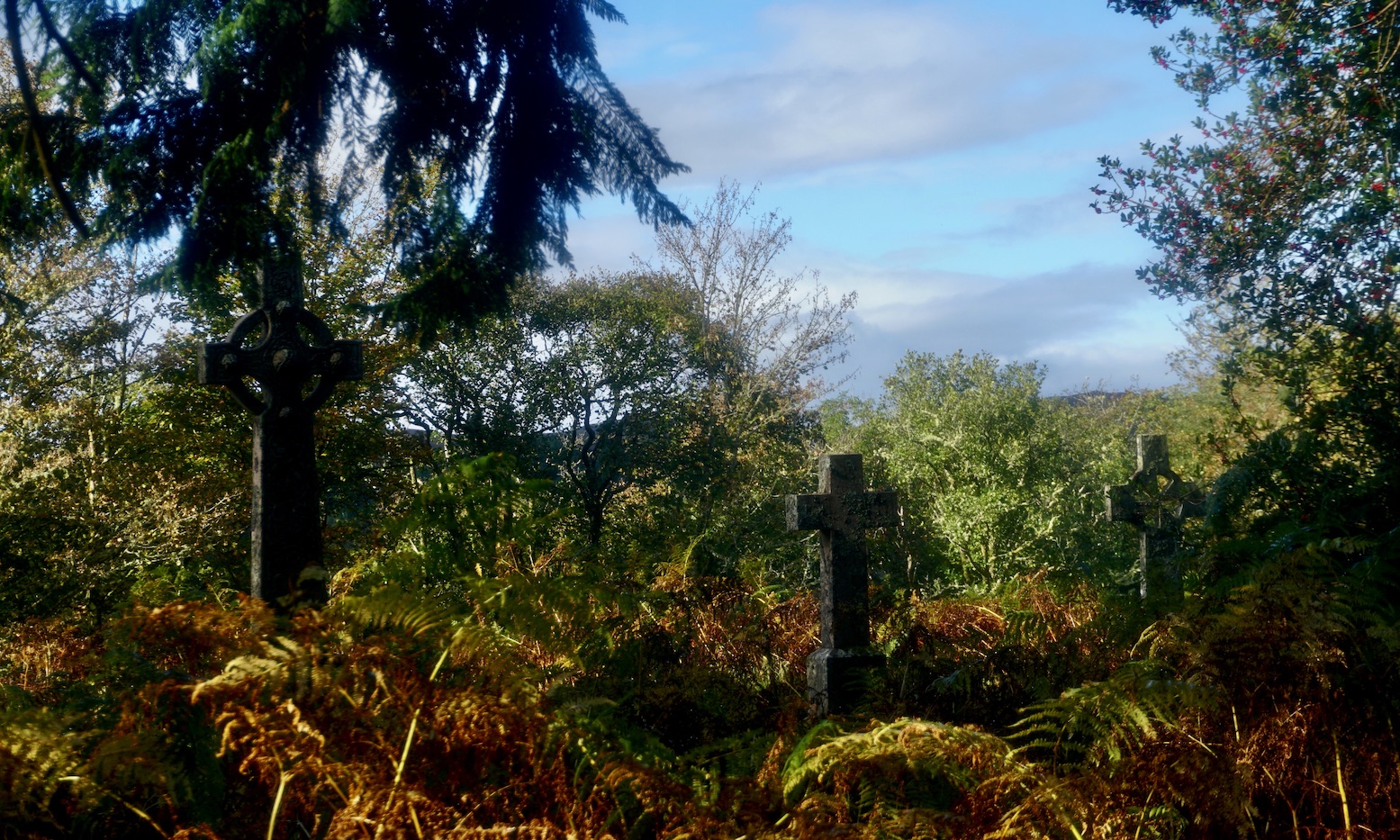
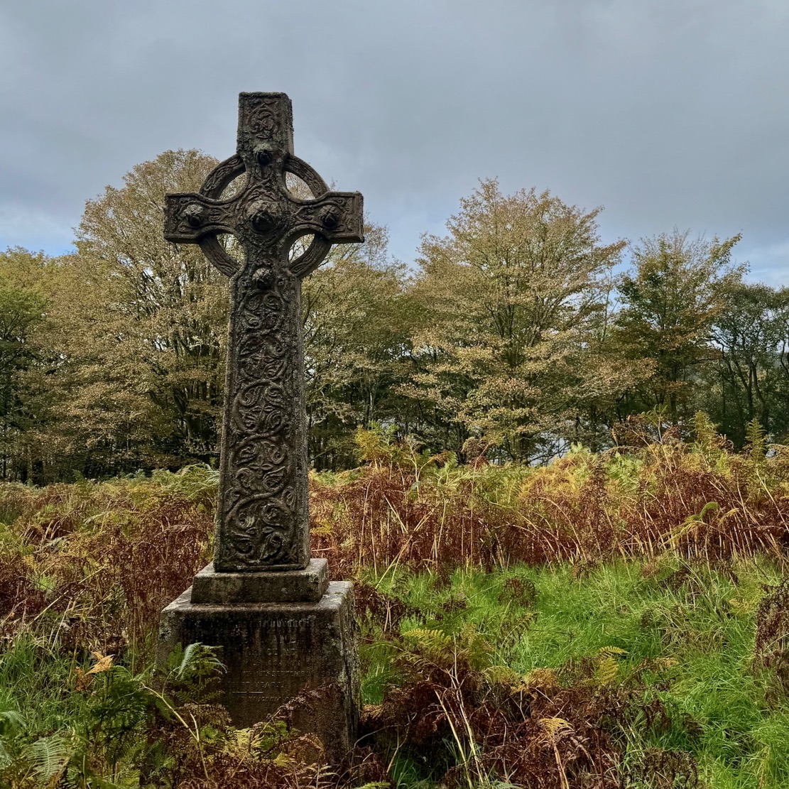
Some of the heraldic slab tombs or Celtic crosses had the ancient look, others genuinely dated from the 1400s, with embossed effigies to knights, a galley or the crucifixion. Heraldic slab tombs are commonly found in the Western Isles.
In olden days everyone up here got around by water, so an island was no less inconvenient to access, while also being a safe place to live. Furthermore, burial grounds dodged exhumation by ravenous Highland wolves. It’s said Inishail has been occupied by nuns since the 12th century and the church only fell into disuse in the 1700s. Holy inshore islands like Iona on the far side of Mull, Lindisfarne and St Micheal’s Mount are not so unusual in Britain and probably elsewhere.
After that Phil decided he ought to try deep water re-entry into his Barracuda. I did this myself years ago with my first Alpacka. Unfortunately he left one drysuit zip undo so the usual side paddle-lunge took a few goes and a lot more effort with feert full of water. Lacking a paddle float – dead handy for narrow IKs (see link) – he instead tried using my Multimat as a leg lever to get back in which did the trick. On the way back in the rain we rested the MRS across the bow of the dinghy which made the boat a lot faster.
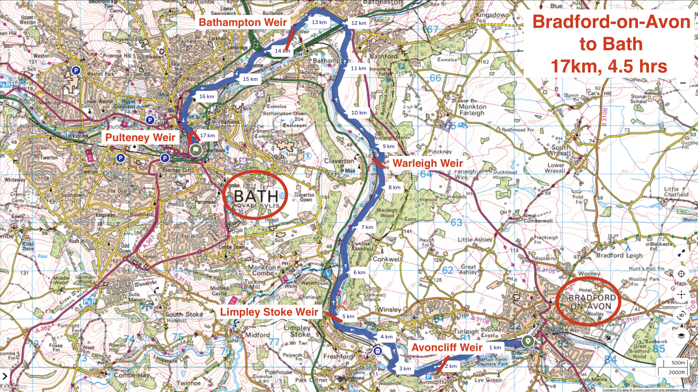
Returning home from a week’s e-biking in Wales took me right past Bradford-on-Avon (BoA), a good chance to paddle the River Avon again, but this time the full 17km to Bath via five weirs. Last year I did the shorter loop from BoA, returning via the Kennet canal which runs alongside- and even crosses the river via a couple of aqueducts. Back then I thought the river was the far more agreeable paddle.
We were midway through the 2026 summer’s fifth heatwave, with up to 35°C forecast in Bradford. I wasn’t sure if paddling was a good idea but hoped the shady Avon would be a few degrees cooler with added splash to hand. I also assumed river levels may be much lower than normal, with water diverted to keep the canals full. In fact the Avon’s level was the same as last year, if not a tad higher. Perhaps the exceptionally wet winter filled the aquifers right up to get through the summer drought. Again, I tried to buy a day pass as mentioned here, but the volunteer at the C&RT canalside gazebo in BoA hadn’t heard of such a thing and advised I just go an enjoy my paddle. Looking later online, I still couldn’t fathom how to buy a C&RT day paddle pass for the Avon.
Shady. Nice
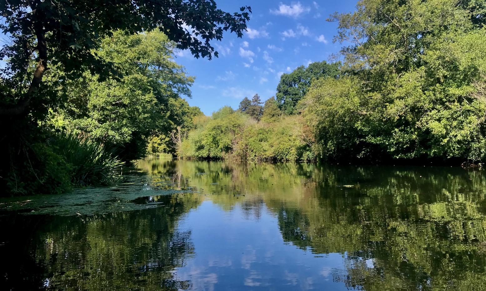
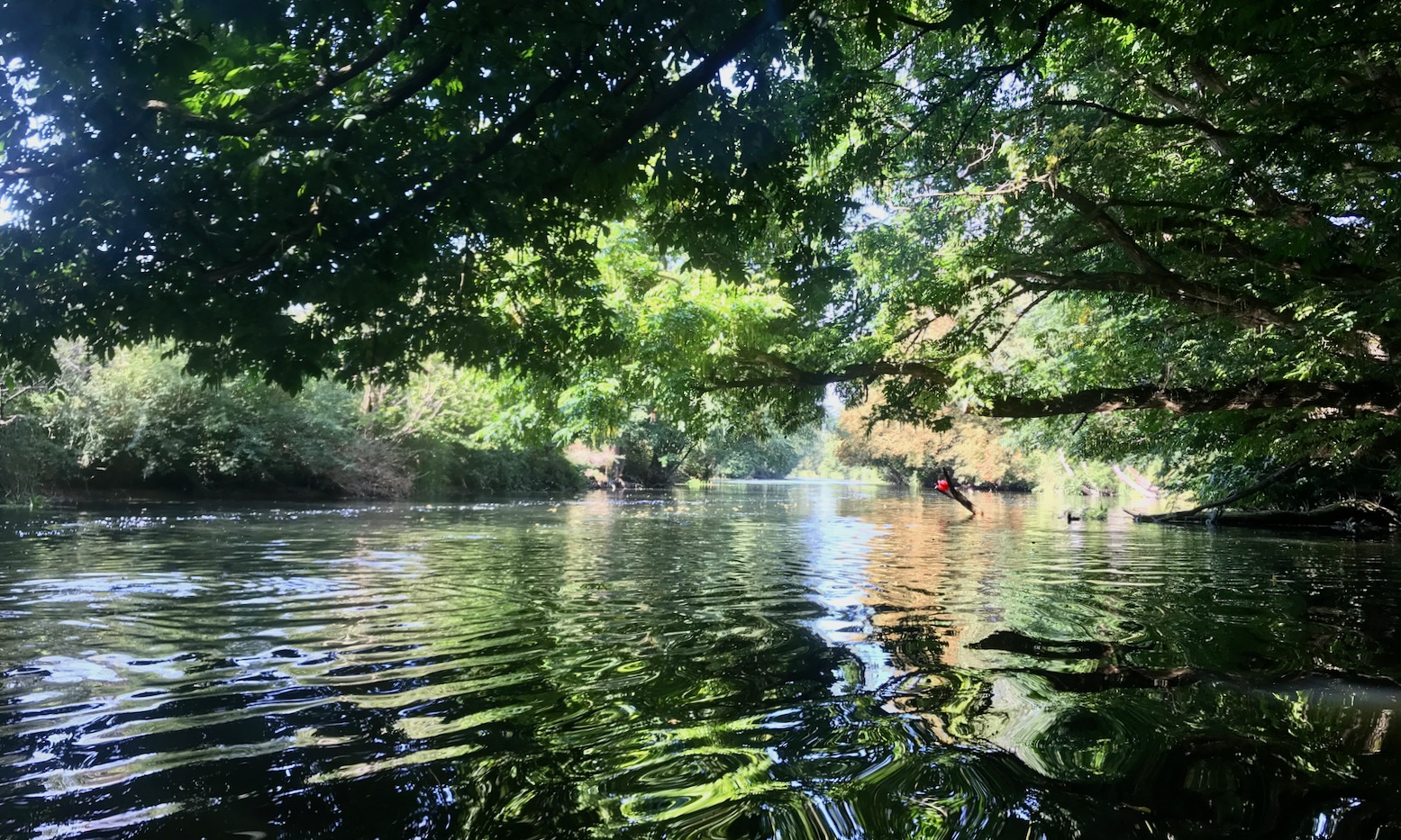
As before, I put in below the 14th-century Barton Bridge. All around seemed much less busy, as if people were staying indoors on very hot days, any activity being too enervating. I’ve known that feeling this summer. Soon I was gliding under mature tree canopies which make this section of the Avon so appealing. No one else was on the water. An odd racket turned out to be the riverside train chugging unusually slowly from Bath towards Bradford. I planned to be on that train in a few hours to see where I’d paddled from.
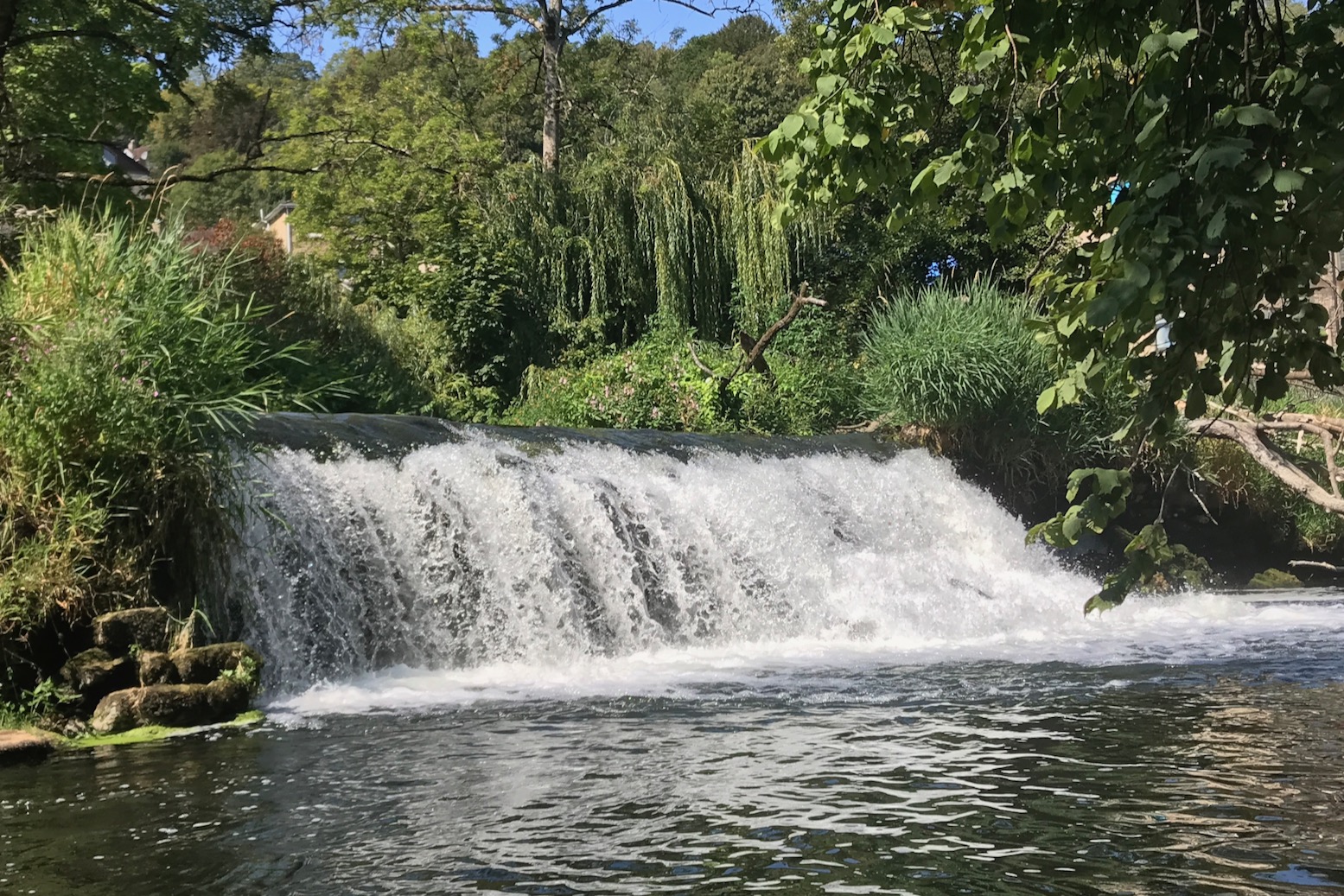
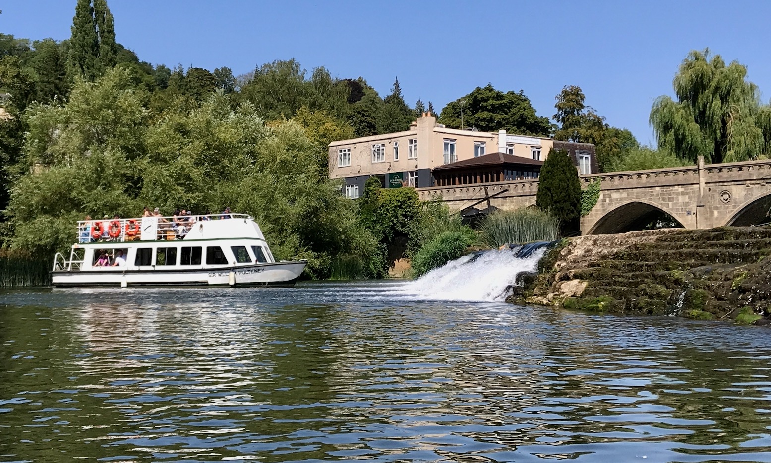
I eased the boat over Avoncliff weir (above left; KM2), the easiest on this stage of the river, then worked my way out through the thick weeds and reeds under the aqueduct. That led to the steeper Limpley Stoke weir at KM5 (above right), where I noticed a nasty rebar rod right below the awkward portage point. Looking at the weir from below, it might be possible to accelerate off the river-right side of the wider, 4-foot drop (above right), but we know how that can end, even without hidden rebar. A plain old steel canoe chute as found on the Tarn in France (left), would be so easy to install. But chutes, far less paddleboat-friendly portages, are not what you find here, even before you get to the cruise boat reaches nearer Bath where canoe chutes and 6-m wide tourist boats doing U-turns might not be a great combination.
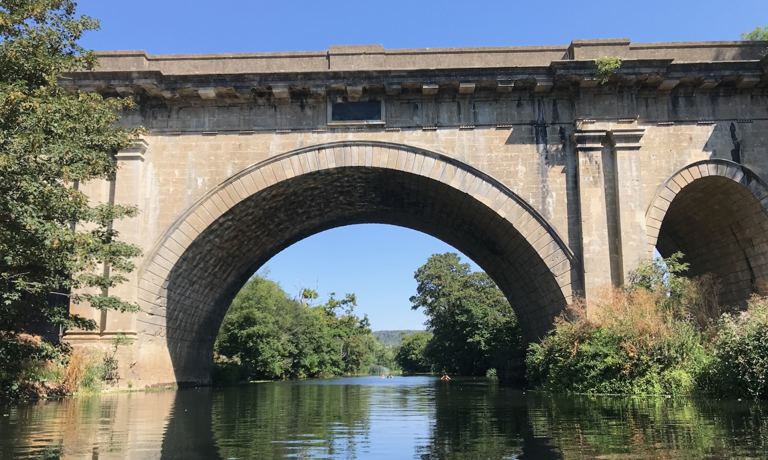
Soon after the Frome confluence the Avon turns north and the wind eased me through reed clumps and under shady banks. A few people were splashing about at the Dundas Aqueduct KM6.5 (below) where last year I climbed up and hopped onto the Kennet canal back to Bradford – a bit of a dogwater slog.
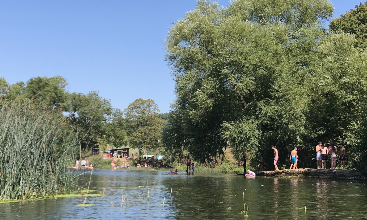
I checked the map on the tablet. Up ahead at KM8.5 was Warleigh weir (below), a popular bathing – sorry, ‘wild swimming’ spot which I heard before I saw. With temps in the mid-30s, this was a good place to pass the day. I should have tried to verify exactly where the best spot was to portage here, but looking online later I was none the wiser. Most of the talk was portaging between canal and river. But as long as there’s not a straight waterfall drop, it can be done anywhere, so I paddled slowly among the bathers towards the weir’s end river left, and dragged the TXL down the piled up rubble to the water; no helpful steps here.
Working my way out through more reeds, soon I was back on the deserted Avon. This really is one of the loveliest rivers I’ve paddled in England. Yes, 500-year old weirs interrupt the flow but other than that, it looks natural and feels like it’s not changed in centuries. Perhaps the absence of powered boats combined with awkward paddle portages help keep it that way.
Huge grey herons (above) lifted off like pterodactyls to make a short hop down stream, while cormorants dived under my boat. A couple of times the thick, grey-blue reeds became a bit of a maze and I had to haul myself through boat-wide passages. At one point I found myself squeezing just a paddle’s length from a pair of mute swans leading a troupe of fluffy grey cygnets and got a nasty warning hiss. I wonder what I’d do if attacked, though am pleased to read that swans ‘breaking your arm with a wing’ is a myth. It’s just the beak and clawed feet you’d want to dodge.
Out in the sun is was now baking and my water was running low. I took to dousing with river water and even took a glug. The toxic state of British rivers (above) has become a worry in recent years and must have affected recreational paddling following the Covid boom, but someone recently explained it takes a storm to mobilise nasty effluent run-off, along with opportunistic sewage discharges by the loathed water companies. So with no rain for well over two months, I figured the water was OK to drink. According to a Rivers Trust map, sewage-wise, this part of the Avon gets off quite lightly until you reach Bath. I had a chat with a paddler in an old fibreglass kayak enjoying his retirement with a drift back downstream. I asked him about shooting the apex of Bath’s Pulteney weir which was my plan, but he explained getting out and pulling the boat over was the normal way to do it. Later, I passed a group of ‘boarders glided by upstream, led by a kneeling woman using a kayak paddle. ‘That’s the way to do it; kayak paddle. Much easier.’ [if not standing] I could not help blurting out in a fit of unsolicited mansplaining. ‘Yep’ she said. And to underline that point, another seated woman at the back of the group was struggling left to right with an overlong SUP paddle. It’s agonising to watch. The Avon turns southwest near Bathampton, losing the shady banks and at times putting me into the hot wind. I was flagging, very thirsty and by now counting the bridges. The water dousing effect wasn’t really lasting.
I’d also forgotten about Bathampton weir (KM13.5; above; below) near a road bridge, but heard the familiar rush of turbid water. I struggled with the boat down water-worn steps caked in dried weed, watched by a cruise boat doing a u-ey.
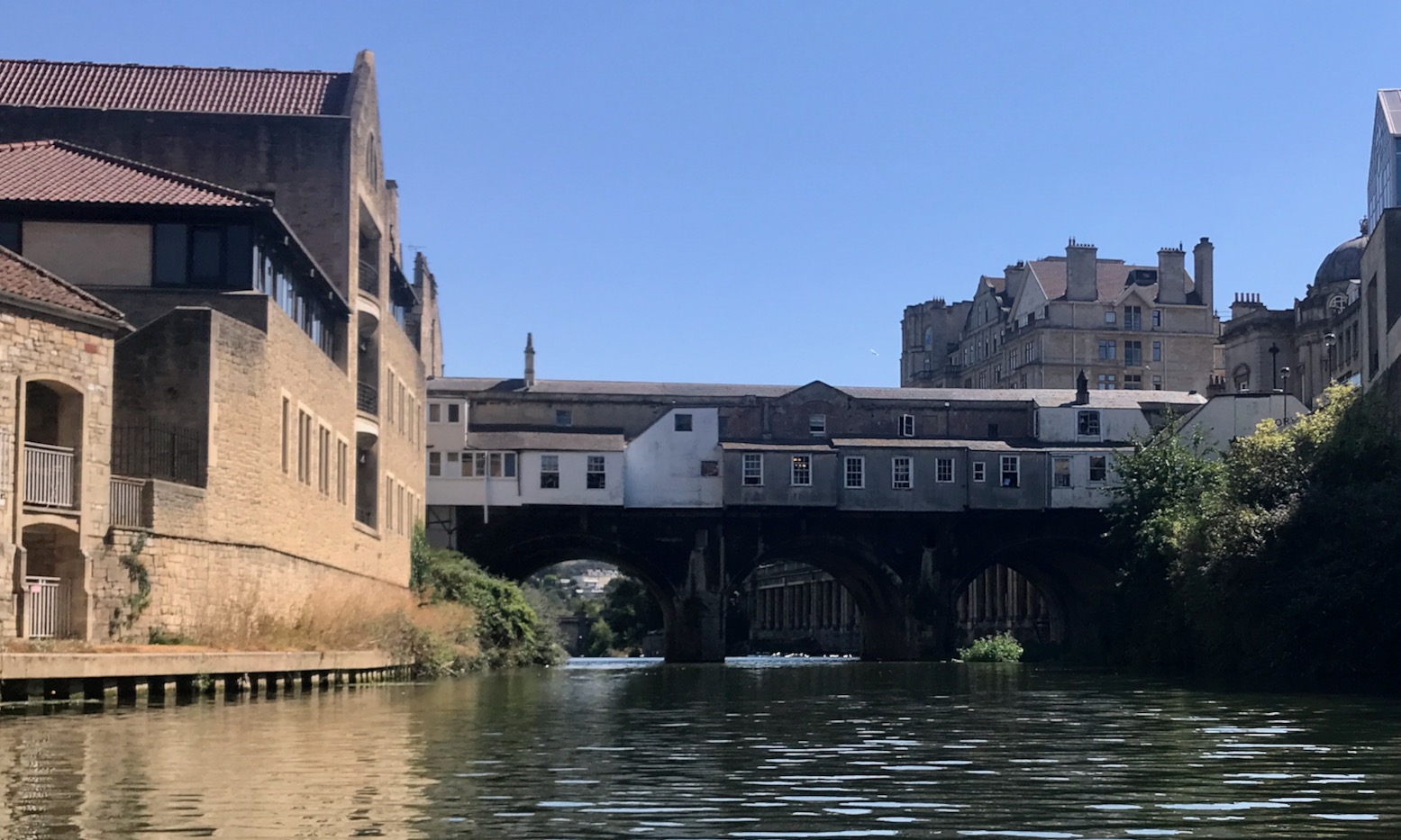
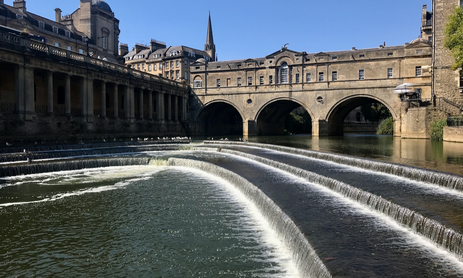
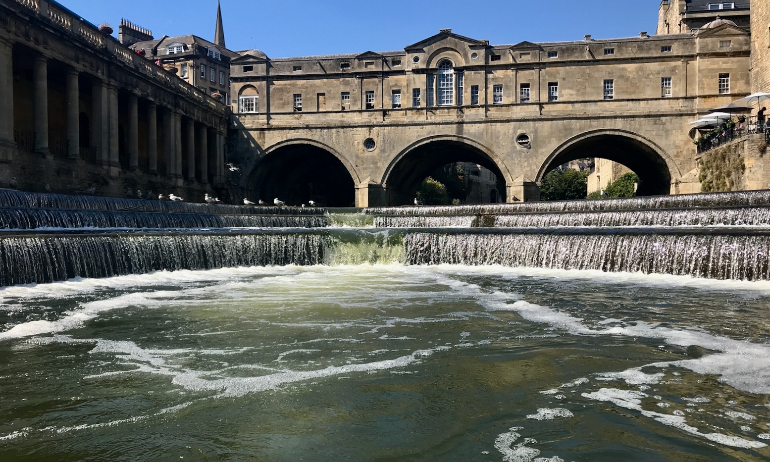
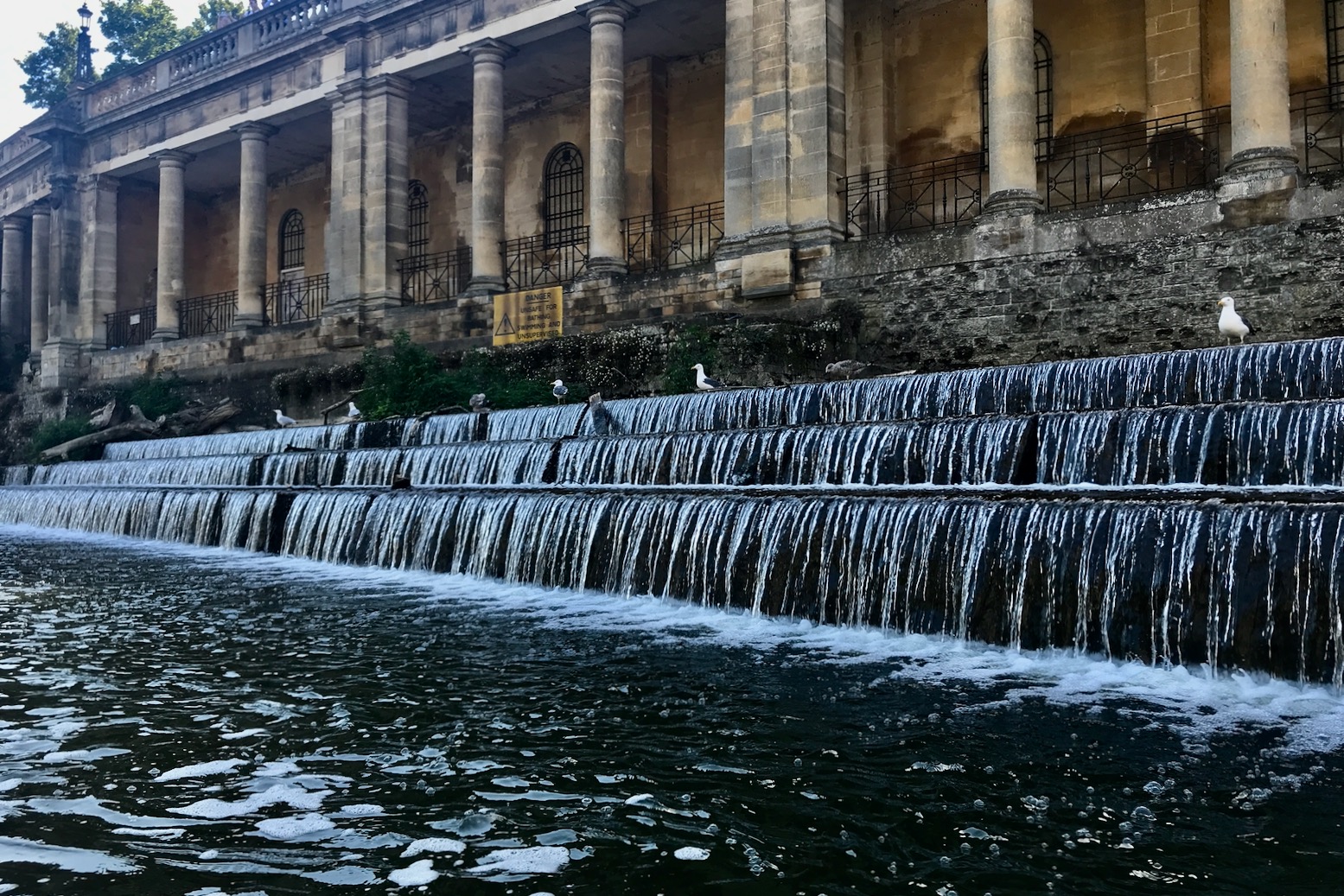
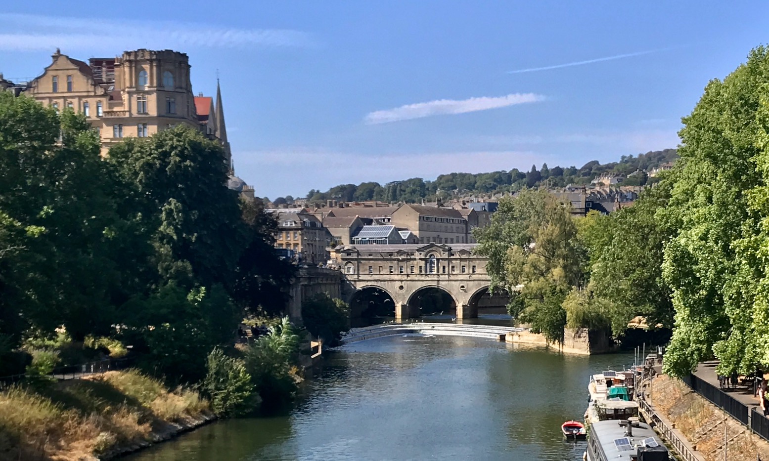
Now on the outskirts of Bath, three more bridges brought me to Robert Adam’s 250-year-old Pulteney bridge (left, below) just before Bath’s superb, award-winning neo-classically set Pulteney Weir (below). Up to this point, with the dense, tree-lined banks, you’d never guess you were in the middle of a city. The original Pulteney Weir was once the usual diagonal arrangement, like the medieval weirs upstream, but with the installation of much needed city flood barriers in 1971 and no need to power a mill anymore, it was rebuilt as a curved parabola.
Form follows function: the radically increased length of the weir edges (along with a sluice gate) modulates the flow much better. Check out a great series of historic photos here.
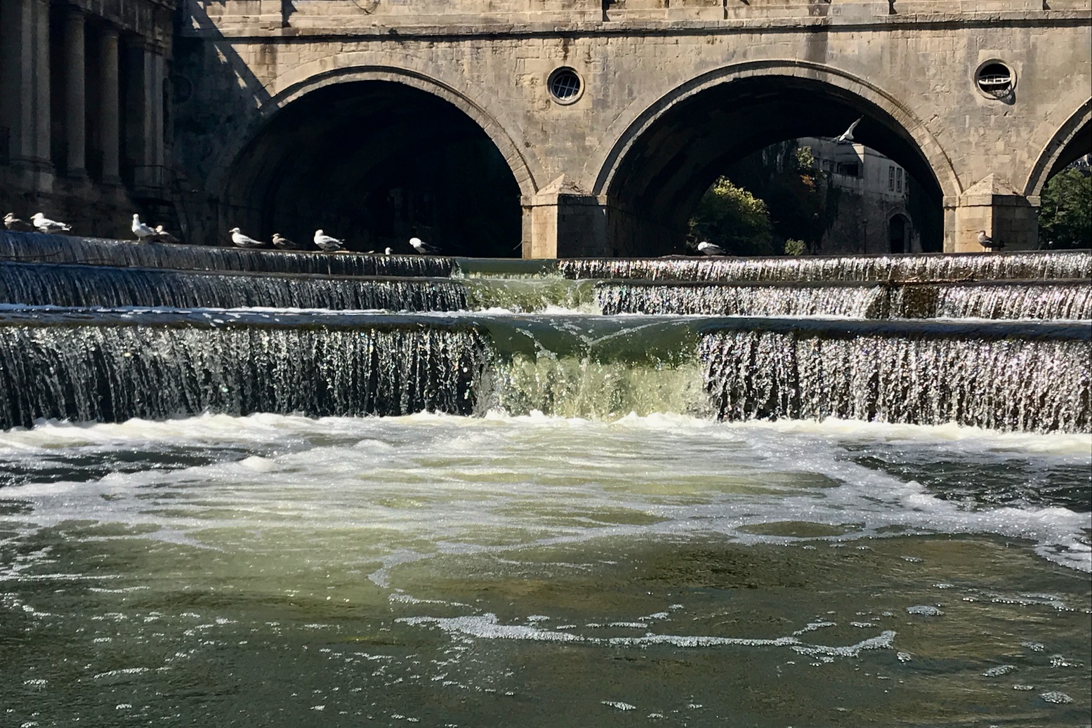
In normal-flows like above, a seemingly kayak-friendly notch is evident at the apex but should not be mistaken for an actual canoe chute. As you can see in the vid below, with someone downstream to help line you up, the notch looks easy enough, even in a canoe or a long sea kayak, but in higher flows even tourist boats edging up from below have been known to capsize when sucked in by eddies.
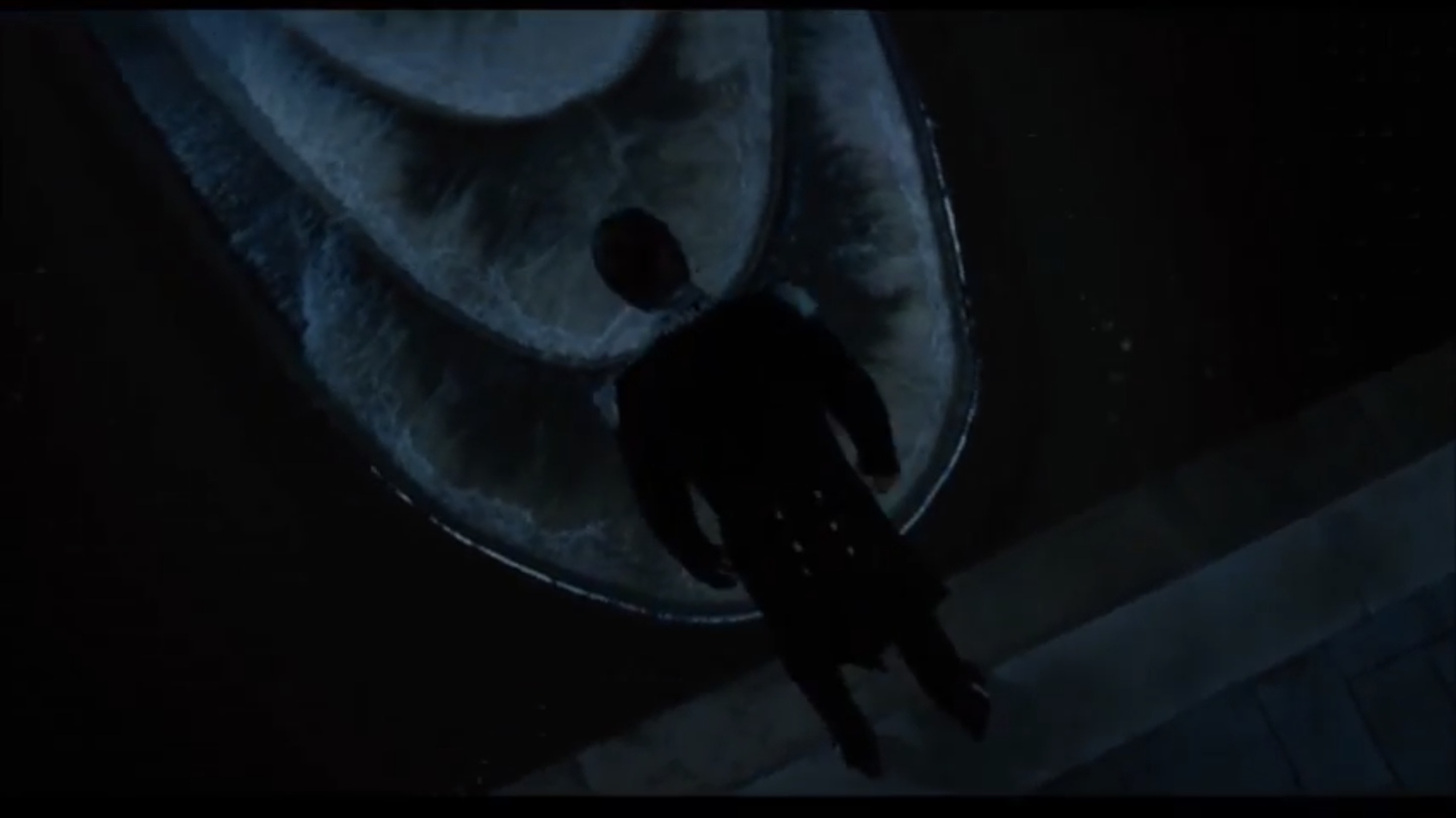
In 2012 the weir even stood in for the Seine as a film location for the Russell Crowe character’s suicide in Les Miserables.
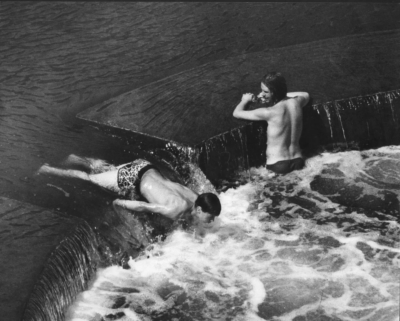
1980s. Hold my Tizer!
Arriving at the weir I was expecting hyperactive teenagers goofing about, as upriver or in days of old (left). But only silent waterfowl lined the weir’s terraced edges like sentries, waiting to nab a passing fish. I paddled round to the roller ramp river left for a better look and decided lining up for the unseen apex might be risky, or just embarrassing to fluff given it’s prominent location. Once below, I let the eddies suck me in towards the apex before getting flushed back out and carrying on downstream.
Just before the rail bridge after nearby St John’s church an easy take-out ramp appeared river left. On Google there’s also a floating jetty another 300m downstream, right before Halfpenny footbridge leading directly into the station. At the ramp a guy was sat against the wall, working his way through a slab of Holsten, explaining he was summoning up the nerve to take a swim. But he was already pretty far gone so I hoped he’d just stay where we was.
I was well overdue for a drink too, but in Bath you’re never more than a stone’s throw from an overpriced juice bar. I passed one on the walk to Bath Spa station for the short ride back to Bradford, closely tracing the Avon I’d just paddled. That would have been a great end to this trip but that slow train I’d seen earlier was indeed a bad sign; buckling overheated rails had already caused derailments elsewhere in the UK, and train services out of Bath were delayed or cancelled. So I piled onto a crowded bus which barely passed the river, bought another two litres of fruit smoothy in Bradford and settled in for the hot drive home. Don’t be too put off by the Avon’s awkward weir portages; on a fine day this really is one of the best river paddles in the south and makes you wonder what the rest of the Avon could be like, up- or downstream.
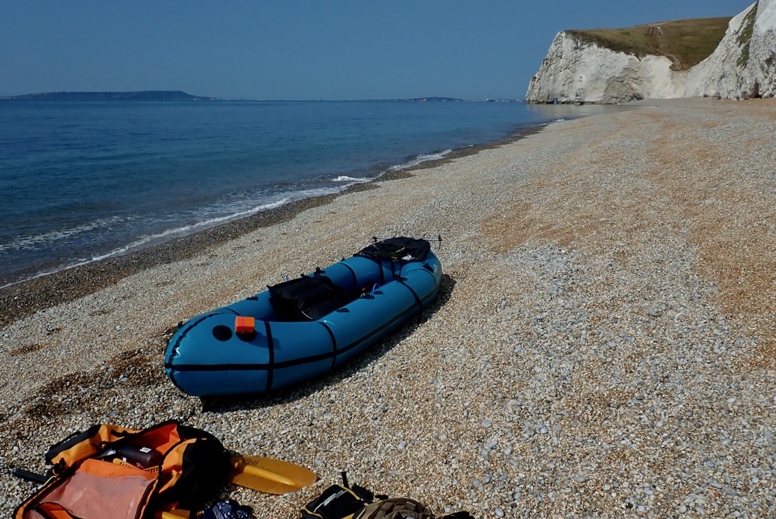
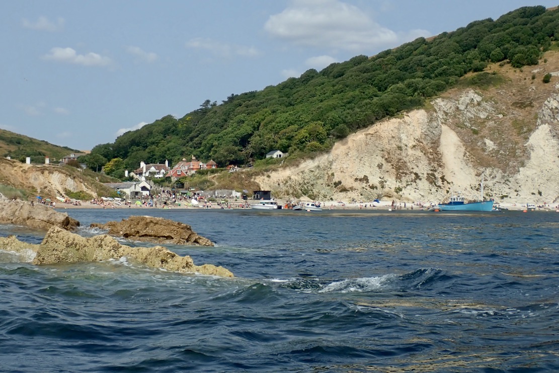
The last time we paddled this part of the Jurassic Coast (video above; more here) we were zipping along under sail or navigating in choppy waters and I didn’t get a chance to have a good look around. Now the latest heatwave and strong winds has subsided, today I wanted to take a slow ride along this world famous section of coast riddled with geological marvels.
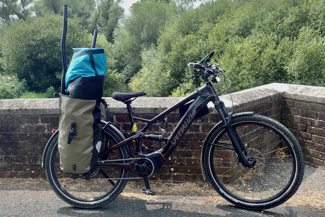
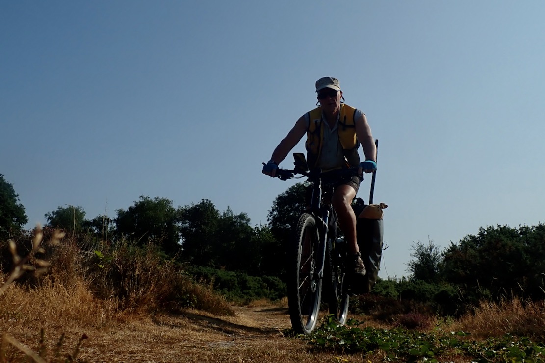
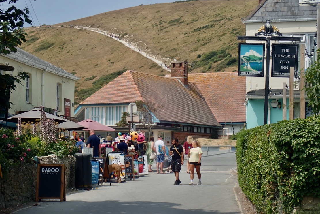
The Lulworth Estate owns this spectacular stretch of coastline and makes several million a year off what must be the most expensive car parking in Dorset. And while you can get here on a bus, I’ve got a new way of getting around for packraft day trips: an e-MTB which can tackle bridleways and traffic-free backroads with the boat shoved in the panniers.
PackhaulingTraffic-free byways
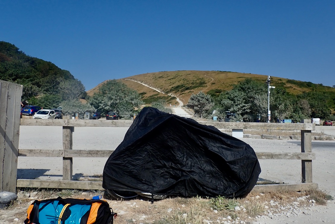
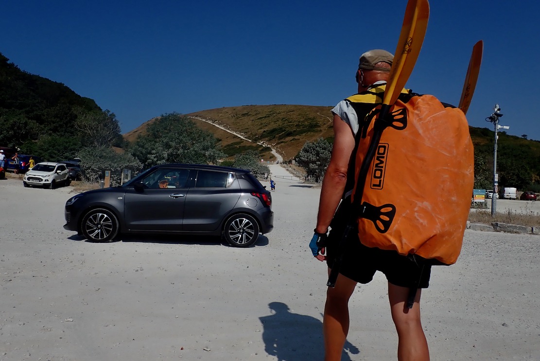
My e-bike weighs 28 kilos – double a normal MTB – and, along with the delicate electronics which have already played up in the rain, is not a good candidate for seawater bikerafting. That proved hard enough the other week with my folding bike at less than half the weight of the e-bike. So at Lulworth Cove I locked the bike to a fence and covered it, hoping I’d not get clamped, then set off for the long haul up and over Hambury Tout to Durdle Door beach.
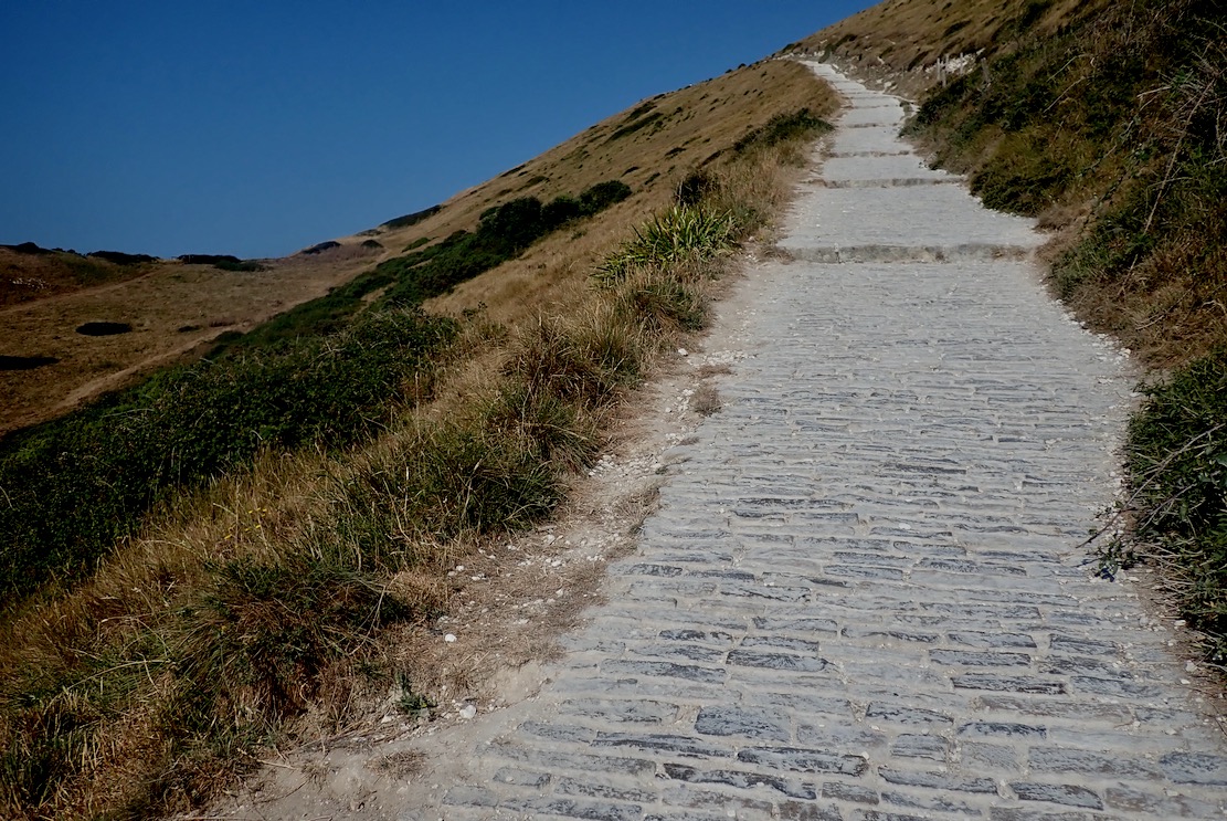
Thankfully some of the parking millions has been spent on a cobbled path making the climb as easy as you can expect. But in one go it’s still like 20 minutes on a cross trainer.
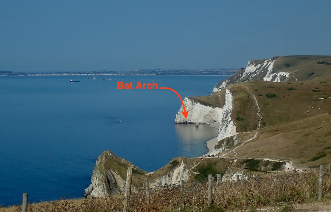
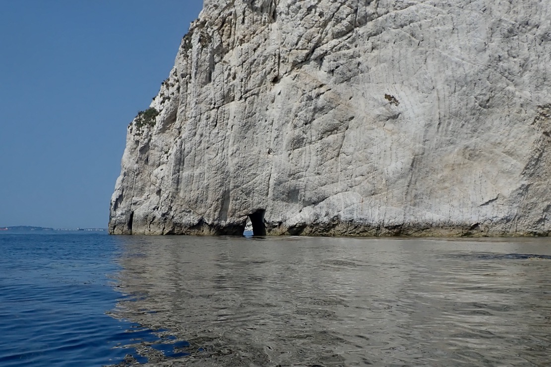
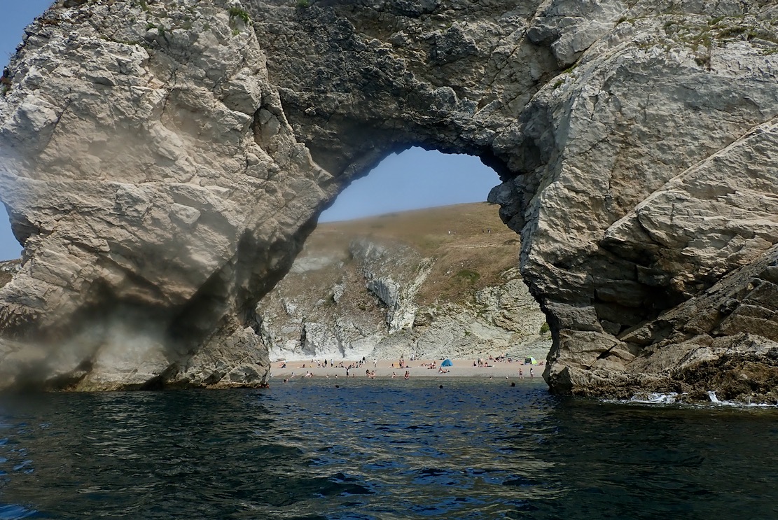
My plan was to trek to the far end of Durdle’s gravel beach, paddle through Bat’s Hole arch, then come back via Durdle Door and Stair Hole to Lulworth Cove. All up only about 4km. A neap tide was coming in and winds were a cooling 5mph from the east, turning onshore at noon.
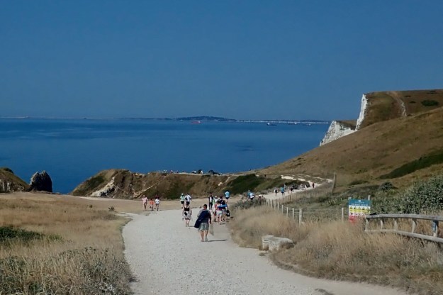
Crowds thicken as you near Durdle Door and you’ll easily hear half a dozen foreign languages as pilgrims the world over come to view the limestone marvel.
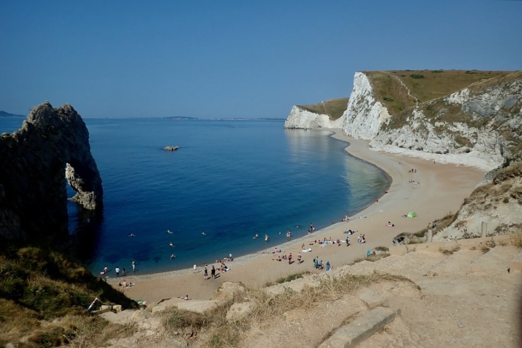
And you can see why. From the top it all looks amazing, though not always after a busy day. I’m pleased to see the sea is glassy smooth.
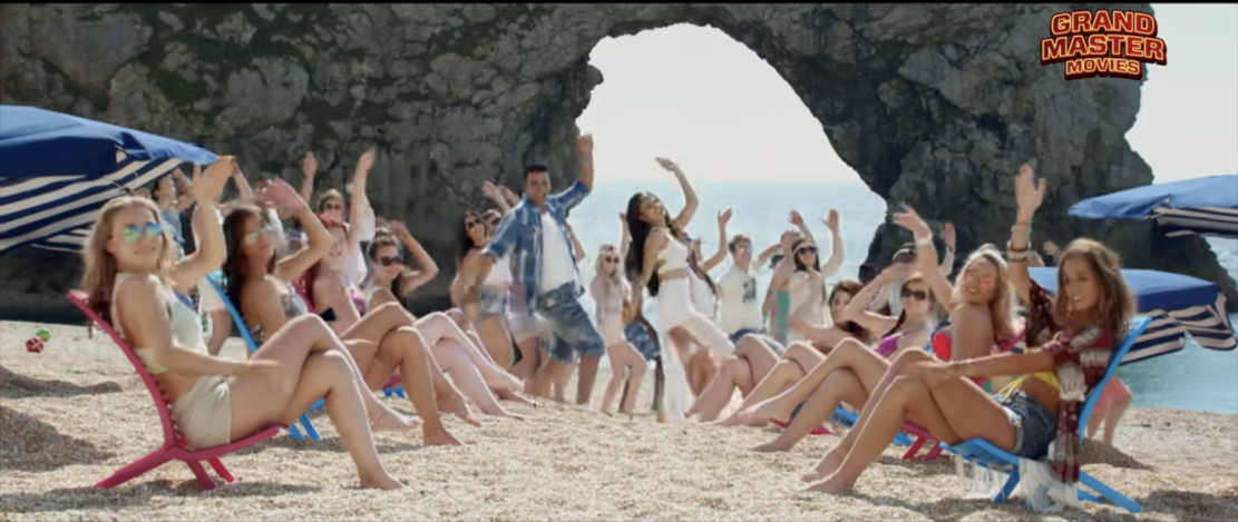
At times Durdle Door must be the most culturally diverse location in all of Dorset, and is especially popular with people of an Indian heritage after a Bollywood comedy called Housefull 3, was shot here.
I trudge on and pass a woman inflating her SUP. Perfect day for it.
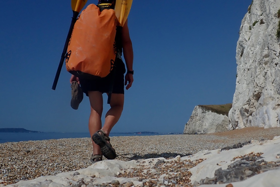
While the fine gravel gets jammed in my Omniums, at least there won’t be the nuisance of sand to wash off.
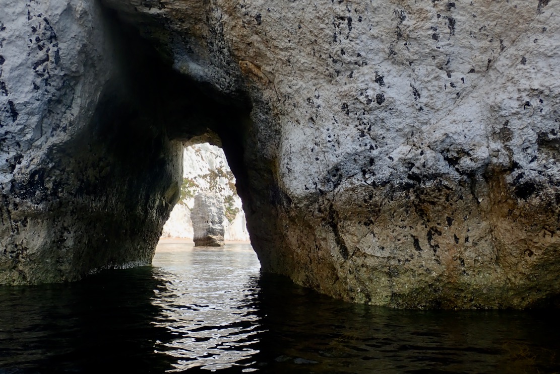
Approaching Bat’s Hole. By the time Durdle Door collapses into the sea and becomes a stack, Bat’s Hole will have grown enough to become the replacement, producing a seamless transition in parking fees. The TXL zips along but oddly, I’m wobbling about on the seat like it’s over inflated, which it’s not. Unusually, I’d put it in with the baffles longways and wonder if that’s the cause. I turn the seat 90° with the baffles now across the boat. The wobbling stops. Paddle board woman catches up but, despite the perfect conditions, I’m disappointed to see her kneeling, grappling with the over-long SUP stick. In the dozens of paddle boarders I pass today, only a couple stand up. Honestly, I wish someone would tell the kneelers and sit-downers they’d manage so much better with a kayak paddle, like this chappy, or even one of these. Full disclosure: like gravel bikes, I don’t get paddle boarding, which merely goes to show how stratospherically out of touch I am with the popular zeitgeist.
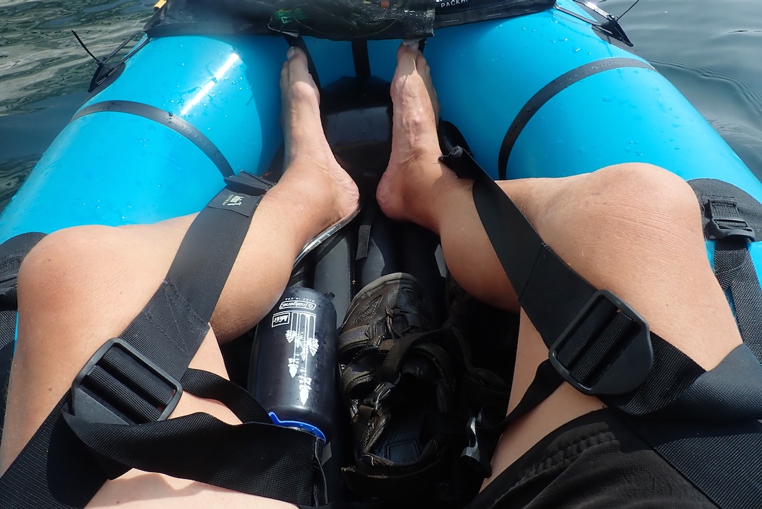
I hop out behind Bat Hole and top up the TXL. These big volume packrafts often need a second top up 10 minutes in (it can be done on the water). My bodged balloon pump finally breaks (the better 2-part Mk2 version waits at home). I also install the inflatable footrest like I should have before setting off, then go all out and deploy the thigh straps too. That done, I’m reminded how connected and comfortable you feel in the TXL with all these things in place. It’s like standing on a paddle board!
A light breeze is blowing through the arch from the west, the opposite of the forecast. Oh well, it’s light enough not to matter and will blow with the tide for the ride back. On the far side of the arch an unseen air pocket is huffing and puffing and snorting with the swell.
Careful to dodge swimmers and unseen tombstoners (gruesome vid), I pass through Durdle Door and again leave the throng for now. I used to love tombstoning; the thrill of jumping into thin air and landing harmlessly, feet pointed and nose pinched. But falling 200 feet from the top of the Door would be very painful. I continue through St Oswald’s Bay / Man o War and as predicted, around noon the wind pivots to onshore and ruffles the surface. I pass a bloke standing on his SUP with his Mrs laid out on her elbows between his feet, like a forward gunner. ‘That’s how to do it my man, with your reposing young lady providing added stability by virtue of a lowered centre of gravity!‘ I should have exclaimed.
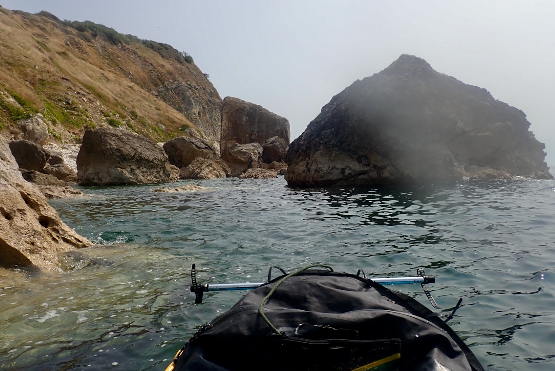
I weave in and out of the rocky maze around Dungy Head, where it’s said late Neolithic farmers once span dried cowpats off the cliff as votive offerings. The practise survives today in Kentucky.
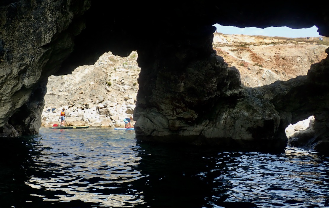
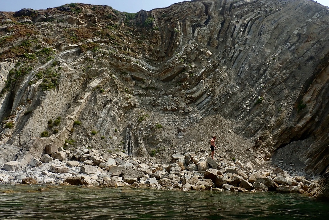
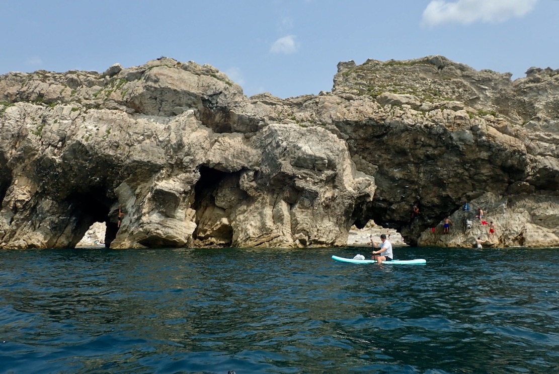
I reach Stair Hole, an intriguing network or arches and caves, packed with young revellers. You can enter a mini cove, but need to go out again then enter one arch to exit the other, again on the watch out for tombstoning lads and furtive snorkelfolk.
The Lulworth Crumple they call, this. Reminds me of Morocco’s Anti Atlas ranges where such formations are common.
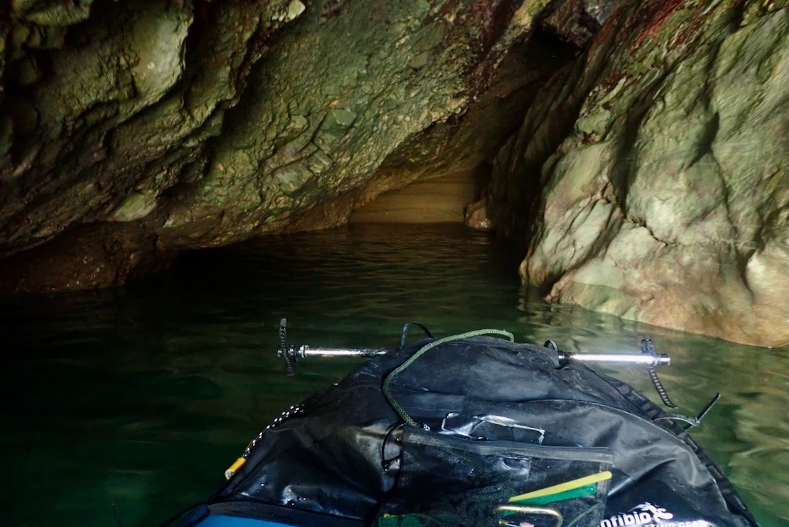
I probe a sea cave with a sandy beach at the end, and am reminded on Moonfleet, just a few miles away
The sea view of Stair Hole. Note the boarder paddling with dangling legs; good for the pecs and CoG, I suppose.
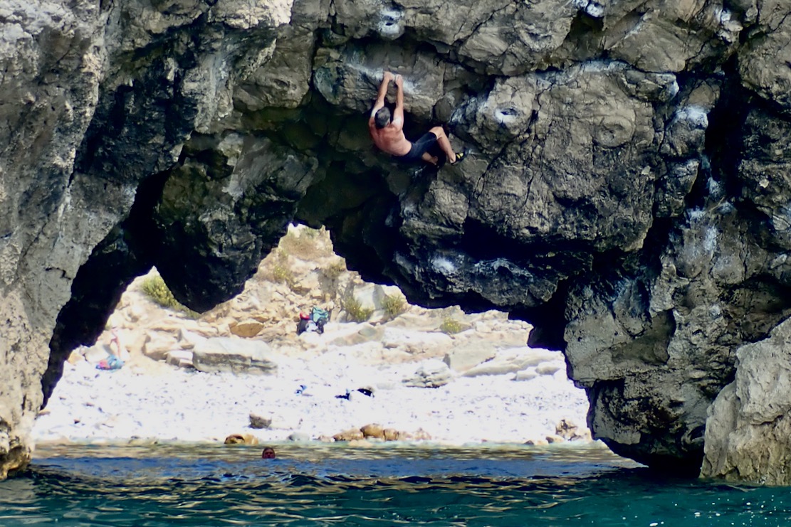
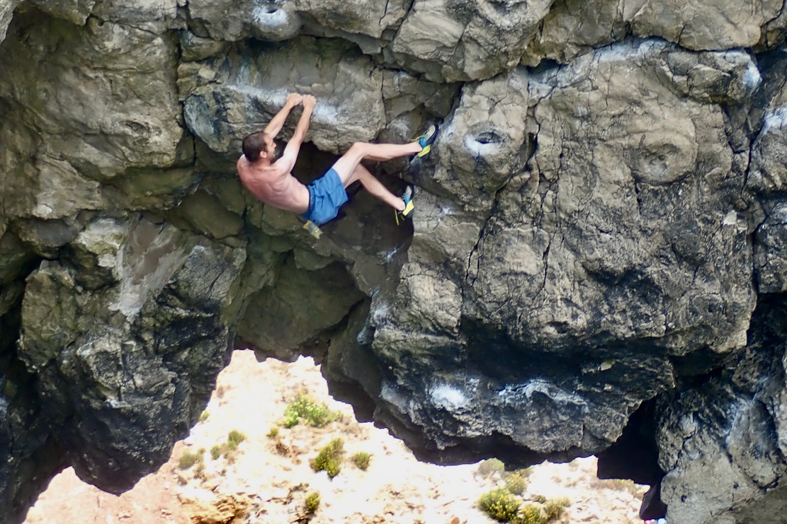
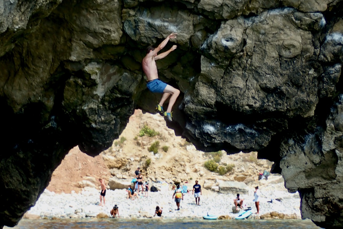
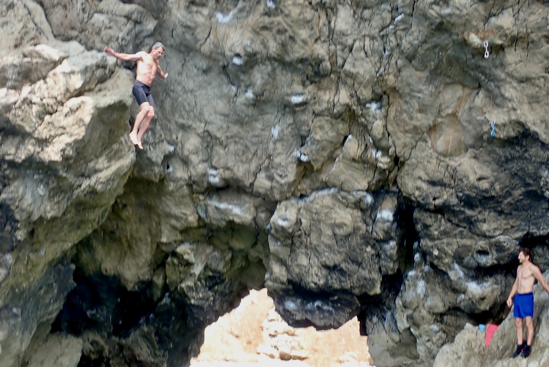
Talking of pecs, on the right (east) arch I realise it’s not just another bunch of young daredevils egging each other on, but proper climbers taking turns to traverse the arch’s overhanging span. I was never into the clobber of climbing. How great it must be to free climb with just shoes, shorts and chalk bag, knowing it’s a short, harmless fall into the water. The bloke in the black shorts made it across to a round of applause; blue shorts bailed.
By now the sea has kicked up and is bouncing clapotis off the cliffs. But I feel stable and safe in the pitching TXL, partly because I know it’s not far to go.
Entrance to the calm waters of Lulworth Cove. It’s a shame to end so soon.
Walking back to the bike, I’m struck by the steepness of the path up Hambury Tout. No wonder I was puffed out. Ready to go, my boat and gear in a bag weighs 8.6kg.
Riding home, some bridleways pass right along the edge of the Lulworth firing ranges and I hear the sound of heavy calibre machine gunfire. They were still at it at 10.30 that night.
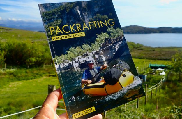
Did I tell you I wrote a packrafting guide book during Covid? I mention it as I happened to reread it the other day after having scanned something similar. ‘Information dense’ I’d call my style – they only gave me 48 big pages. I should have been nominated for an award from the ITF.
Bikeraft sailing sounded like a good idea I’d not tried yet, and now in the midst of this summer’s third heatwave, it’s high time to get on the water! Lately I’ve been distracted by other outdoor activities. Today’s 10mph easterly ought to work well across Poole Harbour, followed by the dreary reed-bound slog up the Frome river back to Wareham. So I took a train to Poole, cycled down to Lower Hamworthy shore, folded up the Dohon Mju and unrolled the boat.
I realised later I’d ridden over the impressive but troubled Twin Sails Bridge completed in 2012, but closed for years at a time. I wonder if the two are connected, as in trying to be flash backfired? It’s so called because the lifting bascules or spans are joined diagonally, giving the dramatic appearance of two sails when raised (below; video).
One worry about bikeraft sailing is that until you have a secure set up, ripping along at 10-12kph you don’t want 11 kilos of bouncing bike to deal with or get tangled in. But as things worked out I needn’t have worried. If it was 10mph, I’d forgotten that that’s not enough for a good ride. The problem is, my WindPaddle has narrow operation window. Beyond 15-20mph it gets overloaded and starts swinging from side to side, though it’s possible my wide-mount Transverse Bowsprit idea (below) has fixed this.
I paddled right out into the middle of the channel opposite Arne to get clear of moored sail boats and turned into the wind. The TXL+ moved along under sail, but I was hardly clinging to lines like something out of a Roadrunner cartoon or in Knoydart one time. The weight of the Mju is more or less equivalent to an overnight camping load, so another 5mph of wind would have been ideal. One side benefit: with the sail down and paddling, the sheet keeps the briny splash off the bike.
Motorboats were bombing around towing water skiers and other contraptions which made me nervous, but this part of the Harbour is allocated to such activities. I inched along like a water snail and eventually I knew I’d have to turn southwest and go across the wind where the boat felt even more sluggish and the bike and pulled down sail up front pushed the bow offline.
It was going to be a long old slog to the river entrance, followed by an even longer haul against a dropping neap tide to Wareham. So I sailed across the channel as tight to the SW as possible, then when the sail collapsed, paddled along while a windsurfer up ahead made better progress.
The dropping tide was exposing the silt to either side and soon the navigation poles: red left, green right, converged and guided me towards the otherwise hard to find river entrance where I knew the Frome turned sharply and I’d get a bit more sailing in. Now in a corridor of reeds, I sailed past the windsurfers who’d been met by a tiny inflatable dinghy who’d tow them into Wareham. As the afternoon heat pressed down, it made the thought of my long meandering slog of nearly 4km to Wareham all the more galling.
Left Pill, Right Pill So at a (non public) sluice jetty I’d noticed before (above), I crawled up a ladder, hauled the boat up and rolled it up. This was right on the Path of Two Rivers. The path is a loop which follows the Frome’s banks and then turns west back to town along the parallel but smaller Piddle. We paddled this once. We also walked the 2RP in autumn and it was fine, but in summer the Frome section had been very overgrown with reeds and nettles.
Left bad. Very bad. Do not go left
I was right at the path’s apex; about the same distance back back to Wareham along either river walk. Unfortunately I turned left and took the Frome path which was a really bad idea. Had I turned right, or even just stepped a few metres to the north and climbed over another locked gate, I’d be on the track alongside Swineham Lake where we go swimming twice a week and I’d have arrived in town in just 16 minutes looking fully normal. But even with the OS Map App showing all this on my phone, I chose left, thinking we managed the Frome bank path before.
These thick reeds did not let up for half an hour. In fact it got worse with added nettles and brambles
Even at the best of times the path here is less than a foot wide, uneven and rutted. Too tricky to ride safely. Soon I was pushing through reeds as thick as a jungle, and much worse than I recalled from our summer’s walk. Pushing the bike ahead on its back wheel like a trolley, at one point I recognised the gate leading to Swineham lake and knew the road was right there, just 100 metres away. I walked down off the embankment into what looked like a path through the reeds but suddenly sank down to my knees in mud and swill, with the bike on its hubs. I was lucky to get out with my shoes. OK, forget that idea. Looking later at Google sat (below), I see the whole Frome path to Wareham is actually an embankment with the river on one side and the dyke in which I’d foundered on the other, all swathed in thick reeds so you can’t see what’s left, right or underfoot.
Never Get Out of the Boat Back into the reed hell, I pushed on. From the walk we’d done I knew what was coming next: brambles and nettles. Now early-afternoon and probably 30°C again, off the water, the windless river banks were suffocatingly humid and hot. This utter misery went on for half an hour. Nettles swept across my shins, brambles sawed at my forearms and reeds slapped me in the face, or tripped me up. I got to a cleared and rideable section (below). Rideable, yes, but not well suited to a 2-speed with 20 inch wheels. The Mju is not a stable bike at the best of times, even less so off road with a backpack while trying to gain momentum to steady the front end. Soon enough I hit an unseen hole and was catapulted over the bars, headbutting the track with a thud propelled by the boat on my back. Oy yoy yoy, today was turning into a right old shit show. I got on again but, deflected by something unseen, I nearly went down the reed bank into the river.
By now I was parched and my arms were streaming with sweat and blood from pushing through the brambles. The legs would still be throbbing from stings next morning, but I reassured myself that there’s some therapeutic benefit to mass nettle stings, isn’t there? At one point I passed a nonplussed couple of middle-aged wild swimmers who looked like they’d been caught by the tide and current, grabbed a jetty with a ladder (like me earlier) and now had a long shoeless walk back to town in their swimwear. Getting back on the bike, determined to reach town sooner for a drink, inevitably one of the many thorns stuck in the rear tyre pushed through under my weight. (By next morning the front tyre was flat too with 3 holes). I should have stayed on the river. What was it Willard said in that film? Never get out of the boat. Abso-lutely god-damn right.
I marched on, visualising the drinks selection at Sainsburys near the quay. One good thing about the Mju is it weighs nothing, and neither does the packraft on my back. Up ahead a woman with a walking stick and her son with a dog walked by, heading the way I’d come. You know it gets really overgrown in a few hundred metres. I said. I showed her my arms.
Gosh, that looks frightful! Thomas, this chap says it’s very overgrown up ahead. I want to go on, said sulky Thomas. Oh well, maybe you’ll read about us in the papers, she said with a grin. At least she had a stick to beat her way through.
I reached the much vaunted extended boardwalk which led to the Saxon-era church near the quay with public toilets where I could sluice myself down. I pinched some guest wifi from the pub and before I knew it, geef was there with a bottle of water and the a-c on full blast. What happened to your head? she asked. Oh, just the usual.
Bikeraft sailing? More wind needed with a bike, but now at least I knew a good way to dodge the upstream Frome river slog into Wareham when the tide is wrong, on foot or with a bike. Take the right pill. Abso-lutely god-damn right.
After Storm Chandra came the calm. Well, just a day of calm with a 5mph onshore breeze, sunny spells and single digit temps before seasonal deluges resumed. The artillery was pounding at Lulworth so the west side on Kimmeridge Bay within the MOD firing range was definitely off limits, but it might be nice to pootle along the base of the Kimmeridge Ledge cliffs and back. There could be a stormy after-swell, but small waterfalls may be be running too. I even thought it might be a day to sneak round St Alban’s Head from Chapman’s to Dancing Ledge…
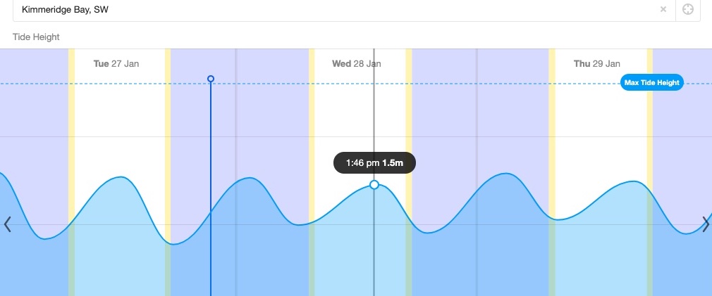
I’ve droned on about trying to pin down unlisted Kimmeridge tide times. The short answer, I’ve decided, is Willy Weather. Today a harmless neap tide was rising just half a metre in 8 hours to top out around 2pm. Interestingly, the High Water time moved by 20 minutes from the evening before, which suggests it’s not just some publish-and-forget-it table of predictions, but based on live inputs.
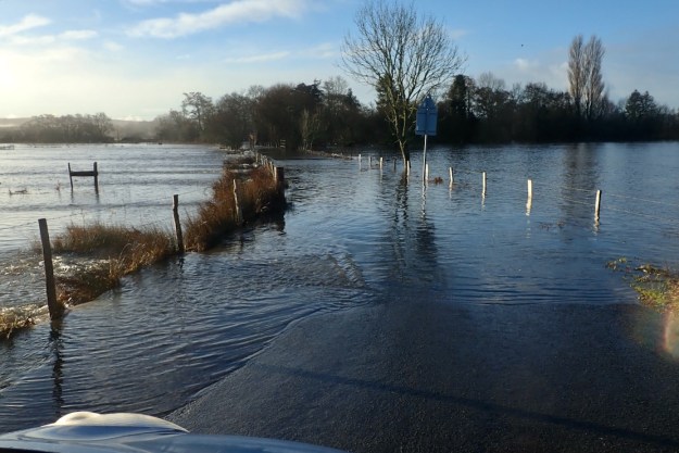
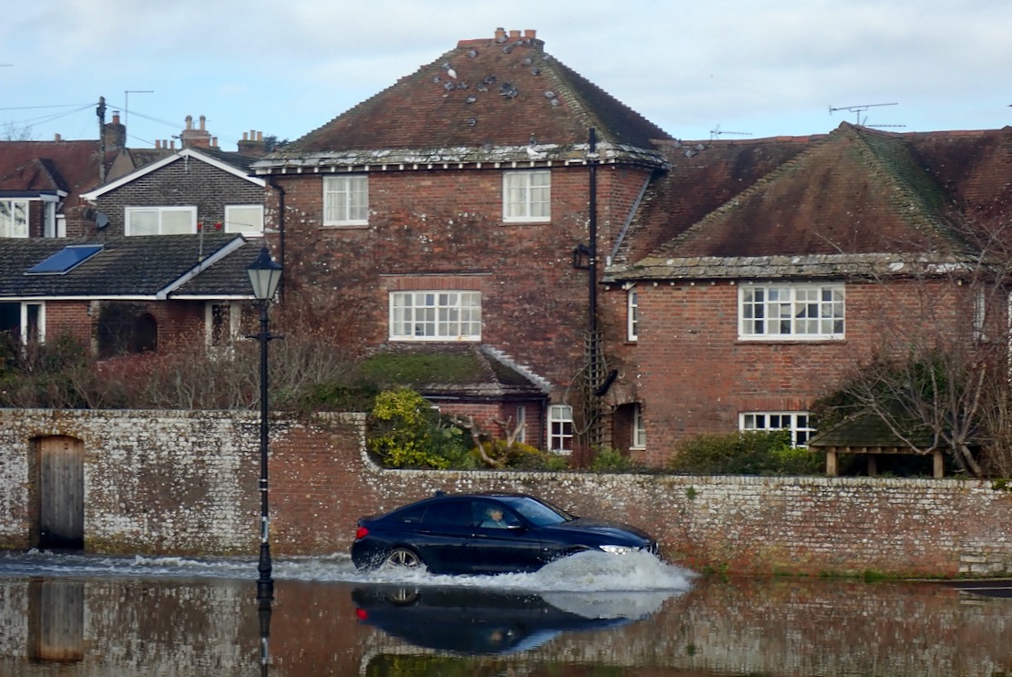
Hoping to take the scenic route, at Holme bridge the River Frome’s water meadows had spread into a vast lake, submerging the road, long before I even got close to the ford, which I read later was 5 feet deep. So after a couple of other attempts, I settled on the long way round over the flood-shedding Purbeck Hills to Kimmeridge Bay.
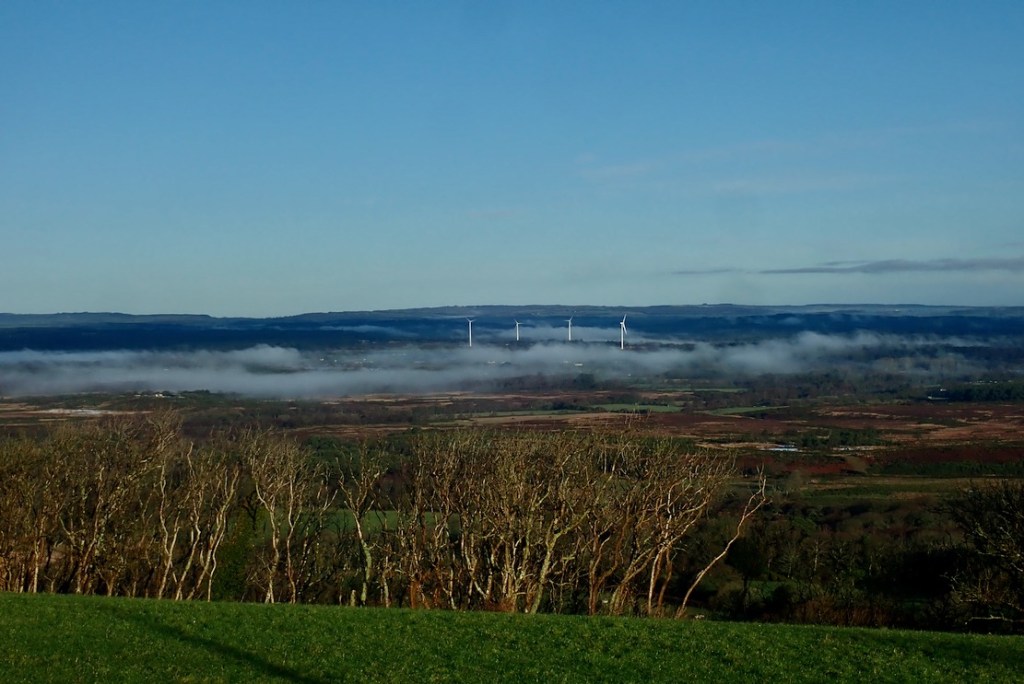
On Purbeck ridge the mist still clung to the flooded valley bottom.
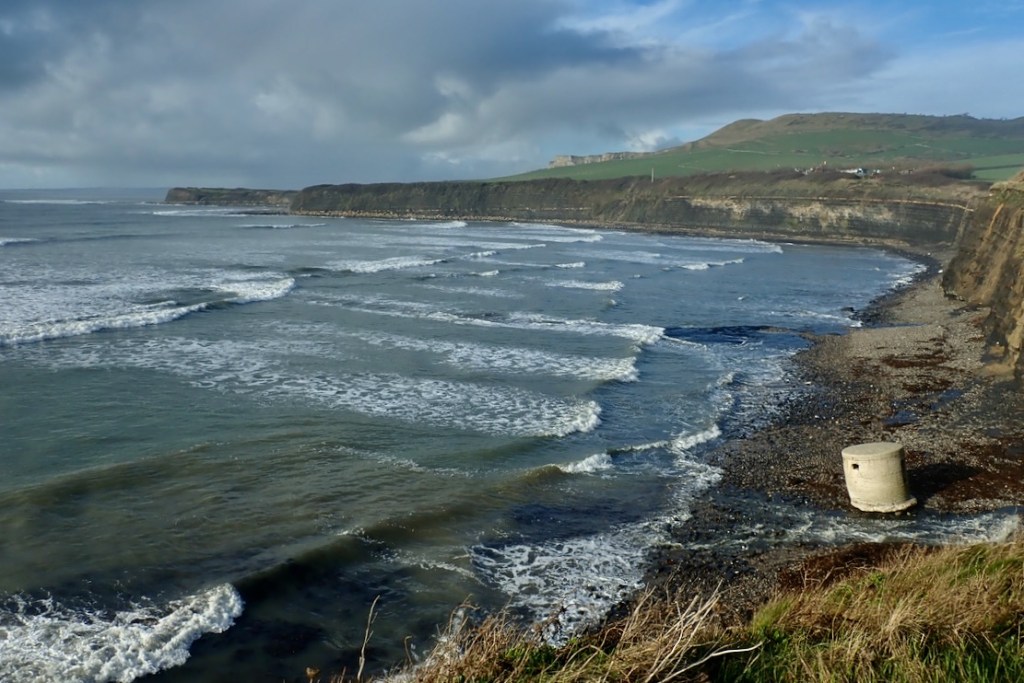
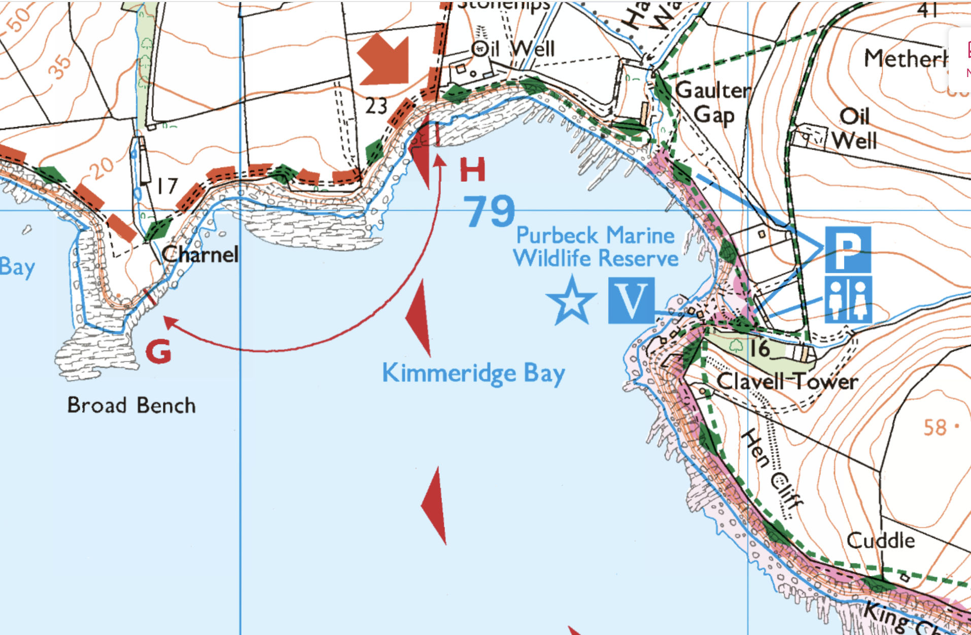
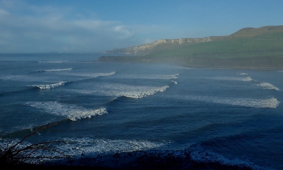
Coming over the last hill before Kimmeridge village, I realised I’d underestimated the after-swell; the stormy winds and rains may have passed but the seas were still animated.
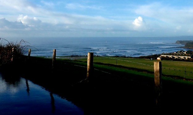
Overlooking Kimmeridge Bay. Lively.
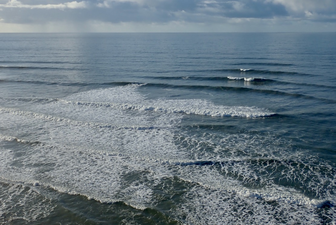
Down at sea level in a dumpy packraft it looked like it would be a struggle of good timing, desperate acceleration and luck to get out quick through this surf without getting swamped. I didn’t have my drysuit and as things looked, today was a day for a decked or bailing packraft. At times the surf seemed to flatten off and you could have scooted out on a paddle board. Then it all rolled back in, streaking the Bay with white foam.
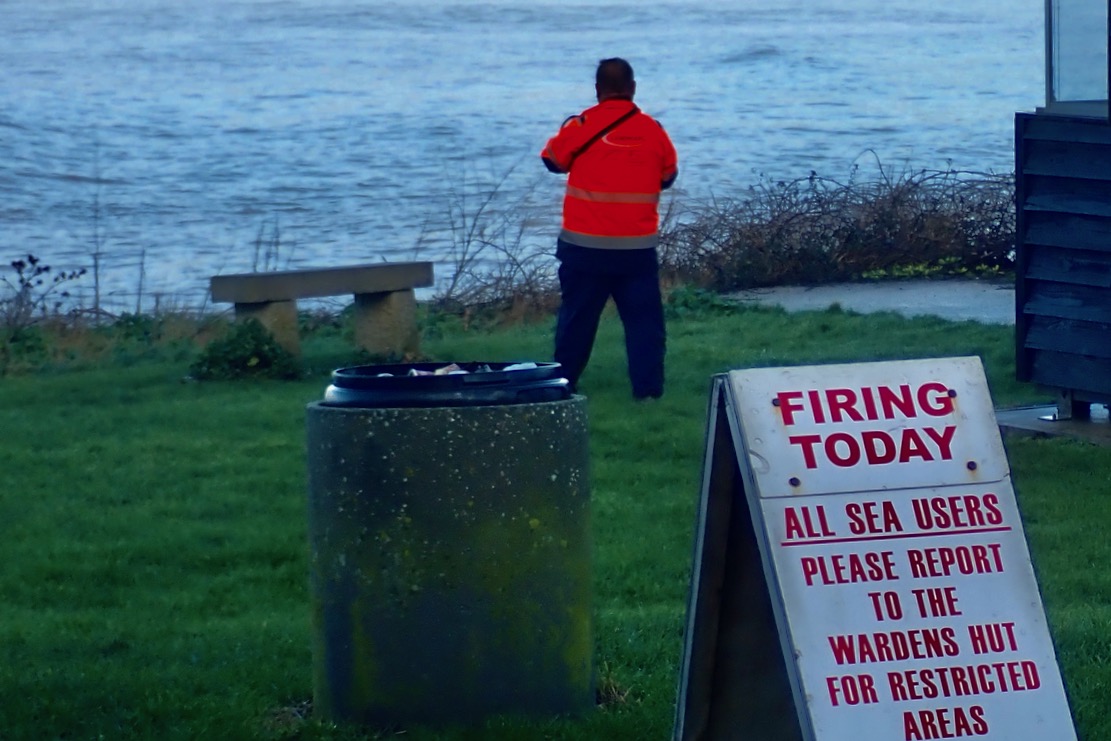
There were look-outs stationed round the bay. How thoughtful, I thought. Who lays that on then? Then I realised they were probably contracted by the MOD to make sure sea users kept away from the shells potentially raining down on the west side of the bay.
I thought if I could sneak through the east edge of the bay it would be OK round the corner, so I climbed up to Clavell Tower to have a look. Sea mist clung to the Bay.
If anything it was even more lively, with the Ledges kicking up the swell for hundreds of metres out. So much for a quiet cruise along the cliff base. Unless I went right out, I’d be forever glancing right to see what was incoming, and on the Ledges, waves can lift up out of the blue without warning.
We tried packraft surfing up at lovely Achnahaird one time, in far more benign conditions with waves barely at knee height. It was a laugh but packrafting today would take some commitment.
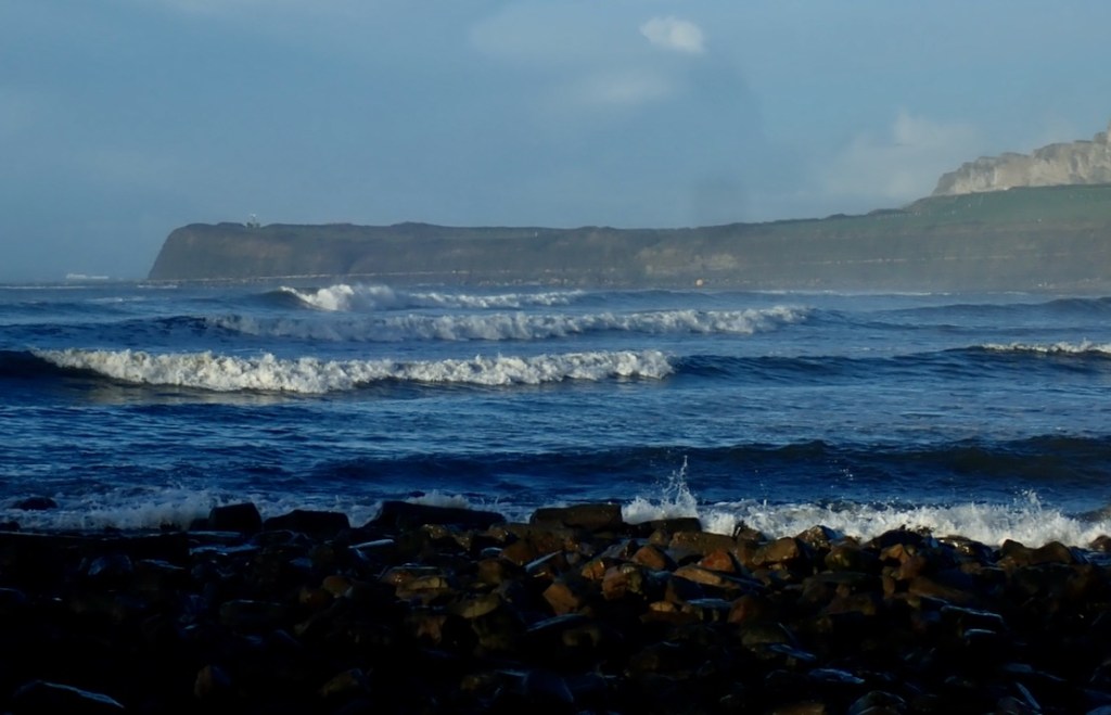
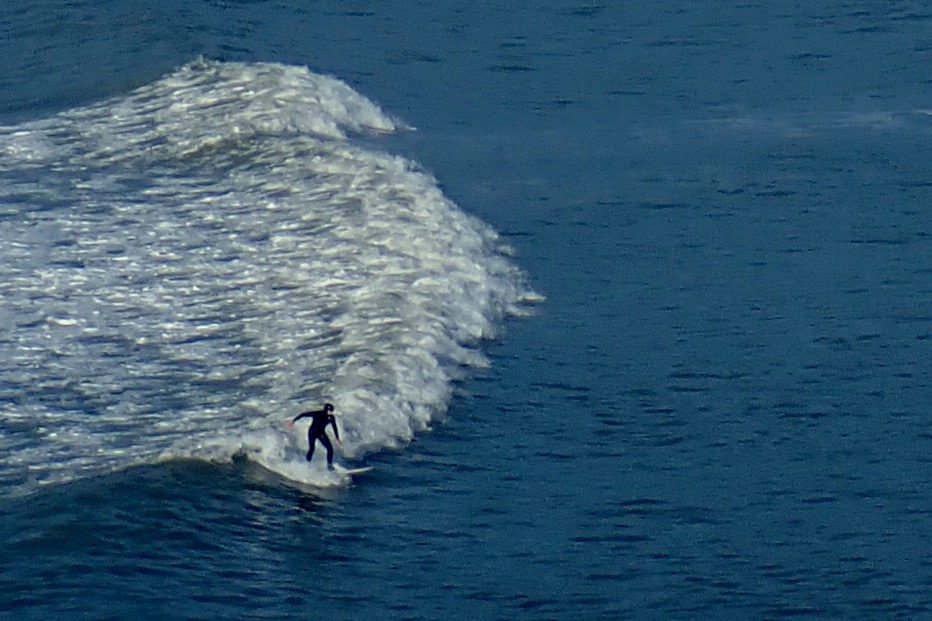
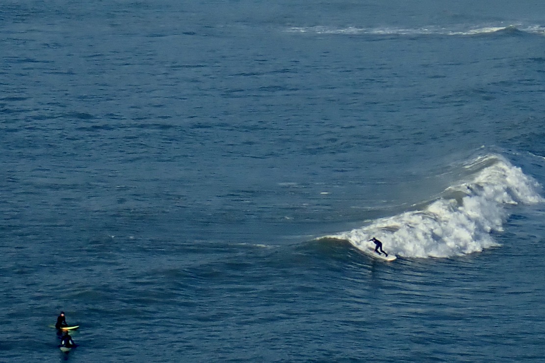
Today was a day for the surfers: get in the water and stay in it. Sadly, as I’ve noticed before, watching surfing live is not like a trailer for Big Wednesday. To paraphrase Gregory Peck: “They pay me for the waiting, the surfing I do for free“. It took me 15 minutes of watching four surfers bob around before I grabbed the shots here of a 15-second ride.
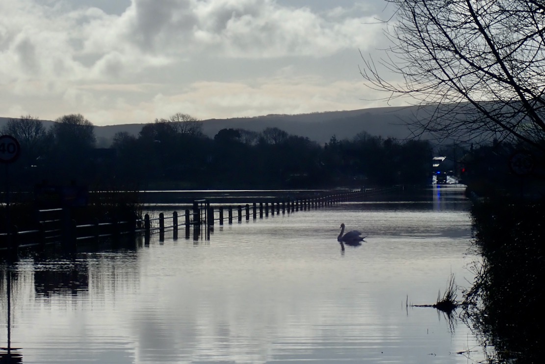
Back at Wareham, a swan was parked in the middle of the Causeway. You can see why they call it the Isle of Purbeck.
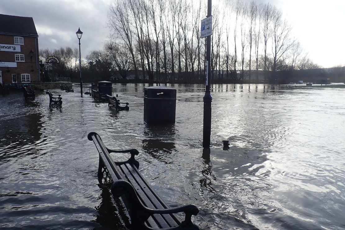
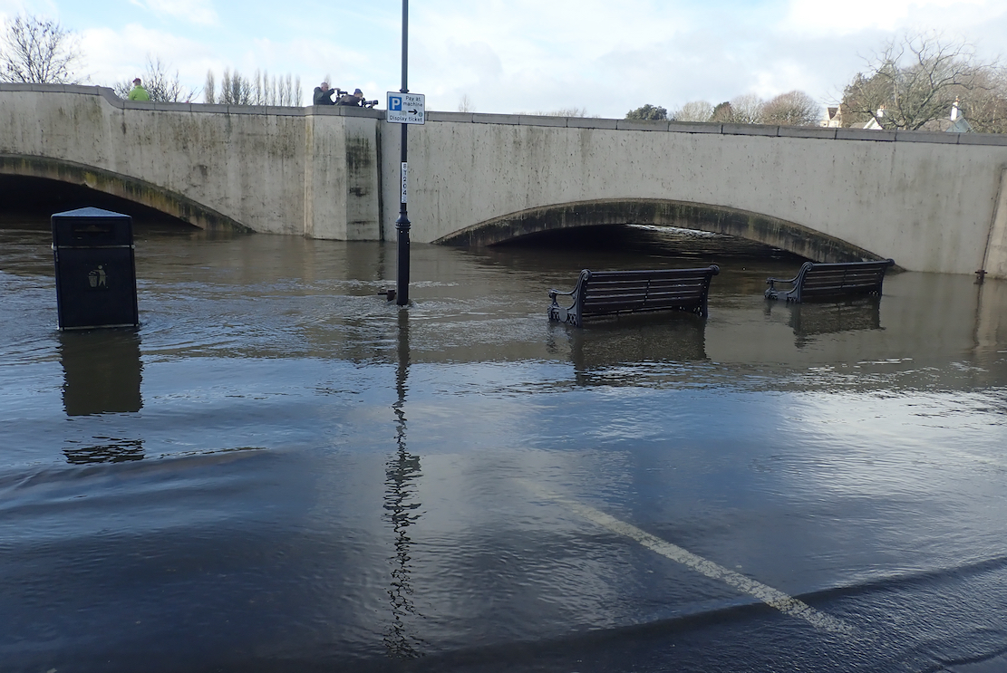
Wareham Quay was awash, with barely a foot under the road bridge to the Causeway which was why the river was backing up.
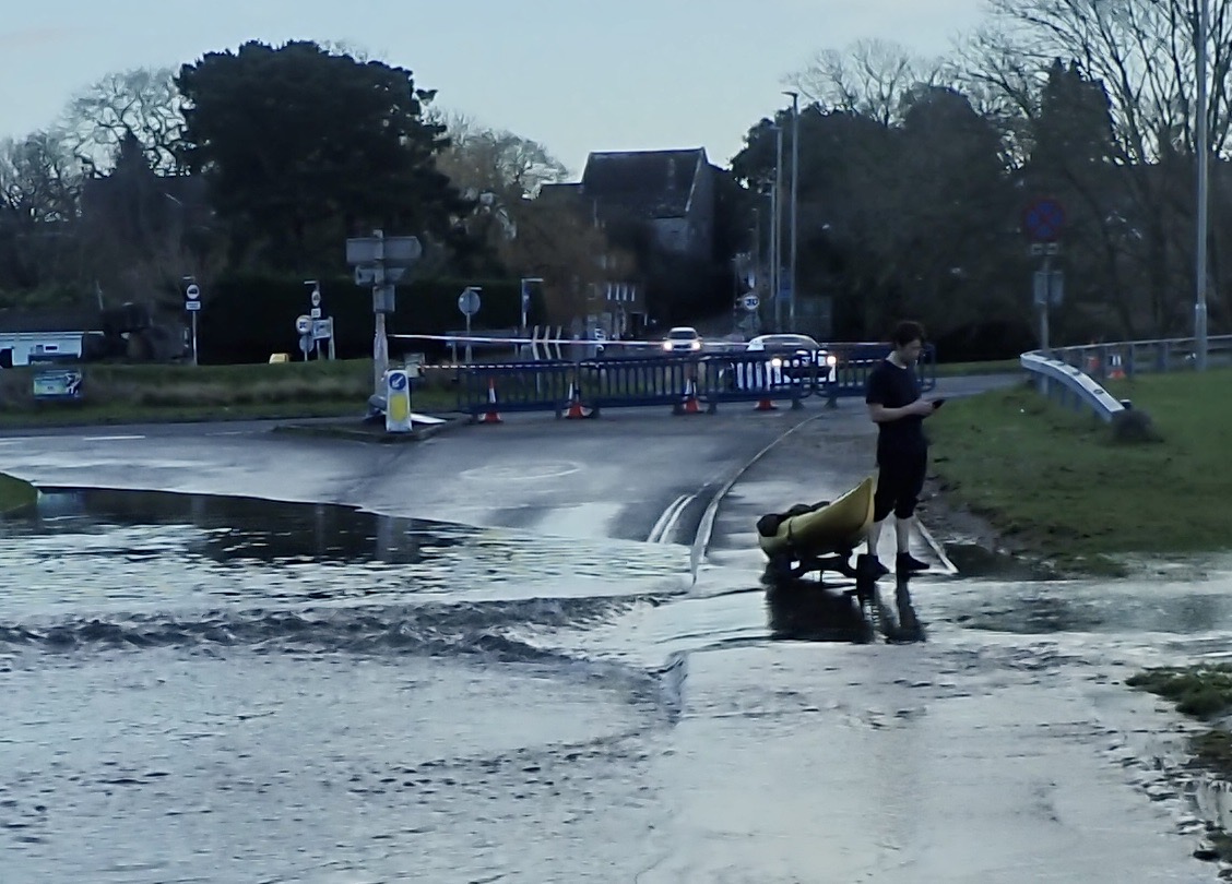
And it was only just possible to reach the station off the bypass where a bloke was putting in his sea kayak. At least someone got a paddle in today!
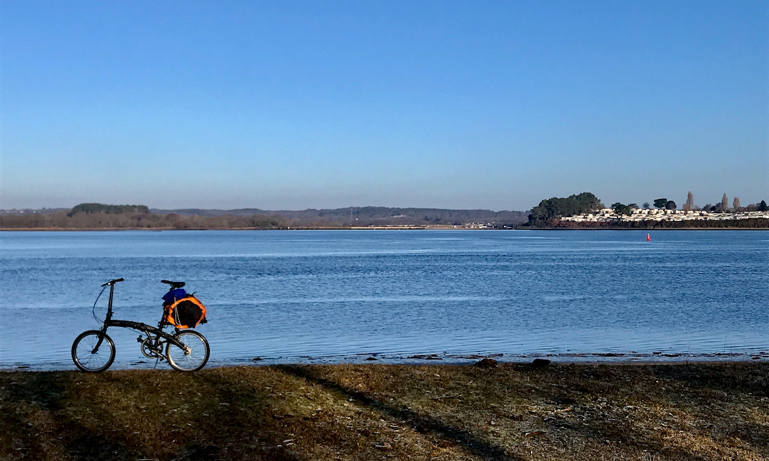
My Dohon two-speed folding bike is still a bit of a bikerafting novelty, so on a sunny, calm and chilly day soon after New Year, I went out for a spin in Poole Harbour.
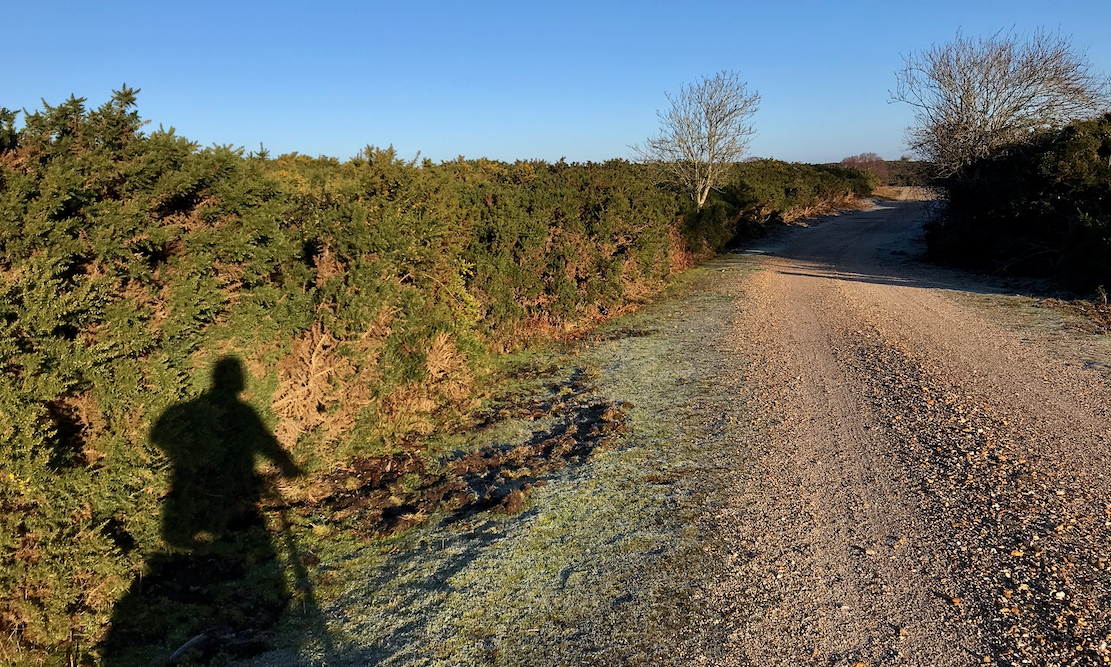
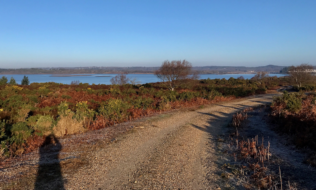
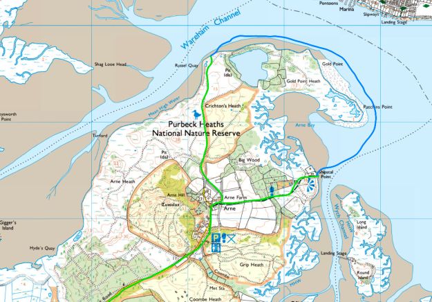
I pedalled up to Arne, then set off north across Crighton’s Heath, occasionally crunching through frozen puddles.
At the top of the heath the narrow Wareham Channel came into view beyond the tawny, mid-winter scrub.
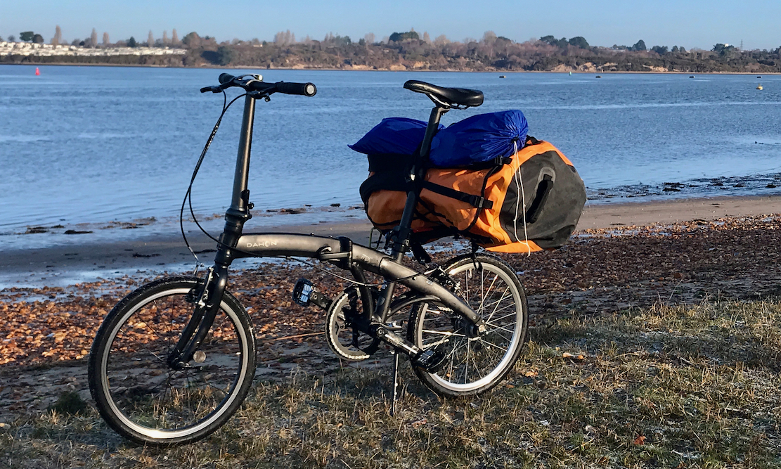
For stability, the bag sat crossways over the clip-on rack works best, but the small wheeled bike struggles across cattle grids and gets wobbly manoeuvring at low speeds.
The tide was a lowish neap coming in, but at this point on the Harbour shore, the HW/LW band is narrow which means less chance of mudflats, whatever the tide. I’ve been caught out here before.
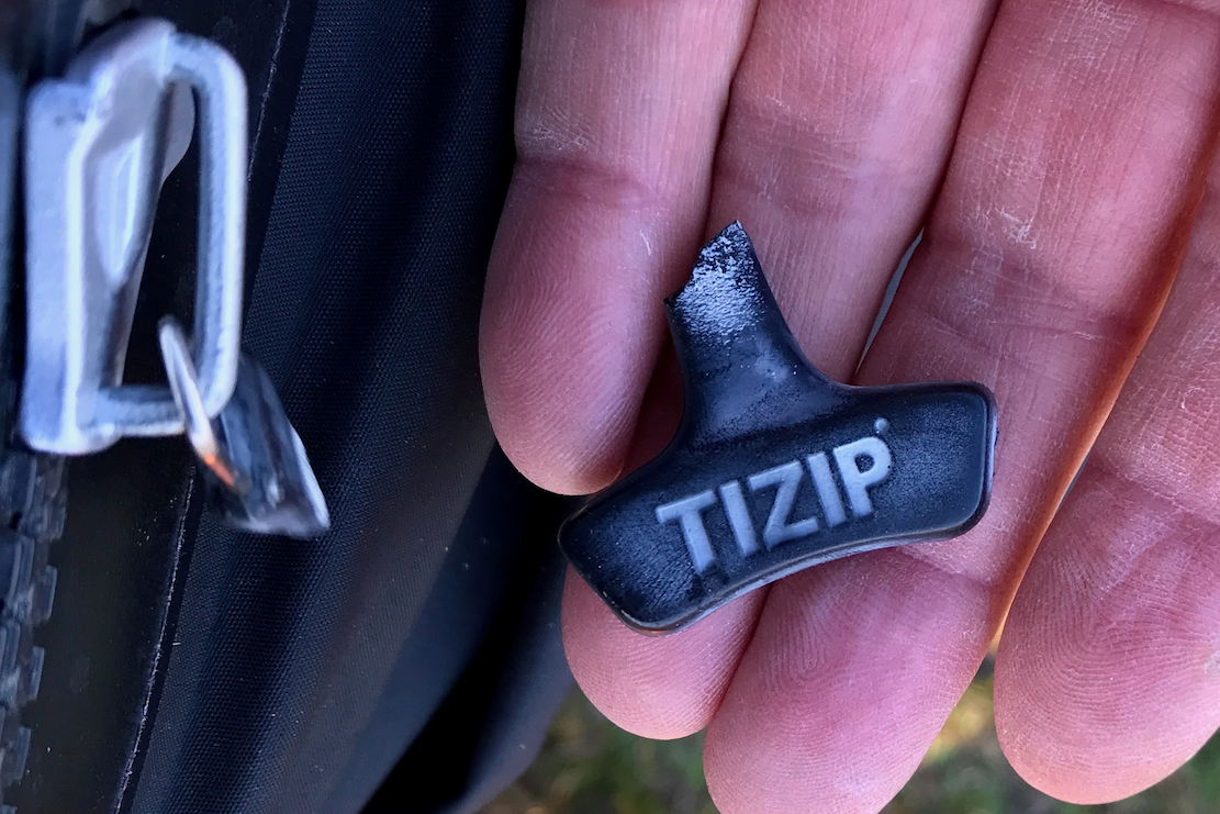
It wasn’t that cold – or I was over-dressed in a fleece onesie and drysuit. But it was cold enough the snap the plastic toggle off the drysuit’s TiZip.
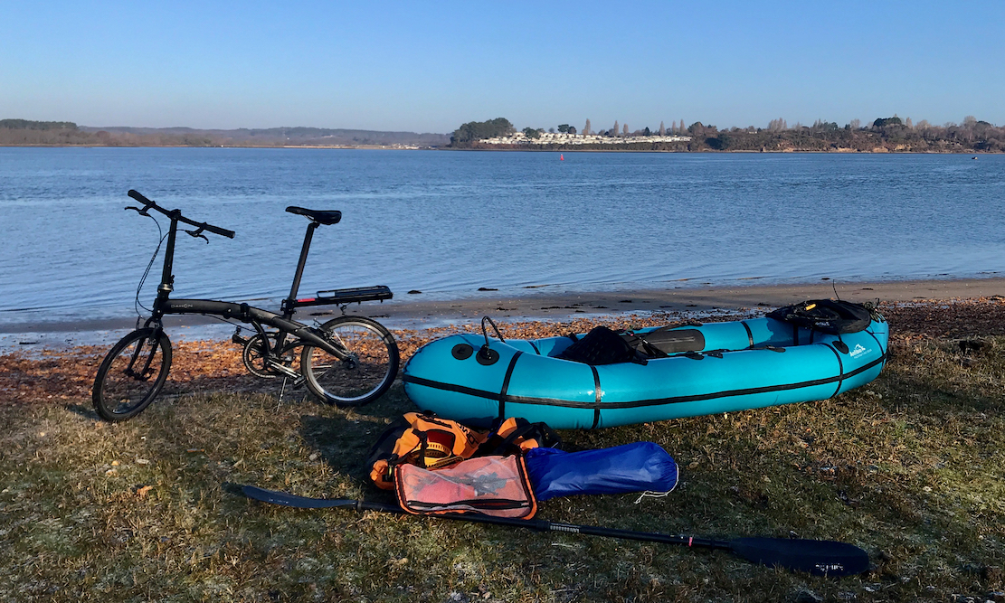
The bike drops easily into the bow. No need to lash down. I set off west. Today was one of those rare days where the water was warmer than the ambient air. Result? After inflating fully with cold air, no need to temper (top up) the boat as the warmer water firms it up for you.
The boat may be firm but I got no glide – it’s a struggle of move along. Is it the added 11kg, unfitness or the incoming tide through the narrow Channel having a bigger effect than I thought? I decide it’s mostly the latter.
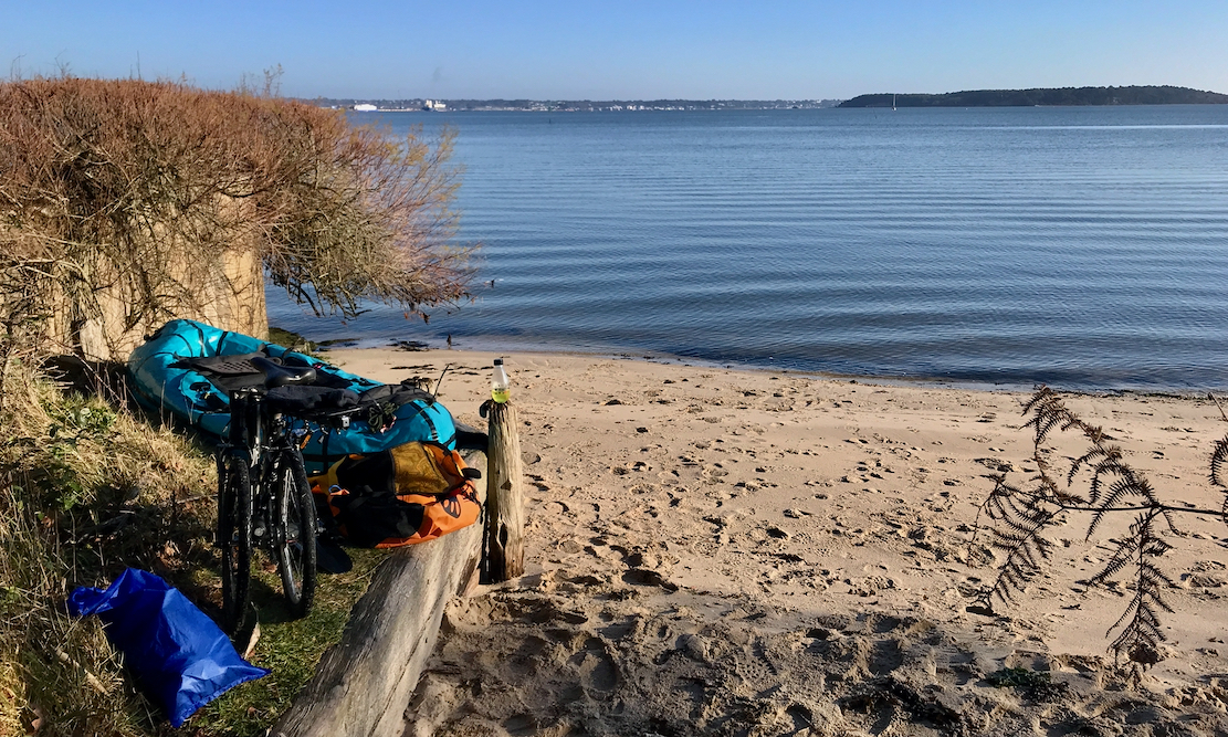
As I turn the corner at Gold Point I’m paddling southeast into the low sun which, along with the tide, is really quite annoying. Should have brought the peaked cap. On top of that, I didn’t get myself properly comfy in the boat, as I managed on the Christchurch bikeraft last summer, the first time I tried folded bikerafting. Don’t know why; the seat was in the same place, so was the bike, but not being fully relaxed in the boat wears you out prematurely. Once past the hook of Patchins Point and out of the tide, I slide off the seat, put my feet up and drift off. I take a periodic peak and now it’s the northeasterly breeze pushing me out towards Brownsea Island, not the tide.
I turn into towards Shipstal Point where a bridleway leads back to Arne. It was a short paddle but as always, it’s nice to get on the water on a sunny winter’s day.
I try and pack up without getting sand all over the boat and bike, but it’s a losing battle. I lash down the boat and pedal home.
I’m reminded what a mistake it was to use an iPhone without a stand or at all. Unlike my Olympus, ‘wet camera’ it’s tricky to use while pedalling, and trying to use the self-timer or vids focusses on a blade of grass in front of the lens, not the passing bike. Result: extra boring pics of nothing much at all.
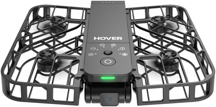
Later that afternoon I finally got to grips with a Hoverair X1 drone (left) a mate sold me cheap. It’s basic and sounds like a kicked hornet’s nest, but works without a phone or controller, weighs just 125g and fits in your pocket. Reviews are pretty positive for what it is. This morning’s biking and rafting would have been a perfect chance to try it out and get some better PoVs. Next time may be a while away. The weather forecast shows wind and rain right off the edge of the screen.
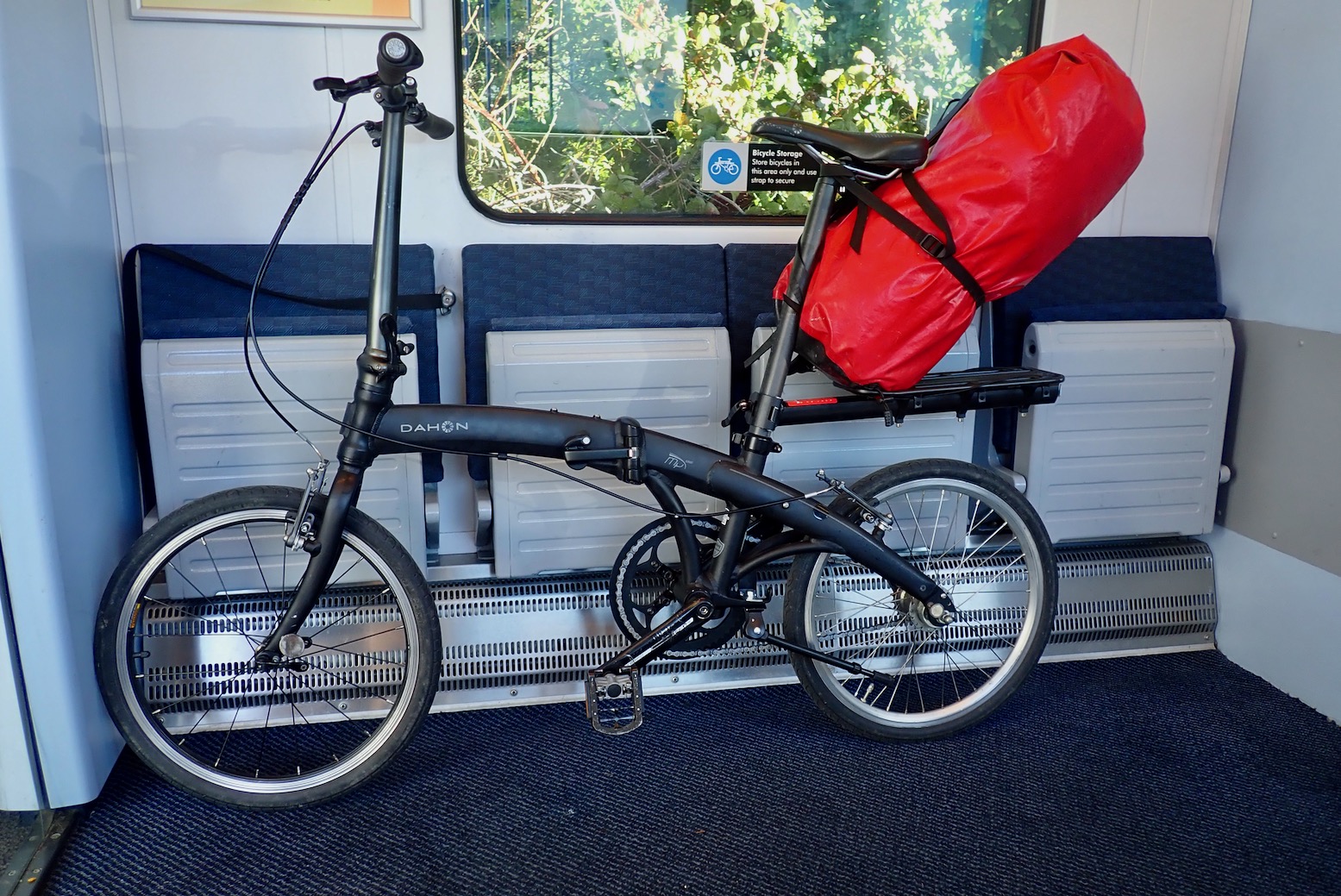
The other week I bought myself a Dahon folding bike, a long-established American brand with a French sounding name that’s probably made in China. In the UK it’s much less pricey than better known Bromptons. Folders seem to be going cheap right now as older folk move to e-bikes. I still have a couple of pedalling years left in me, I hope. At least 10 years old, my Dahon Mu has an unusual (and long discontinued) SRAM Automatix 2-speed hub, V-brakes and once folded up, weighs just 11.5 kg (my MTB is 15kg). I could’ve waited for a 7- or 8-speed hub to turn up, but thought I’d give the Automatix a try. I don’t mind having one less cable and mechanism to operate. It shifts up automatically at a round 10kph; a bit too soon some say, but there’s an easy mechanical hack around that.
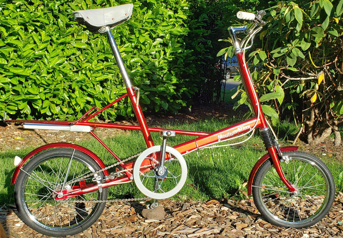
The Dahon reminds me of my Ferrari-red Raleigh Moulton I had in the late 60s, possibly my first two-wheeler. Along with being a groovy Sixties design, I think my mum thought small wheels = ‘sensible’, like a shopping bike. ‘Sensi-Schmensi? Hold my Tizer!’ My innovative ‘full suspension’ Moulton folded too, only not in a good way. Too much bombing around on Mitcham Common doing Evel Kinevel jumps one weekend saw the seat tube and stays fold backwards after one heavy landing. A decade and a half later California brought us the Apple Mac and mountain bikes and we never looked back.
Midsummer 2012, Joe Sheffer and Al Humphreys bikerafted to the top of Shetland using folding bikes. That’s my very first green Alpacka Joe’s paddling, a Denali Llama, just before Alpacka introduced the much copied extended stern.
Years ago I tried bikerafting in northwest Scotland with my MTB. Up there it didn’t really work, the few roads were empty enough, but what paths and tracks there were were tricky on a bike with a boat strapped to it. I wrote in 2012…
… add a bike and any off-roading becomes marginal up here [FNWS]. Most of the time you’ll be pushing or carrying, especially with an overnight load. No MTB is really rideable on the footpaths up here, although unlike England and Wales, since 2003 Open Access allows cycling on all footpaths (there are no bridleways). Cross country and off the footpaths, at times you can barely walk, let alone ride a bike
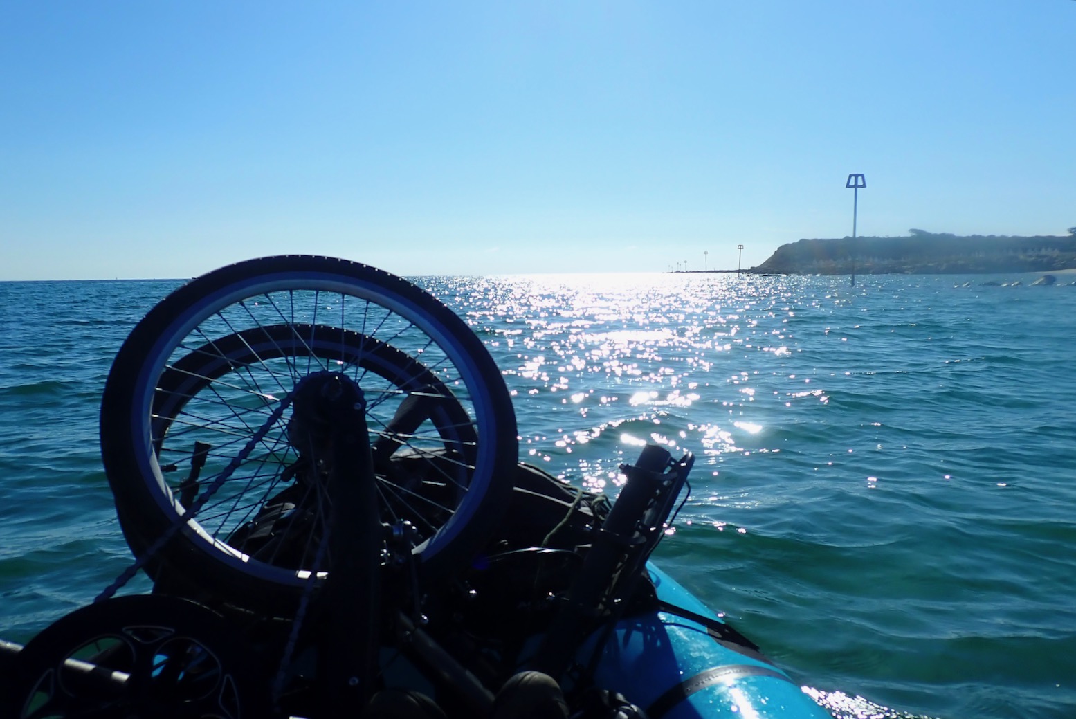
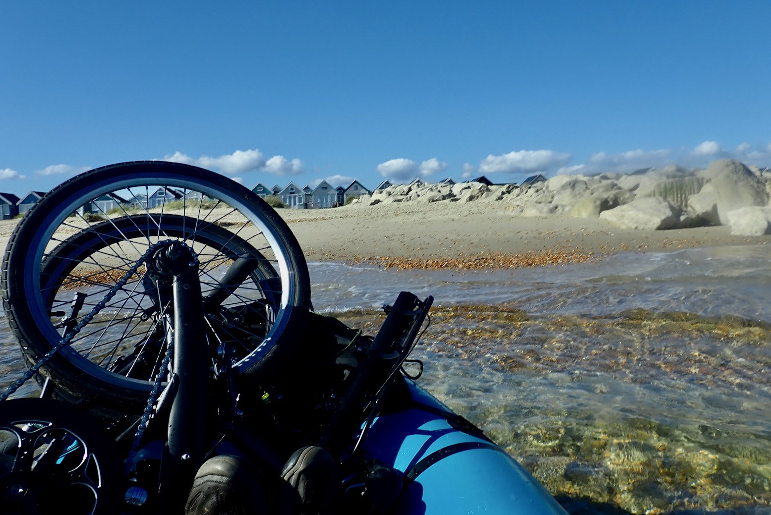
This time round I have a bigger packraft and a smaller bike. I pedalled down to the station and got a train to Pokesdown, a 10-minute cycle from Iford bridge (below) near the tidal limit of the River Stour. On the water I moved the seat back and dropped the folded bike at the front. Unlike a regular bike, the folded Dahon sits part in the boat so there’s no real need to strap it down on the long TXL. I put the bag under my knees and set off about 1pm on a rising neap tide (right) that was set to stay level in the harbour for the next few hours. Winds were 6-8mph from the southwest.
Iford bridge at the tidal limit of the River Stour
From Iford bridge, or Tuckton just downriver is a popular paddle boarding spot and a couple of women were putting in with me. You can see why. You soon leave any impression of urbanity and drift along between the lush trees with little other traffic.
Add the blue sky and all in all, these were as ideal packrafting conditions as you’ll get. The TXL feels a bit heavy with the 12kg bike, or I’m out of paddle practice.
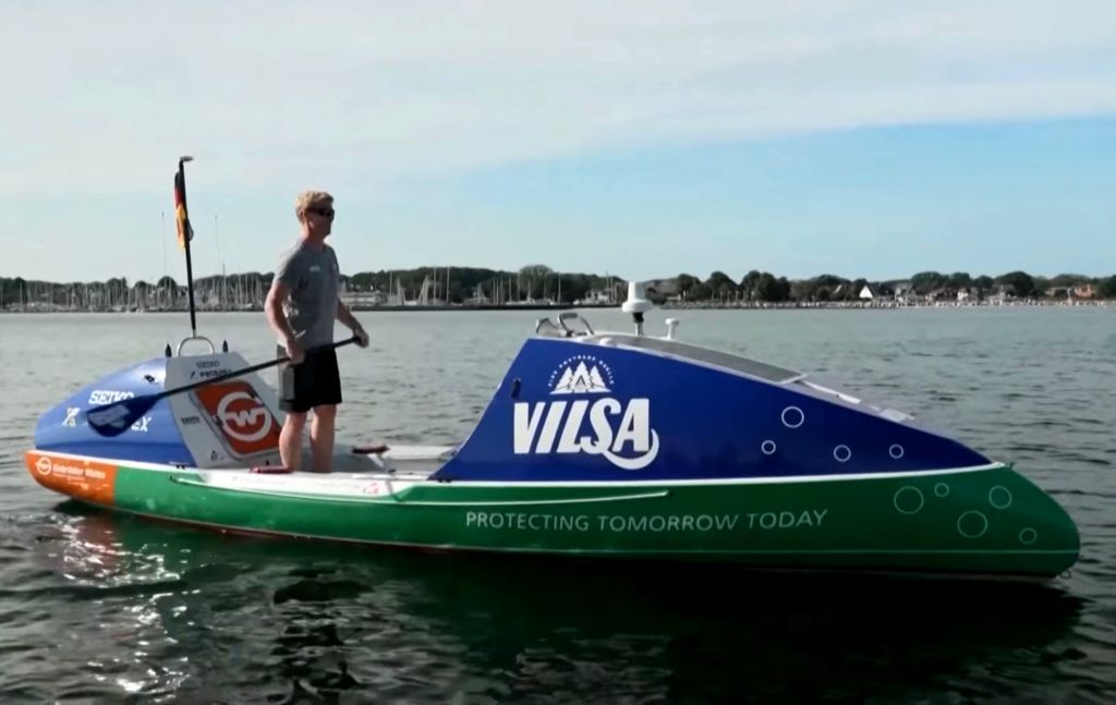
I pass a chap doing up an solo ocean rowing boat. It wasn’t this one which washed up nearby recently. Even with favourable currents and winds, it amazes me a single person can row a ton of boat across an ocean. But they can and they do.
I just read about Michael Walther, who adapted a similar boat to ‘SUP the Atlantic’. He set off from Spain and in two weeks covered 1150km to the Canaries averaging 3.9kph. Explanations seemed vague (boat damaged close to the port) but the trip ended there.
Soon rows of mega boats crop up with the the priory behind. Christchurch is like a millionaires’ Wareham.
Past Christchurch the land opens out. I sense the sea ahead.
A lot of boat for a little space. But a lot more stable than a little Dahon Mu with a packraft on the back.
I stray too far north into the protected shallows with just six inches of water. The marked boating channel follows the harbour’s southern edge.
From Hengistbury hill looking north. Note the tourists train for the weary of limb.
The harbour’s narrow outlet at Mudeford Quay.
Mudeford Quay from the hill.
As I passed through the channel I was hoping to be temped ashore by the aroma of sizzling seafood.
No discernible tidal flow in the channel today. Out into Christchurch Bay it’s only 13km to the Isle of Wight
Wanting to string things out, I paddled south into the wind and tide towards Hengistbury Head. It felt a bit more fun to be pressed against the elements (knowing there’s only 10 minutes of it).
I take out at the last beach before the Head.
That was an easy and very enjoyable paddle. Only 8km over 90 minutes.
‘That’s a good set up you got there’ said a woman. ‘Yes it is’, I replied. The complete solution to amphibious mobility for the recreational enthusiast (I did not add).
I weave along trail across the beach
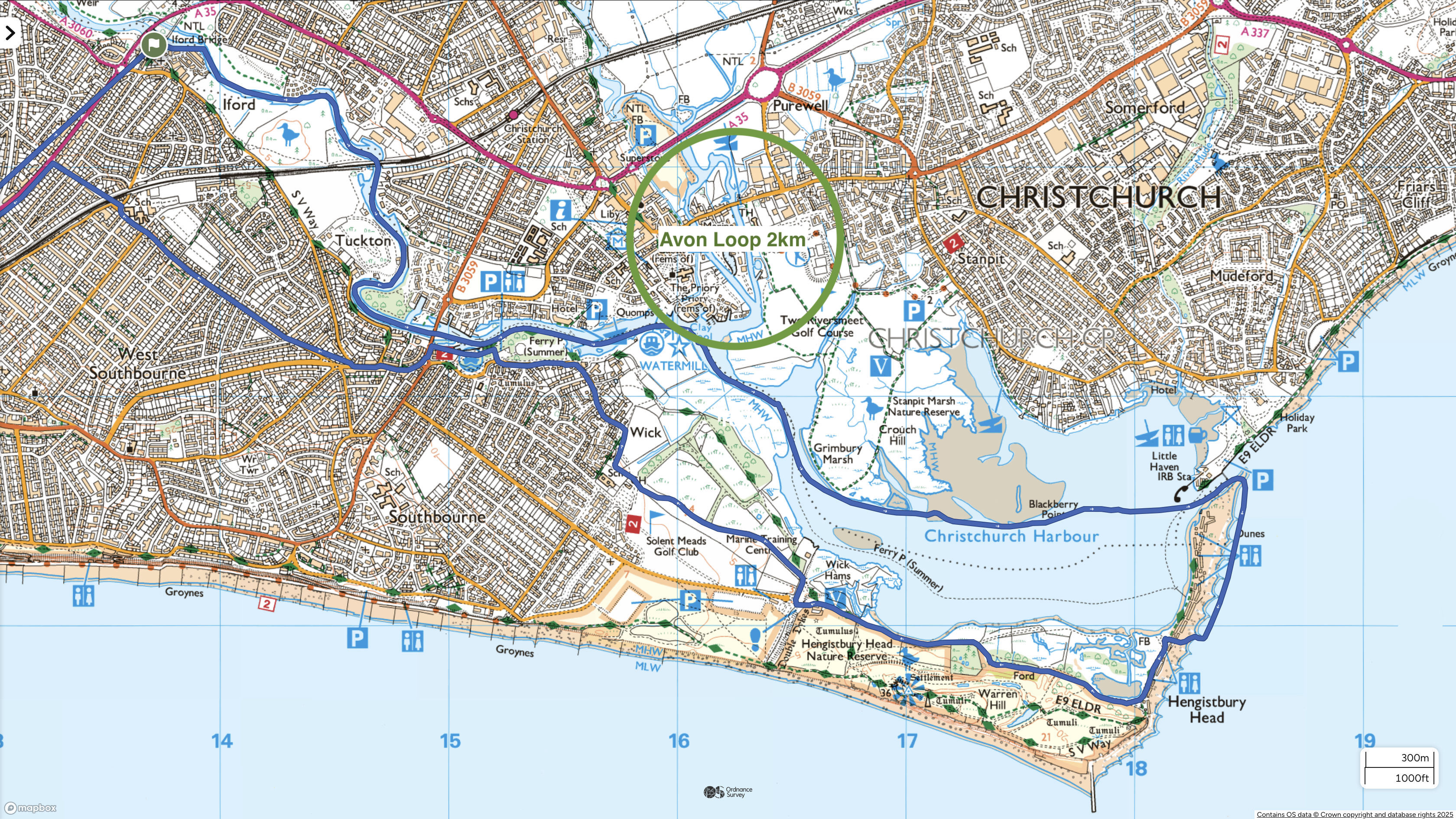
Harbour map. A fun place to explore with bike or boat or both.
It’s about 8km back to Pokesdown station, half of it on tracks.
Christchurch Priory and the water meadows, as not painted by Constable.
Only a tenner for 2 slices and a big cappucho. I suppose I needed the energy but that cherry slice had enough sugar in it to preserve a herd of dugong.
Looking at the OS map left, you might think it’s like packrafting through London, but nothing could be further from the truth. A tranquil, tree-lined river leads to a glittering inland marina and medieval church and a swan-speckled natural harbour beyond. Once out in the Bay, with the usual southwesterly you could carry on up the coast to Highcliffe, a couple of train stops up from Christchurch. Or with a higher tide, poke around the harbour. And just after the Priory, the Avon river comes in from the north. Someone suggested it’s possible to do a 2km tidal loop off the Stour and back. One for next time. Ironed out for some blundering around on the way back, that was about 18km from Pokestown station, with 8km of very enjoyable paddling. Without the bike it would have been a long walk back, though there is a summertime ferry from Mudeford Quay back up river. So this particular outing was well suited to bike rafting. With the wobbly payload, the comparative lack of stability, just two gears and the feeling I might snap something if I rode it like my MTB, the Dahon forces me to slow down. Not a bad thing. Next time on salt water, I might put it in a bag, so I don’t have to rinse and lube it back home, but I’m looking forward to more mini foldingbikerafting trips, where flatter roads and tracks allow.
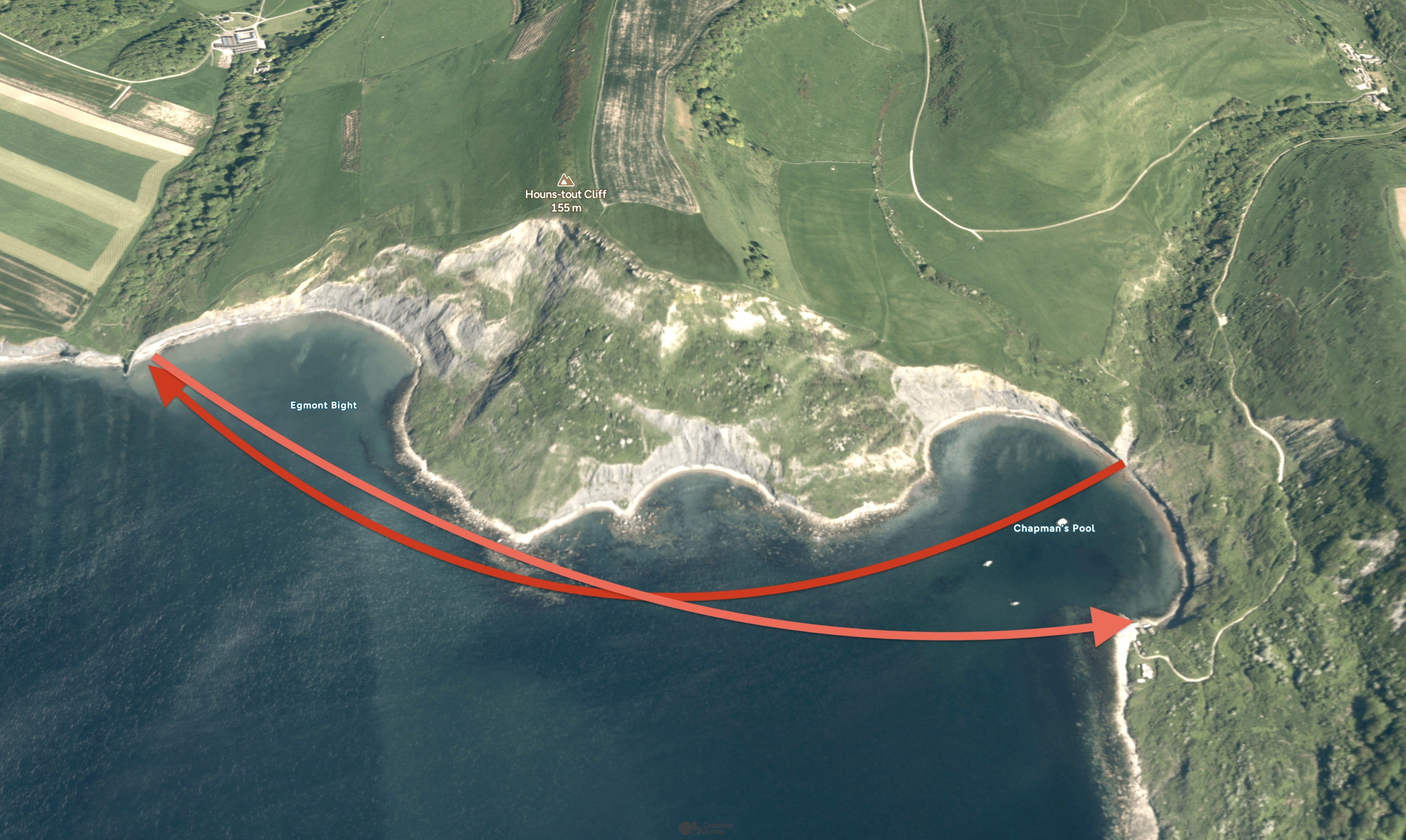
Unsatisfied with my bank holiday paddle-by, two days later we hiked back to Chapman’s and packrafted back round to Punta P. We left right on LW spring, but either my tide timings were wrong (don’t start me on that) or Chapman’s shore doesn’t dramatically transform, like Kimmeridge beach. It was less than a mile’s paddle, but a strong SSE was blowing and once out of the Pool, it got choppy around Egmont Point, especially into the wind on the way back. It didn’t help that I had the TXL’s floor mat fitted for extra glide, but which I know doesn’t work well for a rear paddler: higher floor = less or no backrest = not relaxing.
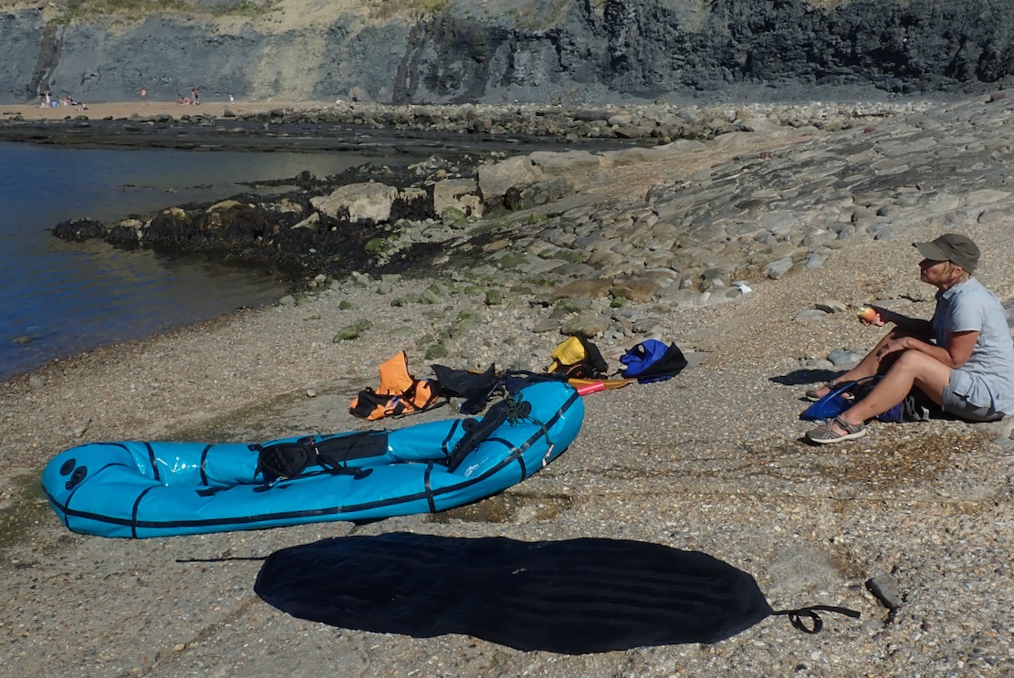
Once at the cliff face and with the boat resting in the shade of the Freshwater rock spur, the Mrs easily found fragments of ammonites in the shingle (why always ammonites?). We edged round the spur’s tidal shelf onto Pliosaur beach where a woman looked down from above and asked ‘Ow d’you get down there?’ ‘We paddled.’ ‘Uh..?’
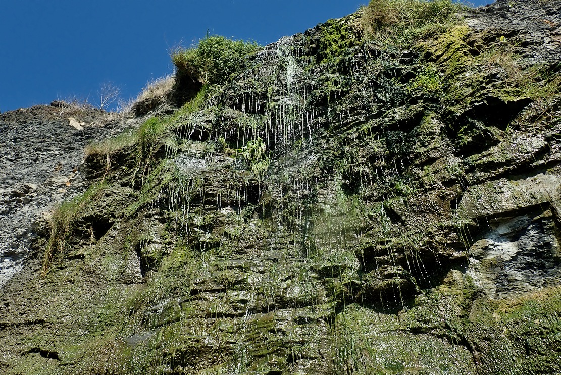
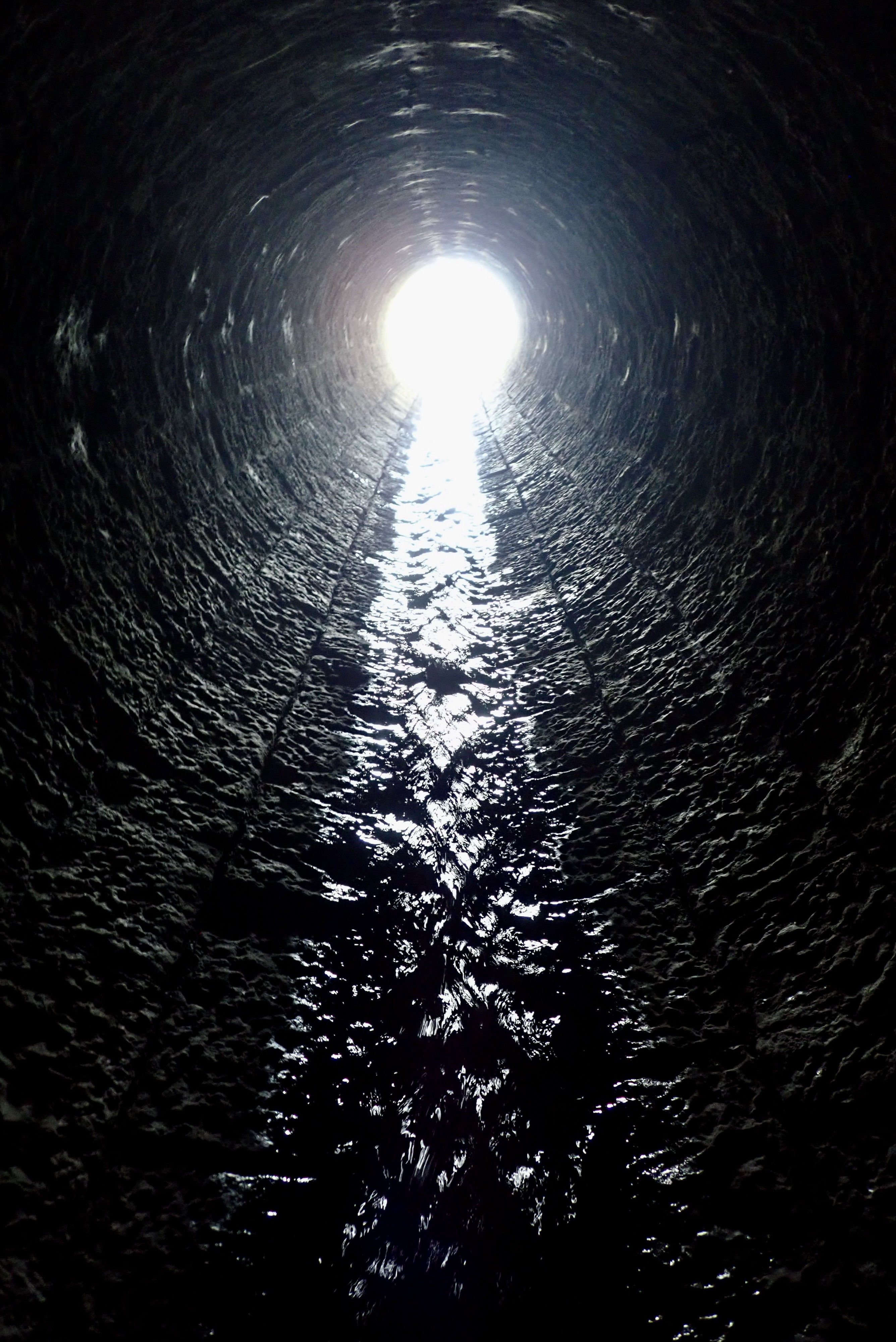
Despite an exceedingly dry spring and summer, a cascade was still dribbling down the cliff face through tendrils of moss, ferns and algae (below). It was the end of the South Gwyle, a short stream with a big catchment. Augmented by a couple of landscaped fish ponds up the valley at Encombe House (more below), ‘gwyle’ is an old Dorset word for a tree-lined stream.
Fallen and weathered concrete slabs below a protruding step on the cliff edge: the remains of the mysterious ‘Freshwater Steps’
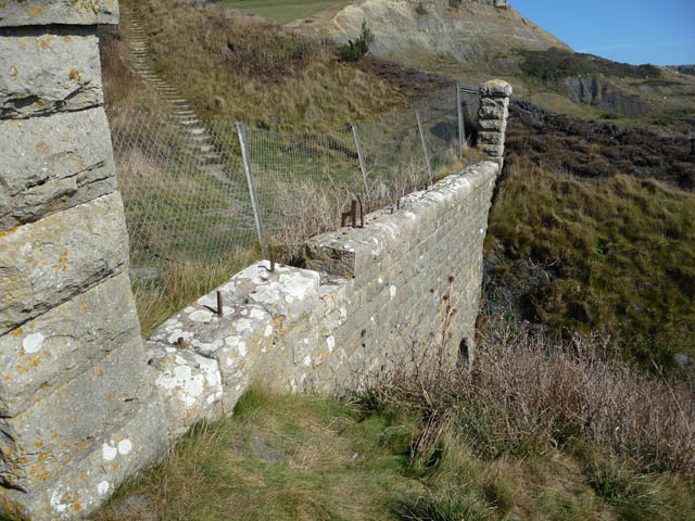
With nothing more to learn about the pliosaur, I was curious about the odd limestone wall up on the clifftop, seemingly bridging the stream. Clearly visible on aerial imagery, I’d noticed it walking back the other day to Kimmeridge, but was too hot and bothered to explore. Perhaps the ruin of an old mill?
Landslide into Egmont Bight
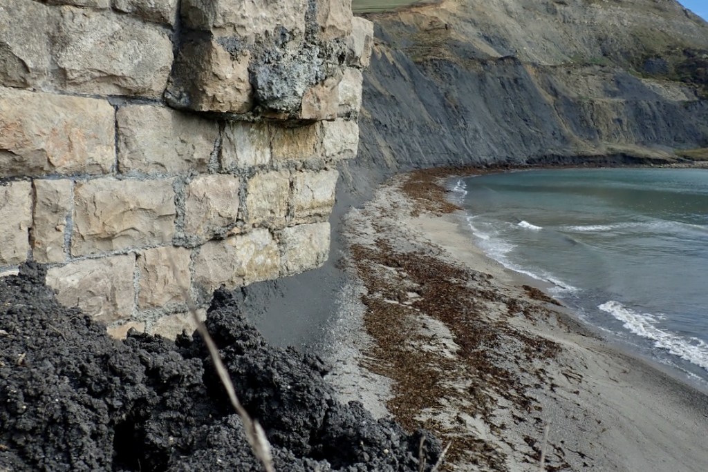
On the east (other) side of the dark shaly spur from which the cascade falls, the protruding end of the wall is being undermined, and now hangs over the cliff edge (below). Cracking under its own weight, one day it’ll collapse and fall to the beach. We parked the packraft here, in the shade of the spur. The face was full of fossils, but bits of grit were constantly dropping from above. While here I had a look at the probable site of the landslide I’d seen on Saturday (left), but it must have looked more dramatic than it was on the beach, and these little slides must happen all the time.
Overhanging east end of the wall from above and the beach, slowly being undermined by the receding cliff (2025)
Photos by Phil Champion on Geograph from 2008. On the left note the ‘other’Ladies’ Steps’ (‘for ladies to climb easily to a path leading to the Carriage road‘) descending to the wall: the old footpath still part of the SWCP in the 1970s but now under thick brambles or thin air. The wire fence and all the pillars seen above have disappeared, bar one. It’s amazing it’s all lasted so long, given its exposure, but the east side of the spur has lost several feet in height and width in 17 years.
Freshwater Steps and the Hydraulic Ram, map 1901 (Source)
Back on the west side of the spur, ‘Freshwater Steps’ is a name I’ve seen on older maps (above) and, as expected, locally born geologist Ian West’s geological and historical page had some answers, as well as many fascinating old photos. In fact ‘Freshwater’ seems to have been a name for this locality (left) which preceded the Steps. Perhaps a place a boat could pull in to top up the water barrels? I’ve noticed another ‘Freshwater’ on the south coast of Devon.
Encombe House, 1857, photolithograph, John Pouncy (source)
As far as I can unravel, the story goes that round 1840, the Freshwater Steps were built down to the beach by John Scott, the 2nd Lord Eldon whose Encombe estate enveloped a grand Georgian mansion (above) bought in 1807 by his grandfather, former Chancellor Lord Eldon (also John Scott; d. 1838; right). History has not judged the first Lord too fondly according to usually impartial Wikipedia, as well as this writer who puts him alongside the famously loathed Castlereagh of the late Regency era. Since those days the estate has grown greatly.
The falls today at Freshwater Steps. The last hanging step visible top left
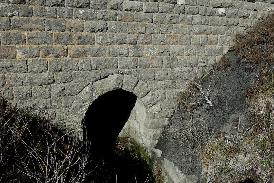
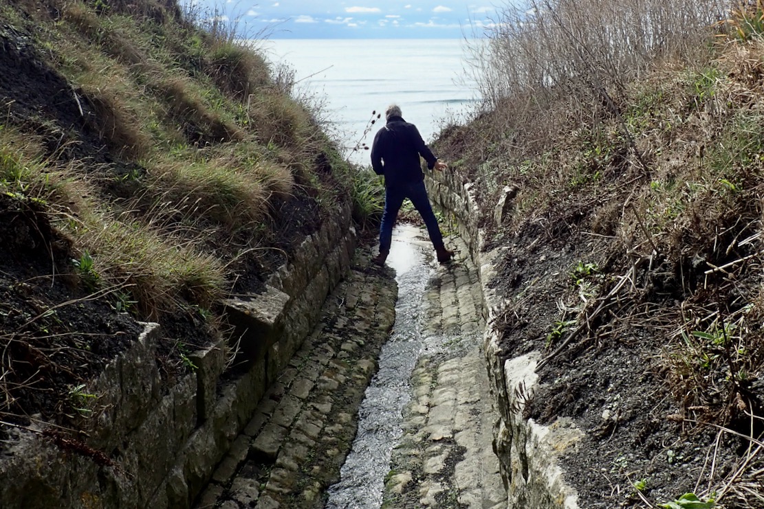
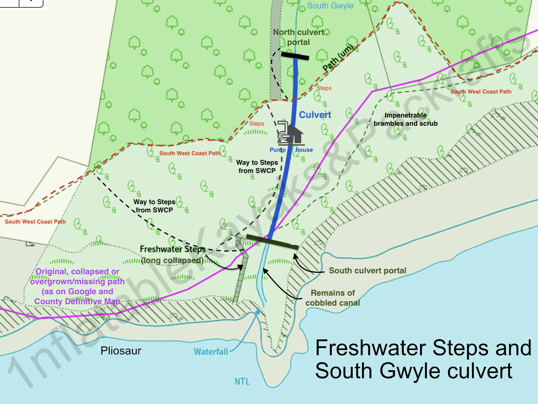
The surviving stone wall is actually the portal of a finely built, 60-metre, stone-lined culvert passing under the South West Coast Path (gallery above). Downstream, a cobbled canal once redirected the stream over the promontory’s tip (another image from 1965), though the 2004 Purbeck Revealed book (see below) seems to explain this as a natural feature, despite the stone-lined canal. Freshwater and sea storms eroded the spur and the stream receded to its current position (left) – the same geological process which, decades later, saw a pliosaur snout drop to the shore with an unheard thud.
200220052014
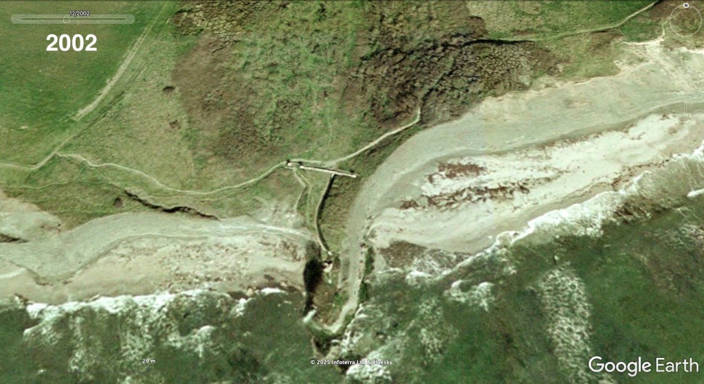
Google Earth historical imagery. In 2002 the coast path still took the old way close to the cliffs and through the scrub (as still shown of Google Maps today), the wall and canal appear intact with a pillar at each end of the wall and another (which has been moved but still survives in the grass) marking a gateway to the Steps whose lower have have collapsed to the beach. At least 2 metres of cliff have also slipped down from the eastern side of the spur. Another, more overgrown image from 2005; the canal wall remains intact and the waterfall tips off towards the end. Note the gully above the as-yet unfound pliosaur, it may have contributed to the erosion which eventually exposed the snout. By 2014 the SWCP had rerouted north, the western canal wall had collapsed, littering the beach below and putting the waterfall in its current position, although the upper Steps are still evident. The wall is collapsing on the east side. Current GE imagery appears to extend the east wall which suggests artificial enhancement, possibly AI?
Mid-19th century ‘carriage roads’
Why all this work diverting the gwyle through a culvert and building the Steps? Perhaps, along with the estate’s fine gardens and numerous carriage roads (one cutting right across long subsided Houns Tout cliff to Chapman’s; left), it was all about impressing visitors with picturesque ‘follies’ along with the supposed health benefits of bathing in sea water (see pump house below) which had helped put nearby Weymouth on the map. Purbeck Revealed (2004) by Ilay Cooper may have another explanation. Born in Swanage during WW2, the author describes larking about on the Encombe estate as a boy. According to his research, the second Lord was responding to water shortages on the estate with bold Victorian engineering, not engaging in late Regency frippery. The gwyle’s catchment was not so broad after all, necessitating the digging of long, stone-lined tunnels and laying pipes into adjacent valleys in search of springs. The Freshwater project may have been little more than a spin off while the builders and masons were in. Certainly Encombe sat right on top of lashing of Purbeck stone from which the house itself was originally built.
The Steps and Falls may have modestly been trying to outdo the 1831 Clavell Tower folly (right), three miles west along the SWCP on the adjacent Smedmore Estate. The Tower survived a little better than the Freshwater infrastructure, but a century on, it was a ruined, burned out shell. By 2007, in poor shape internally and fast becoming the ‘Leaning Tower of Purbeck’, a funding campaign finally succeeded in having it dismantled brick by brick and moved back from the cliff edge.
Note that especially on the east side, the cliff is much more receded than this modified map, based on the Definitive County Map, shows
Near the Steps, this doesn’t look like a ‘hydraulic ram’ as shown on maps.
On another visit here, exploring the area just north of the wall, a friend noticed a rusted iron fence and overgrown steps (left) leading down to a domed chamber. Inside a heavily corroded crank and flywheel (above) looked like the ‘Hydraulic Ram‘ noted on late-1800s maps (below) and listed on Dorset Heritage. But the position doesn’t line up with old maps and I must admit, the device we saw doesn’t resemble any vintage ram pumps found online, each with their distinctive bulbous ‘accumulator’ chamber. With the hand wheel and crank, this looked more like a means to vertically open a sluice valve. Maybe there’s more elsewhere or below the stone floor. At Encombe, old sources say the pump was used secondarily to move sea water up to the house where people could bathe in privacy, not on the beach like the hoi polloi. It may explain the small side shaft I noticed passing through the culvert probably directly under the pump house – an outlet for the sluice or the ram’s ‘waste valve’ perhaps? Assuming sea water bathing didn’t go on round the clock at Encombe, the chamber we found may have been a valve to get the hydraulic ram pumping. The pump house was also alongside a shorter trail to the SWCP, joining it just before the steps climb westwards.
A ‘hydram’ is an ingenious ‘uphill water pump’ invented by one of the Mongolfier brothers in 1796, a decade or more after their famous hot air balloon flight (left) also turned the concept of gravity upside down. The pump uses the free energy of a constant water source and the ‘water hammer’ effect (the bang when you shut off a tap quickly) feeding pipes fitted with a pair of one-way valves. Once balanced, it slowly but surely pumps water way above the inlet source with a little wastage from the first valve – see vid below. Requiring no external power and little maintenance, hydraulic rams and similar devices were common in the pre-electric 19th century, and have been rediscovered today by off-griders and remote villages in the developing world.
There’s a good account extracted from local born Bob Dorey’s (1892-1995) memoir – Odds & Ends from My Century (1992) – on the Kingston history page. Here, the old village pub was renamed the Scott’s Arms after WW2. OS maps also show ‘Eldon’s Seat’ half a mile to the northwest of the Steps, the first Eldon’s private viewpoint.
Finely built culvert, nearly 200 years old. Crawling through here was all a bit ‘Famous Five and the Mystery of the Freshwater Steps’. At the end of the tunnel I was expecting to find a lost smugglers’ hoard draped by a couple of skeletons. Maybe I’ve read too many books.
Storms raged and the soft shale crumbled, slowly taking the Steps, and parts of the wall and channel with them. The falls broke through to spill down the mossy cliff some time after 2005, and around 1978 (according to Purbeck Revealed) the Steps, long undercut, collapsed entirely, never to be trod again.
A castaway’s last desperate attempt at rescue.
Deary me, we have drifted a long way from packrafting and adventures in packboats. We set off back to Chapman’s, the TXL riding over bigger waves like a dead pliosaur. The Mrs was not at ease and next day Poole Coastguard reported being swamped with incidents. I was also surprised how sore the shoulders were next day after just 2.5 kms there and back in the wind and waves, compared to Saturday’s calm 6-kilo ride over from Kimmeridge. Seems it was more effort than it felt, like a short but rough MTB ride vs a longer road ride. Repeating that crossing today in a packraft would’ve been utterly exhausting if not an outright Bad Idea. But that’s why we wait and wait for the 10% chance of <10mph tailwinds with favourable tides.
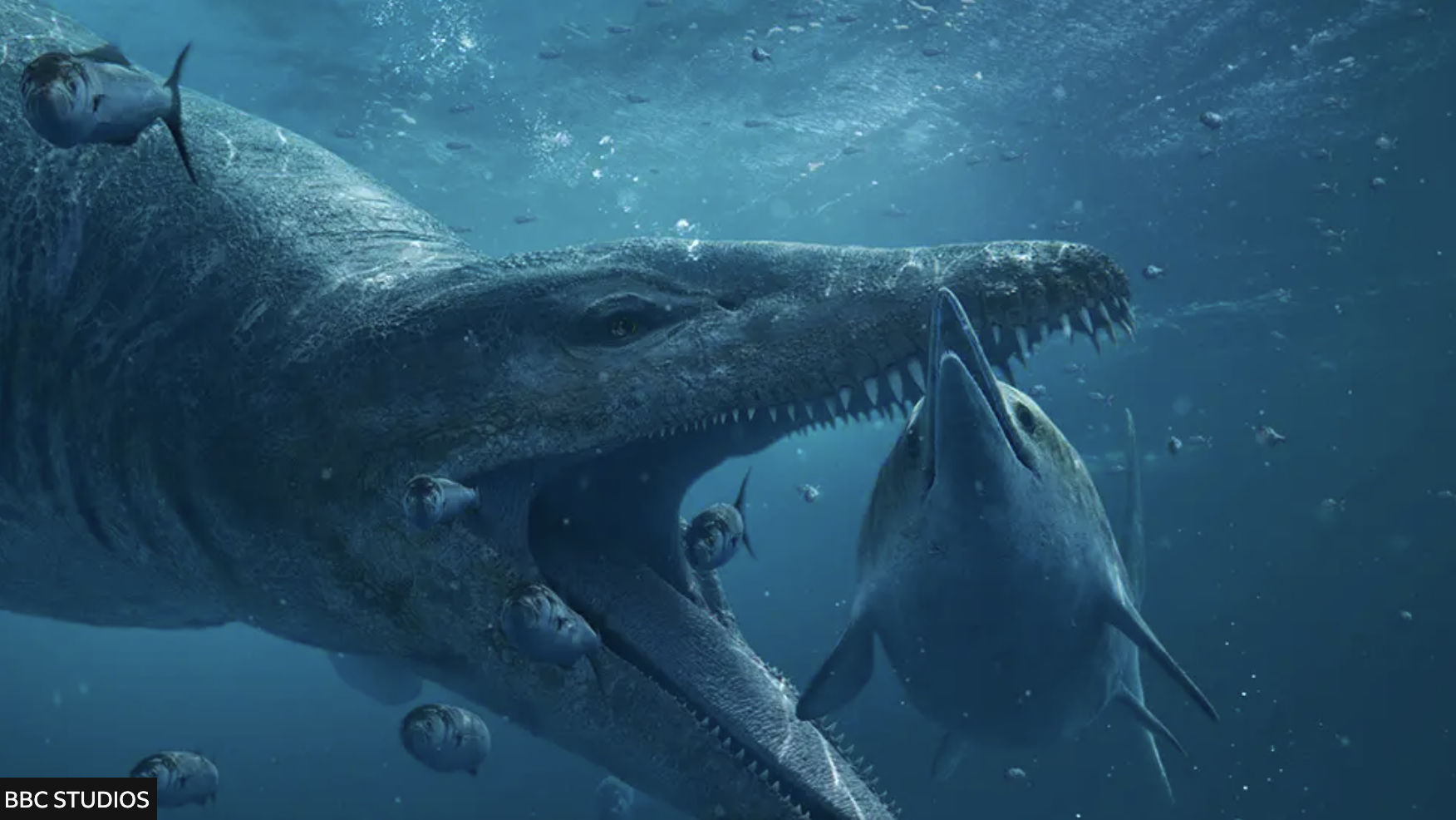
They say everyone remembers where they were when the BBC aired ‘Attenborough and the Giant Sea Monster‘ on New Year’s Day, 2024. ICYMI, it’s still on iPlayer and having watched it, you’ll realise the profile of the famously fossil-rich Kimmeridge cliffs along Dorset’s Jurassic Coast has been raised further. Come high summer it’s impossible to find a park at the local Sainsbury’s.
Attenborough and the Giant Sea Monster – on BBC iPlayer last time I looked
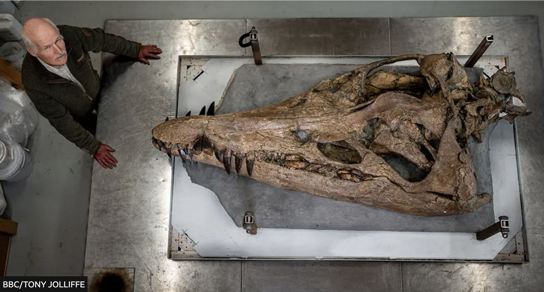
The story goes that in 2022, fossil enthusiast Phil Jacobs was fossicking along a difficult-to-access beach at low tide when he discovered a huge, crocodile-like snout in the shingle (left). He contacted Steve Etches (below) at the nearby Etches Collection fossil museum in Kimmeridge and, long story short, a two-metre pliosaurskull was laboriously excavated from the friable cliff-face from which the snout had dropped. The BBC and Attenborough recorded it all as over months, the skull was painstaking restored and primed to go on display at the Collection the day after the documentary aired. Good article.
Steve Etches dwarfed by the massive pliosaur skull
I’d visited the usually deserted museum over Christmas a week earlier, finding another similarly huge pliosaur jaw and many other amazing marine fossils on display. Returning on a stormy January 2nd after the broadcast, the place was packed with curious visitors blithely ignoring the ‘No Photos’ edicts right under Steve Etches’ nose. Since then the Pliosaur has been rebranded as the ‘Sea Rex‘.
Smedmore Estate signs at Kimmeridge Bay (left) warn against doing many things, including fossil hunting, and yet the museum has a video on how to do this safely. So I wondered how permission worked in the technically ‘neutral’ or Crown-owned intertidal zone (ITZ) where the fossil-rich Kimmeridge Ledges lie, and further east where the snout was found. A member of staff explained that protected SSSI status (see map or below) extended into the ITZ (as it might do for coral reefs) and Etches, a local man with decades of fossil collecting behind him, is the only person with permission from the Smedmore Estate (who help fund his museum) to excavate fossils, presumably in the cliffs fringing their land above the ITZ.
Kimmeridge SSSI includes ITZ
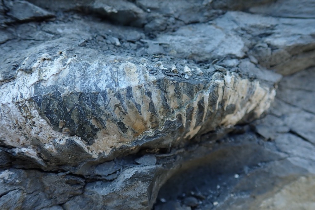
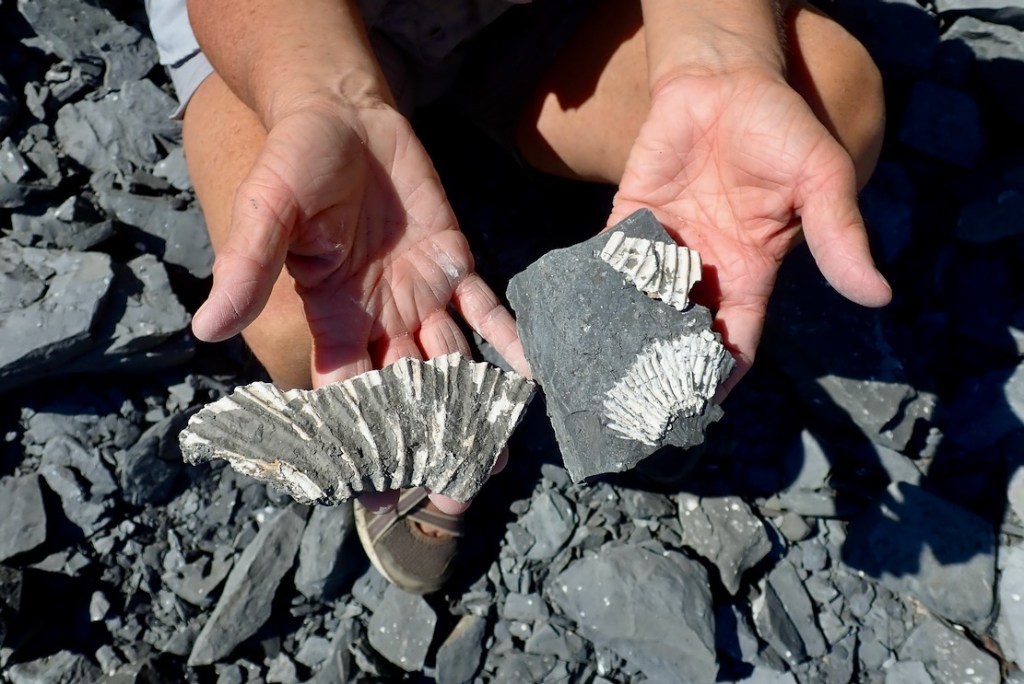
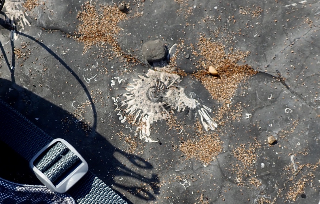
Perhaps finding tiny, loose fossils while beach combing is tolerated. When I was packing up my packraft the other day at Chapman’s Pool, I flicked off a wet flake stuck to the boat and could swear it was a thumbnail-sized ammonite fossil, DoB: 150,000,000 BC. I tried to find it among the shingle, but the fast-rising tide was lapping at my feet, so it got away. Another time down at Chapman’s (below left), the geef easily found a curl of ammonite shell the size of a thumb. Ammonites embedded in the exposed grey bedrock are everywhere (above left).
Chapman’sPart excavated Dogosaurus
Like many who know the area, I was curious to know exactly where the fossil was found – or more accurately, solving the geo-locating challenge was a bit of ‘Wherewozit’ fun. Not surprisingly, the location was conspicuously absent from mainstream reports, but within the first minute of the BBC doc the excavation site is shown, and a couple of minutes later, snout finder Phil Jacobs’ shaky phone video pans past a waterfall in the background with a limestone wall bridging it (more below), and a mention of ‘east of Kimmeridge’. Ah Ha! The waterfall appears again in the BBC doc, so all in all you don’t have to work for GCHQ to pin down a possible location.
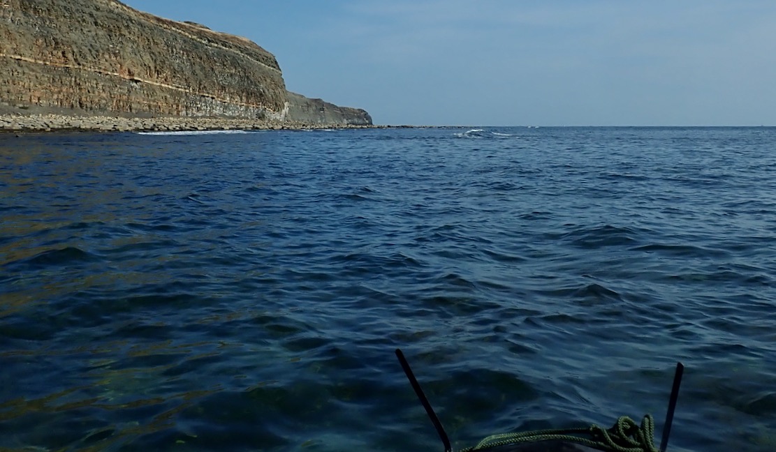
Fast forward a year and I finally got to paddle past what looked like Punta Pliosaurus on my way to Chapman’s from Kimmeridge. Beforehand, I’d wondered what would be there: disingenuous ‘Danger, Keep Away, Loose Cliff’ signs, evidence of excavation to retrieve the rest of the megafish’s body, or a huddle of day tourists from Swanage?
BBCPunta Pliosaurus?
Although a late-afternoon sun was casting a shadow across the cliff (above right), all I can say is, assuming I’d got the right place, they’ve done an superb job of disguising the excavation of the pliosaur skull and restoring the cliff’s natural appearance until they get a chance to come back and finish the job. That said, a couple of weeks later a regular walker who knew the story here thought natural processes had quickly obliterated the excavation but either way, once done, they’re gonna need a bigger display case. Meanwhile, something else above the beach had caught my eye. More about that here.