Tag Archives: river frome

There’s Wind in the Willow

The short run between Kimmeridge Bay and Chapman’s Pool was on my pack list, part of what remains to packraft between Weymouth and Poole. St Alban’s Head near Chapmans, and Durlston Head near Swanage will need ideal conditions as there’s virtually no getting off anywhere in between, so they will have to wait.

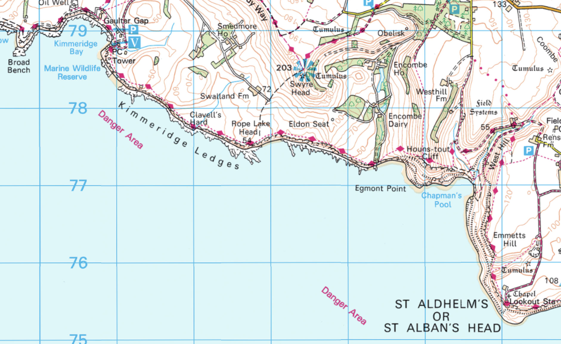
A quick look at next day’s wind and tide put Kimmeridge broadly in the ballpark. High water 10am at Chapmans receding east, helped by a 10-12mph easterly. Ten is my self imposed limit for packing at sea so it felt a bit sketchy, plus it would be a hot walk with the boat back to the car near Kingston. It feels more than the forecasted mid-20s around here right now.
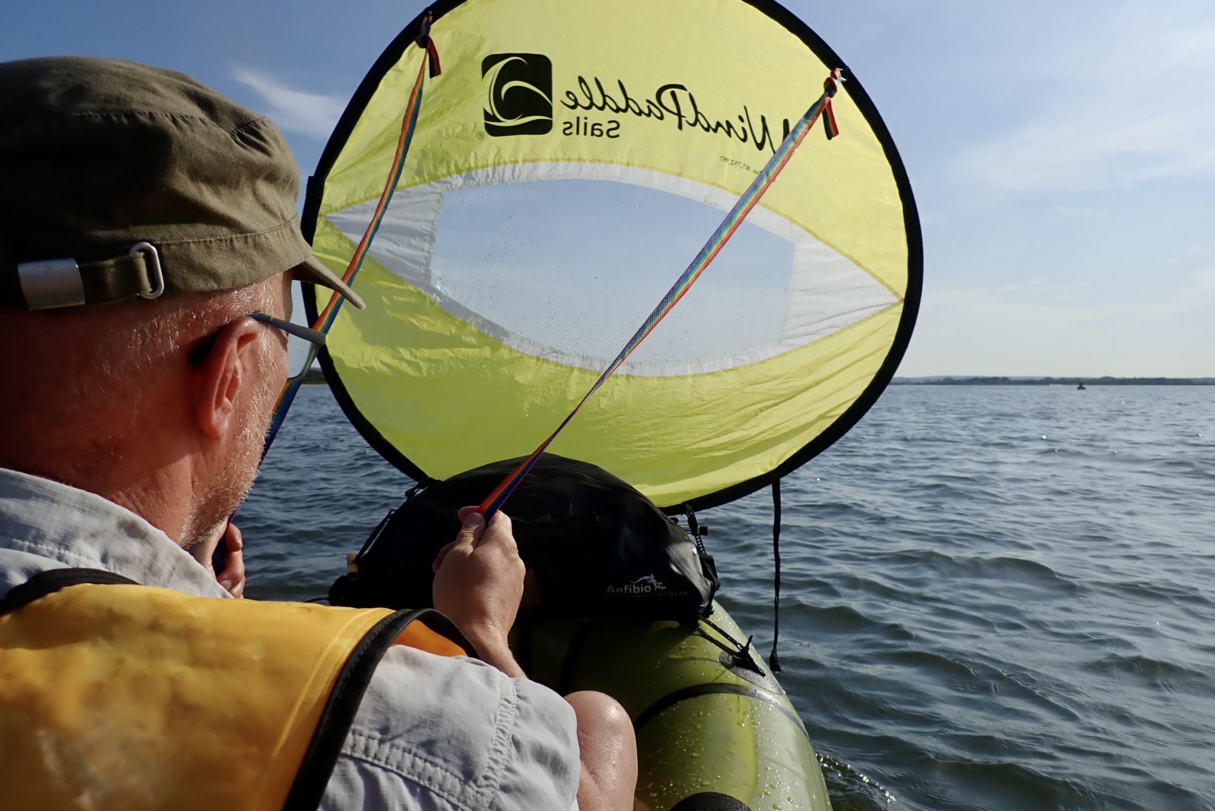
I was also unsure what the Kimmeridge Ledges do in such conditions, other than force you away from the shore. It was all a bit hot for an otherwise sensible clifftop recce from Kimmeridge car park to Chapmans’ with the boat, to gauge the sea state below. I’d have to carry loads of water too, as the springs trickling into Chapman’s Pool are probably minging with farm run-off. But whatever happened, it would sure be a sporty ride to Kimmeridge clutching the sail like something out of Roadrunner.

There’s a wind in this willow

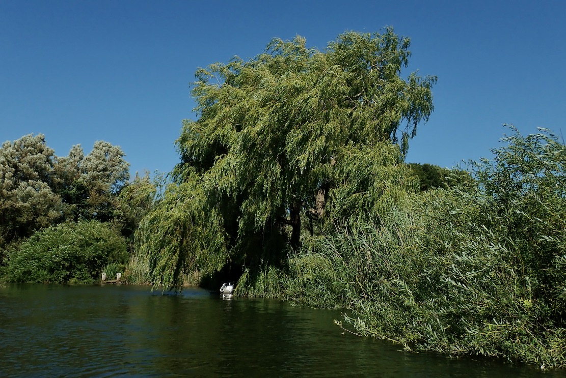
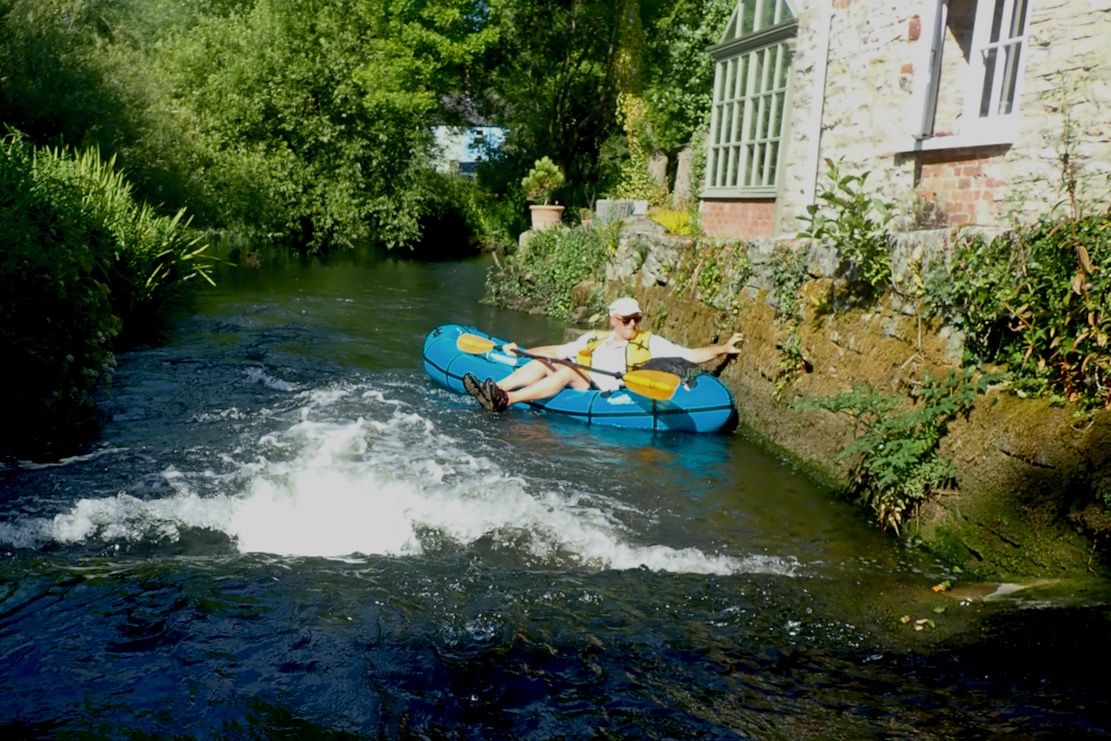
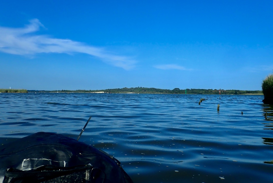
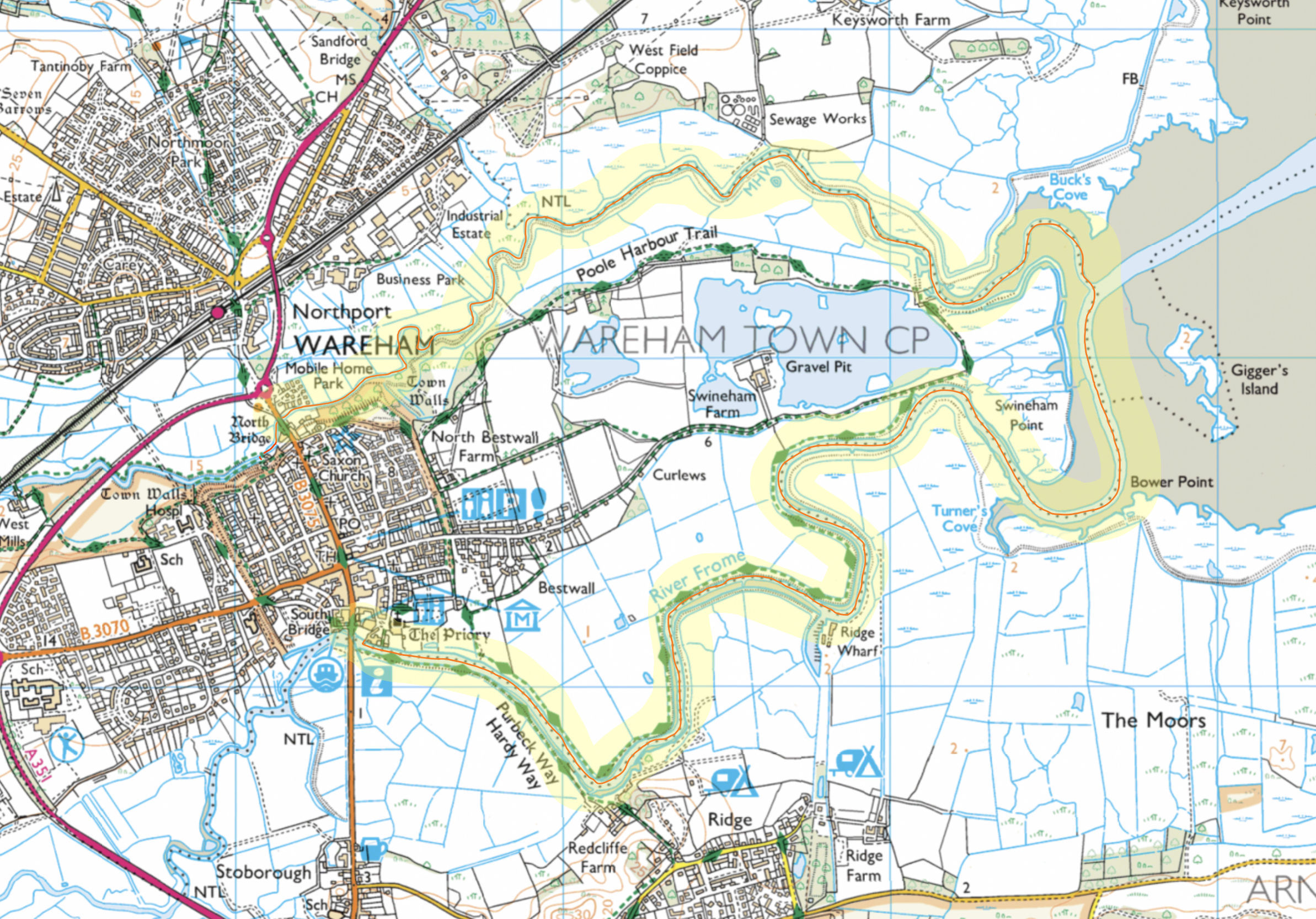
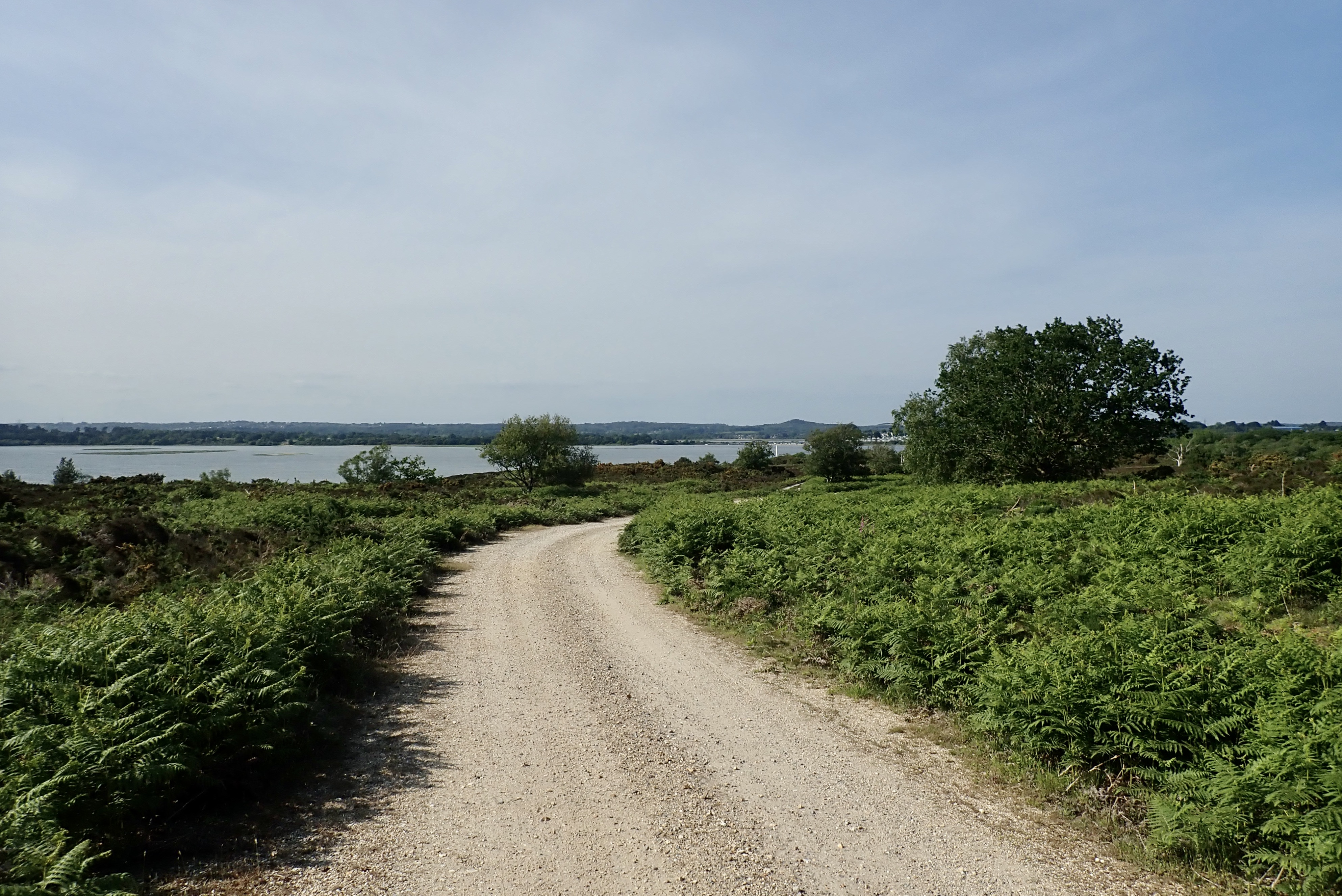
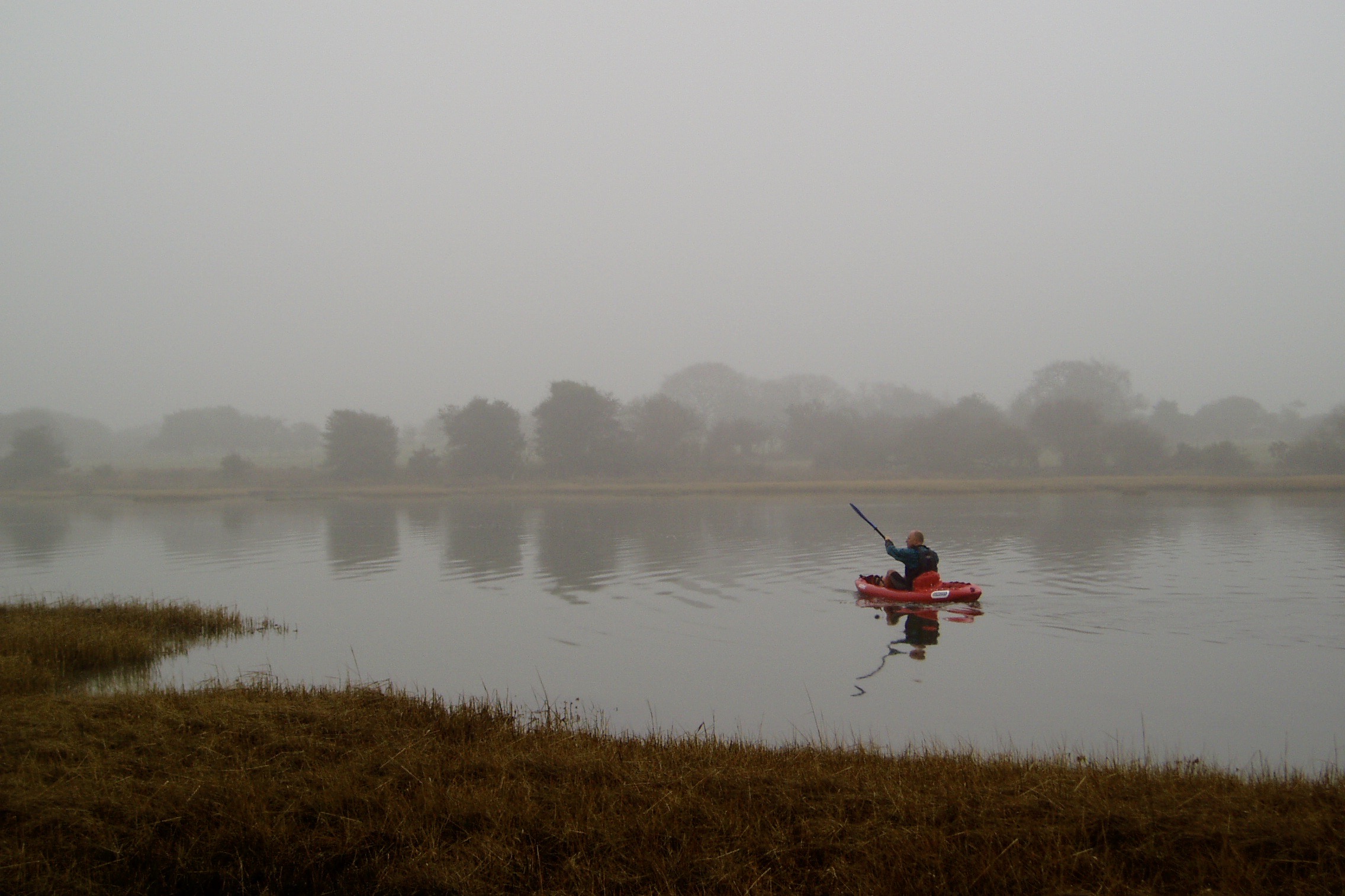
Came the early morning I let myself off and decided to paddle upriver from Wareham instead. I’ve not been up there either. I left the quayside ducks around 9am, and passing the already swaying riverside willows confirmed I’d made the right choice. Ten-12mph predictions are always more in my experience, and they say easterlies off the continent are more gusty. Six to 10 with a tide would be more like it, alone in a packboat.

Tagged by the Wareham RiverBanksy

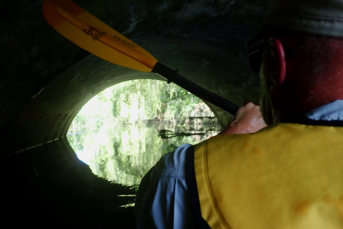
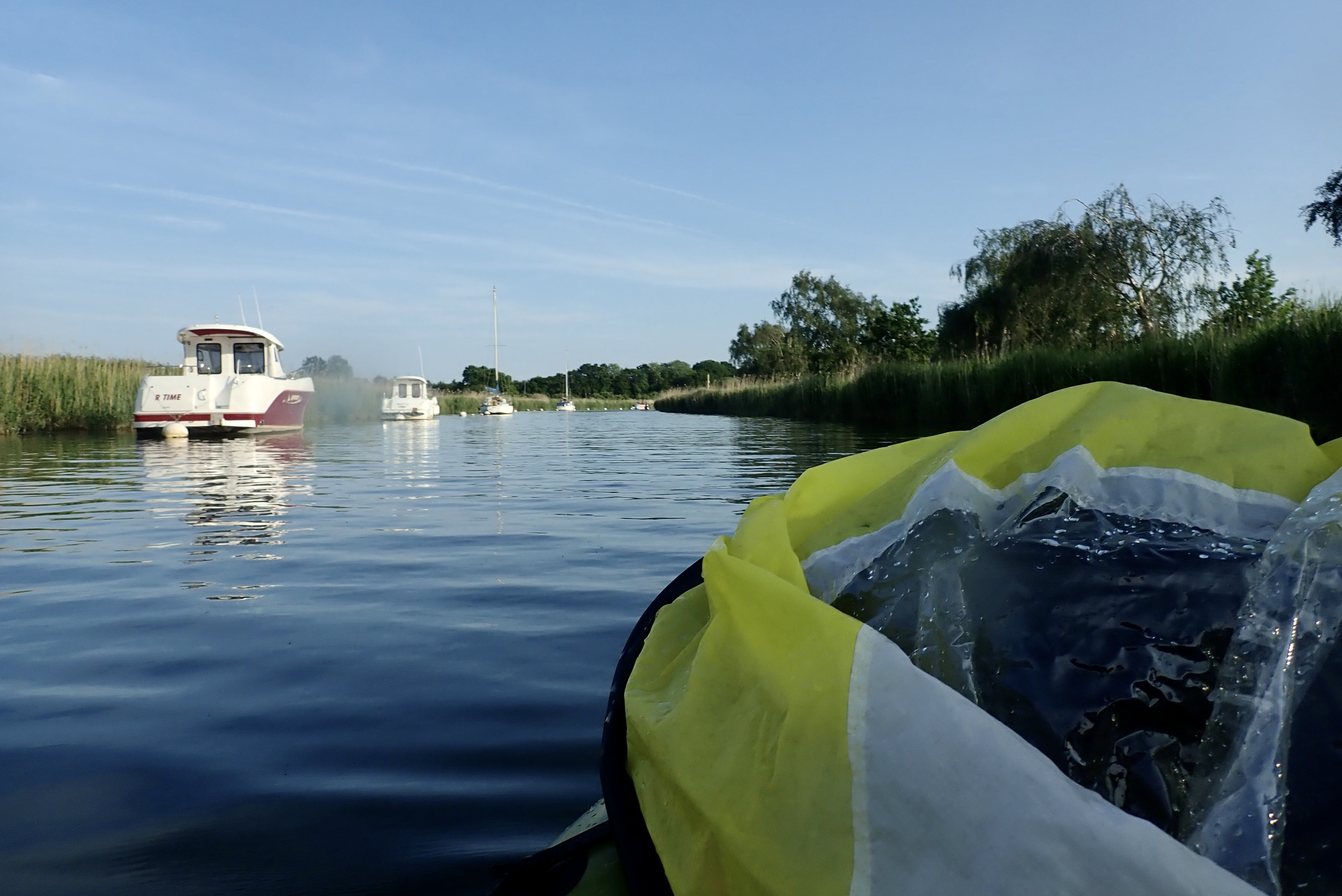
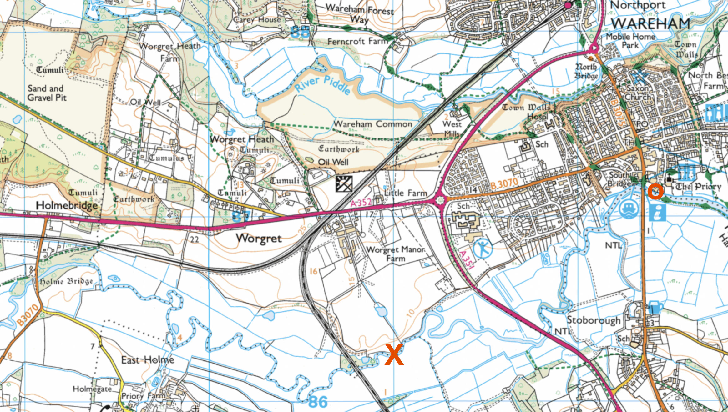
The Wareham tide and wind were with me and reaching the A35 bypass bridge (left) – the tidal line according to the OS map – I expected a big, ‘Paddlers Turn Back!’ sign, as rental SoTs and SuPs venture up this way.
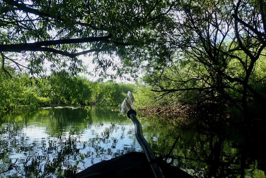
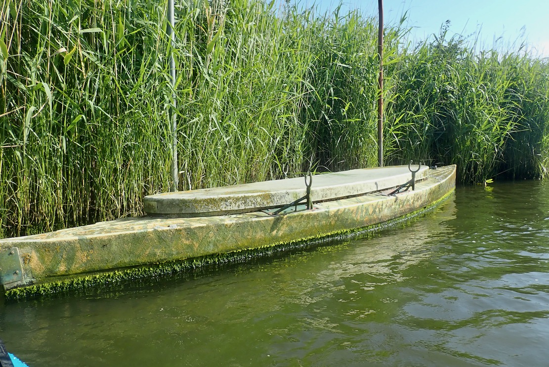
No sign, so I had an excuse to carry on in ignorance until I got either shouted at or the Frome’s current got too strong. As it was, the riverbanks hereabouts were still thick with reeds, making angling without a periscope difficult. Further up nearer Holmebridge was angling country.

Frome meander from O to X and back to O

The river meanders like rivers do, covering double the distance as the gannet flies, so at some points I was into the wind which was now bending the trees. A good time not to be hanging onto the WindPaddle while launching from one Kimmeridge ledge to the next.
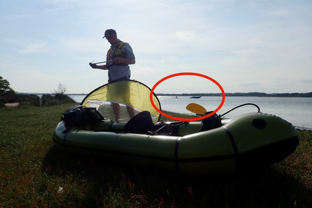
Up ahead I could the vanside banners fluttering briskly at the annual Volksfest campsite (below) whose music we can hear until nearly midnight.

Turns it down, volks

I wondered if I might make a run through the water meadows to Holmebridge, but by now the incoming tide had dissipated and I was against the Frome’s rising current.
That would better done as a stealthy dawn mission, but I felt I’d seen enough of the inland Frome, so I flipped round and enjoyed the cooling breeze in my face back to Wareham town.

Wareham Quay

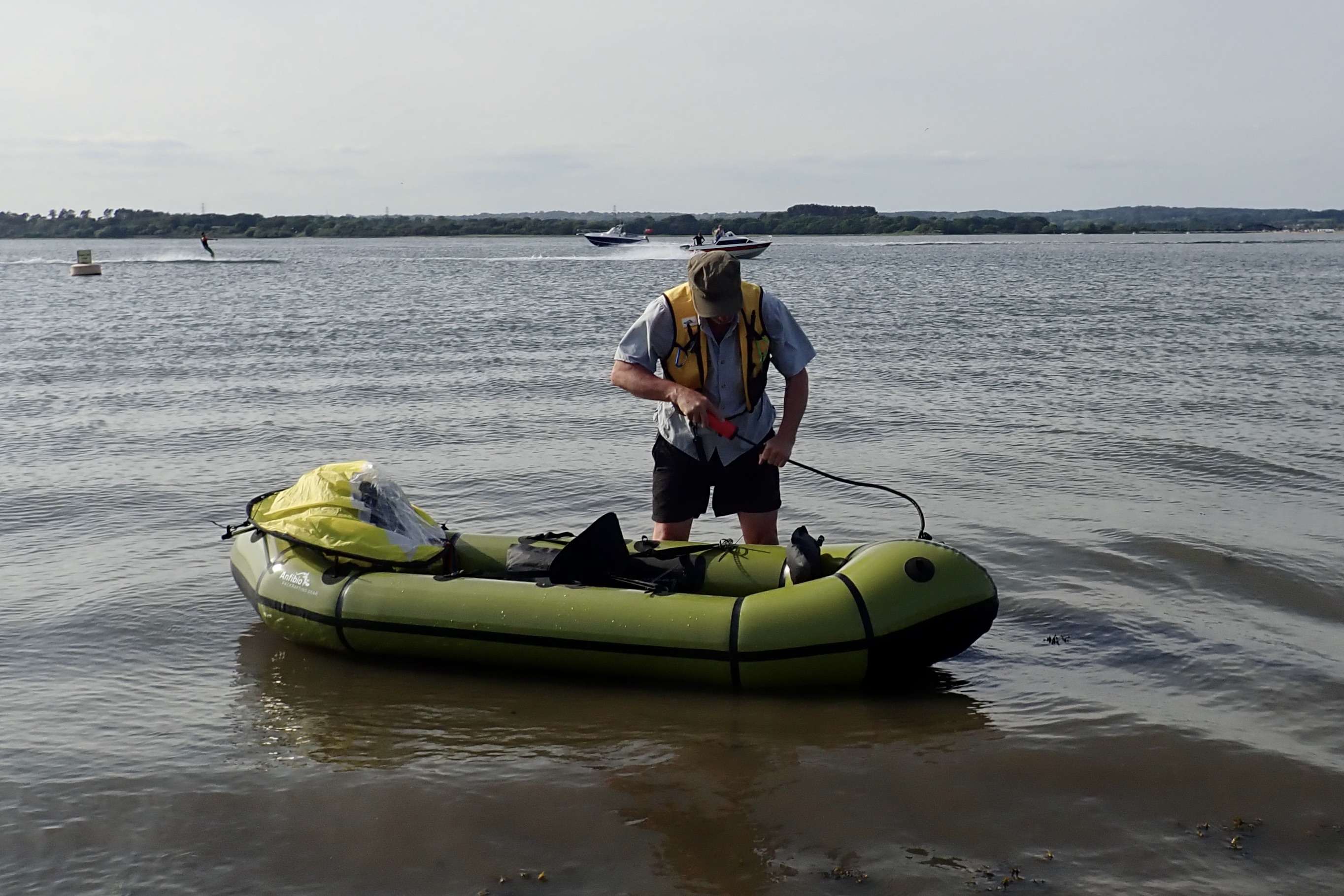
It was a short, easy paddle so I’d not bothered checking the tides, but back home I was curious to know how Wareham – tucked right at the back of Poole Harbour – compared with Kimmeridge out in the Channel. Taking out at Wareham Quay around 10.15, the tide looked nearly full and had turned 30 minutes ago at Kimmeridge.

BBC tide

But the BBC (above right) which I usually look at first appeared to be hours out. According to their graphic (left), after I got out at 10.15 the river would rise another 800mm in the next 3 hours, flooding the quayside carpark a foot deep! tideschart.com, which I also refer to, showed identical times for anywhere in Dorset, so it (or my computer, or as likely, me) needed a cooling drink in the shade.
I deleted tideschart.com bookmark and found dorset-tides.com (above left) which gave a more plausible Wareham High Water about 90 minutes away (11.46). These are all BST, but this is the first time I’ve noticed such an anomaly. Both claim to use the UKHO. Only the BBC matches UKHO data, while seeming to be way out on the water. Today is the peak of the spring tides and maybe the east wind pushed Poole Harbour’s mass up the Frome a bit more than normal, but that’s not what a tide table can predict.
Meanwhile I wait for a fair wind at Chapman’s.

Taking the Piddle: Wareham Two Rivers Loop

TXL main page

Wareham – between two rivers
Frome Safari 2005

You do one paddle in two years then do two in a row. Honestly, you could not make this up! Take the Saxon walled town of Wareham – wrested back from the beardy Viking hordes by King Alfred in 875. It sits snuggly between the tidal reach of two rivers: the Frome to the south, and the smaller Piddle (aka: Trent) on the northern edge.
East of Wareham there’s a Two Rivers Walk which more or less replicates this paddle: down one river and up the other. I’ve paddled up and down the Frome loads of times. In fact 20 years ago last week I wobbled along the Frome in my very first IK – an early Gumotex Safari (left) that was tippier than a hog on ice.

The Piddle flows below the northern remnants of the old Saxon walls, and I’d long assumed it was clogged, weir-ed, patrolled by angling militias or otherwise inaccessible to the recreational paddleur. Not so, said our paddle-boarding builder who ID’d a put-in near the pre-Norman church of St Martin’s on the Wall, the oldest in Dorset. I recall checking it out in the 1990s while updating a UK guidebook, looking for the tomb-like effigy of T.E.Lawrence (left) who was died on his motorbike up the road at Bovington.

We walked down a private drive/footpath to North Mill (above; a self-catering) and put in by the brick bridge (left). It felt like their front garden, so next time I’d cross the bridge through the gate and put in somewhere on the north bank.
It’s a brambly, 3-foot drop either way into the swift but foot-deep Piddle. Piddle is of course a Naughty Word, so I should not bandy it about, willy-nilly, but in the ancient Saxon dialect of Dorse, it means a small stream. Along its upper course, several west Dorset villages: Tolpuddle, Affpuddle, Piddlehinton Puddletown, Mein’dapuddle and Piddletrenthide, take their names from it. (Test: one of those names is made up).

We left about 4 hours before HW at Wareham so we’d be against the tide (and a SE wind) as we neared Poole Harbour, but later have both at our backs as we heaved wearily up the Frome back into town.

Below the bridge the old mill weir was easy to walk down (to spare the skeg). It’s not always so; sometimes the water meadows here get inundated. I bundled in and held on while the Mrs caught up. Once in the boat we felt like kids wearing oversized trench coats. I’d forgotten that when not using the Multimat floor (which makes less space inside when two-up) you inflate the seat bases right up. That done, we navigated down an overgrown channel, dodging overhanging branches and other rampaging midsummer verdure.

Soon we passed under Wareham North Bridge and its famous 18th-century sign strongly discouraging bridge vandals with a life sentence to Botany Bay. 

We paddled through a hidden world of drooping willows and silent lilies. At times it all closed right in and we were pushing and pulling through the dense overgrowth and branches, while getting pelted by dropping insects.

The detritus of bawdy summer parties.

Gradually the Piddle opened out. Somewhere around here we reached the tidal reach and entered a dreary, reed-lined corridor. The pace slowed down as tide and wind pushed against us.

Near Poole harbour a few of these old rowing canoes caught my eye. They looked like something left over from D-Day training. Or maybe just long unused fishing club water craft. Anyone know more? Waterfowl punts I hear from the back.

Out in Poole Harbour the water was less than a foot deep so we aimed for the red and green deep channel markers leading south to the mouth of Frome. Up ahead, the Arne peninsula. We turned into the Frome and the long hack back inland began. Even with a backtide, the Frome meanders to all corners of the compass so at some points you’re into the wind. Thick reeds to either side make you wonder how you’d get ashore if the call to abandon ship was announced.

A nice red boat – a sloop perhaps?

Paddling onwards, energy levels were also beginning to sloop, but we finally pulled in at Wareham Quay where early evening revellers were feeding the ducks. Originally bequeathed to the town by Alfred the Great following his expulsion of the Norsemen, a Purbeck legend has it that should the ducks ever leave Wareham Quay the kingdom will fall.
It was fun to try something new, but we’d not rush back to do the Wareham Two Rivers Loop.

Down the Piddle, into Poole Harbour and up the Frome to Wareham Quay. 8.5km and about 3 hours

Back home disaster struck me down. As anticipated, my Anfibio handpump’s vulnerable handle snapped off in transit. Anfibio revised the pump by making a screw-off handle (below right), but mine was the old type.
A new one is £15 posted in the UK so I bodged mine by simply gluing and cable-tying the hose directly to the shaft, then adding a bit of garden hose to make a hand grip while pumping. Assuming it lasts, it ought to be much less snap prone. You can’t buy this type of balloon pump on eBay any more, but I found a smaller ball pump for 6 quid (left) which could be as good with the black adaptor modified. We shall see. Every inflatable needs a pump or two.

Packraft Sailing Poole Harbour

Anfibio TXL Index Page
See also: Sailing Across Poole Harbour (IK)

Of all the zones in all the world…

Holy moly, end of May and first paddle of the year? It’s been a busy winter and the arm’s been playing up so time to break in with an easy packraft across a back corner of Poole Harbour, our locale for the summer.
Sailing Russel Quay back to Wareham with the tide and the wind sounded like a good one – a mile’s walk + 5 on the water. Although it clashes with our hitherto pristine eco credentials, we have two cars down here, so we leave one in town and the other at Arne.

Teetering on the edge of Open Access land.

This whole area south of the Harbour is a largely undeveloped heathland with rare wildlife and part of an RSPB ‘super reserve’. On the day the famous BBC Springwatch crew were installed for a fortnight or more, motion sensing cameras probing various nests and burrows. Thick power cables lined our track leading up north to the put in near long gone Russel Quay. I’m not fully sure it was a right of way. Dodging irate English Nimbies is going to take some practice after the freedom of the Scottish northwest coast we became accustomed to.
But ironically this area also has the biggest knot of land-based oil wells in western Europe. They’re the small, nodding donkey type, not towering rigs but a couple of months ago one of the pipelines sprung a leak in Ower Bay near the processing plant on the less accessible south shore. Luckily it wasn’t an Exxon Valdez event and at higher tides there could be some good packboat exploring in this inlet-rich area. It’s all we’ll have here bar the more exposed Jurassic Coast.

Not exactly the Summer isles, but it’ll have to do. You don’t get a May week of 20°C+ and full sun up there.
I try to remember what to do and in what order.
Note the water skier. With my typical ‘let’s-wing-it’ lack of due diligence, we’d stumbled on one of the few ‘PWC’ zones on Poole Harbour. (The link’s map is missing but may be what’s at the top of the page.)
Well, stood at the shore it looked like a good north-easterly for a while.
OMG, more menacing water-hoons! It’s a bank holiday Sunday and turns out we were right on their sole permitted skiing corridor. RTFM!
Once on the water there’s barely enough wind to blow out a scented candle from Purbeck Handicrafts.
But according to the GPS, paddling most of the time we did momentarily zip along with the tide.
As it is, tides in the Harbour have quite a prolonged high water period which will be useful. This is a spring tide in a few days.
We should have just cruised close to the shore where motorboats fear to tread. Next time we’ll know.
Near Gigger’s Island we pass a motionless hardsheller, like a heron deep in thought.
Without my GPS, first time finding the Frome river entrance would have been tricky.
Soon impenetrable reeds line the banks, our speed drops and pot-bellied boaters cruise by at 4 knots.
I can see this 2.5-mile river stretch might soon become a chore at the end of a long paddle and an ill tide.
Never get out of the boat? We couldn’t if we tried, but near the river mouth there’s a small jetty and a track back to town. Good to know but with an IK, I’ll need some wheels.

That night we catch a bit of Springwatch on the iPlayer but, as expected, I can stomach the hyper-saturated, happy-clappy ‘Phil & Holly of Wildlife’ for only so long. It’s the final finale of Succession – what are we waiting for!?
A probing bike recce of the south shore is needed. More Poole Harbouring to come.