See also:
The Bradford-on-Avon Loop
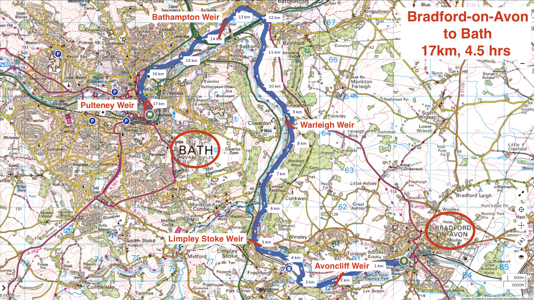
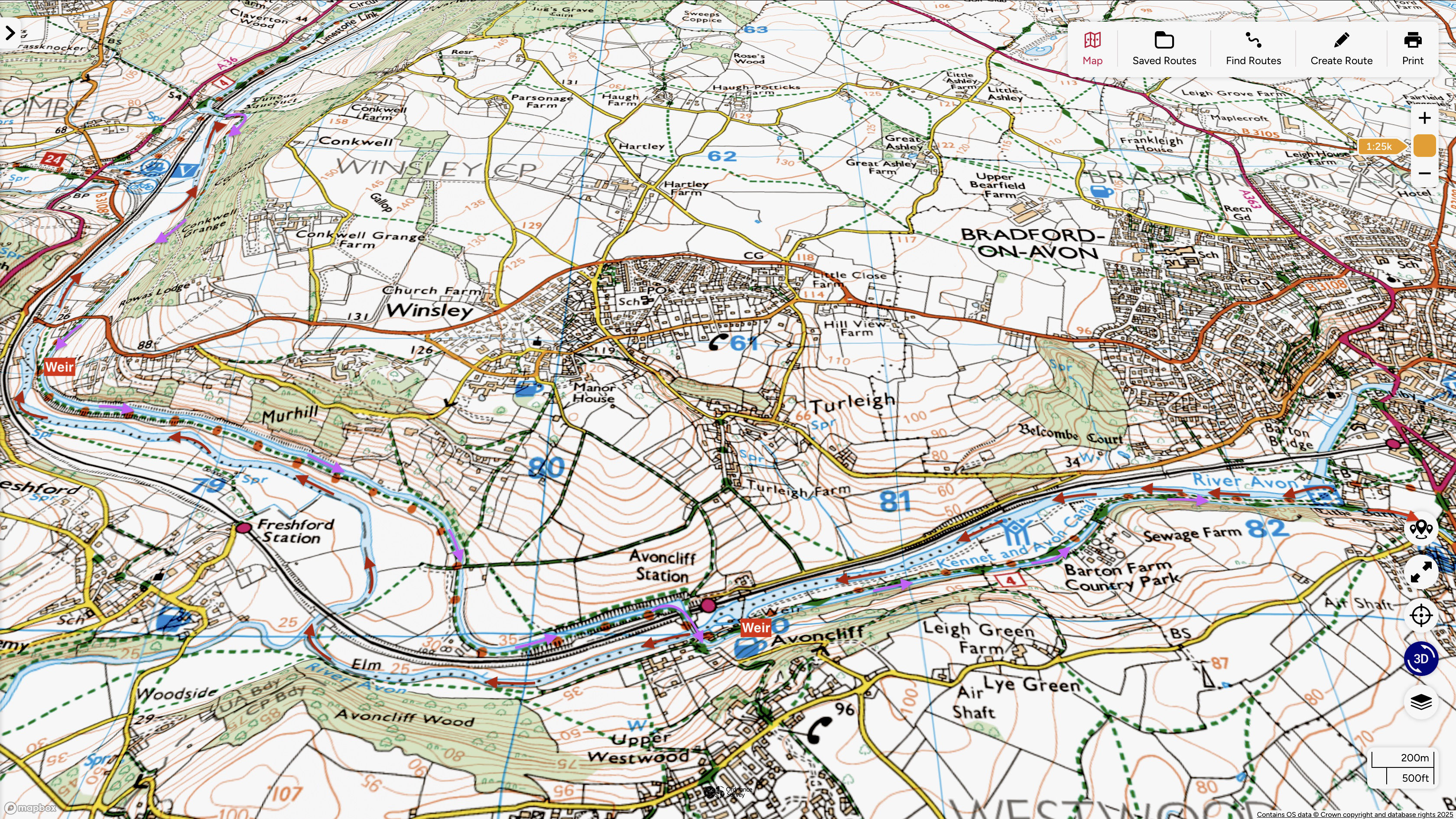
Returning home from a week’s e-biking in Wales took me right past Bradford-on-Avon (BoA), a good chance to paddle the River Avon again, but this time the full 17km to Bath via five weirs. Last year I did the shorter loop from BoA, returning via the Kennet canal which runs alongside- and even crosses the river via a couple of aqueducts. Back then I thought the river was the far more agreeable paddle.
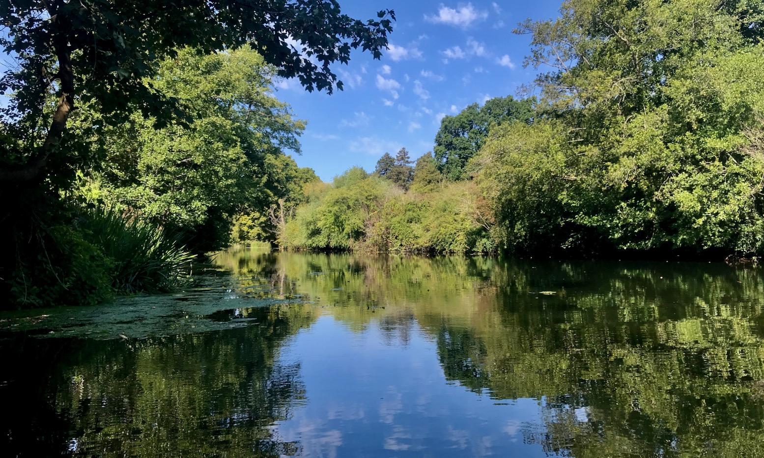
We were midway through the 2026 summer’s fifth heatwave, with up to 35°C forecast in Bradford. I wasn’t sure if paddling was a good idea but hoped the shady Avon would be a few degrees cooler with added splash to hand. I also assumed river levels may be much lower than normal, with water diverted to keep the canals full. In fact the Avon’s level was the same as last year, if not a tad higher. Perhaps the exceptionally wet winter filled the aquifers right up to get through the summer drought.
Again, I tried to buy a day pass as mentioned here, but the volunteer at the C&RT canalside gazebo in BoA hadn’t heard of such a thing and advised I just go an enjoy my paddle. Looking later online, I still couldn’t fathom how to buy a C&RT day paddle pass for the Avon.
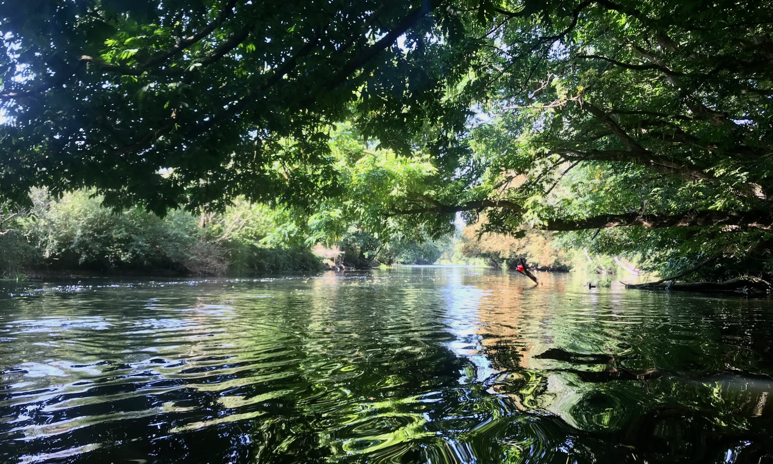
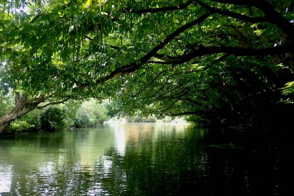
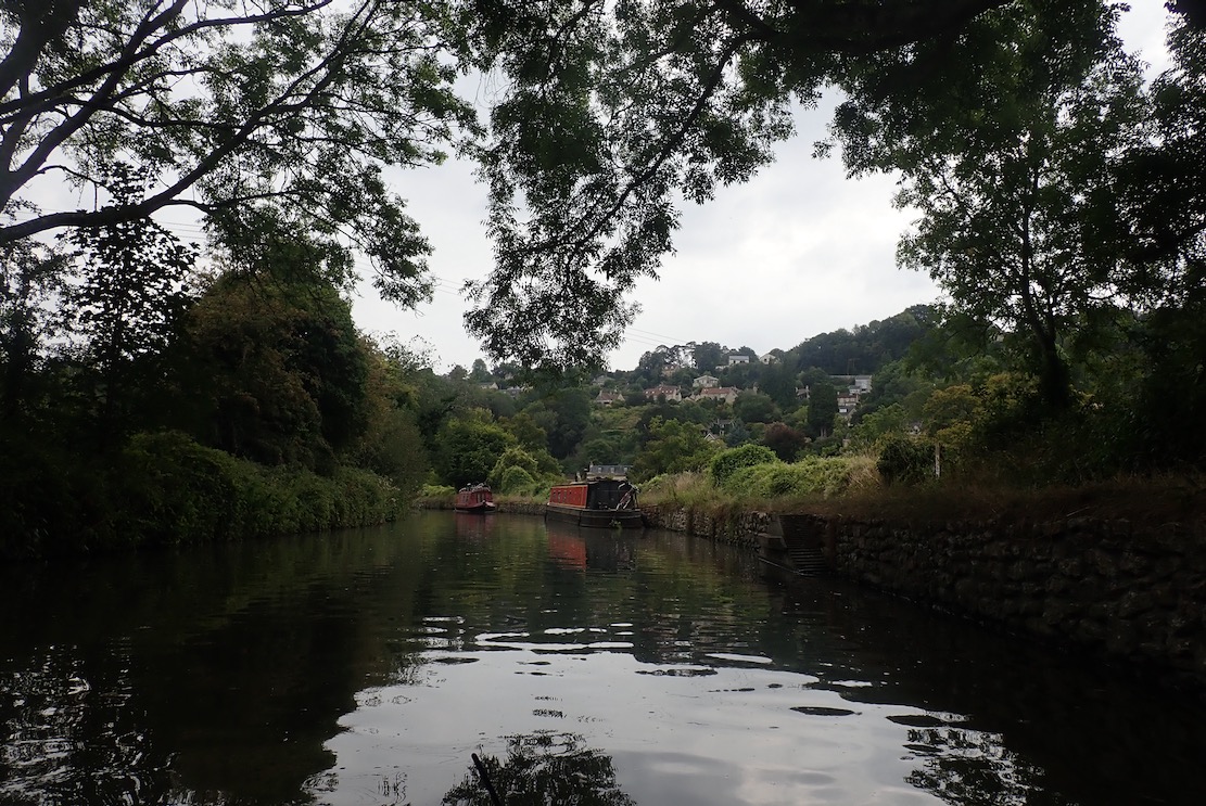
As before, I put in below the 14th-century Barton Bridge. All around seemed much less busy, as if people were staying indoors on very hot days, any activity being too enervating. I’ve known that feeling this summer. Soon I was gliding under mature tree canopies which make this section of the Avon so appealing. No one else was on the water. An odd racket turned out to be the riverside train chugging unusually slowly from Bath towards Bradford. I planned to be on that train in a few hours to see where I’d paddled from.

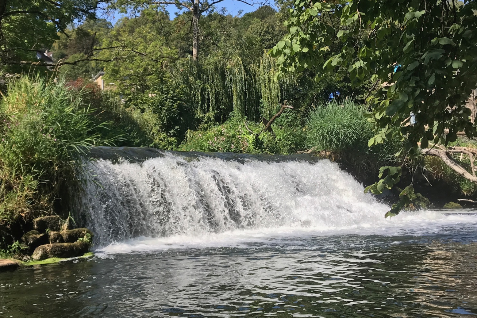
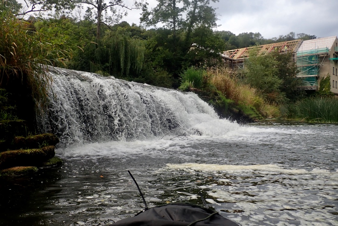
I eased the boat over Avoncliff weir (above left; KM2), the easiest on this stage of the river, then worked my way out through the thick weeds and reeds under the aqueduct. That led to the steeper Limpley Stoke weir at KM5 (above right), where I noticed a nasty rebar rod right below the awkward portage point.
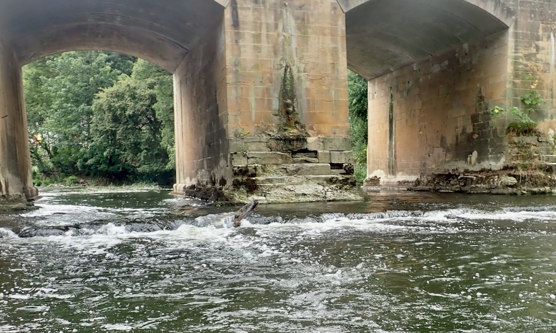
Looking at the weir from below, it might be possible to accelerate off the river-right side of the wider, 4-foot drop (above right), but we know how that can end, even without hidden rebar.
A plain old steel canoe chute as found on the Tarn in France (left), would be so easy to install. But chutes, far less paddleboat-friendly portages, are not what you find here, even before you get to the cruise boat reaches nearer Bath where canoe chutes and 6-m wide tourist boats doing U-turns might not be a great combination.


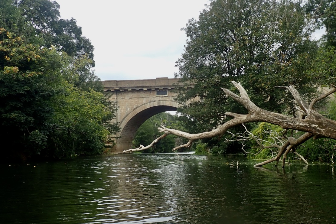
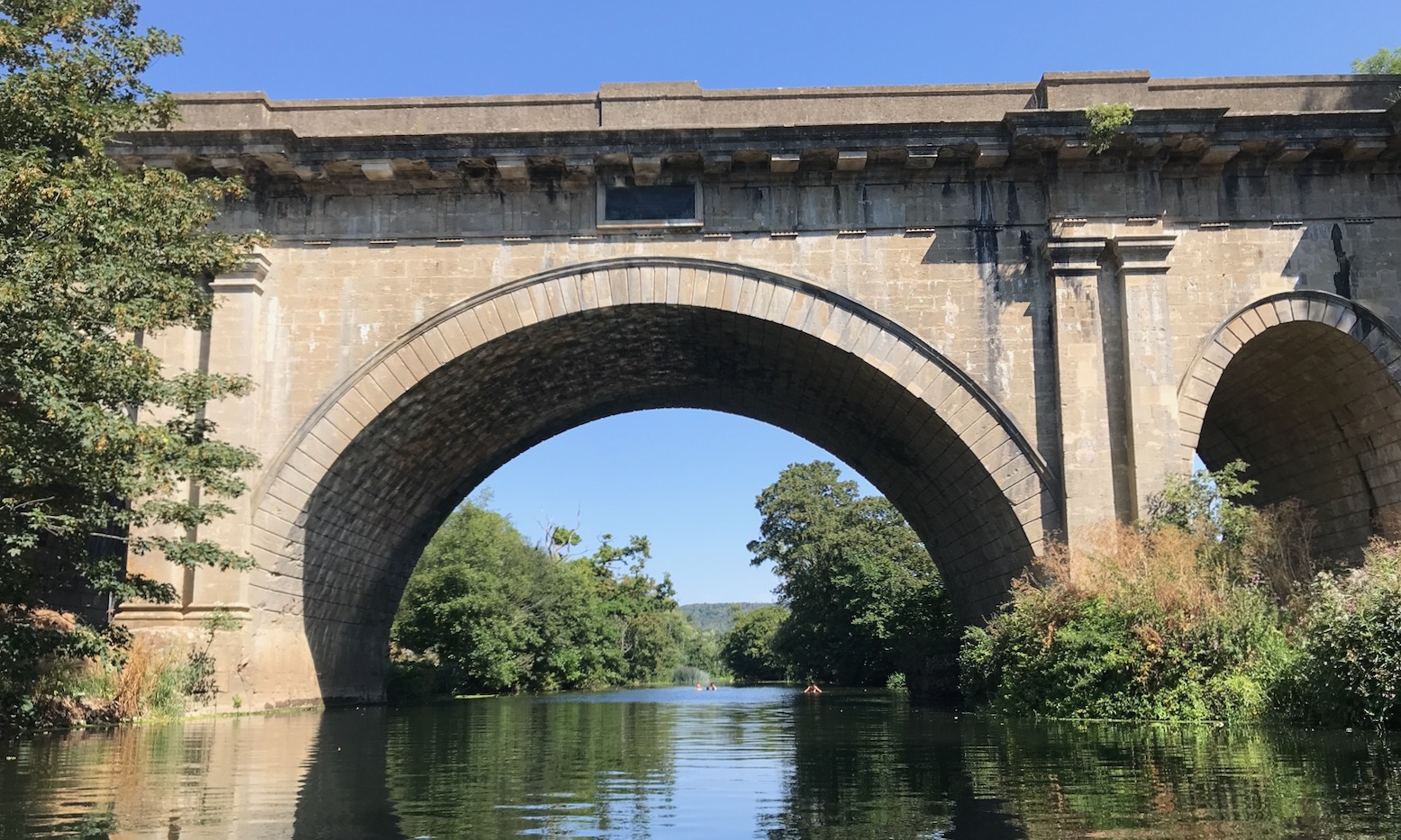
Soon after the Frome confluence the Avon turns north and the wind eased me through reed clumps and under shady banks. A few people were splashing about at the Dundas Aqueduct KM6.5 (below) where last year I climbed up and hopped onto the Kennet canal back to Bradford – a bit of a dogwater slog.
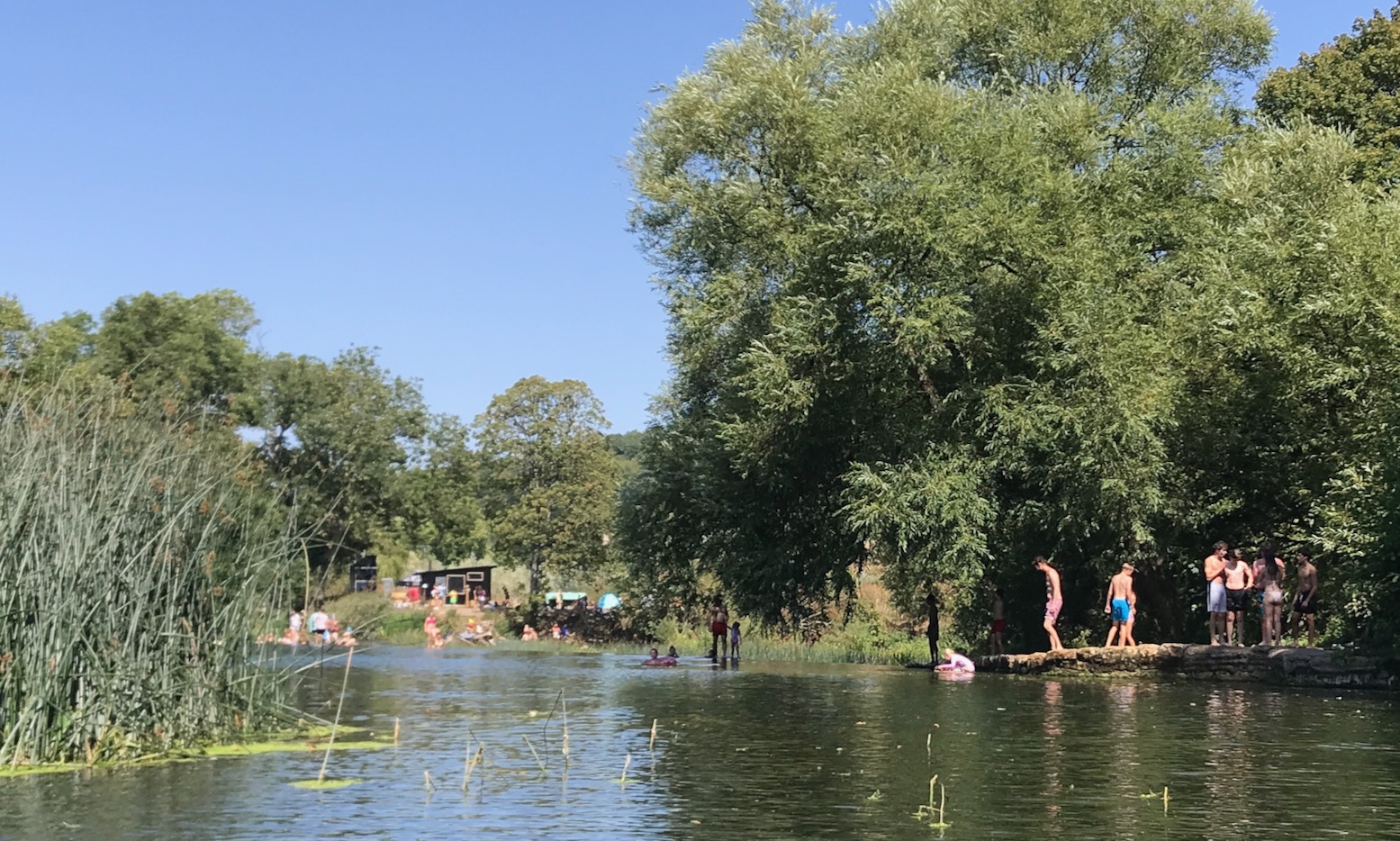
I checked the map on the tablet. Up ahead at KM8.5 was Warleigh weir (below), a popular bathing – sorry, ‘wild swimming’ spot which I heard before I saw. With temps in the mid-30s, this was a good place to pass the day. I should have tried to verify exactly where the best spot was to portage here, but looking online later I was none the wiser. Most of the talk was portaging between canal and river. But as long as there’s not a straight waterfall drop, it can be done anywhere, so I paddled slowly among the bathers towards the weir’s end river left, and dragged the TXL down the piled up rubble to the water; no helpful steps here.
Working my way out through more reeds, soon I was back on the deserted Avon. This really is one of the loveliest rivers I’ve paddled in England. Yes, 500-year old weirs interrupt the flow but other than that, it looks natural and feels like it’s not changed in centuries. Perhaps the absence of powered boats combined with awkward paddle portages help keep it that way.

Huge grey herons (above) lifted off like pterodactyls to make a short hop down stream, while cormorants dived under my boat. A couple of times the thick, grey-blue reeds became a bit of a maze and I had to haul myself through boat-wide passages. At one point I found myself squeezing just a paddle’s length from a pair of mute swans leading a troupe of fluffy grey cygnets and got a nasty warning hiss. I wonder what I’d do if attacked, though am pleased to read that swans ‘breaking your arm with a wing’ is a myth. It’s just the beak and clawed feet you’d want to dodge.

Out in the sun is was now baking and my water was running low. I took to dousing with river water and even took a glug. The toxic state of British rivers (above) has become a worry in recent years and must have affected recreational paddling following the Covid boom, but someone recently explained it takes a storm to mobilise nasty effluent run-off, along with opportunistic sewage discharges by the loathed water companies. So with no rain for well over two months, I figured the water was OK to drink. According to a Rivers Trust map, sewage-wise, this part of the Avon gets off quite lightly until you reach Bath.
I had a chat with a paddler in an old fibreglass kayak enjoying his retirement with a drift back downstream. I asked him about shooting the apex of Bath’s Pulteney weir which was my plan, but he explained getting out and pulling the boat over was the normal way to do it.
Later, I passed a group of ‘boarders glided by upstream, led by a kneeling woman using a kayak paddle.
‘That’s the way to do it; kayak paddle. Much easier.’ [if not standing] I could not help blurting out in a fit of unsolicited mansplaining.
‘Yep’ she said.
And to underline that point, another seated woman at the back of the group was struggling left to right with an overlong SUP paddle. It’s agonising to watch.
The Avon turns southwest near Bathampton, losing the shady banks and at times putting me into the hot wind. I was flagging, very thirsty and by now counting the bridges. The water dousing effect wasn’t really lasting.

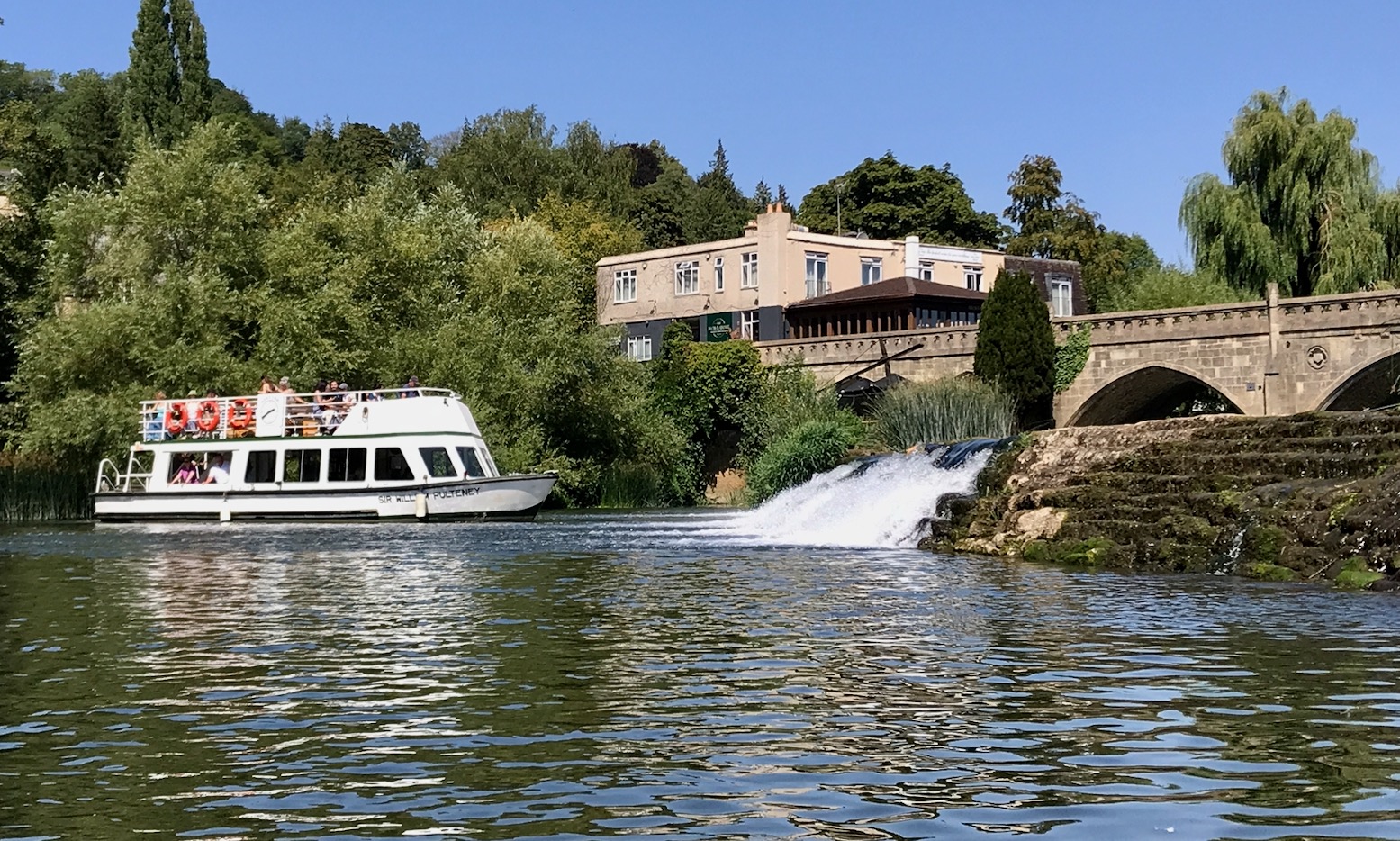
I’d also forgotten about Bathampton weir (KM13.5; above; below) near a road bridge, but heard the familiar rush of turbid water. I struggled with the boat down water-worn steps caked in dried weed, watched by a cruise boat doing a u-ey.
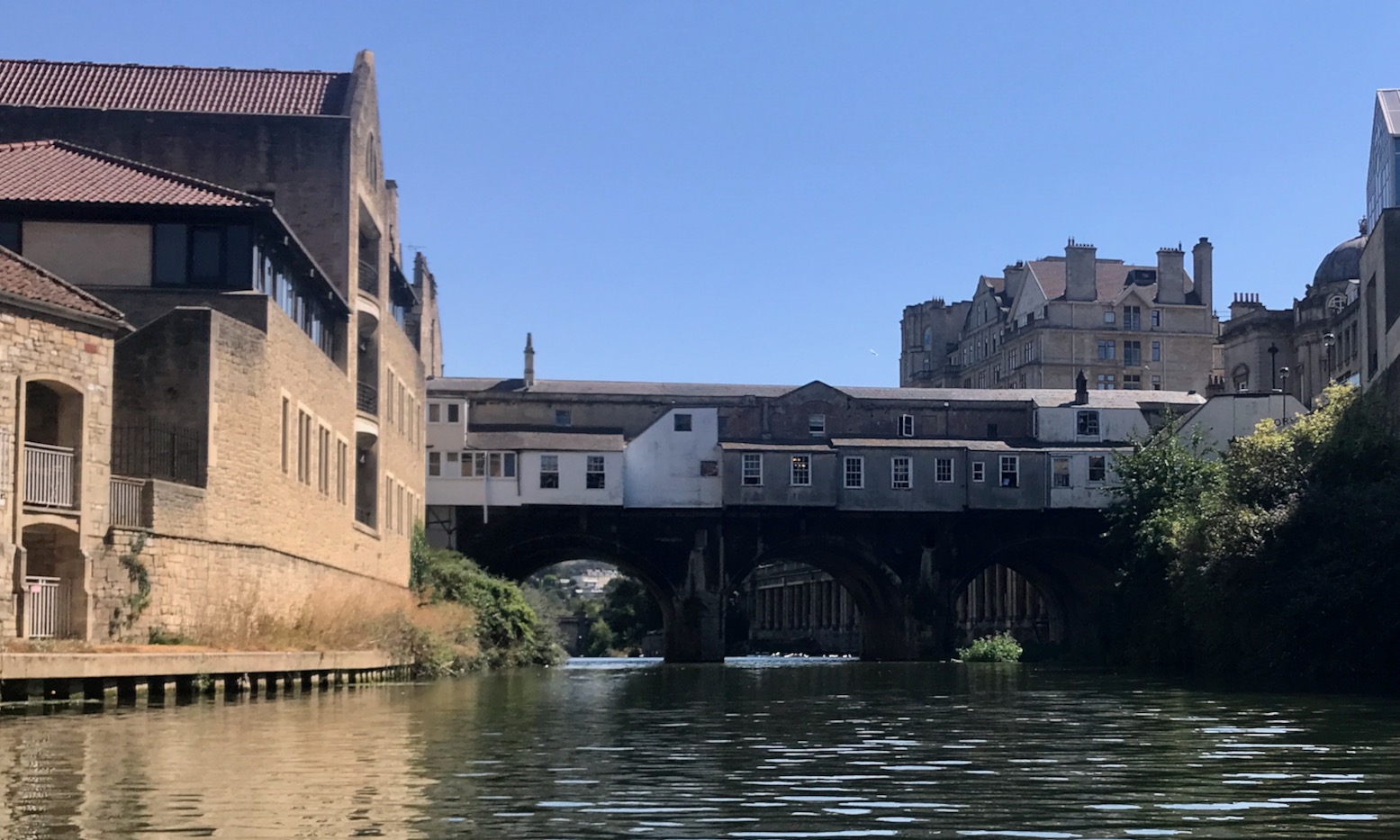
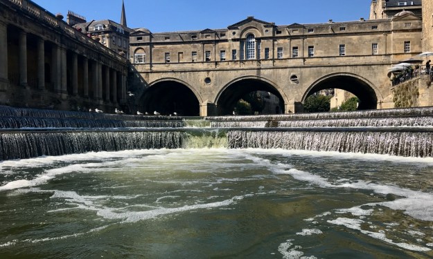
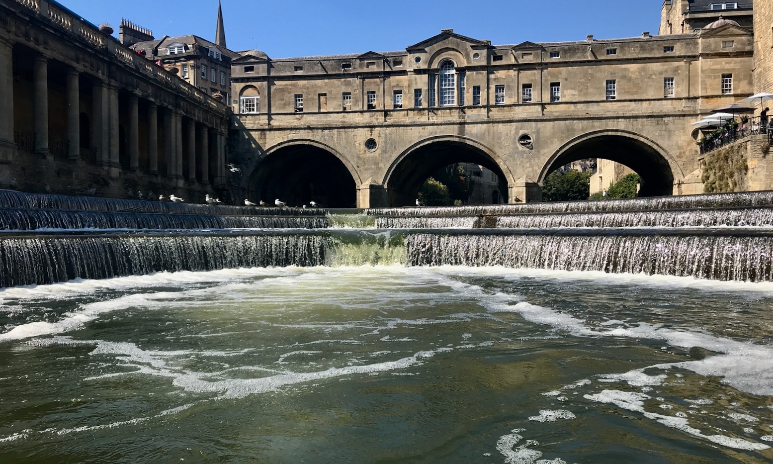
Now on the outskirts of Bath, three more bridges brought me to Robert Adam’s 250-year-old Pulteney bridge (left, below) just before Bath’s superb, award-winning neo-classically set Pulteney Weir (below). Up to this point, with the dense, tree-lined banks, you’d never guess you were in the middle of a city.
The original Pulteney Weir was once the usual diagonal arrangement, like the medieval weirs upstream, but with the installation of much needed city flood barriers in 1971 and no need to power a mill anymore, it was rebuilt as a curved parabola.
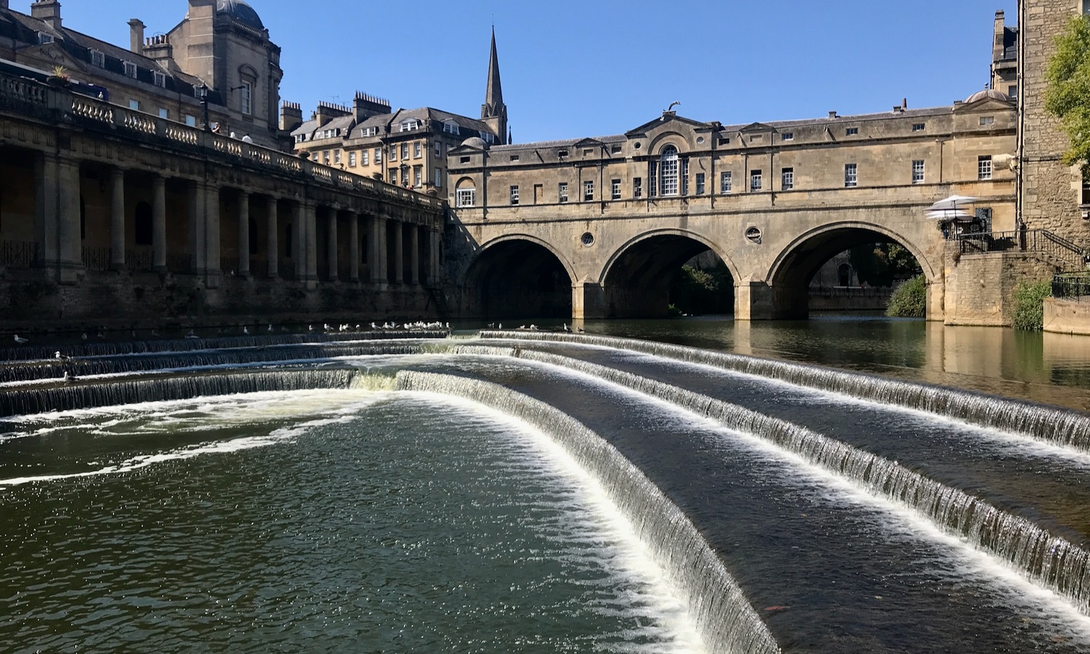
Form follows function: the radically increased length of the weir edges (along with a sluice gate) modulates the flow much better. Check out a great series of historic photos here.
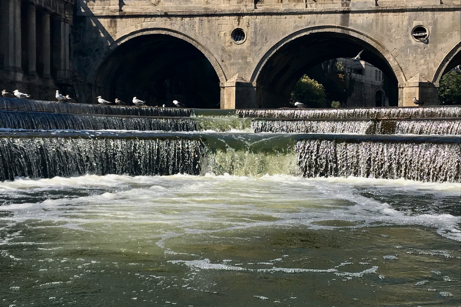
In normal-flows like above, a seemingly kayak-friendly notch is evident at the apex but should not be mistaken for an actual canoe chute. As you can see in the vid below, with someone downstream to help line you up, the notch looks easy enough, even in a canoe or a long sea kayak, but in higher flows even tourist boats edging up from below have been known to capsize when sucked in by eddies.
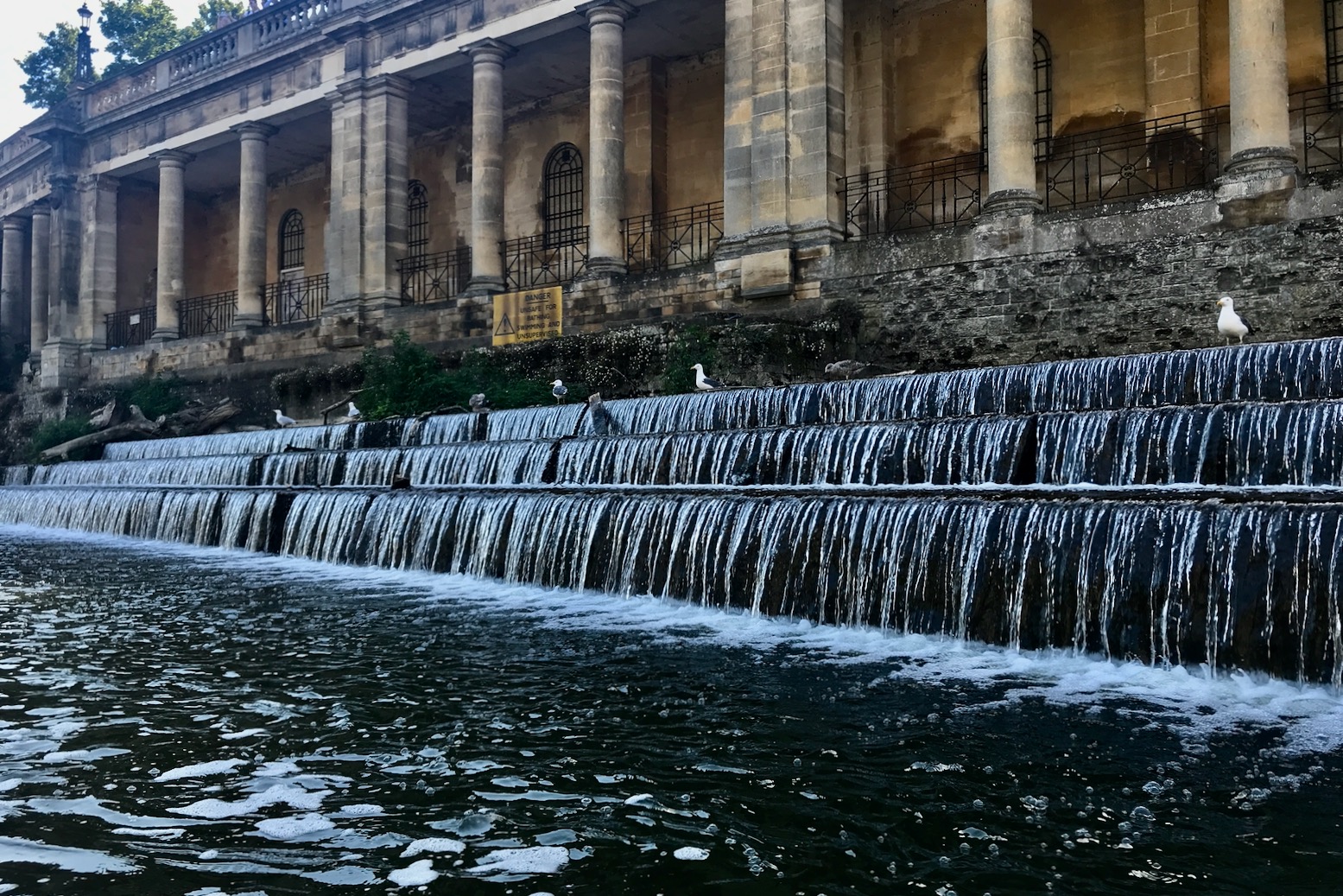
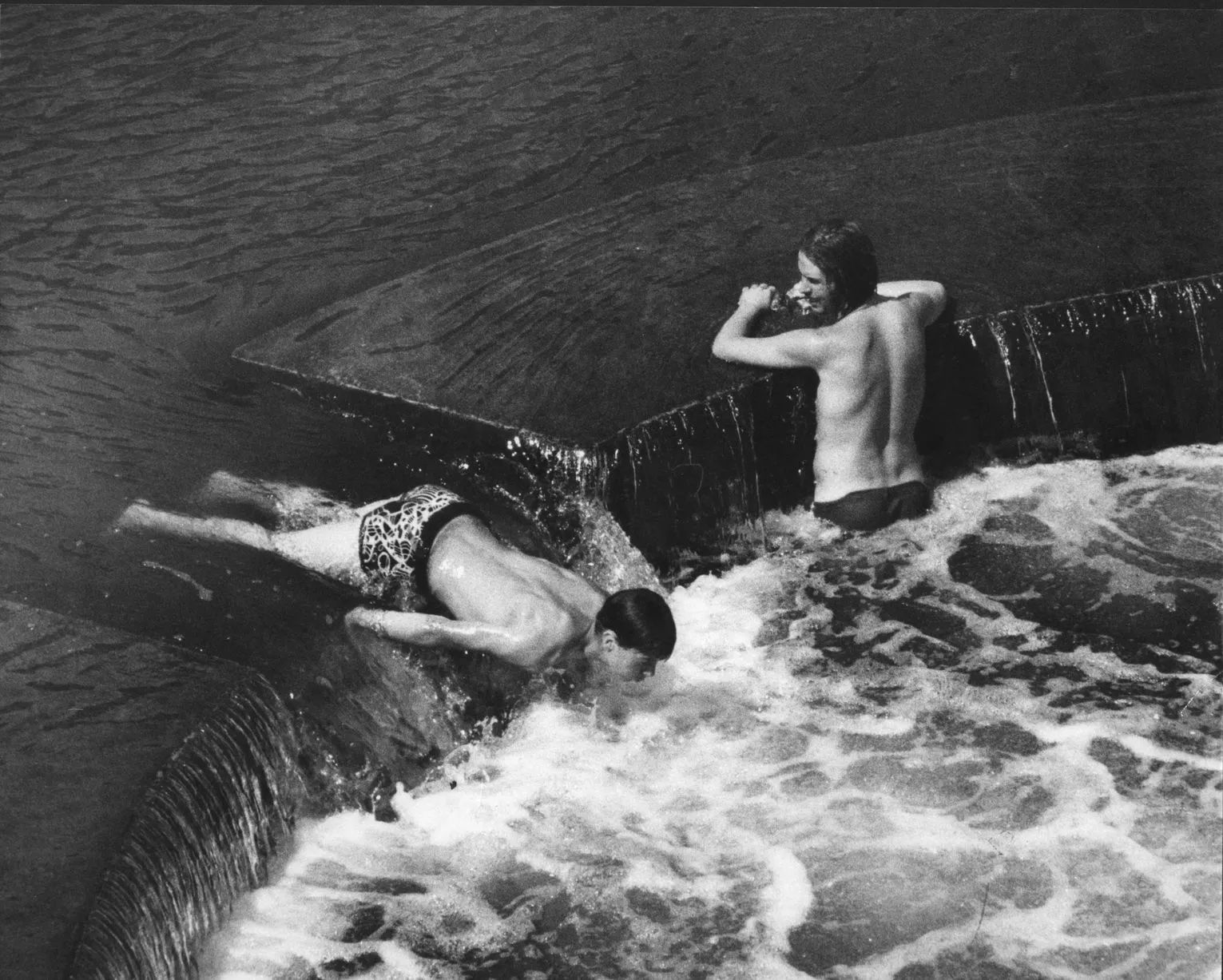
Arriving at the weir I was expecting hyperactive teenagers goofing about, as upriver or in days of old (left). But only silent waterfowl lined the weir’s terraced edges like sentries, waiting to nab a passing fish.
I paddled round to the roller ramp river left for a better look and decided lining up for the unseen apex might be risky, or just embarrassing to fluff given it’s prominent location.
Once below, I let the eddies suck me in towards the apex before getting flushed back out and carrying on downstream.
Just before the rail bridge after nearby St John’s church an easy take-out ramp appeared river left. On Google there’s also a floating jetty another 300m downstream, right before Halfpenny footbridge leading directly into the station. At the ramp a guy was sat against the wall, working his way through a slab of Holsten, explaining he was summoning up the nerve to take a swim. But he was already pretty far gone so I hoped he’d just stay where we was.
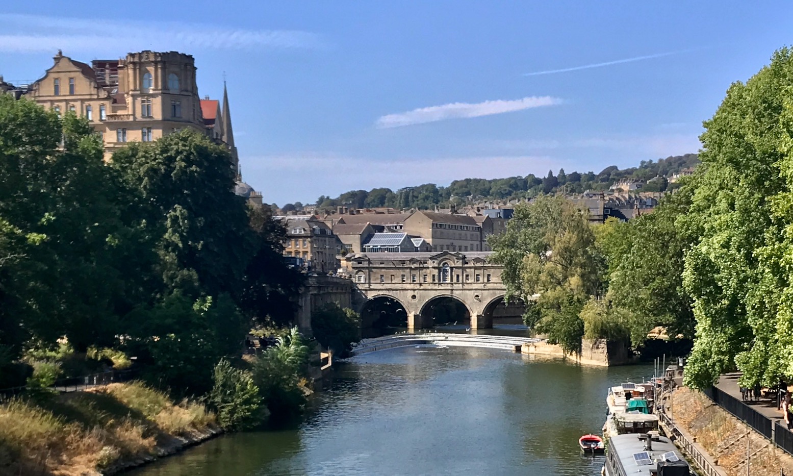

I was well overdue for a drink too, but in Bath you’re never more than a stone’s throw from an overpriced juice bar. I passed one on the walk to Bath Spa station for the short ride back to Bradford, closely tracing the Avon I’d just paddled.
That would have been a great end to this trip but that slow train I’d seen earlier was indeed a bad sign; buckling overheated rails had already caused derailments elsewhere in the UK, and train services out of Bath were delayed or cancelled. So I piled onto a crowded bus which barely passed the river, bought another two litres of fruit smoothy in Bradford and settled in for the hot drive home.
Don’t be too put off by the Avon’s awkward weir portages; on a fine day this really is one of the best river paddles in the south and makes you wonder what the rest of the Avon could be like, up- or downstream.