Tag Archives: Clashnessie

At sea with the Seawave

Seawave main page
drumdo

It’s taken a few visits, adding up to over a year up here, but I do declare I am running out of new things to paddle in the Coigach and Summer Isles area. A seven-mile run out to Priest Island – the very, very, very last of the Summer Isles – would be less edgy if not alone, while all the coasts from Lochinver round to Ullapool and up to the back of Loch Broom have been surveyed at least once. About a year ago that I did my (for me) epic run out to Bottle Island, just a stone’s throw from Priest.

dzero

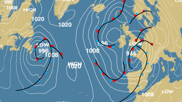
September does seem to be a reliably good month up here. Well, better than August – an old Highland truism. Another unexpected day of blue skies and light winds with the northwest pinned between a ‘Double Zero Low’, the sort of meteorological phenomenon that gives weatherpersons the munchies.

We decide to motor off the peninsula, along the Wee Mad Road (WMR) and past Lochinver to Clashnessie – a Norse word meaning ‘Battle of the Sea Monsters’. Here we paddled out towards the high arch before Point of Stoer and the beach at Culkein for lunch..

drum-arkl

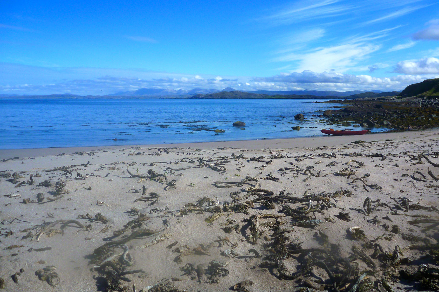
From Culkein beach there was a clear view right across western Sutherland to the quartzite mountains of Arkle, Foinaven, and the sea cliffs ending at Cape Wrath.
I thought about crossing the bay directly via the Eilean Chrona for Oldany Island channel. But it was a Spring tide going out so the flow may have been in our face by the time we reached the channel. Why wear yourself out on openish water? It would have added another 8 miles, ending with a rocky run back to the Clash of Nessies, just to explore a small area, and who knows what the weather might be doing by then.

drum-qooni


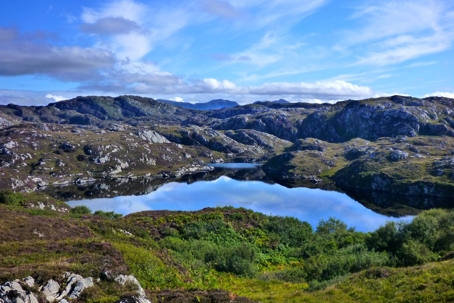
So we headed back to Nessie beach, letting the swell you so often notice in these north-oriented bays, lift the boat as it rolled inshore to crash against the rocks. Directly ahead was Quinaig mountain (left). I’ve said it before: it’s one of the best day’s hill walks here in the Assynt.
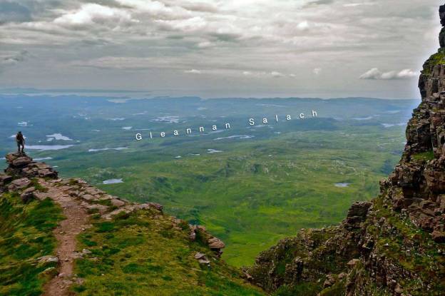
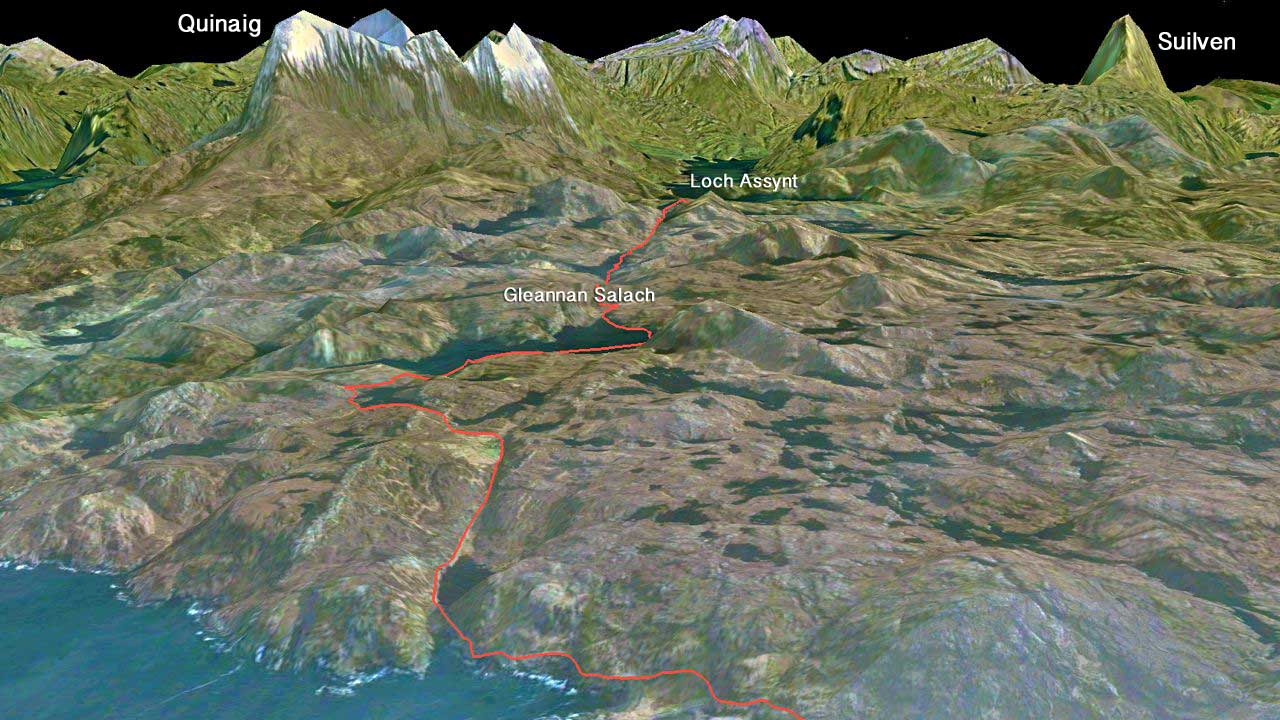
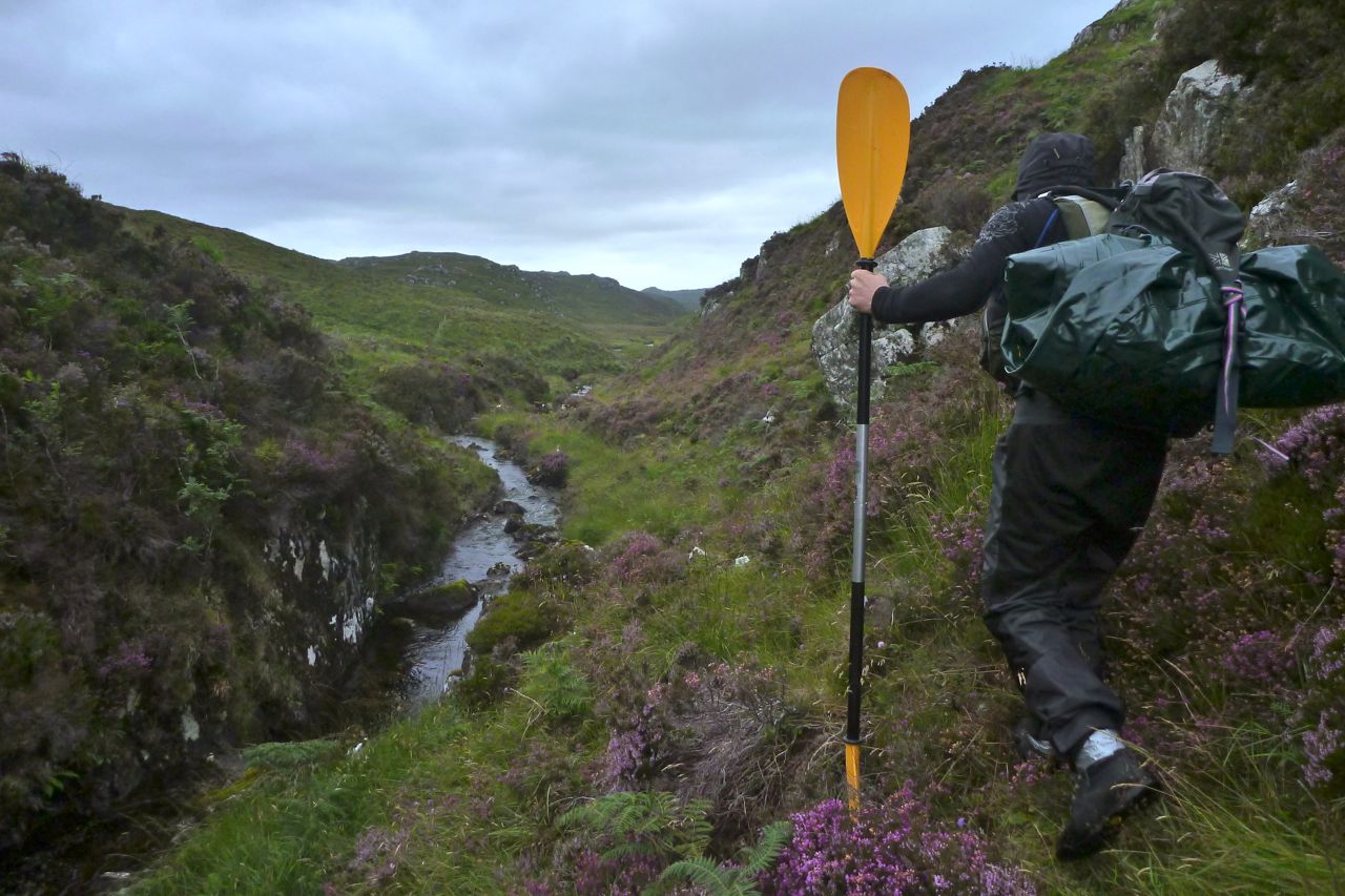
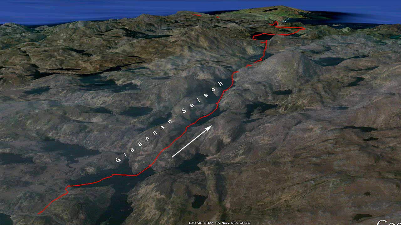
I’d long wanted to poke around the scattered skerries and islets between Oldany Island and Drumbeg. We drove up the Drumbeg road, where one time a mate and I had staggered against a gale, looking for the car after slackrafting the Lewisian barrens. Soon enough a small turn off led north to a ruined jetty at tiny Culkein Drumbeg.

Coming north, as soon as you get on the WMR you begin to see a different ecology. Hard to pin down what exactly: less bleak and peat sodden than Coigach. Perhaps it’s due to the Lewisian gneiss bedrock, because the Torridian sandstone was scraped off like an icky marzipan crust by the Ice Age and dumped into the Minch, to wash up on the beaches of the Western Isles just in time for Castaway. More birds dash about, the flora’s subtly different with a few more pockets of old-growth trees which have been picked clean or long blown away on Coigach. Perhaps the Stoer headland protects Oldany a bit, but it feels more like Plockton than the blustery northwest.

drumdrum

drum-comp

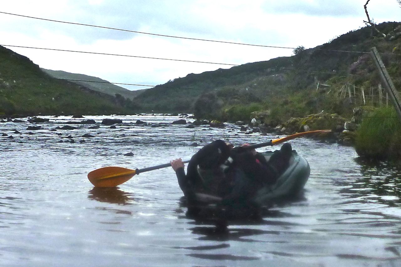
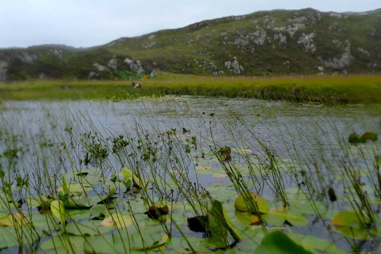
We set off for the hidden isthmus beach somewhere out here, scattering more seals as we went. Not bothering with the GPS to record moving averages, I’ve recently finally found a handy way to mount an easy-to-read compass on the Seawave, tucking it under the deck bar mount tabs. It was already proving handy to follow the NW bearing suggested by the map, out via the islets to the secret beach.

drum-siro

As we approached the sands we startled some hardy and doubtless Nordic skinny-dippers with their parked up Sevy Sirocco. Once beached, we politely took off in the other direction until they had regained their modesty. Soon a couple of hardshellers rocked up too – kayak rush hour on Oldany Island beach. Perhaps it’s not such a secret after all.

drum-yaks

A small bothy sits perched on the spit of grass which separates the two beaches. Hardshell man told me it was a private dwelling once rented to a local doctor by the Edinburgh owners, and even had a phone line installed in case someone’s baby was born early. It was another detailed ownership report the like of which you won’t find online.
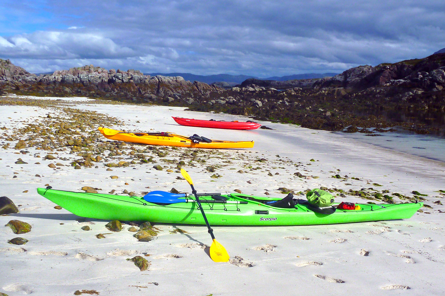
Our busy beach made an altogether lovely prospect of sand, grass and the azure sea beyond, abob with skerries and distant peaks. Plus kayaks in red, blue, green and mango.

drum-sands

drumboat
wnail

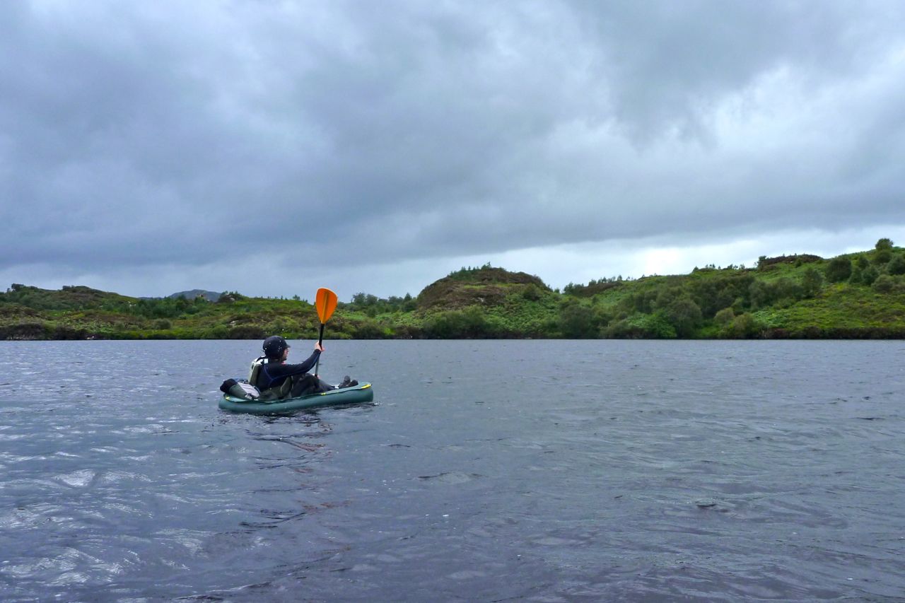
Back afloat, we took the long way back to the jetty, nipping round to the south to check out where the channel went. That could be a fun run at the right stage of a big ebbing tide.
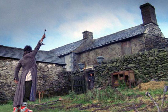
In the car, we carried on clockwise around the coastal road. Even more than the WMR, this Drumbeg road is hardly level for a moment and would be a good work out on a pushbike. Back on the main road, in Unapool we stopped off for a brew at the Rock Stop Cafe. A retired couple there were trying to track down the rude Withnailian cottage they’d honeymooned at no less than half a century ago. They’d not been up to the northwest in 50 years and Rientraid, overlooking the Kylesku bridge, had rung a bell. We told them about The Kerracher Man book which was set nearby, but about a decade later.

knowmyschist

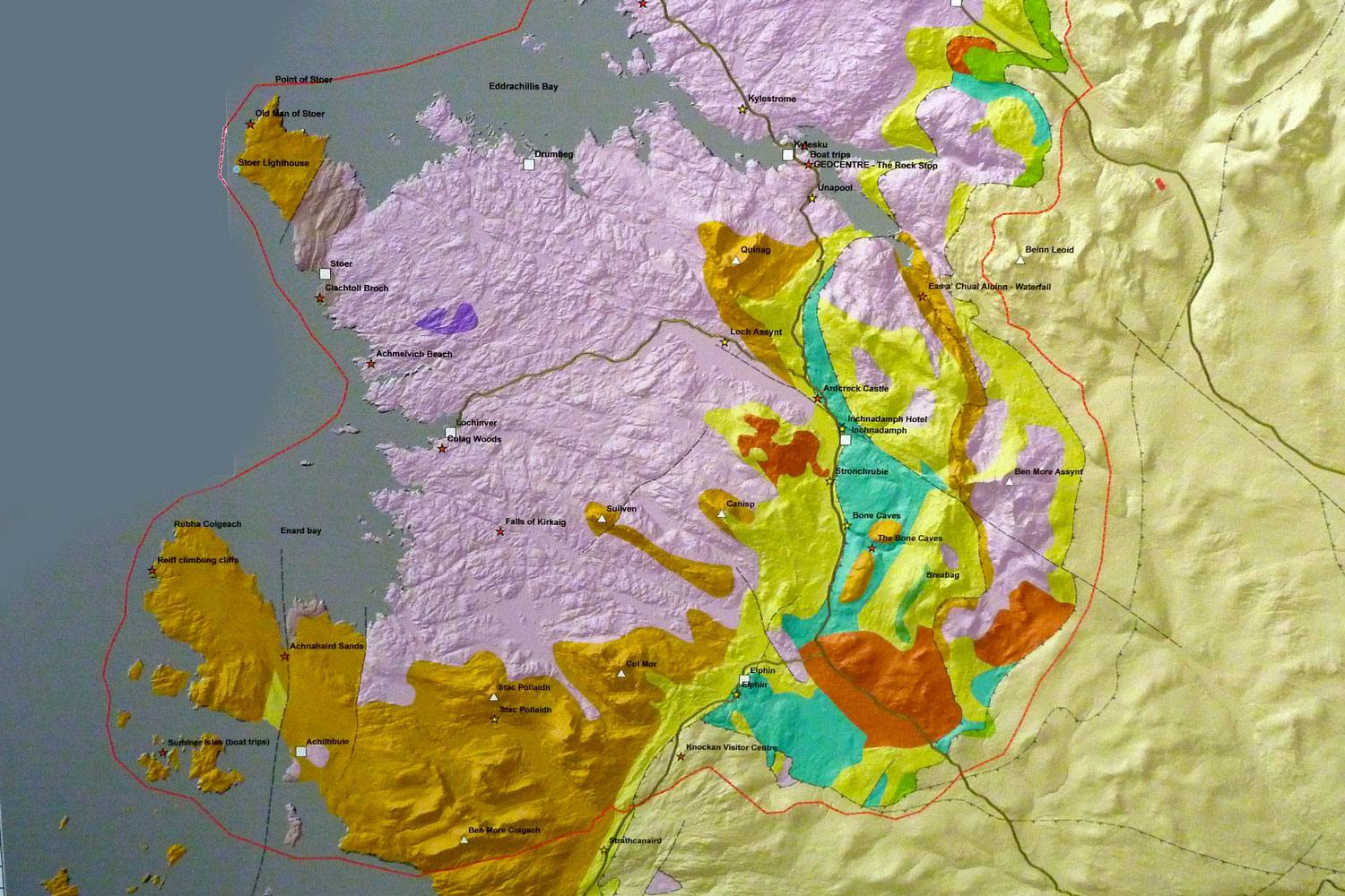
In the cafe there was Rocky Road in the cake cabinet and a geology map on the wall. Pink is your 3 billion-year-old under-icing of Lewisian gneiss; the orange is a creamy overlay of Torridian sandstone. Interestingly, the map showed Horse Island as the only Summer made of gneiss. Who’d have known? High time then to get your schist together and watch a geology lesson.


argono
sunst

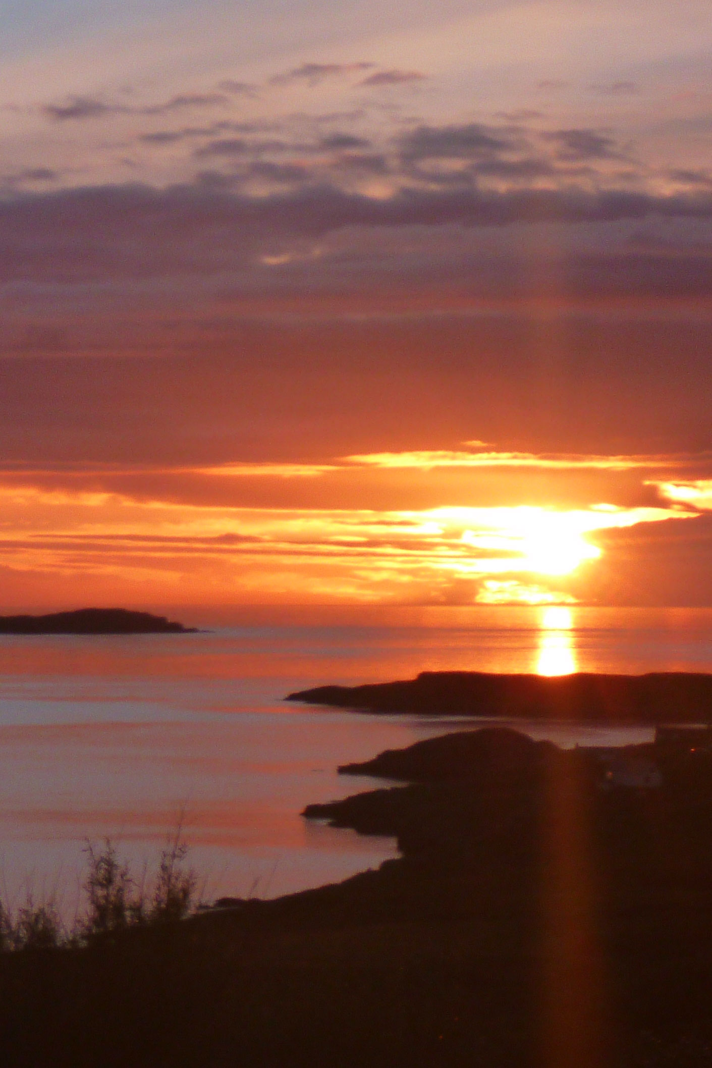
We’ve had some good here sunsets lately and even a green boreal glow a couple of weeks back. The other night the stormy orange clouds reminded me of the cover of Argonauts of the Western Isles – a great title for a lovely memoir by Robin Lloyd-Jones about sea kayaking on the west coast.
I’ve only just realised it’s a take on Brondo Malinowski’s seminal 1922 Argonauts of the Western Pacific which, unless I’m very much wiki-mistaken ‘redefined the ethnographic genre’.

Actually now I see the cover, it’s nothing like my photo, it’s much worse, though might have worked without that tilted horizon. But don’t let that put you off if you’ve not read it. It’s a wonderful tale that covers years of paddling up here, from post-war bathtubs and broomsticks to the start of the sea kayaking boom.

Slackrafting to Clashnessie

See also:
Slackraft Main Page

asyguinio

As we left one car near Stoer, out to sea a stampede of white horses were galloping in towards the Bay of Clachtoll. It looked like a late 90s Guinness commercial out there. We didn’t want to be kayaking in that, no sirree.
So instead Jon and I swapped craft and set out to follow a string of lochs which filled a fault line marked on the maps as ‘Gleannan Salach‘ (above). It ran west from Loch Assynt to the sea, across a lochan-speckled headland tipped by the Point of Stoer. To the south Enard Bay (which I kayaked a few weeks ago) to the north Eddrachillis Bay; all ringed by the cute Drumbeg road. I’d clocked this as a viable packrafting ‘line’ some time ago and today was the day.

sala26

It was only about seven miles, road to road. But from the look of the map and knowing the terrain around here, I expected the walking stages to be sodden, gruelling bogs or chest-high fernfests. We’d found as much on Horse Island the previous day.
Jon was debuting his skinned dinghy (more on that idea here), last seen here during a bitterly fought offshore jousting tournament we’d held off Achnahaird Bay a year or two ago. I’d cut my own slackraft down a while back but found with my weight, the freeboard was a limited and the slightest wave would swamp it. Luckily that was all the excuse I needed to be allowed to use my proper packraft.

It was going to be a day of blustery winds and heavy showers so appropriately dressed, we parked up at the Leitir Easaidh end near Loch Assynt and put in at a shelter by a boat ramp. On inflation, Jon’s slackie looked ridiculously small, an impression that worsened once he actually got on it. And on the water the situation deteriorated still further; that thing pulled half the speed of the ‘packa, yawing left and right like some demented dashboard ornament in need of a good slap.

sala05

A relative novice to slacking, it’s possible Jon was paddling as if he was in his 17-foot sea kayak which has a length/width ratio of over 8:1. On his slackie it was less than 2:1. Long, powerful strokes merely flip the bow left to right, as I found when I first tried my original Alpacka Llama. It takes a bit of a knack to limit yawing, although the newer ‘fastback’ tailed Alpackas like my yellow Yak, greatly minimised that. Previous slacking expeditions in France and the Kimberley has been with unskinned, full-width slackboats which attained some two thirds of an Alpacka’s peak velocity, once you’ve divided the surface tension by Ω x π. It brought up the troubling possibility: was removing the outer hull to gain slimness at a slight loss of buoyancy not as efficacious as previously thought?

By the time we got to the far end of Loch Leitir Easaidh we’d already been rained on and blown about twice. Faced with a steep climb through knotted woodland and thick bracken, we rolled ’em up and go stuck in. Soon we were at the pass which overlooked the next lochan and by the time we were back at the pumps that one mile had taken an hour.

We estimated the rest of the crossing would probably be at the same slug-like pace, so to get home before Christmas, I towed the slackraft. Jon paddled too of course, the tow line constraining his rampant yawing as we clung to the leeward south shore. Alone on windless flat water, my packraft can sit on 3 mph. Out of the wind our packboat convoy managed about two which was good enough. At the far end a short portage dropped us a few feet down to Loch Three, and at the end of that one a deer fence stretched across the small weir before Lochan a Ghleannein Shalaich, loch #4.

At this point the map showed the flow funnelled into a narrow gorge which could mean an awkward climb to get round. We’d decided if it took ages to get to the gorge we’d turn back, but lined up we were averaging a little over our target 1 mph so the mission rolled on. Better still, an easily walkable route ran alongside the stream through the gorge (above), then opened out to an agreeably grassy basin that didn’t involve thrashing through chest-high bracken or sinking into unset peat. Unusually, walking here proved to be faster than paddling.

That stage gained us some time, but back on the water we took a few steps back. The southwesterly gale sweeping across Loch na Loinne must have been accelerating round Cnoc an Dubharlainn, at 223-metres, the highest hill in the ‘Salach’. A couple of islands provided inadequate protection from 35-mph sidewinds which hammered down on the rafts. We both dug hard on the right and barely the left across the exposed bays, managing between 1.5- and 2 mph, though it sure didn’t feel like it. The shortest rest saw us skitting across the choppy waters to the northeast bank.

Out of the wind it’s another world. By a wooded cliff we glided past the controted, banded Lewisian gneiss that makes up the bedrock of this waterlogged region. Said to be three billion years old, the Salach badlands has had its capping of oxblood coloured Torridon sandstone scrapped away, right down to the raw bones of the primeval gneiss. At the far end they’d built up a rubble and mat barrage which diverted the outflow through a pipe. Purpose unclear, but after the effort of getting here, I suggested we unline for the next little loch before one more portage brought us to Loch Poll, the last and biggest loch.

Untethered, the Alpacka Yak skimmed across the lochan like a spun stone. Jon was not so far behind and we both squeezed under a fence and along a channel before we ground out on mossy boulders and took to the banks. The whole traverse seems to follow an ancient wall and a newer fence, and as the winds strengthened we popped through a lonely gate and over a pass clinging to our inflated boats. Down on the far side, again we managed to paddle a meandering, reedy stream until a small waterfall barred access to Poll. Raining, blowing and cold, it was a good time to cram in the last of our squashed snacks for the final haul.

Slackerman, where you gonna run to?
And a haul it was. The winds and rain intensified to the point where we decided, that even at our glacial pace, better to take a longer route around Poll’s southern edge. Flat against the wind at times, from the look of the passing shore, our lined-up flotilla crept along at barely a mile an hour. In fact a ’10’ marked on the OS map has obscured a couple of handy islands that would have made crossing Loch Poll’s 300-metre wide ‘neck’ not so exposed, though that route may have put us against the biggest fetch and rebounding winds.

We curved round the loch’s southern shore to gain a brief spell of backwind and then with more hacking, arrived at the take-out bay at 7pm, six hours out of Leitir Easaidh. It was a ten-minute walk to the road and the car, somewhere within a mile. Half an hour later, where was the car? Not in Strathcoy, not in Imirfada. Had we turned the right way off the Salach? At Clashnessie Bay I was forced into that ultimate humiliation: looking at the map. Oh dear. I got Clachtoll near Stoer mixed up with Clashnessie, also near Stoer; I had assumed the Gàidhlig Buidheann-stiùiridh doi Teanga (Gaelic Language Directorate) had changed the name. Another three miles march it was then, into a headwind so strong we couldn’t hear each other talking. Ardmair near Ullapool recorded 48 mph around that time.

sala25

gin

So, has the cut-down slack rafting myth been finally punctured with a blunt wooden spoon? I knew they were slow but Jon’s boat seemed worse. Still, my Amigo IK is the same alongside Jon’s Scorpio sea kayak – not as fast – so you’re as fast as you are.
I still think for a hill trekker carrying a slackraft that’s no slower than a Supai, lighter than my Alpacka and a fraction of the price, still enables water-inclusive routes across the well-suited northwestern highlands. Longer crossings may take a while but you paddle. That’s what you do. Splish follows splosh follows splish follows splosh. Good things come to those who wait.