The last time we paddled this part of the Jurassic Coast (video above; more here) we were zipping along under sail or navigating in choppy waters and I didn’t get a chance to have a good look around. Now the latest heatwave and strong winds has subsided, today I wanted to take a slow ride along this world famous section of coast riddled with geological marvels.
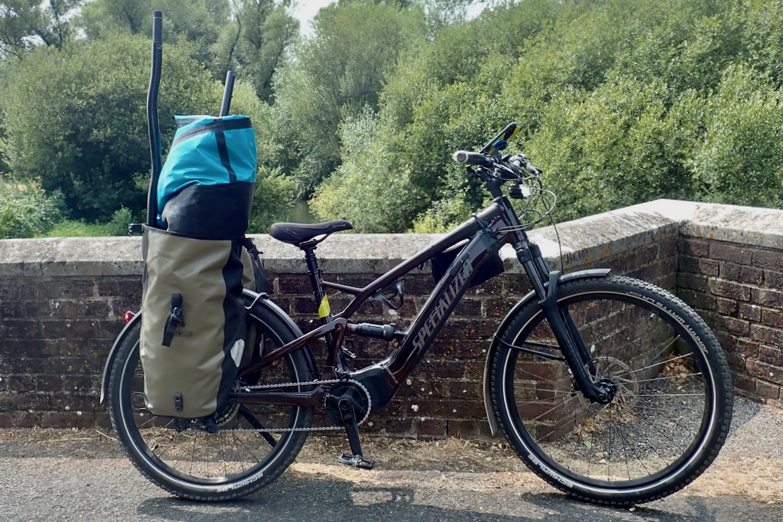
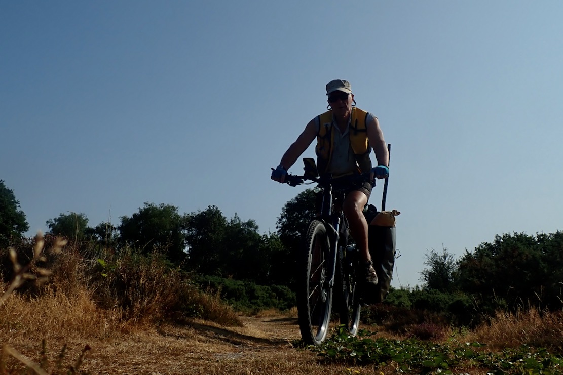
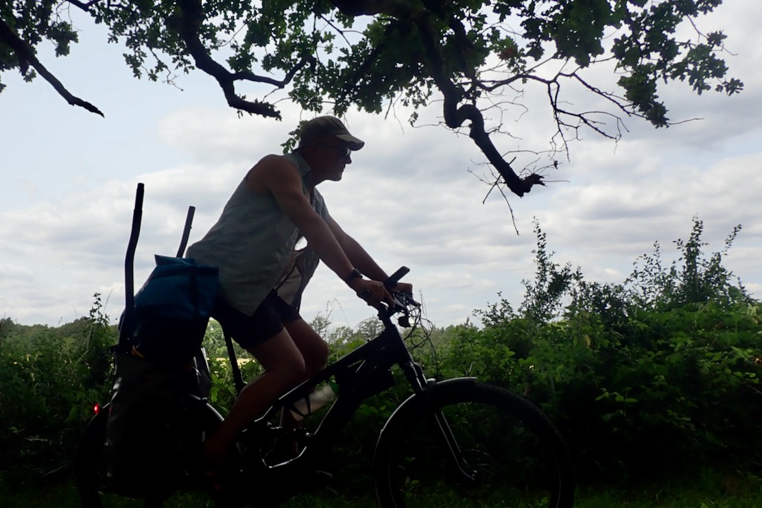
The Lulworth Estate owns this spectacular stretch of coastline and makes several million a year off what must be the most expensive car parking in Dorset. And while you can get here on a bus, I’ve got a new way of getting around for packraft day trips: an e-MTB which can tackle bridleways and traffic-free backroads with the boat shoved in the panniers.
PackhaulingTraffic-free byways
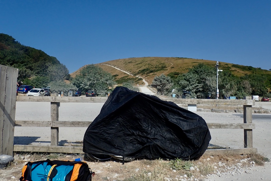
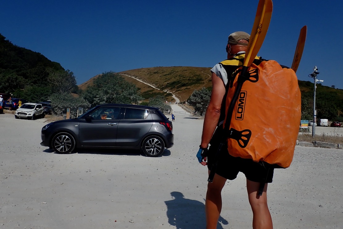
My e-bike weighs 28 kilos – double a normal MTB – and, along with the delicate electronics which have already played up in the rain, is not a good candidate for seawater bikerafting. That proved hard enough the other week with my folding bike at less than half the weight of the e-bike. So at Lulworth Cove I locked the bike to a fence and covered it, hoping I’d not get clamped, then set off for the long haul up and over Hambury Tout to Durdle Door beach.
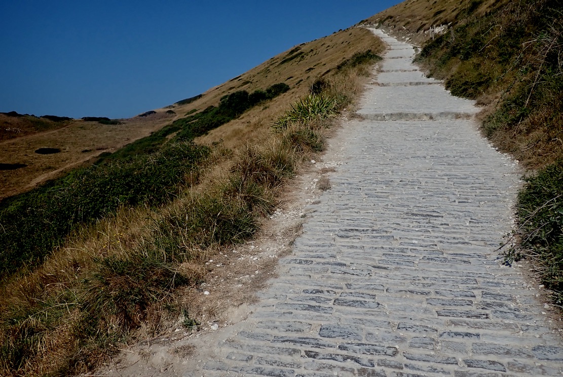
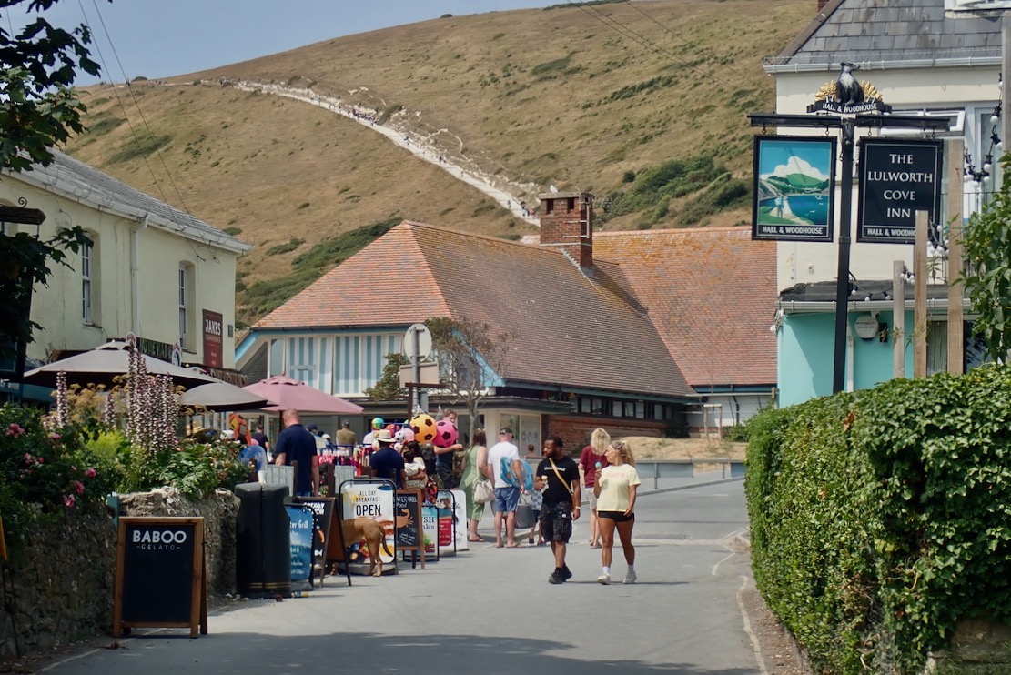
Thankfully some of the parking millions has been spent on a cobbled path making the climb as easy as you can expect. But in one go it’s still like 20 minutes on a cross trainer.
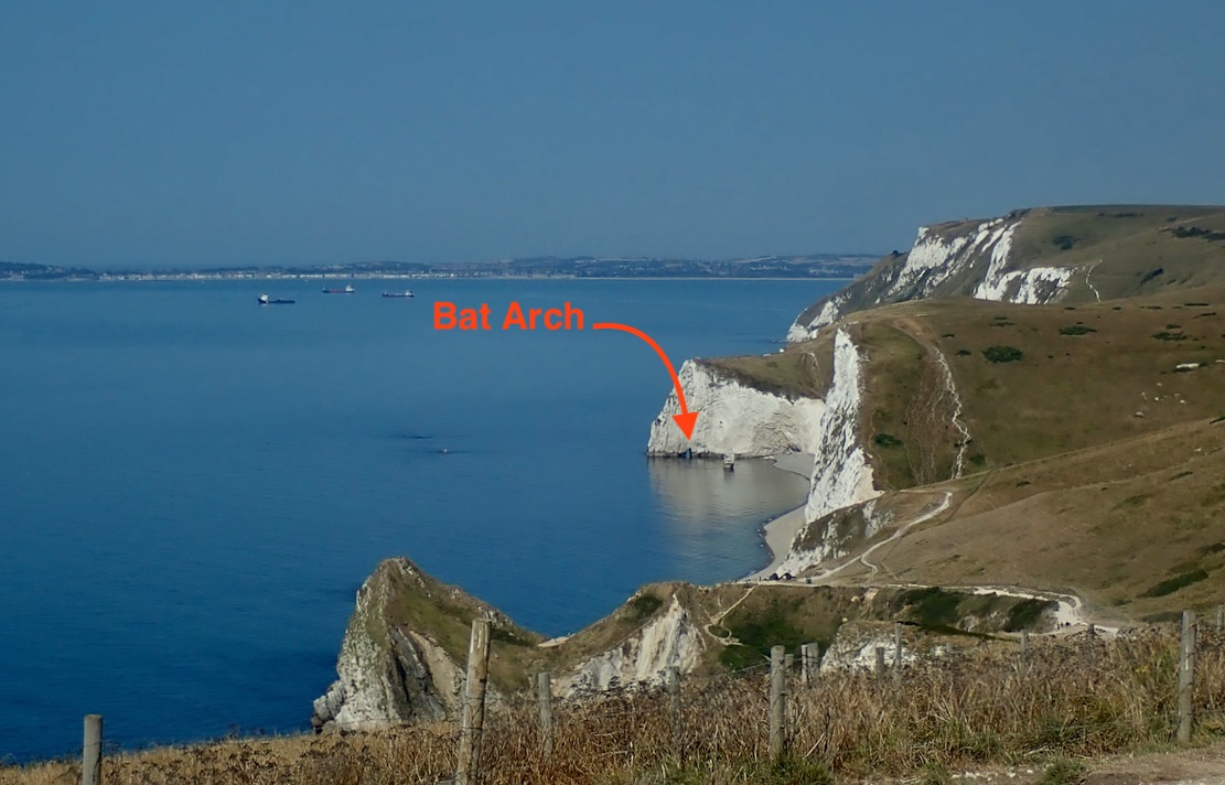
My plan was to trek to the far end of Durdle’s gravel beach, paddle through Bat’s Hole arch, then come back via Durdle Door and Stair Hole to Lulworth Cove. All up only about 4km. A neap tide was coming in and winds were a cooling 5mph from the east, turning onshore at noon.
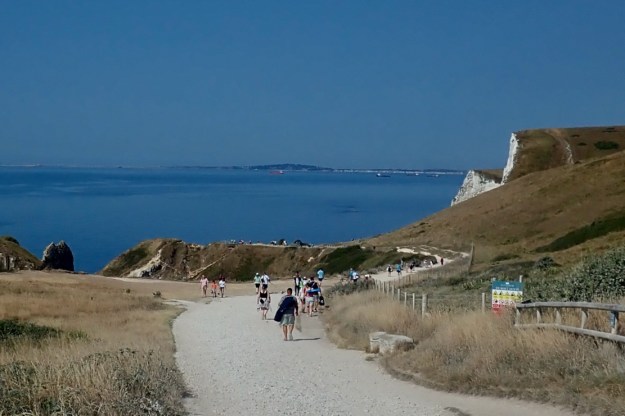
Crowds thicken as you near Durdle Door and you’ll easily hear half a dozen foreign languages as pilgrims the world over come to view the limestone marvel.
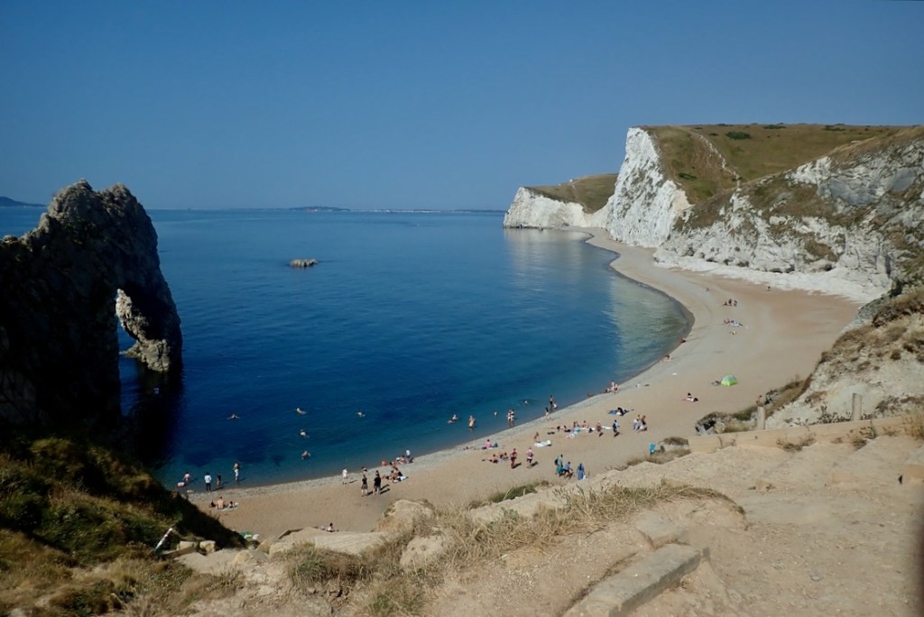
And you can see why. From the top it all looks amazing, though not always after a busy day. I’m pleased to see the sea is glassy smooth.
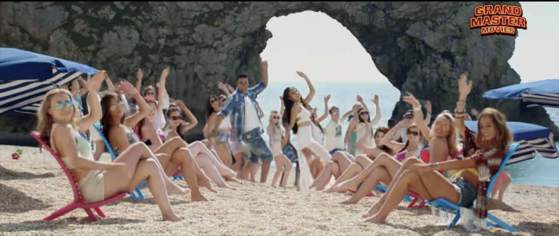
At times Durdle Door must be the most culturally diverse location in all of Dorset, and is especially popular with people of an Indian heritage after a Bollywood comedy called Housefull 3, was shot here.
I trudge on and pass a woman inflating her SUP. Perfect day for it.
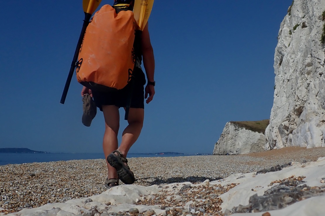
While the fine gravel gets jammed in my Omniums, at least there won’t be the nuisance of sand to wash off.
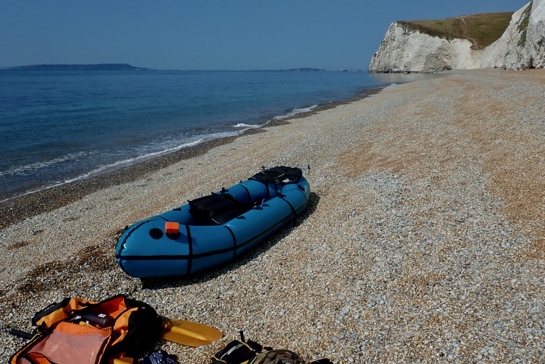
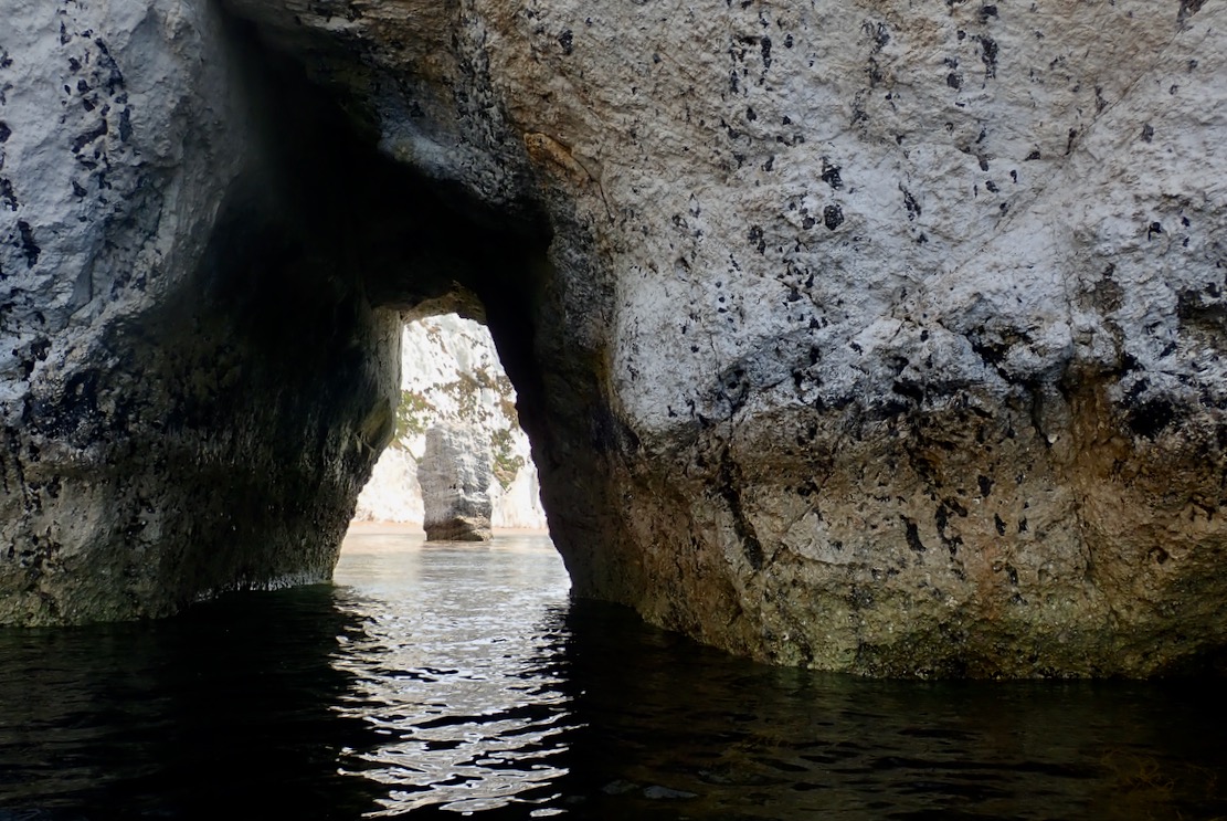
Approaching Bat’s Hole. By the time Durdle Door collapses into the sea and becomes a stack, Bat’s Hole will have grown enough to become the replacement, producing a seamless transition in parking fees. The TXL zips along but oddly, I’m wobbling about on the seat like it’s over inflated, which it’s not. Unusually, I’d put it in with the baffles longways and wonder if that’s the cause. I turn the seat 90° with the baffles now across the boat. The wobbling stops. Paddle board woman catches up but, despite the perfect conditions, I’m disappointed to see her kneeling, grappling with the over-long SUP stick. In the dozens of paddle boarders I pass today, only a couple stand up. Honestly, I wish someone would tell the kneelers and sit-downers they’d manage so much better with a kayak paddle, like this chappy, or even one of these. Full disclosure: like gravel bikes, I don’t get paddle boarding, which merely goes to show how stratospherically out of touch I am with the popular zeitgeist.
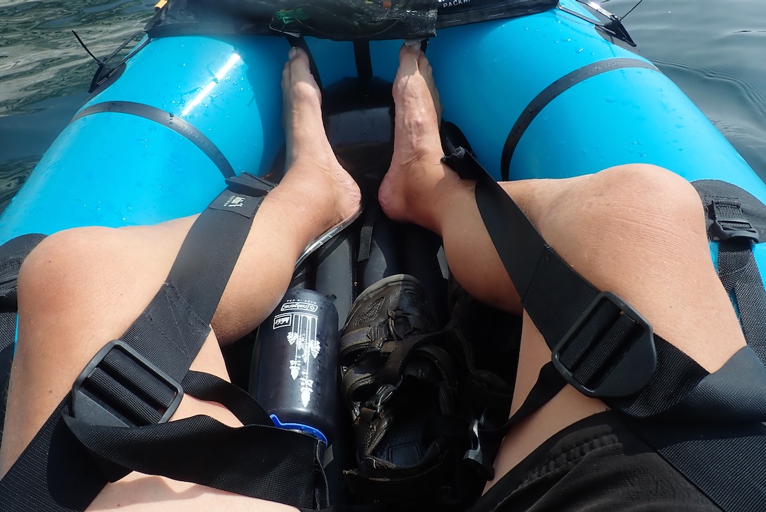
I hop out behind Bat Hole and top up the TXL. These big volume packrafts often need a second top up 10 minutes in (it can be done on the water). My bodged balloon pump finally breaks (the better 2-part Mk2 version waits at home). I also install the inflatable footrest like I should have before setting off, then go all out and deploy the thigh straps too. That done, I’m reminded how connected and comfortable you feel in the TXL with all these things in place. It’s like standing on a paddle board!
A light breeze is blowing through the arch from the west, the opposite of the forecast. Oh well, it’s light enough not to matter and will blow with the tide for the ride back. On the far side of the arch an unseen air pocket is huffing and puffing and snorting with the swell.
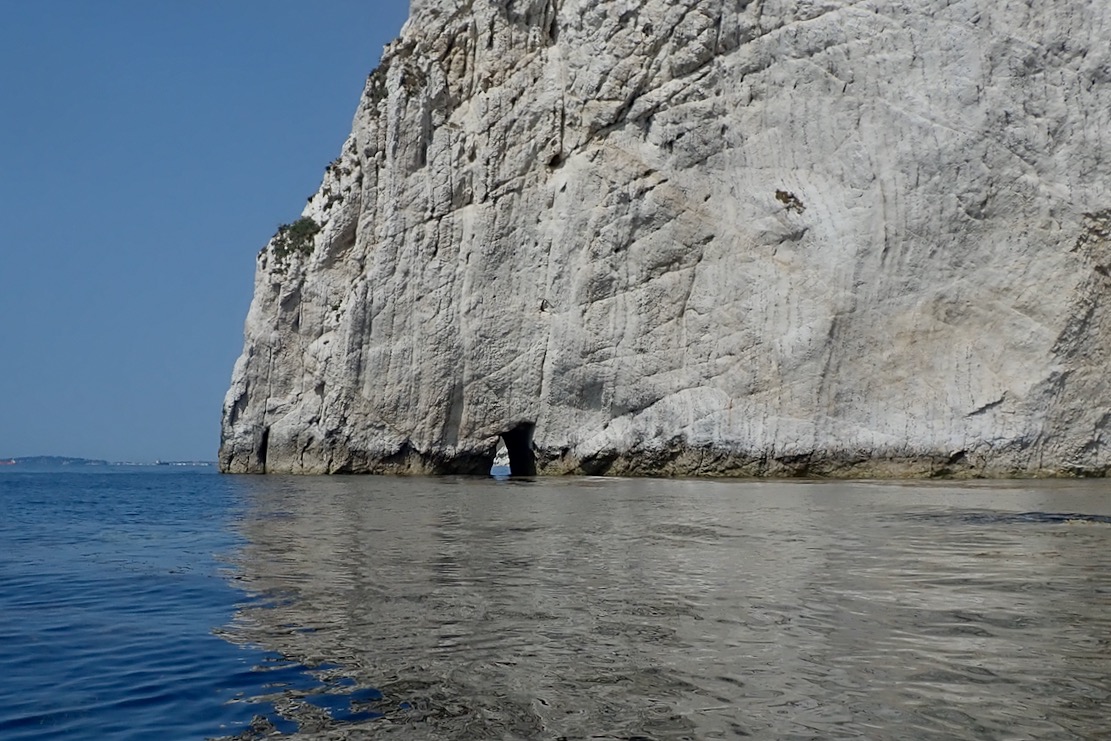
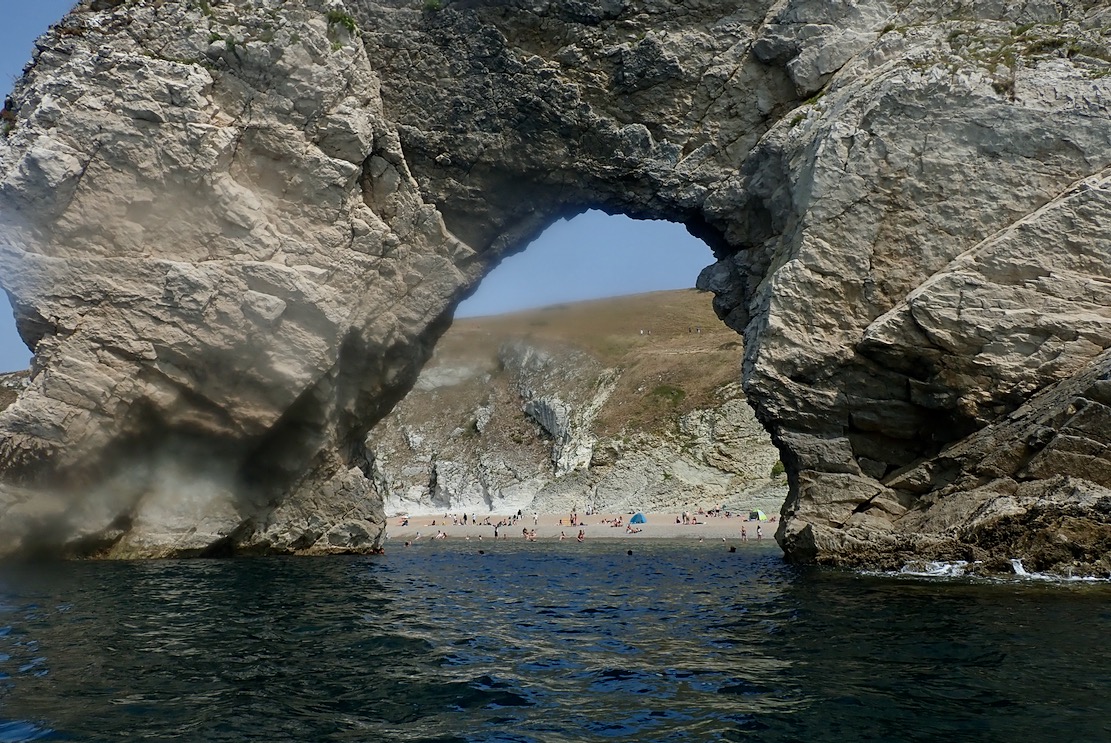
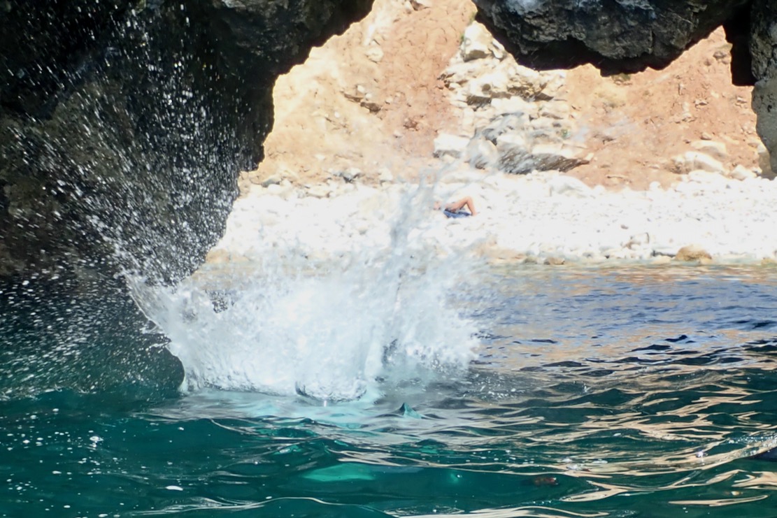
Careful to dodge swimmers and unseen tombstoners (gruesome vid), I pass through Durdle Door and again leave the throng for now. I used to love tombstoning; the thrill of jumping into thin air and landing harmlessly, feet pointed and nose pinched. But falling 200 feet from the top of the Door would be very painful. I continue through St Oswald’s Bay / Man o War and as predicted, around noon the wind pivots to onshore and ruffles the surface. I pass a bloke standing on his SUP with his Mrs laid out on her elbows between his feet, like a forward gunner. ‘That’s how to do it my man, with your reposing young lady providing added stability by virtue of a lowered centre of gravity!‘ I should have exclaimed.
I weave in and out of the rocky maze around Dungy Head, where it’s said late Neolithic farmers once span dried cowpats off the cliff as votive offerings. The practise survives today in Kentucky.
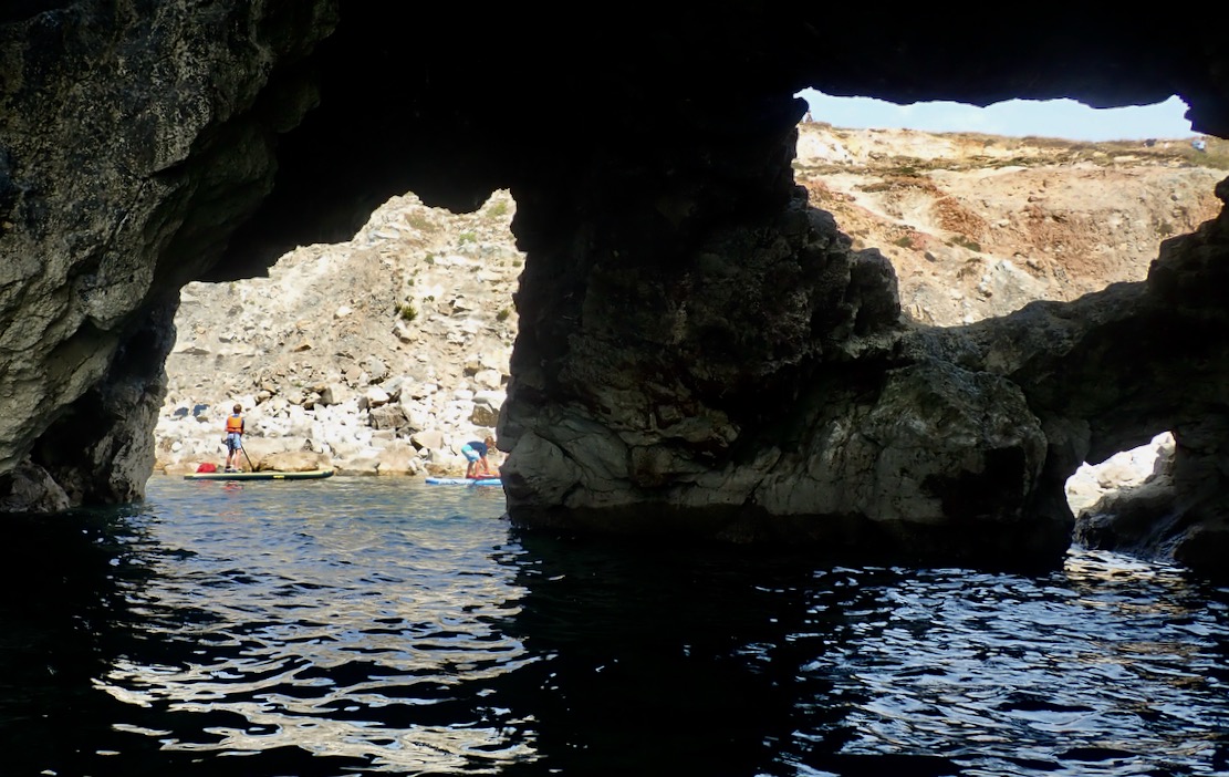
I reach Stair Hole, an intriguing network or arches and caves, packed with young revellers. You can enter a mini cove, but need to go out again then enter one arch to exit the other, again on the watch out for tombstoning lads and furtive snorkelfolk.
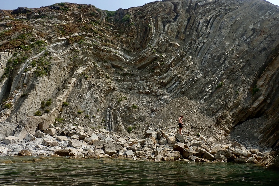
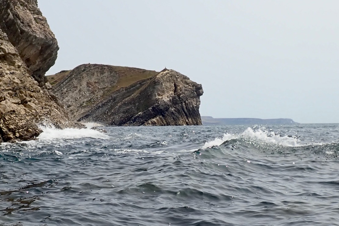
The Lulworth Crumple they call, this. Reminds me of Morocco’s Anti Atlas ranges where such formations are common.
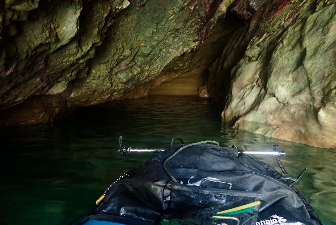
I probe a sea cave with a sandy beach at the end, and am reminded on Moonfleet, just a few miles away
The sea view of Stair Hole. Note the boarder paddling with dangling legs; good for the pecs and CoG, I suppose.
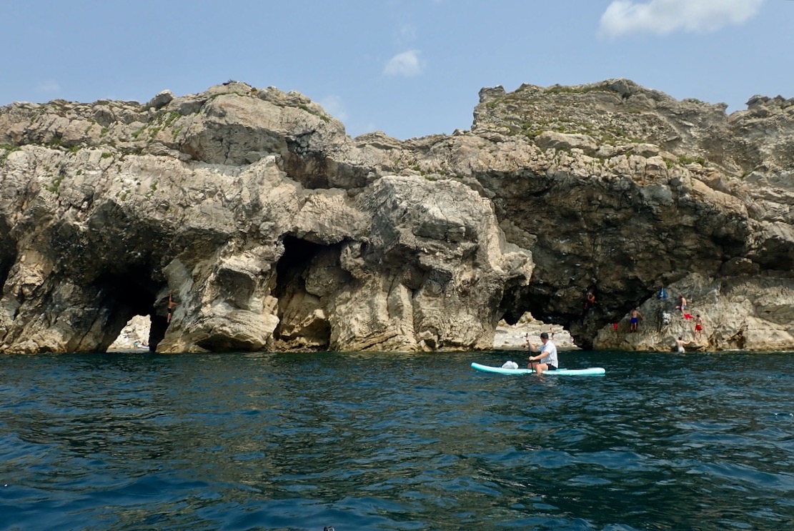
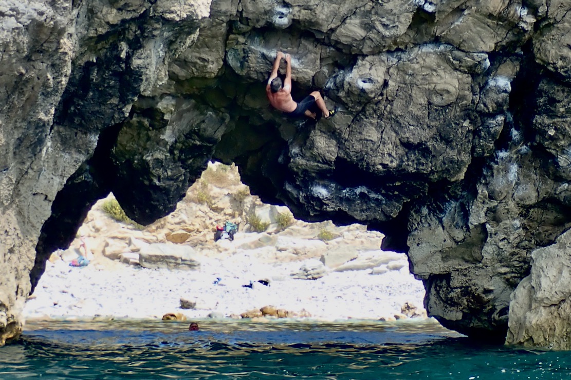
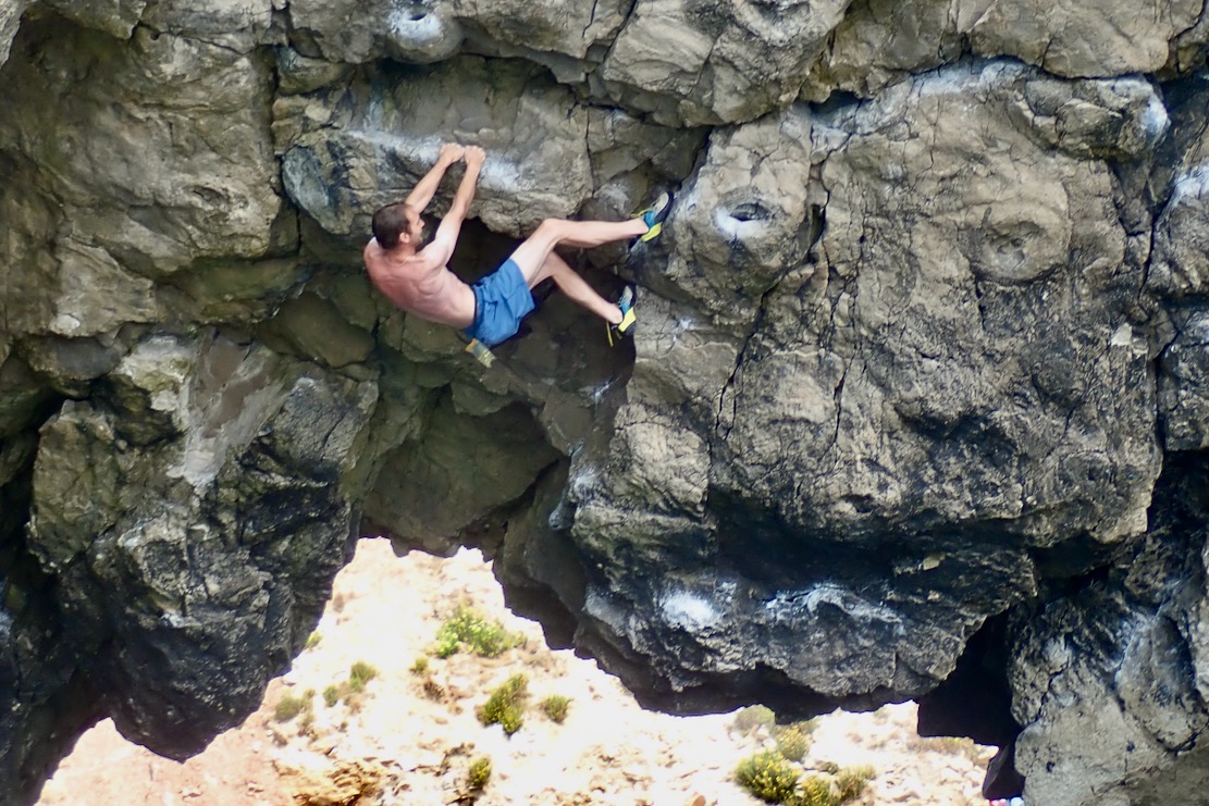
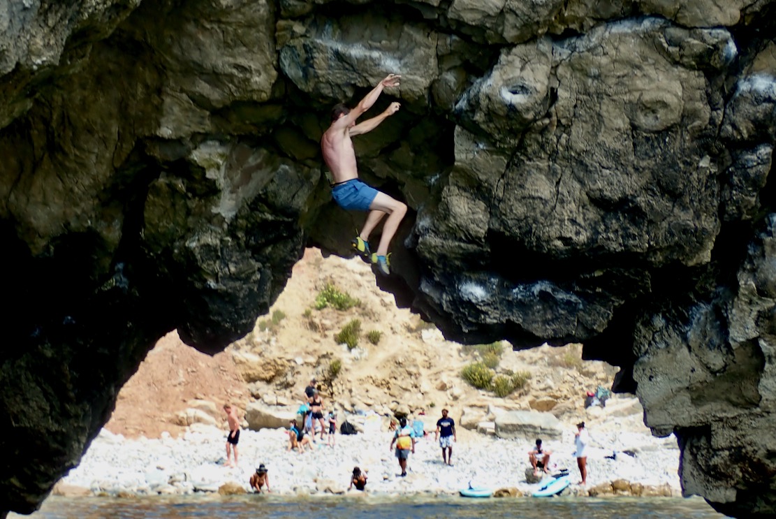
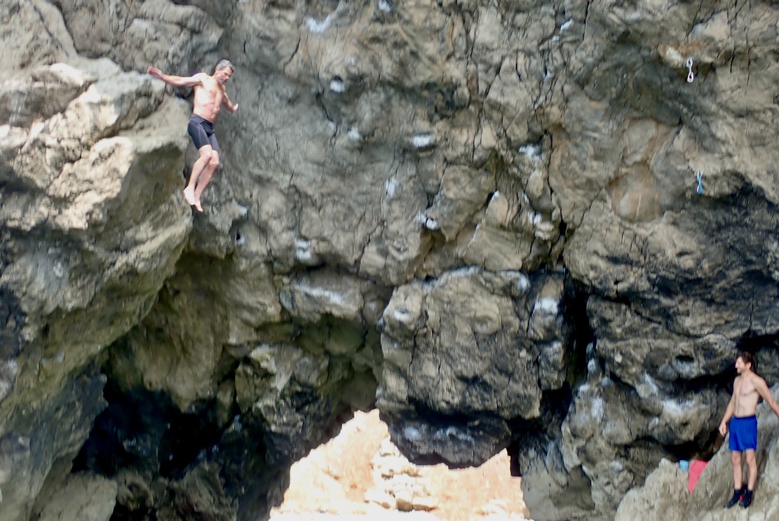
Talking of pecs, on the right (east) arch I realise it’s not just another bunch of young daredevils egging each other on, but proper climbers taking turns to traverse the arch’s overhanging span. I was never into the clobber of climbing. How great it must be to free climb with just shoes, shorts and chalk bag, knowing it’s a short, harmless fall into the water. The bloke in the black shorts made it across to a round of applause; blue shorts bailed.
By now the sea has kicked up and is bouncing clapotis off the cliffs. But I feel stable and safe in the pitching TXL, partly because I know it’s not far to go.
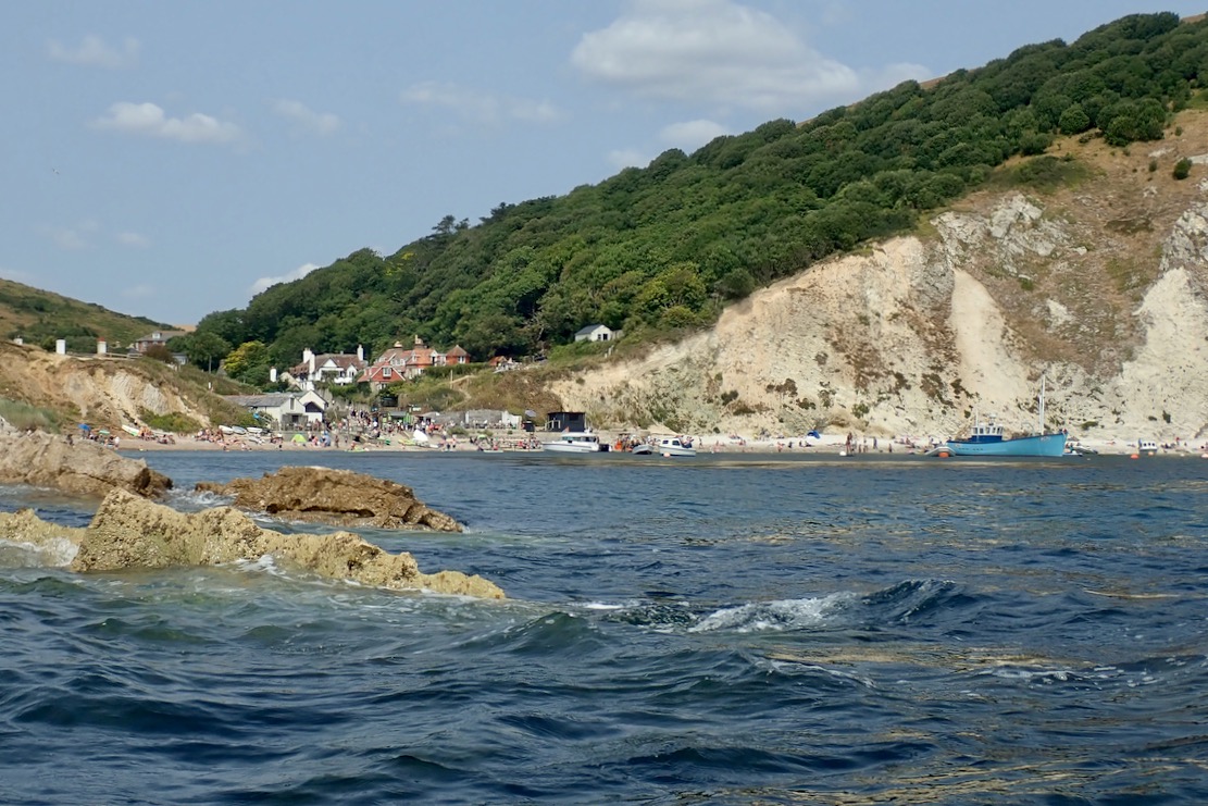
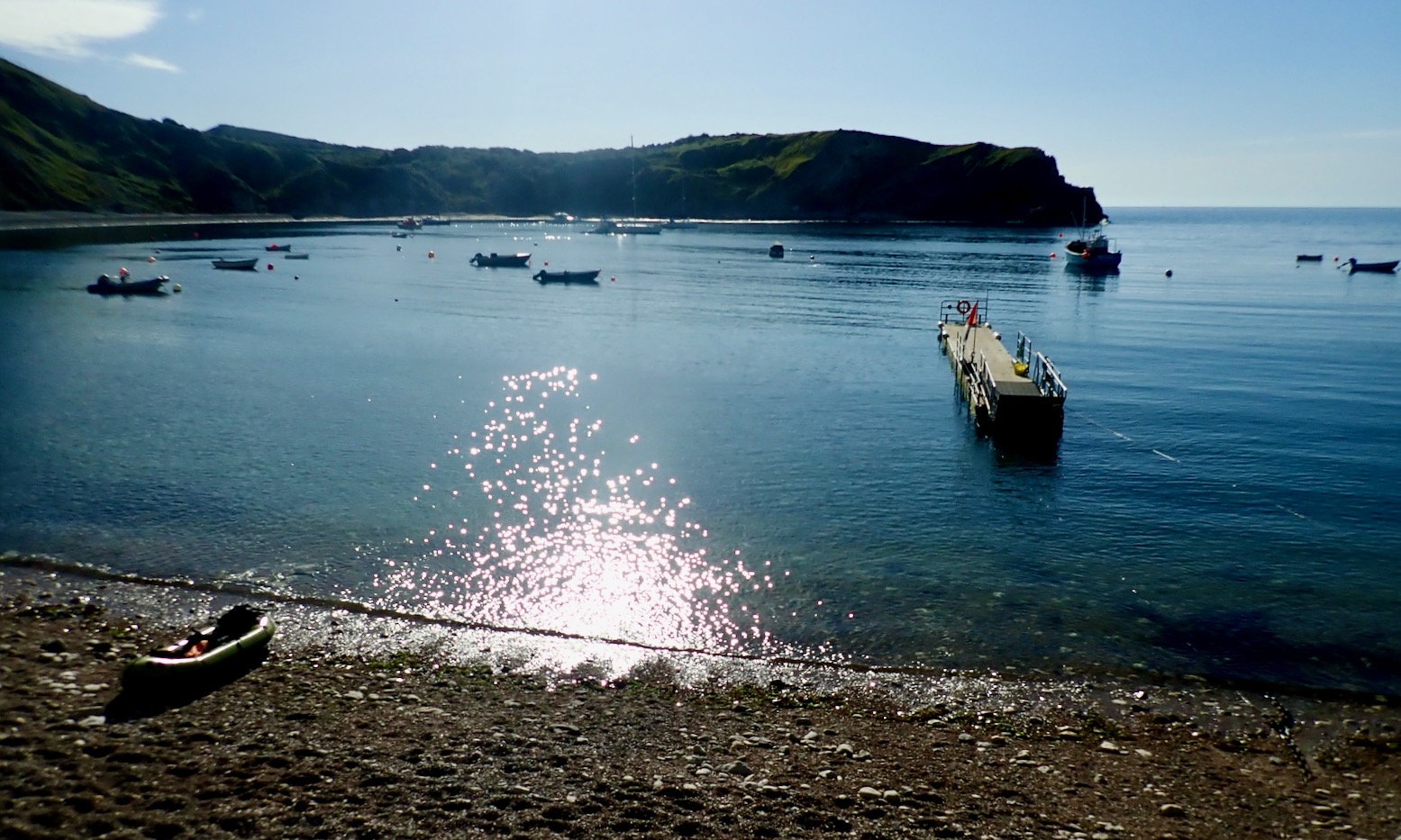
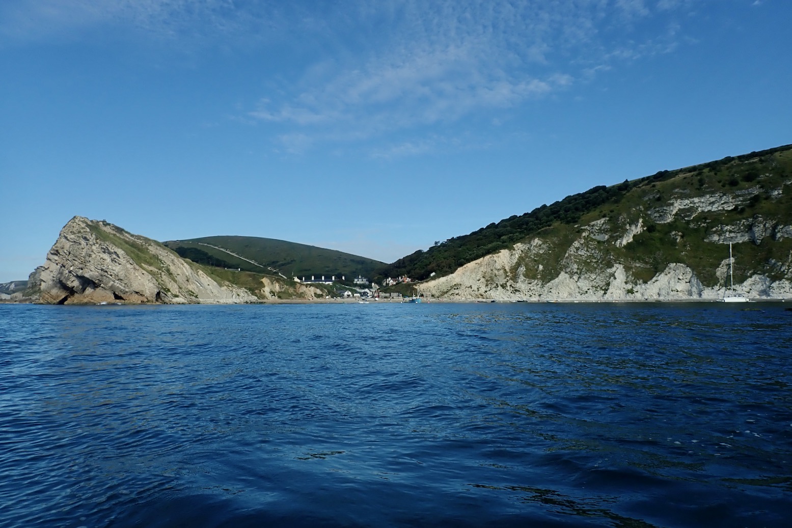
Entrance to the calm waters of Lulworth Cove. It’s a shame to end so soon.
Walking back to the bike, I’m struck by the steepness of the path up Hambury Tout. No wonder I was puffed out. Ready to go, my boat and gear in a bag weighs 8.6kg.
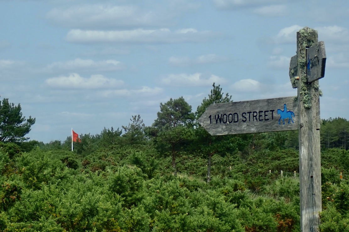
Riding home, some bridleways pass right along the edge of the Lulworth firing ranges and I hear the sound of heavy calibre machine gunfire. They were still at it at 10.30 that night.
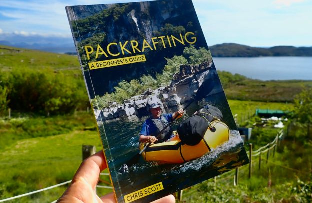
Did I tell you I wrote a packrafting guide book during Covid? I mention it as I happened to reread it the other day after having scanned something similar. ‘Information dense’ I’d call my style – they only gave me 48 big pages. I should have been nominated for an award from the ITF.
‘Calm… caaaaalm’. It’s what you say to a hyperactive child. But it’s also what you observe as you scan a weather forecast: 3-4mph onshore southerly, backing southeast later. With sunshine too, it could be the Last Good Day of the Summer. I left my moto just as they’re opening the gate down to Tynehamghost village. From there the Mrs drives me on up the coast to lovely Lulworth Cove for a sneaky 9am bacon buttie. I do worry about my B12 levels sometimes.
All calm at Lulworth
“Oh wow!” squealed a little girl as she also arrived with her family at Lulworth beach. And you can see why; it’s an amazing natural feature which along with others help make Dorset’s Jurassic Coast a World Heritage site. Within an hour the renowned amphitheatre would be standing room only but hey, it’s August on the South Coast; if you want a lone beach, pack a mac and go to the Outer Hebrides.
Red shaded area is army firing range which – land or sea – is usually closed.
Today’s plan was head east 9km to Kimmeridge Bay as I gradually joined the dots packrafting Dorset’s Jurassic Coast. This time last year Barrington and I sailed here from Ringstead Bay near Weymouth, before getting sent into Lulworth Cove by an army patrol boat. The following eastward section of coast is an army firing range that’s only open to the public on weekends or throughout the August holiday season. And even then, some landing spots are closed, and inland you have to stick to the paths in case you step on an unexploded bomb. Tragically that happened in 1967, though thankfully only once and as a result, today warning signs along the footpaths are everywhere.
Leaving Lulworth
Once out of the cosy Cove, the first section should be easy enough, but if not I could hop out at Warbarrow Tout, walk a mile to the bike at Tyneham and ride home. Continuing all the way to Kimmeridge depended on confidence and energy levels, and how the sea actually looked once out of the sheltered Cove.
Today I’ve remembered everything, including my repaired Multimat floor pad. All you need is to get into a routine; let me know how to do that. And as I set off towards the Cove’s mouth the TXL definitely has its glide on. I have two hours before the tide turned and the wind with it, but right now the boat felt great. I even remembered to pull up my knees straps, and felt nicely connected between the TXL and my paddle blades
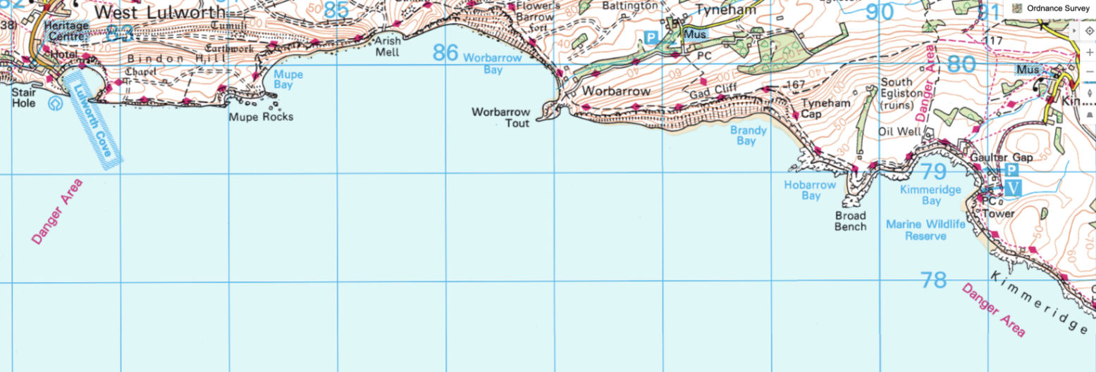
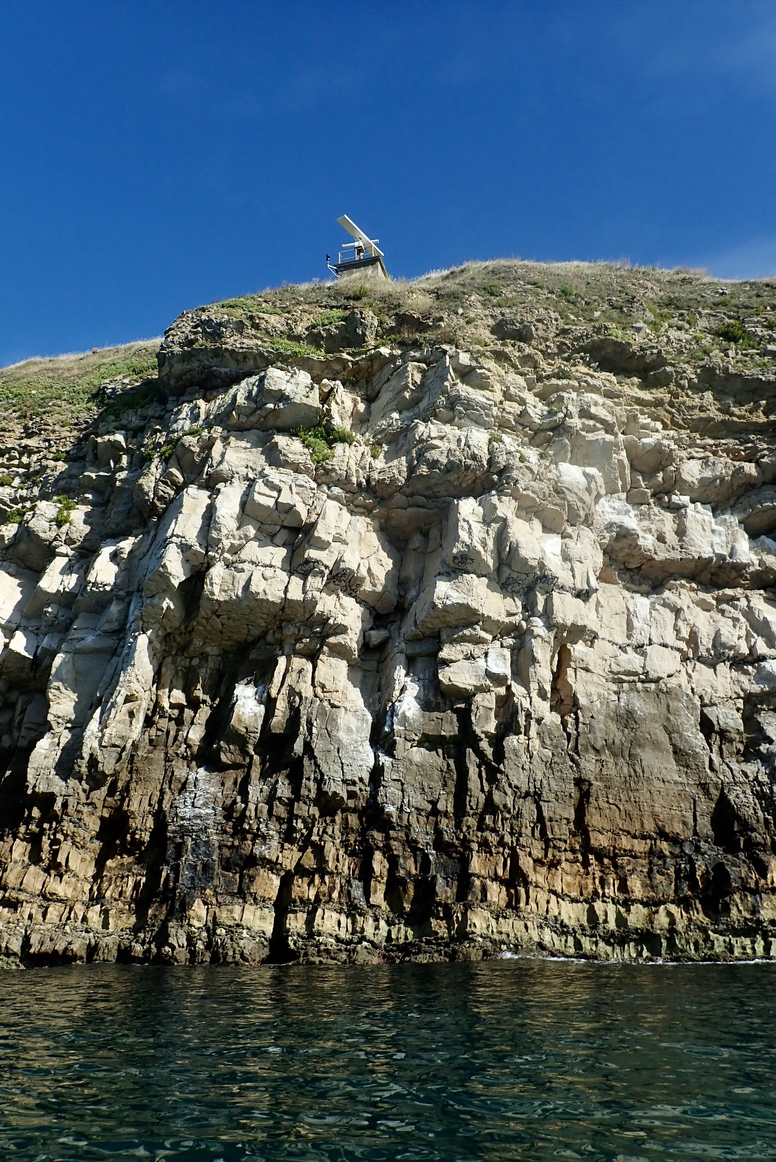
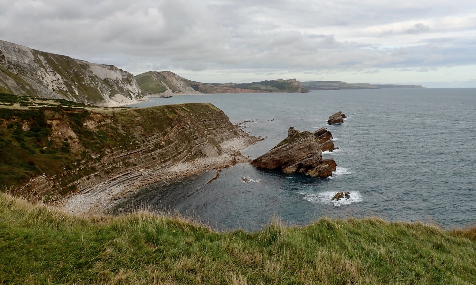
Towards Mupe Rocks I had the odd sensation of offshore waves bouncing off the cliffs – it made getting close tricky. I see on an online marine chart (below) the seabed drops off quickly here so the swell just rolls in and boings back out. They say there’s a petrified tree here somewhere – or ‘Fossil Forest’ in over-heated tourist-speak. But I learn later it’s by a path on the cliff top where there are also periodic radars (left) and other sinsiter MoD installations.
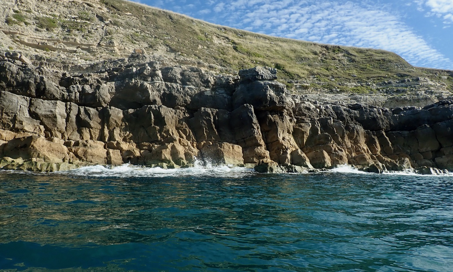
Mupe Rocks turn out to be rather ordinary remnants of fallen cliff, not like the gleaming white chalk stacks I paddled last week near Old Harry. With no interesting arches or caves, I thread about but they’re a bit disappointing.
Mupe Rocks
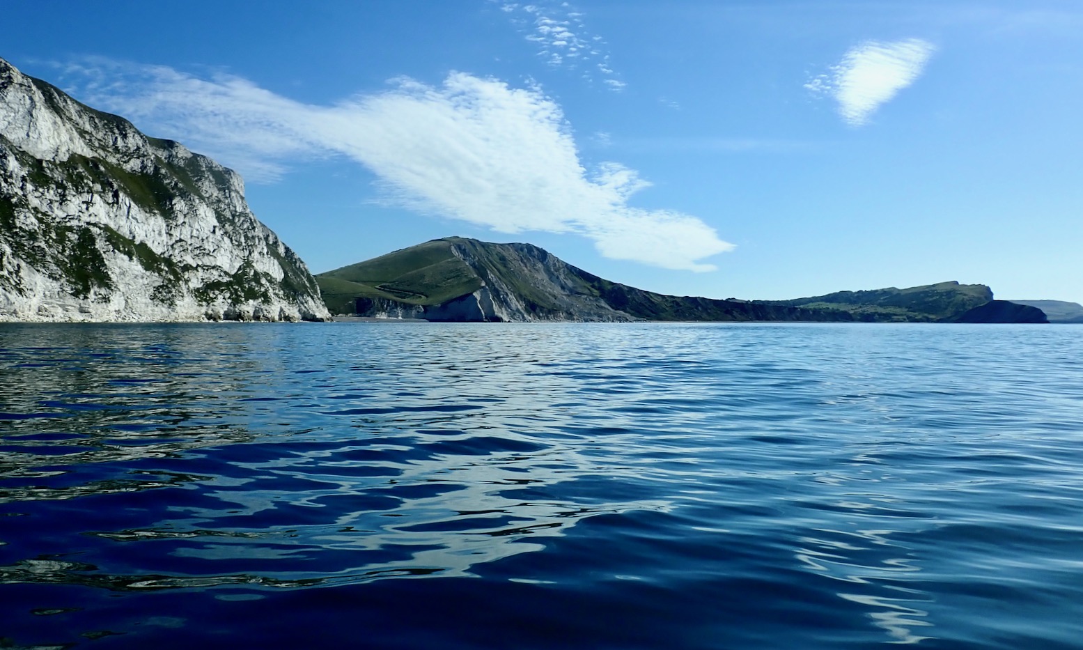
Seaweed streams reassuringly eastwards with the rising tide, and as I round the corner Mupe Bay opens up, revealing half a dozen moored sailing boats. Behind them rise the steep chalk cliffs which you can see for miles down the coast.
Mupe BayMupe Bay and Warbarrow, a day or two later.
Landslide
I wonder about putting ashore at a gap in the cliffs called Arish Mell because I can. But perhaps I can’t, even in August, if I have interpreted the map warnings correctly. Behind the beach I spot some huts, shipping containers, pickups and activity. As it is, my equilibrium is disturbed by some strangely large waves rolling in across the middle of otherwise calm Warbarrow Bay. A submarine shelf? They’re not crashing ashore as far as I can see, but I decide to stay out in the Bay.
Arish Mell gap
Activity on the Mell
Turns out Arish Mell is off limits 24/7/365, using the proven UXO gambit which didn’t seem to be bothering the chappies ashore today. Another possible reason may be that from around 1959-1990 give or take, ‘slightly radioactive effluent’ was piped out here from the former Winfrith nuclear research facility a few miles away near Wool. They’ve been decommissioning Winfrith ever since, and we should be grateful that with much effort they saw fit to extend the outfall pipeline two miles out to sea. You can see the pipe on that marine chart above. Coincidentally, this week Japan started doing the same thing at the damaged Fukushima reactor, raising the ire of seafood enthusiasts in China. Meanwhile, this well-produced 1959 Atomic Energy Authority promotional film describing the pipeline project seems very proud of itself.
So I set course for the conical headland of Warbarrow Tout (old English for look-out) at the far end of the Bay. The sinister waves subside and something else changes: the TXL glides across the smooth surface effortlessly. I am able to draw a long, slow, kayak-like paddle cadence, not the usual thankless spinning. Later the GPS data revealed the combination of windless conditions and the Multimat helped the raft skim along at up to 6.2kph or 3.8mph. I’m not sure it’s ever sailed that fast so, even aided by the final hour of a modest, metre-high tide, that’s quite impressive.
Actually, I don’t know why I’m so surprised. Although I seemed reluctant to admit it initially, the first time I tested the TXL with the Multimat in the Summer Isles, the evidence was right there (left), even if it wasn’t night and day.
Approaching Warbarrow Tout
As I neared the Tout I was anticipating some sort of disturbance from an eddy being pushed out by the eastern hook of the Bay. Sure enough, the TXL passed over a patch of clapotis without breaking it’s stride, but as I moved on past Pondfield Cove (a mini Lulworth) something changed again – the boat seemed to slow to a crawl. The coastline was creeping along but a check the GPS only registered a slightly slower speed.
Warbarrow Tout and Gad Cliffs beyond
As usual with winds, other anomalous currents and flotillas of irate pirates, I wondered if this would set in or get worse all the way to Kimmeridge, with get-offs but no take-outs along the way. I decided to carry on below the Gad Cliffs to the prominent Wagon Rock and if nothing changed, I’d turn back and walk out to Tyneham.
Gad Cliffs. Dorset’s cubist Mount Rushmore
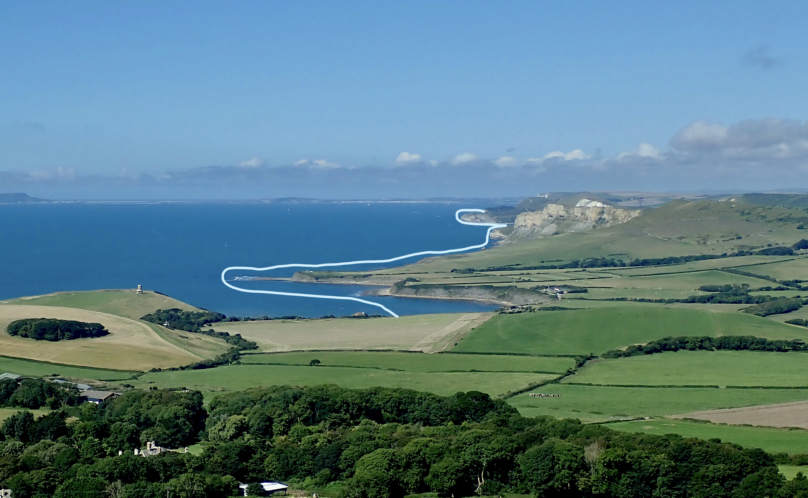
But by Wagon Rock the countercurrent had subsided and the GPS later showed I resumed the steady 6kph pace. Sea paddling alone an semi-appropriate boat makes you more alert to minute changes in conditions which a sea kayak would pass with barely a shrug. I later wondered if it was possible the eddy from the hook formed by Warbarrow Tout could draw back or suck in a current ‘beyond’ itself, as shown below. Who can fathom the mysteries of fluid dynamics?
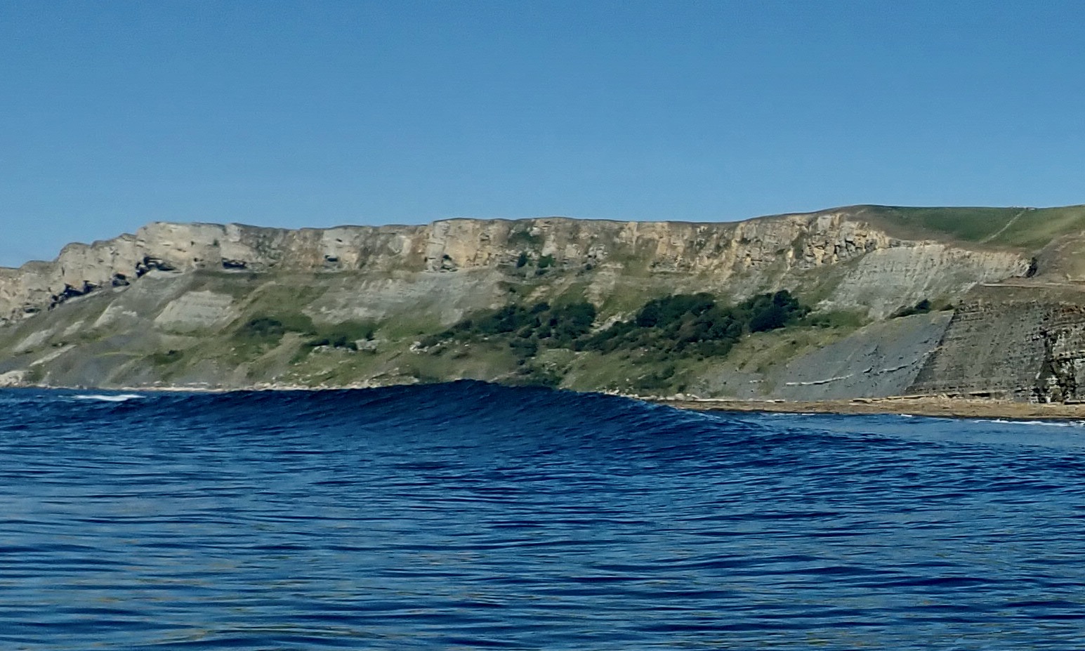
Beyond Wagon Rock the grey sweep of Brandy Bay‘s oily shale cliffs plunged down to the sea. Up ahead I was reassured by the sight of Clavell Tower, just 3km away, marking the far side of Kimmeridge Bay. Less comforting was the breaking water between me and it: the ledges of Broad Bench spotted when I paddled the Igla here a few weeks ago. It would be alarming to have one of these rise up on you out of the blue (below).
Sneaky wave
As always, the solution to such unpredictable seaside disturbances was to paddle further out, even if the instinct (and interest) was to hug the shore. I aimed for the distant St Adhelm’s Head and safely rounded the churning maelstrom of Broad Bench, with the bedrock visible a few feet below. That done, the crossing was in the bag and I worked my way towards the beach where crowds were streaming down to the shore with their dogs. Nine clicks covered in less than two hours from Lulworth. Not bad.
Brandy Bay in a gale.
Interesting shelf
A few weeks ago we walked the coast from Tyneham on a very windy day. At low tide the ledges at Brandy were a froth of white foam (above). Today, walking back 4km to Tyneham, the Long Ebb shelf delineating Hobarrow Bay was already emerging from the retreating tide. Looking back, I was reminded the nearby big shelf (left) behind Broad Bench was worth a nose about for fossils or dubloons, even if MoD poles discourage this and you can only access it by boat. It’s one for next time.
Above Tyneham looking back to Mupe Bay
Midday and Tyneham car park is already packed. Another section of the Jurassic ticked off or recce’d for another pass. Hopefully there’ll be a chance to do the 6km from Kimmeridge to Chapmans Pool before we roll up for the winter. That will leave the two points of St Adhelms and Durlstone for the next caaalm day.















 Inflatable Kayaks & Packrafts