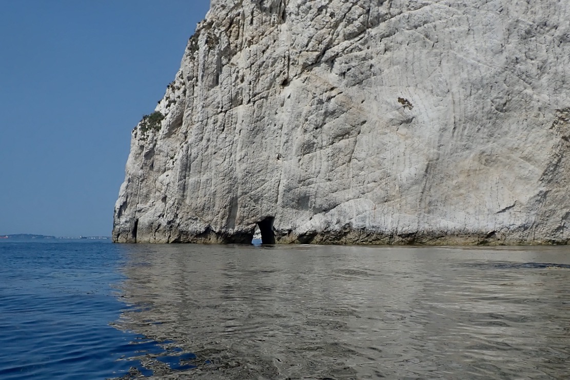
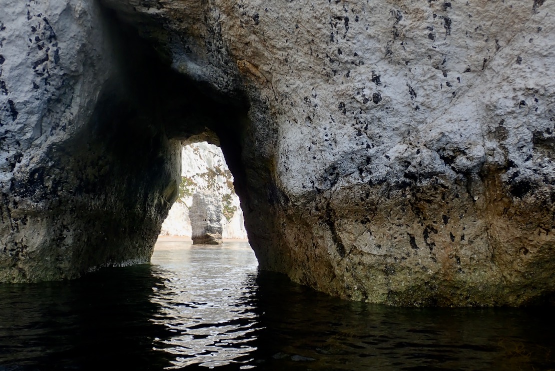
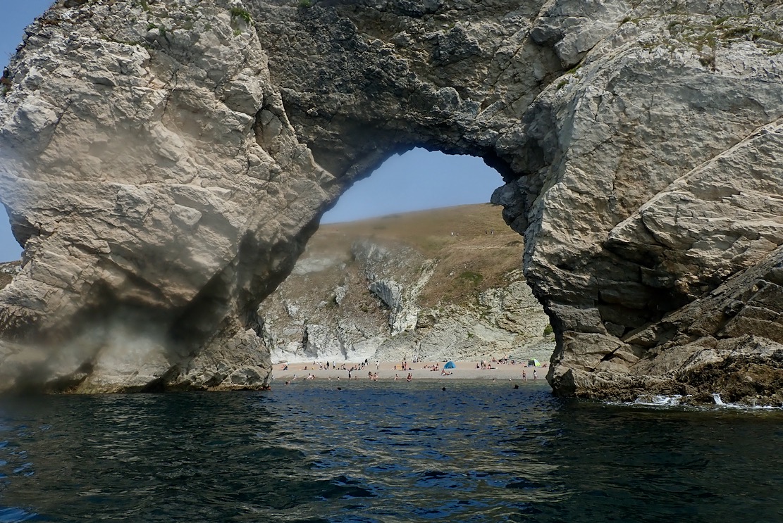
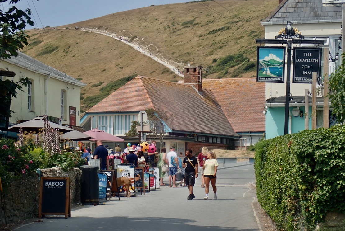
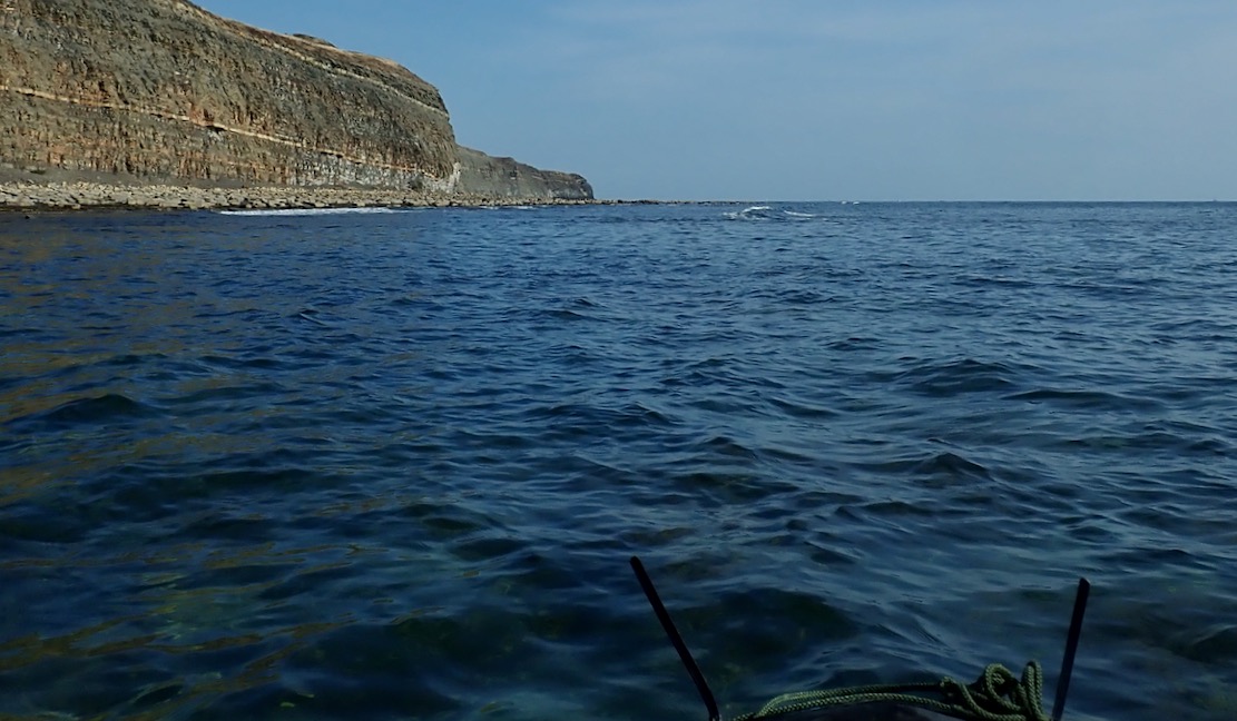
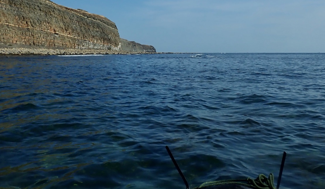
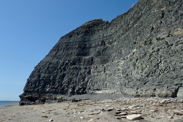
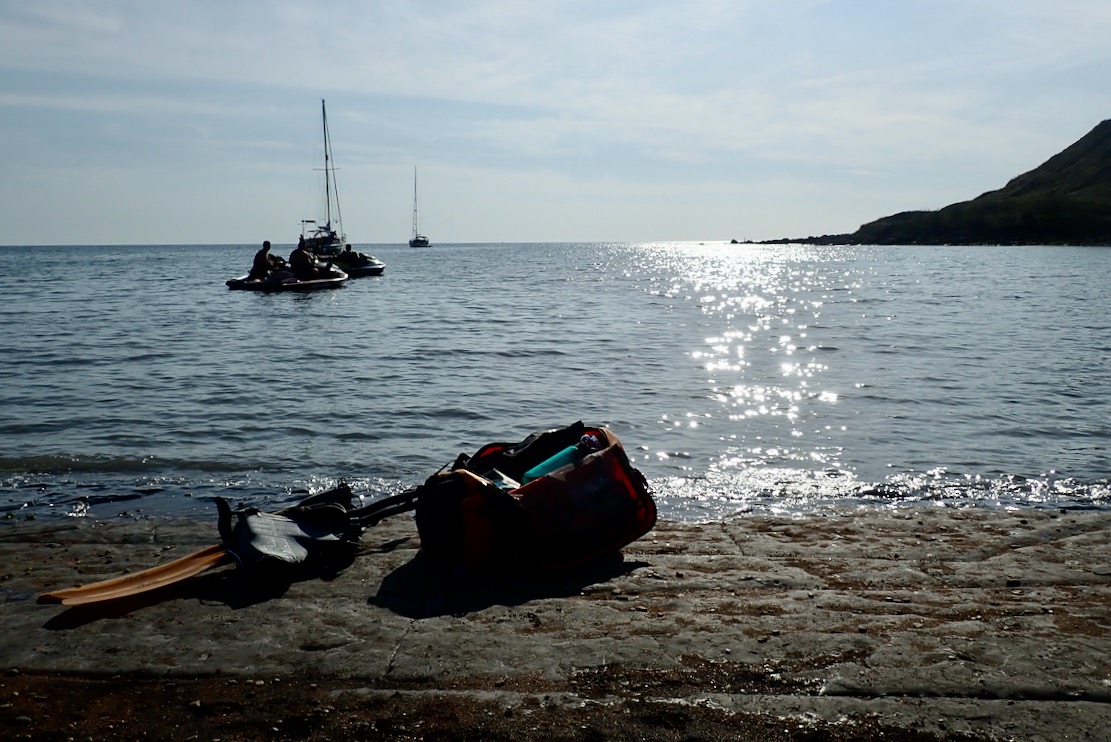
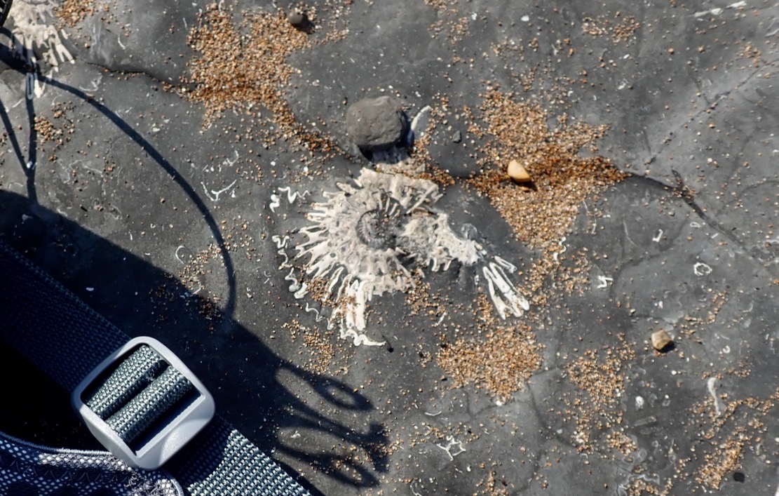
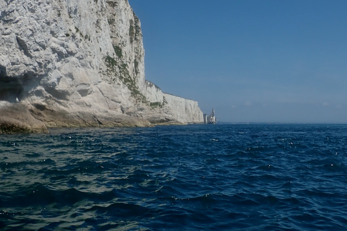
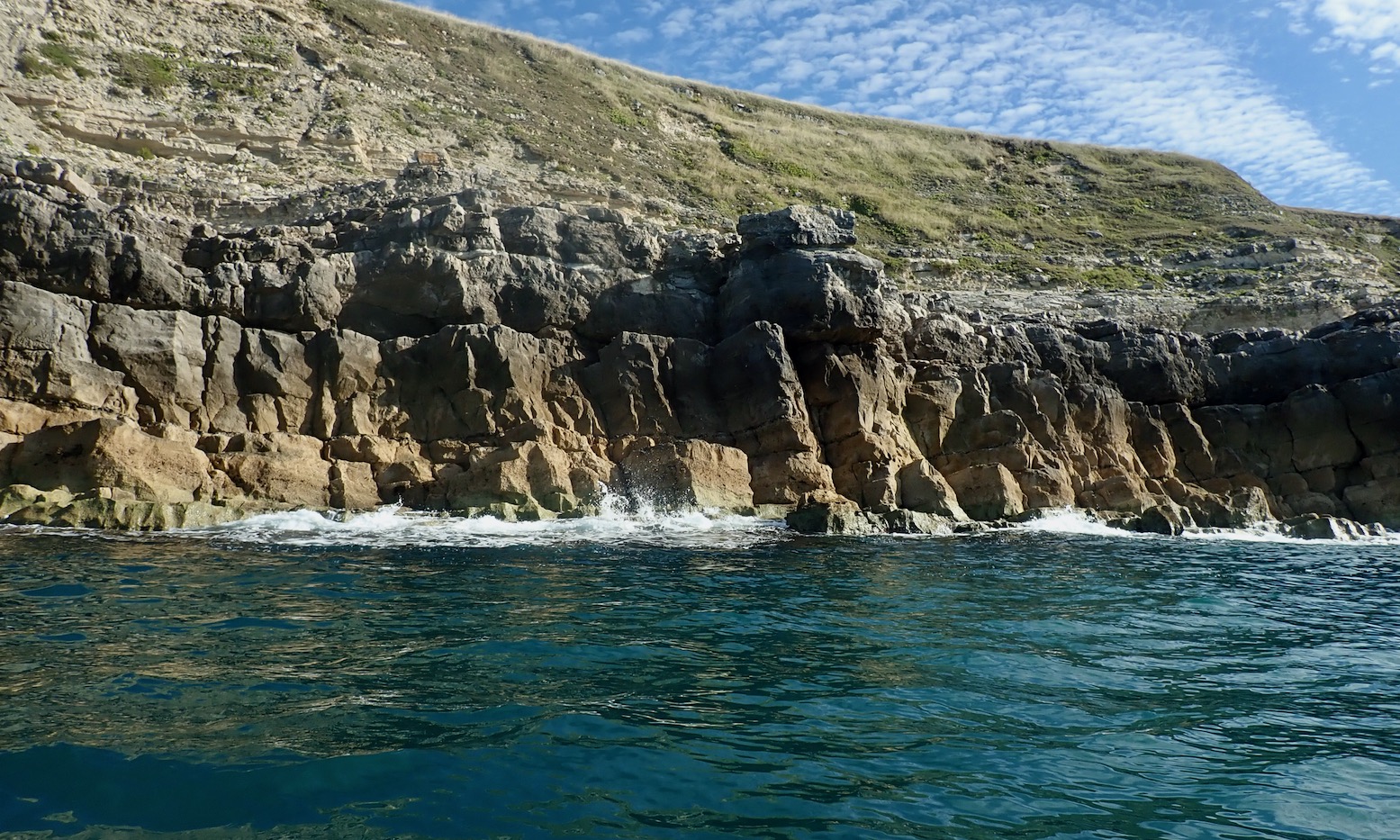
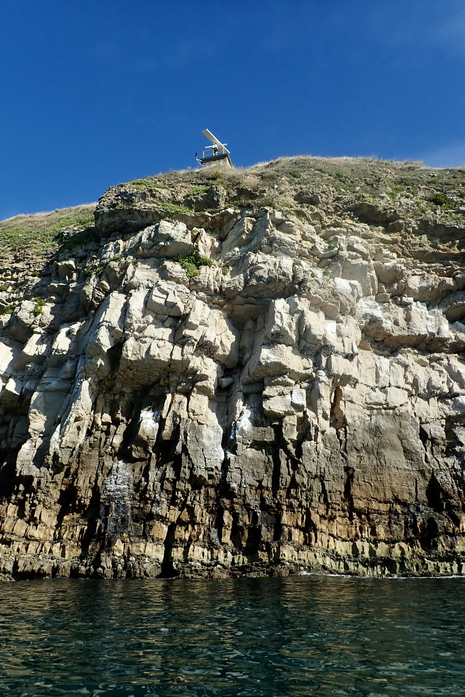
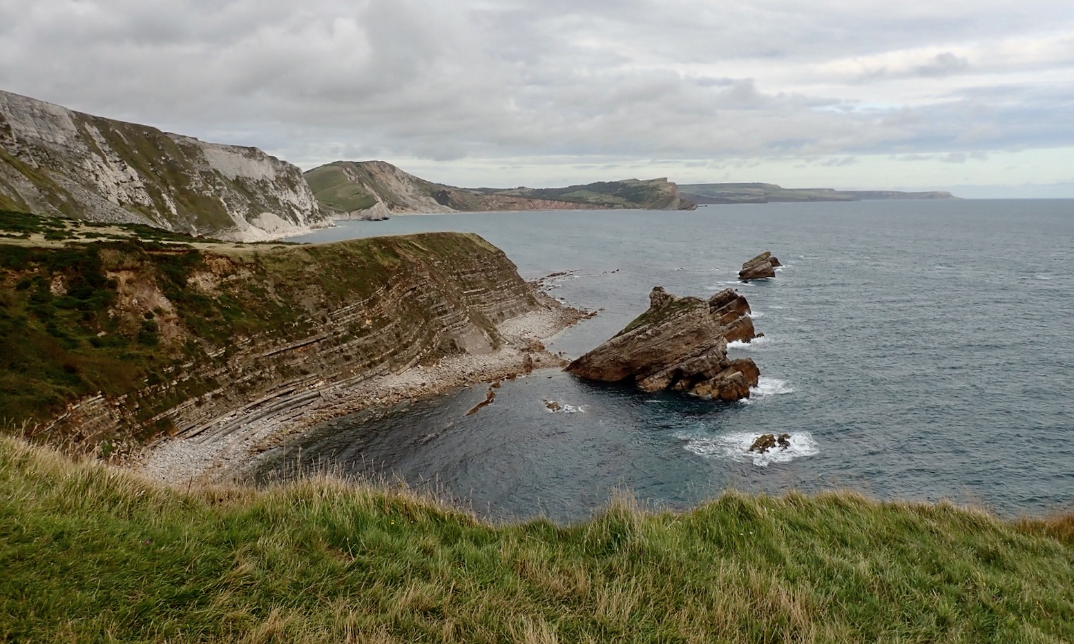
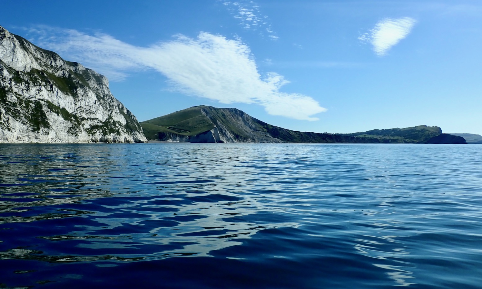
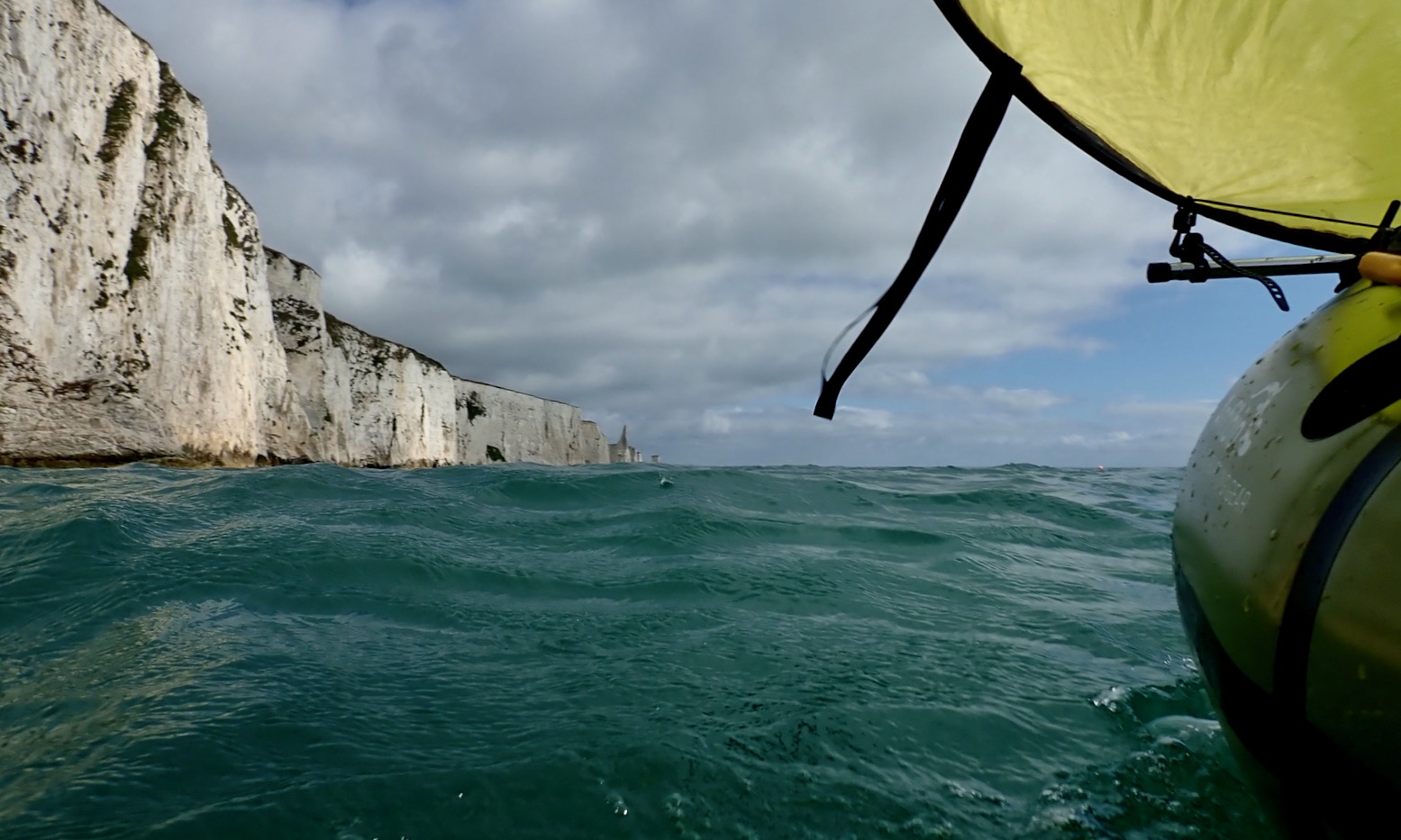
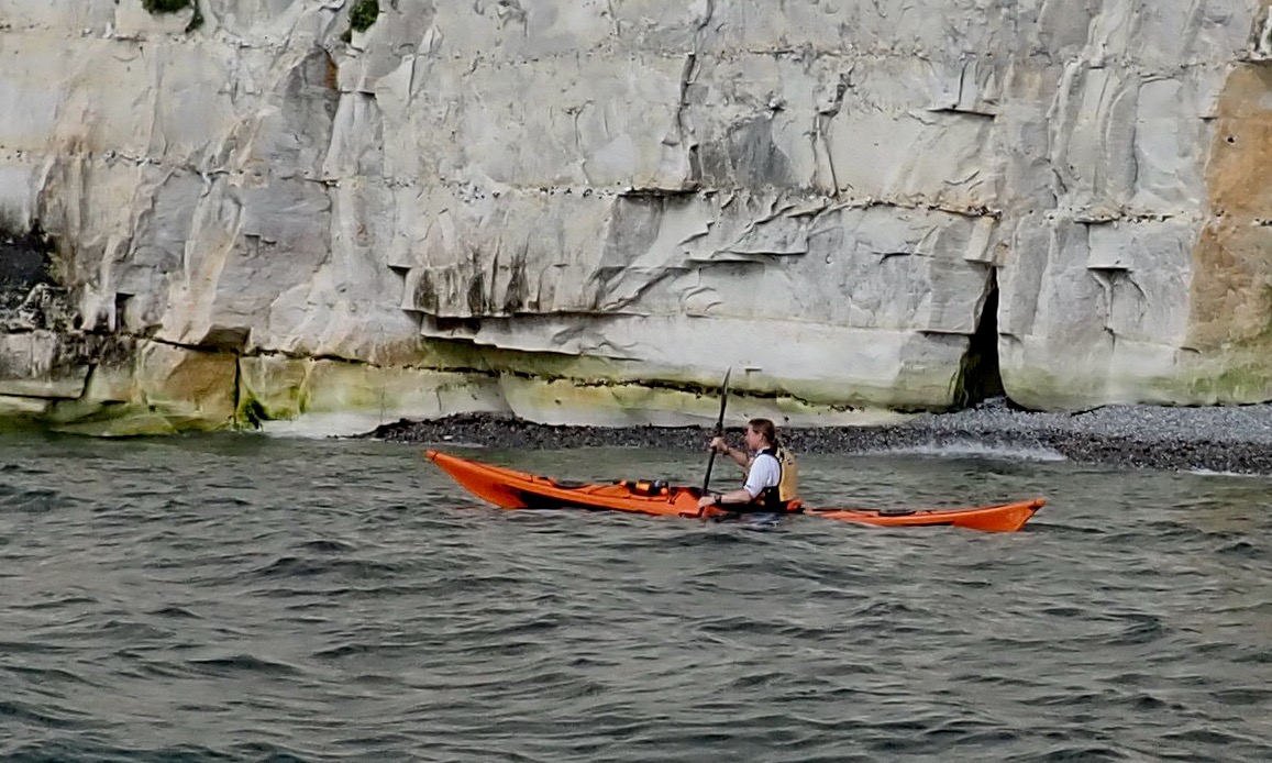
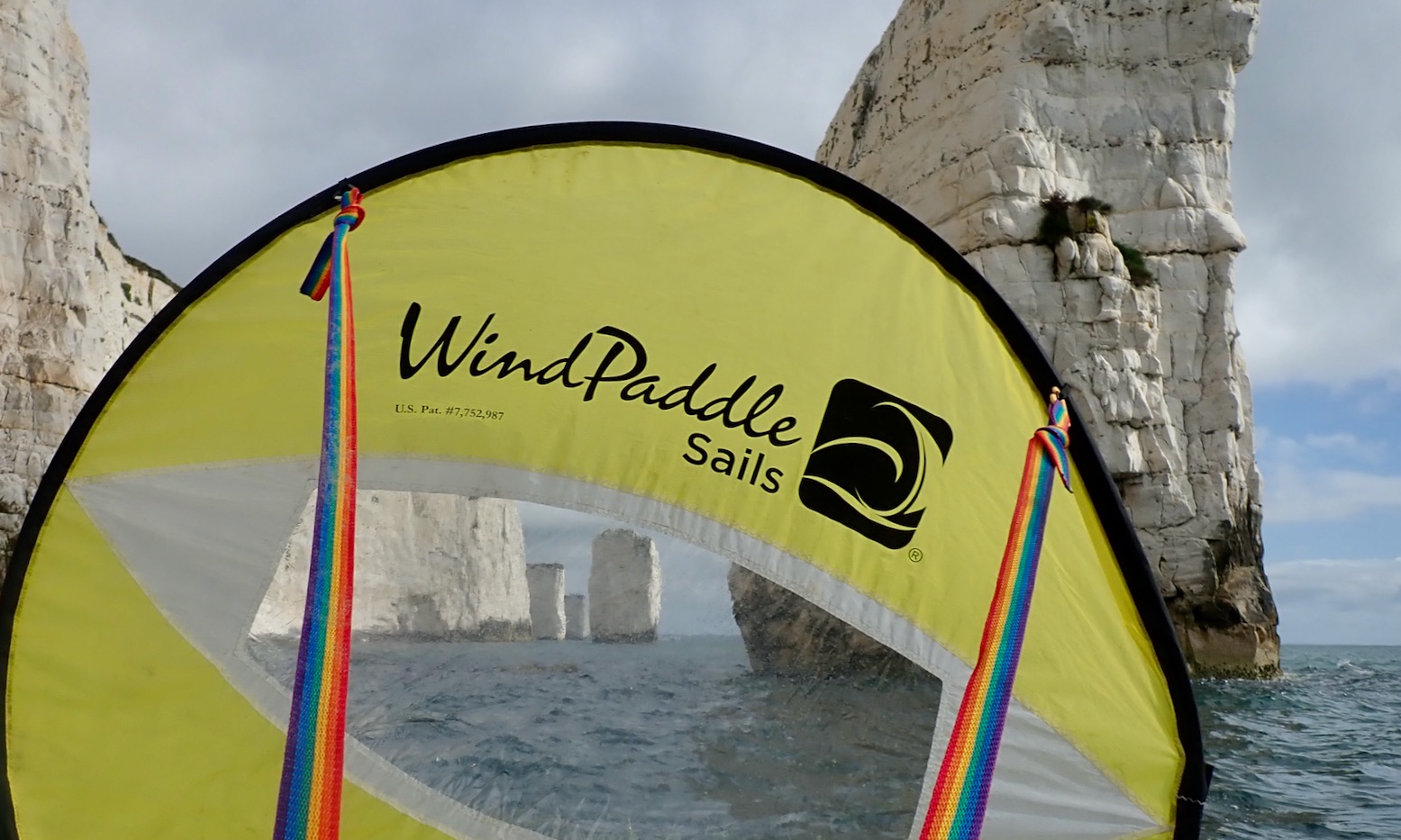
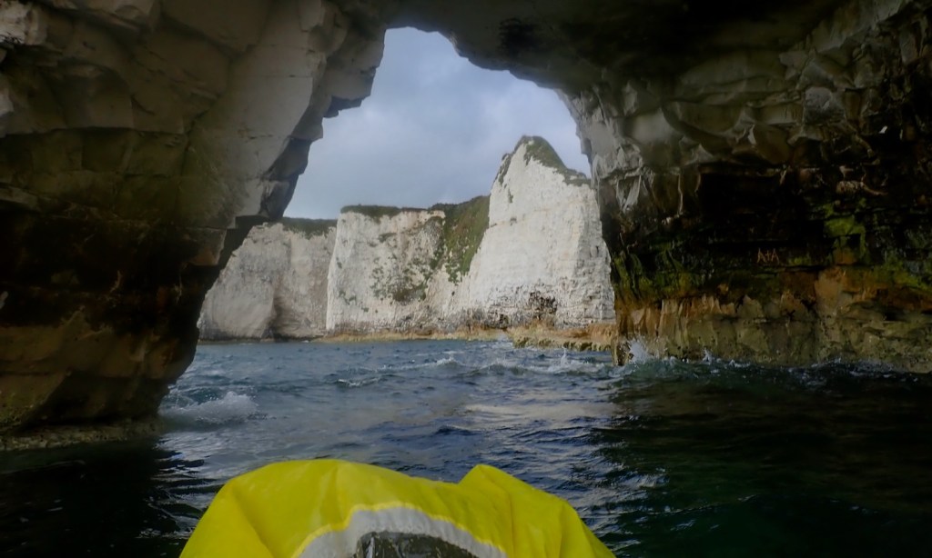
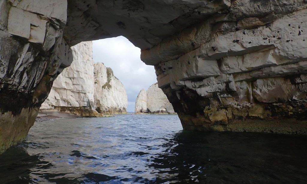
The last time we paddled this part of the Jurassic Coast (video above; more here) we were zipping along under sail or navigating in choppy waters and I didn’t get a chance to have a good look around. Now the latest heatwave and strong winds has subsided, today I wanted to take a slow ride along this world famous section of coast riddled with geological marvels.
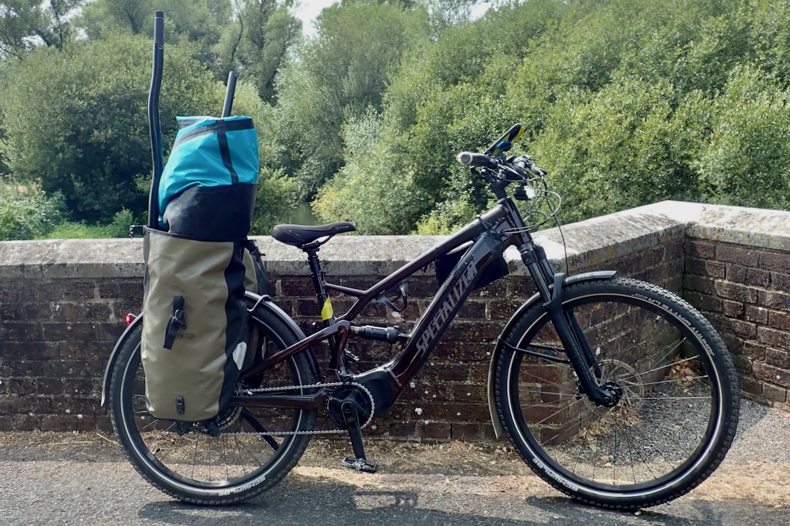
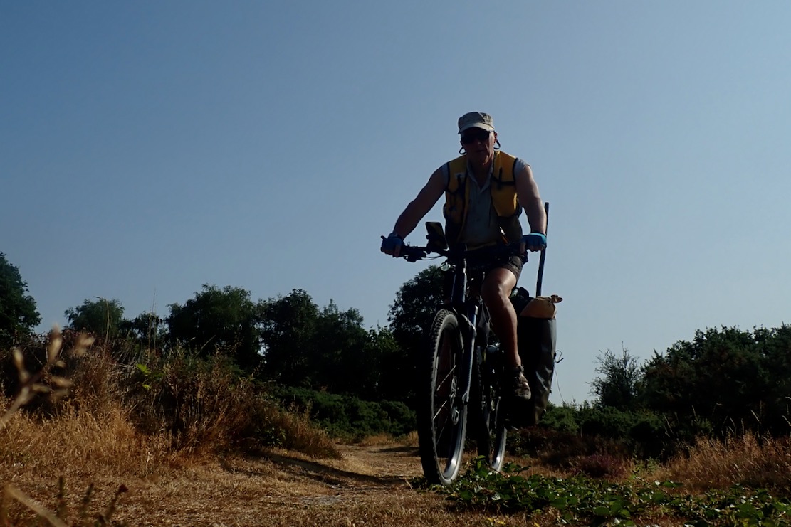
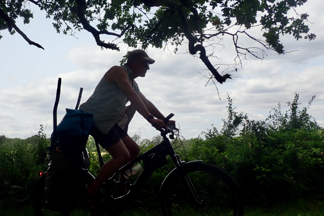
The Lulworth Estate owns this spectacular stretch of coastline and makes several million a year off what must be the most expensive car parking in Dorset. And while you can get here on a bus, I’ve got a new way of getting around for packraft day trips: an e-MTB which can tackle bridleways and traffic-free backroads with the boat shoved in the panniers.
PackhaulingTraffic-free byways
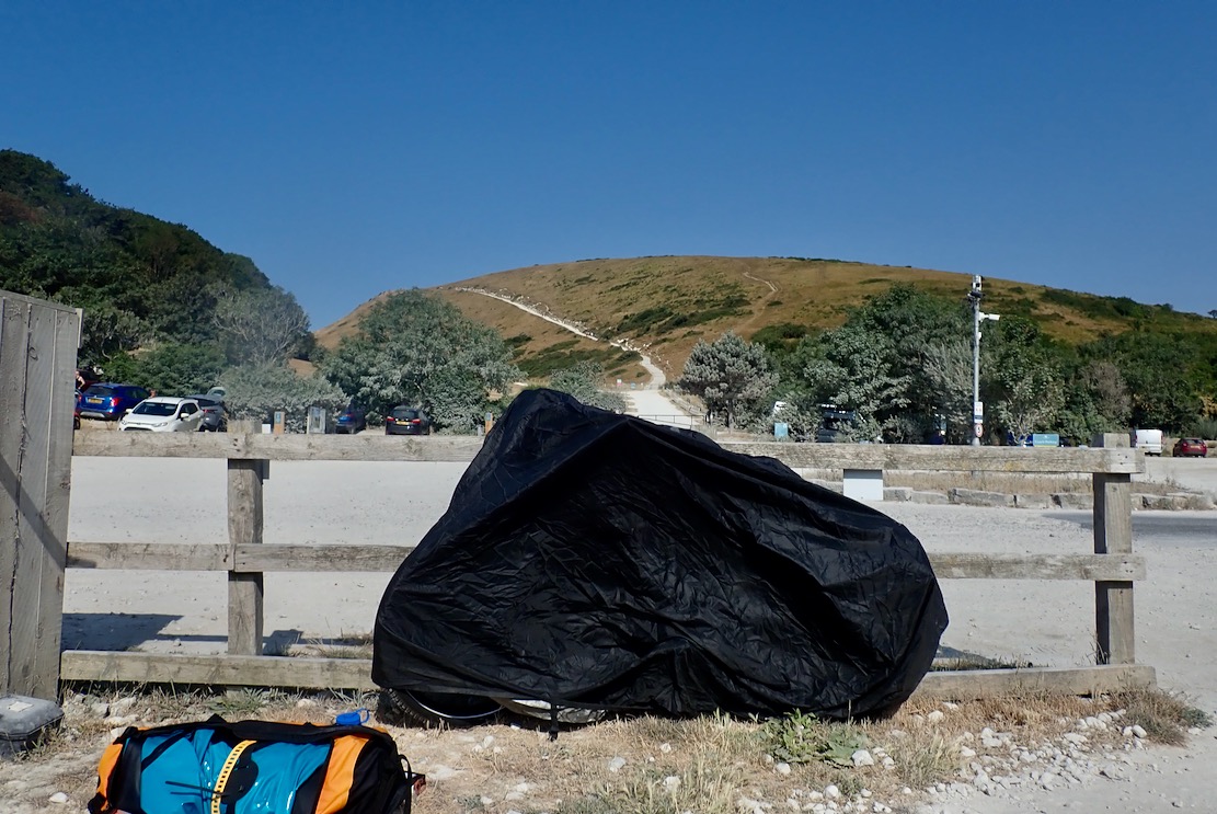
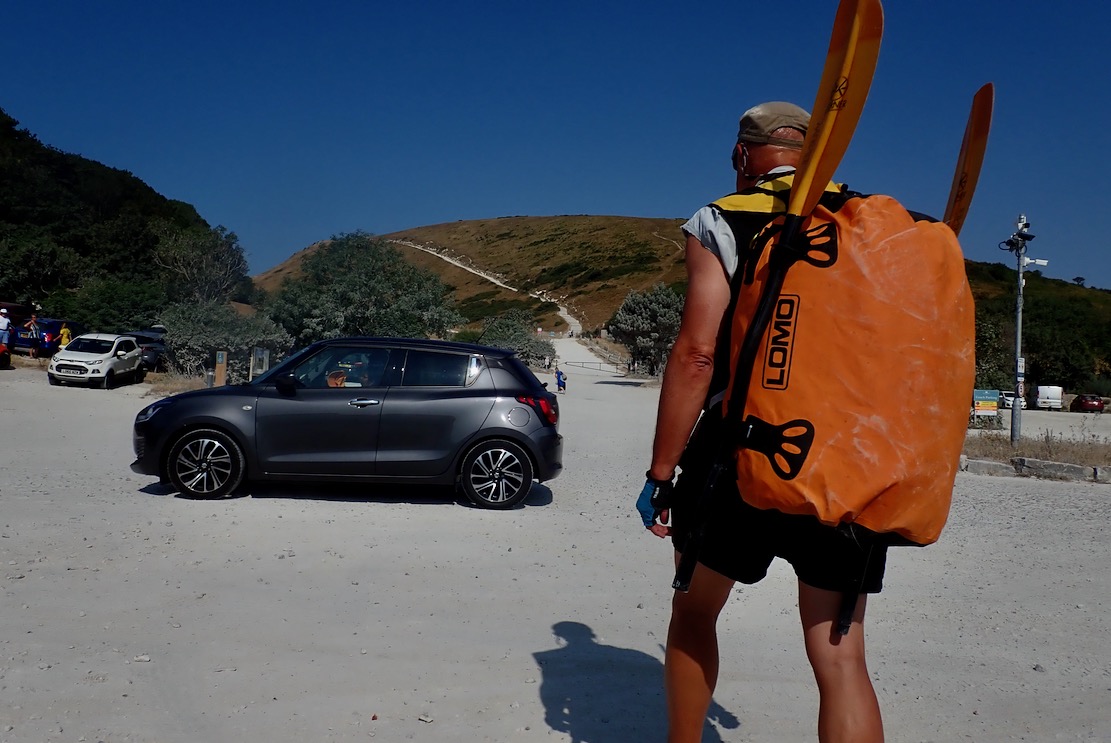
My e-bike weighs 28 kilos – double a normal MTB – and, along with the delicate electronics which have already played up in the rain, is not a good candidate for seawater bikerafting. That proved hard enough the other week with my folding bike at less than half the weight of the e-bike. So at Lulworth Cove I locked the bike to a fence and covered it, hoping I’d not get clamped, then set off for the long haul up and over Hambury Tout to Durdle Door beach.
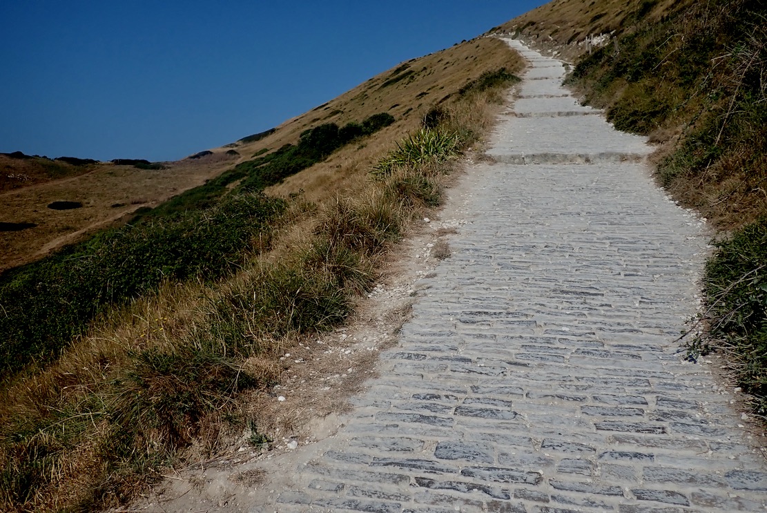
Thankfully some of the parking millions has been spent on a cobbled path making the climb as easy as you can expect. But in one go it’s still like 20 minutes on a cross trainer.
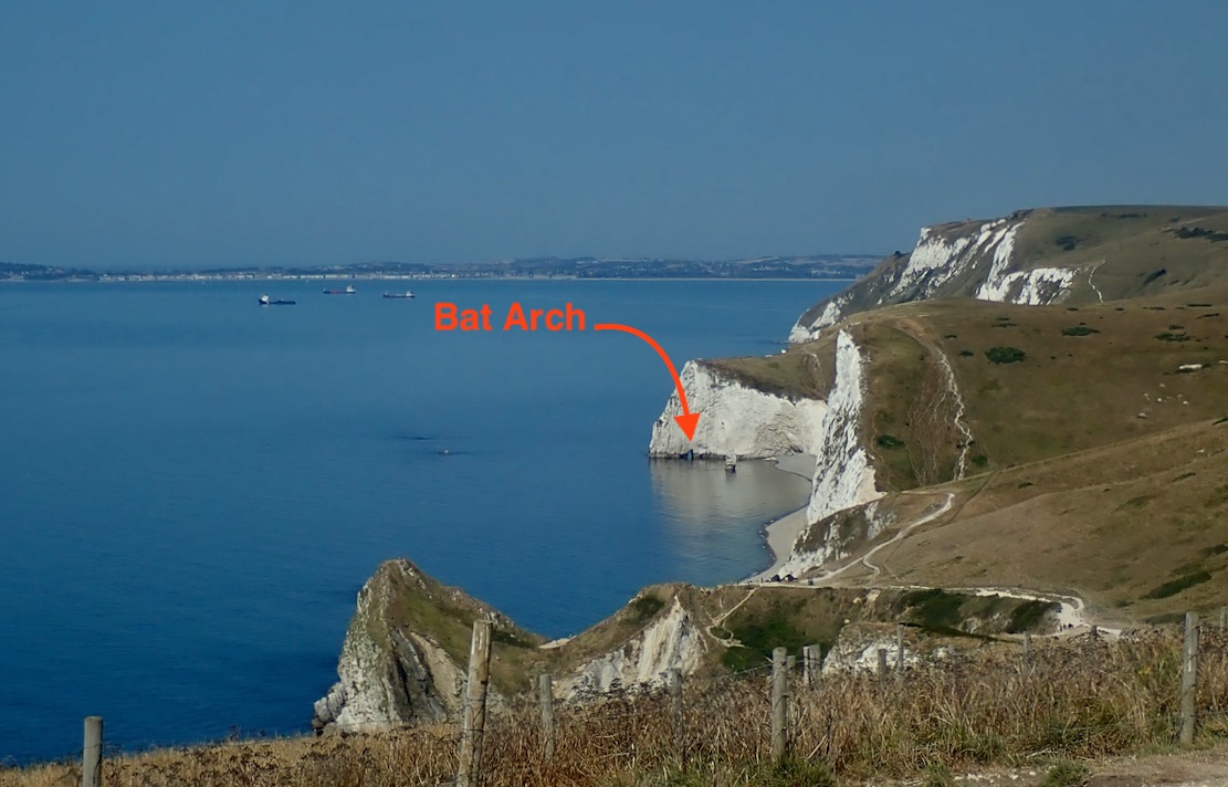
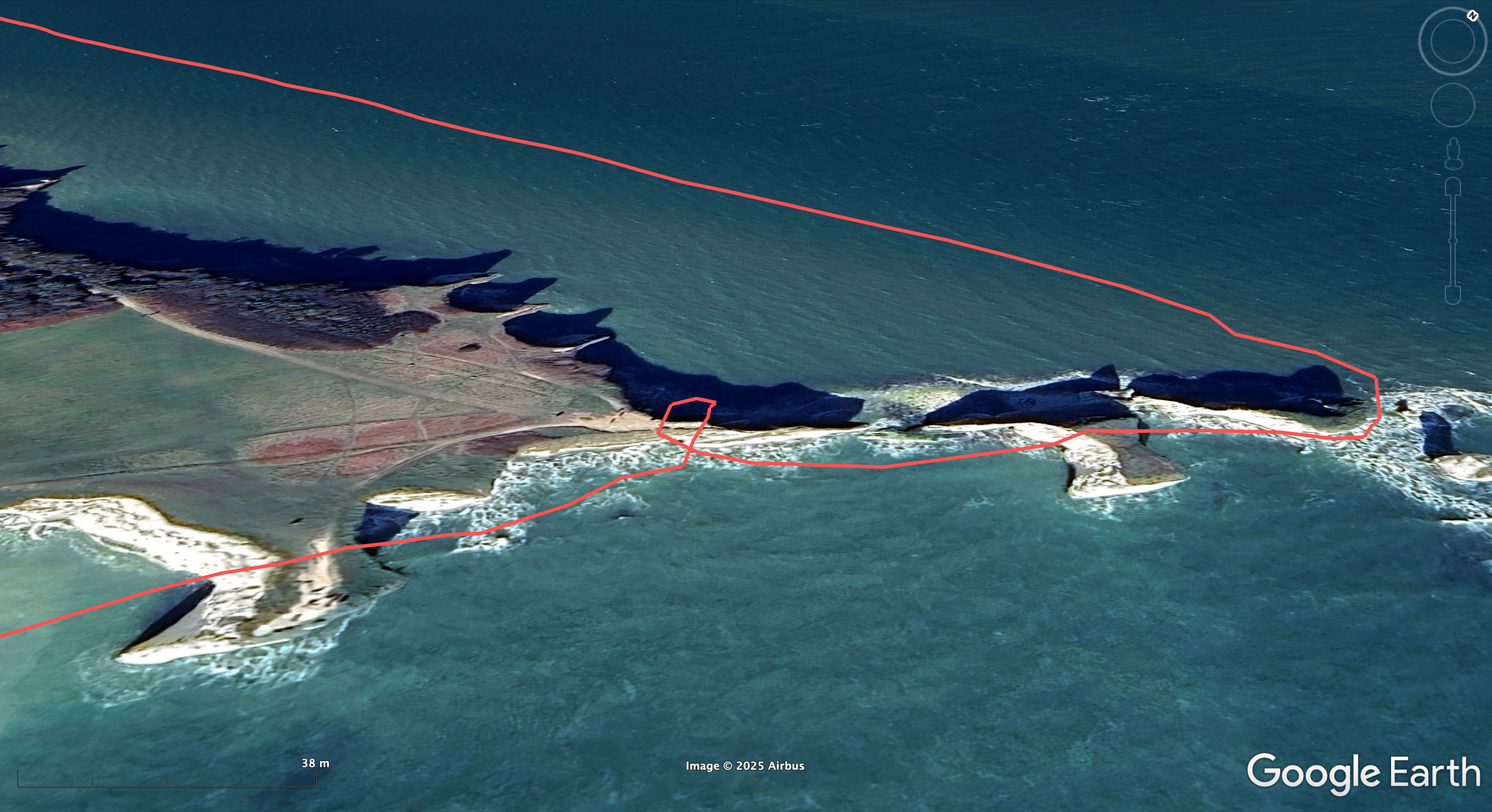
My plan was to trek to the far end of Durdle’s gravel beach, paddle through Bat’s Hole arch, then come back via Durdle Door and Stair Hole to Lulworth Cove. All up only about 4km. A neap tide was coming in and winds were a cooling 5mph from the east, turning onshore at noon.
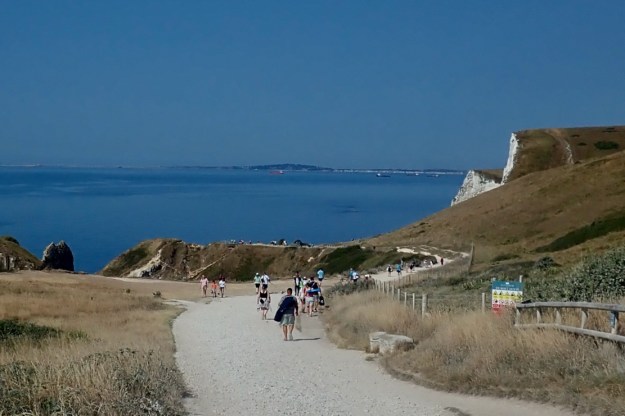
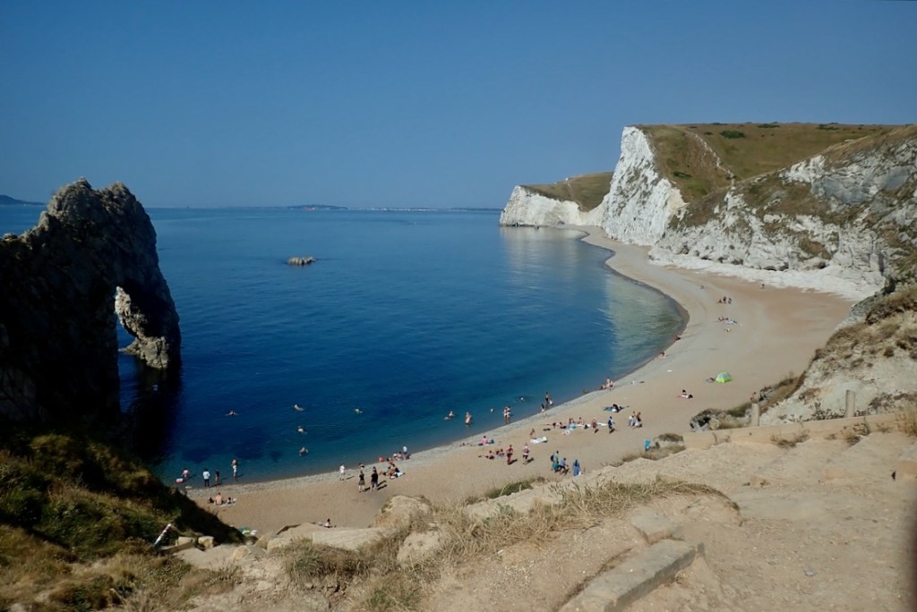
Crowds thicken as you near Durdle Door and you’ll easily hear half a dozen foreign languages as pilgrims the world over come to view the limestone marvel.
And you can see why. From the top it all looks amazing, though not always after a busy day. I’m pleased to see the sea is glassy smooth.
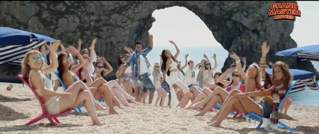
At times Durdle Door must be the most culturally diverse location in all of Dorset, and is especially popular with people of an Indian heritage after a Bollywood comedy called Housefull 3, was shot here.
I trudge on and pass a woman inflating her SUP. Perfect day for it.
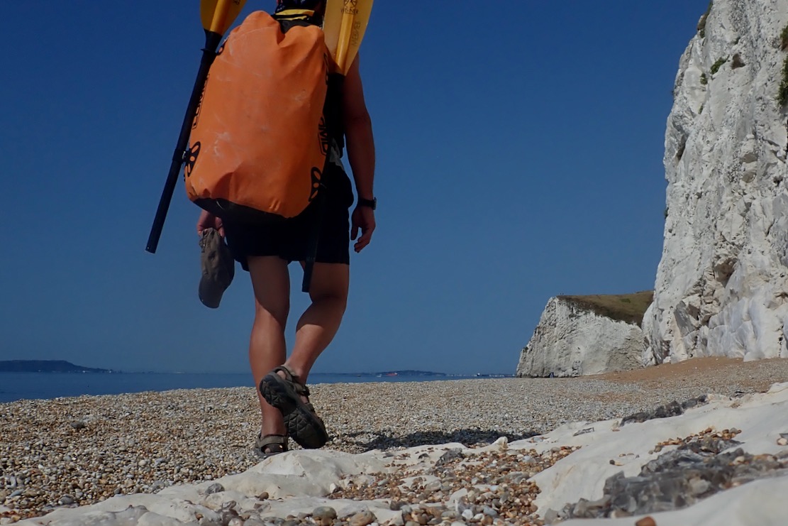
While the fine gravel gets jammed in my Omniums, at least there won’t be the nuisance of sand to wash off.
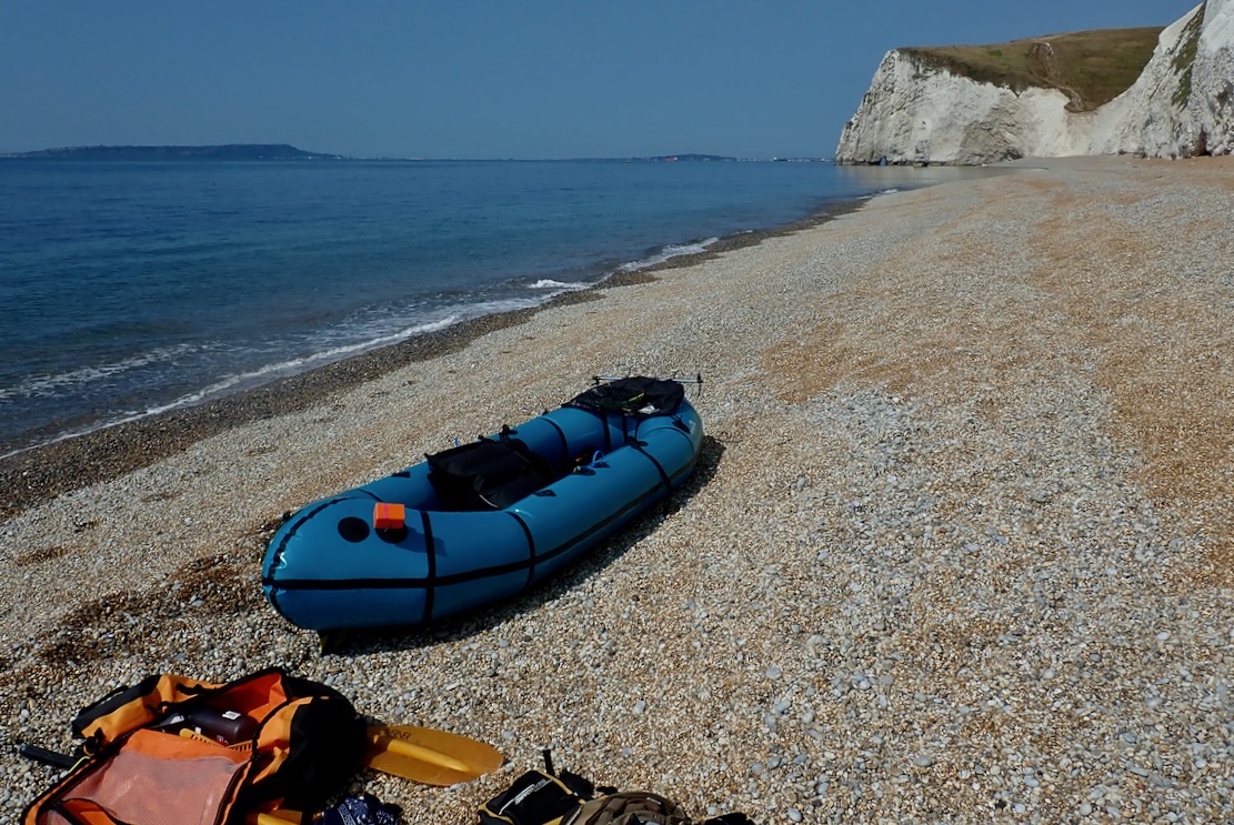
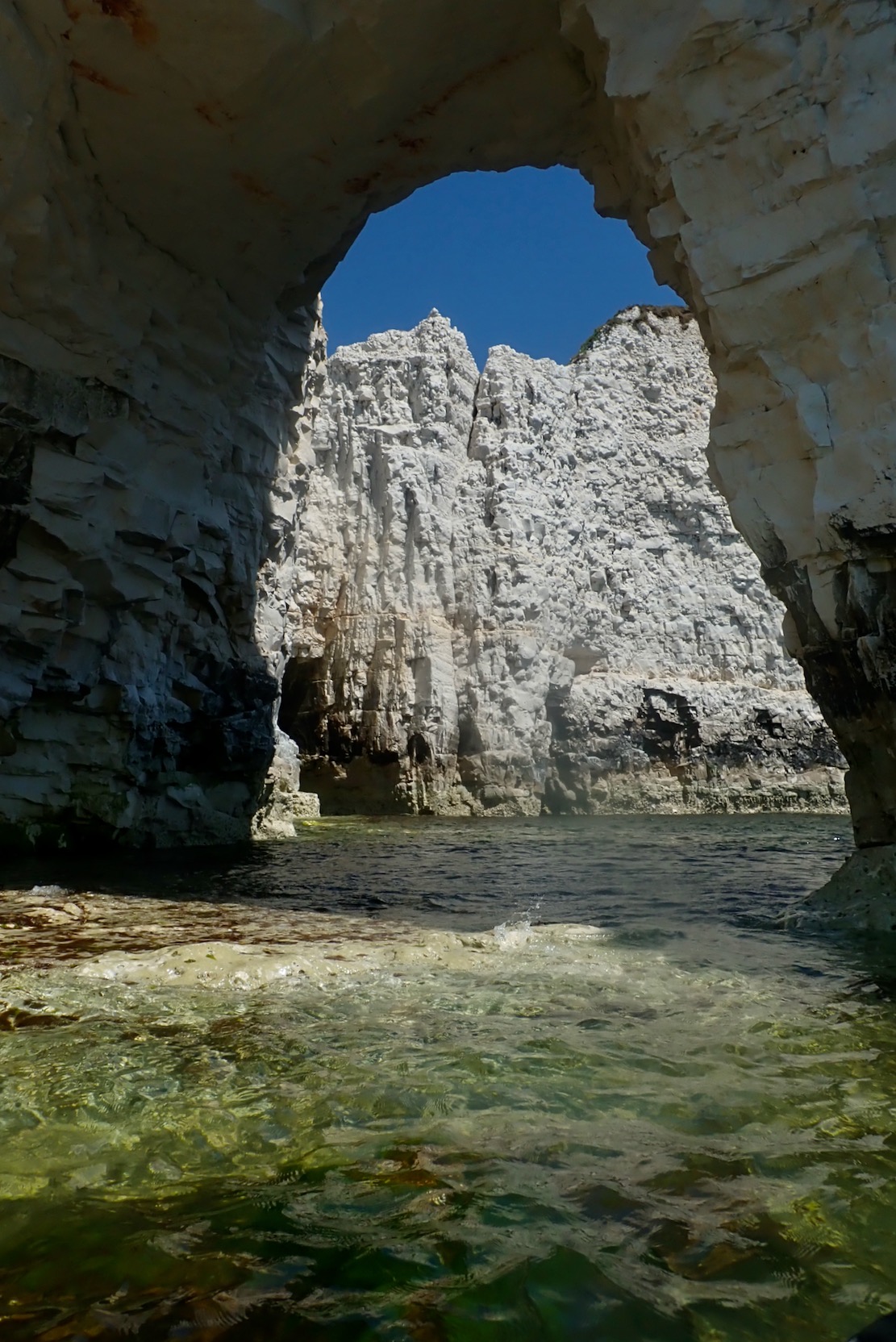
Approaching Bat’s Hole. By the time Durdle Door collapses into the sea and becomes a stack, Bat’s Hole will have grown enough to become the replacement, producing a seamless transition in parking fees. The TXL zips along but oddly, I’m wobbling about on the seat like it’s over inflated, which it’s not. Unusually, I’d put it in with the baffles longways and wonder if that’s the cause. I turn the seat 90° with the baffles now across the boat. The wobbling stops. Paddle board woman catches up but, despite the perfect conditions, I’m disappointed to see her kneeling, grappling with the over-long SUP stick. In the dozens of paddle boarders I pass today, only a couple stand up. Honestly, I wish someone would tell the kneelers and sit-downers they’d manage so much better with a kayak paddle, like this chappy, or even one of these. Full disclosure: like gravel bikes, I don’t get paddle boarding, which merely goes to show how stratospherically out of touch I am with the popular zeitgeist.
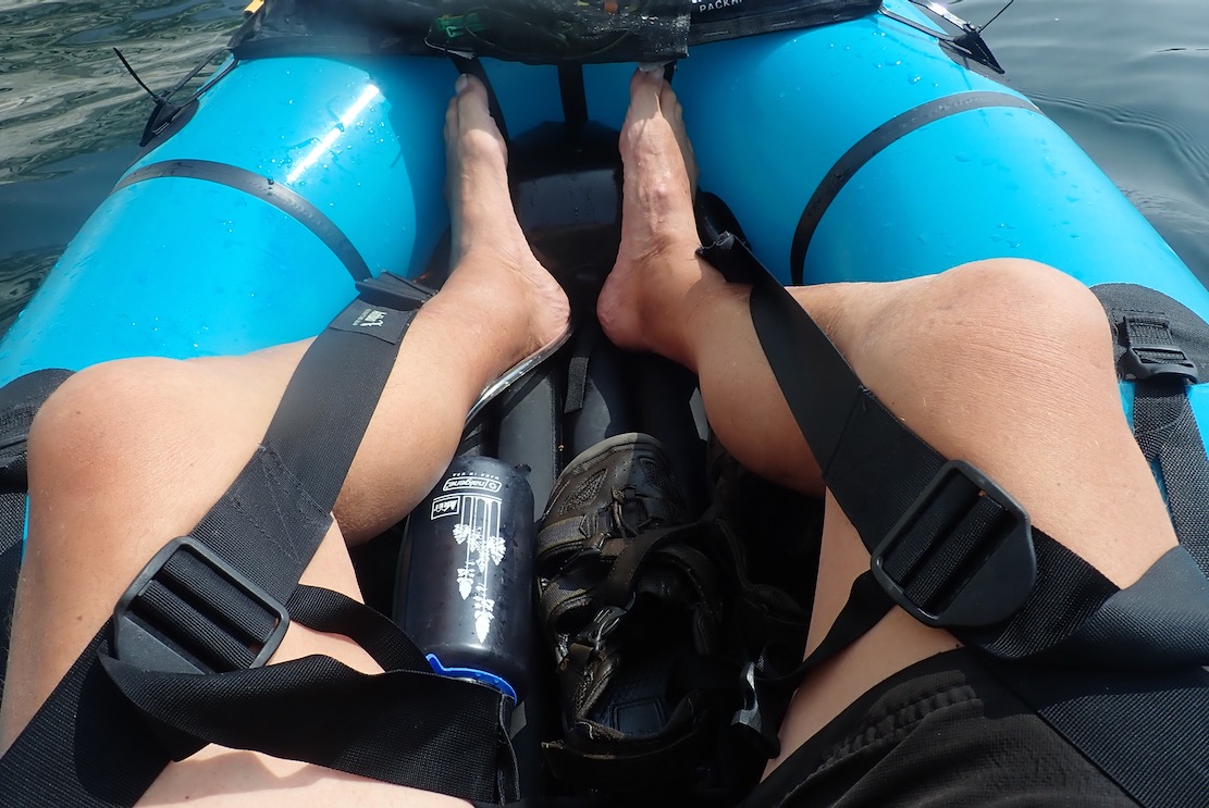
I hop out behind Bat Hole and top up the TXL. These big volume packrafts often need a second top up 10 minutes in (it can be done on the water). My bodged balloon pump finally breaks (the better 2-part Mk2 version waits at home). I also install the inflatable footrest like I should have before setting off, then go all out and deploy the thigh straps too. That done, I’m reminded how connected and comfortable you feel in the TXL with all these things in place. It’s like standing on a paddle board!
A light breeze is blowing through the arch from the west, the opposite of the forecast. Oh well, it’s light enough not to matter and will blow with the tide for the ride back. On the far side of the arch an unseen air pocket is huffing and puffing and snorting with the swell.
Careful to dodge swimmers and unseen tombstoners (gruesome vid), I pass through Durdle Door and again leave the throng for now. I used to love tombstoning; the thrill of jumping into thin air and landing harmlessly, feet pointed and nose pinched. But falling 200 feet from the top of the Door would be very painful. I continue through St Oswald’s Bay / Man o War and as predicted, around noon the wind pivots to onshore and ruffles the surface. I pass a bloke standing on his SUP with his Mrs laid out on her elbows between his feet, like a forward gunner. ‘That’s how to do it my man, with your reposing young lady providing added stability by virtue of a lowered centre of gravity!‘ I should have exclaimed.
I weave in and out of the rocky maze around Dungy Head, where it’s said late Neolithic farmers once span dried cowpats off the cliff as votive offerings. The practise survives today in Kentucky.
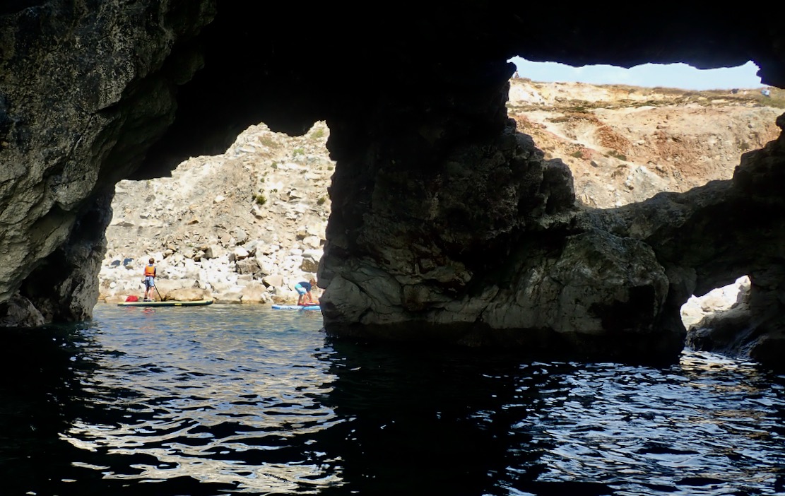
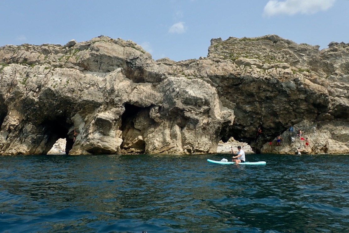
I reach Stair Hole, an intriguing network or arches and caves, packed with young revellers. You can enter a mini cove, but need to go out again then enter one arch to exit the other, again on the watch out for tombstoning lads and furtive snorkelfolk.
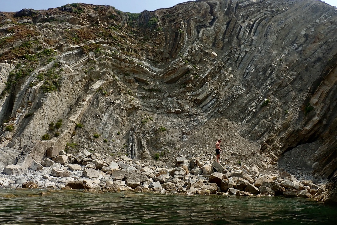
The Lulworth Crumple they call, this. Reminds me of Morocco’s Anti Atlas ranges where such formations are common.
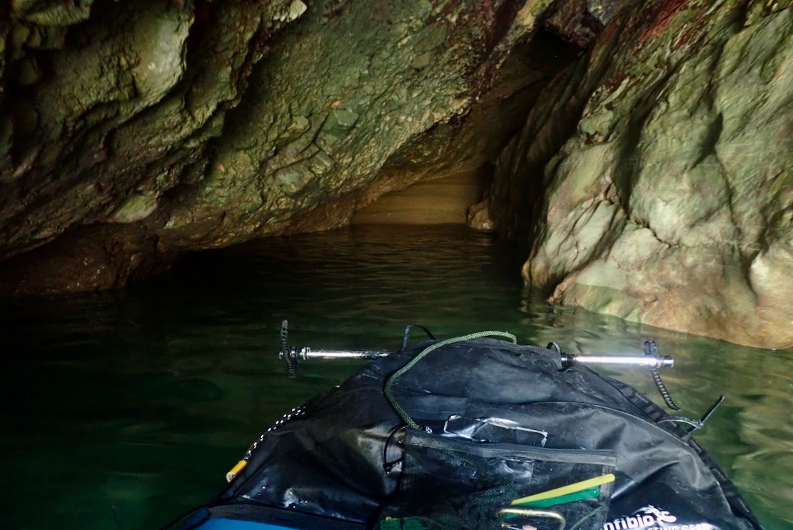
I probe a sea cave with a sandy beach at the end, and am reminded on Moonfleet, just a few miles away
The sea view of Stair Hole. Note the boarder paddling with dangling legs; good for the pecs and CoG, I suppose.
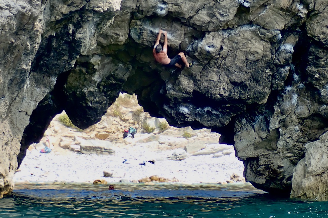
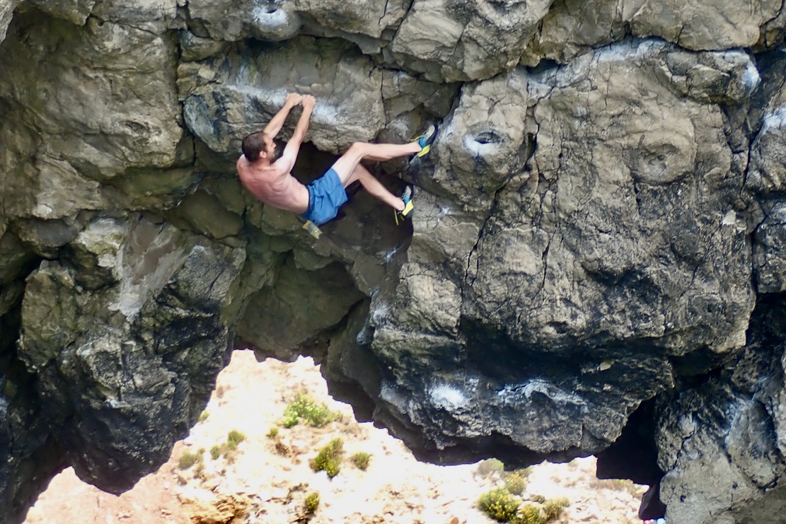
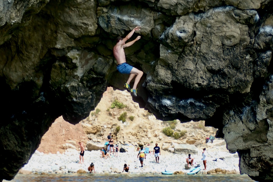
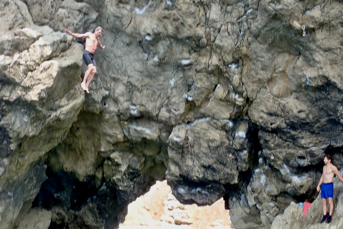
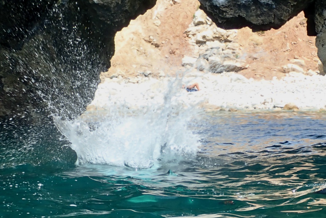
Talking of pecs, on the right (east) arch I realise it’s not just another bunch of young daredevils egging each other on, but proper climbers taking turns to traverse the arch’s overhanging span. I was never into the clobber of climbing. How great it must be to free climb with just shoes, shorts and chalk bag, knowing it’s a short, harmless fall into the water. The bloke in the black shorts made it across to a round of applause; blue shorts bailed.
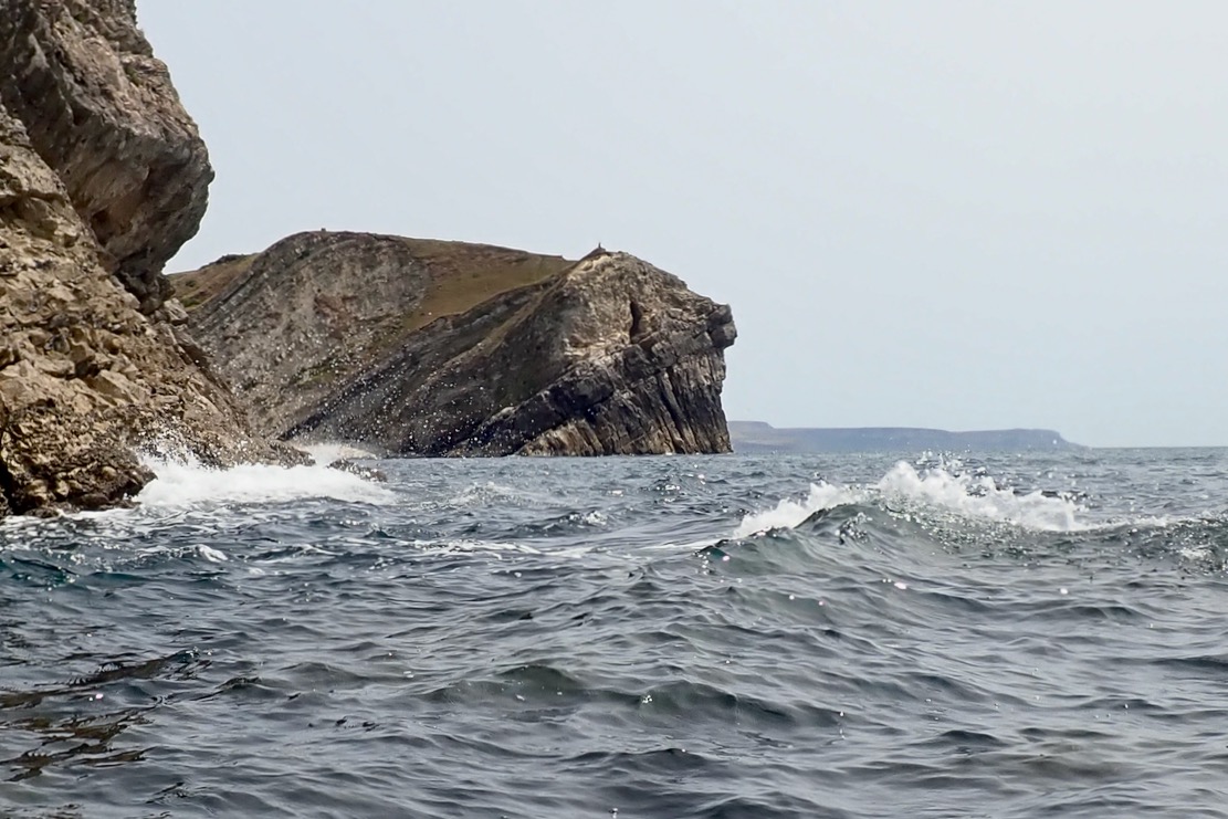
By now the sea has kicked up and is bouncing clapotis off the cliffs. But I feel stable and safe in the pitching TXL, partly because I know it’s not far to go.
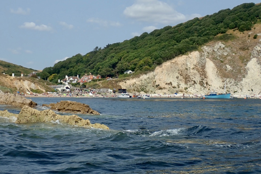
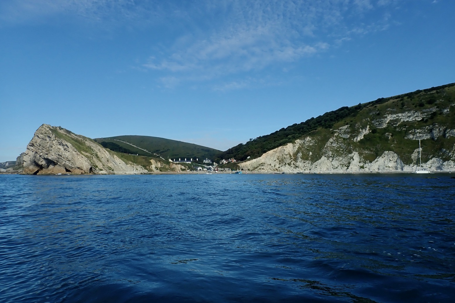
Entrance to the calm waters of Lulworth Cove. It’s a shame to end so soon.
Walking back to the bike, I’m struck by the steepness of the path up Hambury Tout. No wonder I was puffed out. Ready to go, my boat and gear in a bag weighs 8.6kg.
Riding home, some bridleways pass right along the edge of the Lulworth firing ranges and I hear the sound of heavy calibre machine gunfire. They were still at it at 10.30 that night.
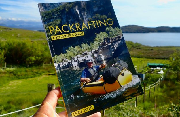
Did I tell you I wrote a packrafting guide book during Covid? I mention it as I happened to reread it the other day after having scanned something similar. ‘Information dense’ I’d call my style – they only gave me 48 big pages. I should have been nominated for an award from the ITF.
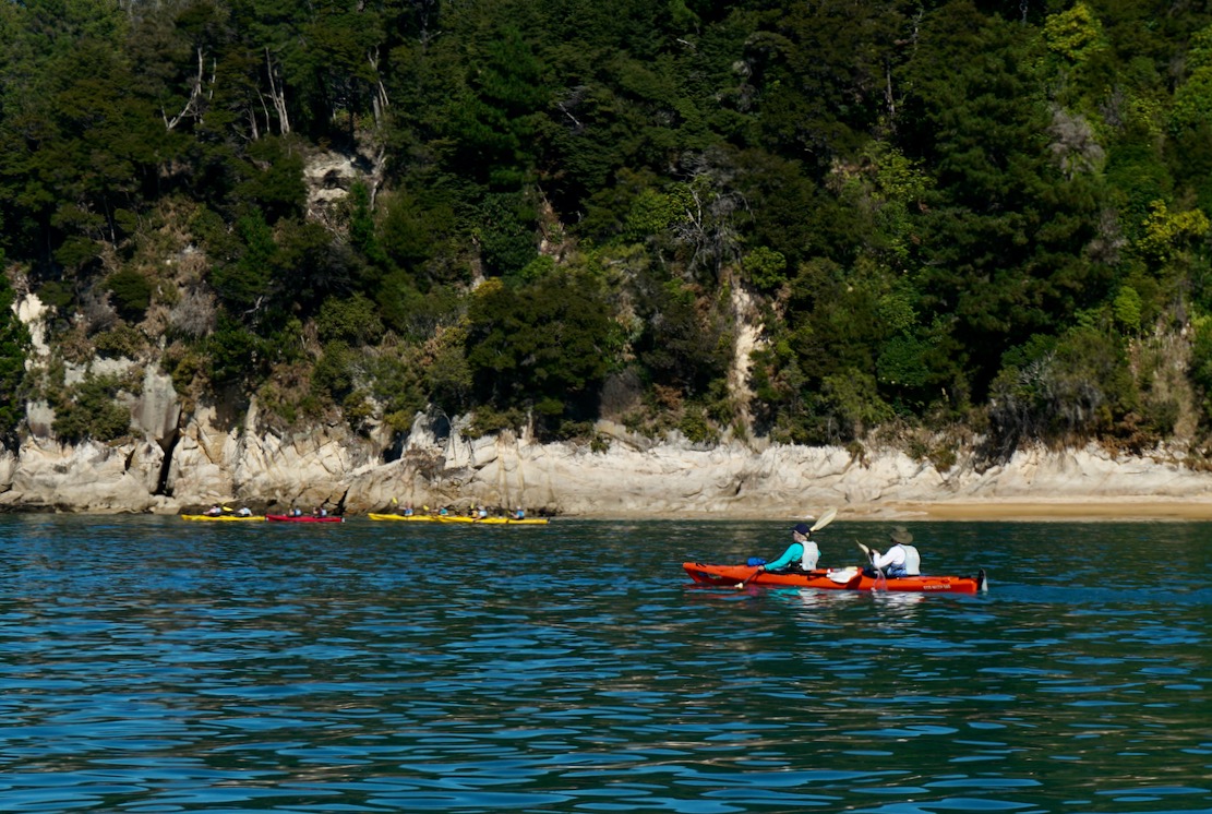
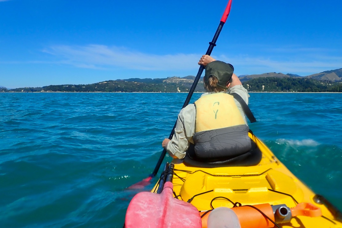
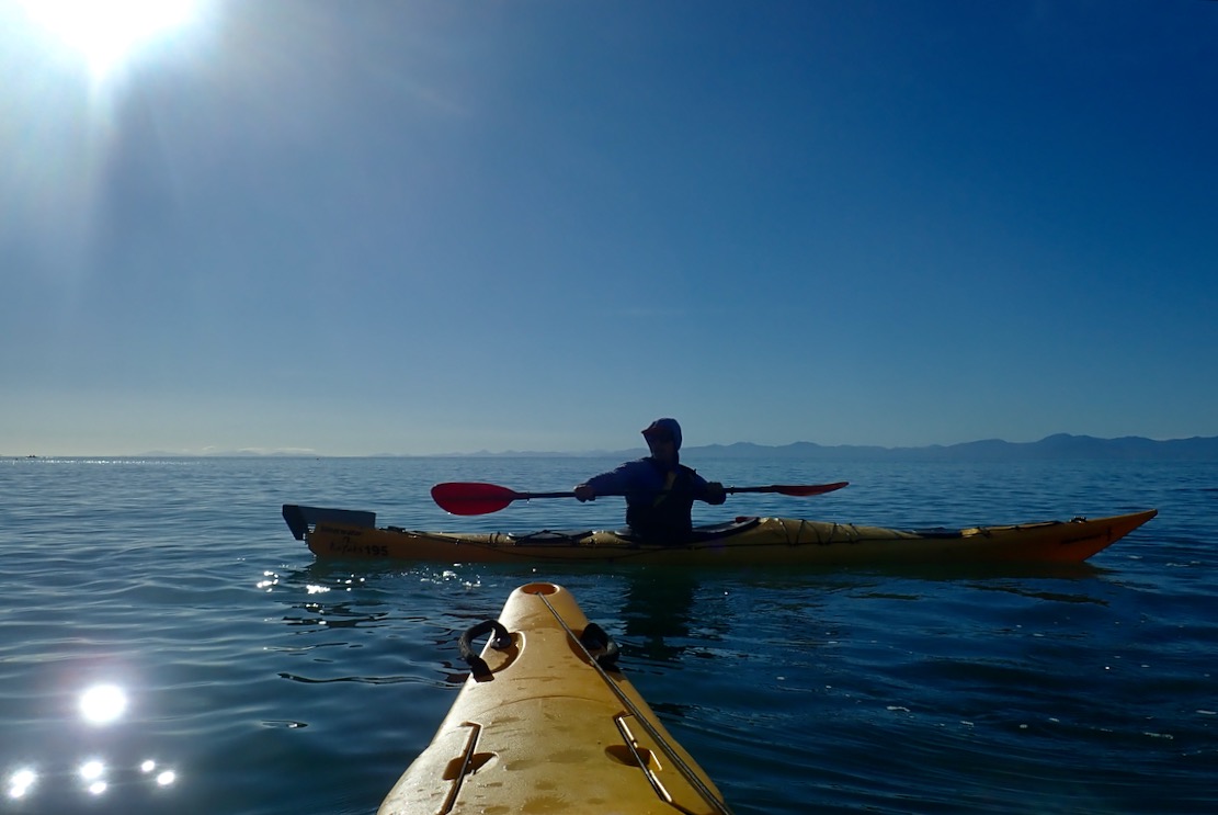
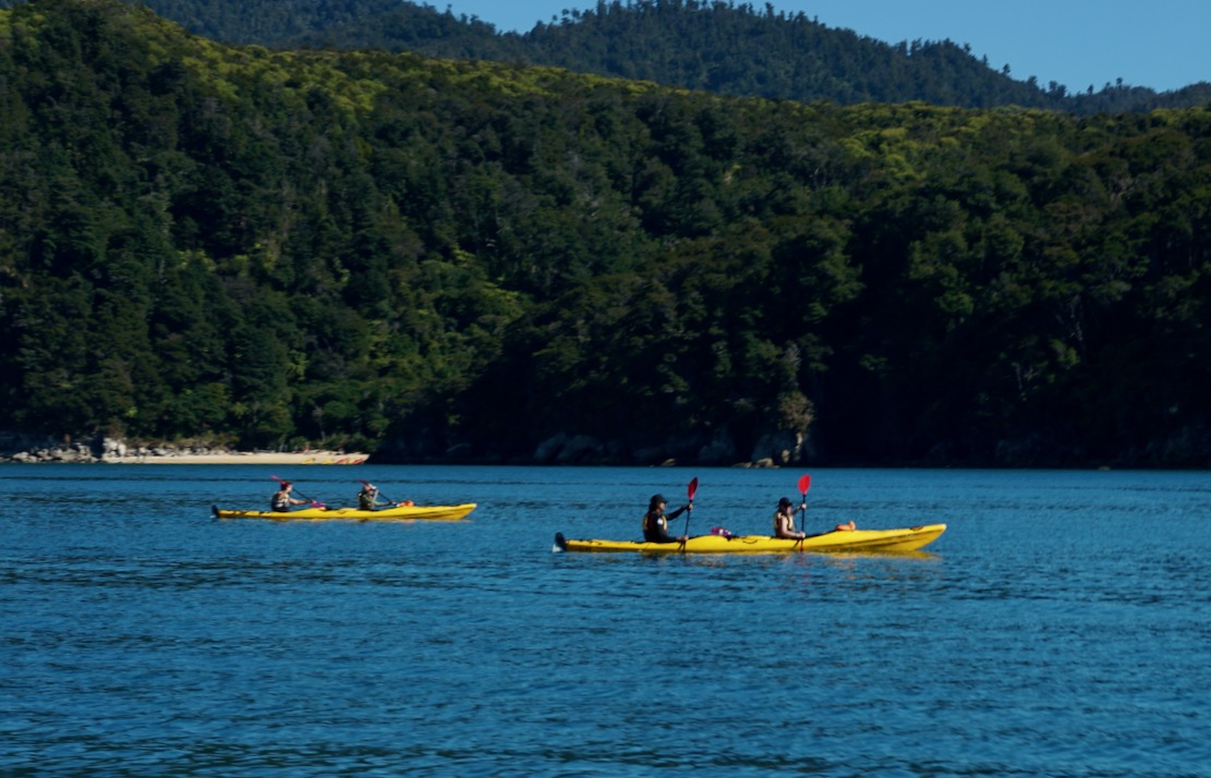
A few days after paddling Doubtful Sound we rented another hardshell double at Abel Tasman NP, at the top of the South Island. A much more popular kayaking location, a string of sandy, aquamarine bays and beaches punctuate wooded granite headlands dropping to the sea. Less rain-drenched than Fjordland, the vegetation here has a more Mediterranean appearance.
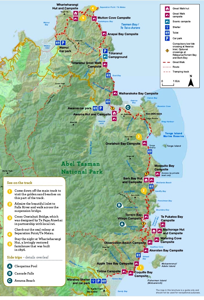
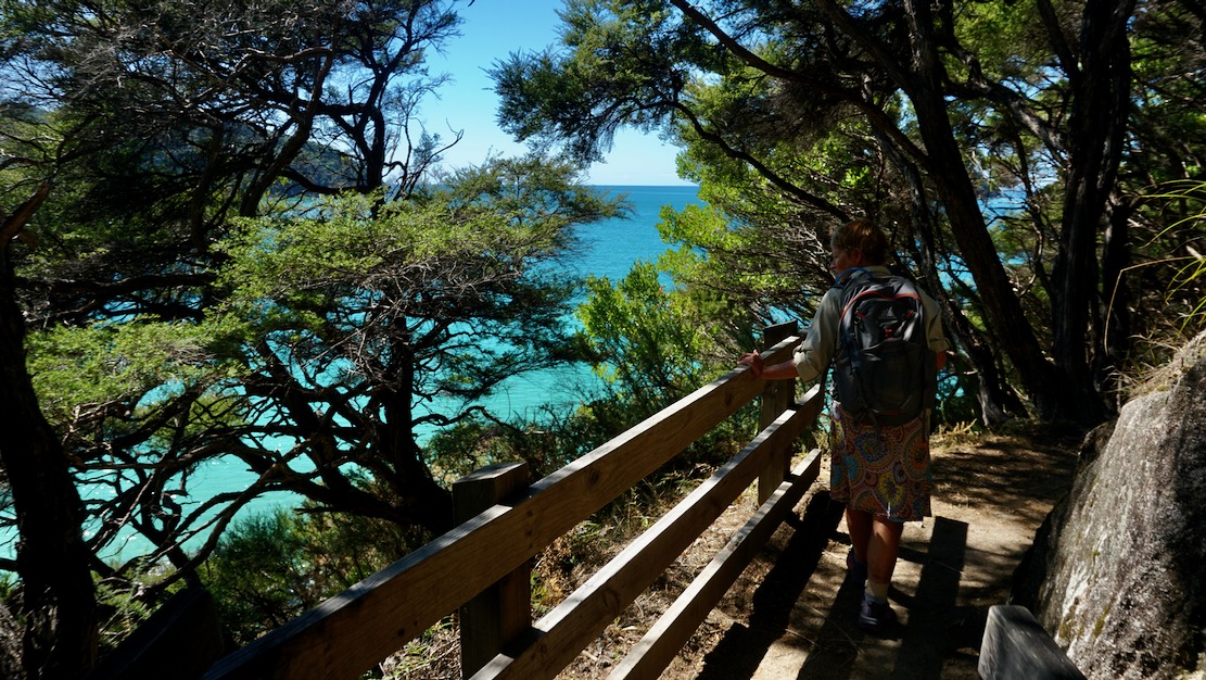
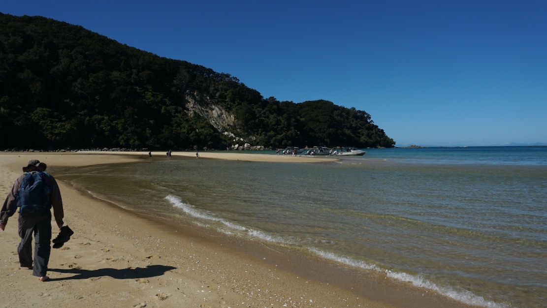
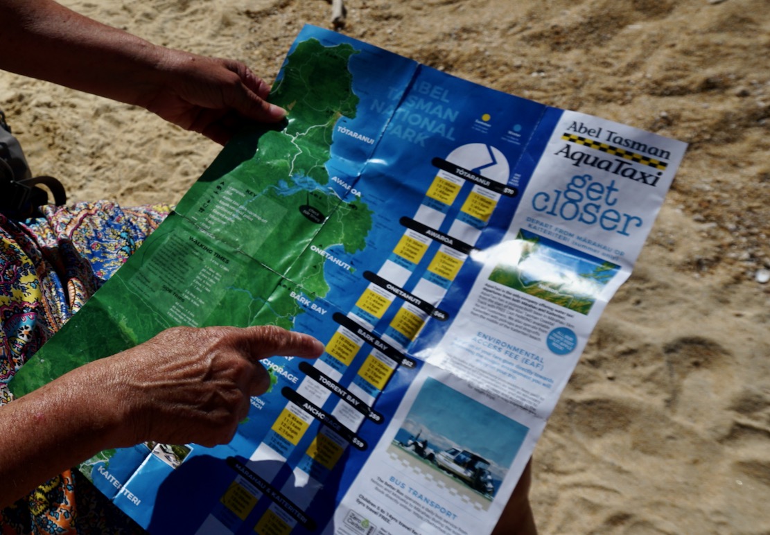
Blink and you’ll miss it Marahau is the main access point, serving visitors to the park. Here they have a really good system of water taxis which can drop or collect paddlers / walkers at any number of idyllic, granite-sand beaches along the NP’s sheltered east facing coastline. Most are walking all or parts of the 60-km Abel Tasman Track back to Marahau (as we did one day, below), staying at designated basic camp sites, if needed.
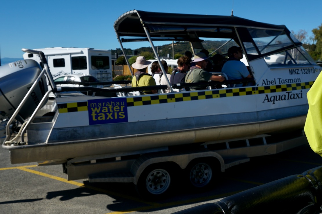
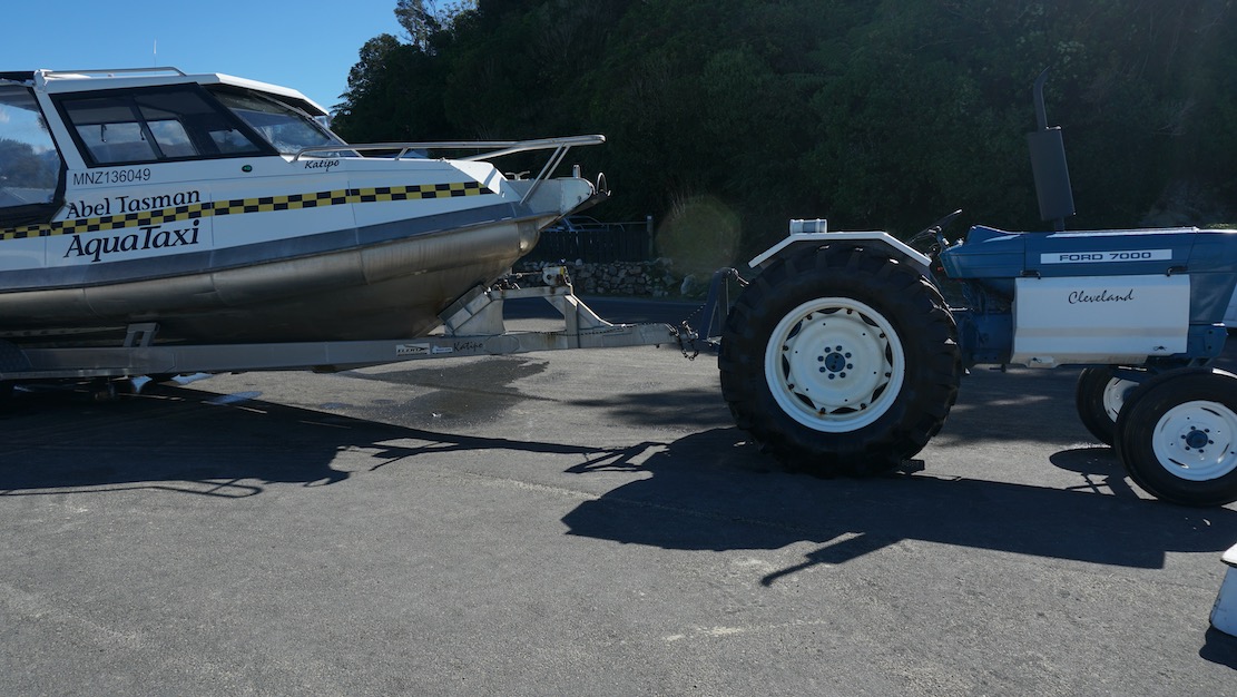
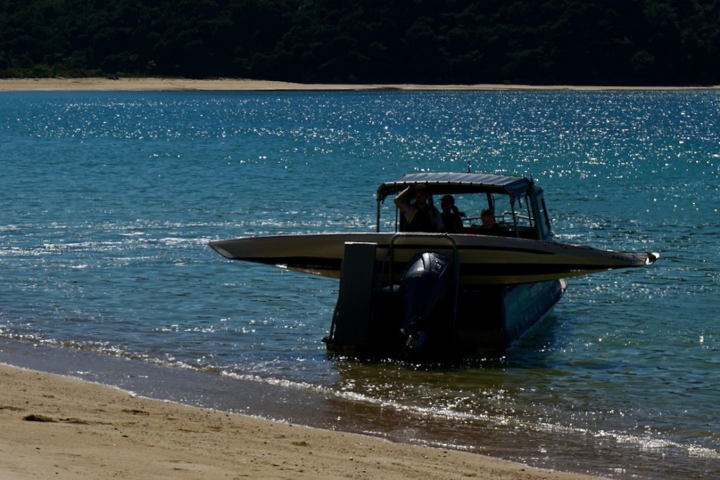
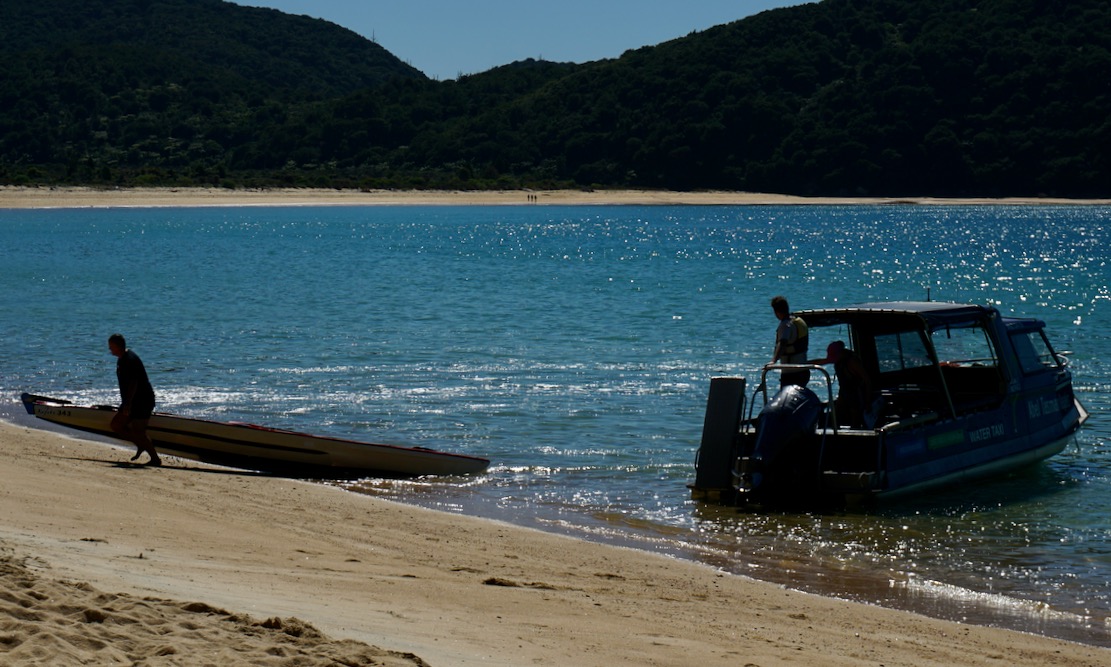
The Aquataxi operation is very slick: passengers board the motorboat on its trailer in the yard (below left), get tractored down the road to the beach and backed into the surf to head up the coast with various drops offs and collections, and of course a drole commentary. Returning to Marahau, a tractor waits axle deep in the surf, the boat takes aim and rides onto the submerged trailer, gets clamped down and we’re all driven back to the yard. It got me thinking something similar would work well along the Jurassic Coast and the Southwest Coast Path between Weymouth and Swanage in the UK to save circular walks. It’s true there’s a bus, but boating the coast would be loads more fun to or from a walk. I imagine rougher weather for nippy beach launches, plus a host of red tape kills this idea stone dead.
Hello? Is this legal?Deep water speed berthingTaxaaaaay!
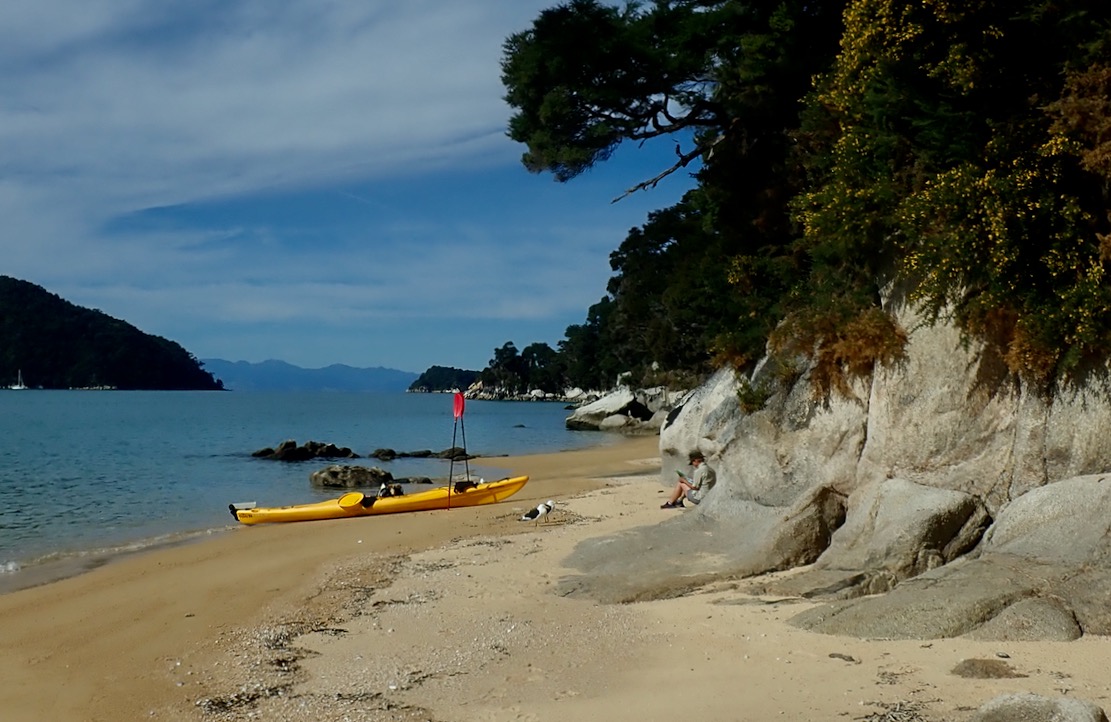
The rental agencies offer the same service with their kayaks, but on day-paddles get you to paddle out from Marahau before bringing you back, where getting dropped off first to paddle back would be more fun. But with your own paddle boat, a taxi can drop you at the top of the park (below) to make your own way to Marahau. We may have struck unusually good weather again, but as we saw it, this would easily be doable in a packraft. Each day a late morning northerly sea breeze wafts you back down to Marahau.
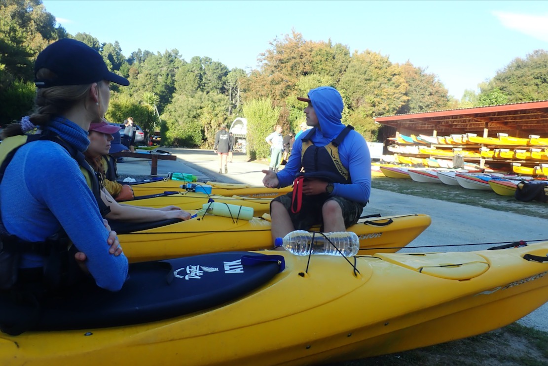
The reason the rental outfits require you to set off from Marahau is to give you a detailed safety briefing (left) before watching you set off in a plastic sea kayak. The boats were well equipped with a spare paddle, bilge pump and flare, but despite the demo of the technique, righting a 50-kilo double full of water, then getting back in and pumping out sounded quite daunting. On a day like today that was exceedingly unlikely unless you messed up a beach landing (or were in a tippier single; see below), but even then there are plenty of water taxis bombing around to help out if needed. I also spotted some double SoTs, much shorter and slower for sure, but which could be covered in a 5-second safety briefing: ‘Fallen out? Silly Billy! Clamber back aboard; paddle on ;-)’
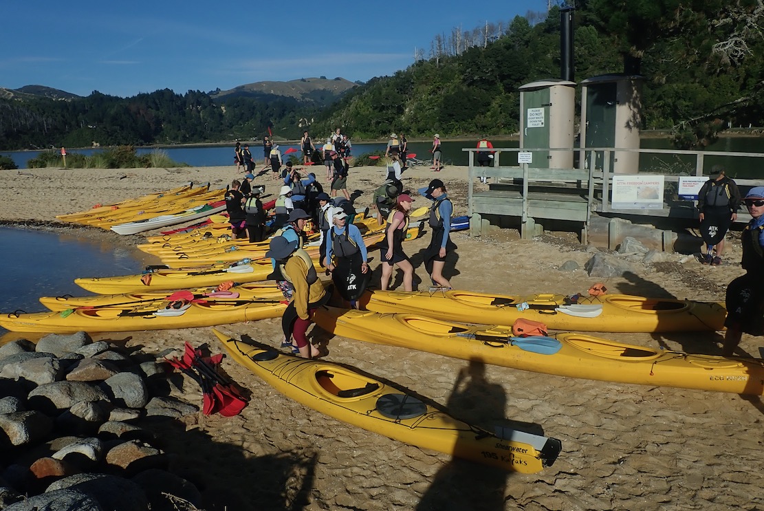
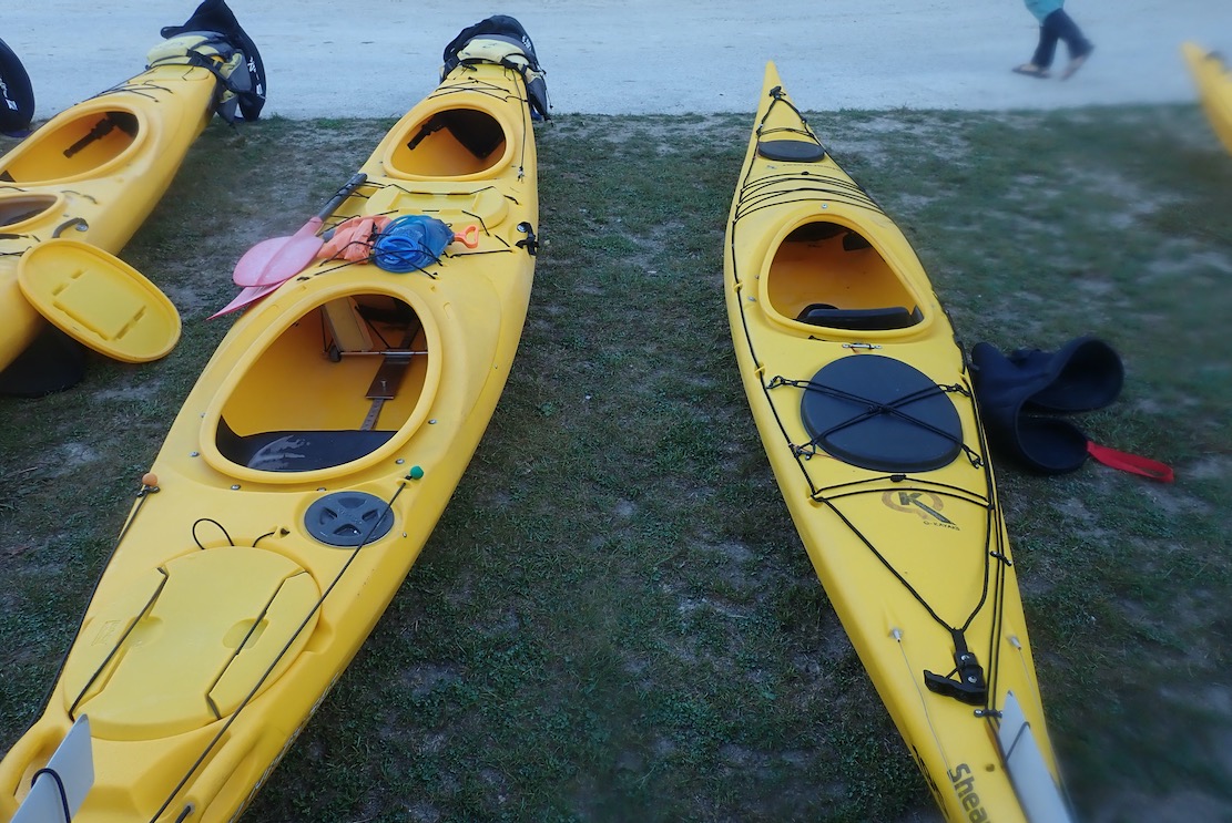
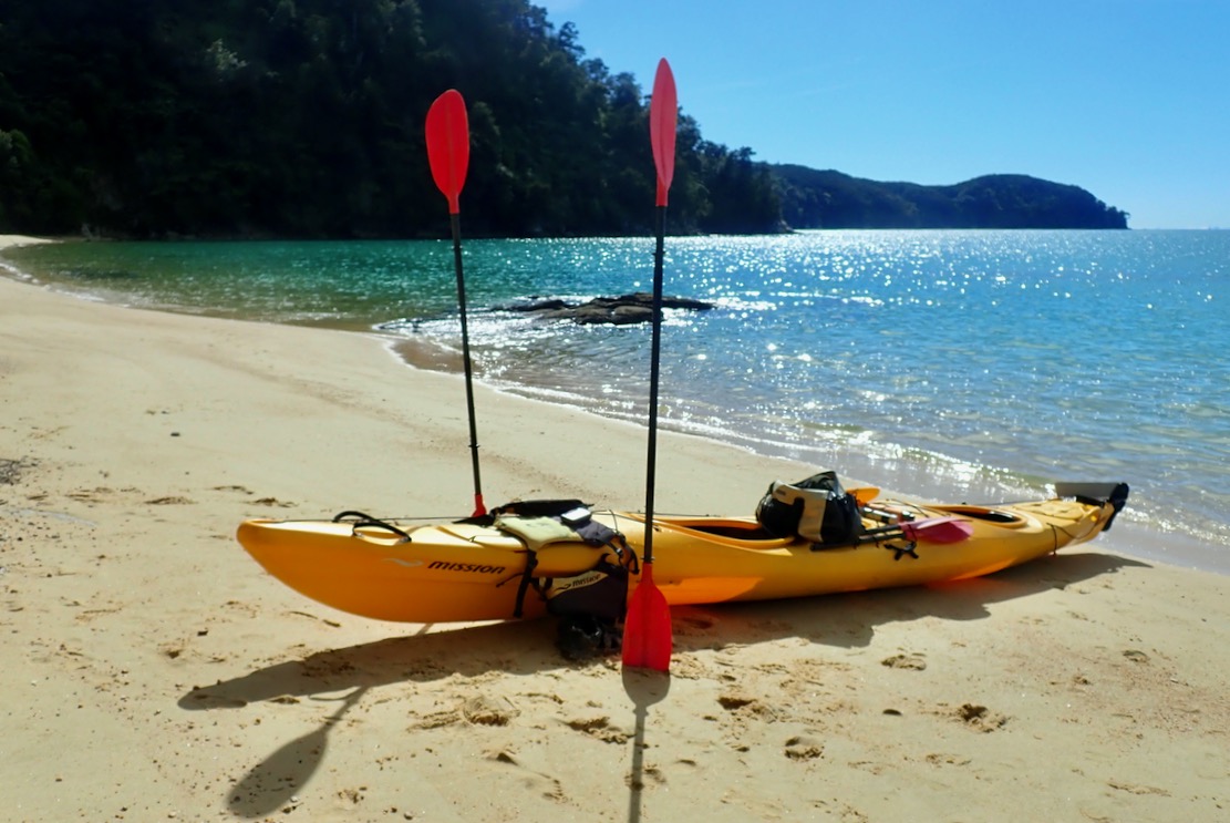
After the safety briefing, they took us to the beach and watched us get in and acclimatise to the Mission Eco Niizh 565s (18.5’). It was a similar classic to the Necky we used in Doubtful, except it was no less than 77cm wide and weighed a massive 55 kilos in the extra-rugged outfitters version designed to be knocked out for years by rental operators and their clients. But once on the water the Niizh had one big advantage over the Necky: a much better car-type pedal arrangement for the rudder, not the Necky’s awkwardly angled, self-folding side pegs. The action was much more taught and responsive too; we both found it much easier to track straight in the kayak without continuous micro-adjustments.
You can feel quite smug in your untippable, bath-wide, Eco Niizh double, but I don’t think I’d have been quite so sanguine once greased up and stuffed into a Shearwater single (above right) which, at 4.8m, is nearly as long, but 61cm wide and with a notably smaller hatch. They do look great though, like a proper sea kayak does.
I took the GPS this time but we only clocked 8kph flat out, though could easily sit on 6-7kph. I suppose that’s normal for a relatively wide and very heavy double where no amount of extra effort will overcome its shape and mass. As with IK doubles, two paddlers don’t add up to more power, just a potentially greater range. The Mission felt less uncomfortable too, but we only had a morning to spare here.
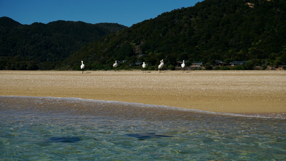
So now I can vouch that Abel Tasman would have been one spot where lugging my TXL packraft would have paid off. With loads of storage in the side tubes, relatively sheltered conditions, coastal path access and even water taxis to hail if it all gets too hard. A sail could even catch the afternoon sea breeze and on the way you might pass egrets and stingrays (left), except this in predator-free NZ, not Australia, so the stingrays don’t even sting.
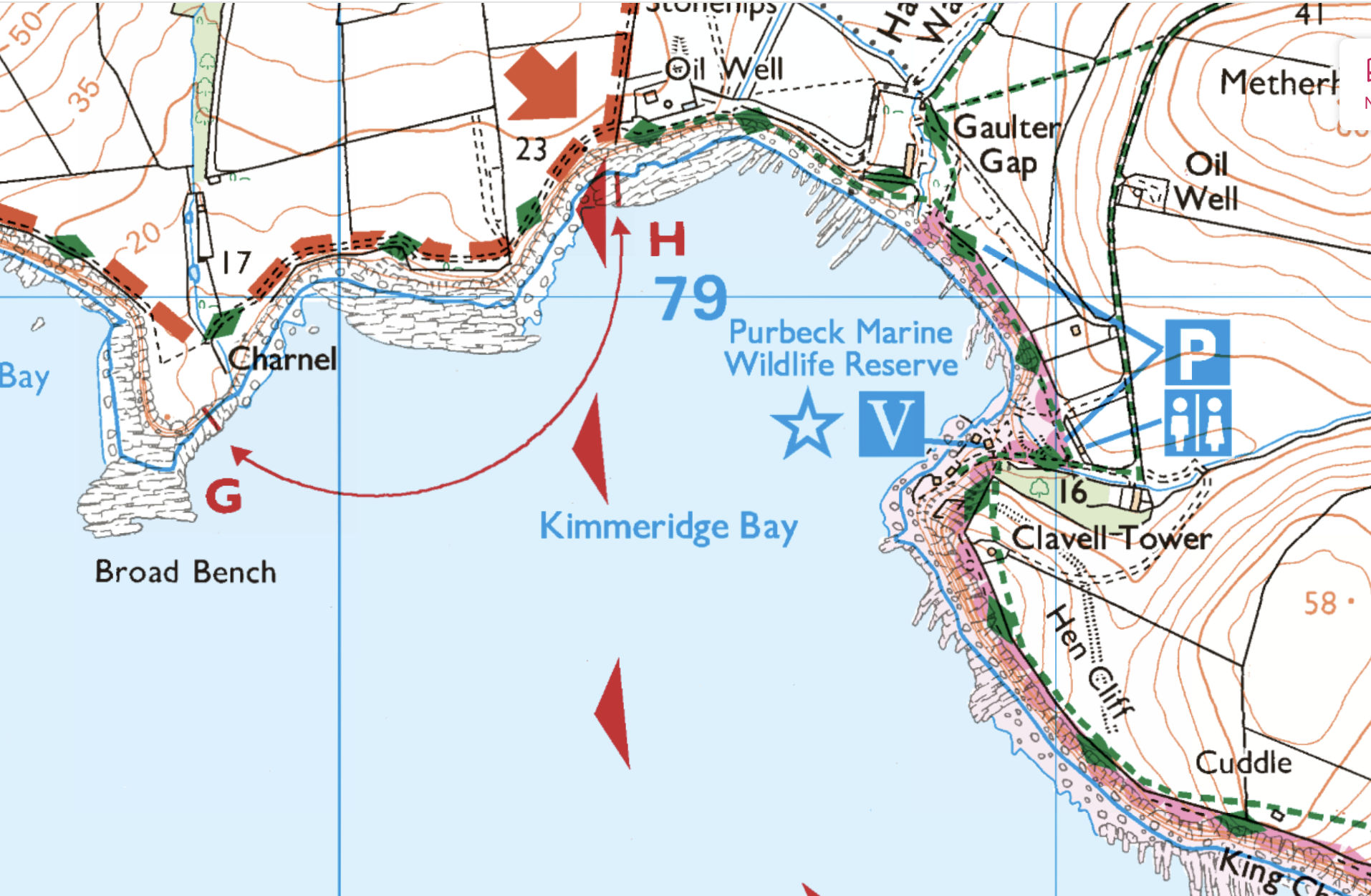
After Storm Chandra came the calm. Well, just a day of calm with a 5mph onshore breeze, sunny spells and single digit temps before seasonal deluges resumed. The artillery was pounding at Lulworth so the west side on Kimmeridge Bay within the MOD firing range was definitely off limits, but it might be nice to pootle along the base of the Kimmeridge Ledge cliffs and back. There could be a stormy after-swell, but small waterfalls may be be running too. I even thought it might be a day to sneak round St Alban’s Head from Chapman’s to Dancing Ledge…
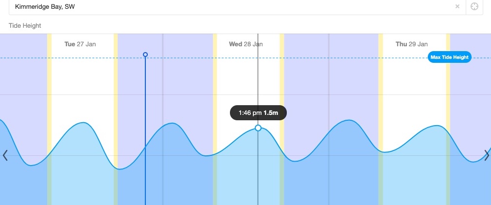
I’ve droned on about trying to pin down unlisted Kimmeridge tide times. The short answer, I’ve decided, is Willy Weather. Today a harmless neap tide was rising just half a metre in 8 hours to top out around 2pm. Interestingly, the High Water time moved by 20 minutes from the evening before, which suggests it’s not just some publish-and-forget-it table of predictions, but based on live inputs.
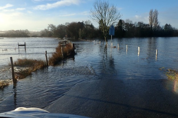
Hoping to take the scenic route, at Holme bridge the River Frome’s water meadows had spread into a vast lake, submerging the road, long before I even got close to the ford, which I read later was 5 feet deep. So after a couple of other attempts, I settled on the long way round over the flood-shedding Purbeck Hills to Kimmeridge Bay.
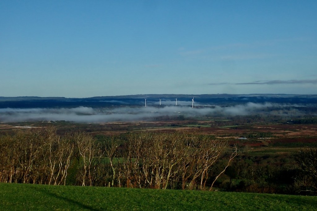
On Purbeck ridge the mist still clung to the flooded valley bottom.
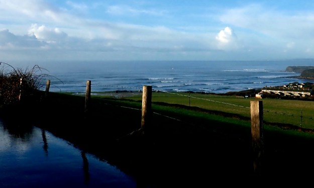
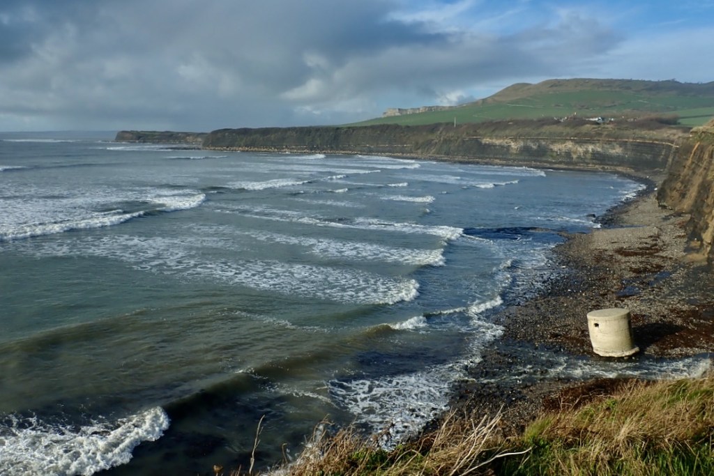
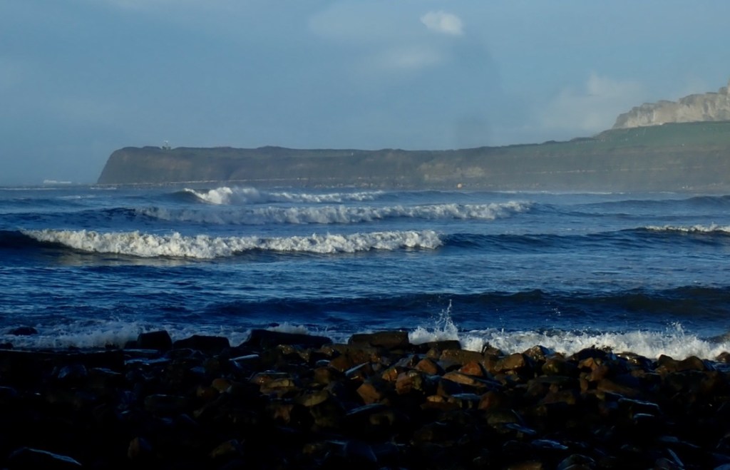
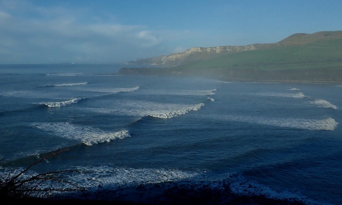
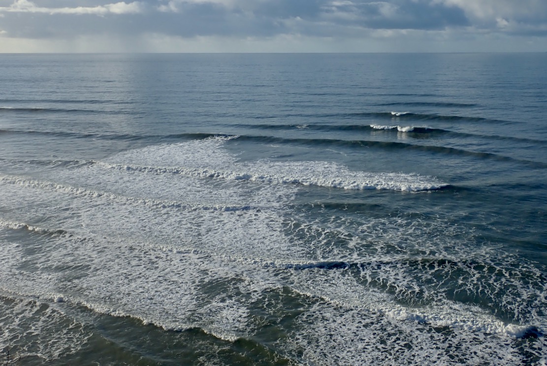
Coming over the last hill before Kimmeridge village, I realised I’d underestimated the after-swell; the stormy winds and rains may have passed but the seas were still animated.
Overlooking Kimmeridge Bay. Lively.
Down at sea level in a dumpy packraft it looked like it would be a struggle of good timing, desperate acceleration and luck to get out quick through this surf without getting swamped. I didn’t have my drysuit and as things looked, today was a day for a decked or bailing packraft. At times the surf seemed to flatten off and you could have scooted out on a paddle board. Then it all rolled back in, streaking the Bay with white foam.
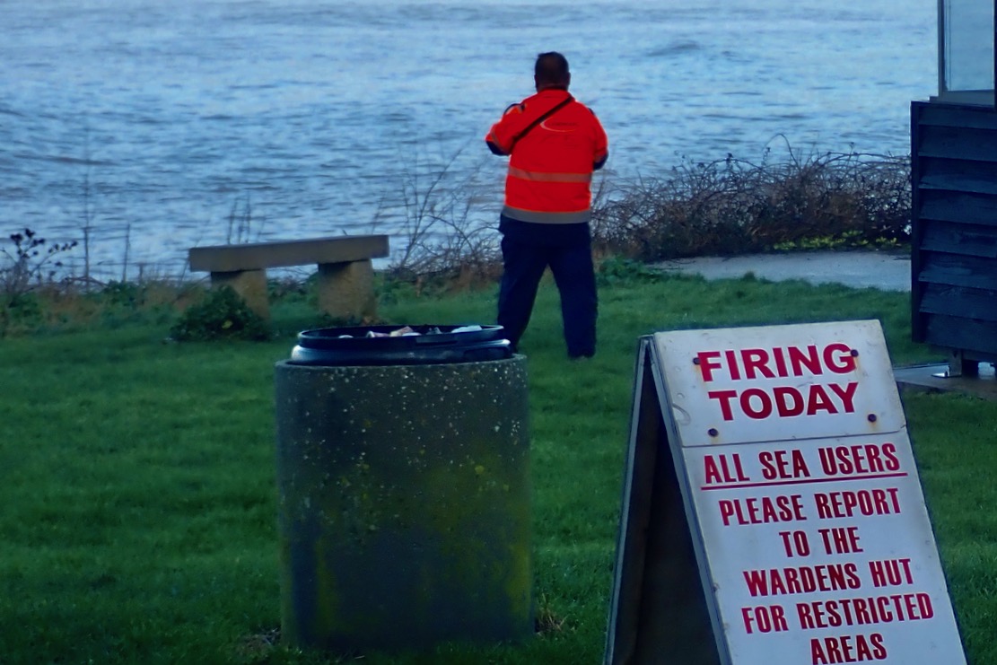
There were look-outs stationed round the bay. How thoughtful, I thought. Who lays that on then? Then I realised they were probably contracted by the MOD to make sure sea users kept away from the shells potentially raining down on the west side of the bay.
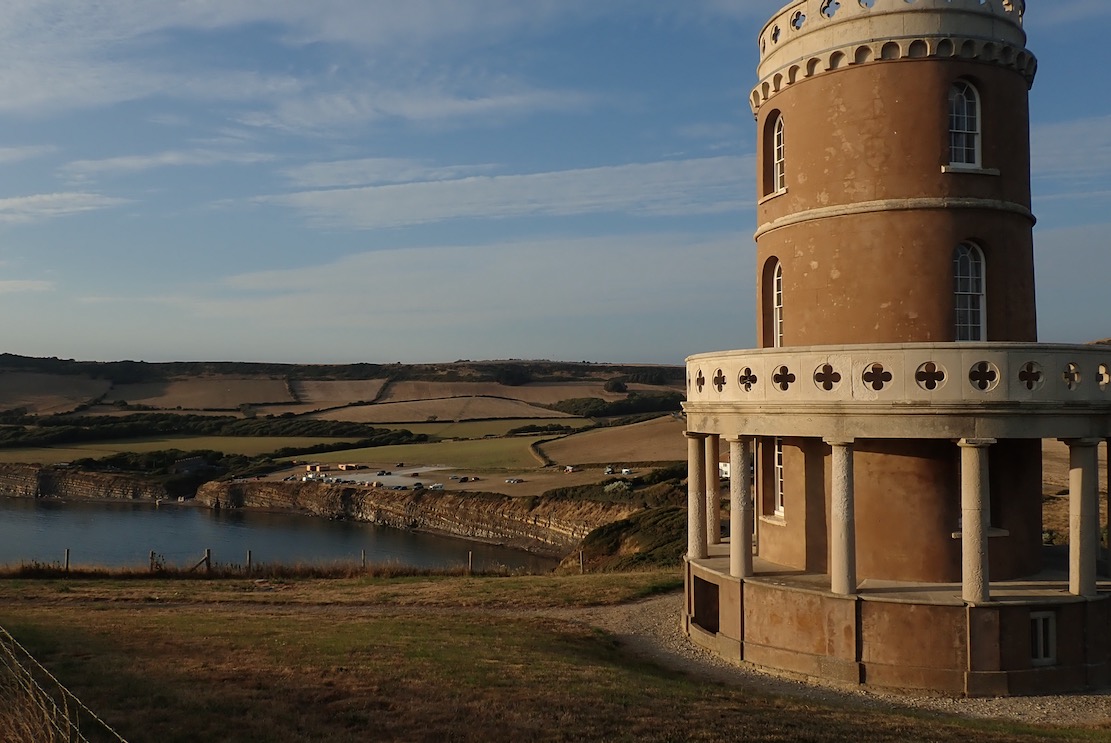
I thought if I could sneak through the east edge of the bay it would be OK round the corner, so I climbed up to Clavell Tower to have a look. Sea mist clung to the Bay.
If anything it was even more lively, with the Ledges kicking up the swell for hundreds of metres out. So much for a quiet cruise along the cliff base. Unless I went right out, I’d be forever glancing right to see what was incoming, and on the Ledges, waves can lift up out of the blue without warning.
We tried packraft surfing up at lovely Achnahaird one time, in far more benign conditions with waves barely at knee height. It was a laugh but packrafting today would take some commitment.
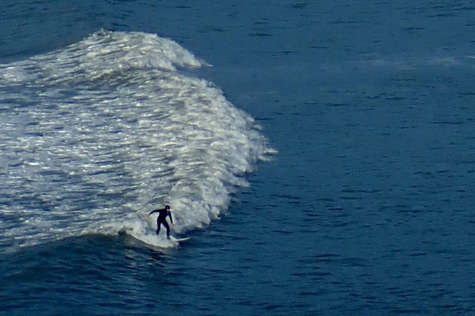
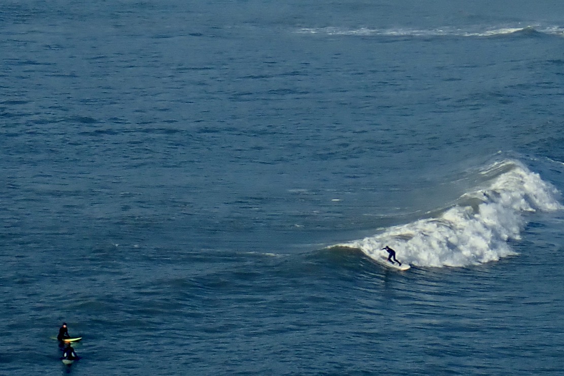
Today was a day for the surfers: get in the water and stay in it. Sadly, as I’ve noticed before, watching surfing live is not like a trailer for Big Wednesday. To paraphrase Gregory Peck: “They pay me for the waiting, the surfing I do for free“. It took me 15 minutes of watching four surfers bob around before I grabbed the shots here of a 15-second ride.
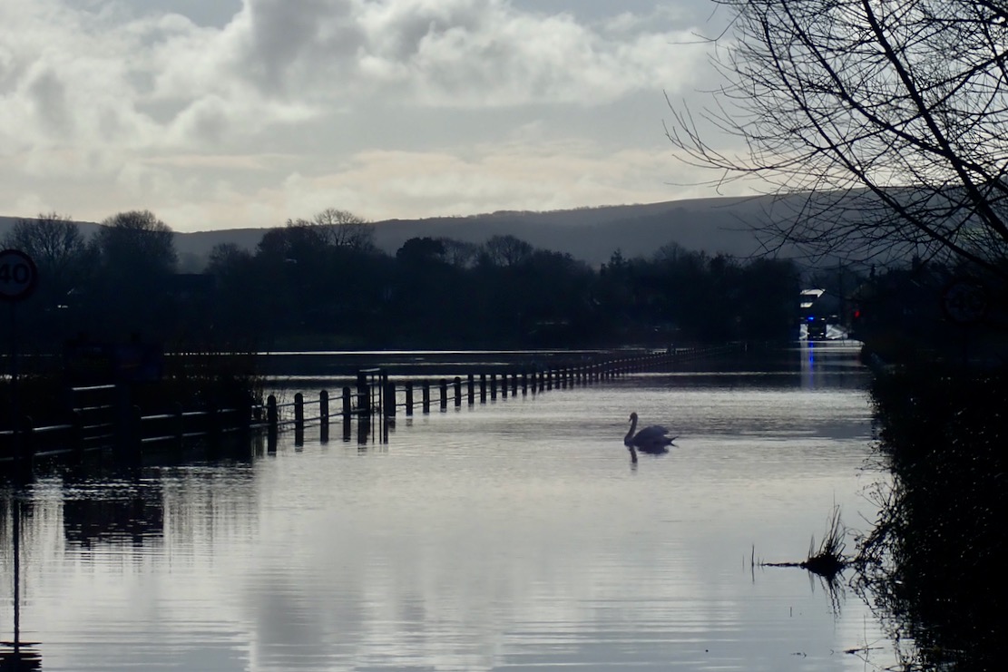
Back at Wareham, a swan was parked in the middle of the Causeway. You can see why they call it the Isle of Purbeck.
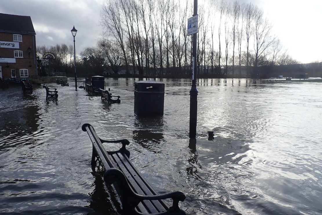
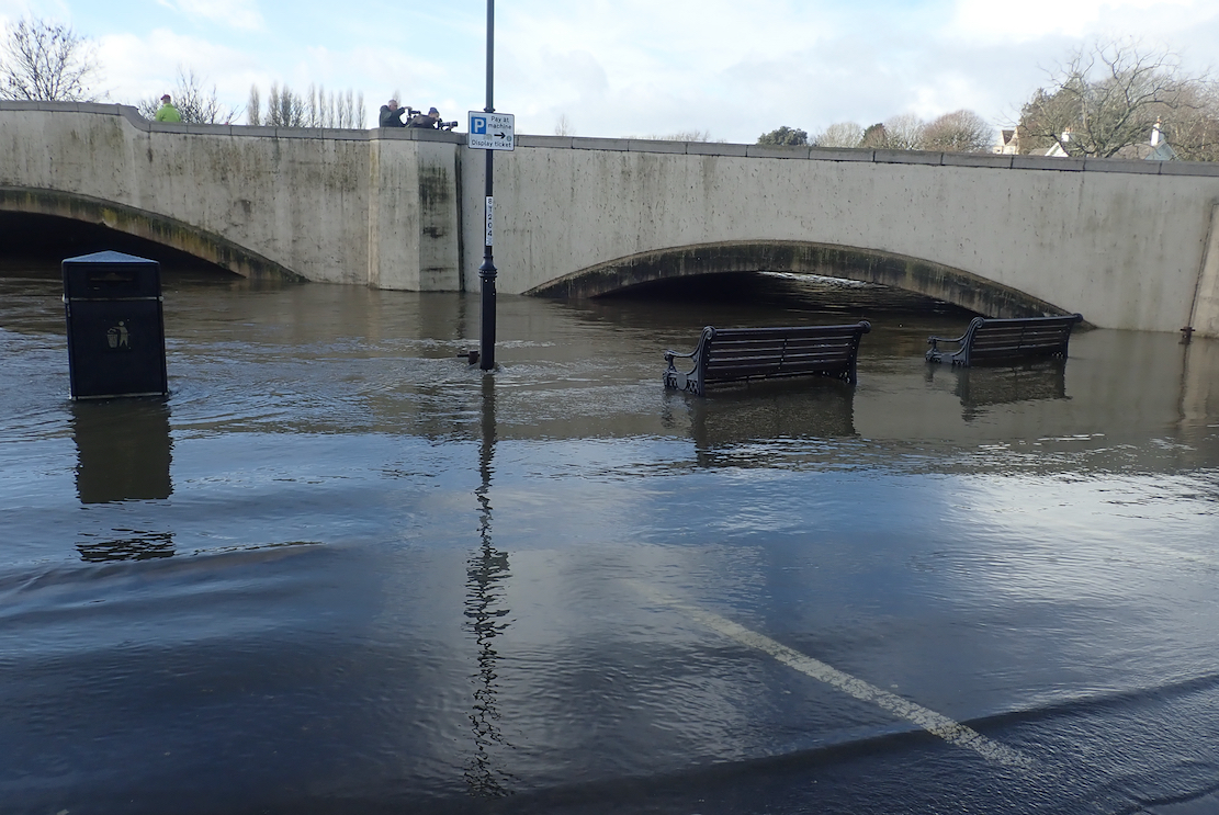
Wareham Quay was awash, with barely a foot under the road bridge to the Causeway which was why the river was backing up.
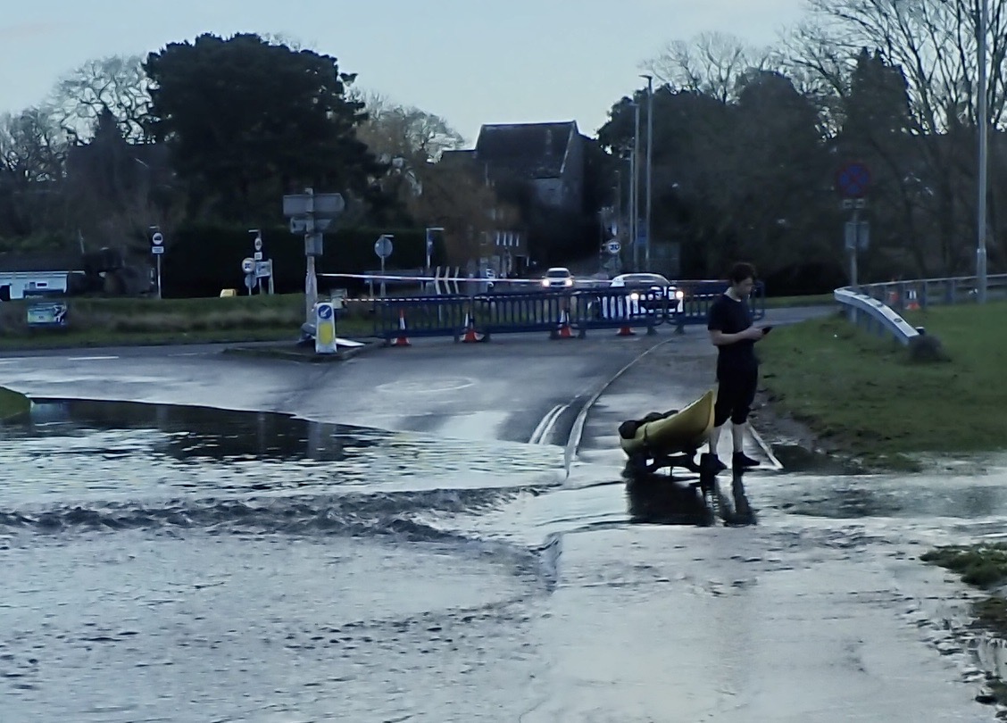
And it was only just possible to reach the station off the bypass where a bloke was putting in his sea kayak. At least someone got a paddle in today!
To all Mohunes Of Fleet and Moonfleet In agro Dorcestrensi Living or dead
Moonfleet, 1960s edition
Recognise that epigraph? If you do you probably read John Meade Falkner’s Moonfleet (1898) as a conker-swinging nipper. Described as a ‘thrilling story of revenge and betrayal, of loyalty and great sacrifice, but … above all … friendship‘, I recall it being more of a ripping yarn with smugglers and treasure, set in mid 17th-century Dorsetshire or Dorcestrensi.
Like Enid Blyton in Swanage a few decades later, Wiltshire-born Falkner spent much of his time in a caravan park on the Dorset coast, and Moonfleet went on to be adapted into films (not least by Fritz Lang) as well as a few TV series. But to an 11-year-old none are as good as the book.
Fast forward half a century, I realise the 13-km long lagoon behind the pebblesome anomaly of Chesil Beach is known as the Fleet, as is a village along its shore, west of Weymouth. The novel includes many landmarks all the way to Purbeck and the Isle of Wight. That’s all the reason I needed to crack out the packraft and railcard. But wait – are there restrictions?
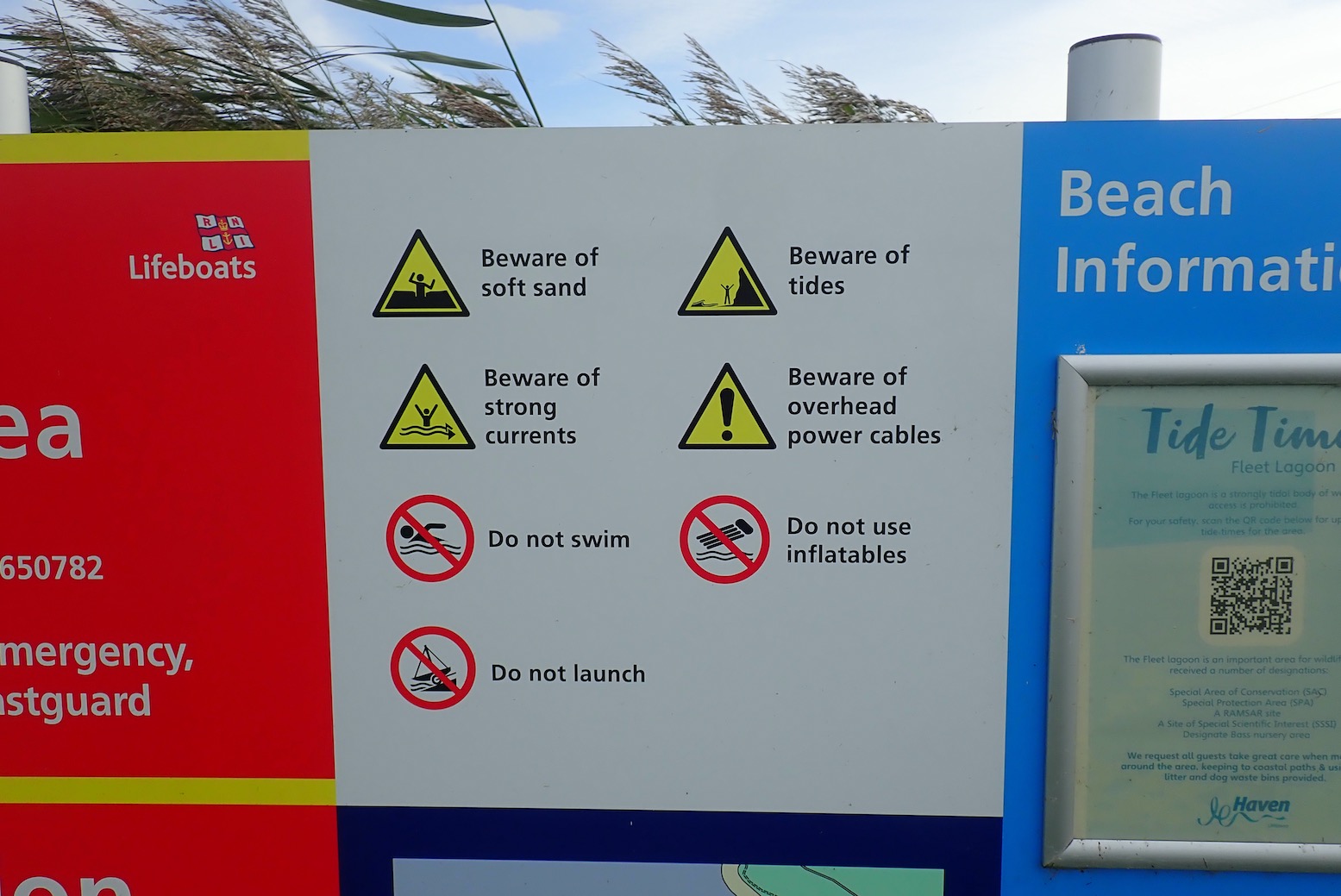
Small-scale use of canoes and kayaks for paddling to the mid Fleet for enjoyment and the experience … is discouraged… The Fleet seabed up to the mean high water mark is owned by the Ilchester Estates and part of the Reserve. The West Fleet is a closed, non-tidal area of water owned by the Estates and part of the Reserve. There are no boat slips bordering the Fleet that are open to the public.Boating in the mid Fleet is dissuaded as the water is shallow and the seabed comprises of soft, deep mud. There is also a tidal time lag … and strong winds … A military firing range is frequently in operation... It is hoped that the information below will reach potential boaters, … hopefully persuading them to reconsider their intentions.
‘Not swans again’
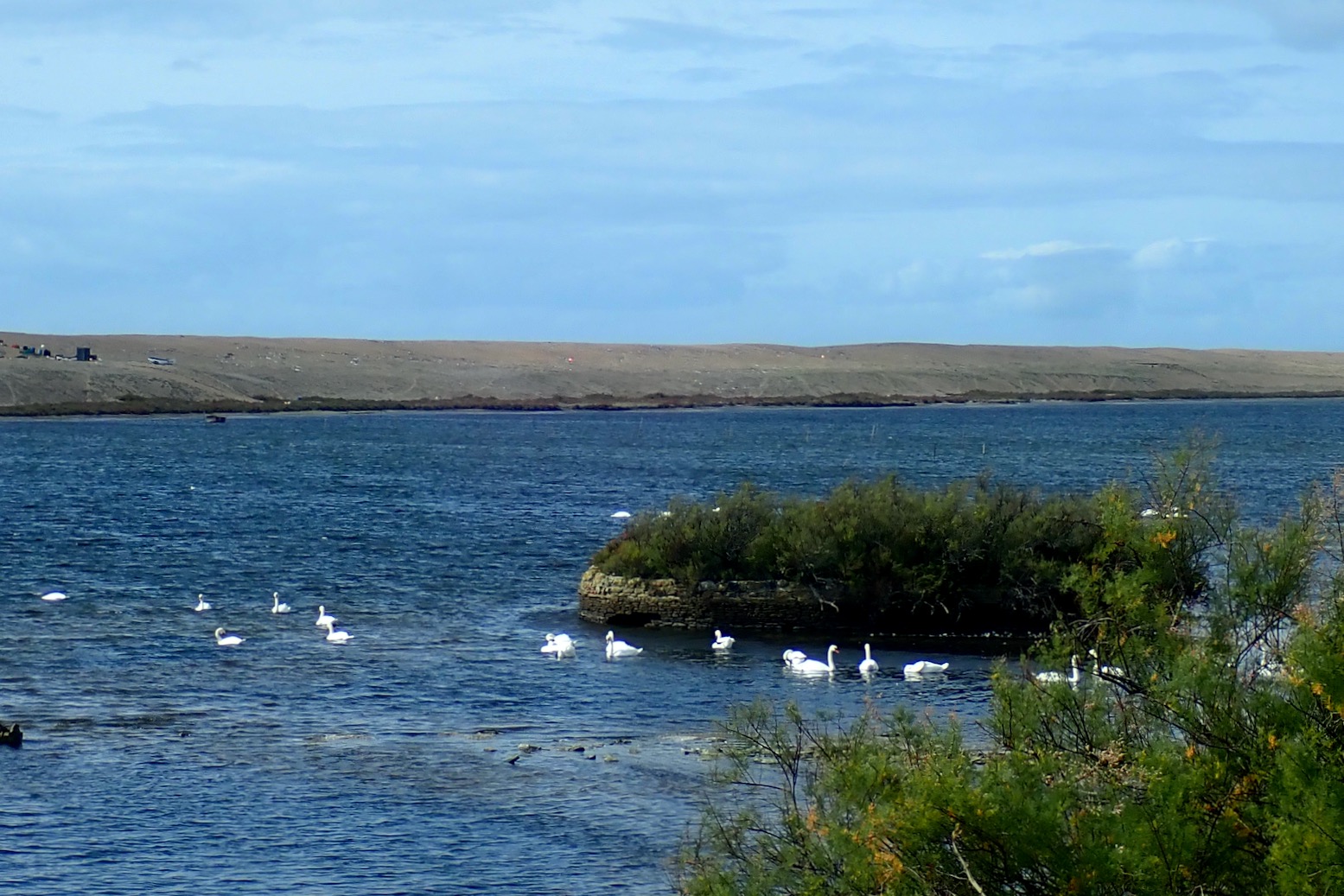
They missed out plague, pillaging pirates and pepper-spraying pangolins. Turns out the Fleet is a nature reserve. The top of the lagoon (West Fleet) has been a swannery since King Cnut of England, Norway and Denmark who actually died in Dorset. Harold (‘1066’) owned the manor of Fleet which was later listed in the first edition of the Domesday Book.
Kitchen Scene (1616) Adriaen van Nieulandt
At that time swans were a substantial food source, farmed at the newly founded Benedictine abbey in present-day Abbotsbury at the top of the lagoon. During the Dissolution the abbey was dismantled and rebuilt as the new owner’s mansion, as were many dwellings in Abbotsbury. By the mid-18th century, around the time of Moonfleet the new Earls of Ilchester established the Ilchester Estate which owns all you see here, including the Fleet seabed, not the Crown, as with most UK seashores.
Interestingly, the ancient Abbotsbury swannery is one of few where the Fowle Royale aren’t automatically owned by the monarch under Crown Prerogative, or Droit de Cygneur. Look at the West Fleet above and you’ll see the foreshore thick with the swan-necked fowl.
Given the questionable access for paddling, a foot recce was in order. We got off a bus at Chickerell and footpathed west towards Langton Herring, passing big, fat but not juicy sloe berries.
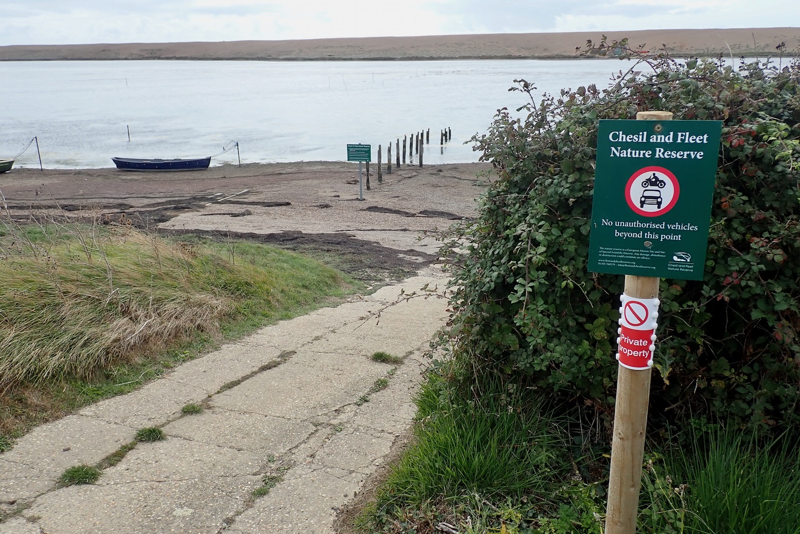
Langton Herring’s private slipway and the upper limit of ‘mid Fleet’. East of here prohibition becomes strong discouragement: … serious safety concerns [exist] even for the shallowest drafted craft in the mid Fleet: extensive intertidal mud-flats… some channels are a dead end … mud is too soft to walk on … impassable ‘flannel weed’. They really don’t want you to get to the water, do they. Along the shore regular green signs like above remind you there is no public access to the ‘hazardous foreshore‘. Additional signs warning of ‘quicksand’ on the shore. This was just like being on an English river!
The back side of Moonfleet Manor Hotel (formerly the Mohun’s Fleet House) would not win any awards.
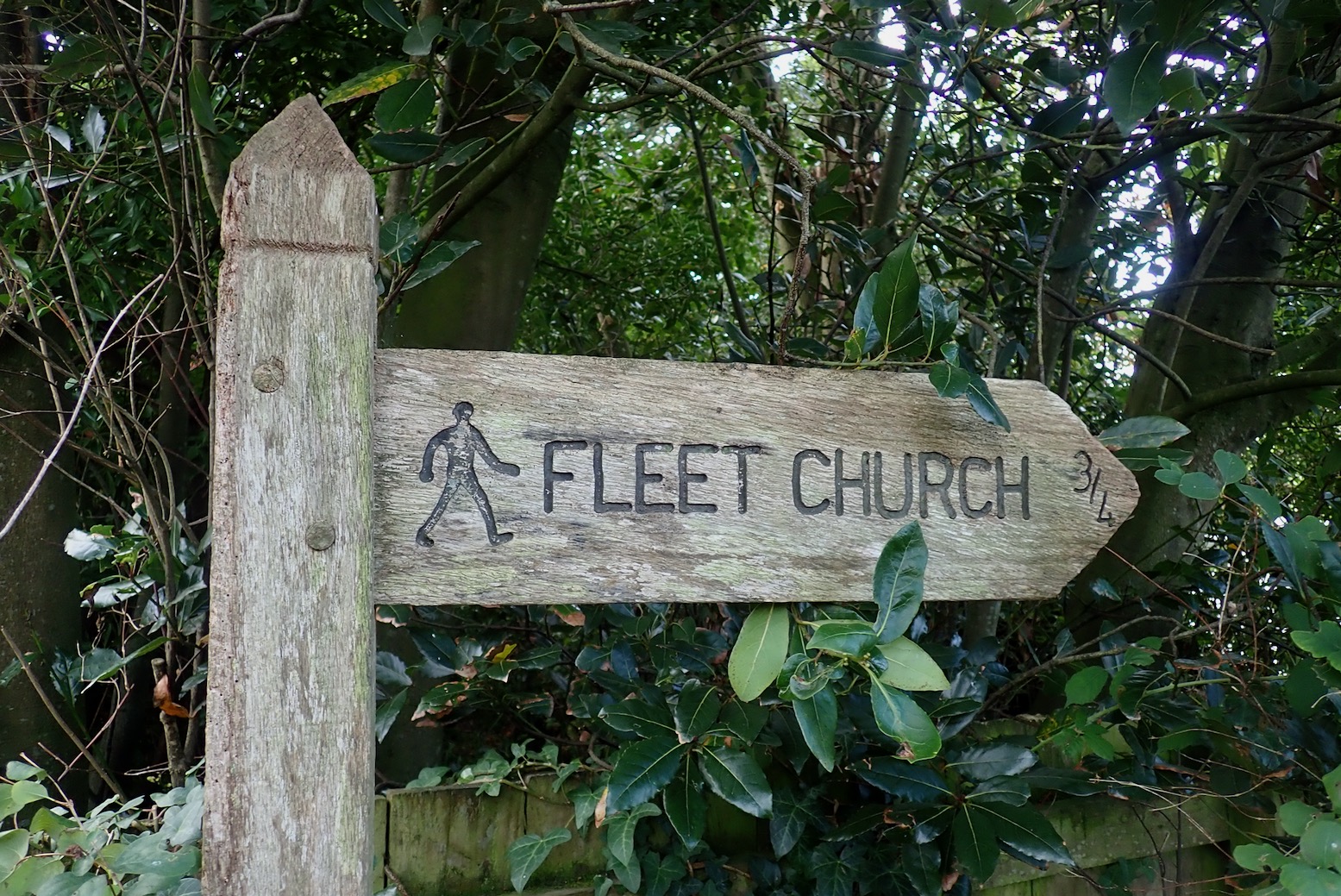
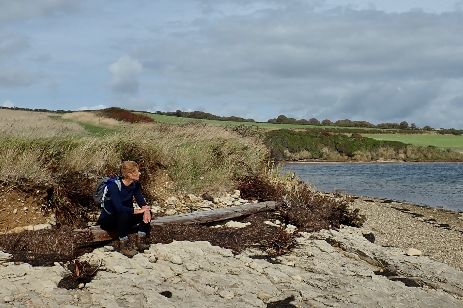
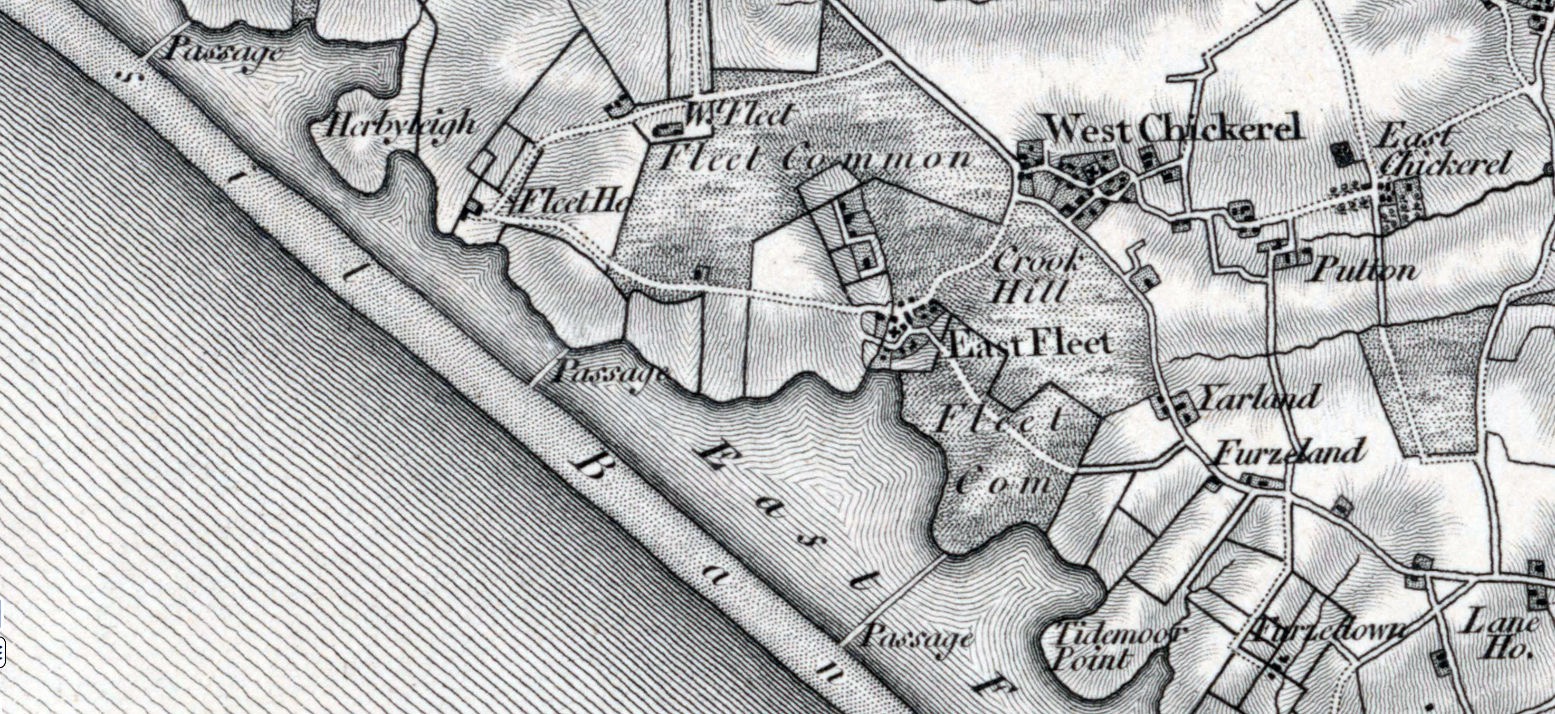
Sorry love, you can’t sit there.Green signs as thick as tangleweed – and an old jetty.In East Fleet we visit the original church, part rebuilt after the 1824 storm which breeched the Chesil and funnelled a wave up the Fleet creek to demolish half the church. It’s said the real-life Mohuns are buried in the vaults below. In the book their coffins clank about on the rising tide to warn off superstitious folk. In fact it was also a stash for barrels of finest French brandy, the ‘Milk of Ararat’!Old maps show causeways crossing the lagoon. Handy for bringing the tax-dodging plunder inland without getting wet.Fleet and Moonfleet.The Mrs and I debate vigorously about paddling the Fleet. ‘They clearly don’t want you on the water’ vs ‘They are not prohibiting it outright’. One trick the C&FNR miss is suggesting that the Fleet might be a bit boring to paddle, with the shingle bank obscuring sea views and general tidal sludge. Kayaker ahead (not pictured)! They hack out across Butterstreet Cove (above) into the strong SW wind, then turn back. They probably put in at East Fleet Farm campsite and interpreted the sign above as ‘paddlecraft not prohibited’. Interesting. Round about here the maps show a mile of tidal mudflats to the southeast, just before the Narrows lead on to Portland. But the maps also indicate a permanent channel right alongside the Chesil shore. Stay on the Chesil side if in doubt.More good news: it appears Chickerell Firing Range is ‘closed until further notice’, though with the way of the world right now, mobilisation might be round the corner so it would always pay to check.Later on, an explanation for the litany of dissuasion and prohibition becomes clearer. The popular SWCP follows the Fleet’s north shore and is frequently busy, not least because it is probably one of the easiest, flattest days on the whole 600-mile walk. Those merry hikers need to be protected from inadvertent trespassing!Littlesea Holiday Park’s list of Dangers & Prohibitions including ‘no inflatables’. Rats! Seems odd though, establishing a camp on the coast but with no access to the shore whatsoever and by whatever means. ‘Oh well, mustn’t grumble.’At ‘Martleaves Bay’ near Weymouth the SWCP takes to the beach. Traumatised by fears of sinkmud, we hack inland though thick reeds and brambles, as other have done.The Fleet Bridge linking Weymouth with Portland.
What about the matter of unravelling the tides so as not to get stranded on the cloying mudflats for 12.5 hours? The nearest datum is Portland Harbour into which the Fleet empties. I’d guess Portland + half an hour lag at Langton, but locals at the Ferry Bridge would known better.
Weymouth. Not walked 14 miles in many years.
Thinking it all over I realise I’ve fallen into the packrafters’ mentality of putting in to take out somewhere else, not the usual ‘there-and-back’ which heavy hardshells usually do. Asking online, access into the Fleet seems straightforward: put in at Ferry Bridge and paddle no further than Langton (8km) then paddle back without touching the sides. You’ve can’t say you’ve not been warned, so woe betide if you come a cropper in the mud flats, strangleweed, rip tides and all the rest. Riding the tides may work, but you’re going to catch the wind one way, or more likely an all-day southwesterly crosswind, like we had. So this is one scenario where a wind prone packraft would be a bit too slow for enjoyment, given the other opportunities in the area.
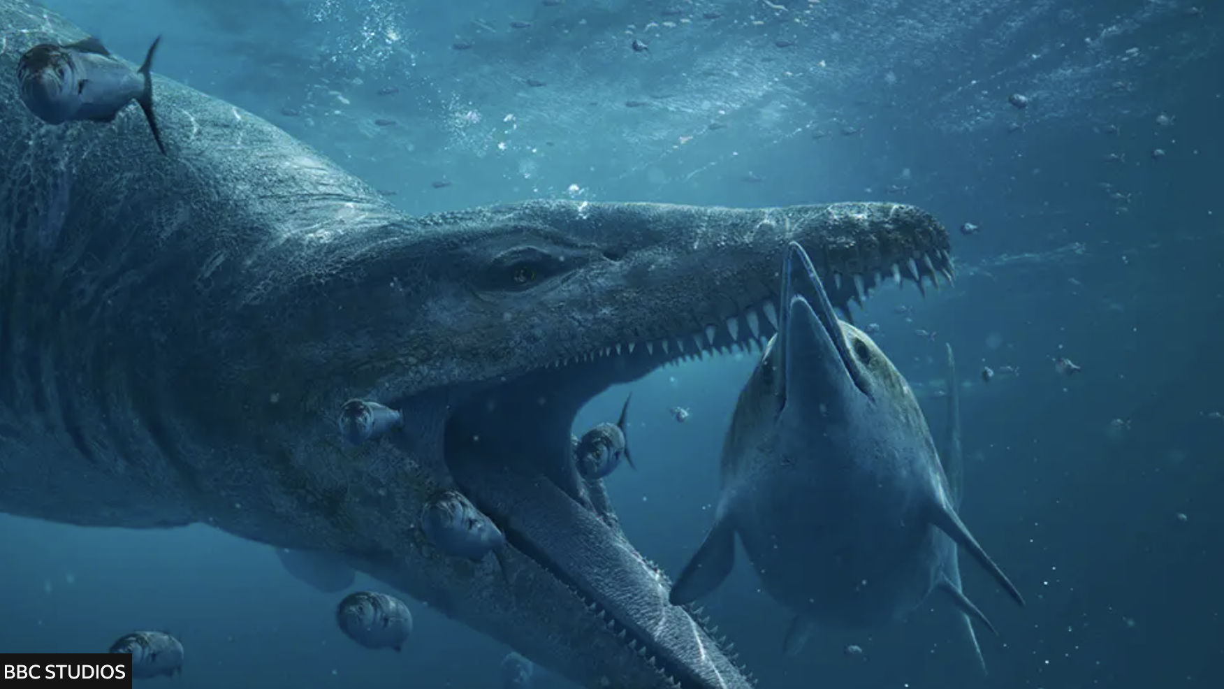
They say everyone remembers where they were when the BBC aired ‘Attenborough and the Giant Sea Monster‘ on New Year’s Day, 2024. ICYMI, it’s still on iPlayer and having watched it, you’ll realise the profile of the famously fossil-rich Kimmeridge cliffs along Dorset’s Jurassic Coast has been raised further. Come high summer it’s impossible to find a park at the local Sainsbury’s.
Attenborough and the Giant Sea Monster – on BBC iPlayer last time I looked
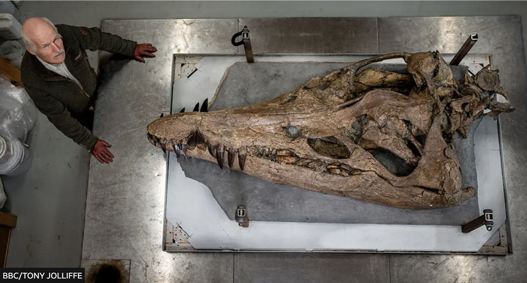
The story goes that in 2022, fossil enthusiast Phil Jacobs was fossicking along a difficult-to-access beach at low tide when he discovered a huge, crocodile-like snout in the shingle (left). He contacted Steve Etches (below) at the nearby Etches Collection fossil museum in Kimmeridge and, long story short, a two-metre pliosaurskull was laboriously excavated from the friable cliff-face from which the snout had dropped. The BBC and Attenborough recorded it all as over months, the skull was painstaking restored and primed to go on display at the Collection the day after the documentary aired. Good article.
Steve Etches dwarfed by the massive pliosaur skull
I’d visited the usually deserted museum over Christmas a week earlier, finding another similarly huge pliosaur jaw and many other amazing marine fossils on display. Returning on a stormy January 2nd after the broadcast, the place was packed with curious visitors blithely ignoring the ‘No Photos’ edicts right under Steve Etches’ nose. Since then the Pliosaur has been rebranded as the ‘Sea Rex‘.
Smedmore Estate signs at Kimmeridge Bay (left) warn against doing many things, including fossil hunting, and yet the museum has a video on how to do this safely. So I wondered how permission worked in the technically ‘neutral’ or Crown-owned intertidal zone (ITZ) where the fossil-rich Kimmeridge Ledges lie, and further east where the snout was found. A member of staff explained that protected SSSI status (see map or below) extended into the ITZ (as it might do for coral reefs) and Etches, a local man with decades of fossil collecting behind him, is the only person with permission from the Smedmore Estate (who help fund his museum) to excavate fossils, presumably in the cliffs fringing their land above the ITZ.
Kimmeridge SSSI includes ITZ
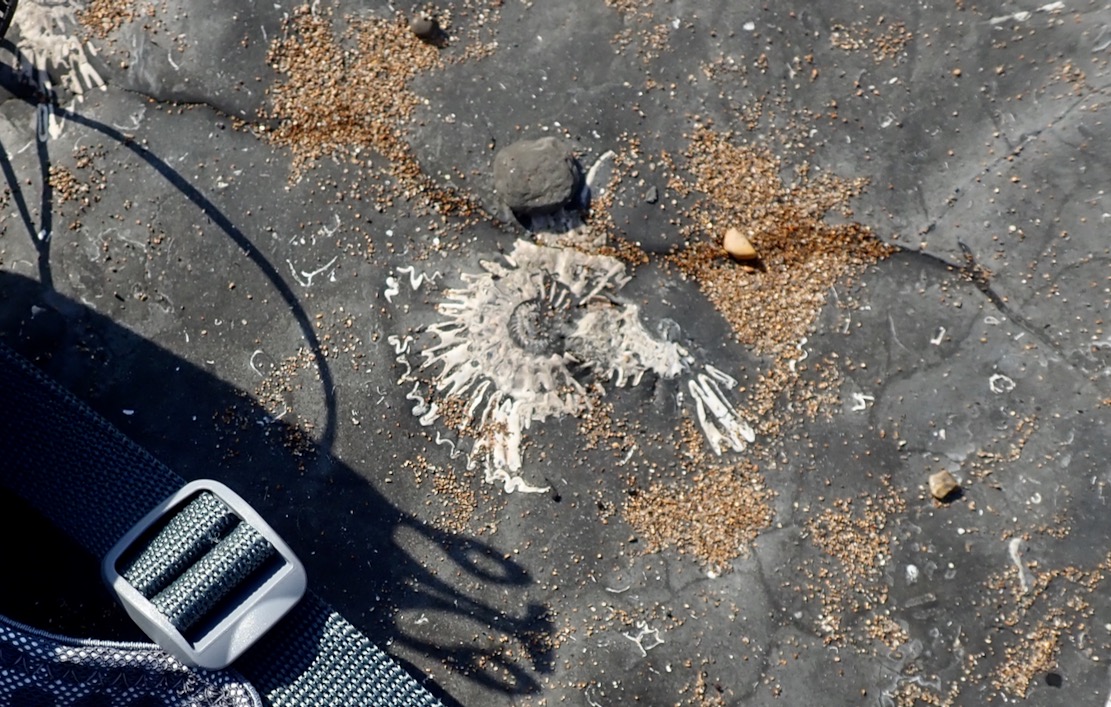
Perhaps finding tiny, loose fossils while beach combing is tolerated. When I was packing up my packraft the other day at Chapman’s Pool, I flicked off a wet flake stuck to the boat and could swear it was a thumbnail-sized ammonite fossil, DoB: 150,000,000 BC. I tried to find it among the shingle, but the fast-rising tide was lapping at my feet, so it got away. Another time down at Chapman’s (below left), the geef easily found a curl of ammonite shell the size of a thumb. Ammonites embedded in the exposed grey bedrock are everywhere (above left).
Chapman’sPart excavated Dogosaurus
Like many who know the area, I was curious to know exactly where the fossil was found – or more accurately, solving the geo-locating challenge was a bit of ‘Wherewozit’ fun. Not surprisingly, the location was conspicuously absent from mainstream reports, but within the first minute of the BBC doc the excavation site is shown, and a couple of minutes later, snout finder Phil Jacobs’ shaky phone video pans past a waterfall in the background with a limestone wall bridging it (more below), and a mention of ‘east of Kimmeridge’. Ah Ha! The waterfall appears again in the BBC doc, so all in all you don’t have to work for GCHQ to pin down a possible location.
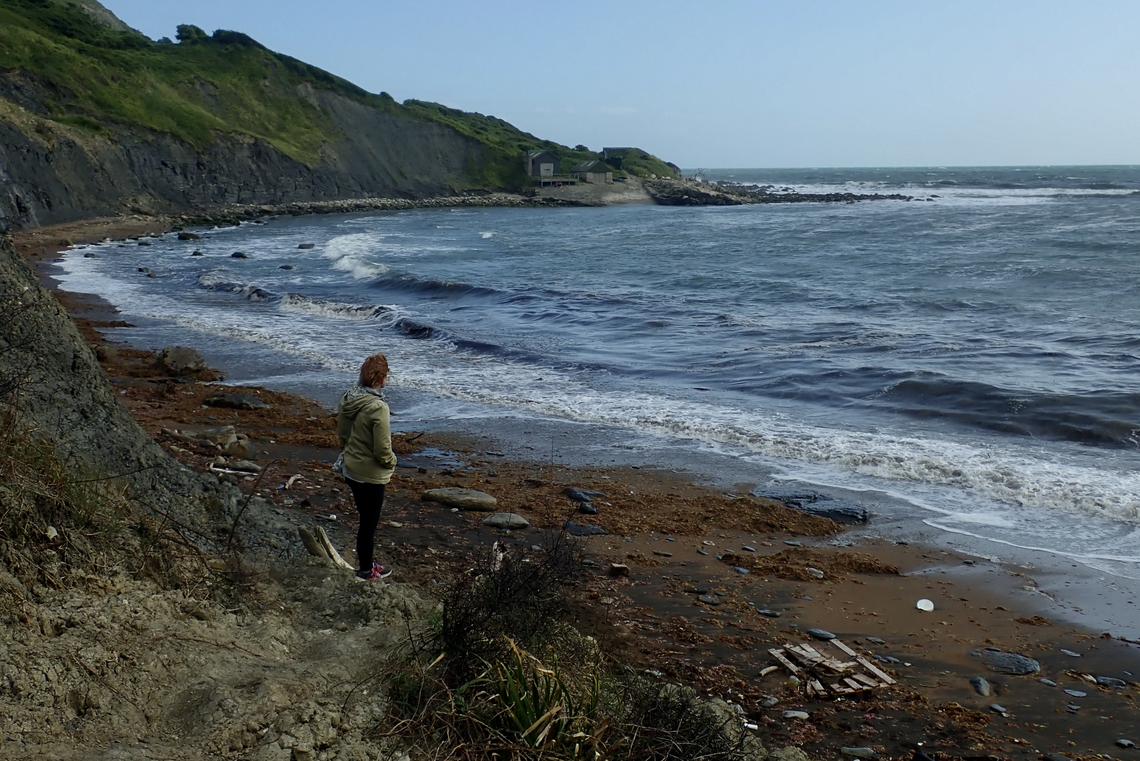
Fast forward a year and I finally got to paddle past what looked like Punta Pliosaurus on my way to Chapman’s from Kimmeridge. Beforehand, I’d wondered what would be there: disingenuous ‘Danger, Keep Away, Loose Cliff’ signs, evidence of excavation to retrieve the rest of the megafish’s body, or a huddle of day tourists from Swanage?
BBCPunta Pliosaurus?
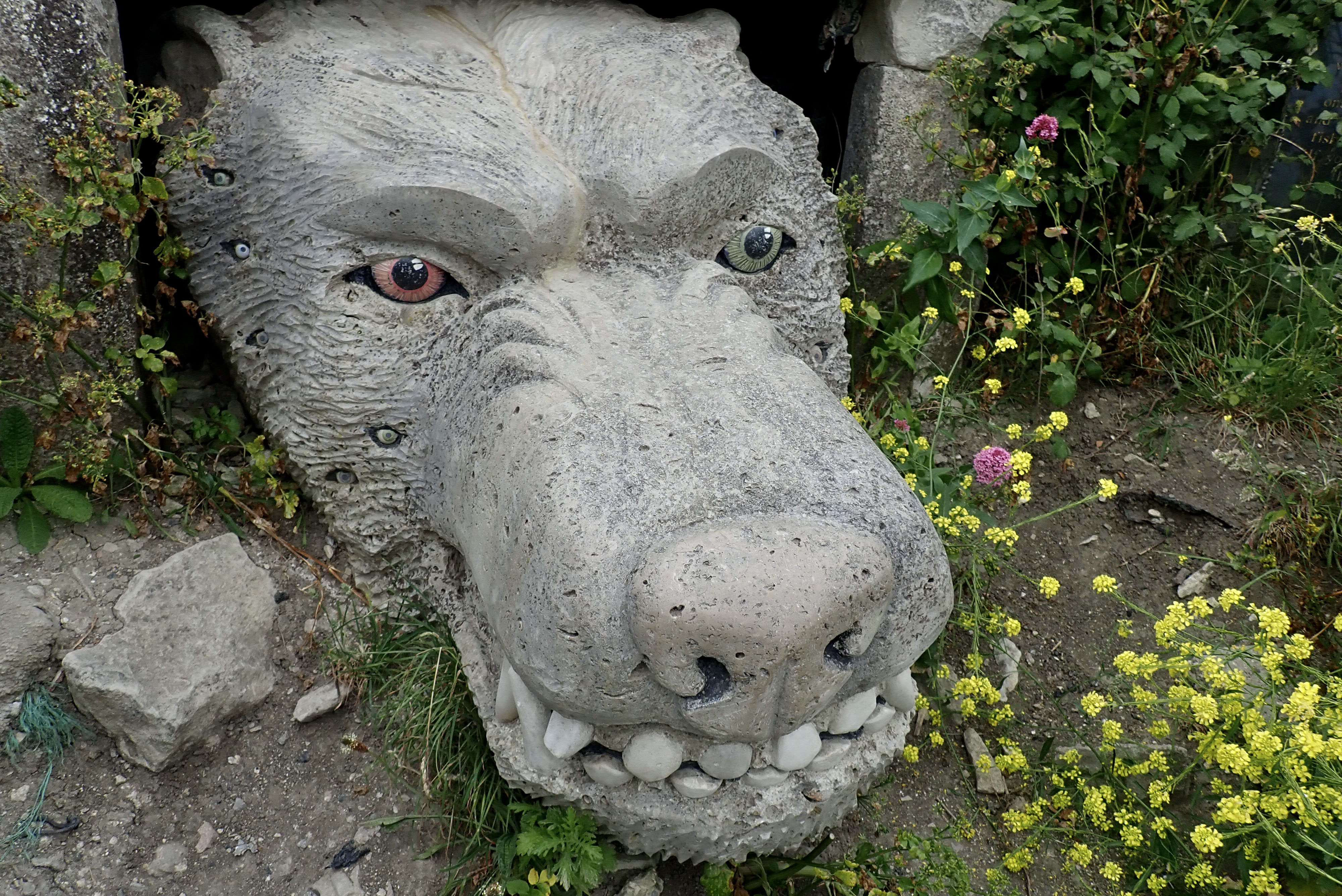
Although a late-afternoon sun was casting a shadow across the cliff (above right), all I can say is, assuming I’d got the right place, they’ve done an superb job of disguising the excavation of the pliosaur skull and restoring the cliff’s natural appearance until they get a chance to come back and finish the job. That said, a couple of weeks later a regular walker who knew the story here thought natural processes had quickly obliterated the excavation but either way, once done, they’re gonna need a bigger display case. Meanwhile, something else above the beach had caught my eye. More about that here.
Action Stations and man the pumps. Conditions are finally benign for a paddle from Kimmeridge Bay to Chapman’s Pool – a distance of over three point six miles. It’s not exactly rowing the Pacific, but in a dumpy packraft you need to pick your moments when there are no take-outs from one end to the other, followed it’s a stiff, four-mile walk back. A big spring tide was inbound for HW about 8pm and the wind was forecast at just 8mph SSW (onshore) and dropping by late afternoon. Plus it was sunny, too. Which was nice.
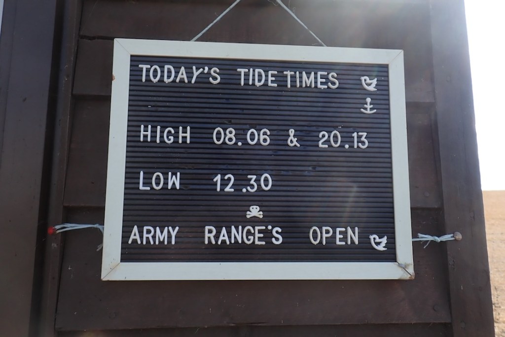
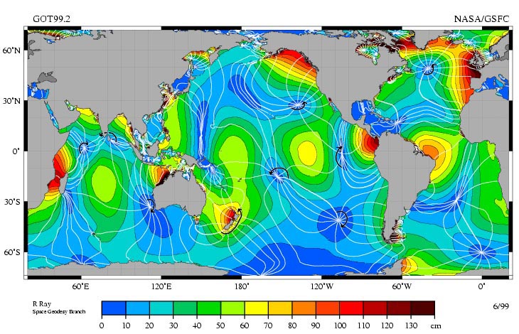
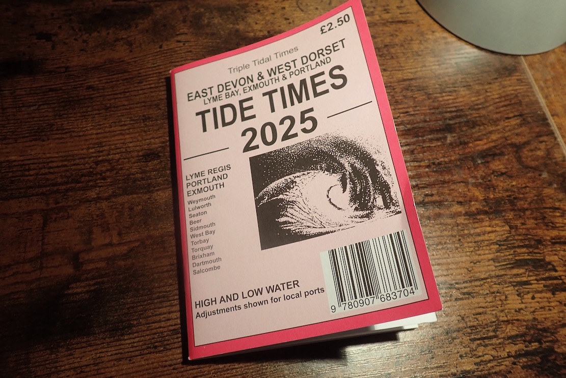
I packed a paddle in my pack and rode down to Kimmeridge Bay.At Kimmeridge Bay’s massive car park field, bikes are only £1.20, but it’s a choka bank holiday weekend so I hope the lad at the pay shed was on a percentage today. I asked him about tides which have been doing my under-stimulated brain in. ‘Err, there’s a board over there’ said laddy. At last, the Kimmeridge Question was solved, I thought, admiring the first apostrophe, but sighing at the second. It turned out the board lazily repeated UKHO Mupe Bay/Lulworth Cove timings, about 5 miles west. You’d think that would be adequate for an estimate, but not necessarily.I’m still baffled by the tides on Purbeck’s eastern Jurassic Coast. The problem is getting reliable times for Kimmeridge Bay or Chapman’s Pool, the most useful put-ins hereabouts, and timings matter the longer you’re on the water. The UKHO posts times for Mupe Bay and also Lulworth Cove which is less than a mile away. The times are identical. And then there’s nothing until Swanage, about 12 miles to the east as the black-tipped tern flies and a doable day’s paddle in a long boat. Such gaps in UKHO stations are fairly normal along the UK coast, and you’d think just estimating Mupe Bay ± ~30 mins will give a time for Kimmeridge. But around here the tidosphere is all warped. Above, a few days before neap tide, it looks like Swanage rises in synch with Mupe and then ‘holds on’ to HW for hours, before dumping five hours ‘late’.And then I found this Insta post (above) from Sharon Lee in Brighton who makes tide times posters. But not for Kimmeridge because, as she observes: ‘Notice an arc of weirdness around Dorset? That’s an amphidromic point. Which basically means the tides around Dorset (particularly the Isles of Purbeck and Portland) are utterly mad.’ Amphidromic (or a tidal node) was a new one on me, but may explain the Mupe-Swanage Incongruity (MSI), as tidal philosophers have called it since Pytheas skimmed pebbles with Posidonius. You’ll find many tide times websites supposedly offering times for non-UKHO locations, but many just list the nearest UKHO location with no real-world adjustment. As unless I am over-thinking it, Mupe Bay to Swanage needs quite a bit of Amphidromic adjustment. And while I have your attention, what is the point of UKHO listing identical times for Lulworth Cove and Mupe Bay, just a mile apart? Is it because one is civilian-touristy and the other military most days of the year? So what? Yes, there are no less than four UKHO tidal locations in western Poole Harbour (+ Wareham) as closely bunched, but it’s a busy area that drains out to mud flats at low water and the timings are all different.Mysterious tidal nodes appear all over the world. They are the Black Holes of the Oceans; go there and nothing happens. Spooky. Source Then I saw in Kimmeridge’s Etches Fossil Museum shop a locally published tide tables booklet. ‘… West Dorset’ said the cover, but ‘Covers the coast from Swanage, Dorset through to Salcombe, East Devon‘ claimed the shop’s online blurb. The publisher’s website said as much (… the whole of the Dorset and South Devon coast…). Not in the copy I bought. The tables give every day of the published year, but only for Exmouth, Lyme and Portland. There’s nothing east of Portland in the booklet, unless you include a spot check on Portsmouth or Dover. No mention of Swanage, Lulworth or other local adjustments for Purbeck. You’d think I’d not be the first to notice this, I’d have saved my money for two more moto parkings were it not for chappy behind the shop counter advising: add an hour to Portland for BST, then 15-25 minutesfor Kimmeridge. It’s Portland’s sticky out Bill that puts a spanner in Purbeck’s tidal flow, he explained. The formula was not Mupe Bay ± 30 minutes, as I’d guesstimated, but Portland + 15-25. I coughed up my £2.50 as an offering for this handy tip – I’ll appreciate it and the booklet when AI implodes the internet. But hold your paddles, there’s more! Also on the Etches website I found a link to Willy Weather with a page for Kimmeridge Bay that wasn’t just a paste from Mupe Bay, but believably adjusted times. I compared KB times many months in the future using the Portland booklet formula and Willy, and found them to be within 3-13 minutes of each other. Assuming both are broadly correct, that will do me. Willy don’t list Chapman’s Pool but do have adjacent Egmont Point which seems to be KB + 2 minutes. I’d heard of Willy Weather, but it wasn’t in my tidal bookmarks. It is now.Still reading? At the jetty by the Wild Seas Centre a pair of well prepared sea anglers were setting out in their double outrigger SoTs. Talking of gear, this is a proper sea paddle so I’m in my proper Kokatat Leviathan pfd, but it feels like wearing a folded tractor inner tube full of ice cream. Leviathan – it’s in the name. At least I won’t be too gear-shamed when the RNLI fish me out by my ear and shake me dry.I head out of the Bay and turn east. Oh MG, breaking offshore waves already! But I needn’t have worried today. There were a few more later on, but nothing the TXL+ couldn’t ride out. I actually think tackling this stage with a rising tide flooding the Ledges is the way to do it (in either direction), as any waves will diminish as the ledges submerge – won’t they? It’s more down to the wind of which there was little today, but as you paddle along you still want to glance offshore once in a while in case you’ve gotten on the inside of a building wave which can pop up out anytime, any place, any where. This is why I stayed quite far out. Not normally what I like to do alone in a packraft.
The Ledges from above.
And on a windy day west of Kimmeridge. Frothier than a Costa cappuccino with sprinkle.
The waters are clear and green. At many points I could have hopped out and waded along.
In fact, I did for a bit.
It took me back to Shark Bay, 2011. Jeff and Sharon and me in my Gumotex Sunny wading north to a unearth a cache near Peron Point after battling a stiff headwind all morning. What a great paddle adventure that was. Easily doable in a packraft too, with added dolphins, dugongs, rays and yes, sharks.
I’m on the look out for ‘Iron Skeg Beach’ I found with the Igla IK a couple of years back. Above looks similar but is not it. In the Igla I turned back at ISB to Kimmeridge as paddling on to Chapman’s would’ve meant paddling back. First time out here and with a head full of Ledge Lore, I didn’t want to get caught out as tides and winds turned, and hauling the 17-kilo boat back along the coast path would have been too much. As I was about to find out.
There is the rusty triangular ‘skeg’ (also below) sticking up. This is actually called Clavell’s Hard and studying Ian West’s page for this area, I think the object (below) may have been something to do with oil shale mining right here in the 1890. There’s a semi-naked castaway looking for treasure. I hope he knows how to get back.
The strange cast iron object that looked like a ship’s skeg – from the SS Treveal, wrecked at nearby Egmont Point in 1920? It’s more likely a piece mining gear, a winch stand perhaps.
The soft, shaly grey cliffs, rich with ancient marine remnants.Four colourful kayakers close to shore, like I should be. There’s more to see there.I pass what could be Punta Pliosaurus.
I see sailboat masts ahead behind big rocks and am a bit disorientated. Chapman’s is tucked in on the left somewhere? I check the GPS and am nearly there, getting ashore 80 minutes out of KB or 4.5kph average with a bit of dawdling, and quite a lot at 6kph, according to the Garmin. People want to know this stuff!.
Along with some moored yachts and beach bathers is a trio of menacing jetskiers playing their satanic music. But this is Purbeck so it’s not blaring, and at least they weren’t tearing up the Pool like houns en tout.At Chapman’s there are ammonite fossils everywhere you step.Even getting off the beach by the waterfall is a loose scramble, especially backpacking a holdall. As I leave, I hear the jets gun off to Kimmeridge or Swanage. I presume that’s what they did as you can’t get a trailer down here. With a packraft you can go anywhere you can walk.Up the steep, overgrown gully and across the parched field for the 500-foot climb up to Houns-tout hill – all in less than a mile from the shore. My pulse hits the rev limiter. What does Houns-tout even mean?Kimmeridge 3 miles. In these shoes? No way, Jose.
Tranquil Chapman’s and St Alban’s Head from Houns-tout summit. And actually my Teva Omniums are not the problem; it’s the wobbly, 8-kilo holdall hanging from my shoulders. But on the way back I have a brilliant idea. More here.The steep decent from Le Tout gave the underworked knees what for. I could do with my packstaff. I sold the 4-part Vertex paddle which it fitted. I need to convert my Anfibio Wave 4P but it’ll require some whittling.
Then back home I dug out an old, 55/170cm telescopic monopod (£18 on amazon Basics). It’s more gear (370g) and may slip under pressure, but zero bodging required and will work for long-arm selfies.
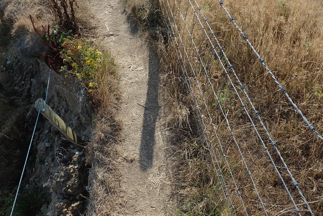
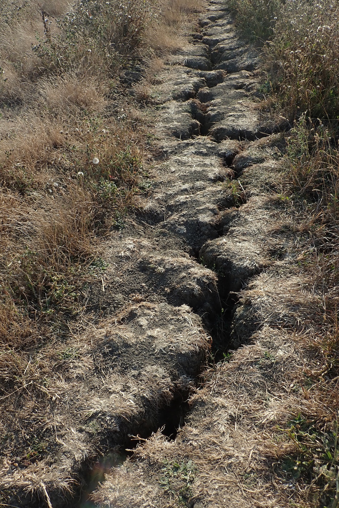
I witness a landslide near Punta Plio. This country is falling apart! I should get down there houns tout suite and see what fossil treasures came down with the rubble. ‘Get me Professor Etches, I found the tail. That pliosaur is longer than you think!’In places the path is very narrow: barbed wire right to spike my raft, big drop left to spike everything else. The first half from Chapmans is tricky in places. Don’t be part of the next landslide.The SW Coast Path is cracking up. Must be the drought. Come the next deluge it could all come apart and slide into the sea, a few feet to the left.All around as parched as southern Spain. At one point a cheerful passing walker observes ‘Ooh, paddles. What’s in the bag?’ ‘A boat‘, I reply. ‘Oooh, luvlay juvlay!’ she saysAt last, the rotund edifice of Clavell Tower just as the battery warning light starts flashing and the legs wobble. I hobble down the steps like Steptoe with a hangover, passing pouting Instagramers capitalising on the golden hour.I’m a sweaty, achey mess but it’s been a lovely summer evening’s walk up and down 340 metres along a tiny part of the South West Coast Path. They say the total elevation gain on the entire 630-mile trail from Minehead to Poole is a staggering 115,000 feet (over 35,000 meters). That’s like climbing Everest from sea level four times. And yet hundreds manage it every year, signing off with thighs like telegraph poles. They’ll see many amazing things, like Kimmeridge Bay an hour before spring HW: not a foot of a beach to spare.The ride home via a refreshing ford cools me off.There you have it: KB to Chapman’s. A lot easier to paddle than to walk. That’s another stage of Weymouth to Poole ticked off, leaving the trickiest 8 miles for last. First, Chapman’s east around St Alban’s Head 4 miles to Dancing Ledge. Then about the same distance from there to Swanage, around Durlston Head, another tidal pinch point and with no take-outs. In a sea kayak you’d swan through in one go, slicing through whatever the tides bring. But you can’t pop it in your pack and bus home. Alone in the TXL I’d pick the neapest of neaps and lightest of winds – and still break it into two manageable stages. Summer is coming to and end. Maybe soon or maybe next year.
A recent picture on BBC News of David Attenborough plugging his new Ocean film (or lamenting the ravaged state of the seas) reminded me that the dramatic Swanage Pinnacles and arches are just down the road. Having paddled just once last year, this would be a good first paddle to break in the shoulders. Last summer got nixed by a big book job, which was tackled full-on and did in my back for months and months – all compounded by finally catching the Covid (or so it felt).
Ballard Point
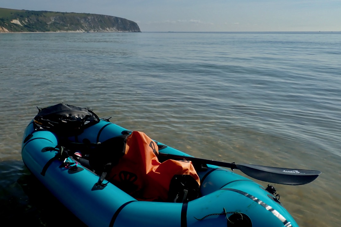
As beach towels and brollies were getting unfurled, I unrolled my boat and left Swanage Bay (above) at the bottom of the tide. It would carry me north against a light breeze that would flip and get behind me around noon. But setting off towards Ballard Point (left), the TXL was all over the place, handling like a 1psi vinyl bath toy. Had I forgotten how to paddle straight in the last year? I groped under the stern with the paddle to see if it clanked against the skeg. Either I missed it or it wasn’t there.
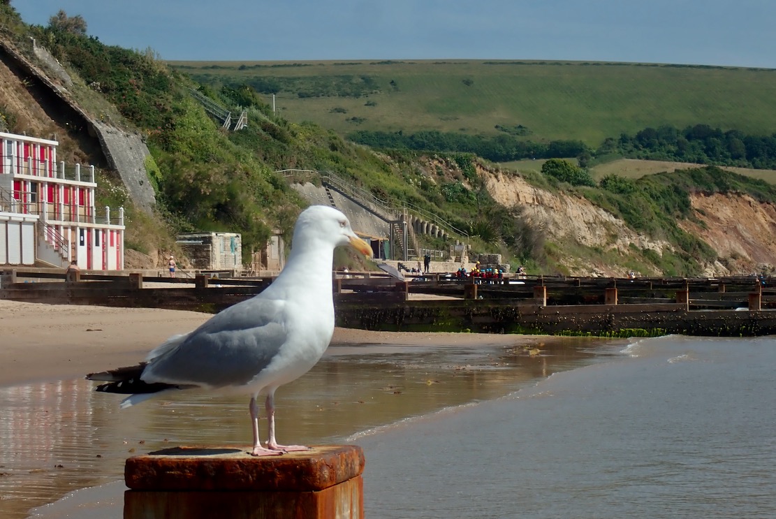
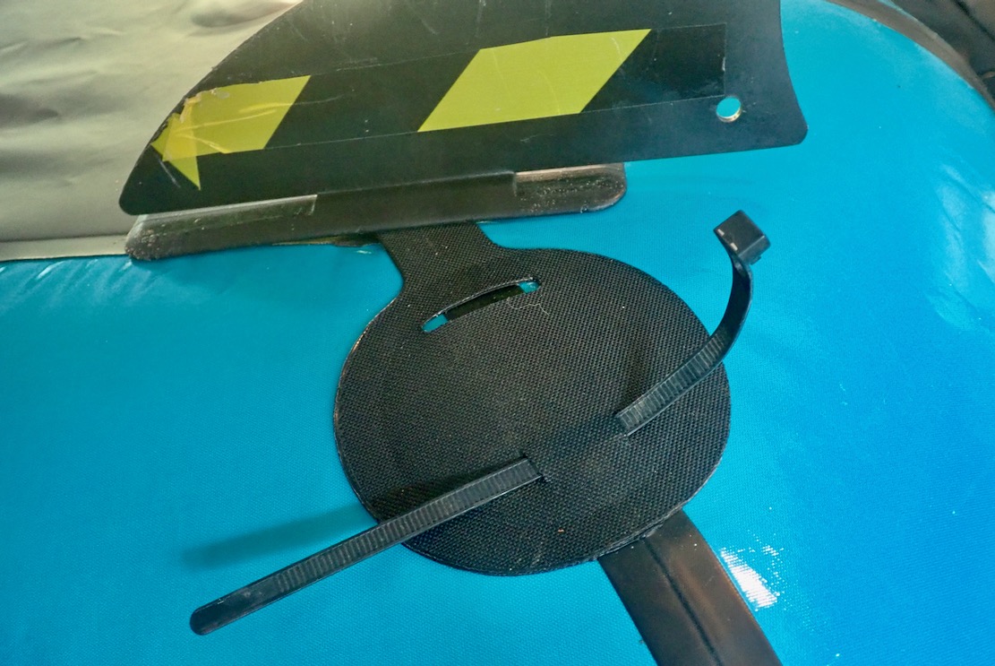
Back on the beach, sure enough – no skeg; probably dislodged while putting in. This happened once before, landing on a rocky ledge where the fore and aft of the shallow surf saw the skeg slip its mount. After that I wrapped it in hi-viz tape. I couldn’t see how it had happened today on a smooth, sandy beach, but I spent the next 40 minutes wading up and down, juggling estimates of longshore drift with onshore breezes, but unsure exactly which of the 20 Swanage groynes I’d set off from. I finally accepted the skeg was MIA: some errant doggie must have snapped it up and rushed it back to its bemused owner. Drat – and I’d paid for 6 hours parking too! I went for a swim anyway, ate my sandwich, then packed up while a beaky seagull dryly observed the lambent folly of human endeavour.
Look for my Skeg, ye Mighty, and despair!
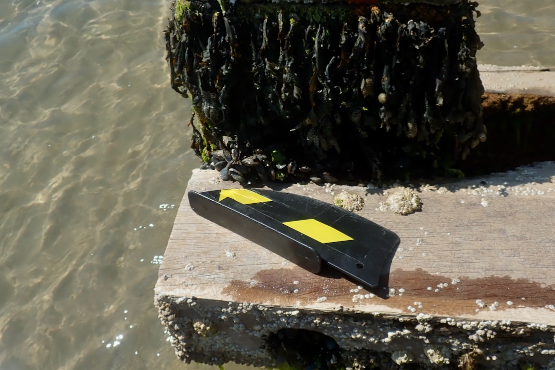
Heading back, I recognised a little sandcastle I’d passed on my way down to the shore, all of 2 hours ago. Was it here I put in? I wandered back to the nearby groyne on the off chance, but soon got distracted by the flash of some sunglasses. I waded round the end of the groyne to pick them up and there sat my skeg! Like a lost desert traveller expiring just one dune short of a palm-ringed oasis, my search had been one groyne short. Saved by a thoughtful beachcomber, I grabbed my skeg and left the shades: this show was back on the water ;-)
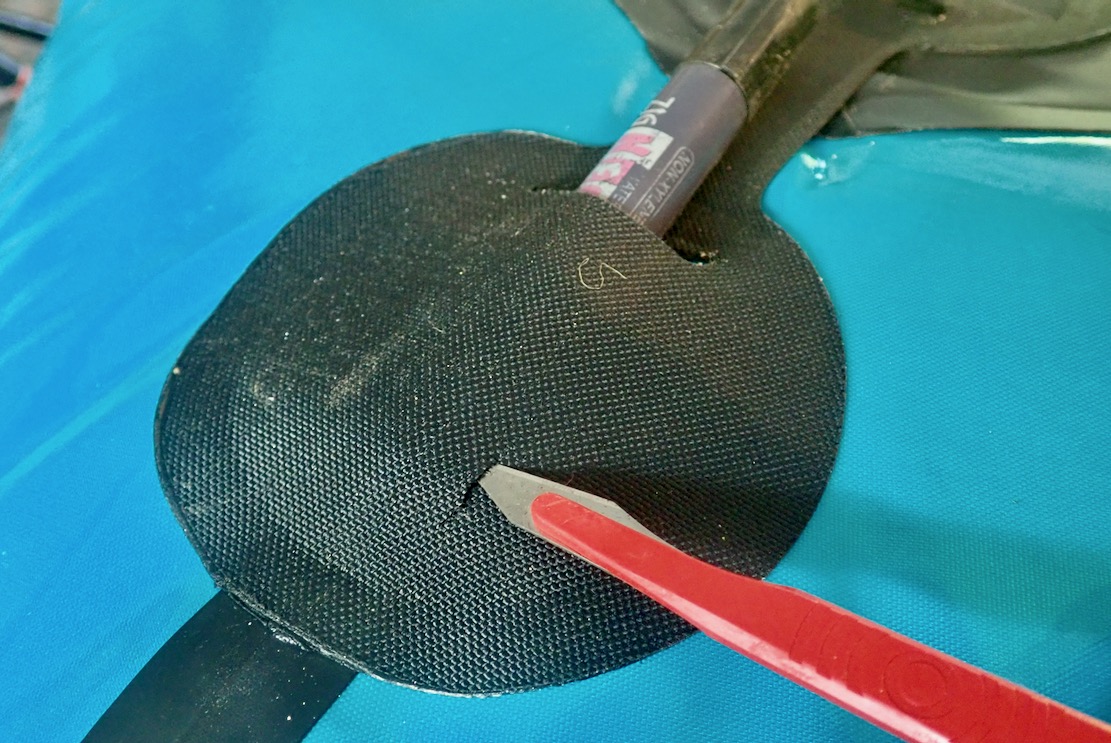
Don’t lose your skeg The lack of tension, even once inflated, can dislodge an Anfibio skeg following a small fore and aft movement of the hull pressing on the sea- or riverbed. On a flowing river, skeg-free is not so bad and you might need the clearance anyway, but at sea you definitely want a skeg for good tracking. Here’s one solution. • Stick something like a fat sharpie under the rear skeg patch to lift the fabric away from the hull; you don’t want to stab your packraft • Make two incisions which line up with the hole at the back of the skeg • Feed a reusable cable tie through the slits and leave it in place. The skeg will now be secure
CutThreadLock
Skeged up, the TXL sliced NE towards Ballards Point like a troupe of dolphins late for the ball. I was sitting on the optional floor inflata-mat, which stiffens the long hull, reducing drag). Edging towards the Point, I could feel the boat slowing down against the eddy hooking back southwest into the bay (left; LW+3). Passing over the corner some clapotis (below) was jingling about, pushed up by the eddying current.
Once round the corner, with the wind and tide now behind me, I was expecting record speeds. As usual though, with a backwind you lose the ‘wind-in-your-face’ impression of speed, which can be quite dissatisfying. To my right, jet-skiers were thrashing about, making me feel uneasy. Paddling quietly along, it’s hard not to feel intimidated, far less any aquatic fraternity towards these wave-jumping motocrossers. The sooner they all go electric the happier we’ll all be. But either way, I bet they’re a blast to ride!
Awesome!
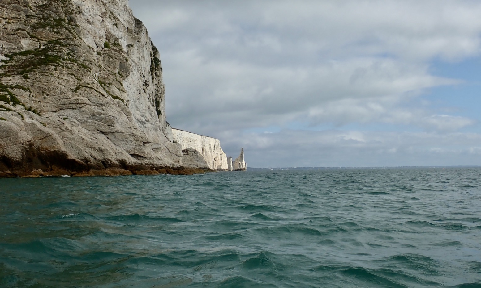
Up ahead rose the oddly nameless Jurassic fang, seen behind Attenborough at the top of the page. All the other outlying pinnacles hereabouts are flat-topped. When you work out the thin rib of chalk where they got DA to stand to get the shot, you’d hope there was an unseen safety line securely attached to Britain’s most treasured national. As I passed between the fang and the cliff wall, a gust shoved me through, and I saw later the GPS had hit a dizzying 9kph.
Beyond lay the first of the chalk arches which make this paddle so special, and why it got featured on the title page of my IK beginner’s guidebook (below). At the first small arch the wind bounced me back off the high walls, then whooshed me through the calcified portal like a popped cork. On the far side some paddle-boarders out of nearby Studland were taking a break on a tidal ledge.
With the tide about halfway in, I threaded the passable arches around Old Harry’s (above), while other paddle sports enthusiasts milled about at the geological wonder of it all and from the cliffs above, walkers looked down with envy. Once round the corner and in the lee of Ballard Downs, all that remained was to head west for Studland South Beach and pull the plug.
Convincing
With a bit of energy to spare and nothing to lose, at one point I put my head down and powered on to see ‘what she’ll do [mister]’. The GPS data log revealed a blip from a steady and sustainable 5kph to a limited-endurance 6kph, which would soon drain the batteries. Six kph must be the maximum hull speed of a TXL on near still and windless water. Better to save such efforts for unwanted offshore headwinds. Even then, looking at the data below, I’m again amazed what a portable raft which you can easily pack up and walk with anywhere will do on the open sea. ISuPs may be loads more popular, but to paraphrase former Met Police commissioner, Robert Mark, ‘I’m convinced packrafts are a major contribution to paddle sport adventures’.
Fast
On South Beach oiled-up heliophiles were laid out like seals. It reminded me of a radio doc about boredom I’d caught the previous evening. In an experiment, apparently 70% of males preferred to self-administer a light electric shock rather than sit still in an empty room for 15 minutes. They should give them a sun bed next time, but perhaps I’m missing the point.
I could have walked back the couple of miles over Ballard Downs to Swanage, but what with the time wasted on the skeg search-and-rescue mission, I didn’t want to risk getting back late to the parking before something terrible happened.
So I treated myself to the 20-minute open-top #50 bus ride back to town.
All together now: We’re all goin‘ on a Summer holi-day…’
‘Calm… caaaaalm’. It’s what you say to a hyperactive child. But it’s also what you observe as you scan a weather forecast: 3-4mph onshore southerly, backing southeast later. With sunshine too, it could be the Last Good Day of the Summer. I left my moto just as they’re opening the gate down to Tynehamghost village. From there the Mrs drives me on up the coast to lovely Lulworth Cove for a sneaky 9am bacon buttie. I do worry about my B12 levels sometimes.
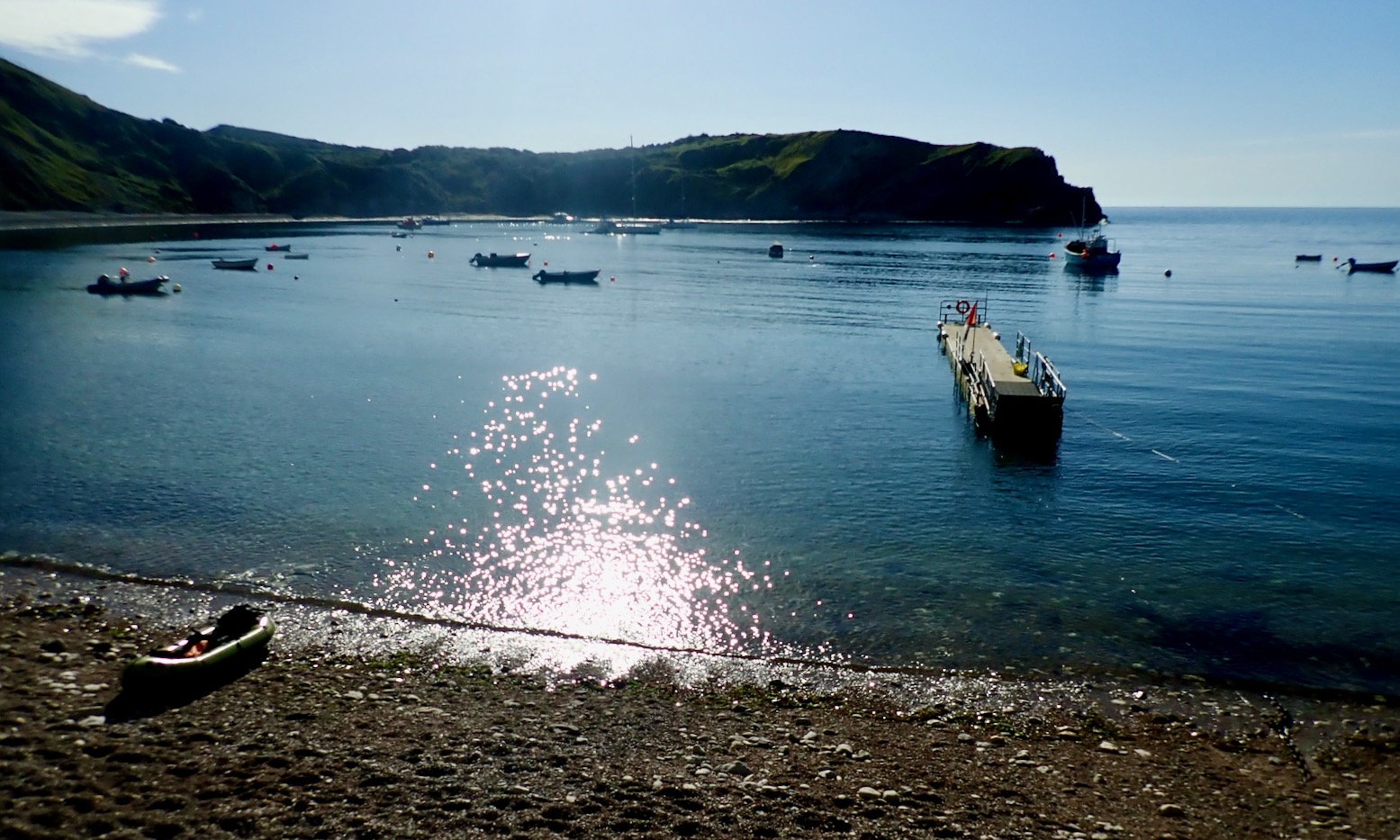
All calm at Lulworth
“Oh wow!” squealed a little girl as she also arrived with her family at Lulworth beach. And you can see why; it’s an amazing natural feature which along with others help make Dorset’s Jurassic Coast a World Heritage site. Within an hour the renowned amphitheatre would be standing room only but hey, it’s August on the South Coast; if you want a lone beach, pack a mac and go to the Outer Hebrides.
Red shaded area is army firing range which – land or sea – is usually closed.
Today’s plan was head east 9km to Kimmeridge Bay as I gradually joined the dots packrafting Dorset’s Jurassic Coast. This time last year Barrington and I sailed here from Ringstead Bay near Weymouth, before getting sent into Lulworth Cove by an army patrol boat. The following eastward section of coast is an army firing range that’s only open to the public on weekends or throughout the August holiday season. And even then, some landing spots are closed, and inland you have to stick to the paths in case you step on an unexploded bomb. Tragically that happened in 1967, though thankfully only once and as a result, today warning signs along the footpaths are everywhere.
Leaving Lulworth
Once out of the cosy Cove, the first section should be easy enough, but if not I could hop out at Warbarrow Tout, walk a mile to the bike at Tyneham and ride home. Continuing all the way to Kimmeridge depended on confidence and energy levels, and how the sea actually looked once out of the sheltered Cove.
Today I’ve remembered everything, including my repaired Multimat floor pad. All you need is to get into a routine; let me know how to do that. And as I set off towards the Cove’s mouth the TXL definitely has its glide on. I have two hours before the tide turned and the wind with it, but right now the boat felt great. I even remembered to pull up my knees straps, and felt nicely connected between the TXL and my paddle blades
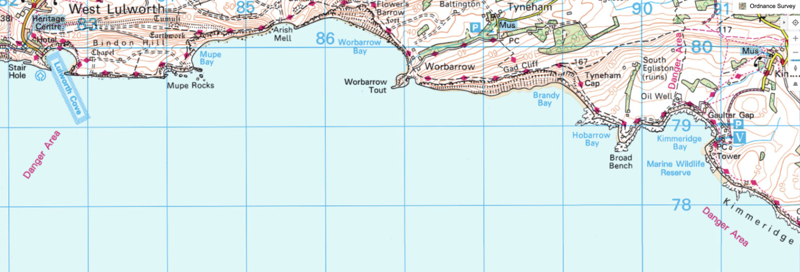
Towards Mupe Rocks I had the odd sensation of offshore waves bouncing off the cliffs – it made getting close tricky. I see on an online marine chart (below) the seabed drops off quickly here so the swell just rolls in and boings back out. They say there’s a petrified tree here somewhere – or ‘Fossil Forest’ in over-heated tourist-speak. But I learn later it’s by a path on the cliff top where there are also periodic radars (left) and other sinsiter MoD installations.
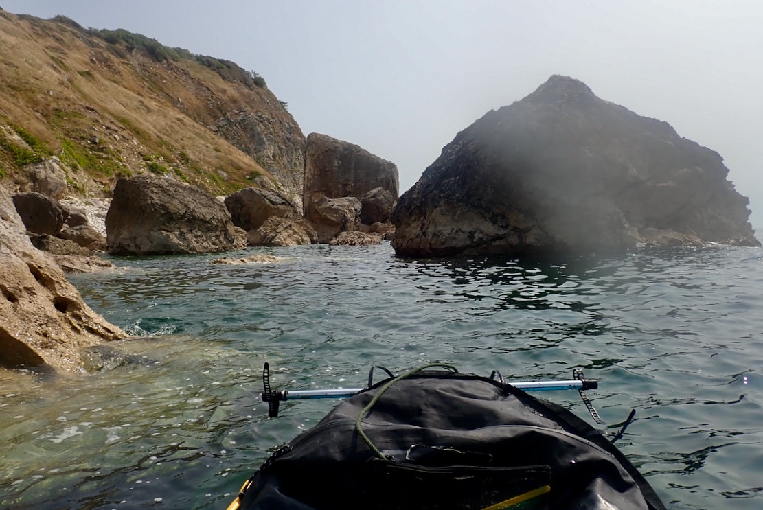
Mupe Rocks turn out to be rather ordinary remnants of fallen cliff, not like the gleaming white chalk stacks I paddled last week near Old Harry. With no interesting arches or caves, I thread about but they’re a bit disappointing.
Mupe Rocks
Seaweed streams reassuringly eastwards with the rising tide, and as I round the corner Mupe Bay opens up, revealing half a dozen moored sailing boats. Behind them rise the steep chalk cliffs which you can see for miles down the coast.
Mupe BayMupe Bay and Warbarrow, a day or two later.
Landslide
I wonder about putting ashore at a gap in the cliffs called Arish Mell because I can. But perhaps I can’t, even in August, if I have interpreted the map warnings correctly. Behind the beach I spot some huts, shipping containers, pickups and activity. As it is, my equilibrium is disturbed by some strangely large waves rolling in across the middle of otherwise calm Warbarrow Bay. A submarine shelf? They’re not crashing ashore as far as I can see, but I decide to stay out in the Bay.
Arish Mell gap
Activity on the Mell
Turns out Arish Mell is off limits 24/7/365, using the proven UXO gambit which didn’t seem to be bothering the chappies ashore today. Another possible reason may be that from around 1959-1990 give or take, ‘slightly radioactive effluent’ was piped out here from the former Winfrith nuclear research facility a few miles away near Wool. They’ve been decommissioning Winfrith ever since, and we should be grateful that with much effort they saw fit to extend the outfall pipeline two miles out to sea. You can see the pipe on that marine chart above. Coincidentally, this week Japan started doing the same thing at the damaged Fukushima reactor, raising the ire of seafood enthusiasts in China. Meanwhile, this well-produced 1959 Atomic Energy Authority promotional film describing the pipeline project seems very proud of itself.
So I set course for the conical headland of Warbarrow Tout (old English for look-out) at the far end of the Bay. The sinister waves subside and something else changes: the TXL glides across the smooth surface effortlessly. I am able to draw a long, slow, kayak-like paddle cadence, not the usual thankless spinning. Later the GPS data revealed the combination of windless conditions and the Multimat helped the raft skim along at up to 6.2kph or 3.8mph. I’m not sure it’s ever sailed that fast so, even aided by the final hour of a modest, metre-high tide, that’s quite impressive.
Actually, I don’t know why I’m so surprised. Although I seemed reluctant to admit it initially, the first time I tested the TXL with the Multimat in the Summer Isles, the evidence was right there (left), even if it wasn’t night and day.
Approaching Warbarrow Tout
As I neared the Tout I was anticipating some sort of disturbance from an eddy being pushed out by the eastern hook of the Bay. Sure enough, the TXL passed over a patch of clapotis without breaking it’s stride, but as I moved on past Pondfield Cove (a mini Lulworth) something changed again – the boat seemed to slow to a crawl. The coastline was creeping along but a check the GPS only registered a slightly slower speed.
Warbarrow Tout and Gad Cliffs beyond
As usual with winds, other anomalous currents and flotillas of irate pirates, I wondered if this would set in or get worse all the way to Kimmeridge, with get-offs but no take-outs along the way. I decided to carry on below the Gad Cliffs to the prominent Wagon Rock and if nothing changed, I’d turn back and walk out to Tyneham.
Gad Cliffs. Dorset’s cubist Mount Rushmore
But by Wagon Rock the countercurrent had subsided and the GPS later showed I resumed the steady 6kph pace. Sea paddling alone an semi-appropriate boat makes you more alert to minute changes in conditions which a sea kayak would pass with barely a shrug. I later wondered if it was possible the eddy from the hook formed by Warbarrow Tout could draw back or suck in a current ‘beyond’ itself, as shown below. Who can fathom the mysteries of fluid dynamics?
Beyond Wagon Rock the grey sweep of Brandy Bay‘s oily shale cliffs plunged down to the sea. Up ahead I was reassured by the sight of Clavell Tower, just 3km away, marking the far side of Kimmeridge Bay. Less comforting was the breaking water between me and it: the ledges of Broad Bench spotted when I paddled the Igla here a few weeks ago. It would be alarming to have one of these rise up on you out of the blue (below).
Sneaky wave
As always, the solution to such unpredictable seaside disturbances was to paddle further out, even if the instinct (and interest) was to hug the shore. I aimed for the distant St Adhelm’s Head and safely rounded the churning maelstrom of Broad Bench, with the bedrock visible a few feet below. That done, the crossing was in the bag and I worked my way towards the beach where crowds were streaming down to the shore with their dogs. Nine clicks covered in less than two hours from Lulworth. Not bad.
Brandy Bay in a gale.
Interesting shelf
A few weeks ago we walked the coast from Tyneham on a very windy day. At low tide the ledges at Brandy were a froth of white foam (above). Today, walking back 4km to Tyneham, the Long Ebb shelf delineating Hobarrow Bay was already emerging from the retreating tide. Looking back, I was reminded the nearby big shelf (left) behind Broad Bench was worth a nose about for fossils or dubloons, even if MoD poles discourage this and you can only access it by boat. It’s one for next time.
Above Tyneham looking back to Mupe Bay
Midday and Tyneham car park is already packed. Another section of the Jurassic ticked off or recce’d for another pass. Hopefully there’ll be a chance to do the 6km from Kimmeridge to Chapmans Pool before we roll up for the winter. That will leave the two points of St Adhelms and Durlstone for the next caaalm day.
On Google Maps an ebbing tide spins out an eddy of sand out into Swanage Bay.
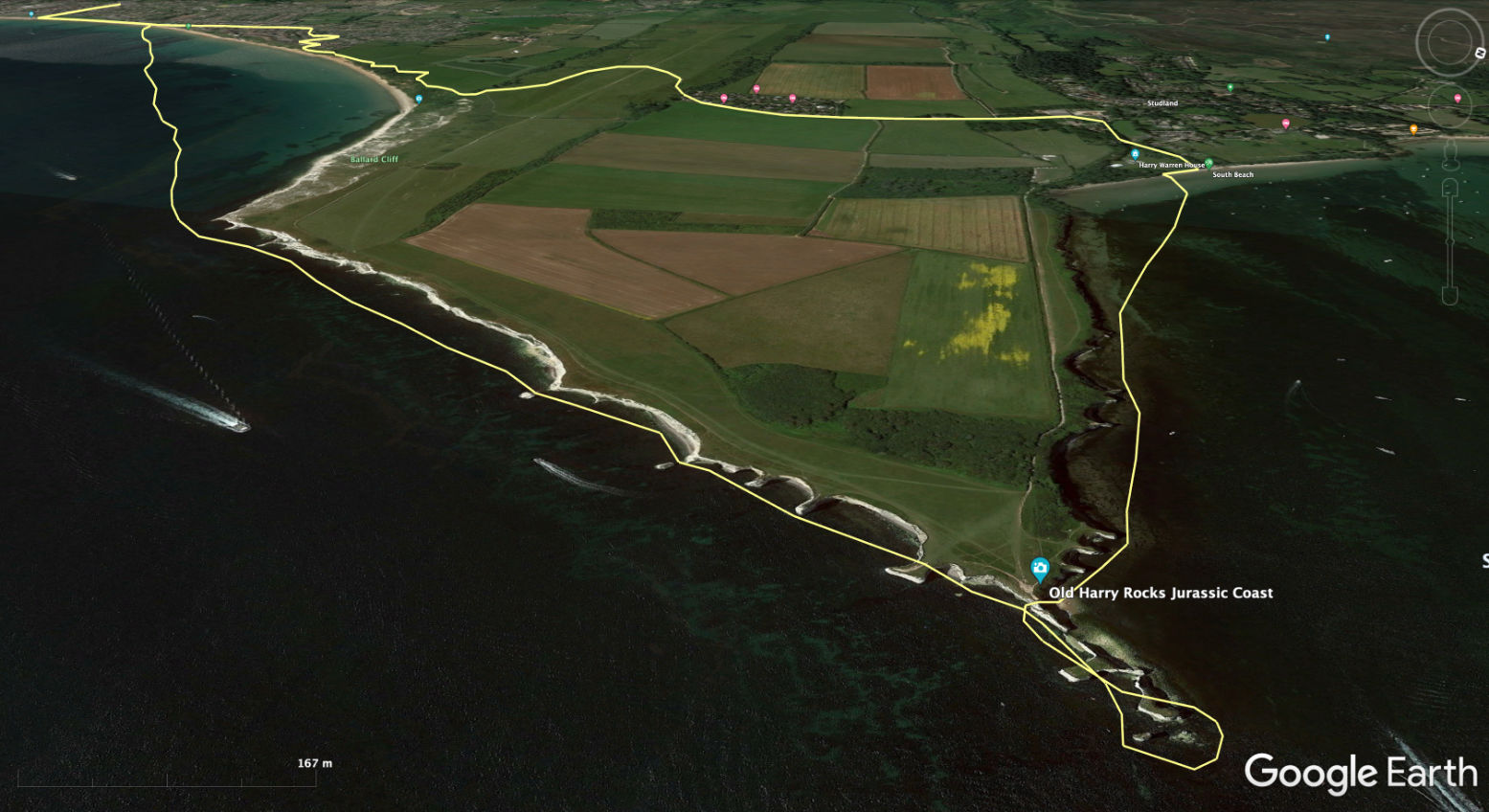
Swanage to Studland past the Pinnacles is one local paddle I don’t mind repeating. In normal conditions it’s the most dramatic, easy paddle I know on the Jurassic Coast, sheltered as it is from the Channel swells. Today I’m going to make a loop of it: packraft round to Studland and walk back to Swanage over the downs (map left). All up about 11km which should be doable in the 4 hours I’ve put in the meter.
It’s always further than it looks to the north corner of Swanage Bay at Ballard Point, so I sit back and let the wind do the work. But apart from the odd gust, it doesn’t feel like 12mph – like sailors say, it’s either never enough or too much. GPS recordings later reveal no records were broken.
Leaking Multimat
Around here I was expecting to top up or ‘temper’ the TXL’s sagging hull with the handpump once the air inside had cooled down and softened following 20 minutes immersion (as explained on the previous outing). But remembering the Multimat floor mat this time, there was no tell-tale crease in the TXL’s sidetubes, even with a slow leak I noticed at the beach from one of the mat’s seams (left). So the mat must do the job in supporting the hull, even if, sat higher, I felt a bit wobbly on setting off. The mat’s not been left out in the sun, let alone sat on since I filled it in advance, but I’m not surprised a leak has sprung, with probably more to come; I-beams are weak under pressure but it’s a necessarily lightweight design that still weighs nearly a kilo. You pump the mat up as firm as you dare, otherwise what’s the point; I must have gone a bit far. I’ve picked up similar, wide, I-beam seats from Anfibio with the same damage; all easily repaired with quick wipe of Aquasure sealant. I know it would need a stronger pump (like my K-Pump Mini), but, despite added cost and probably weight, a 2-3 inch thick dropstitch floor mat – either TPU or nylon – would be a more durable floor mat. The AE Packlite+ packrafts use them.
Round the corner the wind eddies out and drops a bit, and up ahead the big spiked pinnacle is still such a surprise I initially mistake it for a big moored yacht. You’d think I know by now. A couple of sea kayakers are heading the other way, into the tide and breeze. They’re curious about the sail and raft.
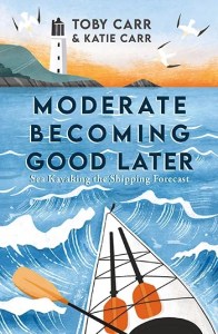
I admire their sleek, water slicing craft. I’ve just finished reading Moderate Becoming Good Later, Toby Carr’s attempt to kayak in the 31 Shipping Forecast zones (right) before he succumbed to cancer in early 2022, aged just 40. He pushes himself hard, starting with Iceland, a lap of some Faroes, out to Utsire island 40km off Norway and the full coast of Galicia [Biscay, Fitzroy], as well Bishops Rock lighthouse beyond the Scillies [Plymouth, Sole, Fastnet, Lundy] before his health collapses.
He reached some amazing places and it reminded me what a uniquely effective boat the modern sea kayak is in experienced hands. Combine today’s lightweight composite materials with inexpensive GPS tracking, satellite comms and ever more accurate forecasts, and radical paddles like the ones listed above become possible if you have the nerve, the strength and the wits to know when to wait it out.
But I’m bobbing along in a packraft, also a great tool for more amphibious adventuring. More kayaks come through, including some SoTs and all clearly unpatriotic types disinterested in how England’s women might be doing in today’s World Cup Final. Luckily we can look forward to days of analysis and debate when we get back ashore. As I near Old Harry I tuck the sail under the deckbag and wait for some paddle boarders to squeeze through on their knees before threading all the arches I can; there must be over half a dozen here, not all full or wide enough for the TXL at the current tide level.
No PFD?
As this news report from a few weeks ago shows, it doesn’t always end well for paddle boarders taking the 1.2-mile run from Studland beach to Old Harry’s. But at least the guy rescued after 7 hours was wearing a PFD which I rarely see among paddle boarders. It’s just never become a custom, same as with Thames rowers. I don’t get it myself but maybe the lack of required clobber is part of iSUPing’s appeal. It is of course easy to crawl back aboard so out at sea – always a sketchy idea – an ankle leash is probably more important.
Arch bagging at Old Harry Rocks
That done, all that remains is a paddle along the northern lee of Ballard Downs to a busy beach all of 6 feet wide, pack up and a walk back over the Downs to Swanage.
Looking back north from Ballard Downs to Studland Bay and the entrance to Poole harbour.Turn round and Swanage Bay lies up ahead.It’s that time of year.