See also:
Packboating in Southern France
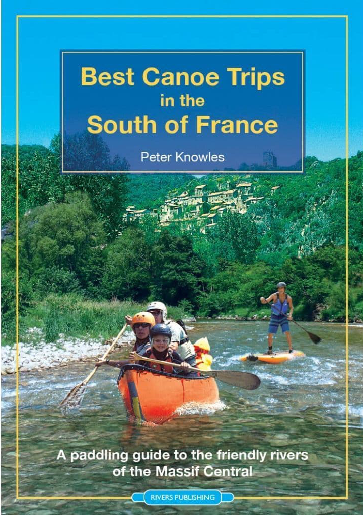
Best Canoe Trips in the South of France guidebook
Bradt, Paddling France guidebook
For reasons of topography and size, France, particularly the south and west, has some great paddling rivers. Mountainous areas not immediately adjacent to the sea produce long rivers along which you can choose the gradient and level of difficulty that suits your ability. And you can do so for days at a time. You can also add unfettered rights of way on the water, though that’s an unfortunate anomaly unique to England and Wales.

What they Say [translated]
RIVIERES NATURE EN FRANCE answers all the following questions.
For each route, you will find:
• level of difficulty (easy to intermediate), the length and duration
• specific regulations for the route
• minimum, maximum and ideal water levels, and how to know them
• access points with gps coordinates
• QR codes to map access ponys and water level stations
• description of the route (km by km, focus on difficulties)
• short hikes off the river (canyons, caves, viewpoints, etc.)
• specific safety advice
• useful addresses (campsites, visits, service providers)
• detailed map with an IGN topographic background

• Must be the ultimate guide to southern French rivers
• The author has been there and paddled it – all bar three of the hundreds of photos are his
• Very nice full page maps detailing portages and rapids
• Parallel river summaries in German
• More IK photos than you can point a paddle at
• With a mobile signal, QR codes for put-ins go straight to your device’s map
• Numerical waypoints also given
• Nice paper and great value per gram
• Printed in Belgium – better sustainability

• It’s in French – domage
• The design can be a bit dense
• Packrafts (and SUPs) not seriously considered
Review
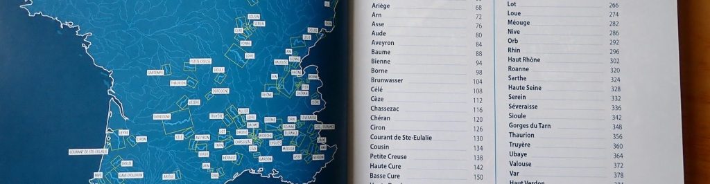
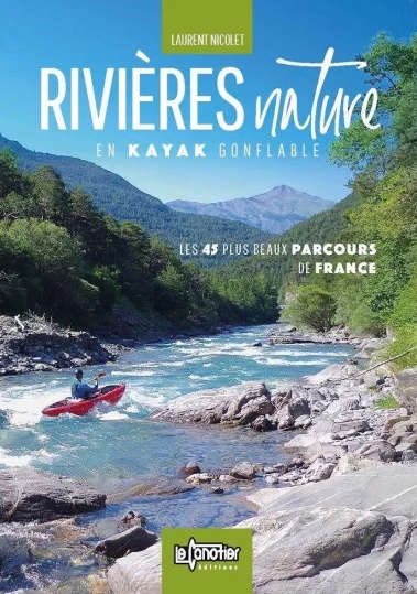
Rivières Nature en France is a similar if far more comprehensive title to the dozen rivers in Best Canoe Trips in the South of France (left) which I’ve used myself. This 416-page book compiled by Laurent Nicolet (distributer of Gumotex IKs and Nortik packrafts in France) lists no less than 100 routes over 63 rivers mostly in the south and west. It also shows parallel short summaries for each route in German and is sold on amazon UK for under £25. The book has more images of IKs than have probably ever been printed – even after my book came out ;-)
This edition seems to supersede an earlier title published in 2018 called Rivières Nature en Kayak Gonflable which is Nicolet’s day job. For years he’s produced videos validating the utility of ‘kayak gonfables’ or KGs in French. It might well be the same or very similar book, but reprofiled away for IKs towards all paddle craft.


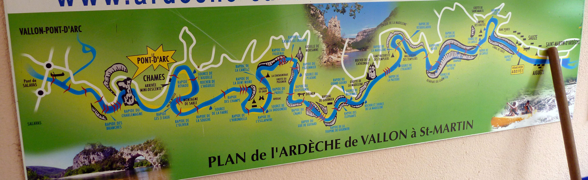
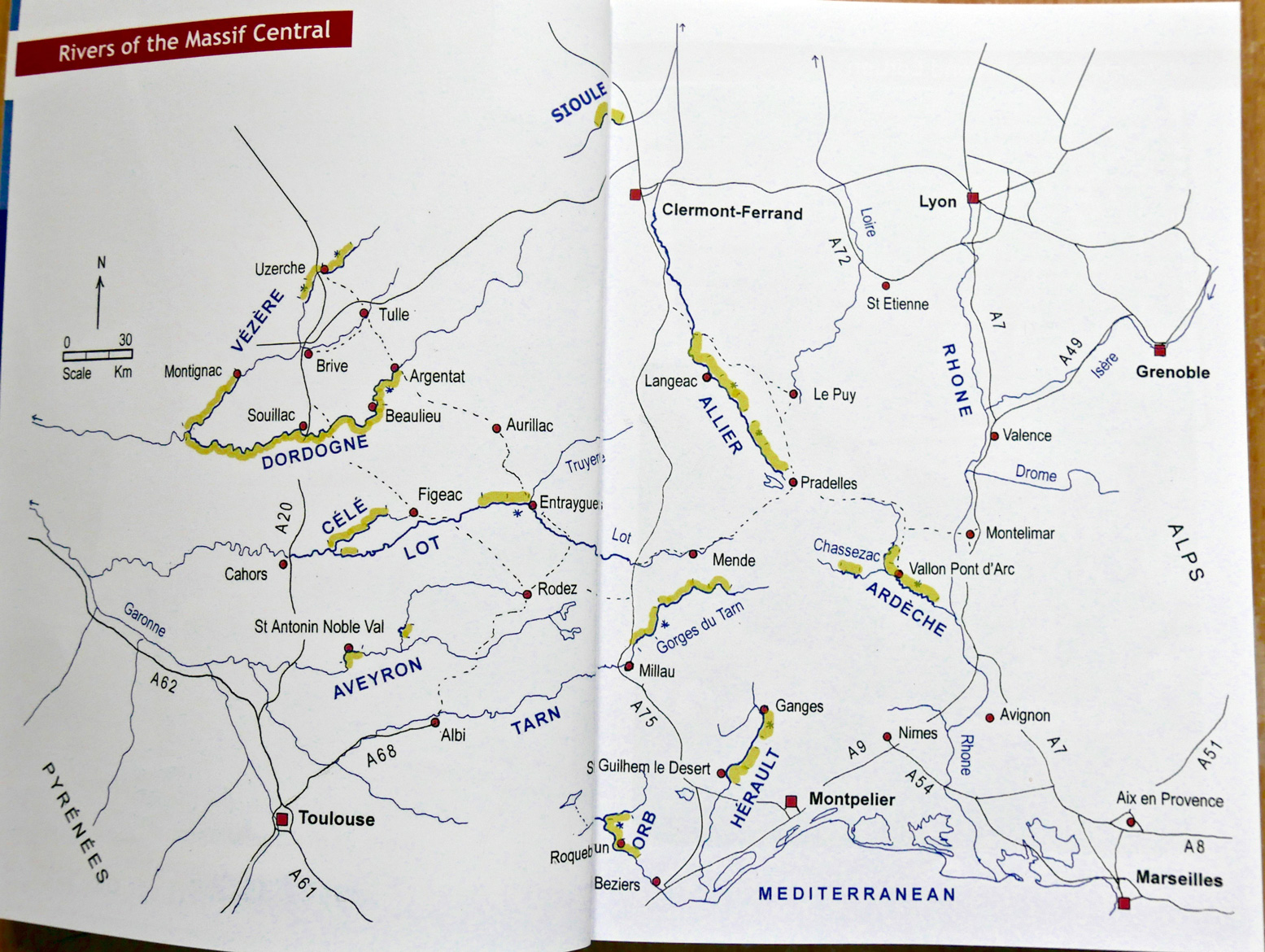
All the great rivers of the south are here: Tarn, Ardeche, Dordogne (ideal for beginners), Verdon and the sportier Allier, as well as a whole lot you’ve never heard of. Up front you get a location map (above), after which each river is listed alphabetically and described over a few pages.
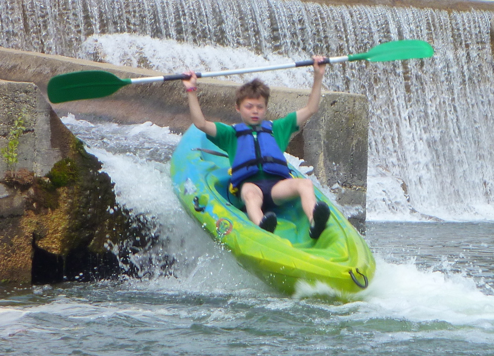
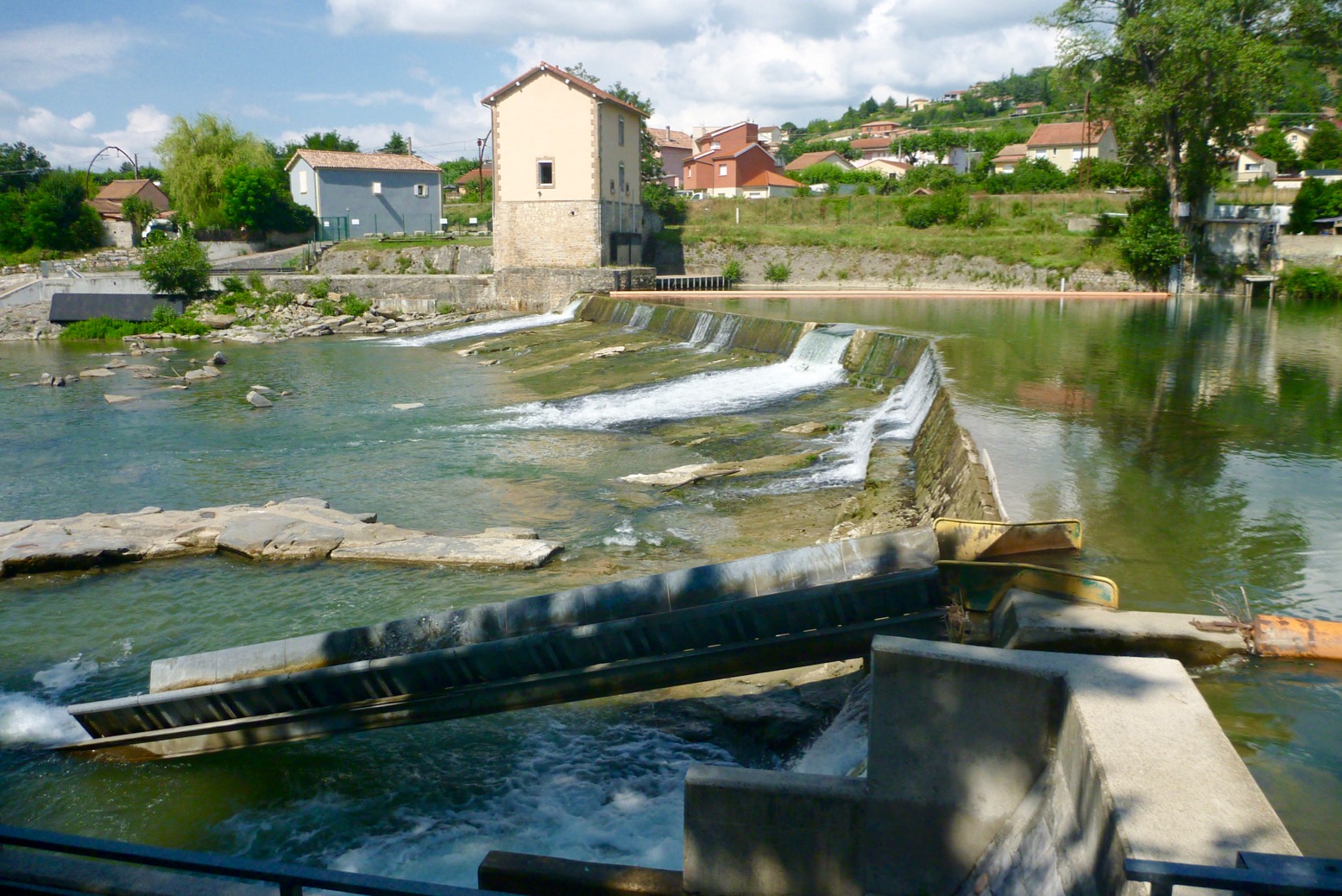
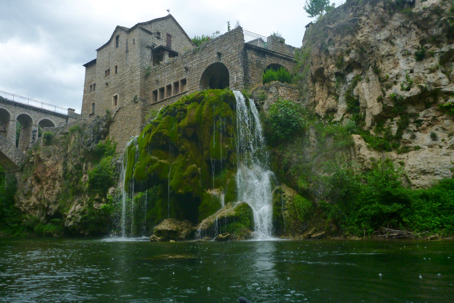
There’s the usual advice on what gear to take and safety tips like never tying yourself to the boat (SUP leashees take note) or shooting weirs without checking first. That’s unless there’s a portage-dodging passe canoës or canoe chute (left) – a common feature on French rivers which add greatly to the fun. There’s also an interesting rant against official censures against solo paddling “Imagine such restrictions on walking and skiing!’ Quite right, mon brave.

The author covers the full range of kayaks and canoes, hardshell or inflatable and even packrafts and SUPs (translated above). But less versatile SUPs and packrafts are virtually excluded from the book’s copious imagery, though a decked or bailing packraft could probably managed all the whitewater shown, and there must be some easier rivers which could be ‘boarded. On p379 I’m not sure the bloke balancing upright on some sort of dropstitch picnic table is on a SUP as we know it.
There follows the usual advice on ‘leave no trace’ including using Le Poop Tube en sauvage, an explanation of Class 1-6, the vigicrues website for reading live river levels and which I discovered one time on the Allier, and advice on organising shuttles – all much eased if not eliminated outright by using portable packboats.
I won’t pretend to have read this book cover to cover, were that even possible – I speak French a lot less badly than I read it. But I only recently realised the ease at which a page can be translated with a translation app using a tablet or phone camera, or dropping an image into Google Translate. Reading a translated A4-sized page on a phone screen would be tiresome; easier to do back home on a desktop and print out. Some examples below. Note you have to excise the QR codes or Google goes there.


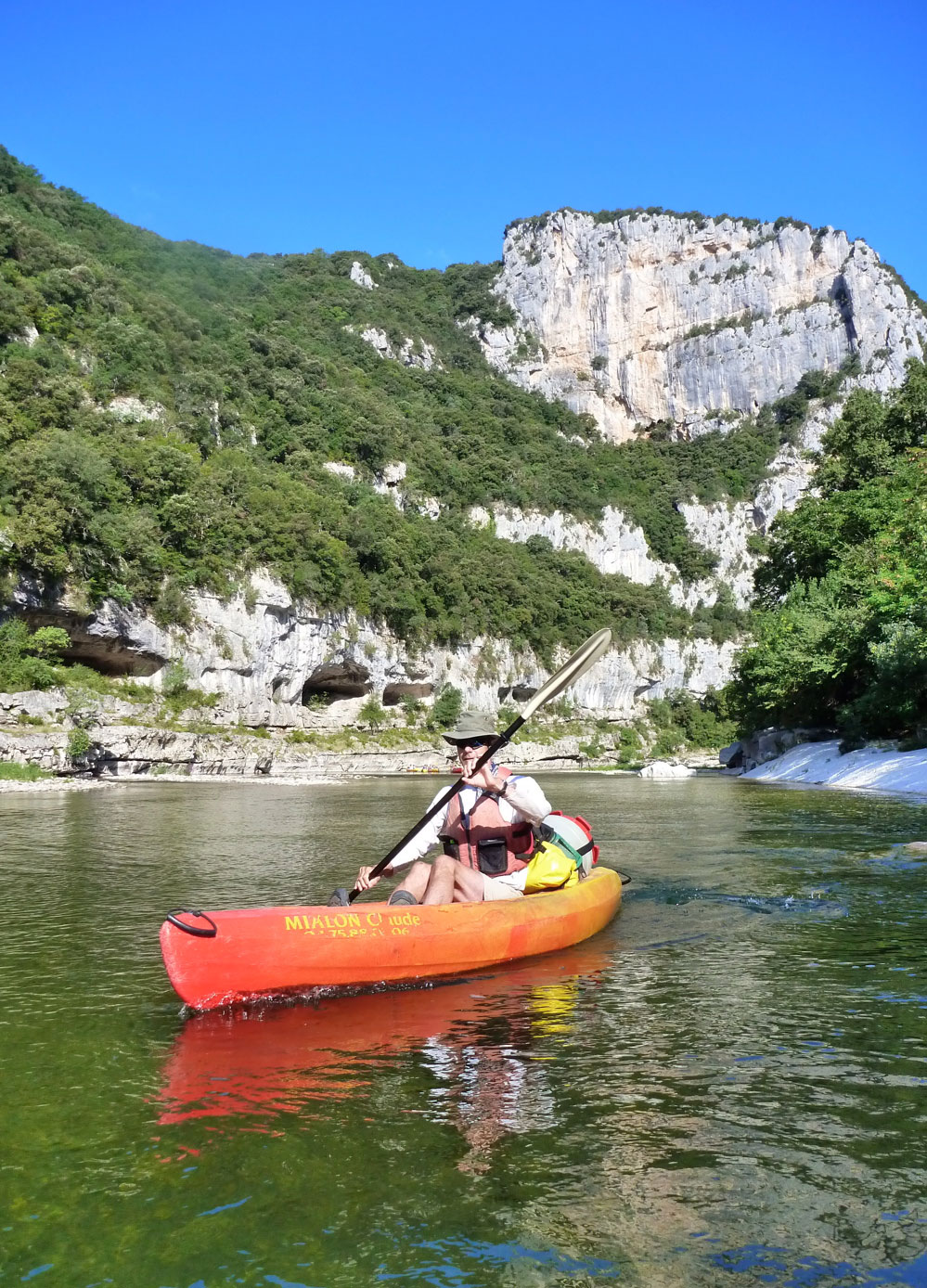
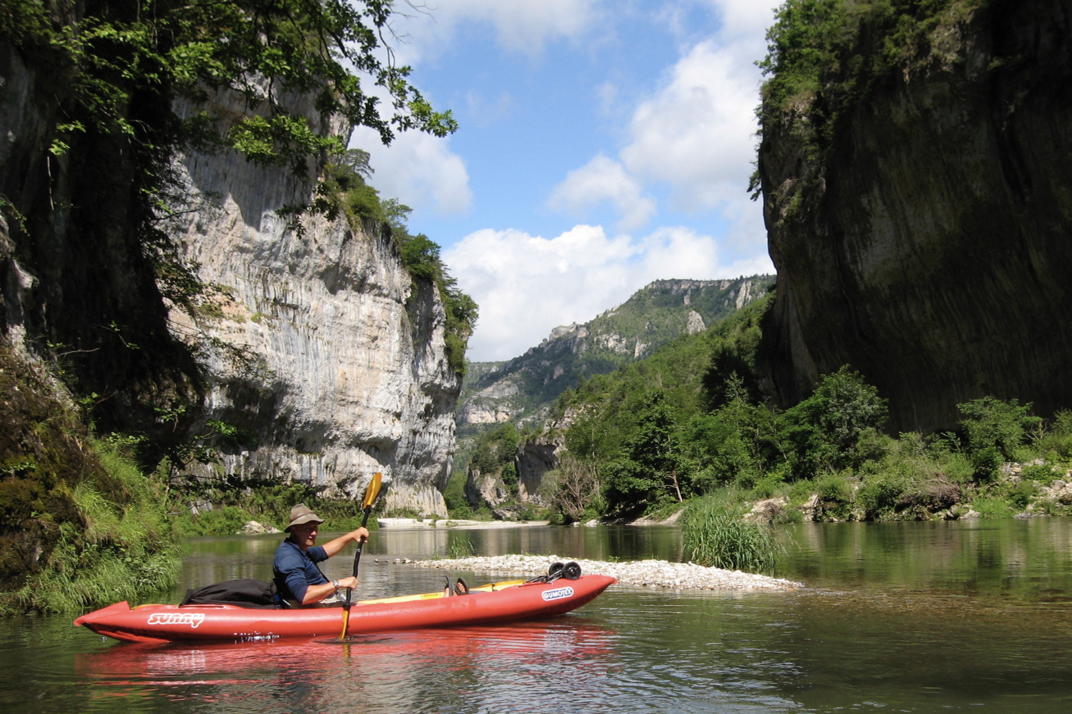
As a test example, I can concentrate on a river like the Tarn which I’ve done a couple of times both in a packraft and with IKs.
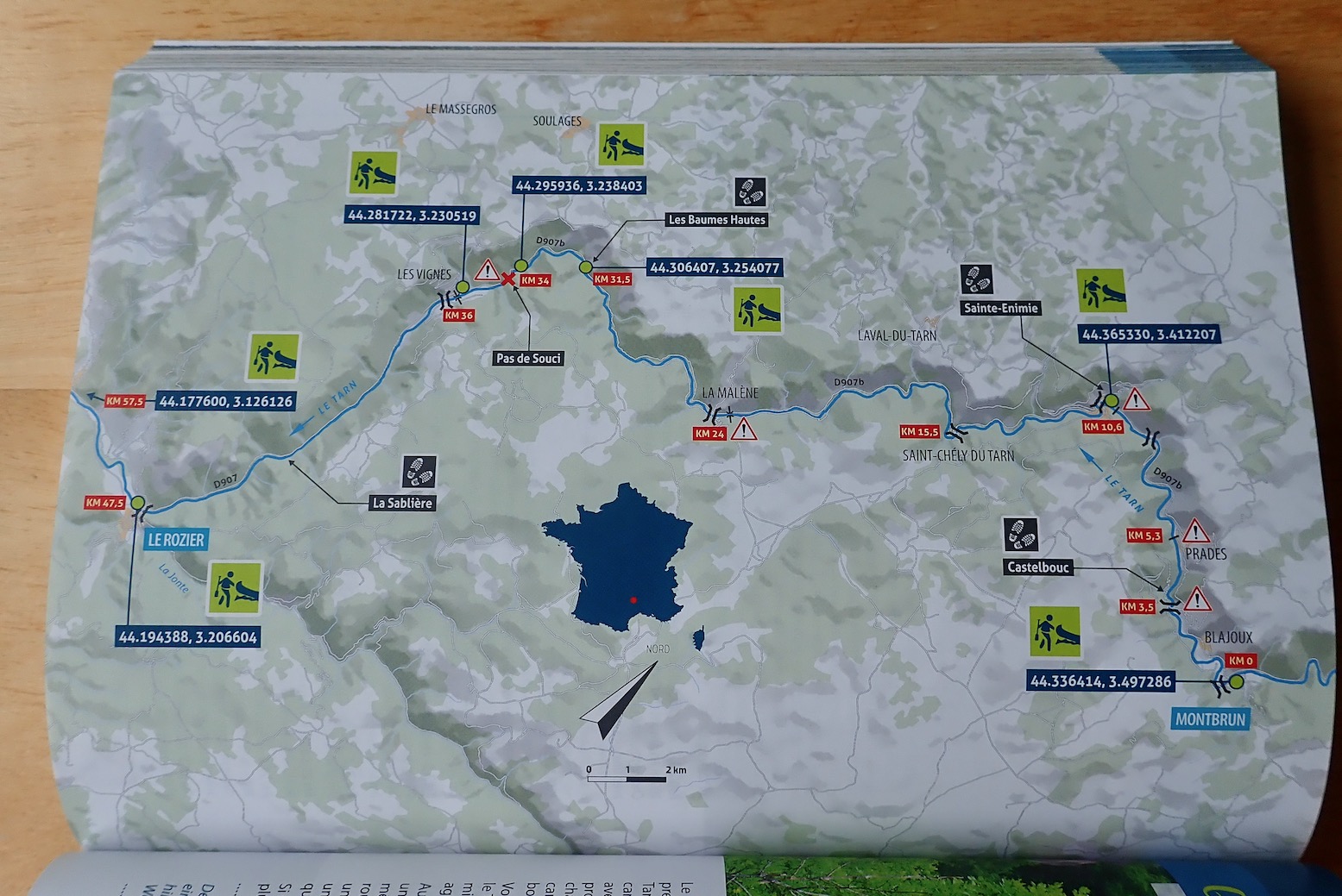

The Tarn description focuses on the most popular 57km section from Montbrun to Le Rozier. I have to say I made that 47km measured off Google Maps on my big Tarn map which covers the full 84km run from Florac, 18km upstream from Montbrun, to Millau, 19km after Le Rozier, Using public transport, I found both Florac and Millau better choices to start and end a Tarn packboat paddle. Anyway…

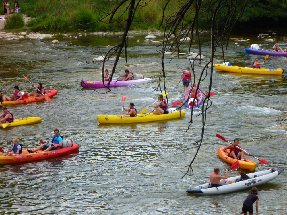
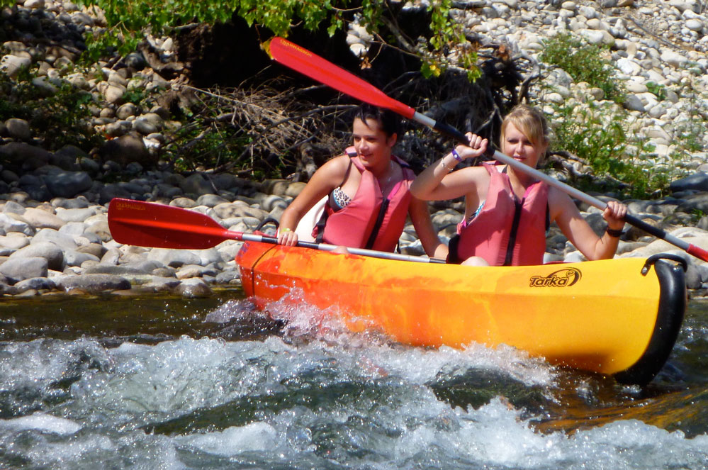
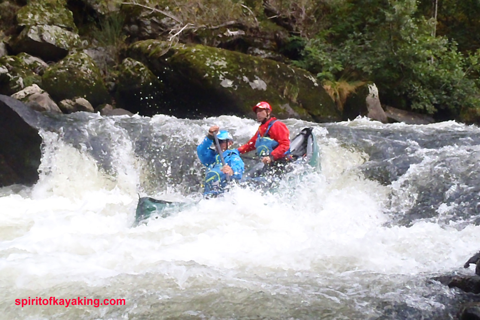
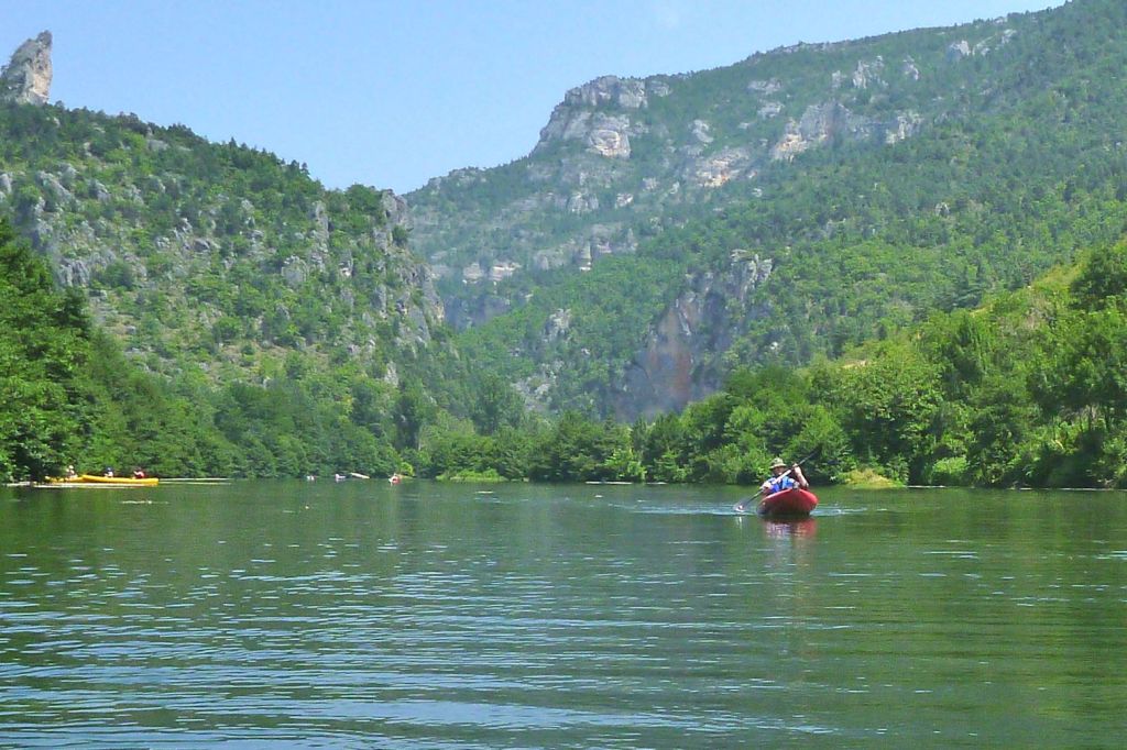
The first thing they advise is avoid the peak holiday period when the Tarn can become a logjam of hardshell rentals and yelping kids (left; actually the Ardeche below a busy campsite). While I’d certainly avoid the Tarn (and indeed France) in August, as a foreigner I found the occasional hullabaloo in July all part of the fun if you just paddle through it. Packed-out campsites along the stage described will be as bad as it gets. And they are packed out.
You then get a river summary: best time of year; regulations (if any); water levels with min, max and ideal levels, plus a QR code going direct to vigicrues – a good use of this idea; the best type of boat; environmental protection (if any); wilderness and tranquility; off-river pedestrian excursions, and where to sleep, but with only a selection of campsites including websites and a phone number. These could have been much more usefully added to each route’s map.
Selected put-ins/take outs have more QRs linked to waypoints which are also printed in old-style DMS (44° 56′ 15.5″ N…), followed by the much less error-prone decimal-degrees (DD: 44.9376297, 2.321622…) format. Google still uses both but the sooner we all get used to simpler DD the better.

Next is the main route description: KM0, KM22.7 and so on. ‘En aval‘ was a new expression on me: ‘downstream’. If your French is a bit ropey – or cordée – it would be worth translating page images in the planning stage, as suggested above, so you don’t find yourself in l’eau chaud. Doing so you’ll come to learn handy expressions like en aval and so on.

The book goes on like this, river after river, with enough photos to help you identify what looks appealing. It celebrates a newly opened passage of the Allier from Naussac all the way to Brioude (114km), though you may want to miss the initial 22km of “no less than 55 distinct rapids [up to Class 4]” which end at Chapeauroux.

Coming up the train line from from Brioude, it was from Chapeauroux one June that I blundered rather naively down the Allier in my early Sunny days, after having found the Dordogne a bit of a doddle the previous year.
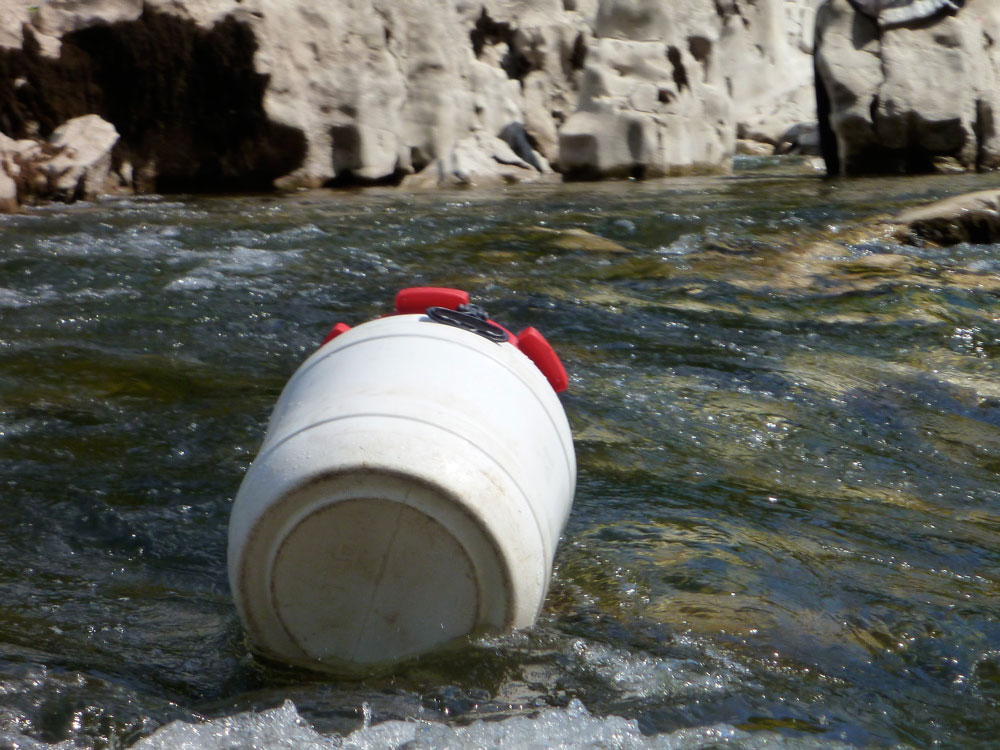
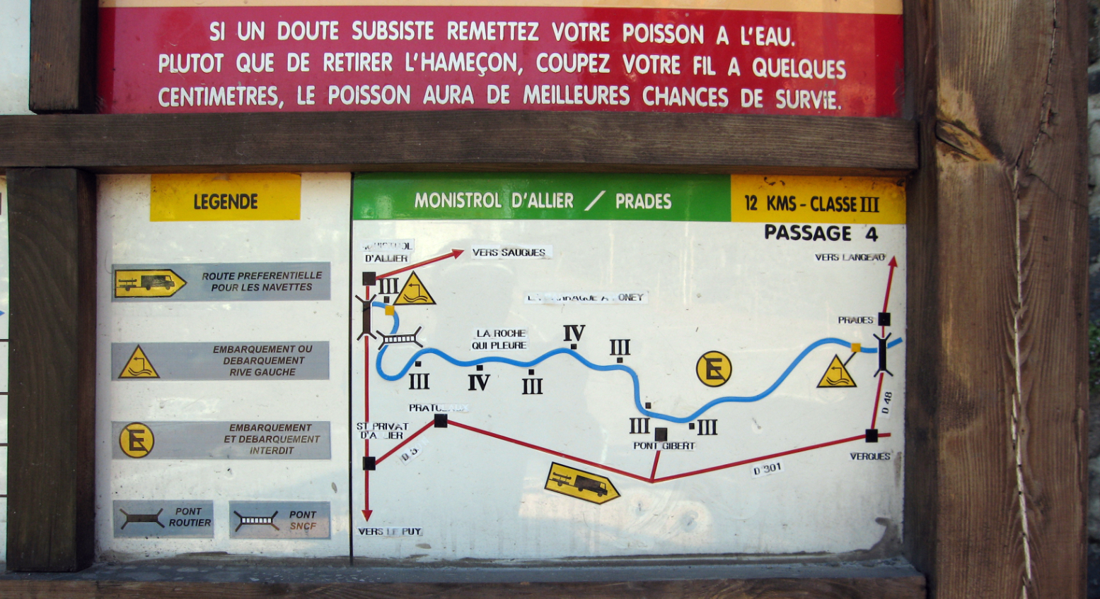
As mentioned elsewhere, a dam up from Monistrol (30km below Chapeuroux) has by been rebuilt lowered to salmon-friendly levels so that the long taxi portage I had to do around the now non-existent reservoir from Alleyras is now just an awkward portage down the new dam face at Poutes. (At the back of the book is an article entitled: ‘Hydro-electricity; the least renewable of renewables’). For the 12km from Monistrol to Prades (above left) you’ll again want a deck or self-bailing boat, otherwise you’ll find yourself as I did, pulling over to pour the water out of your boat. From Prades it’s all a less fraught and as enjoyable two days to Brioude.
You can have a lot of fun with the English Rivers Publishing guidebook – in some ways I find the basic design and layout a bit less dense. But once you’ve seen it and done it all, Rivières Nature has many more paddling suggestions in the fabulous south of France.