see also
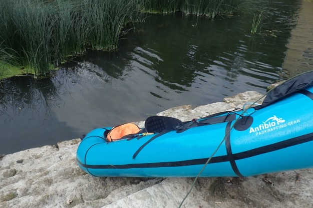
Anfibio Sigma TXL+ main page
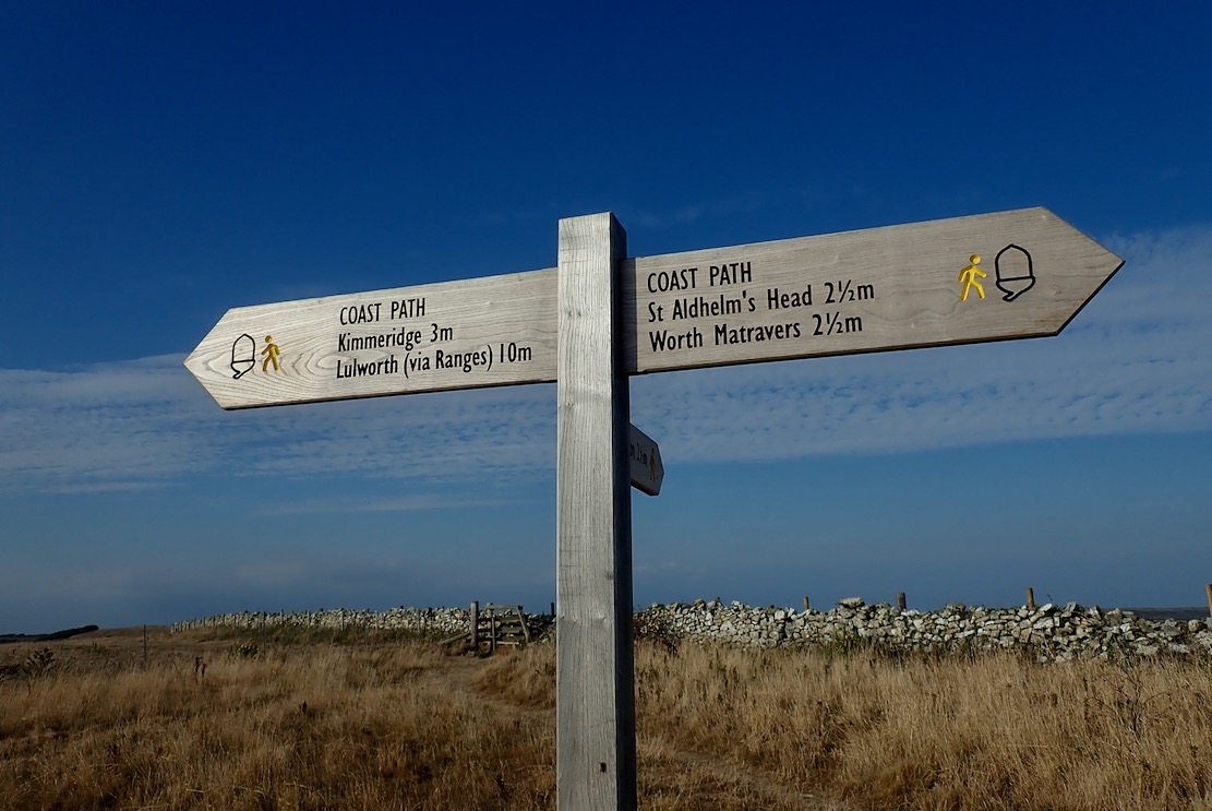
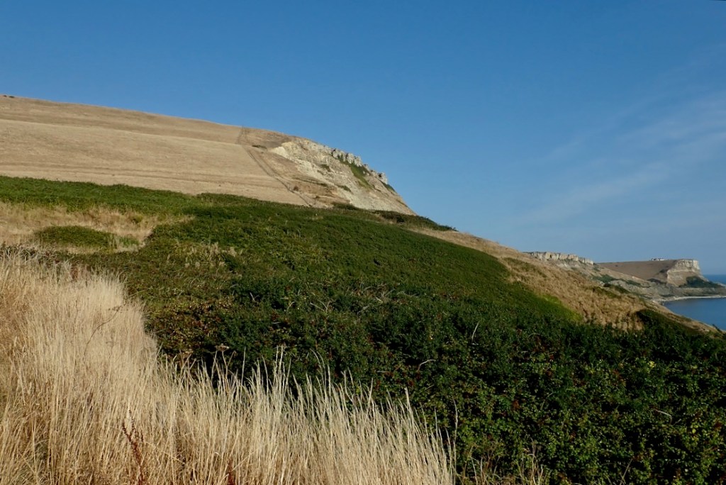
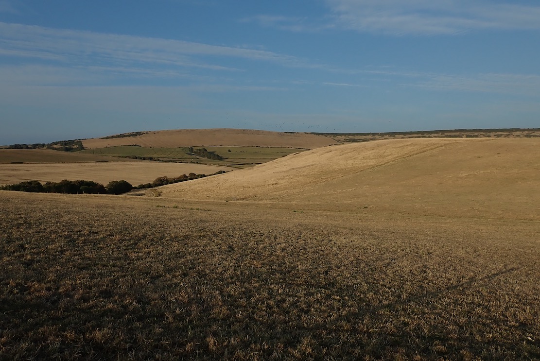
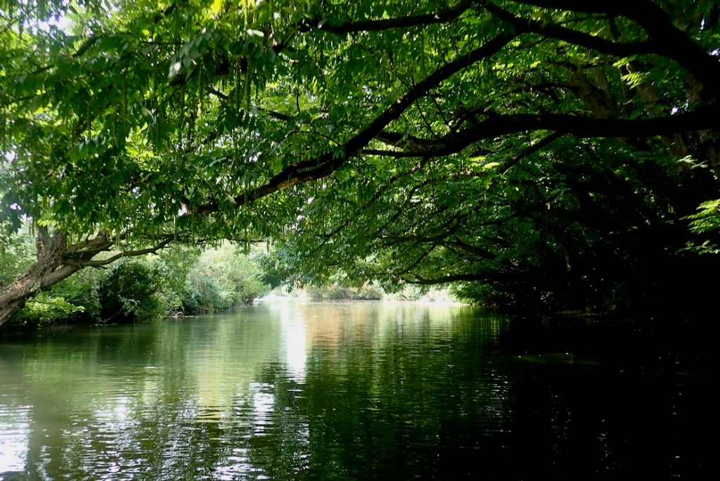
English South Coast Day Paddles
Kimmeridge Ledges with Zelgear Igla IK
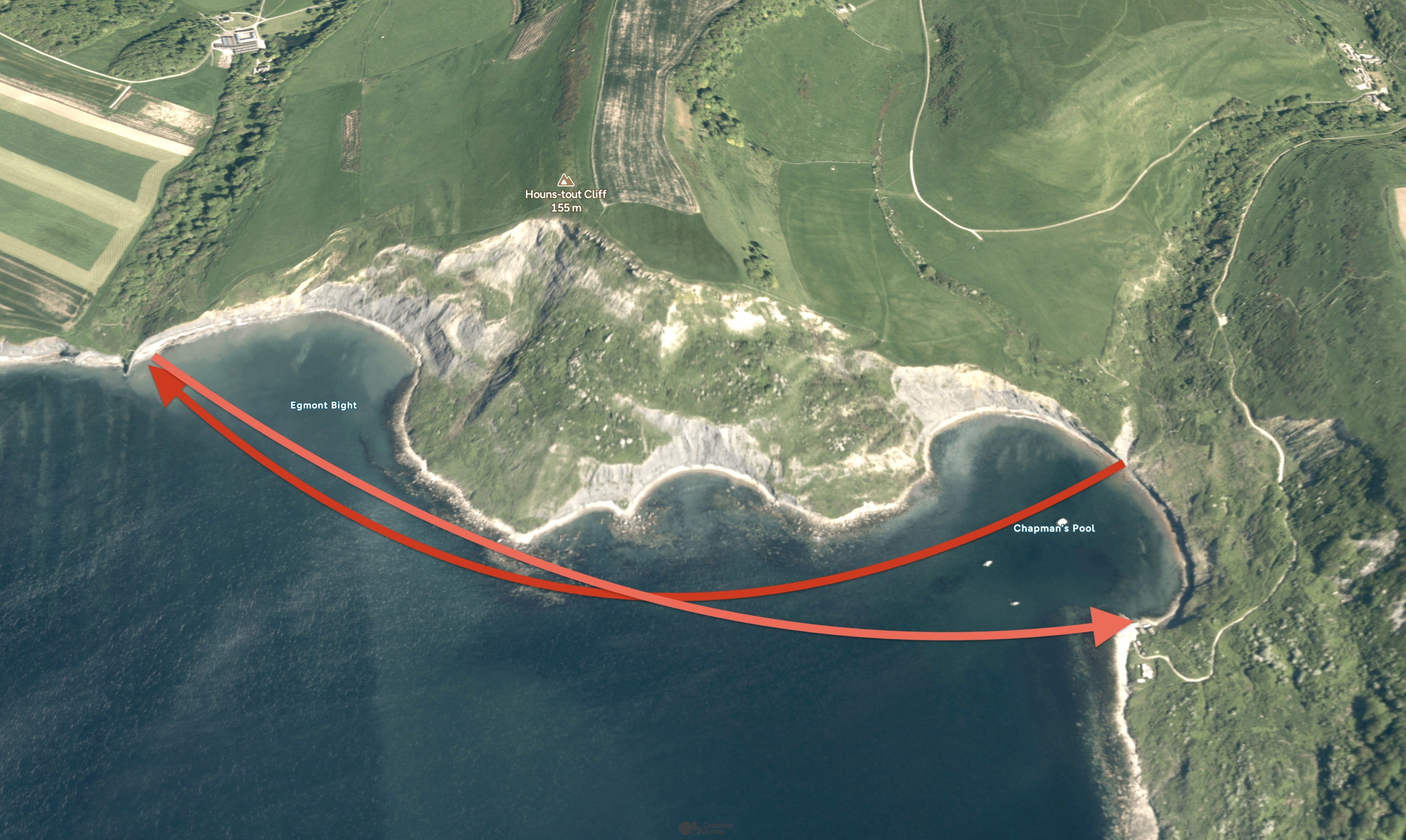
Packrafting Kimmeridge to Chapman’s Pool
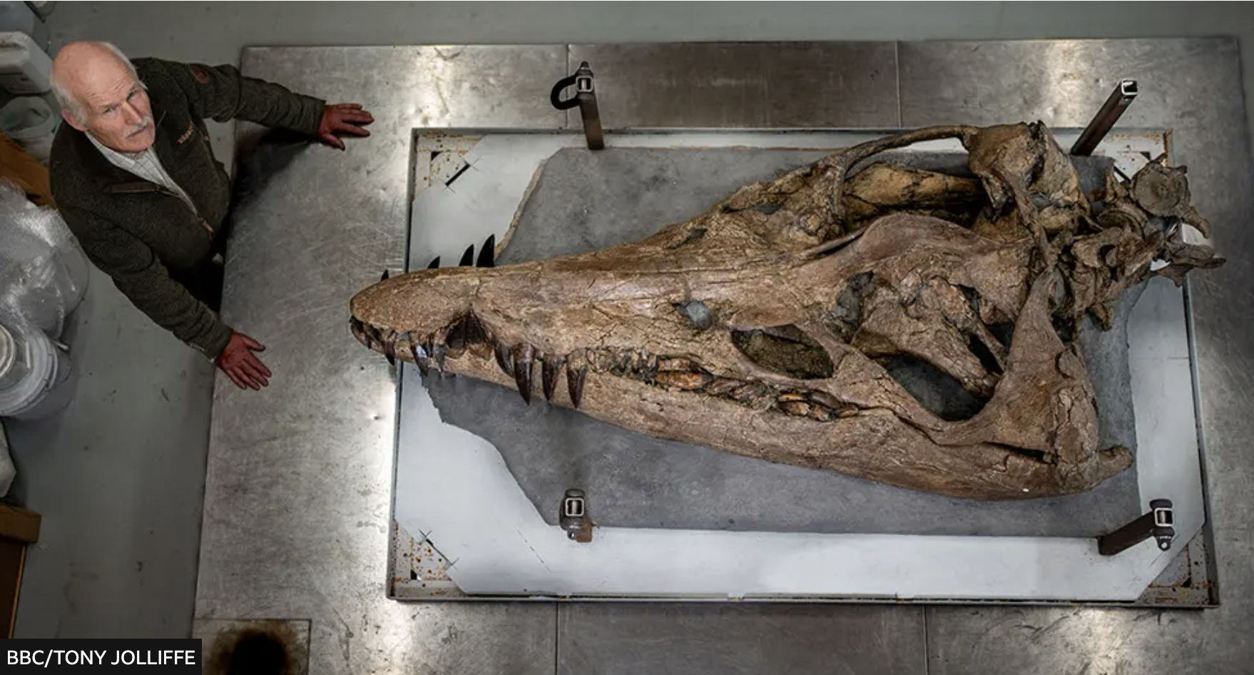
In Search of the Kimmeridge Pliosaur

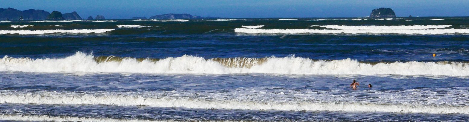
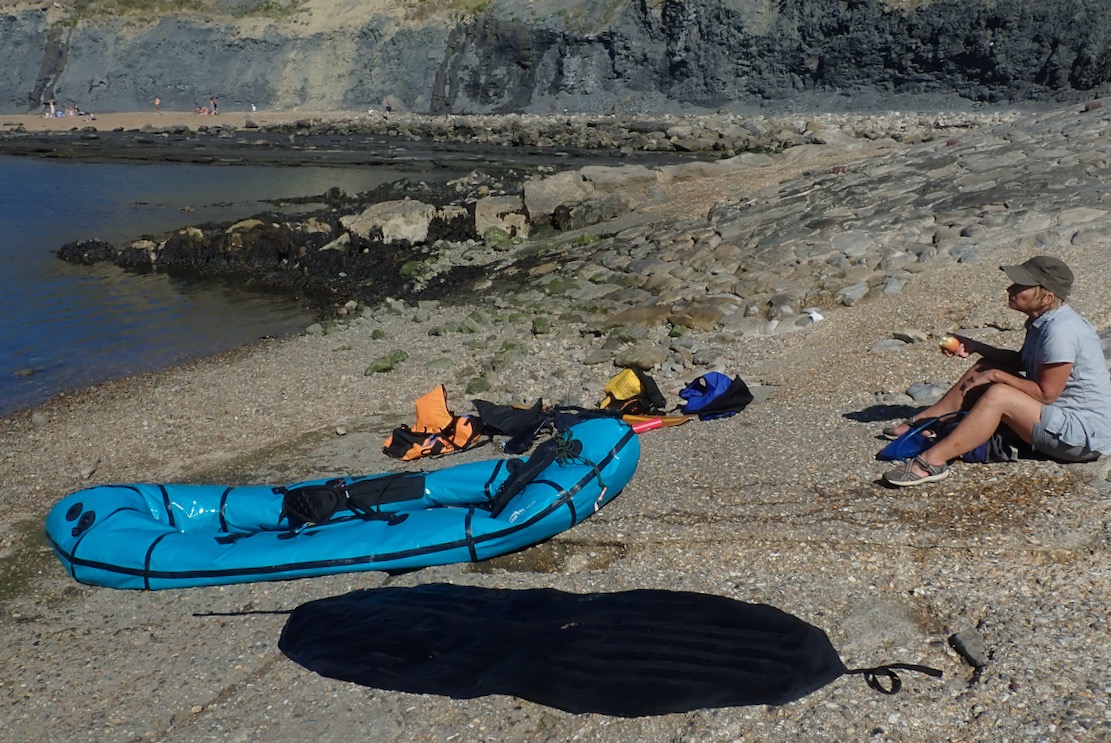
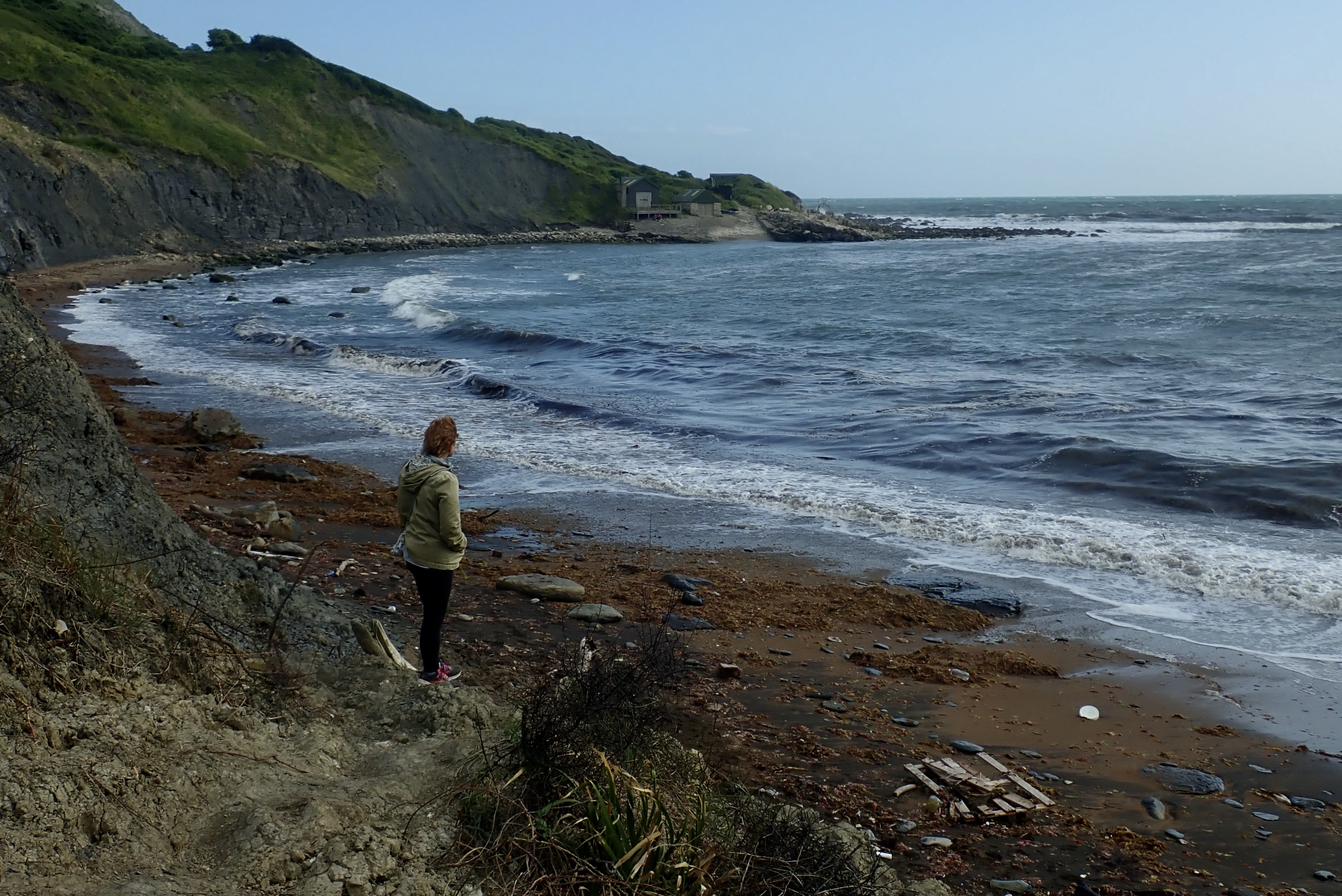
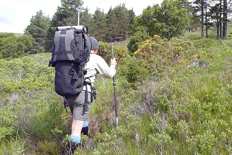
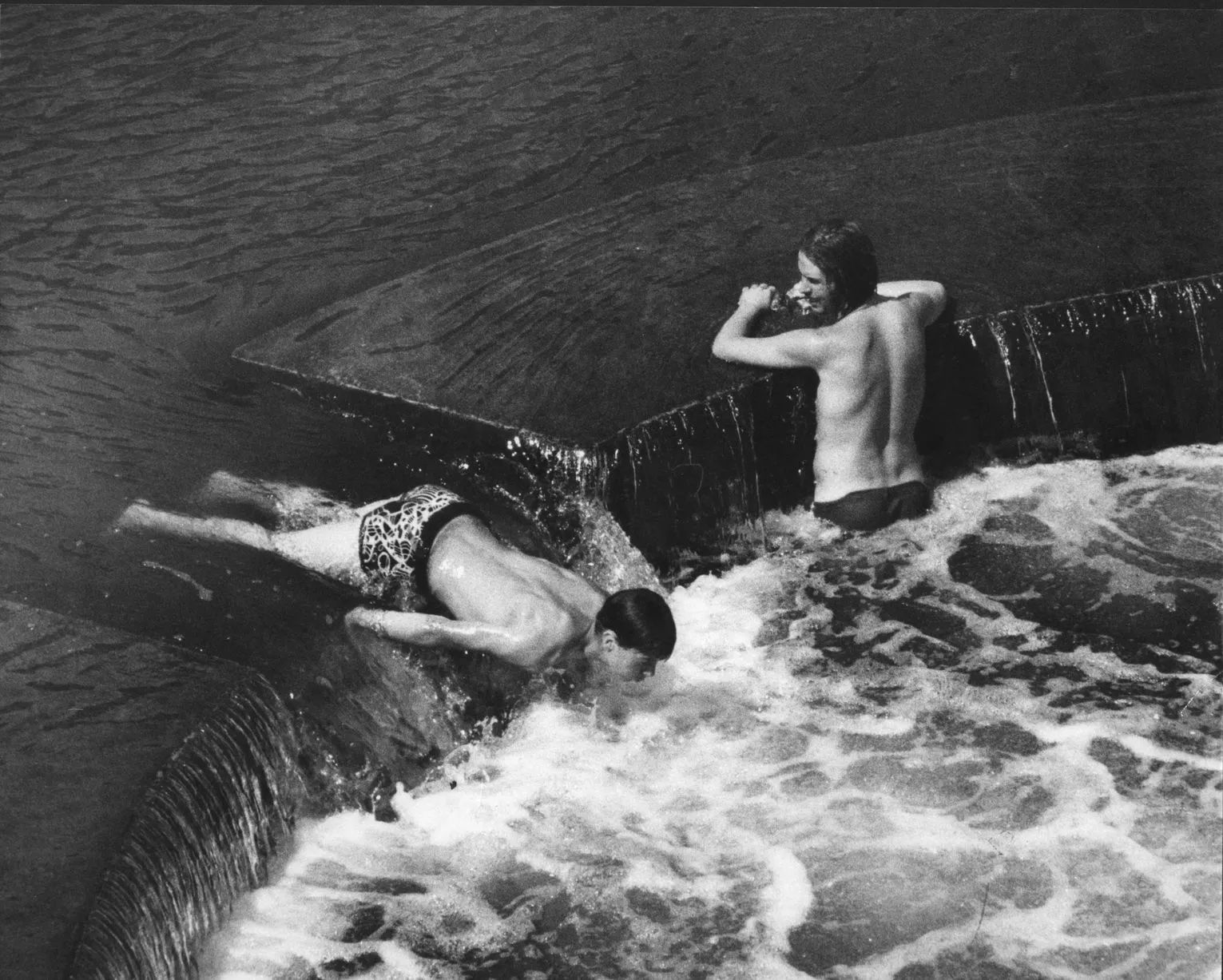
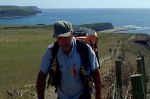
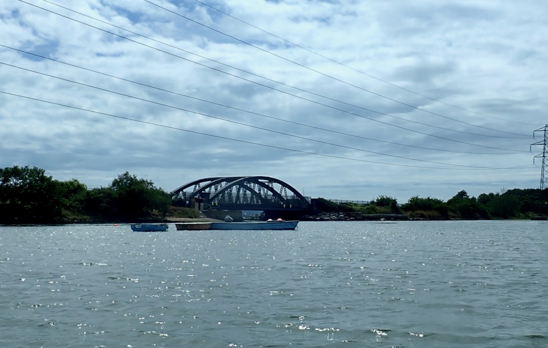
Unsatisfied with my bank holiday paddle-by, two days later we hiked back to Chapman’s and packrafted back round to Punta P. We left right on LW spring, but either my tide timings were wrong (don’t start me on that) or Chapman’s shore doesn’t dramatically transform, like Kimmeridge beach.
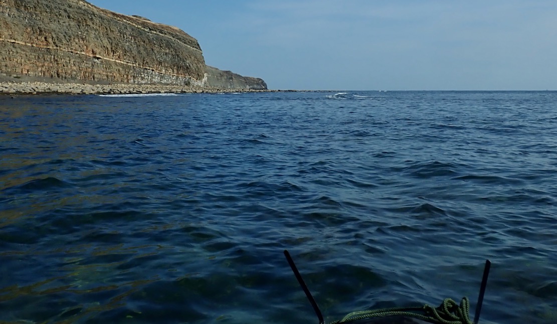
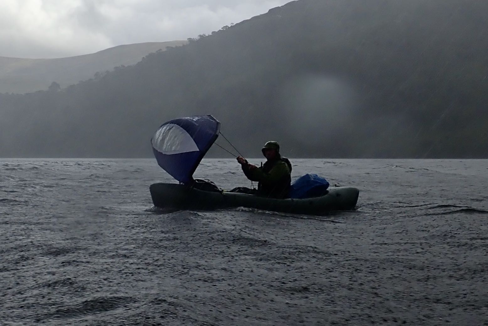
It was less than a mile’s paddle, but a strong SSE was blowing and once out of the Pool, it got choppy around Egmont Point, especially into the wind on the way back. It didn’t help that I had the TXL’s floor mat fitted for extra glide, but which I know doesn’t work well for a rear paddler: higher floor = less or no backrest = not relaxing.
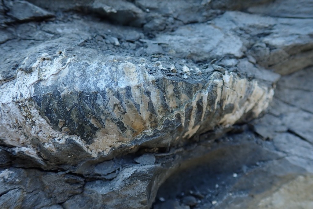
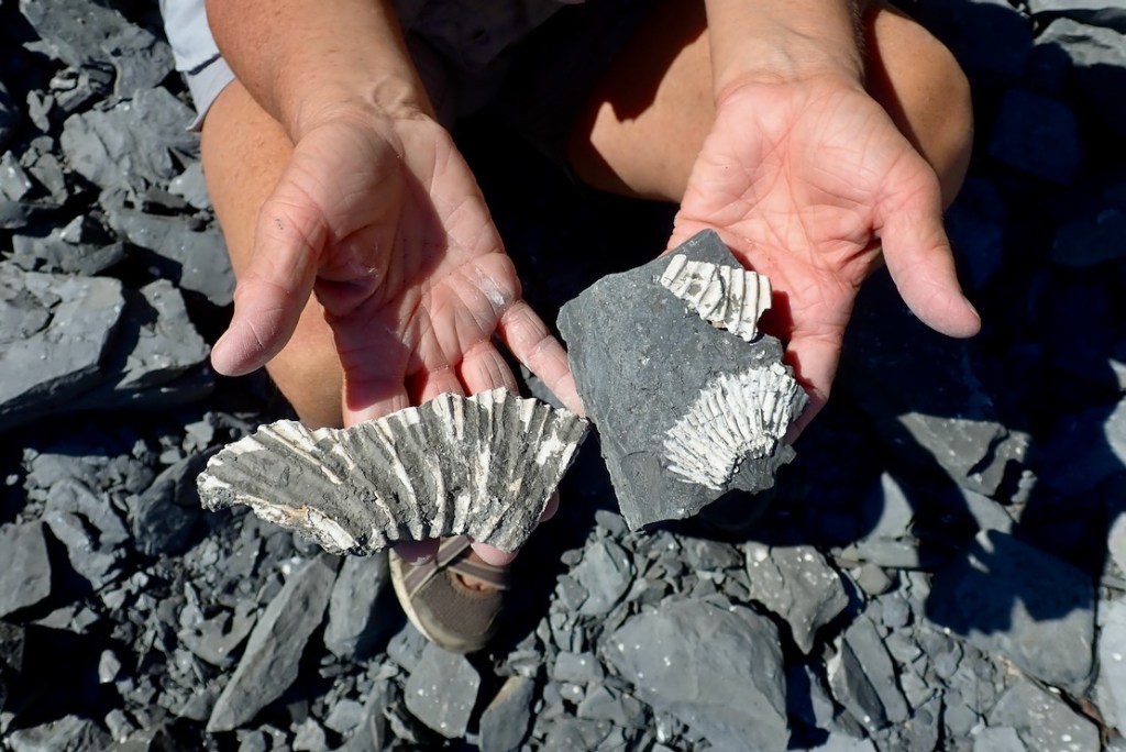
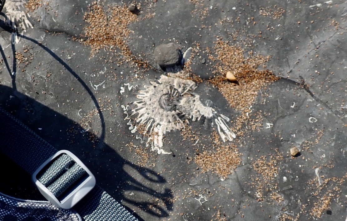
Once at the cliff face and with the boat resting in the shade of the Freshwater rock spur, the Mrs easily found fragments of ammonites in the shingle (why always ammonites?). We edged round the spur’s tidal shelf onto Pliosaur beach where a woman looked down from above and asked
‘Ow d’you get down there?’
‘We paddled.’
‘Uh..?’


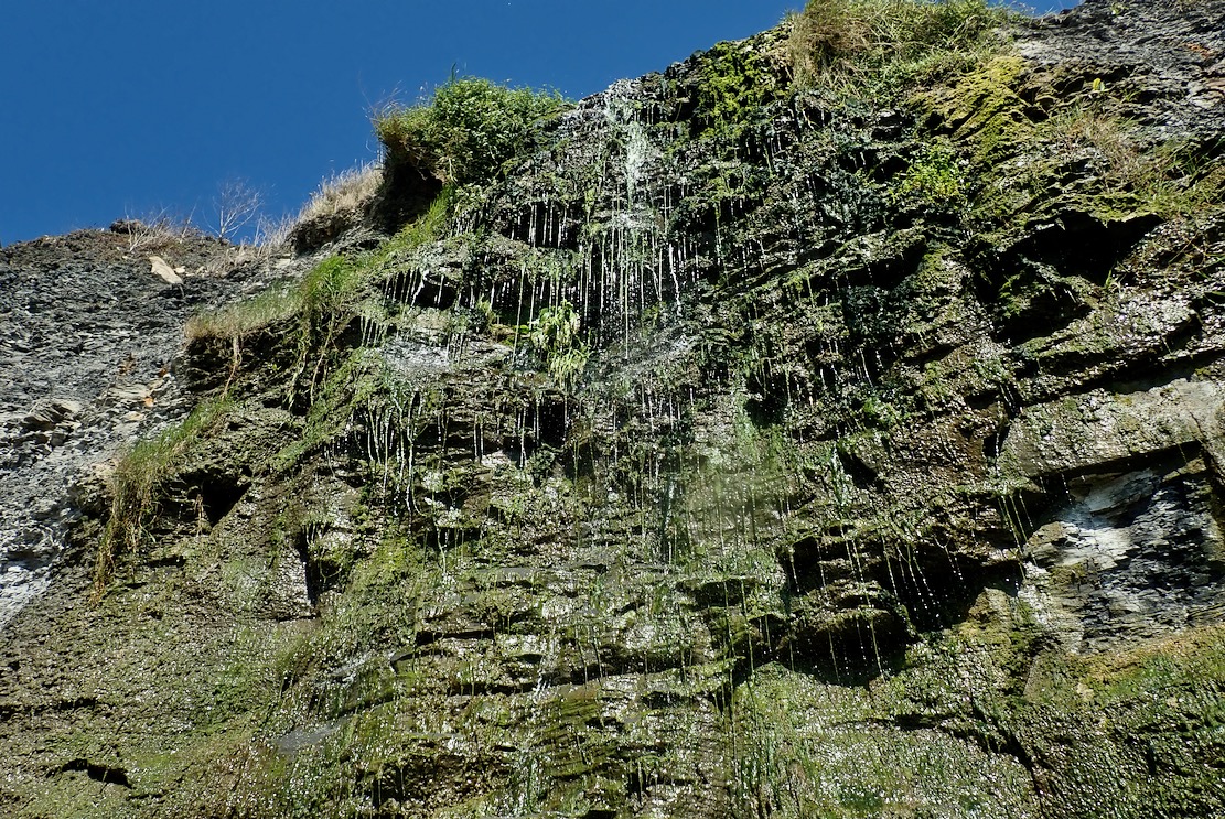
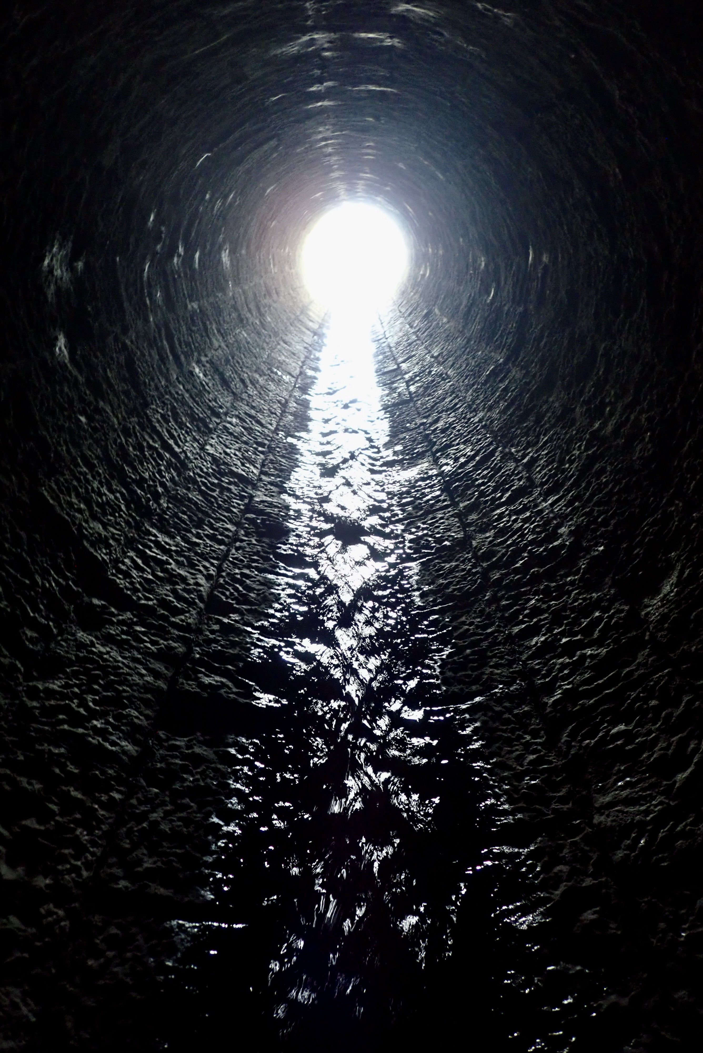
Despite an exceedingly dry spring and summer, a cascade was still dribbling down the cliff face through tendrils of moss, ferns and algae (below). It was the end of the South Gwyle, a short stream with a big catchment. Augmented by a couple of landscaped fish ponds up the valley at Encombe House (more below), ‘gwyle’ is an old Dorset word for a tree-lined stream.

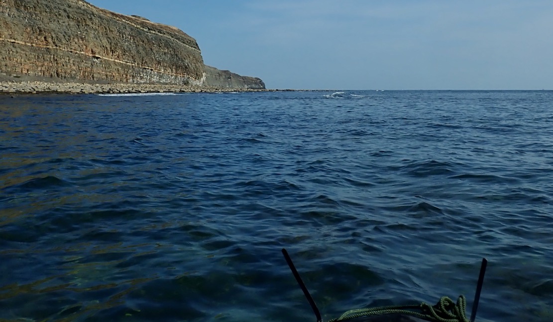
With nothing more to learn about the pliosaur, I was curious about the odd limestone wall up on the clifftop, seemingly bridging the stream. Clearly visible on aerial imagery, I’d noticed it walking back the other day to Kimmeridge, but was too hot and bothered to explore. Perhaps the ruin of an old mill?

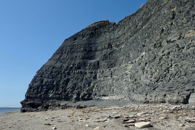
On the east (other) side of the dark shaly spur from which the cascade falls, the protruding end of the wall is being undermined, and now hangs over the cliff edge (below). Cracking under its own weight, one day it’ll collapse and fall to the beach. We parked the packraft here, in the shade of the spur. The face was full of fossils, but bits of grit were constantly dropping from above.
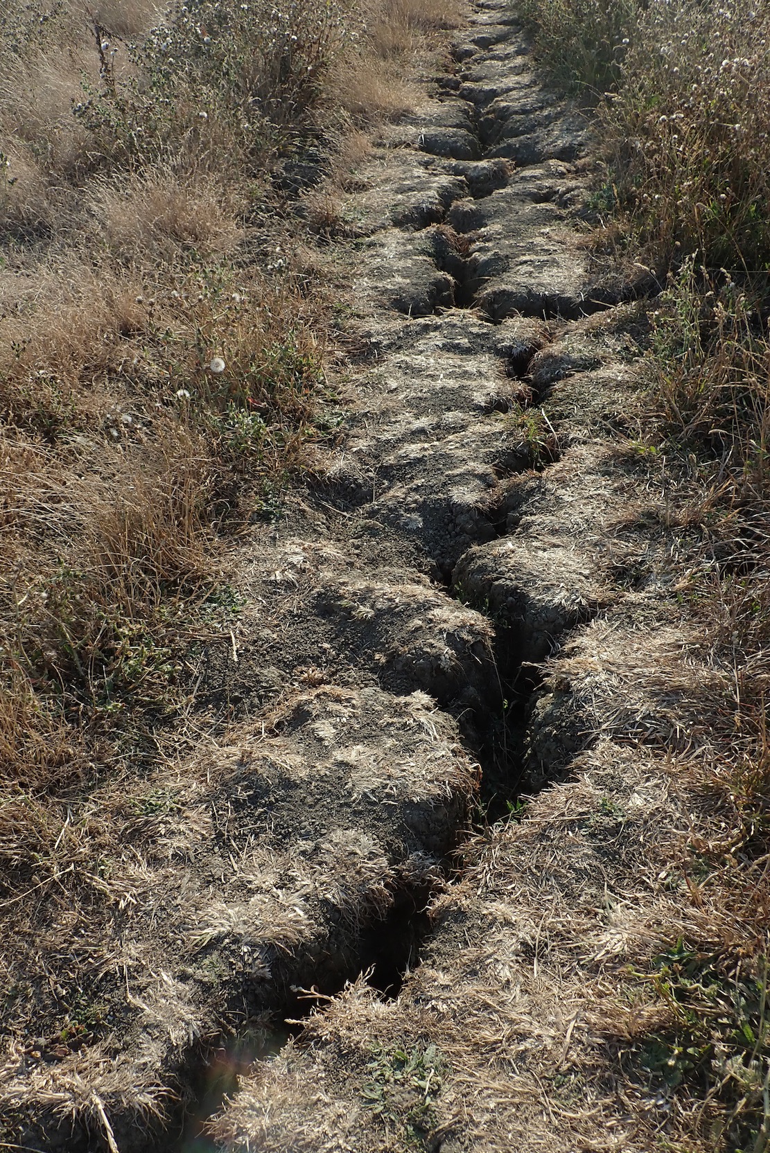
While here I had a look at the probable site of the landslide I’d seen on Saturday (left), but it must have looked more dramatic than it was on the beach, and these little slides must happen all the time.
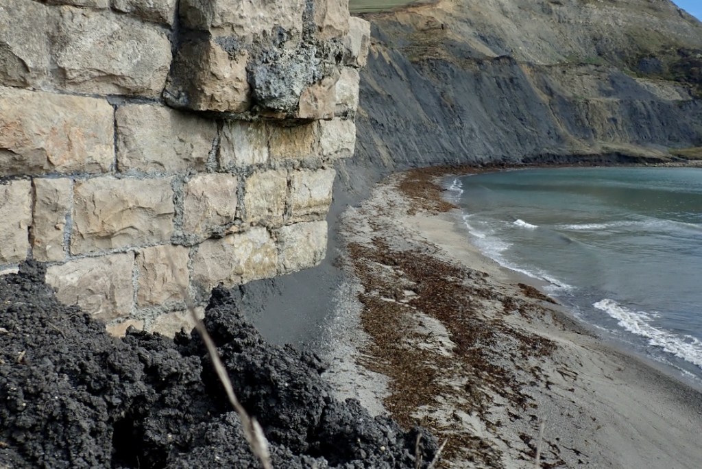

Overhanging east end of the wall from above and the beach, slowly being undermined by the receding cliff (2025)
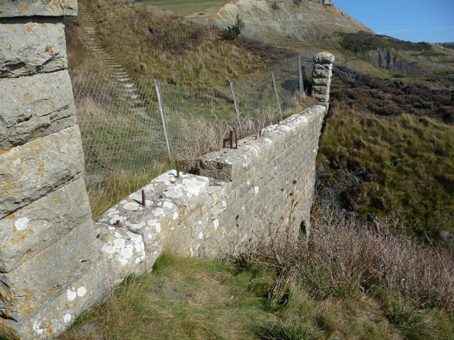

Photos by Phil Champion on Geograph from 2008. On the left note the ‘other’Ladies’ Steps’ (‘for ladies to climb easily to a path leading to the Carriage road‘) descending to the wall: the old footpath still part of the SWCP in the 1970s but now under thick brambles or thin air. The wire fence and all the pillars seen above have disappeared, bar one. It’s amazing it’s all lasted so long, given its exposure, but the east side of the spur has lost several feet in height and width in 17 years.


Back on the west side of the spur, ‘Freshwater Steps’ is a name I’ve seen on older maps (above) and, as expected, locally born geologist Ian West’s geological and historical page had some answers, as well as many fascinating old photos.
In fact ‘Freshwater’ seems to have been a name for this locality (left) which preceded the Steps. Perhaps a place a boat could pull in to top up the water barrels? I’ve noticed another ‘Freshwater’ on the south coast of Devon.


As far as I can unravel, the story goes that round 1840, the Freshwater Steps were built down to the beach by John Scott, the 2nd Lord Eldon whose Encombe estate enveloped a grand Georgian mansion (above) bought in 1807 by his grandfather, former Chancellor Lord Eldon (also John Scott; d. 1838; right). History has not judged the first Lord too fondly according to usually impartial Wikipedia, as well as this writer who puts him alongside the famously loathed Castlereagh of the late Regency era. Since those days the estate has grown greatly.


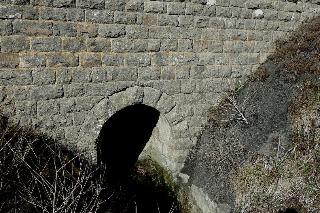


The surviving stone wall is actually the portal of a finely built, 60-metre, stone-lined culvert passing under the South West Coast Path (gallery above). Downstream, a cobbled canal once redirected the stream over the promontory’s tip (another image from 1965), though the 2004 Purbeck Revealed book (see below) seems to explain this as a natural feature, despite the stone-lined canal.
Freshwater and sea storms eroded the spur and the stream receded to its current position (left) – the same geological process which, decades later, saw a pliosaur snout drop to the shore with an unheard thud.
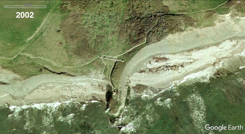


Google Earth historical imagery. In 2002 the coast path still took the old way close to the cliffs and through the scrub (as still shown of Google Maps today), the wall and canal appear intact with a pillar at each end of the wall and another (which has been moved but still survives in the grass) marking a gateway to the Steps whose lower have have collapsed to the beach. At least 2 metres of cliff have also slipped down from the eastern side of the spur. Another, more overgrown image from 2005; the canal wall remains intact and the waterfall tips off towards the end. Note the gully above the as-yet unfound pliosaur, it may have contributed to the erosion which eventually exposed the snout. By 2014 the SWCP had rerouted north, the western canal wall had collapsed, littering the beach below and putting the waterfall in its current position, although the upper Steps are still evident. The wall is collapsing on the east side. Current GE imagery appears to extend the east wall which suggests artificial enhancement, possibly AI?

Why all this work diverting the gwyle through a culvert and building the Steps? Perhaps, along with the estate’s fine gardens and numerous carriage roads (one cutting right across long subsided Houns Tout cliff to Chapman’s; left), it was all about impressing visitors with picturesque ‘follies’ along with the supposed health benefits of bathing in sea water (see pump house below) which had helped put nearby Weymouth on the map.
Purbeck Revealed (2004) by Ilay Cooper may have another explanation. Born in Swanage during WW2, the author describes larking about on the Encombe estate as a boy. According to his research, the second Lord was responding to water shortages on the estate with bold Victorian engineering, not engaging in late Regency frippery. The gwyle’s catchment was not so broad after all, necessitating the digging of long, stone-lined tunnels and laying pipes into adjacent valleys in search of springs. The Freshwater project may have been little more than a spin off while the builders and masons were in. Certainly Encombe sat right on top of lashing of Purbeck stone from which the house itself was originally built.
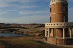
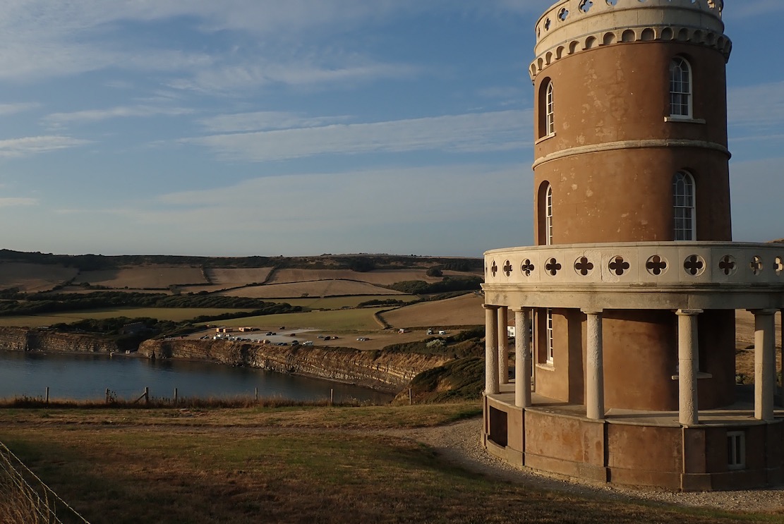
The Steps and Falls may have modestly been trying to outdo the 1831 Clavell Tower folly (right), three miles west along the SWCP on the adjacent Smedmore Estate. The Tower survived a little better than the Freshwater infrastructure, but a century on, it was a ruined, burned out shell. By 2007, in poor shape internally and fast becoming the ‘Leaning Tower of Purbeck’, a funding campaign finally succeeded in having it dismantled brick by brick and moved back from the cliff edge.
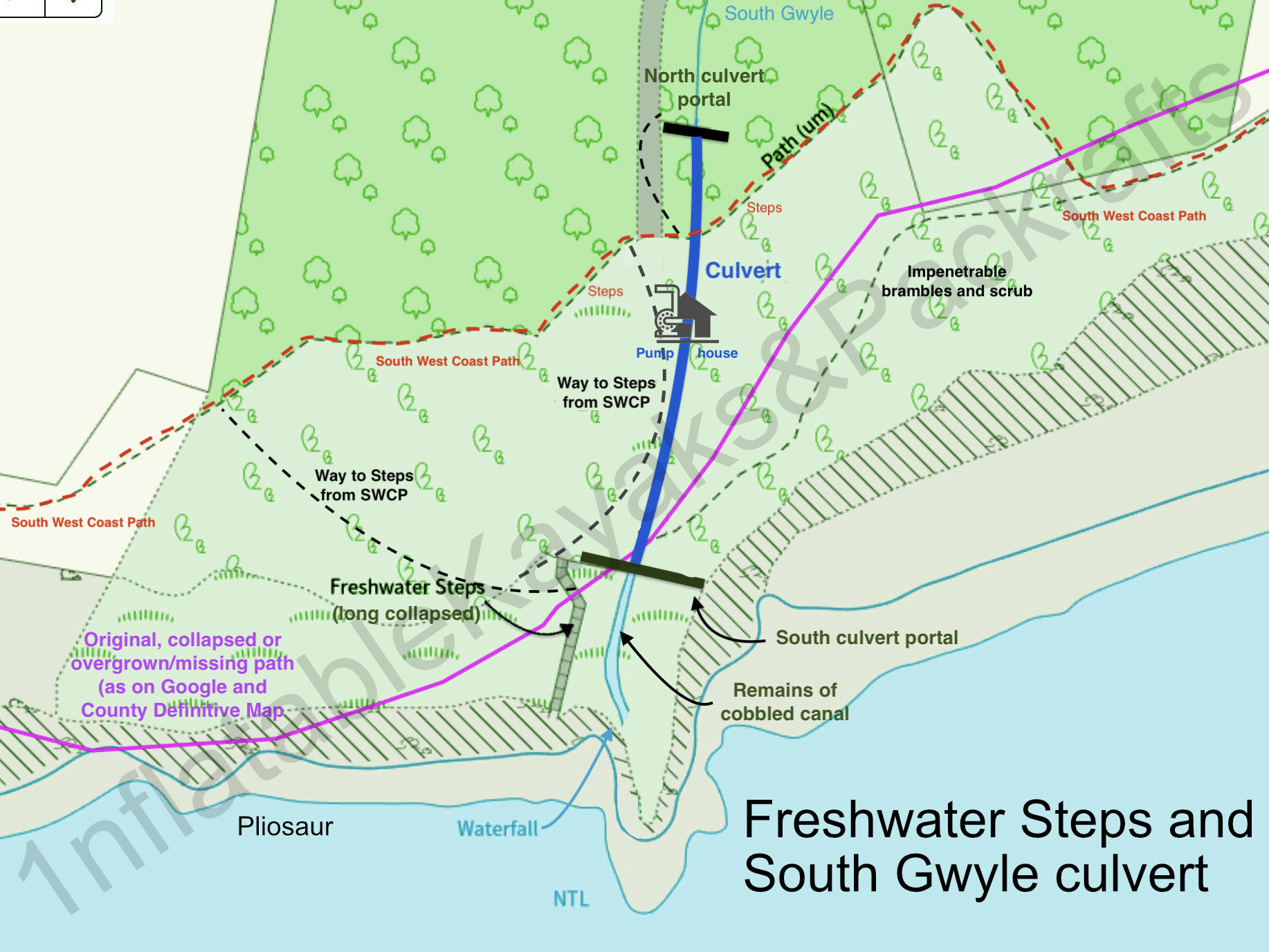


On another visit here, exploring the area just north of the wall, a friend noticed a rusted iron fence and overgrown steps (left) leading down to a domed chamber. Inside a heavily corroded crank and flywheel (above) looked like the ‘Hydraulic Ram‘ noted on late-1800s maps (below) and listed on Dorset Heritage. But the position doesn’t line up with old maps and I must admit, the device we saw doesn’t resemble any vintage ram pumps found online, each with their distinctive bulbous ‘accumulator’ chamber. With the hand wheel and crank, this looked more like a means to vertically open a sluice valve. Maybe there’s more elsewhere or below the stone floor.
At Encombe, old sources say the pump was used secondarily to move sea water up to the house where people could bathe in privacy, not on the beach like the hoi polloi. It may explain the small side shaft I noticed passing through the culvert probably directly under the pump house – an outlet for the sluice or the ram’s ‘waste valve’ perhaps? Assuming sea water bathing didn’t go on round the clock at Encombe, the chamber we found may have been a valve to get the hydraulic ram pumping.
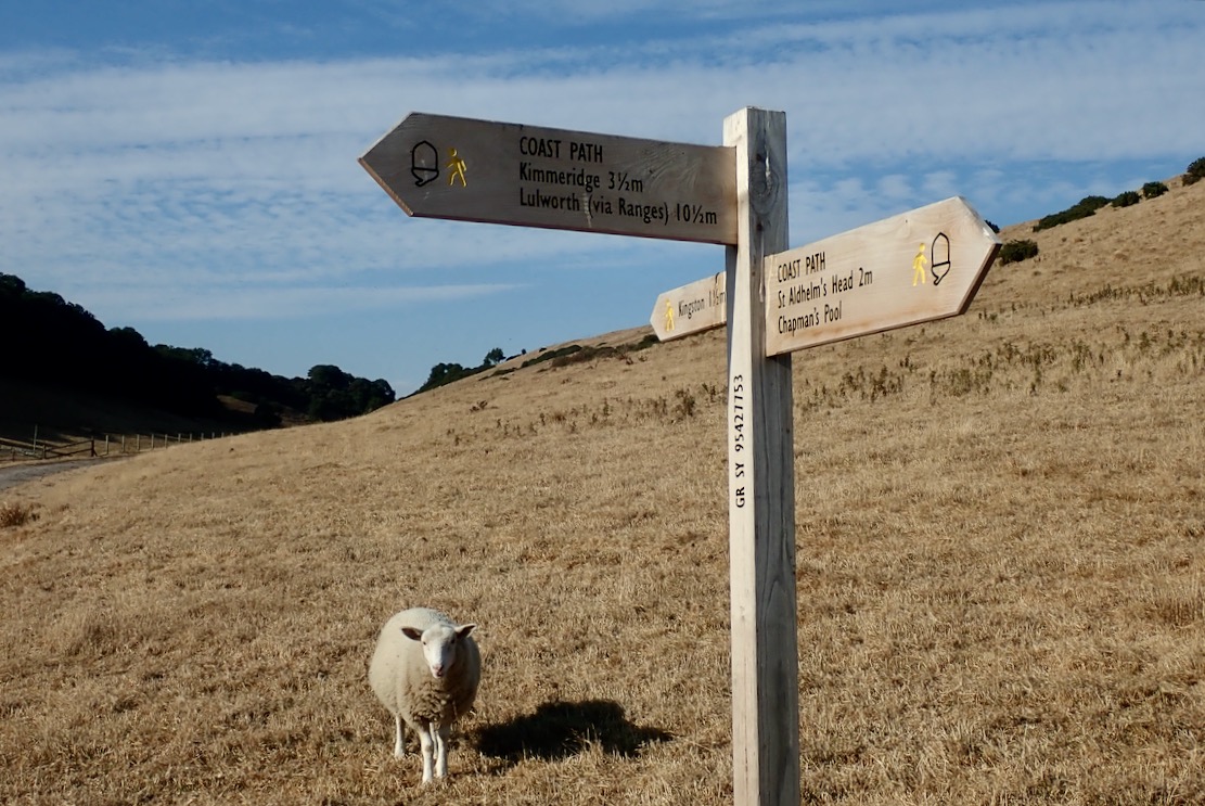
The pump house was also alongside a shorter trail to the SWCP, joining it just before the steps climb westwards.

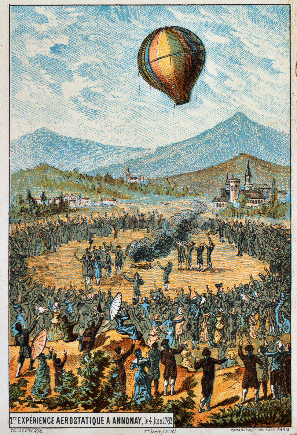
A ‘hydram’ is an ingenious ‘uphill water pump’ invented by one of the Mongolfier brothers in 1796, a decade or more after their famous hot air balloon flight (left) also turned the concept of gravity upside down. The pump uses the free energy of a constant water source and the ‘water hammer’ effect (the bang when you shut off a tap quickly) feeding pipes fitted with a pair of one-way valves. Once balanced, it slowly but surely pumps water way above the inlet source with a little wastage from the first valve – see vid below.
Requiring no external power and little maintenance, hydraulic rams and similar devices were common in the pre-electric 19th century, and have been rediscovered today by off-griders and remote villages in the developing world.
There’s a good account extracted from local born Bob Dorey’s (1892-1995) memoir – Odds & Ends from My Century (1992) – on the Kingston history page. Here, the old village pub was renamed the Scott’s Arms after WW2. OS maps also show ‘Eldon’s Seat’ half a mile to the northwest of the Steps, the first Eldon’s private viewpoint.
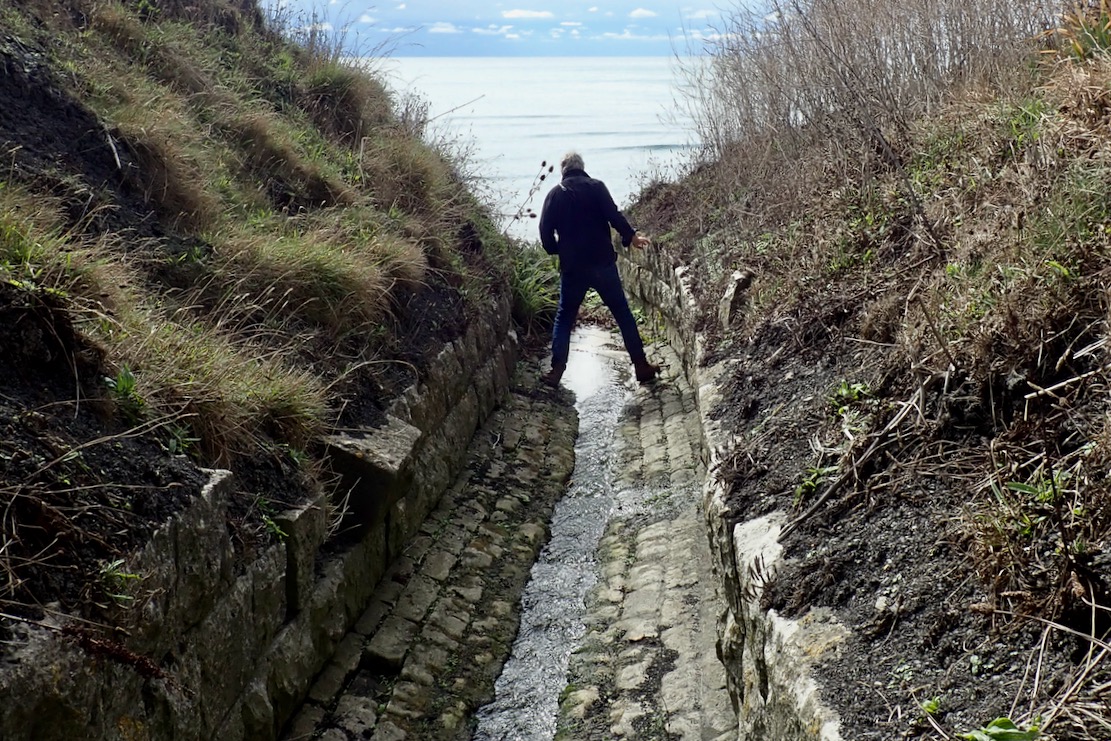
Storms raged and the soft shale crumbled, slowly taking the Steps, and parts of the wall and channel with them. The falls broke through to spill down the mossy cliff some time after 2005, and around 1978 (according to Purbeck Revealed) the Steps, long undercut, collapsed entirely, never to be trod again.


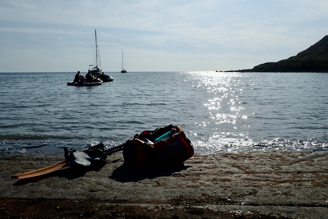
Deary me, we have drifted a long way from packrafting and adventures in packboats. We set off back to Chapman’s, the TXL riding over bigger waves like a dead pliosaur. The Mrs was not at ease and next day Poole Coastguard reported being swamped with incidents.
I was also surprised how sore the shoulders were next day after just 2.5 kms there and back in the wind and waves, compared to Saturday’s calm 6-kilo ride over from Kimmeridge. Seems it was more effort than it felt, like a short but rough MTB ride vs a longer road ride. Repeating that crossing today in a packraft would’ve been utterly exhausting if not an outright Bad Idea. But that’s why we wait and wait for the 10% chance of <10mph tailwinds with favourable tides.


