The plan was simple. Put the IK in at Limehouse Basin where I finished up last week, and take an easy canal-paddle up around what are collectively known as the Bow Back Rivers threading through the Olympic Park, then portage over Three Mills Lock onto what becomes Bow Creek. Here, we’d ride its tight meanders on an ebbing tide down to the Thames at Trinity Wharf. Hard left and, keeping on the north bank (naughty), for what looks like an easy beach take-out at Lyle Park, a mile downstream.
Another possible east London paddle route.
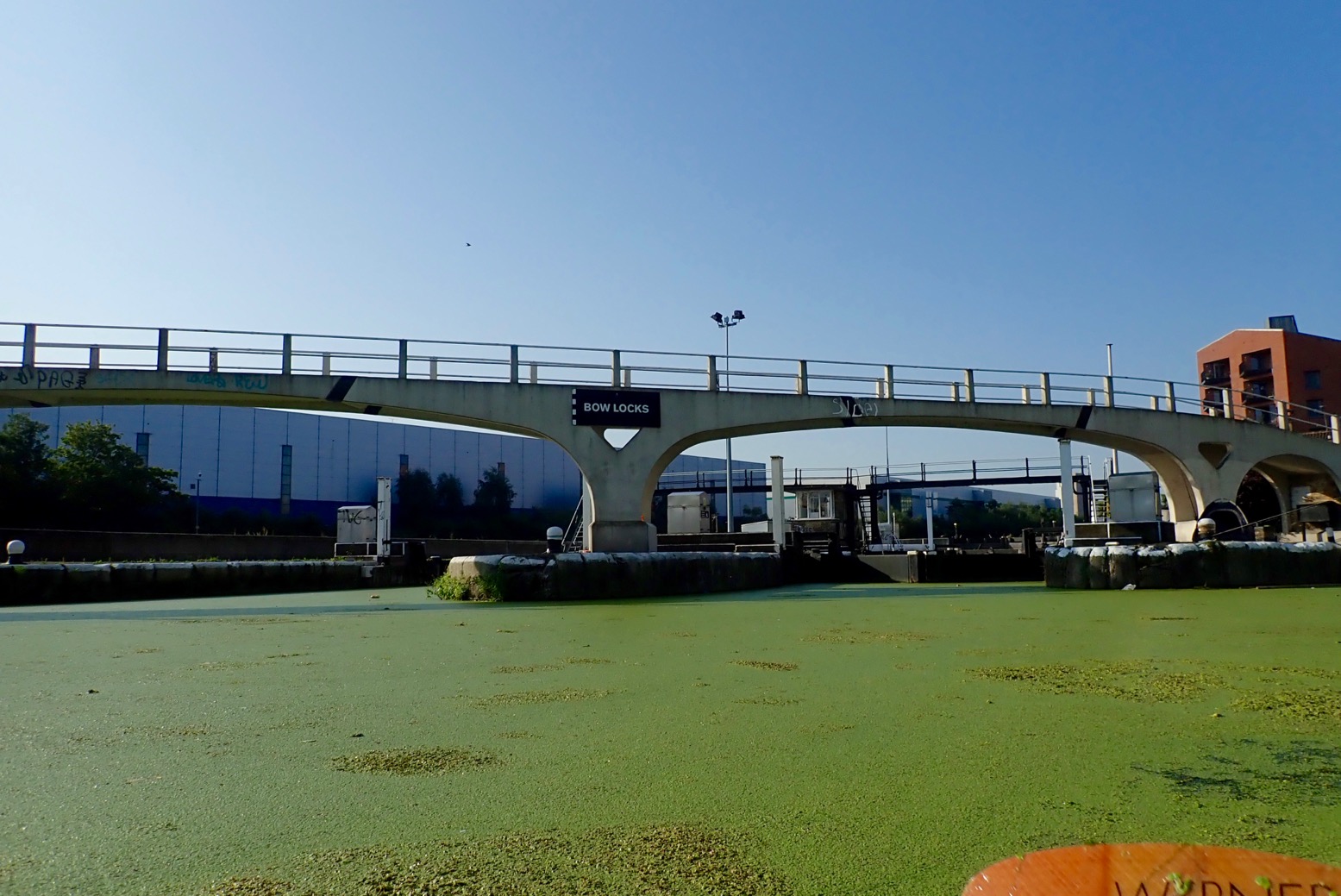
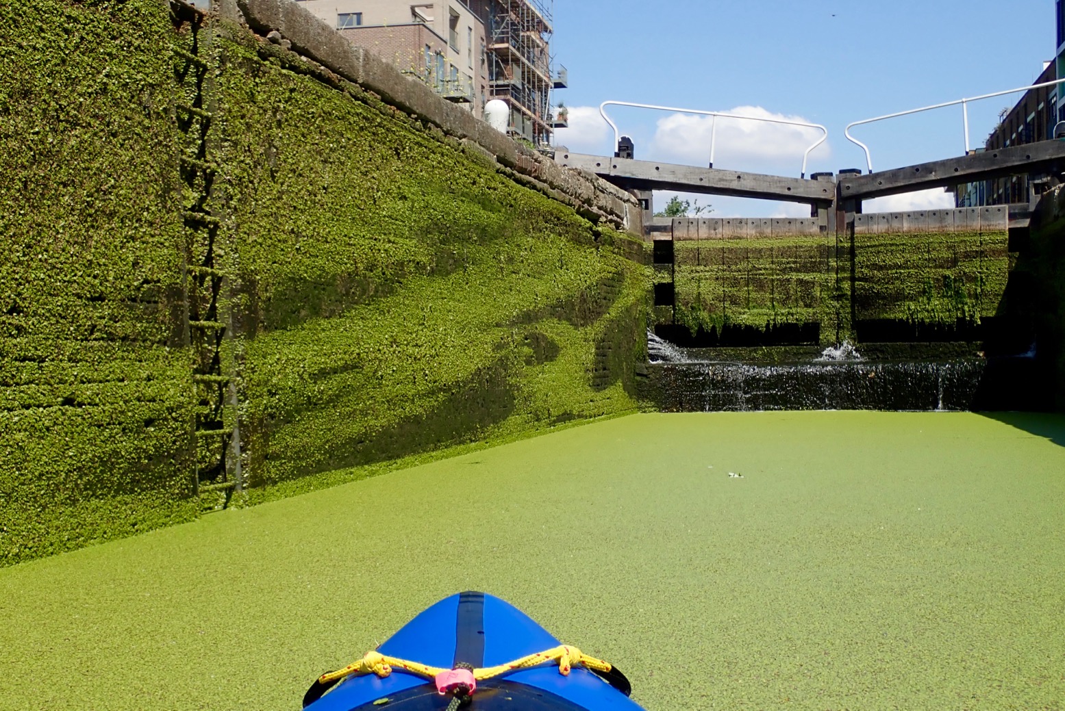
The whole 8-mile run included just two locks to portage. Compare that to 13 locks and two closed tunnels for the similarly long Regents Canal I pack’ed last week. Things didn’t get off to a great start, but next day we were back and on the water before 8am. We set off up arrow-straight Limehouse Cut. Dating from 1770, it’s London’s oldest canal, built to evade the Lee River’s final twisting meanders on Bow Creek which we hoped to paddle on the wat back. (Very detailed history of this river). Two miles on, a thick mat of spongey duckweed backed up around Bow Creek Tidal Locks. Tendrils of weed caught on the paddles and flicked all over the boat. Bow Creek ebbs and flows right alongside the near-stagnant Limehouse Cut/Lee Navigation, but this was surely once a single river system. The River Lee’s (or Lea) source is in the hazy Chilterns of north Luton, and reaches the Thames via Bow Creek, 42 miles later. The Lee River Navigation is paddlable from at least Hereford (Mile 27.5). In England, a ‘navigation’ in fluvial terms means a public right of way for all craft, with a precedent going back centuries. Not all rivers in England are a navigation. This whole underused wasteland between Strafford and Hackney was massively redeveloped for the 2012 Olympics, including the two new tidal locks mentioned. Before that, on the spring tide you could paddle up Bow Creek all the way to Hackney Marshes for some fish and chips. But while great for towpath activities, it seems the developers behind the refurbished network of waterways and new bridges didn’t consider paddleboat access either side of the locks. Odd, seeing as it was the Oh Lympics and all.
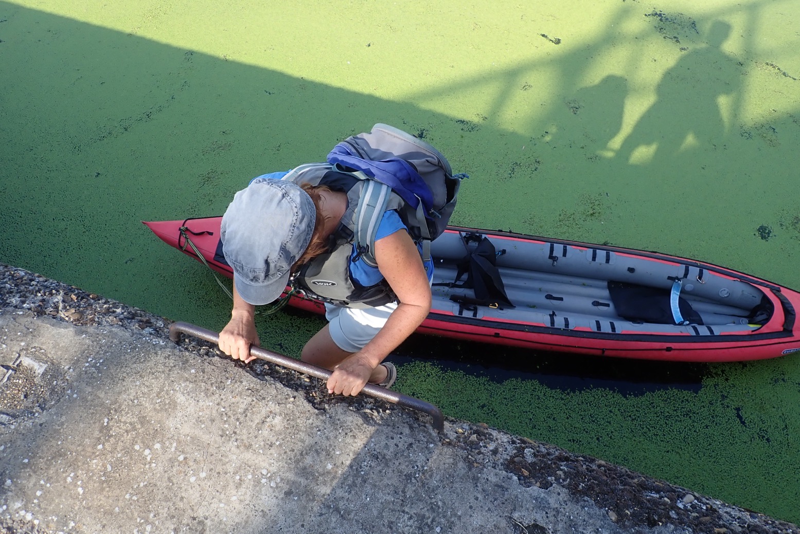
Our first trial came at Carpenters Road Lock (booking required a week in advance). It has a unique radial design with gates lifting a bit like a bulldozer blade. The CRT is very proud of it. Even though it’s permitted, as a single kayak I wouldn’t expect to use this or any lock; portaging is always quicker. But I would expect it to be fairly easy to get out and portage around a lock, just as I did 13 times or more last week on the Regents Canal. Maybe I’m going soft, but clambering up a 12 feet of rungs set in the canal wall, hauling the boat up, and then carrying it half a kilometre to the next accessible put-in doesn’t encourage paddling. What next; the cliff climbing finale from Deliverance (right)?
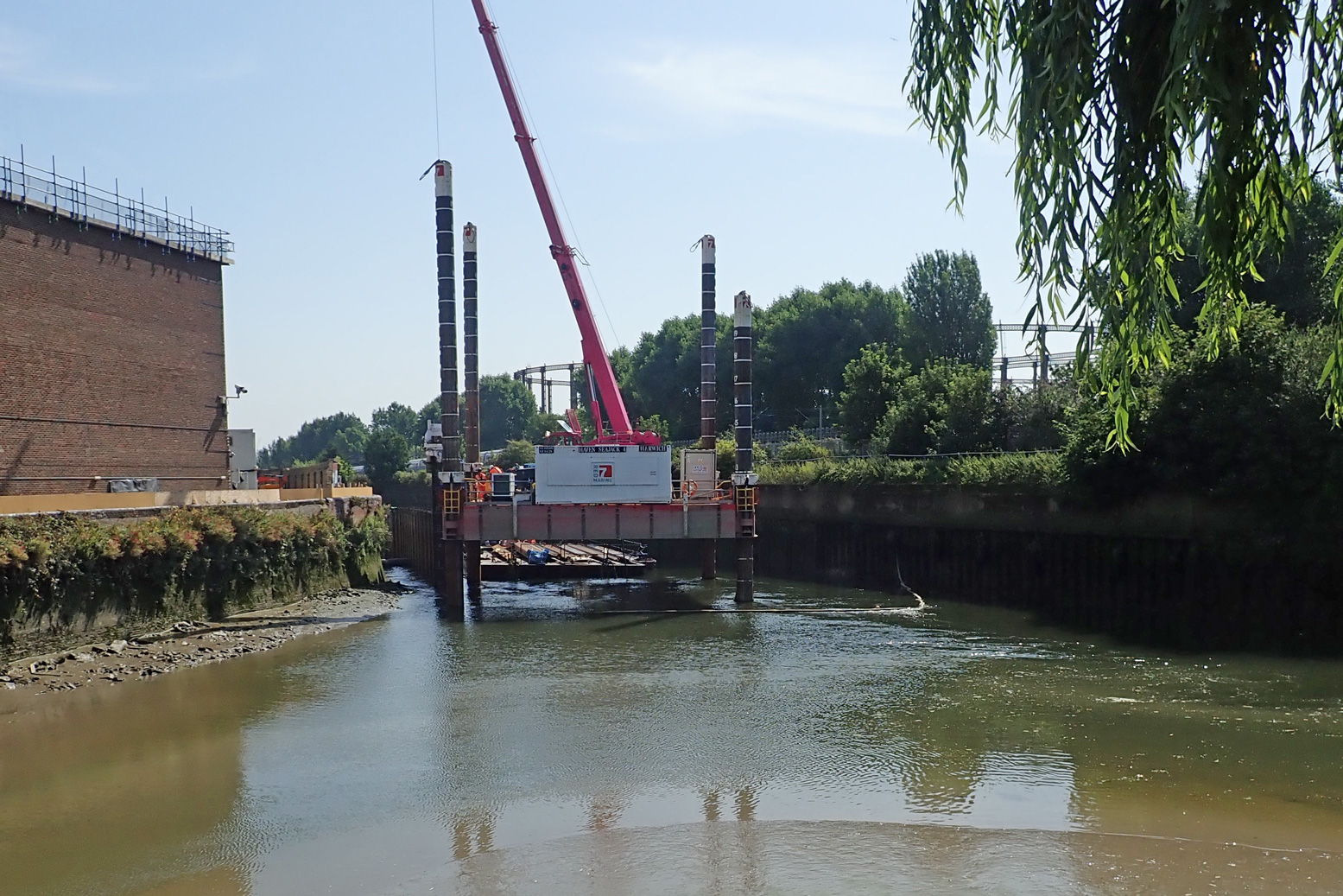
Two miles downriver at Three Mills Lock, (which I read was closed for repairs) we had to get up an even-higher ladder jammed behind a derelict? barge. To access the tidal stretch downstream of the lock, the only way was another long wall ladder, but it was behind temporary barriers. I could have wandered on to the Channelsea River to look for an easier put in, but where it joined Bow Creek (right), a cable or pipe to the crane floated across the surface, blocking the way. On a wild river you portage as long as necessary, sometimes miles. But either side of a lock on an urban waterway, how far do you go?
To be fair I’d timed the tide all wrong. I thought (correctly) that mid-ebb could be a fast run on the Bow, but in my greed for speed I’d failed to appreciate that at the tidal extent (the lock and adjacent Three Mills Island, left, 3 hours before LW at Bow Creek mouth), mid-ebb has already gone shallow. You’d need ropes to get down to a boat. I suppose the easiest way to do Bow Creek is to paddle up with the tide and then let it take you back – this must be what local hardshellers do. With a packboat you can dodge such backtracking. But not here it seems. And whichever direction you do it, once you’re in Bow Creek, I don’t think it’s easy to get out of the high-walled channel. Our East London paddle occurred during a mini-heatwave with temperatures up in the mid-30s. What better place to be than on the water. But not in it: that morning the news reported a staggering three drownings yesterday, all on the Thames and all separate incidents. Lacking the hoped-for thrill of the Bow Creek finale, the route we took wasn’t so interesting from the water, though would be a nice walk or cycle if you’ve never seen the Olympic Park in real life. From the water, you see a lot of high rises or backs of factories or construction to make more of the former. Even with its dozen or more portages, I found the Regents Canal much more diverse and interesting.
Below, some pictures from our day out.
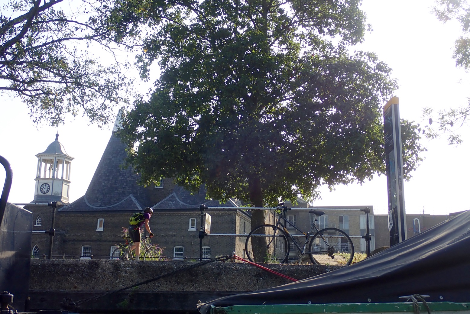
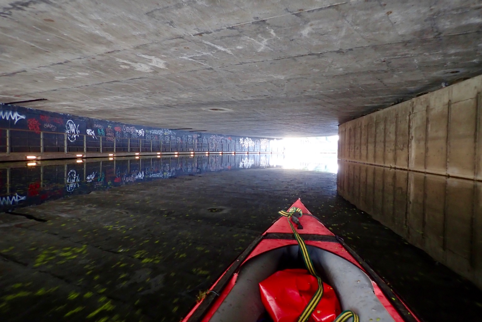
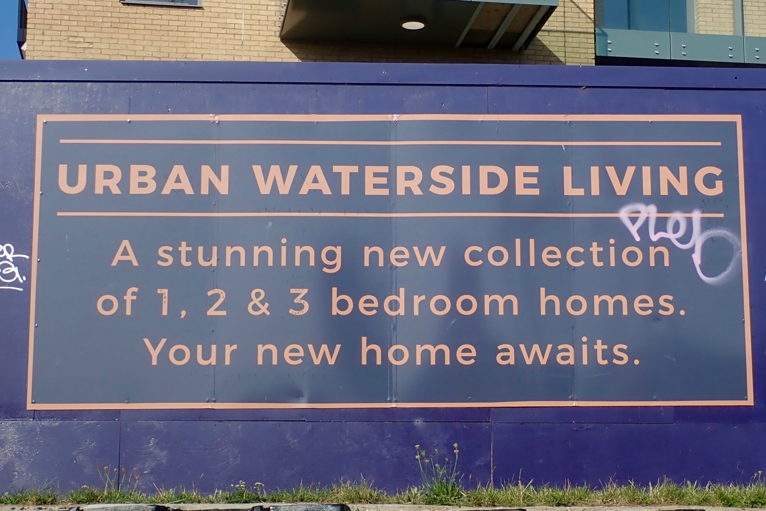
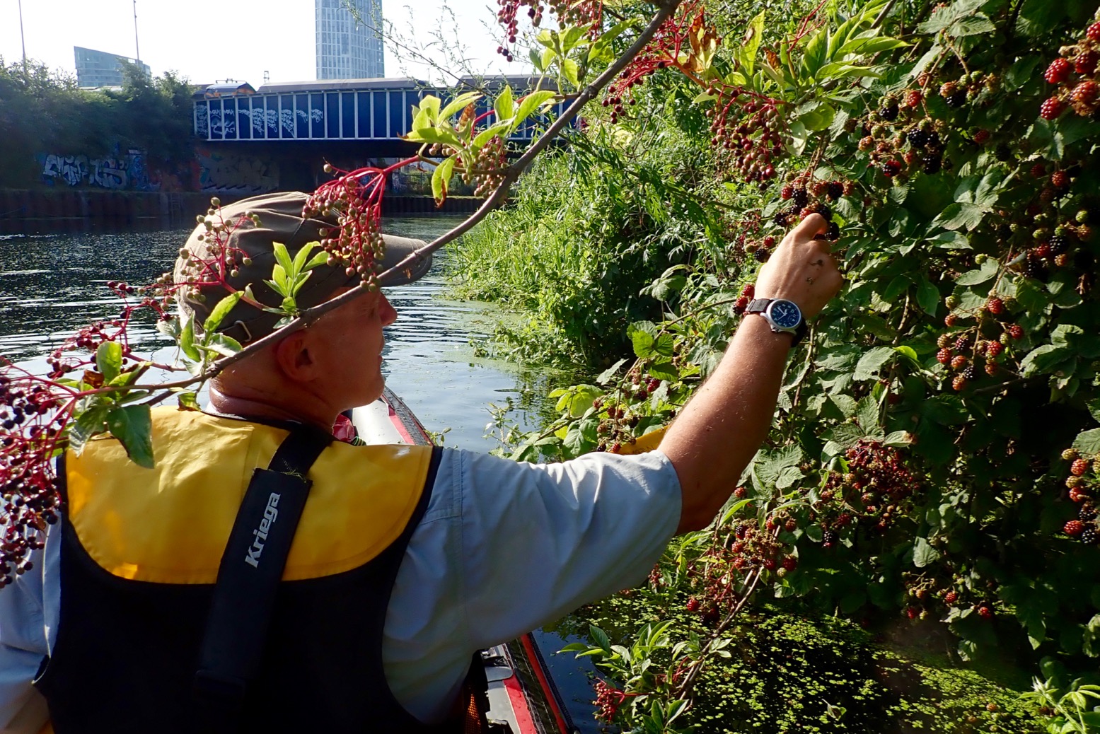
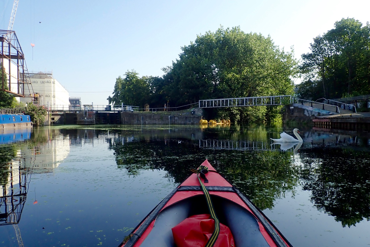
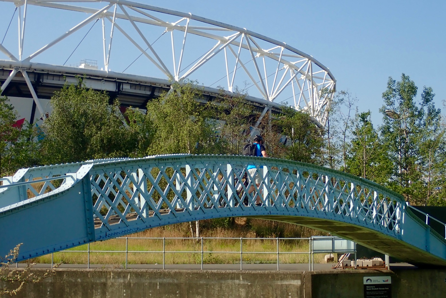
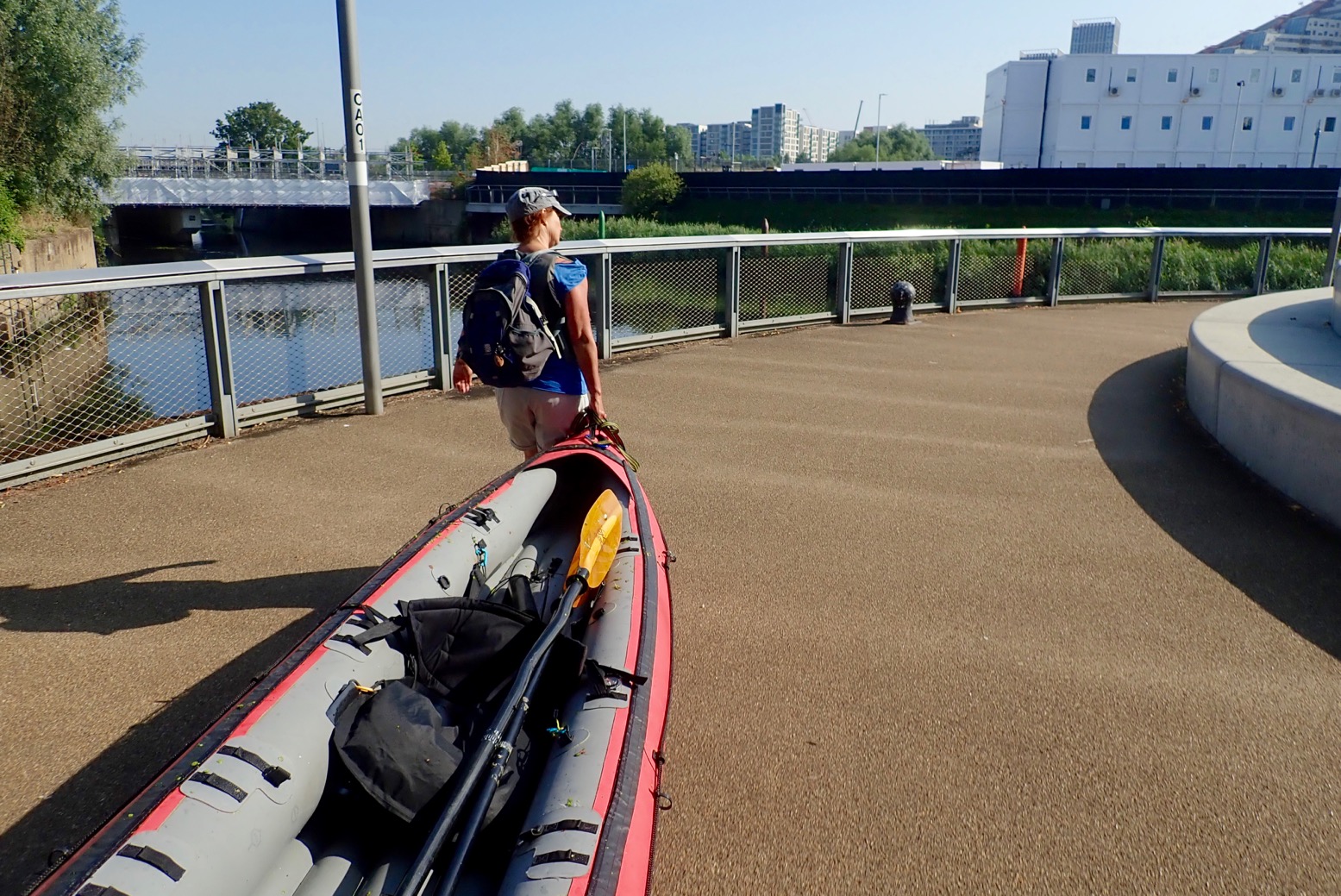
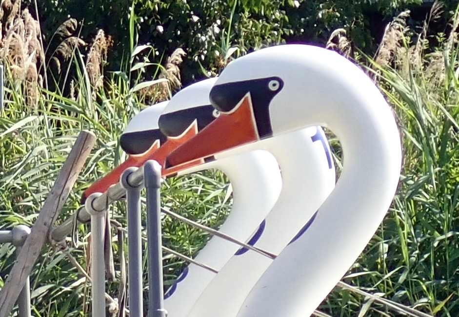
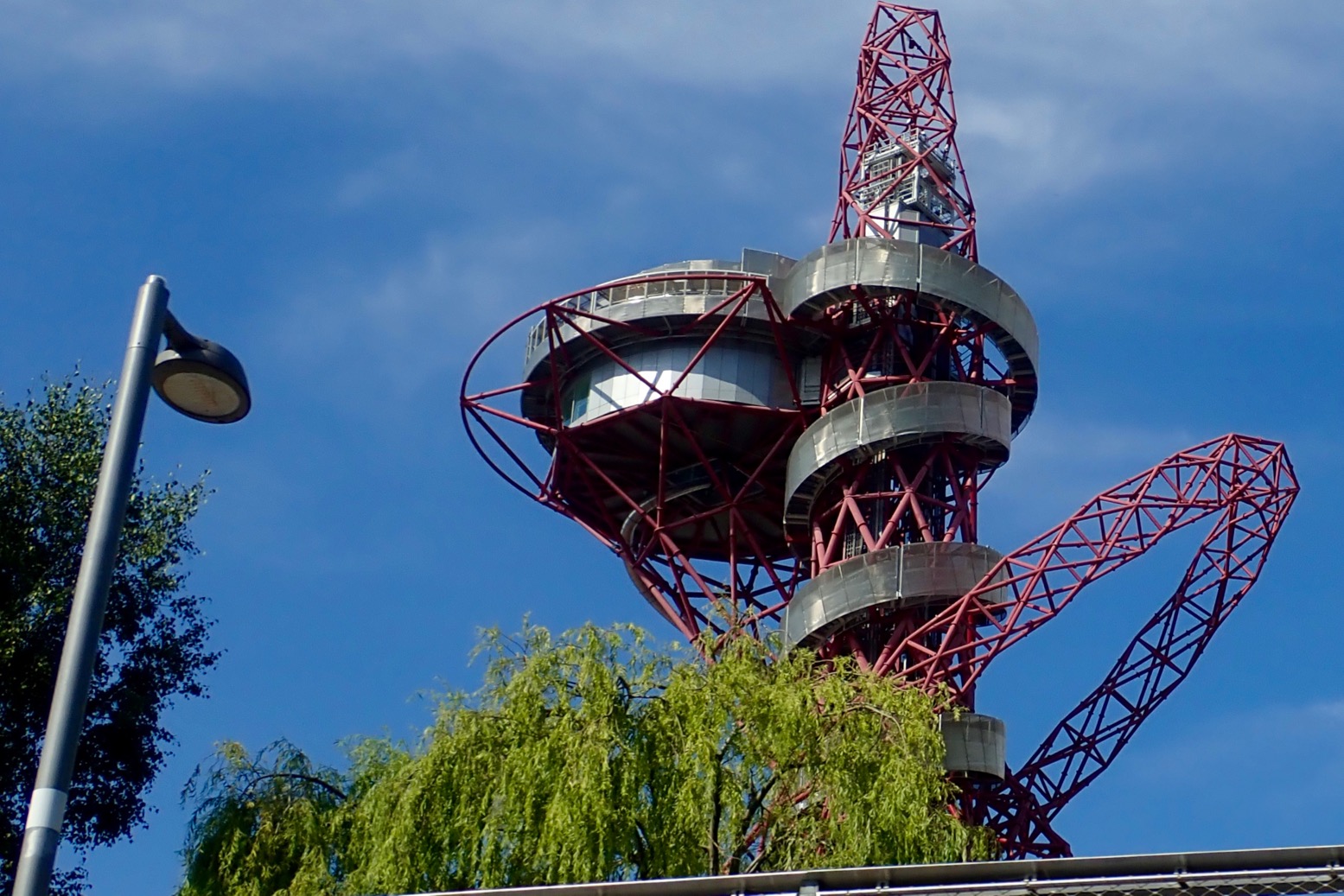
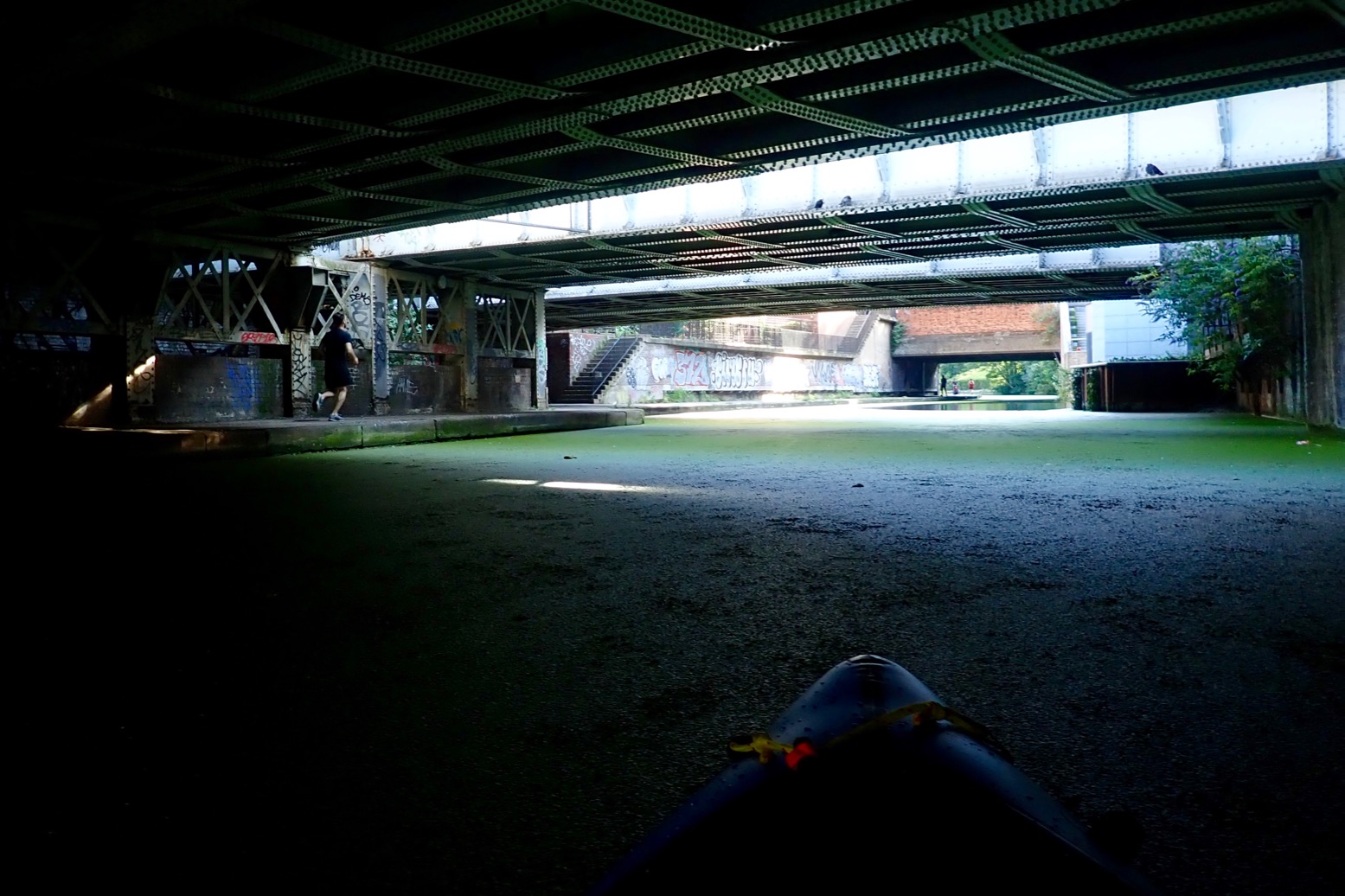
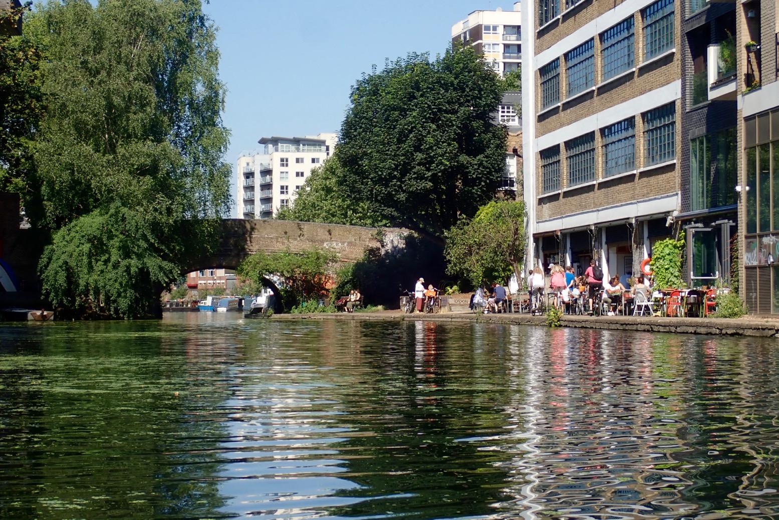
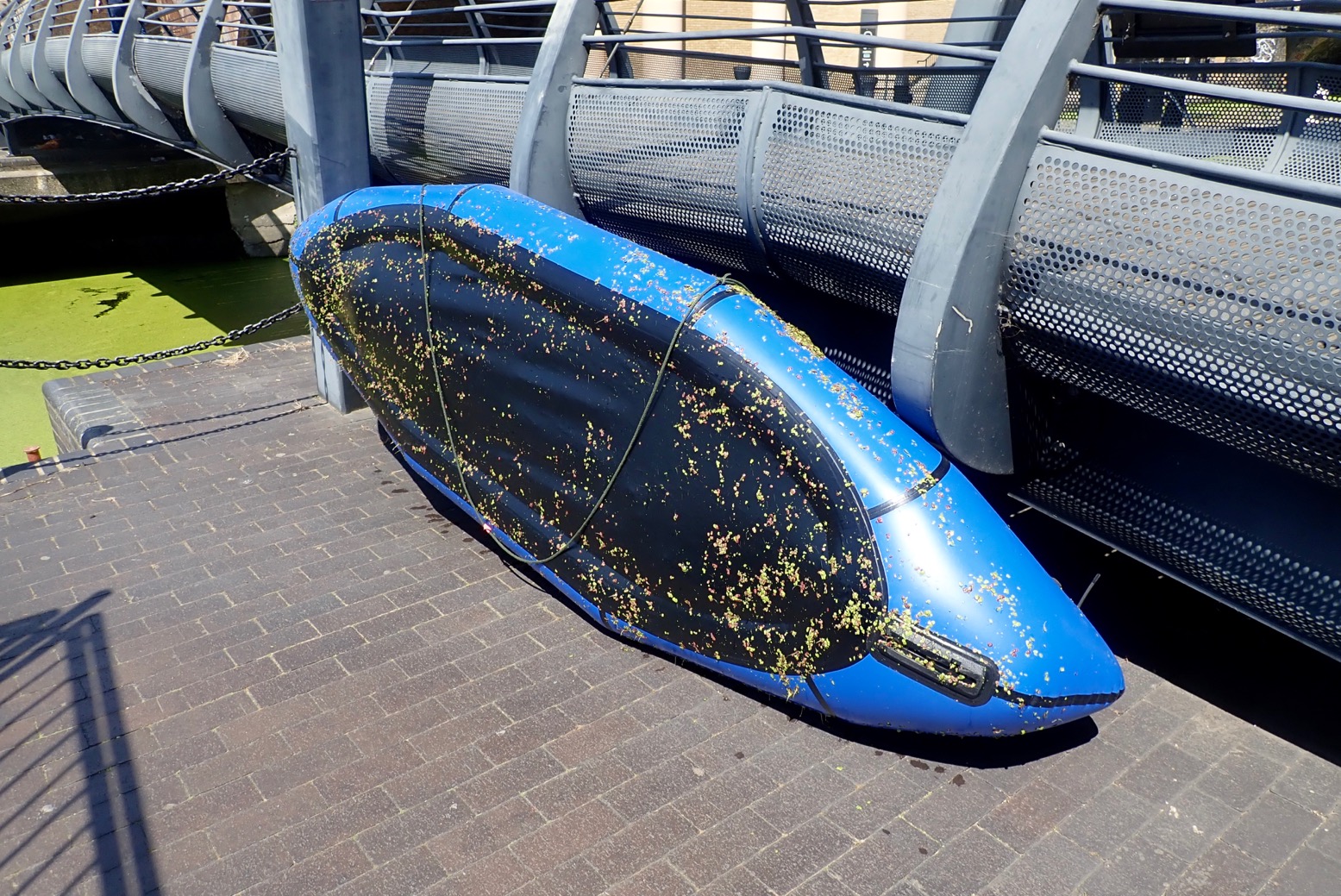
Limehouse Basin 7am.A week earlier, covered in duckweed.A normal-height floating jetty on the east side of the Basin. More of these needed upriver.Thick weed clogs Bow Docks which drop to tidal Bow Creek for the Thames. But there is no easy way to access Bow Creek from the bank. You must book the lock in advance.Three Mills Island complex – there’s been a tidal mill here since Saxon times they say. There’s a cafe.Under the Bow Flyover. The Lee is the notional boundary between the East End and East London. In some pubs it pays to know the difference. Aabout 1200 years ago in Alfred the Great’s time, it was the frontier between Danelaw (Vikings) and Wessex (Anglo Saxon England).Loads of building all around. London will be utterly brilliant when it’s finished.How deep is a canal, you ask? This deep, but often less on the sides.Belladonna and blackberries.Old Ford Lock (Lee River Nav) to the left. Just after, Hereford Union canal leads back west to the Regents Canal near Victoria Park. We follow the Swan right under the footbridge along the Old River Lea, passing below the stadium. Note the two different spellings of Lee/Lea, Ley being the original Medieval spelling. I realise that nearby Leyton + Leytonstone have the same derivation.Nesting heron.Carpenters Road Lock. How do you get up there? How indeed.Actually quite easy out of an open IK. Don’t drop the lead!We could have turned south here under this bridge and taken City Mills River back to the Lee River Nav just north of Three Mills Island and so back down to Limehouse (see map below). A closed loop with no locks which would be an OK canoe or even a SUP. You can rent Moo Canoes at Limehouse.Instead, we portage for 500 metres to the Waterworks River. A superb trolley surface.
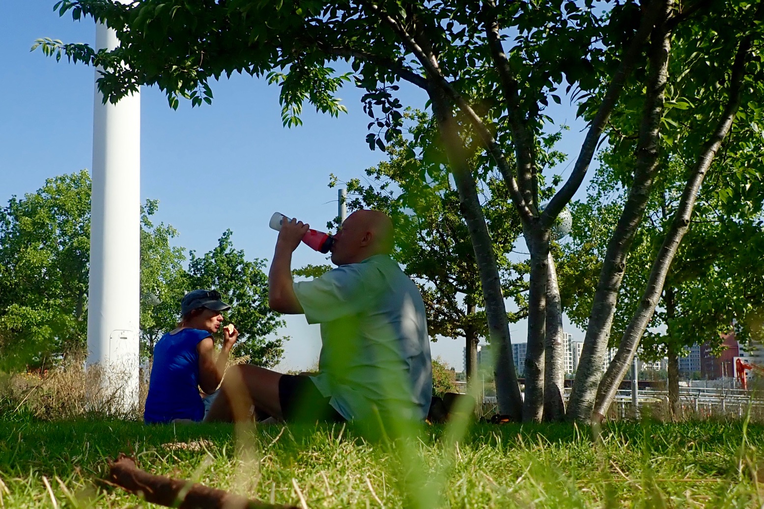
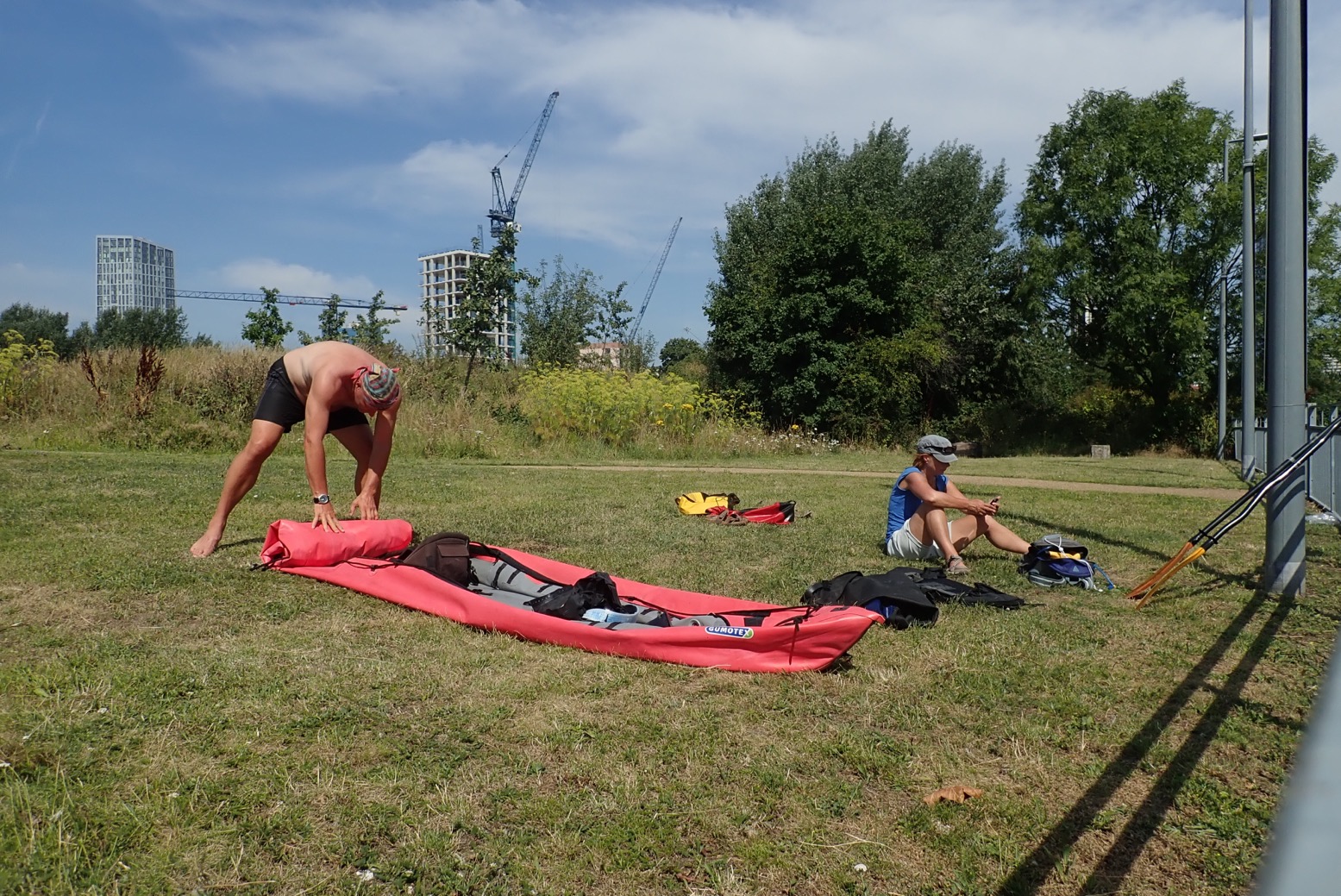
9am – time for brekkie in a park before crossing the bridge. There are a couple of snack huts here.
Round the corner from the lock, yard-high put in on the west side of Waterworks River. Gate by the steps locked for no reason so down the ramp past a site entrance. Below the bridge is a short ladder and the gravel riverbed is only a few inches deep.
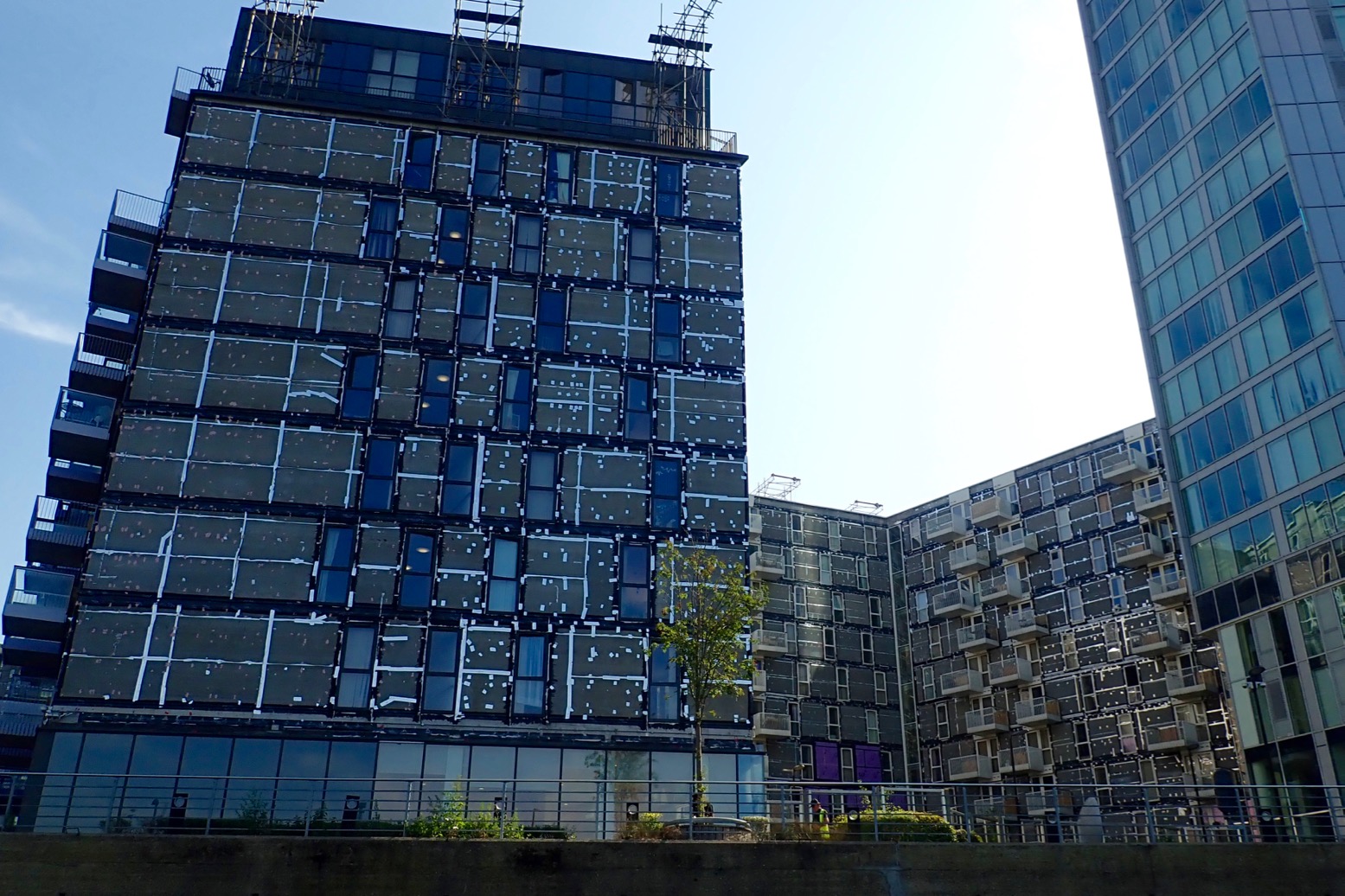
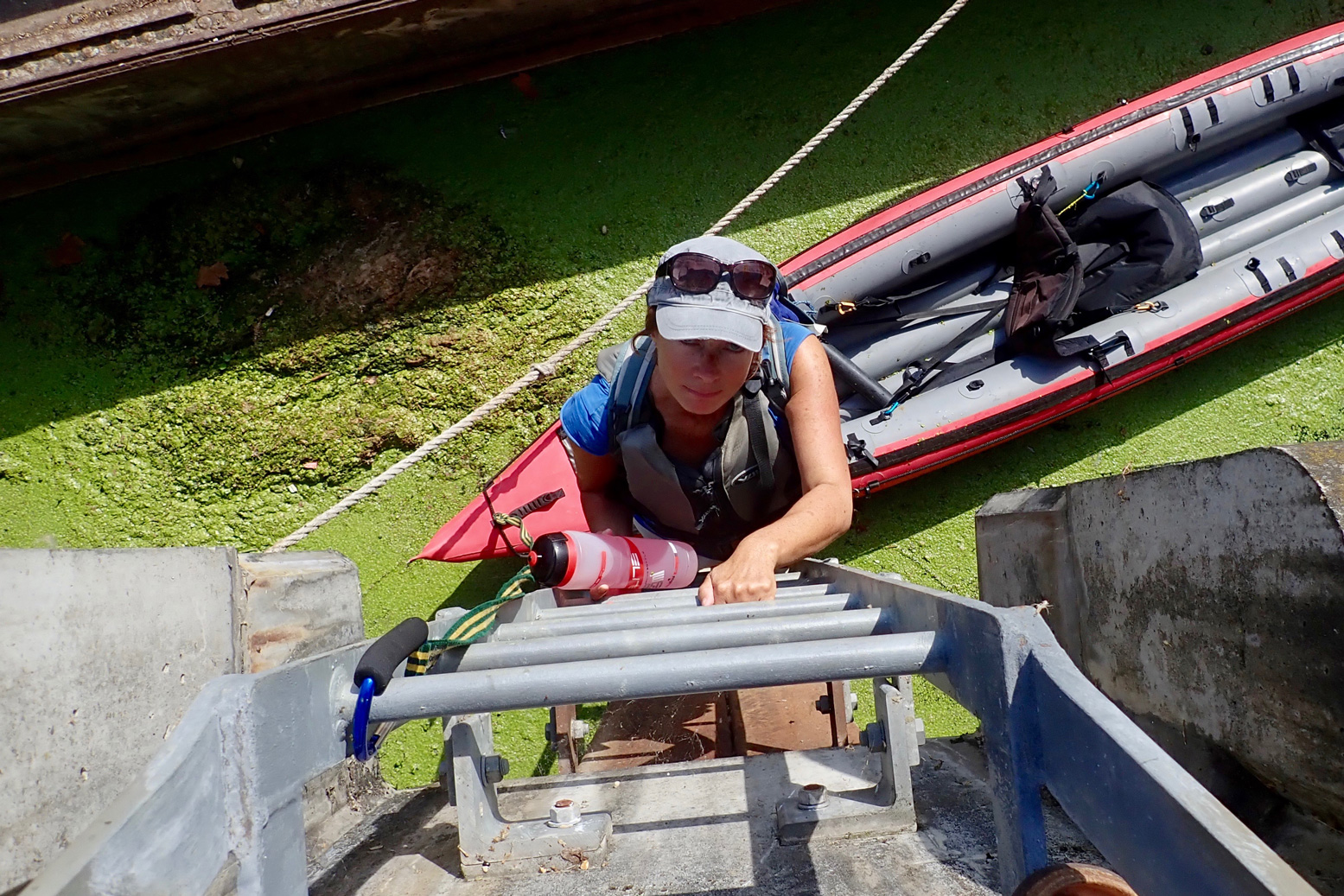
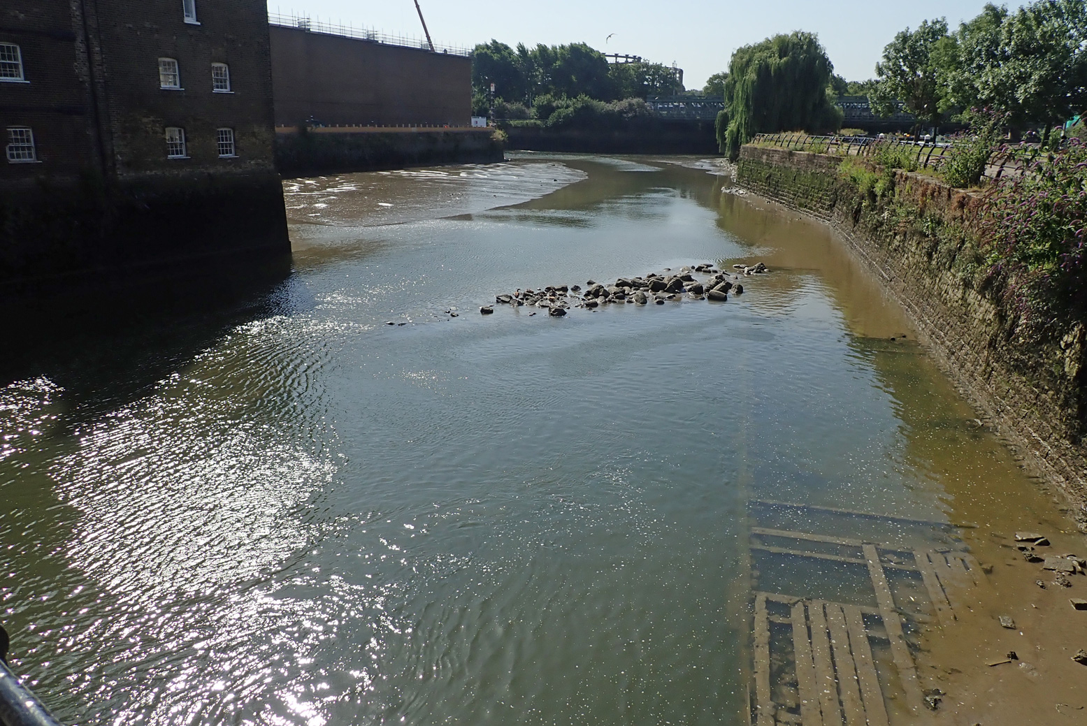
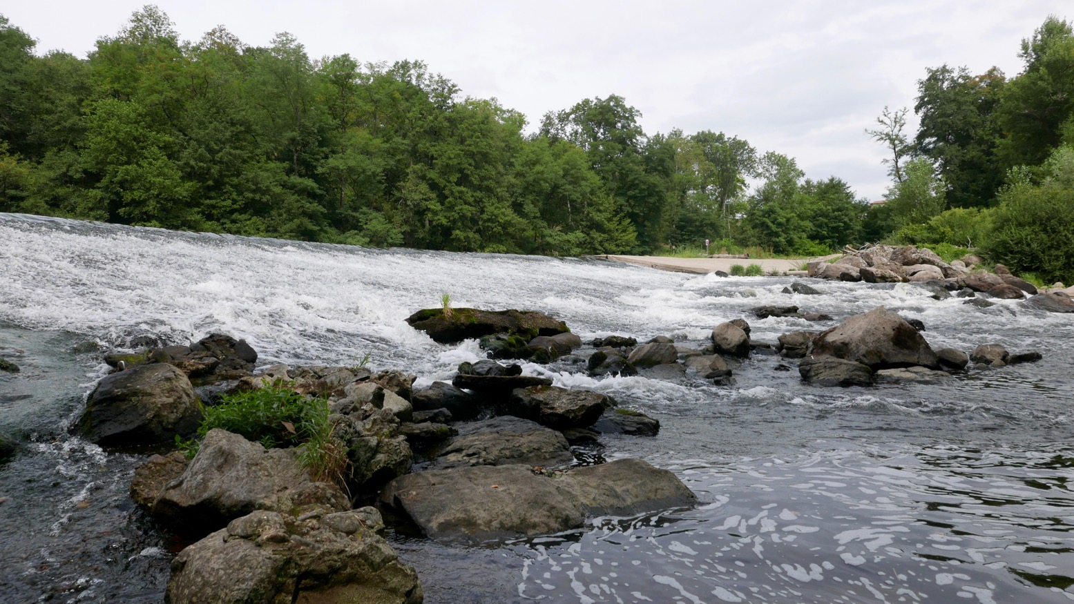
The Swan Highway Patrol.The famously elegant Mittal sculpture – and some twisted red thing on the right.Once a quick way to tart up old flats, cladding removal now in progress.You want your water bottle or what?Awkward and mucky take-out at Three Mills Lock. This is where your 3-metre lead comes in handy.Good thing with IKs: light and bouncy.I walked off for a recce all the way down to Bow Locks but found nowhere to put in – not even ladders. This spot above was about the easiest place, but still required clambering over fences to get to a walkway 9 feet above the bank scrub. With all the attendant construction and secretive film studios, you’d need to be quick to dodge the hi-viz jobsworths. This point is just north of the Three Mills complex where……you’d pass almost immediately under the Mill building. There’s a very shallow weir at low tides; maybe nothing at higher water.
View downstream on the bridge above that mill race. This is 3 hours before LW at Bow Creek mouth, but even at HW access is still awkward.
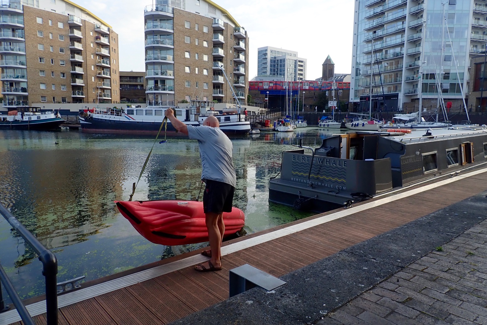
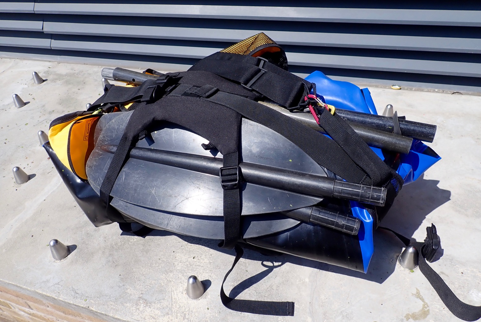
Reluctant to retrace the nearby Lee Nav back through the weed morass and down the Cut to Limehouse, I wipe off the duckweed and roll up.We set off for the hot two-mile walk back to Limehouse.Wouldn’t be an urban paddle without one of these!
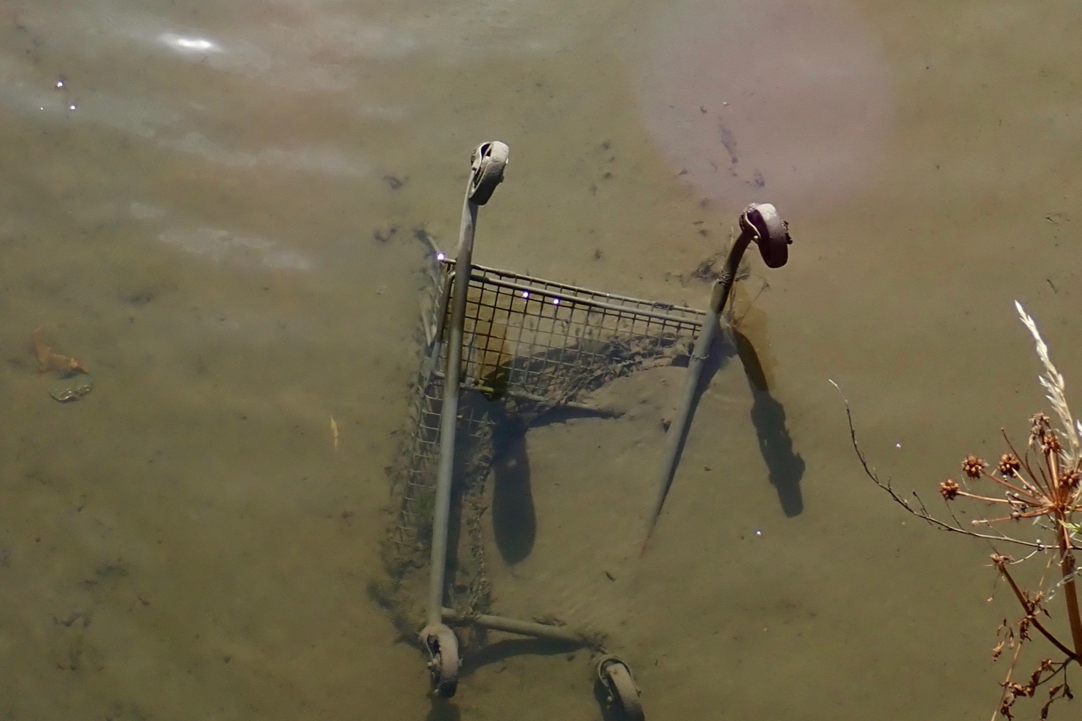
Urban canals have long been rediscovered as quaint, idiosyncratic backwaters for boat dwellers, joggers and cycle commuters, or have seen adjacent industrial wasteland redeveloped into glitzy apartment blocks or waterside business parks complete with mouth-watering eateries and amusing sculptures. The old cliche of filthy neglected ditches where joy-riders dumped scooters and drunks hurled traffic cones or shopping trollies is outdated, at least in central London.
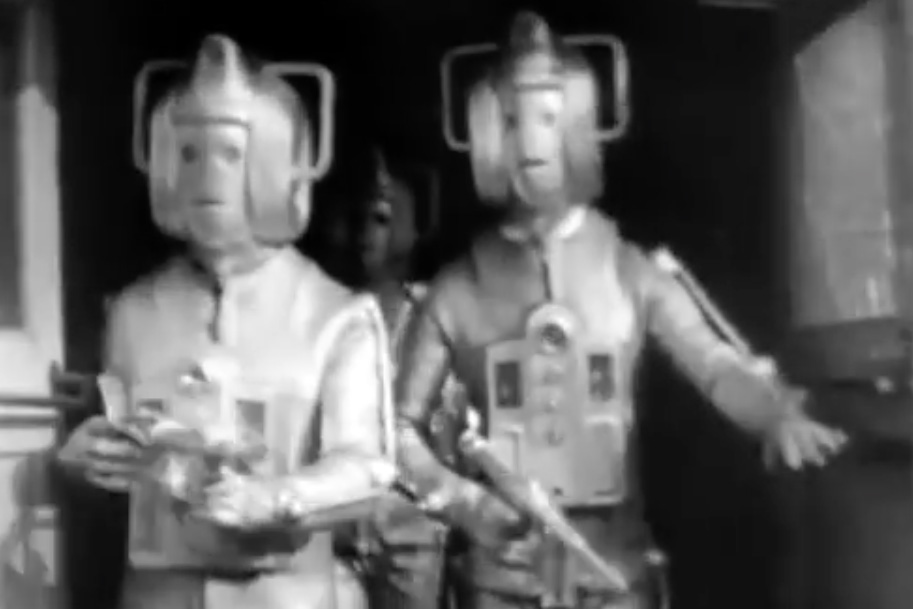
These days, if Doctor Who needs a grotty urban canal to stand in for a toxic sewer where evil Cybermen are spawning The Invasion (1968; 00.57), they’d probably have to go abroad or something. All of which means that, once you include London’s excellent transport links, the capital’s fascinating canals make for great packboating.
The 200-year old Regent’s Canal is inner London’s best example, arcing nearly 9 miles (15km) across London from near Paddington eastwards to the old docks at Limehouse on the Thames. It starts at the dreamy, willow-rimmed mooring of Little Venice, passing Regents Park’s neoclassical mansions and the chattering apes of London Zoo before turning for Camden Lock Market where Jimi Hendrix bought his first Rosetti Airstream. Here the canal drops down a few locks to unrecognisably redeveloped Kings Cross, home of Google UK and where giant Victorian-era storage tanks have been converted into luxury flats. East of here, your water-level view flits between bohemian, suburban, light industrial and even rural parkland, until you arrive at the marina of Limehouse Basin by the Thames. On the way you’ll have portaged 13 locks and two tunnels (marked in red on the map below).
The Regent’s Canal
Britain’s canals helped kick off the world’s first industrial revolution. Canals linked or added to long-established river navigations and enabled inexpensive and reliable cross-country transportation of heavy, bulky or fragile commodities, like pottery. At this time the decrepit road network was still suffering from 1500-years of neglect following the Roman era. Packhorse trains were superior to wheeled carts but were way too costly. Around 1805 the Grand Union Canal linked the burgeoning industrial heartlands of the Midlands with Paddington – then a village on the western edge of London. The advent of Napoleonic Wars included attacks on coastal shipping, necessitating secure inland transportation to help provision the war effort. (The Wey-Arun Navigation linking London with the navy fleet at Portsmouth, was another example). The Regent’s Canal followed London’s northern perimeter to link the Grand Union with the deep tidal Thames at Limehouse (above) near the new West India Docks. Here, lock-controlled ‘wet docks’ were regarded as more efficient and secure than London’s old bankside wharves. The map below is from 1830 and shows that even a decade after the canal opened, most of it passed through open countryside. Within a few decades railways gradually brought about the demise of commercial canal transportation. I pinched most of this information from Jack Whitehead’s detailed version.
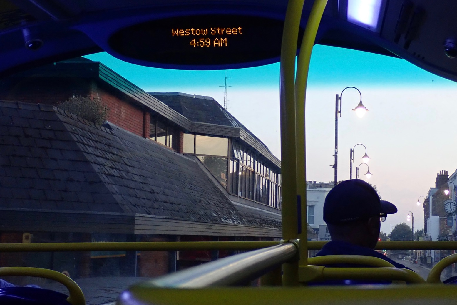
Time to go. I was on the bus before sunrise.
Bear with me, I’m still waking up.
Cables and cladding at Edgware Road tube.
New apartments, offices and the Fan Bridge at Merchant Place in Paddington Basin, the ‘Paddington Arm’ terminus of the Grand Union from Birmingham.
The canal ahead of the lifting Fan Footbridge is cordoned off so you can’t actually put in here. Along with the similar ‘Curling‘ Bridge nearby, a cynic might say these are eye-catching engineering solutions to non-existent problems while other celebrate innovative urban art. Both bridges make scheduled performances on weekends.
The Paddington Arm of the Grand Union. Regents Canal actually starts by the former barge turning-point known as Brownings Pool; today’s Little Venice.
Just up the way below a footbridge is a strange retracting weir whose purpose may be to keep the scourge of duckweed from spoiling Paddington Basin’s clear-water vibe.
You can put in anywhere around here but…
Maida Hill Tunnel Before you start assembling your boat, know that in about 5 minutes you’ll need to backtrack from and portage around the 250-metre-long Maida Hill Tunnel which is closed to ‘non-powered craft’. And it’s not a quick 250-m hop-around either. Because of a private towpath along Blomfield Road, and closures for repairs, currently it’s nearly a mile before you re-access the water below the Casey Street footbridge east of Lisson Grove. Knowing this, you may prefer to do as I did, and walk to (or start from) Casey Street Footbridge, about half a mile north of Marylebone tube. See map below.
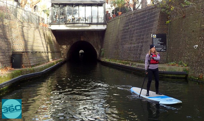
The temporary towpath closures (left) are to repair electric cables stemming from the power station at the end of Aberdeen Place at the tunnel’s eastern end. When it reopens the portage distance will halve, but that may be a while. So, you can paddle up to the western tunnel entrance from the Little Venice end (paddleboarder, below left), but you can’t get out here onto Blomfield Road because of a locked gate to the moorings. You have to backtrack to Little Venice, but it’s probably still worth it for a peep into the short if forbidden void.
In 2018 the Canal & Rivers Trust (formerly British Waterways) provisionally opened the 250-metre-longtunnel to paddle-powered craft. (Consultation document.) According to their own regs, any straight canal tunnel of less than 400m can be paddled. At Maida Hill you can clearly see the other end, anything coming at you will be silhouetted or lit, and the whole drama takes a couple of minutes to paddle, including taking pictures.
But to saves costs the tunnel is narrow and without a towpath (barges were legged through by ‘walking’ off the walls). Passing isn’t allowed or even possible, even in a slim kayak. Or a boat operator may not notice low-in-the-water kayaks, even with the mandatory headlight. Tour boats run via the tunnel daily from 10am between Camden and Little Venice.
‘Thank you for your enquiry. We do not allow kayaks through the Maida tunnel unless it is part of a special event”. Three months notice is preferred for your special event and solo transits are not allowed anyway. The website additionally warns: Non–approved unpowered craft shall not transit the tunnel eg. rafts and other types including inflatable arrangements designated for ‘fun’ use.
Clearly, they’re no more clued-up about modern IKs and packrafts than the BCU, or assume we’re all intoxicated pillocks goofing about on inflatable unicorns.
What could possibly befall a typically open and unsinkable IK, canoe, packraft or iSUP board in the tunnel? Do they assume such boats are inherently more dangerous than a beginner capsizing mid-tunnel in a tippy hardshell? Maybe the CRT has had problems with ‘inflatable arrangements’. Who knows, but I’ve also encountered this anti-inflatable prejudice on PLA media about padding the tidal Thames. I suppose it’s too much to expect these officials to know the difference between an Intex bin bag and a €3000 Grabner, but the common denominator must surely be the required BCUlicence (or a more expensive and limited pass direct from the CRT). I wouldn’t be surprised if it’s a canalised version of road-tax paying car drivers [cruise operators] vs freeloading pushbikes [kayakers]. The resentment the former feels towards the vulnerability of the latter generates irritation.
Here’s a suggestion: mount some traffic lights at each end on a 5-minute turnaround, and perhaps some low-level motion-activated illumination inside. That way the Maida Hill Tunnel could be safely and easily open to all users. Apparently, it’s currently being considered.
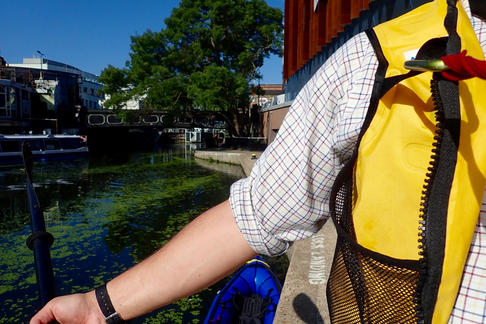
Long story shortened a bit, I enjoyed my exploratory walk and finally got to air-up my MRS Nomad below Casey Street footbridge looking down on the Lisson Grove Mooring (aka Marylebone Wide).
The canal surface was thick with a lush carpet of floating pennywort or, as I prefer to call it, Hydrocotyle ranunculoides. This lurid green matting covered the canal from bank to bank just about the way to Limehouse. At times it was so thick birds easily stood on it, but it didn’t noticeably impede my paddling…
… because an MRS Nomad doesn’t exactly slice through water like Poseidon’s scythe. Once on the water I paddled back west, under the Lisson Grove or Eyre’s ‘tunnel’…
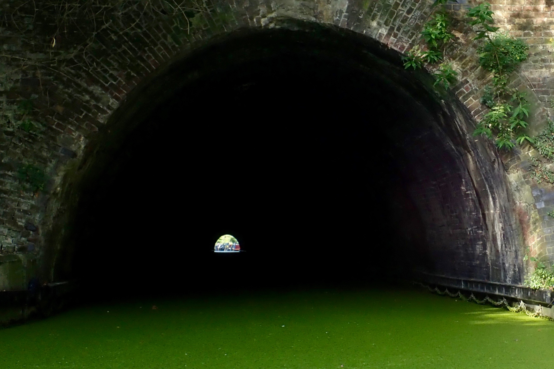
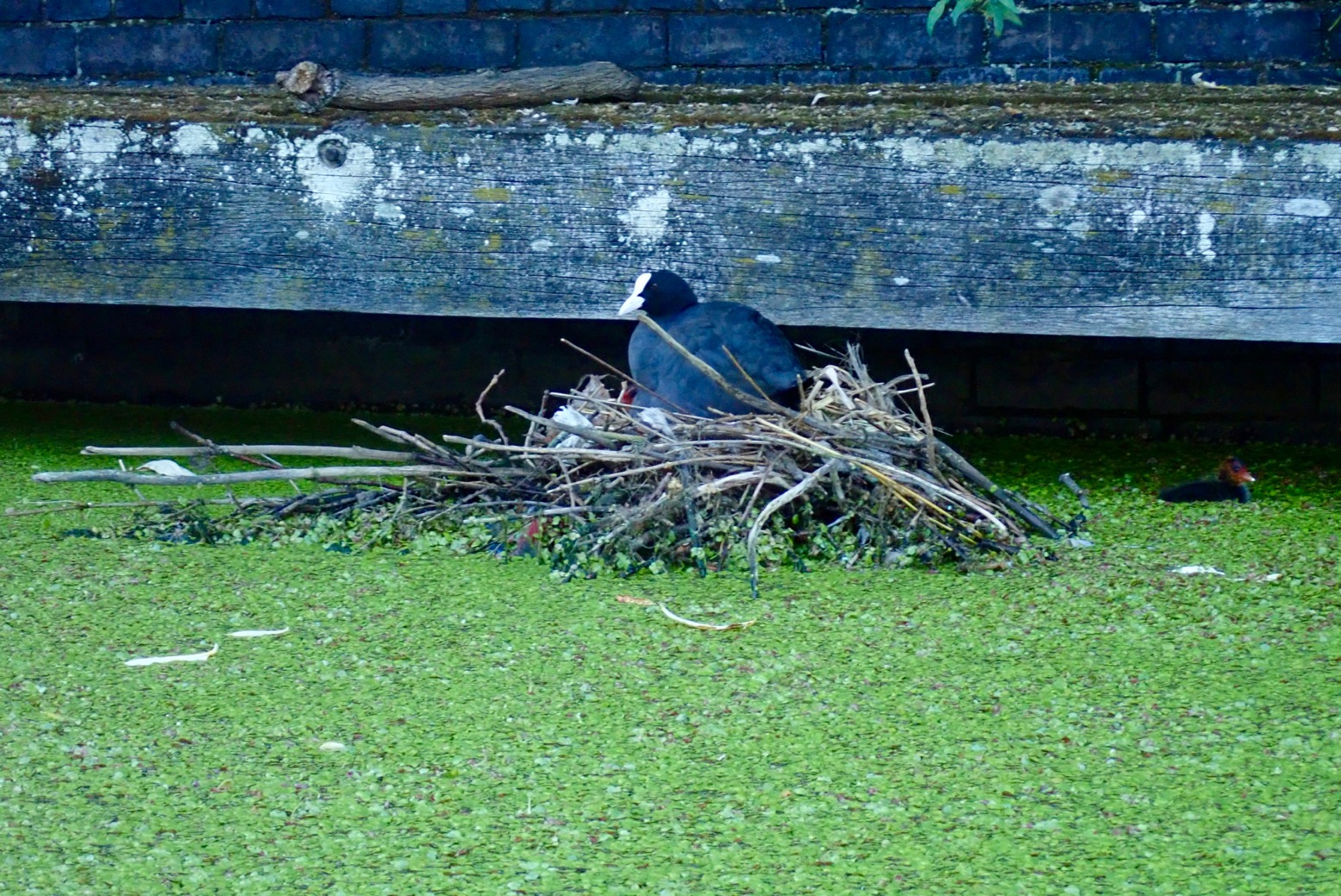
… for a peek at the eastern, ‘Doctor Who’, end of the Maida Hill tunnel. It didn’t look that far or that deadly. Then I paddled back, passing nesting coots…
… and preening fowl. By 8am I was on my way to Limehouse.
Under the Chiltern Line rail bridges and Park Road (A41).
And into the bucolic enclave of Regent’s Park, passing elegant mansions and accompanied by a phalanx of pushbikers and joggers dashing and dodging other joggers and pram-pushing nannies.
At London Zoo all was quiet. Not a squawk, a yelp or a roar.
Regents Park was built around the same time as the canal, and one reason the canal didn’t simply cut directly east from Paddington towards the City along today’s A501 Marylebone Road (called ‘New Road’ back then, blue below) is because the well-connected park developer objected under the Tudor Statutes of NIMBY. The dirty canal diggers were forced to burrow like badgers through Maida Hill before swinging off on a northerly arc, all adding hugely to the cost and completion time. Funding the canal was a real stuggle.
At now-filled in Cumberland Basin (red, above), by the famously top-heavy Chinese pagoda restaurant the canal, appropriately, takes a left turn into the borough of Camden. Soon I arrive at Camden Lock Market but it’s too early on a weekday morning for the place to be busy with beret-wearing tourists.
There are three locks here in less than 300 metres, so I line the boat along the bank like a Yukon voyageur. I paddle away from trendy Camden and soon pass under the deafening Eurostar rail lines at St Pancras before entering what they now call Gasholder Park. Old Kings Cross is long gone and some of the gas storage tanks have been turned into flats. Welcome to trendy Kings Cross.
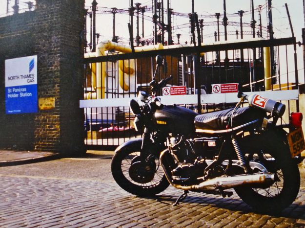
In the Eighties when I squatted near here, ‘trendy’ + ‘Kings Cross’ were not recognised combination. This was probably the seediest corner of central London and the real thing with junkies, prostitution and porno studios – a far cry from quaint, touristy Soho. One time we used the gas tanks as a backdrop for an article I’d written about a motorbike running on Nitrous Oxide or laughing gas. Fans of Mad Max will know about that. Mike Leigh’s High Hopes (1988) was filmed around the corner. Funnily enough, the story was about a lefty-slacker moto messenger, his woebegone mum and some pantomime-vile yuppies. Oh happy days!
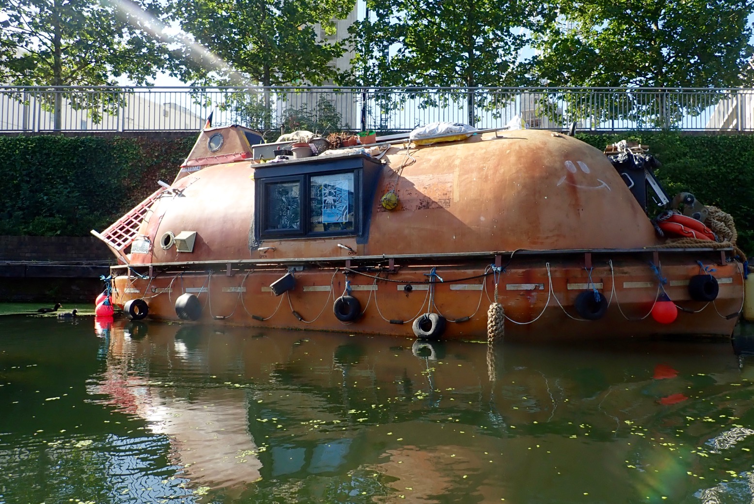
A lifeboat houseboat. No worries about rising sea level or tsunamis here.
The Word on the Water floating bookshop. I can’t quite square where I am with what lies around. I think back in my day it was all once a huge goods yard behind high walls. I swing into Battlebridge Basin but the museum isn’t open yet.
Up ahead is the 880-metre-long, Islington Tunnel. Again, as straight as a broomstick but closed to hand-powered boaters for similar reasons as Maida Hill. I was kind of hoping a barge might rock up and let me hook on for a lift, but the only things I’ve seen on the water are wildfowl, plastic bottles and Spirodelapolyrhiza. The museum organises boat tours through the tunnel two days a week. Maybe they’d agree to some slipstreaming.
I read that the portage follows helpful plaques set in the pavement. Cross the A1, Upper Street and head for Duncan St. It’s about a kilometre and would be somewhat of an arseache in a hardshell. Either way, I emerge at the eastern portal…
… and in need of a waterside snack at City Road Lock. It’s only 9.30.
By 10am I’m refreshed and on the move again. I put back in below the lock with a plop.
The canal turns north into Haggerston where, just after the Whitmore Road bridge, there’s a handy knot of cafes on the left. A better choice than City Lock if you want more than coffee and cake. It’s all yummy mummies round here, not the snarling, bottle-throwing punks I’d feared.
Kingsland Basin to the north, with a somewhat baffling kayak slalom course. Soon you pass under the Kingsland Road bridge, edging ever closer to south Hackney. or ‘Acne’ as some call it.
The canal is actually about 4 feet deep. near here I can see traffic cones and other junk on the bottom. But a prod with the paddle reveals two centuries of anaerobic silt, so don’t expect to be able to stand if you fall in.
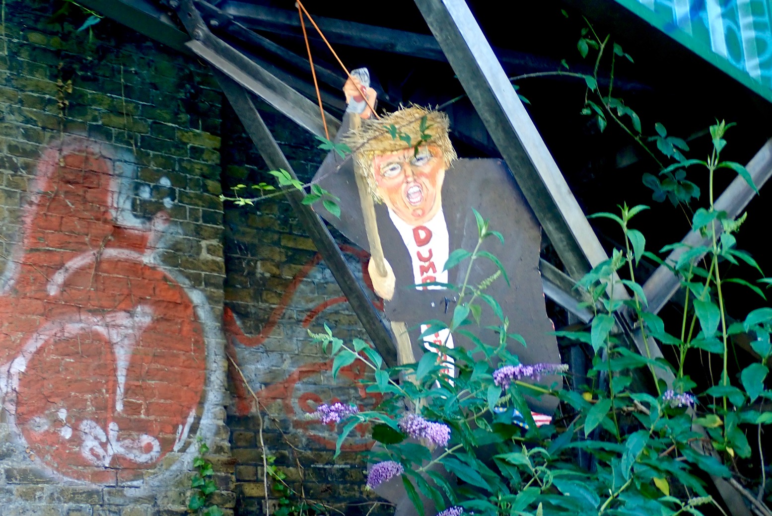
A populist ambush. These Eastenders are such wags.
Swan narcissus. There’s a fairy tale in there somewhere, a swan that fell in love with its image and was turned into an ugly duckling.
Another trickling spillway below a lock. I’ve lost track where.
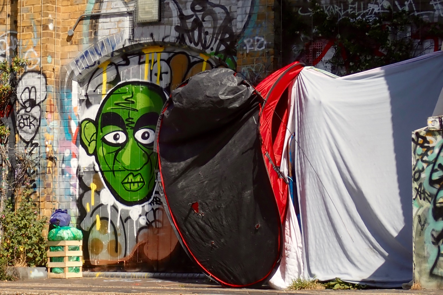
Nosferatu guarding someone’s tent. Sure beats a shopfront on the Strand.
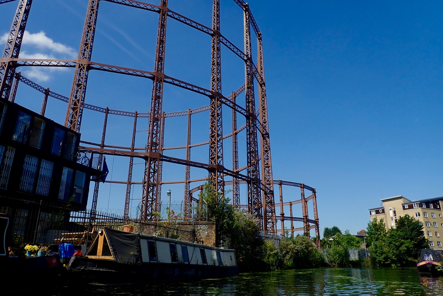
More gas holders near Cambridge Heath Road. You always find them near canals as the huge tanks need to float on water.
They’re actually like an upside-down cup resting buoyant on water and are as much about producing an even pressure as storage. Gas from a nearby factory is pumped in to the cavity above the water depending on demand, and the weight of the lid keeps the low pressure steady as it’s released out into the network (in an era before regulators).
New graffiti; 28-speed revolutions.
It’s that Nosferatu again. You just can’t get rid of him.
I’m approaching Victoria Park near Bethnal Green or South Hackney, it’s hard to tell. The precise name of your neighbourhood is very important to Londonders.
By Old Ford Lock (named after a car they dredged out of the canal in 1981) are the first canalside public toilets I’ve seen. Good to know. A nutty, bin-rummaging vagabond in a top hat has a quick chat and warns me of heavy weed ahead.
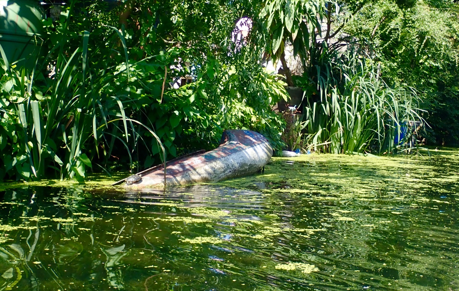
Is that a real turtle on the sunken kayak or a rubbery Hacknean joke?
On the left the Hereford Union which leads two clicks up to the Olympic Park and the River Lee Navigation. We’ll be exploring there shortly.
More of yer Acne ‘umour? Someone report these ratbags to the CRT, pronto! You won’t see such frivolity in la-di-da Little Venice.
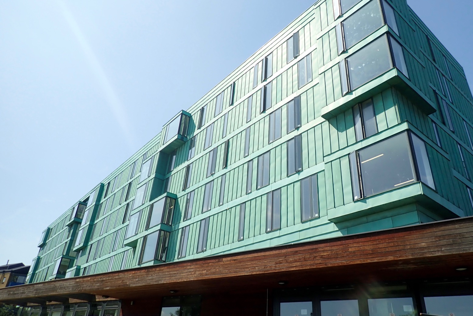
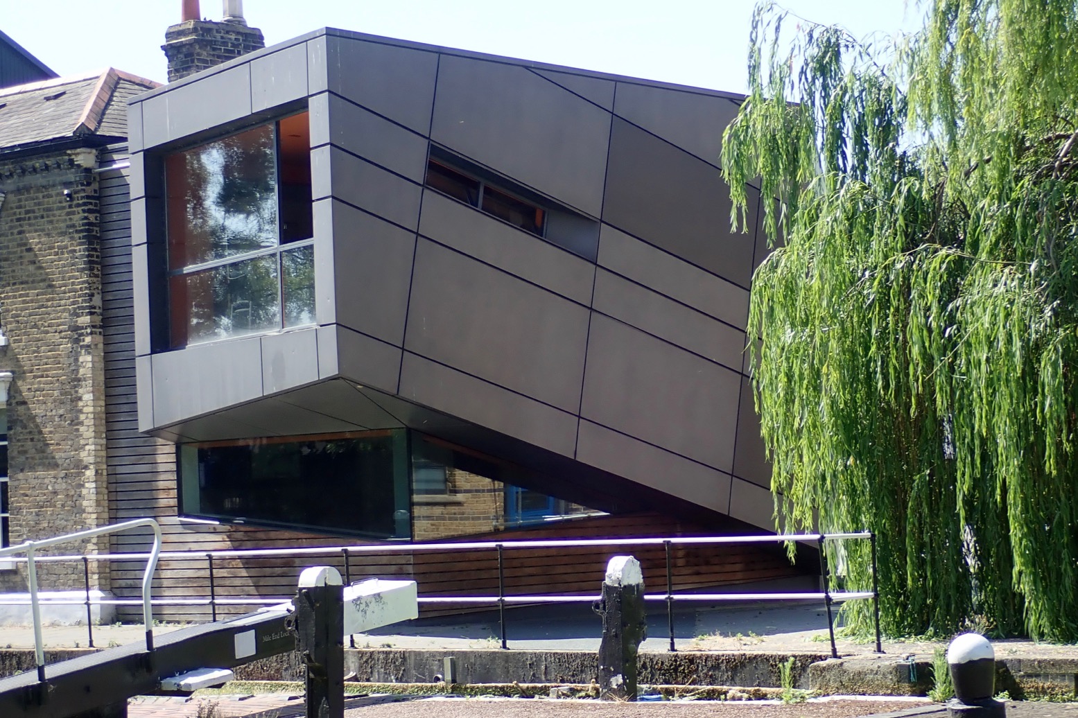
Architecture-spotting: new, old, industrial, domestic, elegant, ugly – is all part of the fun on the Regents.
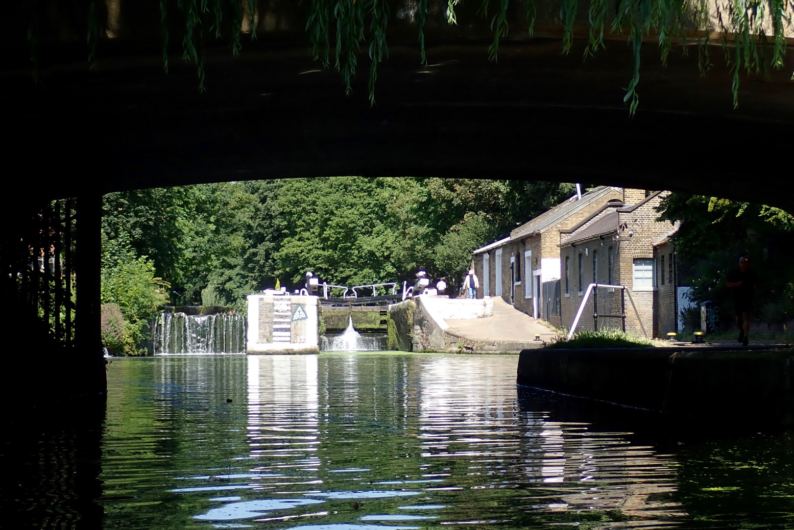
I probe a weed-clad lock. Locks are creepy places.
Canary Wharf ahead – the former Docklands of London which was the Regents’ very raison d’etre.
And here we are at Limehouse Basin and the first actual moving boat I’ve seen since Paddington.
A lot of weed to clean off.
All wiped down and rolled up.
I set off to walk upstream along the Thames for a bit.
The river looks really quite choppy and a strong spring tide shoves an abandoned kayak upstream towards Wapping.
Bored [sic] as a coot? Not on the Regents Canal!
Thanks for reading.
Want to head back and beyond. Watch this series of vids from The Londonistas
We had a good look, then shot this underground weir and were spat out the other end, grinning and alive.
Screenshot
Years ago I recce’d South London’s Wandle ‘River’ from Merton Abbey Mills to the Thames at Wandsworth – a varied urban run of just a few miles – and all from the safety of my pushbike. It’s not far from where I live but I decided the Wandle held too many elements which played to my watery phobias, not least near the end where the current sucks you into a series of sunless tunnels (left) under a shopping centre and former brewery. Sounds like a perfect setting for a macabre Gothic horror story.
But not everyone is so timid. Tim from Longshore International (defunct) followed tnhe Wandle with a couple of his boats. Full story with a description of the real hazards and more photos on Medium.
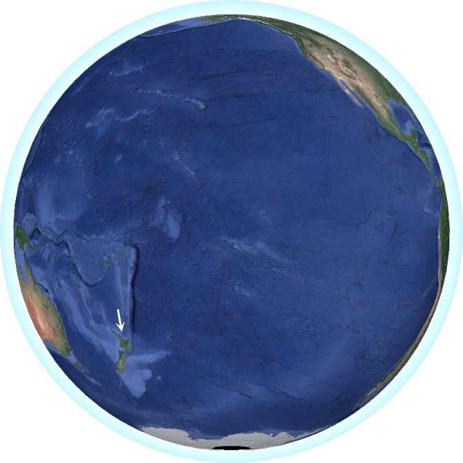
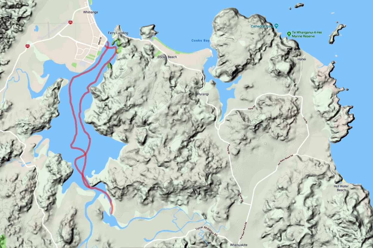
At a Dive shop in Whitianga on the North Island’s Coromandel peninsula half a day from Auckland, I asked the teenage girl left at the till which way the tidal currents flowed around here. She smiled at me like I was an idiot and explained slowly. ‘Well, when the tide comes in it like, comes towards you, and when it goes out, it sort of goes away.’ Before I got into sea paddling that’s what I would have said, but I explained what I meant, that tidal flows moved to and fro in a given direction along a coast, not just in out, in out, like a Can-Can dancer’s legs At any constriction or headland it’s a good thing to know when planning or timing a paddle. She looked it up on the internet.
‘Anticlockwise.’
‘Thanks.’
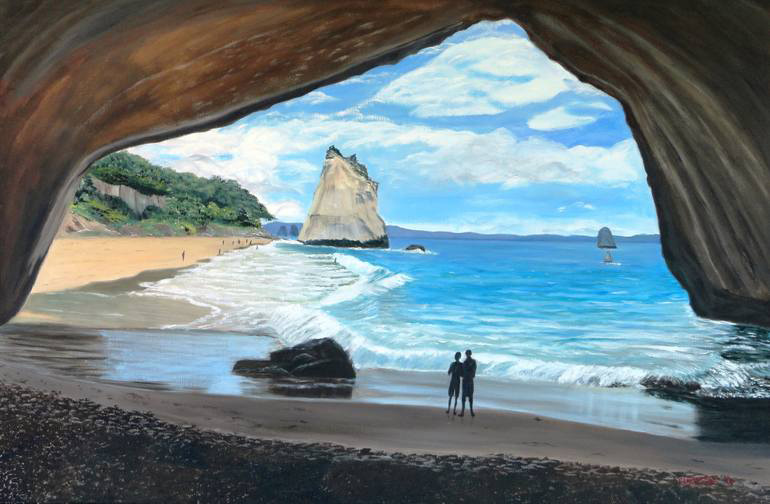
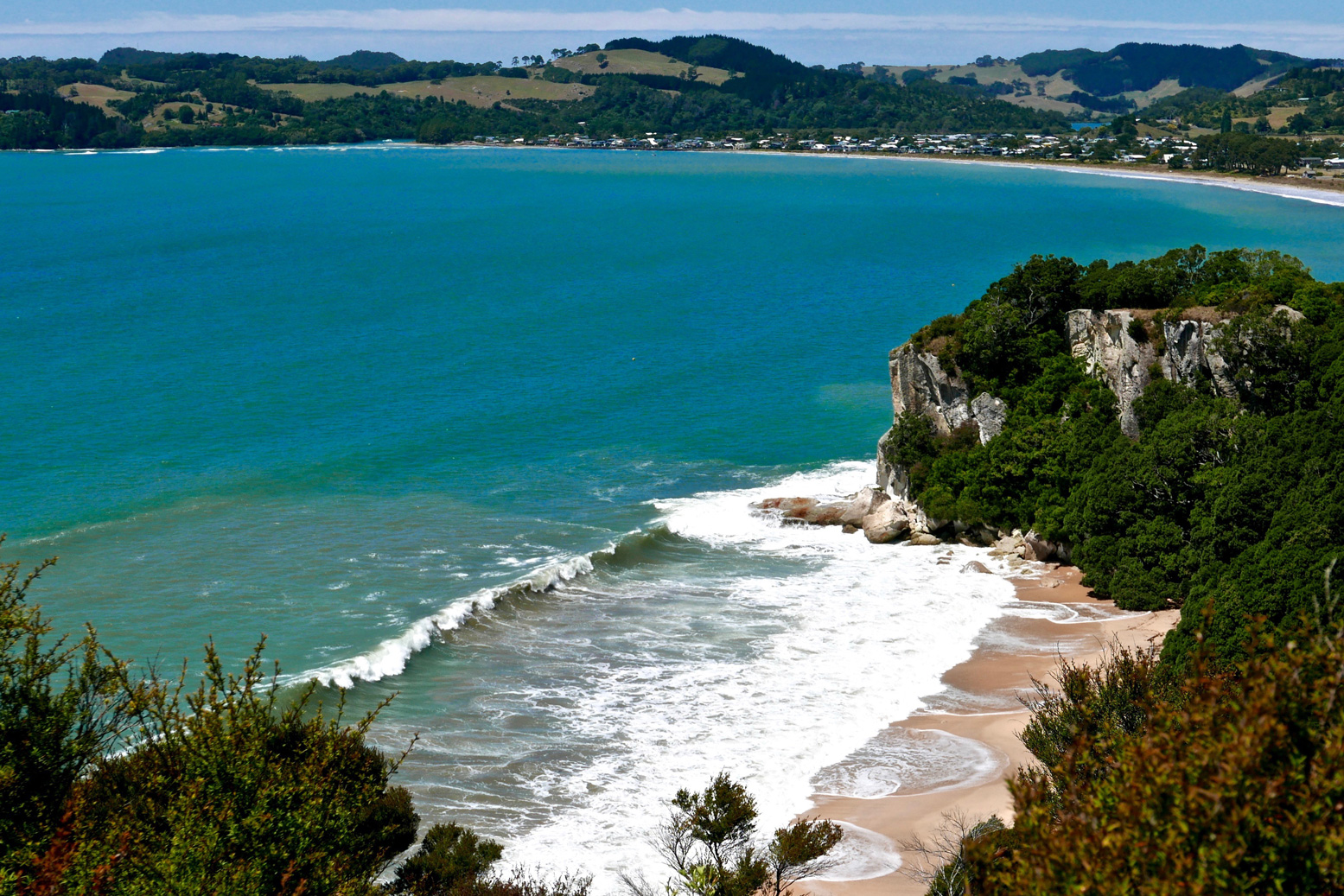
Tides apart, did I really think the surging expanse of the Pacific would be calm enough for a humble 10km coastal packayak round the cliffs of Cook Bluff to the famous and much fridge-magneted tourist icon of Cathedral Cove (painting below)? No, but now on my wavelength, Dive Girl went on to offer me tomorrow’s gloomy forecast: 4-metre swells, 35 knot gusts and occasional showers of razor-billed flying fish. A good day for a cliff walk then. Coming back next evening from Cooks Beach, I was a little appalled to see Mercury Bay awash with white-capped rollers, as if some tsunami was on the go. Surf’s up, if you have the nerve. It was right here in 1769 that Captain Cook and his crew – on the hunt for the fabled Terra Australis – first raised the British flag on the New Zealand shore while engaged in observing the transit of Mercury.
Maybe I’d get a chance the day after, my last. But even in the calm morning, the storm’s after-swell was still pounding the cliffs and beaches of Mercury Bay. Who knows how it was at the Cove of Broken Dreams which, they said, was still closed from the land side, anyway. Luckily, the cliff-rimmed natural harbour of Whitianga was sheltered from all this Pacific aggression. And better still, the tides were ideally timed to be swept into the inlet, before getting spat out on the mid-afternoon ebb like a retching gannet’s breakfast.
Settling up on a grassy strand near the marina, I realised I’d left my pfd at the hostel – this after noting a warning sign advising that all in <6-m long boats required them. Oh well, if spotted hopefully the harbour master will zoom up alongside me on his jet ski and lend me one for the day. As it was, I was heading inland where there’d be no one. Once tempered up via my hose extension, I scooted over the yacht-clogged harbour mouth, ferrying across the strong current filling the shallow inlet, tilting marker buoys as it went. I was told later that, partly as a result of dredging a channel for marina access, that Whitianga’s natural harbour was fastest flowing in New Zealand.
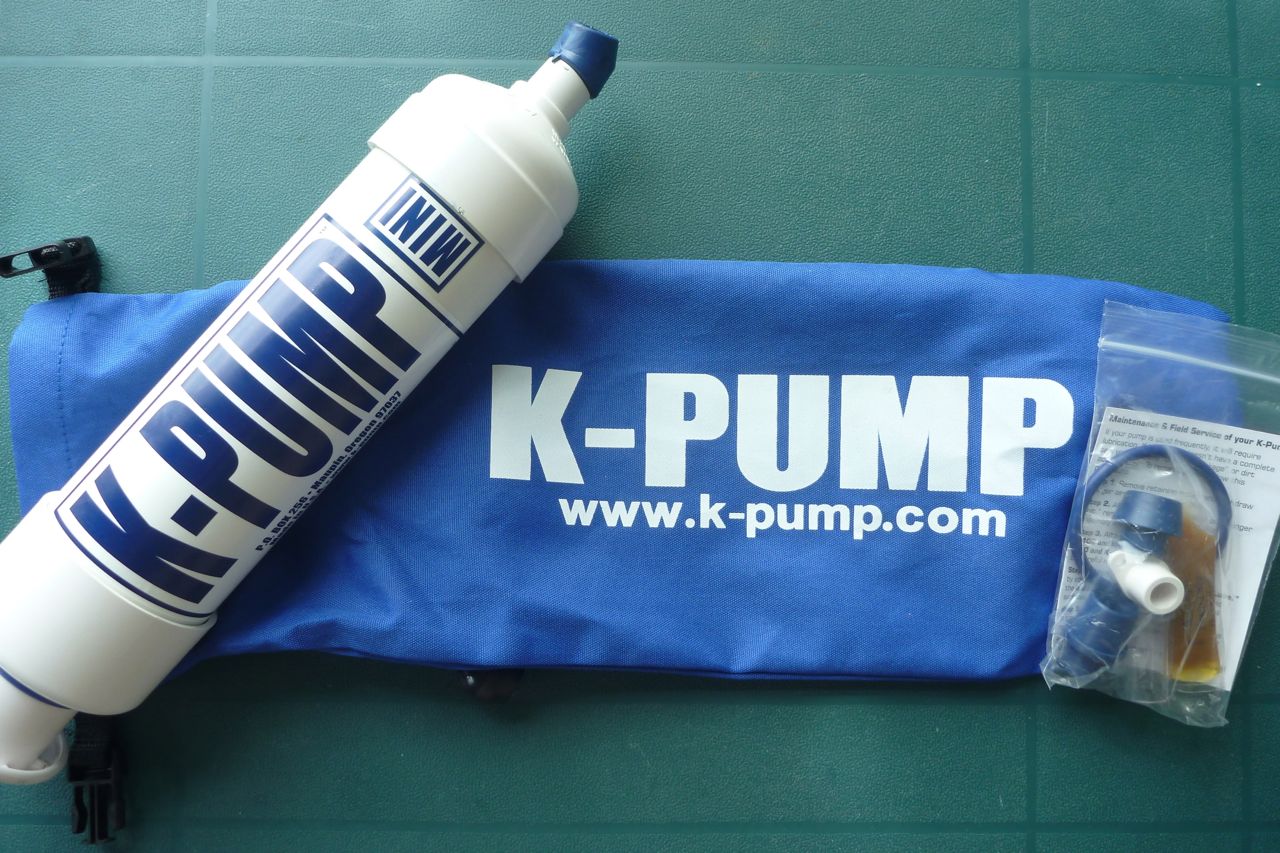
On the west side, under a wave-carved overhang (left) I hopped out to temper the MRS again. I like an inflatable as firm as possible but am finding, perhaps due to its larger than normal volume for a non-pump inflatable, that the S1 commonly needs a second pump up a few minutes in. I’m now wondering if something about half the size or volume of my 600-g K-Pump Mini would be handy to get the Nomad up to operating pressure in one go. This eBay pump (right) cost me just 3 quid posted and is actually similar to the mini pump Alpacka initially offered with their $2000 Alpackalypse. With a pump like this, after high-volume air-bagging, you could judiciously pump to a highish pressure on the shore – assuming the cheapo eBay pump can hack it. Yes, a pump’s another thing to carry/lose and the comparatively bulky K-Pump will do the job in a few short strokes. But unlike a paddle, it’s not ‘mission critical’, as they say in the movies.
Fitting a PRV and being able to pump away until the PRV purged (as I do with my Seawave IK) would be even easier, because you could also happily leave the boat out on a hot beach without fear of it exploding into a thousand ribbons of ruptured TPU. PRVs are unknown on packrafts so maybe I’m over-thinking it, but double-tempering is a bit of a faff even if, as humans go, I have a good pair of nicotine-free lungs.
Anyway, I padded southwards, weaving among the lifeless yachts and cruisers, reminding me of our Hayling Island paddle last summer. Let me tell you, in this world there are a lot of massively under-used boats bobbing around and gathering algae. Once past a sinister big black tug, the bay opened out and I was in the clear. Nearby, alongside a jetty below a cliff leading to a dwelling hidden in the bush, I spotted this pioneering-era carving.
Beyond here the shore looked oddly mangrovey and inaccessible. Mangroves this far south at nearly 37°? I’d only ever seen then around Darwin where I’d once eaten a so-called oolie worm which feeds in their trunks. Sure enough, turns out hereabouts is the southermost extent of mangroves. I’m not so keen on this sort of drab coastline, but live and let alternative lifeforms live, I suppose. In fact it was fun to probe the passages below the shady groves as it was due to reach 30°C today.
It took a bit more idle nosing about before I finally located the channel leading southeast to the two small rivers which fed the harbour inlet. The channel narrowed as the supposedly slack tide swept me into the tangled maze of salt-loving woodland. Curving left and right, south and east, as the scaly boughs closed in, it occurred to me that this far down in the bay wouldn’t be a great place to get lost and then stranded in thigh-deep, oolie-ridden silt for the next few hours. Who knows how quick the tide turns. Anticipating this, I’d clocked a hilltop landmark over on the western hills to help orientate myself, then pushed on in as far as I dared, getting maybe 500m from shore before spinning around into the still-rising tide and scuttling back out into the open.
The tide really ought to have turned by now, carrying me back the way I’d come, but the forecast nor’westerly was on time and in my face. Luckily the Nomad’s generous stub nose stopped me making a mockery of the harbour’s 5-knot limit so it was a long hour’s slog back to the harbour mouth, bent against the breeze and slapping waves. A similarly windy afternoon on the Wairoa River a few days back must have got me into paddling shape, so the effort was all put down to good exercise. Once past the marina, I’d hoped to slip below the jetty, under the harbour master’s cabin and out into Mercury Bay itself. Maybe cruise below Shakespeare Cliffs and then land on Buffalo Beach, like a proper Pacific navigator. But it was not to be. Chances are I’d have just embarrassed myself, tumbling through the surf and into the shore fishermen’s barbed hooks.
My time was up in NZ. Next day, rolling my cleverly adapted UDB (more below) to the bus stop, all was as calm as a kiwi’s cozy nest. I was reminded how sea kayakers must feel when they haul all the way up to the Summer Isles to be met by tent-bothering gales, only to find great conditions as they pack up. It’ll be there next time and for sure the east side of the Coromandel looks like the fantastic place for some fabulous sea paddling. The beachside hostel I stayed at laid on hefty old SoTs for free and there were plenty of kayak touring outfits in town and around. Give it a go if you ever find yourself down here.
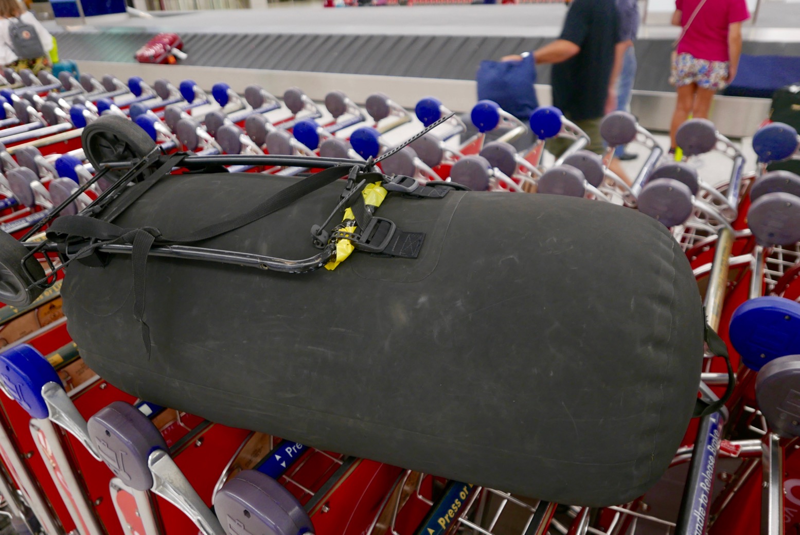
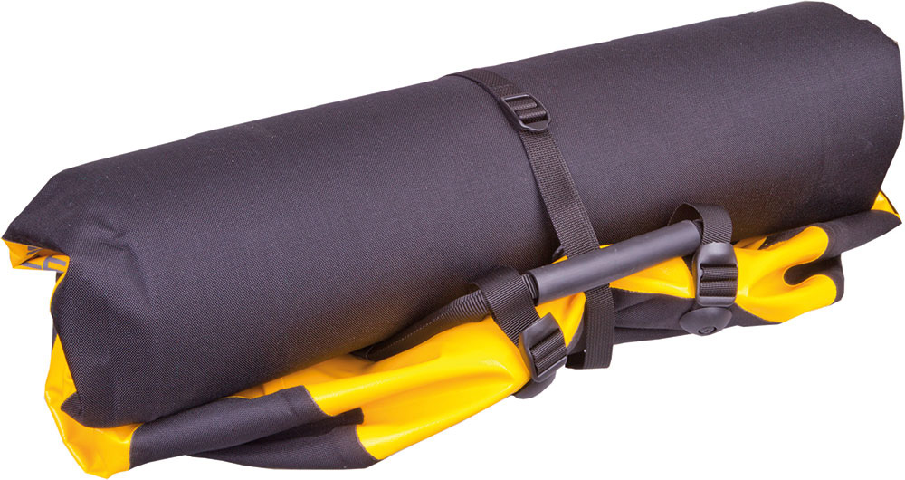
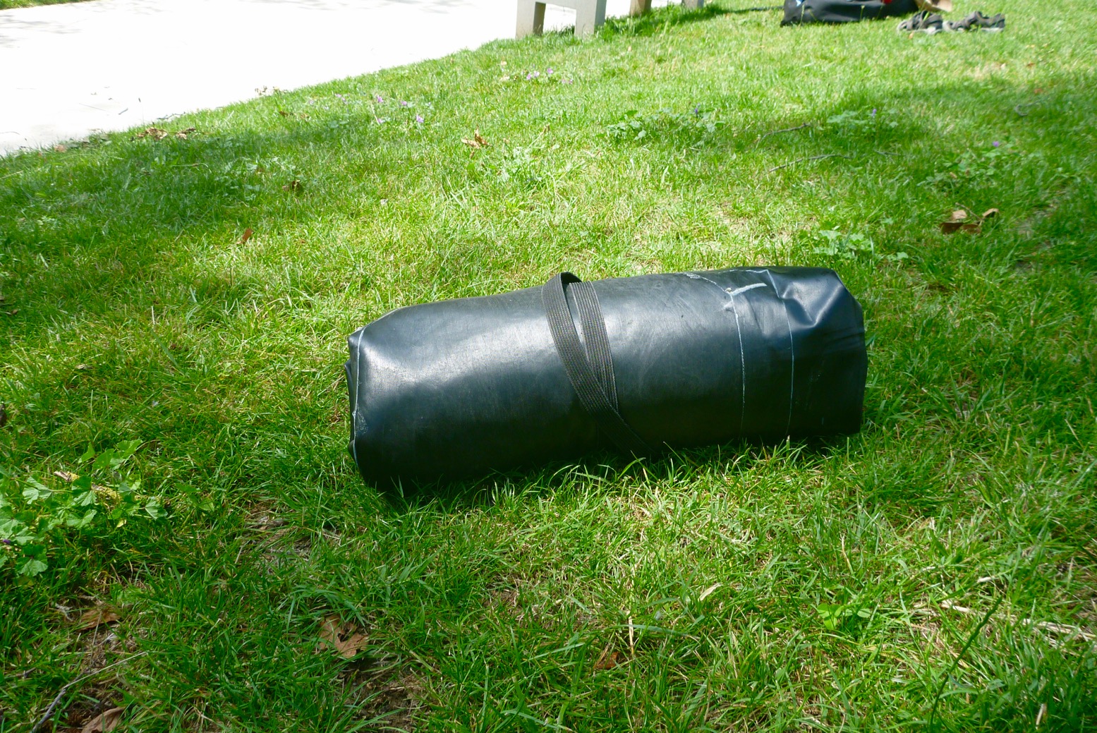
For this trip moving from airport to airport and in a bid to spare my creaking back, I mated my trusty Watershed UDB to a chopped-down lightweight folding trolley I’ve used on previous packboating trips. With chunky zip ties and a strap, the shortened frame fitted securely to the rugged UDB’s back harness tabs. My load was way under the airline limit, but the thinking was that, once packboating my planned river for a few days, the UDB and small trolley would still be compact, compared to a regular wheeled travel bag. It was all a way of stopping myself buying the painfully pricey but actually only 500g heavier Ortlieb Duffle RS 140 I’ve been eyeing up. Fitted with an IP67 TiZip (not as good as the UDB’s brass drysuit zip), it’s the biggest one they do, so ought to take my Seawave IK and gear. Lacking a backbone frame of Ort’s RG duffles, the 140 actually rolls up even smaller (right) than my DIY contraption. A handy side benefit (which might also apply to the airtight Ortlieb), was that being able to inflate my UDB into a rigid airtight sausage made it easier to wheel around (but not as comfy as a full-framed wheel bag). I got some odd looks giving my bag a blow job by the arrivals luggage carousel, because at departure check-in I had to tug the zip open a bit to ensure it would air-off safely at 32,000 feet. In my hand I carried my nifty Ortlieb 30-L Travel Zip.
The MRS Nomad S1 I tested last summer in Scotland is my new packraft. Goodbye to my great little Alpacka Yak. Like the Yak before, it held its value and I sure got my money’s worth out of it over 4 years. The Nomad is an unusually long packraft with a central seat, making it more of a packyak which paddles much like a short IK (no yawing), has more space and weighs under 5kg with a roll-back skirt and thigh braces. So – easy to walk with for as long as you like.
I’d originally planned the classic North Island paddle: the canoe-able and therefore safely packraftable Whanganui River in the southwest. The best section is a 5- or 3-day-with-huts run for which you need to be self-sufficient as there are no towns, let alone roads or bridges until you take out at Pikiriki. I was set up for that, but it turned out getting to the remote Whakahoro put-in, then from Piki back to Auckland for my plane took more time than I’d allowed myself, once my flights got rescheduled. No worries, this in New Zealand: international nexus for outdoor activities. I’d had a bike test arranged at Tauranga on the North Island’s Bay of Plenty, so decided to stick around that region instead of watching days pass by from a bus window.
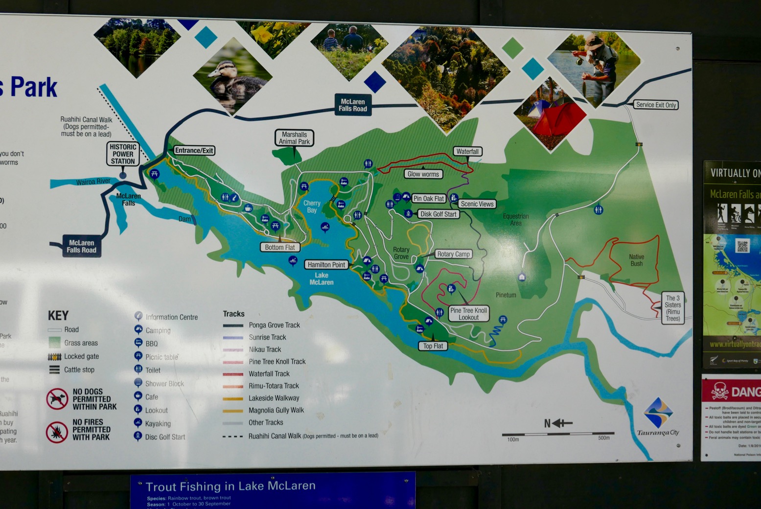
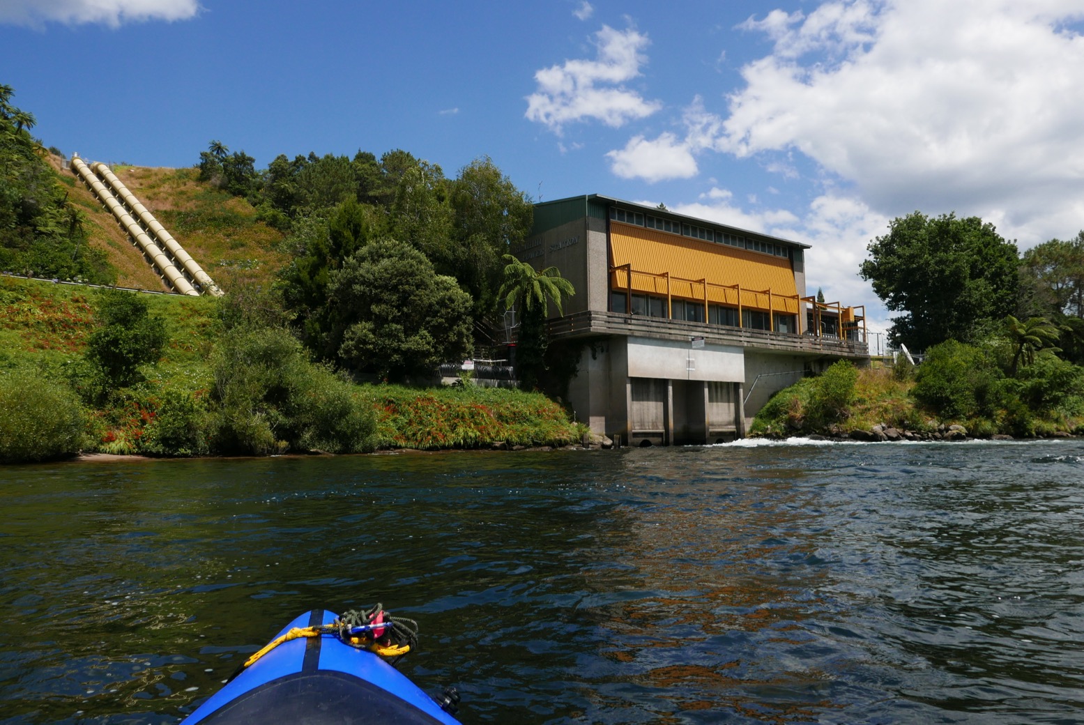
A brochure at the hostel proposed evening kayaking up a glow-worm gorge off Lake McLaren, 20kms south of town. Even in daylight that sounded fun, so I taxied over and planned to walk and paddle back. Lake McLaren is a country park (left) with forest trails spread around a small reservoir and an old power station by a waterfall. A good place to reacclimatise myself with the S1 as a quick spin in Sydney a week earlier showed up a crease mid-hull which suggested a slow puncture or just the usual ‘is-it-a-bit-soft?’ neurosis combined with too much fine dining.
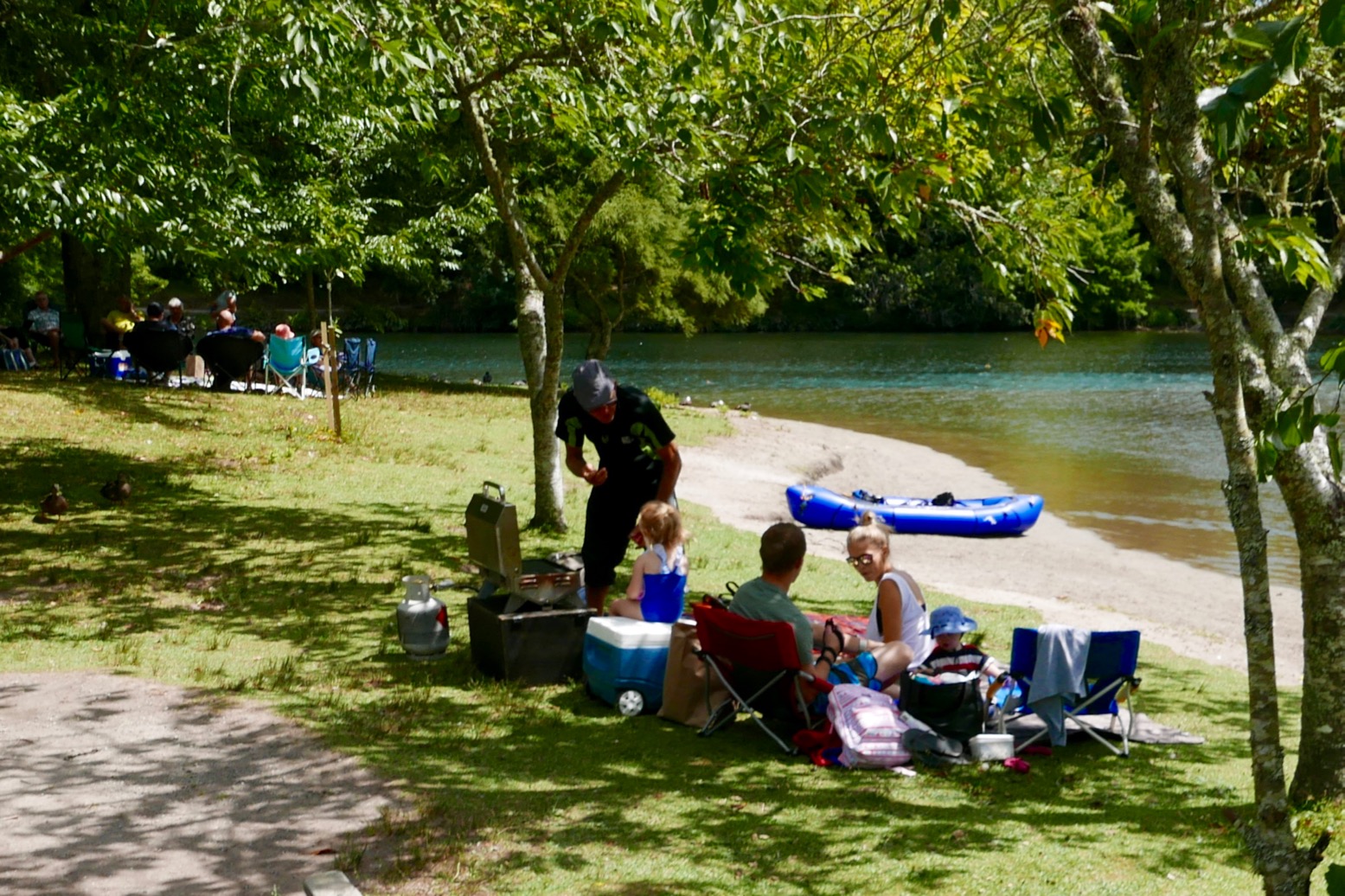
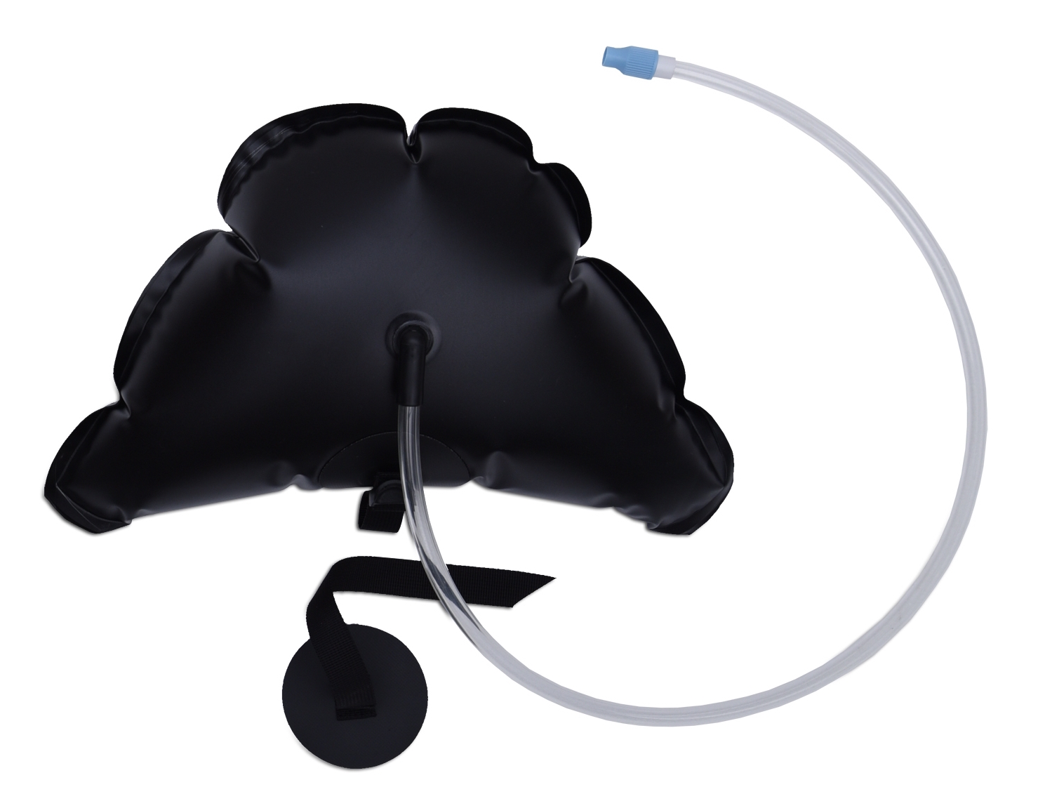
The boat was tempered and inflated to the max with my patented IAT (inflation assist tube; right). With the yellow hose you’re able to do a much better puff than just with your mouth on the Boston valve. I paddled my way round to the glowworm gorge inlet where families where feeding the ducks and enjoying Waitangi Day picnics. But the gorge stream was barely deep enough to float a duck and my quick foot-recce didn’t go far enough. If there was a paddleable pool up there, it was probably tiny. So I settled for cruising about the lake a bit and force-feeding more air where it wouldn’t go. I didn’t recall any hull creases when I tried the S1 last summer. And I’m sure the seat was suspended off the floor which spreads the load better, rather than pressing on the floor. Anyway, no leaks on this boat.
From the park it was a 6km walk back along the main road to rejoin the river at the newer Ruahihi power station. Between the park and Ruahihi I presume the lake’s output gets diverted through pipelines, baring occasional releases for the white water brigade. Having appraised the range of Newzealandish roadside detritus, just by the station I slithered down a steep bank thick with red flowers (left) and reinflated.
A nice current kicked out of the power station’s bores and I set off for the 12km run to a water park by a road bridge west of Tauranga. It would be nice to report the Wairoa was a magical paddle. Giant, palm-like fern trees certainly give NZ’s lush, English-looking countryside an other-worldly, Jurassic quality. It’s no coincidence that just down the road they’ve renamed a town Hobbiton (below) in honour of the movie filmed there.
The Wairoa might make a nice afternoon’s flatwater canoeing, but I do miss a bit of easy Massifianeau vivant. Youtube vids suggested the Whanganui has some rapids fit to tip beginners’ canoe, but here all I got was the cooling breeze which developed into an annoying headwind. I put my head down and dug away, on the way passing a clifftop tree (left) which surely must be one good deluge away from crashing down into the river.
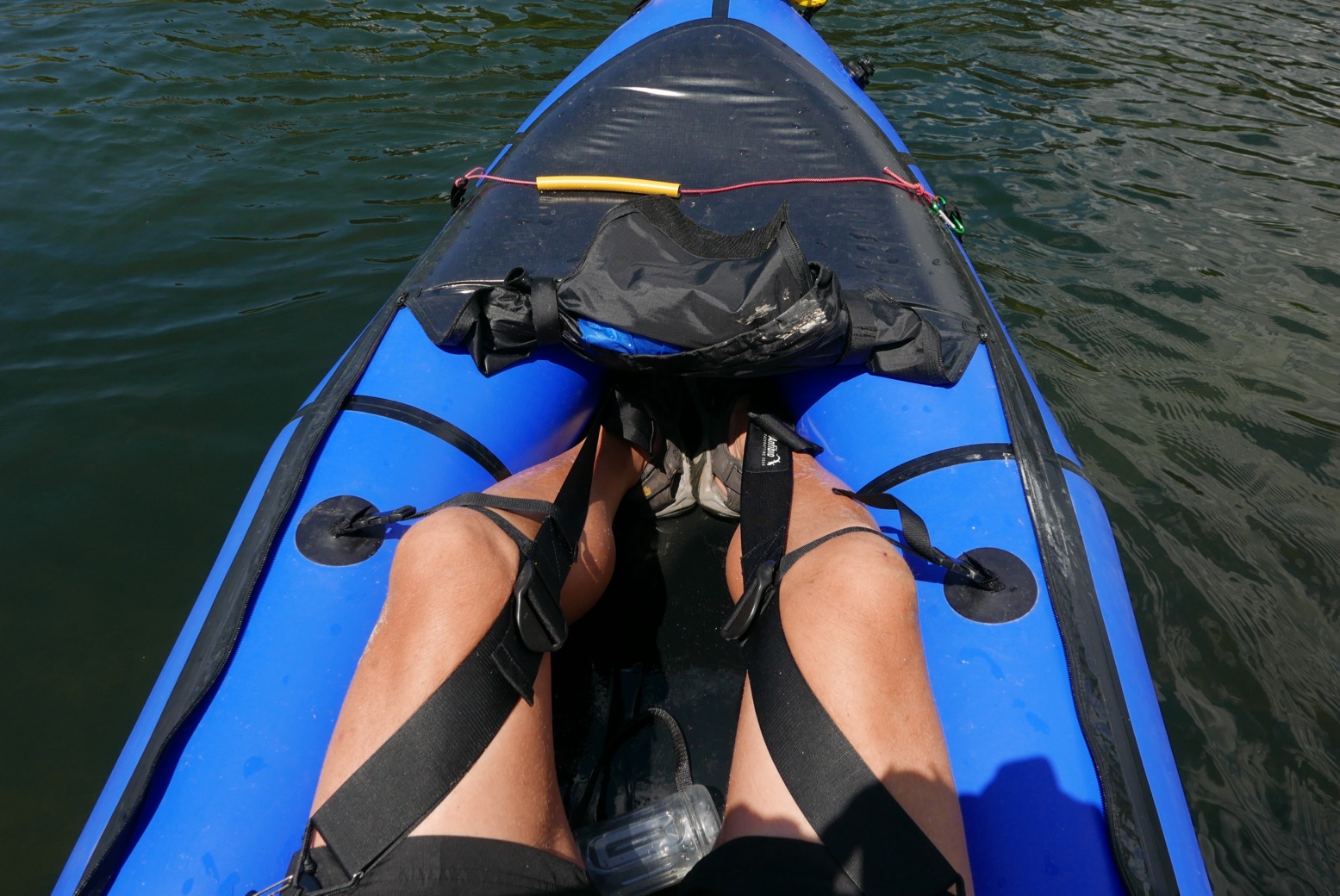
I may have skipped lunch and haven’t padded since the summer, but I was getting more tired than I should be. Something felt off with the seating and bracing set-up meaning I wasn’t relaxed. One problem with the mid-seated Nomad (or any packraft much longer than 130cm inside) is that you can’t jam yourself in, back-to-foot, leaning on the stern with the feet braced against the bow. The Packrafting Store included Anfibio knee braces which, after some adjustment, improved things a bit, but wasn’t as good as bow-braced feet. I see the Store are now selling an MRS footrest for €30 (right) which shortens the distance by six inches or so. I’ve since fitted one, improving bracing and comfort.
A jet ski shot by up river, kicking up some welcome wake. Then a paddle boarder passed by and a group getting merry on a motor pontoon. It had been over two hours now so I asked a bank-side dog lady how far to the water park ’Oh it’s a few kilometres’. Surely not. I pulled over and, clinging to a moored boat against the wind, fired up the GPS. That’s more like it – not so far at all.
Soon there were kids churning along on pedallo-powered water slides, SoTs, giant inflatable silliness and a water chute hurling screaming infants into the river. What better way to spend Waitangi Day. Beyond, traffic rumbled over the road bridge and before that, a steep tidal bank lead up to a nicely mowed lawn for a dry-off during a bit of a lie-down. One-fifty minutes for 12 clicks – not so bad considering it felt like dog water much of the way.
From here it was a 7-km hike through Tauranga’s affluent suburbs back to the hostel. On the way, a supermarket called me like a siren: ‘Food… Foooood, large amounts’. Once out, I’d didn’t even re-park my trundler (as trolleys are called here) before gorging myself on a pain-au-choc, peaches and yoghurts. The rest of the shopping for the evening meal nicely balanced my paddle for the long walk back.
Finally I got to try this SUP-ing everyone’s so crazy about, on a recreational inlet in north Sydney. Ideally it should have been an iSUP to satisfy the strict submission criteria of IK&P, but among the user-owners and rental places on Sydney’s northern beaches, it seems carrying or stacking your oversized ironing board to the beach or lake is no great hardship.
I would guess mine was a beginner’s round-nosed planing board of around 10 feet by 30 inches wide. I read later this was a little under-buoyant for my weight, but I can’t say it felt like that, or looks so in the photos. You read a lot about how SUPing is a good work-out for the core (stomach) muscles. Thirty minutes of flat-out SUPing a day for two or three years will turn a wobbling belly barrel into a granite-hard six-pack. But initially, I found it was my feet and thighs which felt over-worked from micro-managing my tippiness, though any balancing exercises must be a good way of working the core. Conditions were a light breeze topping out at a 2-3 inch swell and, just as with kayaking, it felt a lot more satisfying padding into a slight breeze than having it behind you, right up to the point it becomes a headwind. I don’t have acrobatic levels of balance but I was determined not to fall in so edged off the shore very slowly. I only fell off when the skeg snagged a tree root in the shallows. It sounds like I got off a lot better than Gael did, learning to iSUP on his marlin-nosed racer in Sardinia. Half an hour in I got over the initial wobbliness and, like all inveterate hoons, decided to see how fast will it go (mister). Who knows if I was doing it right, but I found a knee-dip just prior to putting in a good draw close to the board before standing back up straight and pulling back felt right. It would’ve been fun to try a couple hours of this. Note the bend in the long stick in some pictures.
I did experiment with canoe-style J-stroking, where you give the end of each stroke a little outward scoop to counteract the tendency of the board to turn off course. But I can’t say it worked which is why most SUPers you’ll see swap sides every three or four strokes to track straight. It’s fun to stand like a fully-fledged, chest-beating biped, but seeing as you need near-flat water I can’t see a SUP board being an irresistible travel tool as a packraft or IK are. On more turbulent waters falling in would be more common, which means away from the Mediterranean conditions I was padding in, you’d need to dress for immersion. Who wants the if they can help it? Still, I’d like to give it a good go unhampered by the ticking of the rental metre. On eBay new iSUPs go from 150 quid, with quality used ones from £350. As with a lot of recreational stuff, buying used you can put in the time at your convenience to get a good idea for SUPing, then sell it for less than the rental hours, if it’s not for you. I must say I would be more attracted to owning a longer and pointier iSUP board (below), as Gael A writes about here. And then probably regret it once I failed to stay on it. So for the moment, I think I’m happy to carry on renting when the opportunity arises.
In 2005 the Dordogne and nearby Vezere were my first multi-day rivers in my Sunny IK, all helped by the discovery of the inspiring White Water Massif Central guidebook. The Dordogne was a good choice but to be honest, a bit easy. Ready for something un peu plussportif, I’d got it into my head from that book that the Ardeche was too hardcore, so I’d be better off on the less famous Allier between Chapeauroux and Brioude (big map, above).
Gumotex IC and IKs paddling pros on the Allier, 2025. And they al trained back from Brioude – respect!
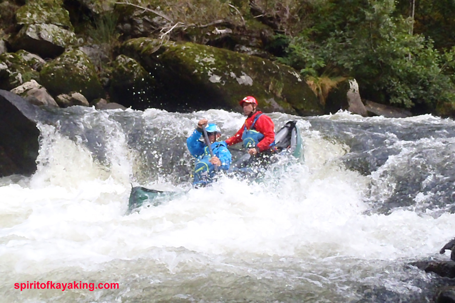
In fact, as you can read here (admittedly at twice the normal summer flow; video too, as well as the video above), parts of Allier can get tricky (left; a plastic canoe folded against a rock). Even though a railway carves and tunnels right along the gorge, on the first two days from Chapeauroux there are places where the rapids come at you fast and with no easy way out of the gorge if you get in trouble. Over the years stranded paddlers have been rescued by helicopter.
Not fully comprehending all this, in June 2006 I set off from Chapeauroux in my Sunny, and at the very first bend was flapping about like a salmon with a seizure, trying to stay on track. It went on like that for a while, then eased up and actually got quite pleasant by the time I reached Alleyras for the night. This was more like it; a wild river rather than the broad Dordogne lined with droning pumps irrigating the adjacent farmland.
Next morning a taxi transported me past the then-closed section dodging the Poutes dam below Alleyras (more below) and dropped me at Monistrol. Here again I failed to fully appreciate the greater challenges immediately ahead, even if the guidebook was clear: great fun in a creekboat, but an open canoe will fill up on the longer rapids. And if I didn’t know it then, I sure do now: the white water abilities of open canoes and IKs are closely matched, while IKs might easier to control for beginners (like me).
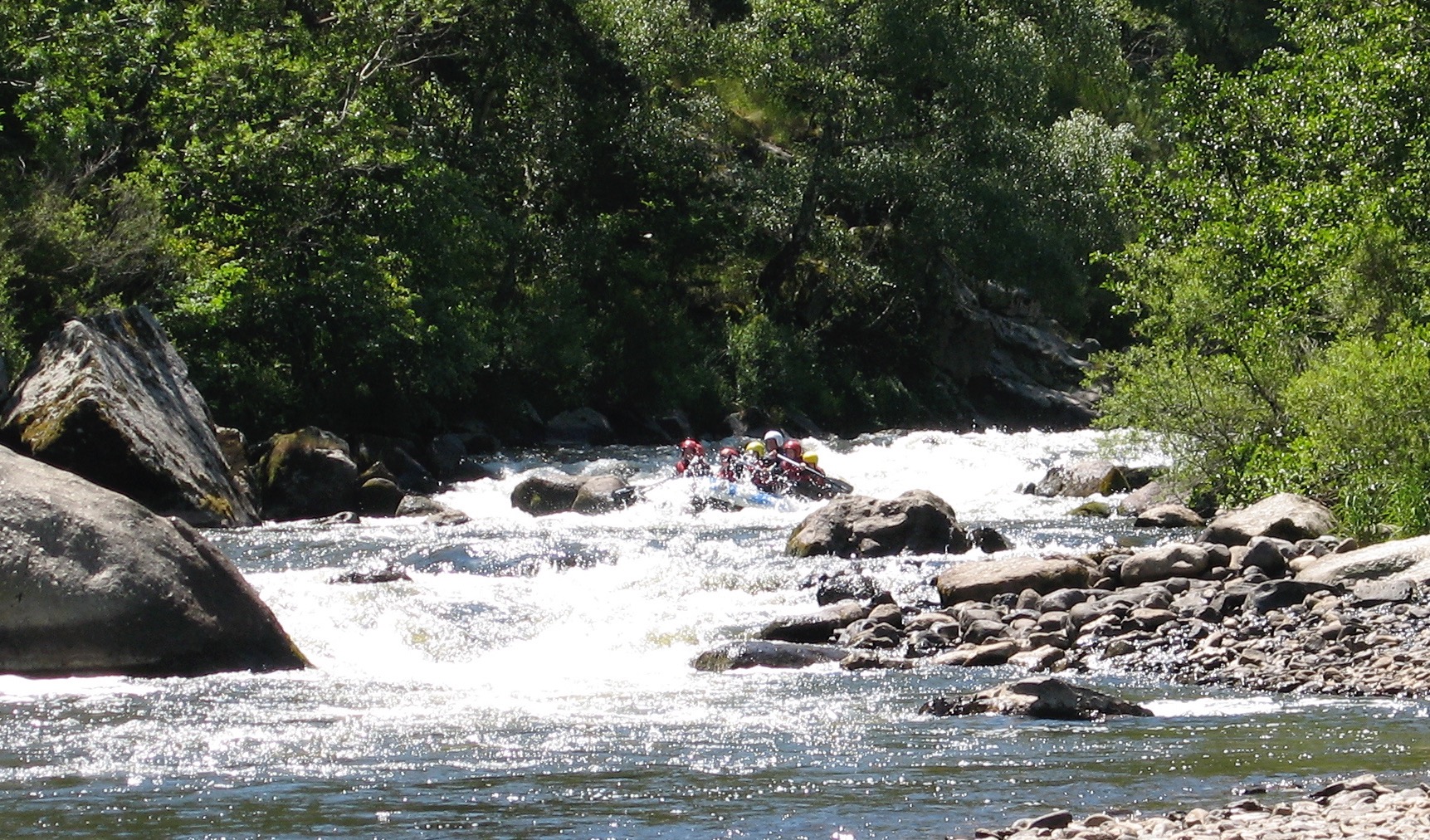
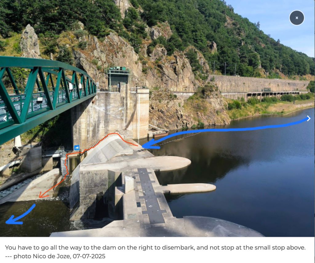
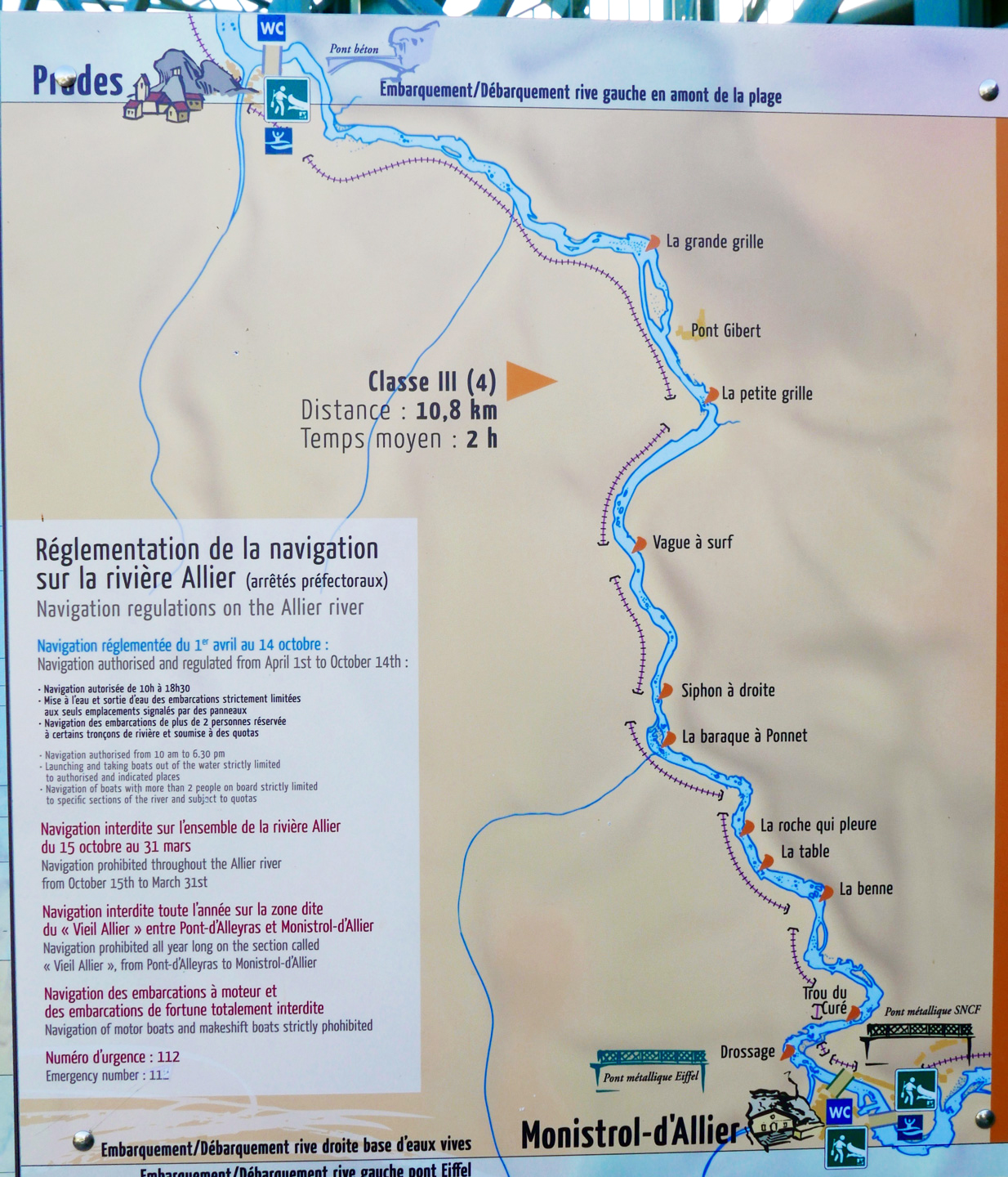
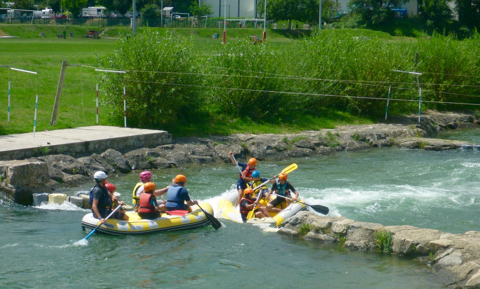
This Monistrol stage is run by commercial rafting trips (above), also a telling sign about the nature of this part of the river. I scraped through that day, exiting a few rapids with a boat full of water, and on one ending up swimming alongside it. Looking back, I’m pretty sure this was the exit of ‘La Barraque au Ponnet‘ (KM3.5; more below) with that raft above coming through soon after I stopped. It was all a bit of a shock.
Unless you’re confident, I’d suggest not following my example in doing this section alone. Consider a recce in the commercial raft if there’s one going that day, or ask if you can tag along for safety.Or find some paddle pals.
A few kilometres before Prades (KM12 from Monistrol) it all becomes less of a white-knuckle ride, and what followed all the way to the Brioude take-out were fun, Grade 2 rapids and a couple of thought-provoking chutes or easy portages. All manageable in open packboats. As you approach Brioude on the last day, the paddling eases right up so that you start harking back for a bit of eaux vivants.
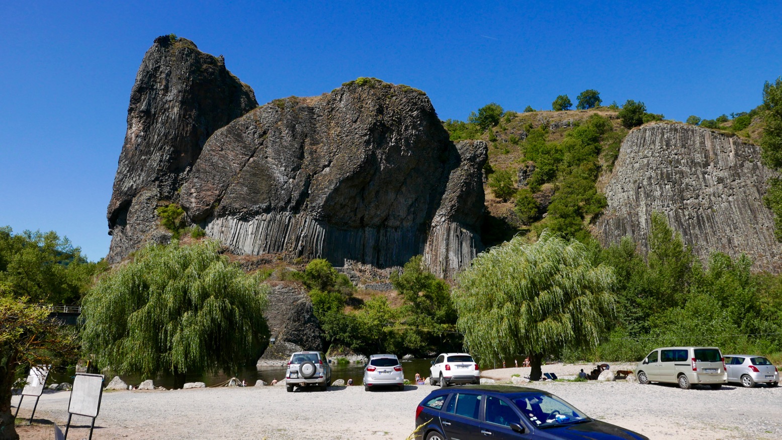
All along what they now call ‘one of Europe’s last wild rivers’ you’ll pass many striking outcrops of columnar basalt as well as pretty villages (like Chilhac, below) with adjacent campsites, boulangeries, quaint hotels – and not a chain store to be seen. Like the better known Ardeche and Tarn, the Allier is another Massif classic, still distinctively scenic but with non of the nose-to-tail traffic during busy holiday periods.
Getting there Although the daily trains aren’t frequent, with riverside stations at Brioude, Langeac, Monistrol, Alleyras and Chapeauroux, the Allier (left) is easy to get to with packboats. First, Easyjet yourself to Lyon, or Ryanair-it to Nimes or Clermont, two cities which are also linked by the scenic Ligne des Cévennes rail line (below). Brioude is an hour south of Clermont, and Chapeauroux is two hours over the hills from Nimes. Between them, Brioude and Chapeauroux span the scenic and paddleable 88-km section of the Allier.
One thing worth considering if you’re unsure about the half-day Grade 3+ Monistrol–Prades section, is coming up on the train from Brioude or Langeac. It passes right above the gorge where you get a good view of the Barraque au Ponnet and a few seconds later the ‘Roche qui Pleure’ drop a few hundred metres upstream (left; Gumotex Scout canoe). I’m sure glad I looked when I came back years later.
In 2018 I returned to the Allier, this time with a packraft. I flew to Lyon (cheaper and more frequent than last-minute Ryanair), caught the train via Clermont to Brioude (5hrs), and next day caught the first train to Monistrol (left). I planned to miss out the Chapearoux–Alleyras stage to save time and the taxi faff around the dam**. It left me three days to cover about 70 paddling kilometres back to Brioude.
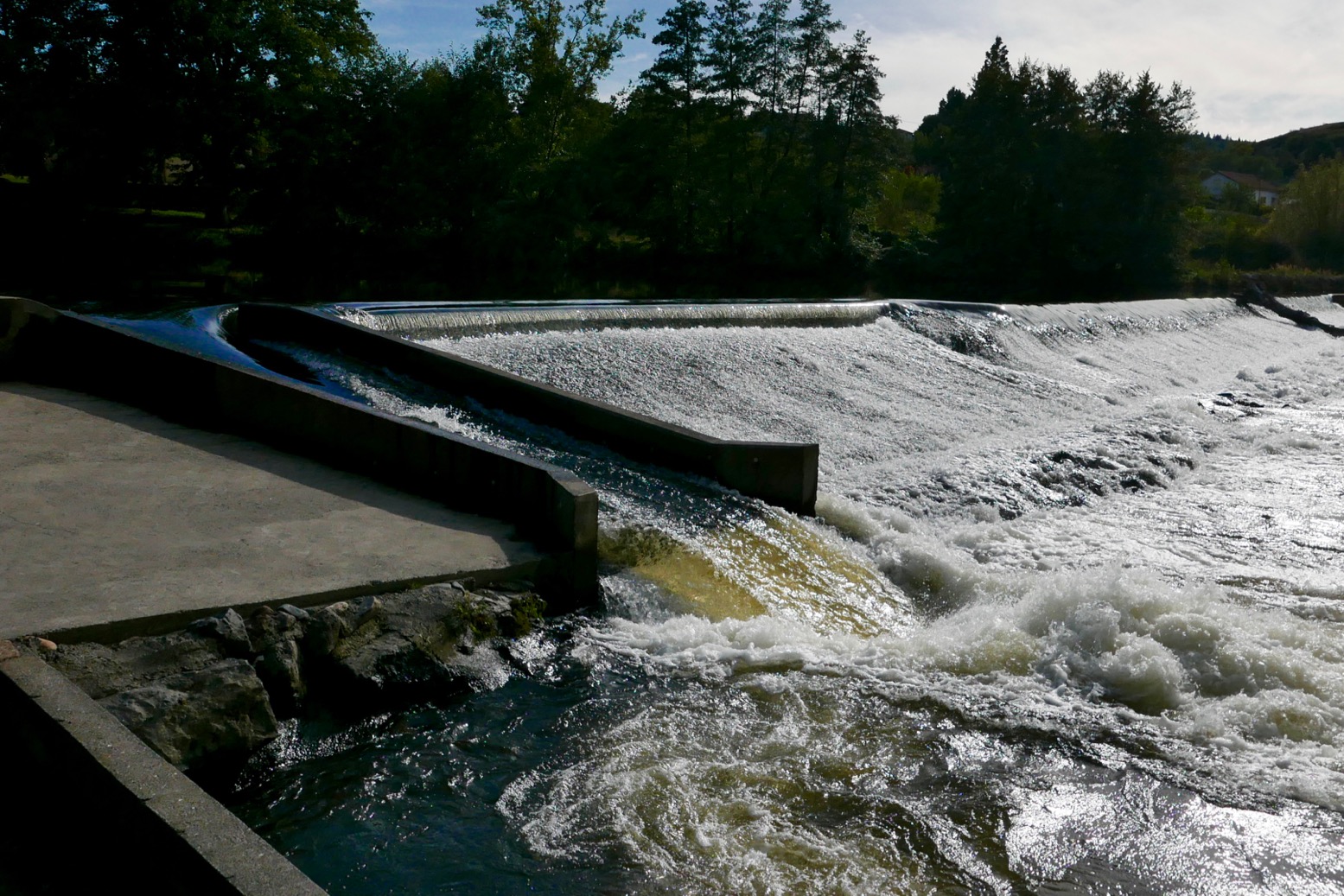
Poutes Dam **Since around 2021 (click ‘P5’) the long-closed section between Alleyras and Monistrol reopened to paddlers, with a portage around the new Poutes dam (below), 3.5km from Alleyras station (the train line crosses the river right in front of it). See the video link above. As part of the Allier resalmonification programme, the dam was lowered by 10 metres d and fitted with a ‘ladder’ to help the fish get upstream and propagate – plus give anglers something to do. Local environmentalists fought a long battle to get this done.
The train heading upstream passed right in front of the Brioude weir (left) where I’d be taking out in a couple of days. The line then rejoins the Allier at Langeac before heading for Monistrol. Soon it enters the wild gorge and looking down at the rapids below I thought… ‘Hang on a minute!’ which, a rapid or two later escalated to ‘WTjoF!?’.
I recall being unnerved in 2006, but I’m sure they didn’t look this gnarly. I realised later that the first 100-m white plume was ‘Le Barraque au Ponnet’, easily recognisable on aerial maps. The other was ‘La Roche Qui Pleure’ – two of the plus fruitif chutes on this stage (map below left).
I got off at Monistrol, scoffed a petit dej at a deserted hotel and wandered around town wondering what to do. The river didn’t seem higher than normal; perhaps it was low back in June 2006 when I came through in the Gumboat? Either way, thanks to my train preview this stage seemed a bit too ripe for me; the Yak would be spilling over long before I was halfway through ‘Le Ponnet’.
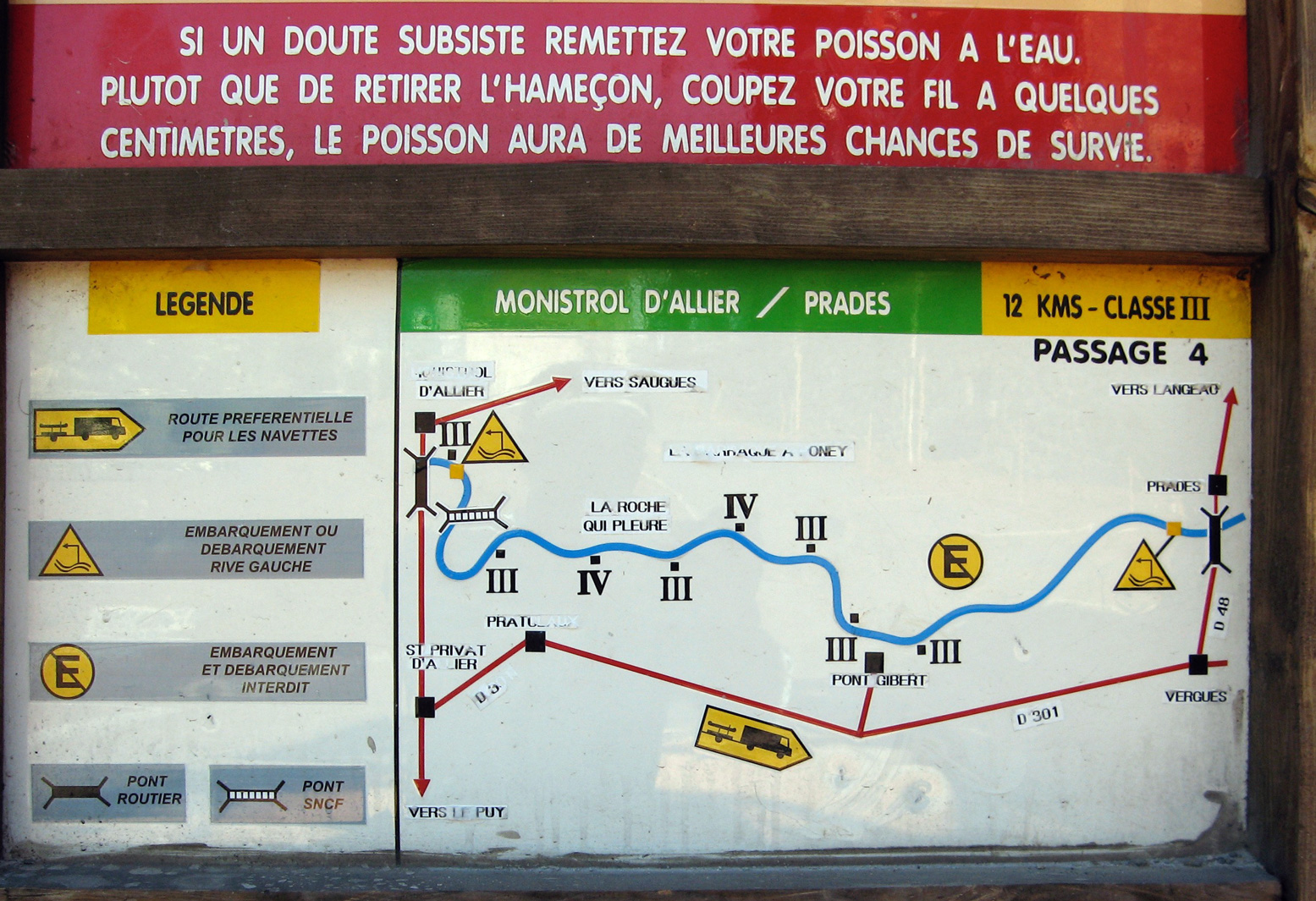
For a while I actually wondered if I was suffering from false memory syndrome from 2006 and might have cause to claim compensation if I could find the right lawyer. But I definitely recall the old Monistrol hydro plant (right) and my photo record shows I took the picture of the board below at 9.03 and arrived at Prades beach by 1pm, invigorated but not inordinately traumatised. River pictures were few back then in that pre-wet camera era.
Later, trying to work out what was different (other than my aged nerves), I wondered if I’d just glanced down on Le Ponnet during a particularly hearty pulse of dam-released water? Looking at the vigicrues website later, the flow graph for that day (at Prades) does show it was high as I passed by around 8am – before dropping six inches around midday. I knew from the Tarn earlier this summer that following a stormy night, a six-inch rise makes a difference – it speeds up the flow but can also smother stony rapids and make them easier. The pulsed releases every 8 hours are the lumpy pattern you can see along the bottom of the graph below for the days before and after I came through. As you can tell, I am bending over backwards trying to find ways to rationalise my new-found timidity! Above left: from the Eiffel bridge in town, you can see the first rapid (looking back upstream). Like the book says: if you don’t like how this or the next couple of runs look, turn back. Otherwise – strap in for the ride!
Annoyingly, my GPS with good maps was at the menders. I took a look off a passing trekker’s map (Monistrol is on the GR65 Santiago trail) but at 1:100k, I was none the wiser. I’d have needed a 1:25k map to find any viable paths along the gorge.
La Benne?
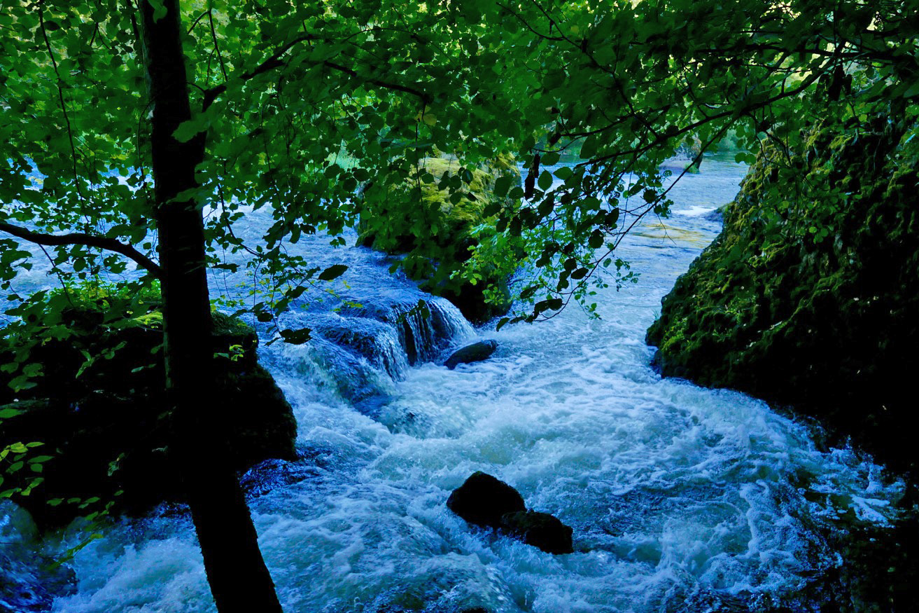
In the end I decided to follow a path by the bridge on the right side of the river, signed: ‘Viaduct, 1 hr’. It might continue along or above the gorge to a point where I could put in with the worst behind me. If it didn’t I could turn back and hitch or bus – or if desperate, clamber uphill to the D301 backroad to Prades. And that is what I did, but not without a huge amount of effort. Initially, the path followed the riverbank, passing a few Grade 3s (above, probably ‘La Benne’; KM1.8) which would have swamped my Yak like hot ‘creme anglais’ over a freshly baked rhubarb crumble.
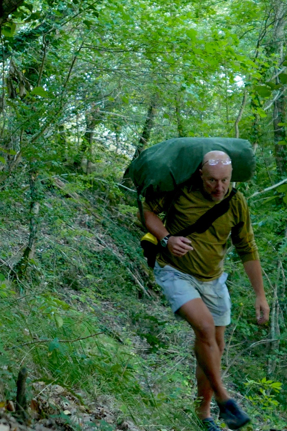
Some three hours later, high above the valley and heading for dehydration (33°C in Brioude that day), I gave up trying to follow a path. Fallen trees, brambles, scree slopes, an intermittent path and the 1:1 slope all took their toll. After an aborted attempt climbing a loose cliff, I managed to hack my way uphill and emerged a sweaty mess on the D310 backroad, looking like I’d just escaped from a teenage slasher movie. Scratched, bitten, stung and grazed to buggery, I’d covered 3km in three hours.
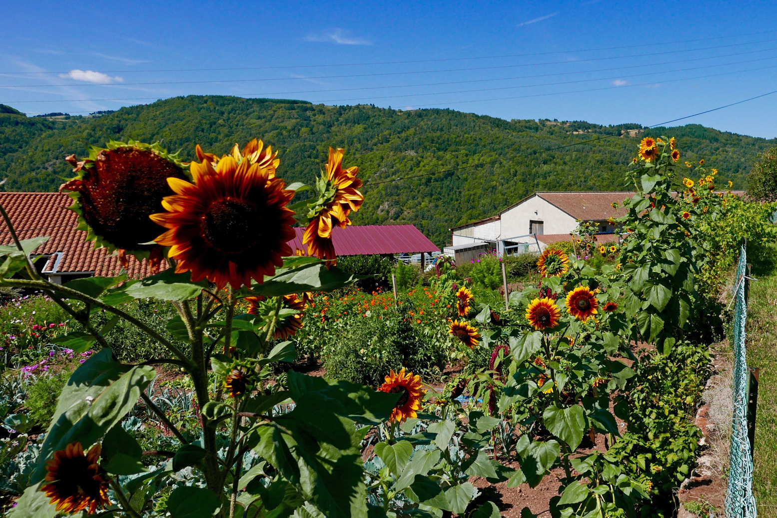
I washed in a cattle trough and passed through the sunflower hamlets of Conaquet and Conac, before splitting left down a side track and path leading back downhill, hopefully to rejoin the river below any enraged torrents.
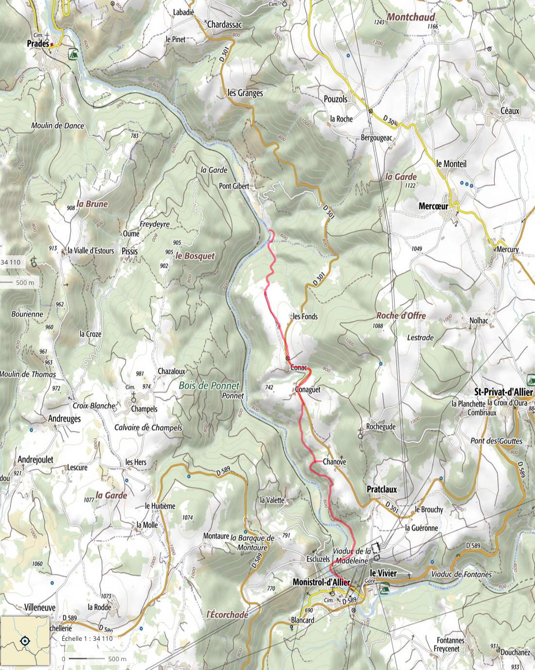
This it did, just before Pont Gilbert and just below ‘La Petite Grille’, by chance nearly the last (and easy-looking) rapid, 8 river-kms from Monistrol. Although it didn’t feel like it at the time, this turned out to be pretty darn good route-finding without a map (left).
At one point earlier, while thrashing through the bush or teetering across scree slopes, I heard the telltale whoops of hyper-excited rafters far below. I realised that’s what I should have done: taken the fun option in a big-arsed raft as far as Pont Gilbert (if they’d take me, with baggage). I’d seen signs for a rafting centre near Monistrol station, but the town was so quiet I assumed they’d closed for the season. It would have been a great way to punch through the big rapids without a care in the world. Picture above: the ‘Le Ponnet’ viaduct down below with the long ‘Barraque’ rapid starting just around the corner and ‘Roche qui Pleure’ laughing menacingly from behind the trees on the left.
Dropping the kit bag and setting up by the riverside below ‘La Petite Grille’, it had indeed become hot enough to grill a salmon, but once on the water it sure felt good to flop down and float away like a stray log. Just like in the wilds of northwest Scotland, if you have the choice: float, don’t walk. Obviously part of me wondered if I could have managed the gnarly rapids upstream in the Yak. After all, I’d clearly scraped through years ago in the Sunny (still hard to believe). With someone alongside I’d have been braver but I’d followed my gut and felt happy with that.
Watch Belgian packrafter Dzjow’s video below from 2014. He enjoyed the Monistrol stage so much he went back up on the train and did it again with GoPros rolling. Watching it, I’m glad I didn’t. From Monistrol starts at 1:57 and he shoots down ‘La ‘Roche qui Pleure’ (the image below) at 2:28, soon followed by ‘Barraque au Ponnet’ which starts at 2:34 (note the railway viaduct) and goes on for a while to the big rock (3:19) you’ll recognise on the left in the rafting pic, above. Dzjow was a hardcore adventuriste I’ve come across before. The following year he went on to do a self-admittedly tough and not so enjoyable trip in wild Patagonia. He hasn’t written about packrafting since.
After about 4km I pulled into Prades beach (below left). I needed salt and I needed drink. And while I was at it, what harm would a handmade mini quiche, some bacon crisps and a tartes aux framboises do? None at all, mon brave.
Now dizzyingly revived but still worn out by the morning’s commando course, I knew there was a bit of a drossage (great word) just around the corner, but it was all fun knowing a few others were playing around too, including SUPs. What is it with these SUPs? I’ve never seen them doing anything more than goof about in the shallows but rarely actually go anywhere, yet they’re clearly ten times more popular than IKs and Ps combined. What does that say about the state of post-industrial recreation in the developed world?
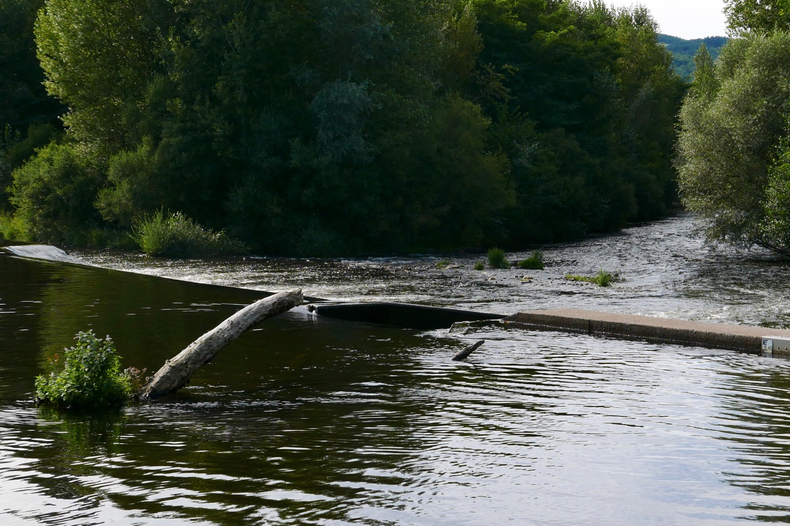
Unusually, I had a hotel booked at Reilhac, about 18km downriver, past Langeac. With just a couple of canoes on the water, the afternoon passed without drama, bar the odd wetting. But approaching Langeac, the din from the weir just before town was unusually intimidating. The canoe chute here (left) is well-known as being a bit of a drossage because it’s about 3 feet too short and so pumps a plume of water into a nasty backwave which not all boats can easily escape.
Spot the chute
And I do wish these Frenchies would mark the tops of their glissieres with two poles, indicating: ‘aimhere’. Above, show me the chute entry point while wearing a pair of sweat-smudged specs! Maybe the idea is by not having clear markers, paddlers slow down and look carefully. I did just that above and portaged round off a little beach on the right. I could not be arsed with hitting the churning pile to get catapulted over the bow like a 40-kilo sack of dried beetroots. I felt that no matter how far back I leaned, my short, light boat would plough ‘n’ flip, unlike a longer IK. Back in the water, I paddled on through early evening Langeac and an hour or so later was slumped on my Reilhac hotel bed.
The next day was just what I wanted; a short, easy run of just 13km, ending at the UNESCO-overlooked village of Lavoute Chilac where the charming Hotel des Pecheurs tottered on the slender gooseneck bluff above the Allier.
Three clicks downriver (6km from Langeac) was a double-drop weir-chute (below left). Easy enough providing you steer straight for the lower drop, but I walked it as I knew it would be a bailing job, and today was some 10 degrees cooler. Splish followed splosh followed splish down to Chillac (below, 11.5km from Langeac), another picture-perfect village sat atop a striking basalt plug with dreamy views over the Auvergnois countryside from the terrace by the church.
Half a click downstream from Chilac is an easy, short chute (left) on the far left. But once down it I realised the old weir passing below the mill on the right had pretty much been washed away, making the chute redundant and a fun ride down a long, shallow rapid. Clearly I was recovering my mojo if I was looking for some white water action again. Later, I read this weir has been flushed away for some years, but is another thing the new Canoe Trips,South of France guide had not updated.
Soon, the bluff of Lavoute Chilac rose into view. I pulled over left at the riverside park, let my gear dry, then walked into the village over the tall bridge (left). Les Pecheurs (white building on the right, below) was still on siesta, so I left the Yak by the steps and walked over to Le Prieure, the other creaky-stair hotel in the village, for a mouth-watering ‘Salade Auvergnate‘.
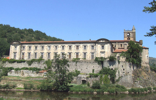
Wandering around the old church and the imposing, 18th-century facade of the abandoned priory (right, due for luxury flat conversion), I was staggered to see a July 1866 flood marker at the church’s back door. In the photo left my hotel room would have been submerged by a few metres. Perhaps the river’s acute 180-degree turn causes floodwaters to back up.
It’s the last day of my packrafting mini-break and by my estimates, I had about 22km of paddling, plus a 4km walk to Brioude station to catch the 4:10 to Lyon. I didn’t want to miss that so set off briskly, passing a canoeing couple (the only other boat I saw all day) until I could estimate my pace against a landmark. Before 11am I’d reached the bridge at Villeneuve meaning I’d covered 9.5 clicks in 80 minutes which gave me plenty of time. This Allier flows quicker than it looks.
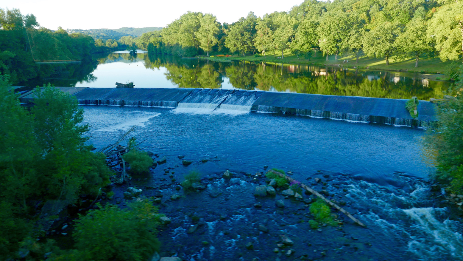
The book talks of another old weir to ‘shoot’ at Villeneuve campsite, but there’s nothing here except a ford with poles marking the car crossing. Many of the book’s ‘shoot an old weir’ descriptions are out of date. There’s rarely anything more than a line of rounded boulders and a drop of a few inches, making you wonder: ‘was that it?’ But at Ville Brioude, just before the tall bridge, the book suggests you can shoot a modern concrete weir (left). Good luck with that and those boulders lined along the base.
Finally I was back at the public beach below La Bargesse campsite (45.279097, 3.406962). Ahead was the big weir before the red brick rail bridge I’d crossed on the train a few days earlier (left). Here again the book now suggests ‘portage right’ and other convoluted options – perhaps a simple left/right mistake? Instead you simply take out at the grassy park, river left, walk over a little footbridge and put back in below the weir under the railway bridge and above a shallow rapid.
Once again, I’m amazed at the true amphibiousness of these packrafts, especially if not hauling camping gear on the trail. A long walk to dodge gnarly or closed stages is (potentially) easily done, even carrying an inappropriate kitbag. With plenty of time to catch my train, I dried off, got changed and walked over to Brioude for a coffee and cake in the town square below the basilica’s decorated tower. In the hills all around, the petrified volcanos and lush grassy valleys of the Auvergne countryside could easily sustain more exploring on foot, by pedal or with paddle.
Time to knock out a long-planned circumnavigation of Hayling Island near Portsmouth while this amazing summer lasts! P-Day came along and by chance, the weather and tides lined up: high 20s °C with a 3-m neap and a calm morning before a 10mph onshore afternoon breeze.
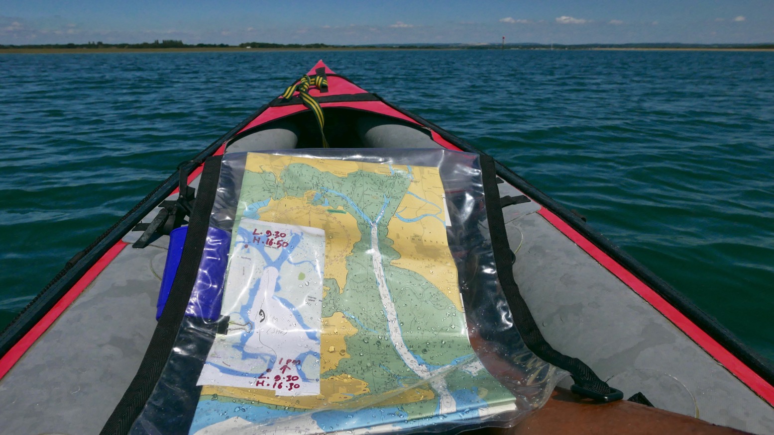
I’d ridden down and recce’d the harbour entrances a couple of years back and last year we’d tried to reach the harbour along the canal from Chichester, but that plan didn’t work out. You’ll find lots of useful descriptions online, but it pays to recall (as I learned on a run to Brighton) that on the English southeast coast the tide (which floods eastwards and ebbs to the west) turns eastwards from two hours before high water to four hours after. So while the water is still dropping the current reverses. The Brighton post explains it (and I’ve since found an interesting animatable graphic here) and it may also explain why we passed deserted beaches and got to turn north into Chichester harbour entrance surprisingly quickly, even if it was near calm. Occasionally a rogue wake rippled in from a distant freighter out in the English Channel.
It was soon clear that my estimation to cover this 22km lap was way too long. Shooting along the channels visible on the map above, mudbanks to left and right limited side exploration and we ended up under Hayling bridge (KM13.5) in just 2½ hours including lunch and a few drifts.
On the way we passed a lot of moss-covered sailing boats, lots of birds including oyster catchers (didn’t know you get them down south) and up nearer Northney marina, a brace of SoTs and a young couple struggling to control an under-inflated (or leaking) Sevy K2. Our high-pressure Seawave glided smugly by.
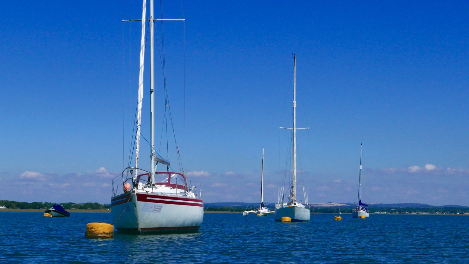
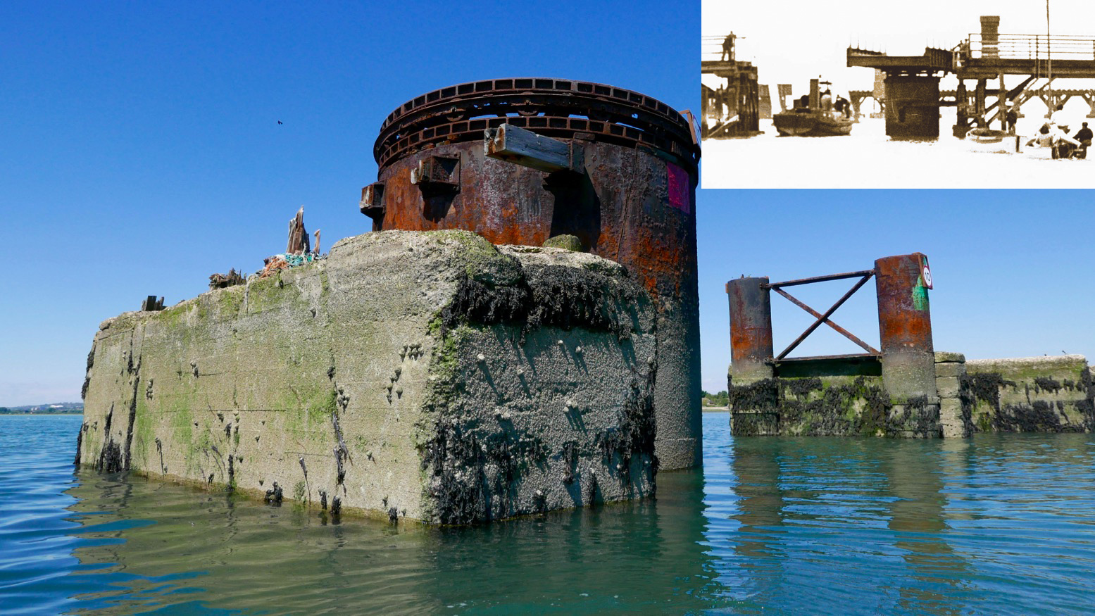
With less than half the tide in, there was already plenty of water to pass under the road bridge and between the stumps of the old railway span alongside. A huge rusting drum suggested a swing bridge to allow boats to pass; online later, sure enough, that’s what it was (left, see inset); a railway running from 1865 for just short of a century. When we drove off the island at about HW, it was the drum was only thing above water. Chichester harbour is packed with parked-up sailboats (‘moored’ some might say), but Langstone is virtually empty, possibly because i’s shallower and with a much narrower entrance. These natural harbours formed after the last Ice Age and take about seven hours to fill, but drain in only five. And because they drain right down to unfathomable mudflats on which even a gannet in snowshoes can barely walk, exploring side creeks can only be done with the high water clock ticking.
To aim for Langstone exit channel from the bridge, head for two tall poles visible to the SSW. By now the wind was in our faces giving a greater impression of speed, but the tide was coming in for another two hours (or do I add/subtract two hours? My brain hurts). We were way too early to catch a roiling ride out the 250-metre wide Langstone channel back into the Solent. We’d have to hack our way out along the side, like a Maori war party.
Long before we got there we could hear the intimidating wail of jet-skis haring up and down the channel. They have such a bad rep and the two-stroke din doesn’t help endear them. If they sounded like Ducatis or Bonnevilles we’d be queuing up for a go! We passed the famous Langstone Pumpkin (above; a lost novel by Wilkie Collins), and soon after, hopping out to wade against the tide over the shallow Sinah Bank saw me sink into the vile black quicksludge which Collins used for the demise of his fickle heroine.
Nearing the channel I sought to dodge the in-pouring current by passing under the gantry of the Hayling Island ferry. Then I announced ‘All hands on deck! Prepare for ten minutes of full steam ahead’. That ended up more like twenty, because keeping close to shore was made trickier by frolicking bathers, parked-up jet skis and inflatable goofballs. To the right the tide streamed past way faster than we could’ve paddled, but along the sides we managed to inch forward at a stroll’s pace; a yacht motoring out mid-channel was no faster. I kept eyeing up points where the current might splay out, but it was getting on for a mile out over the East Winner sandbank before the effort eased, the seas slapped us about a bit and we were out in the Solent for a choppy paddle back to the beach (above), now packed with frolicking sunbathers, paddleboarders and inflatable goofballs. Quite worn out, we beached the kayak and jumped back into the warm sea to wash off the salt and sweat.
It’s fun to try new stuff and paddle on a sunny day, but overall I’d say around Hayling was a bit boring compared to a sunny day in the Northwest Highlands. Who wants to pass Funland and beach houses, mudflats, marinas and more mudflats? Reminds me of Darwin harbour but without the crocs and mangroves. I suspect west of here, the Southwest coast has more promise. I still think the morning start anticlockwise from West Town is a good idea: knock out that exposed seafront stage before an afternoon breeze (and the concomitant rise in bathers, borders and hydrofoil kiteboarders hitting the sound barrier). But I’d aim to leave West Town 3–4 hours after LW. The unintuitive tide may be turning but once in the Chichester Harbour it gets you up and around to the Langstone exit channel around HW for a short paddle along the seafront back to West Town. There’s probably a formula for doing it clockwise from Eastoke and running the flood tide through the Langstone channel, but I’ll let you work that out.
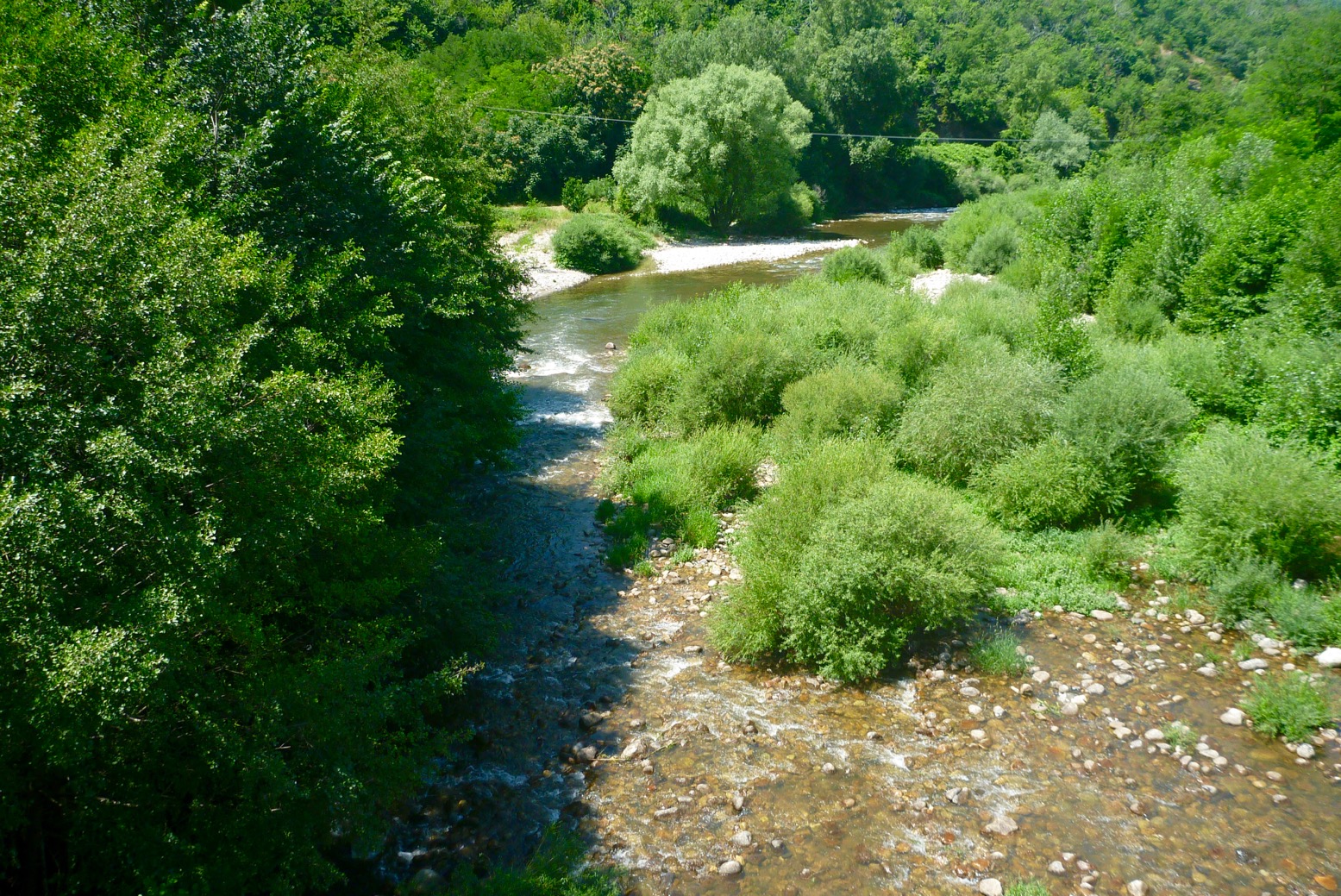
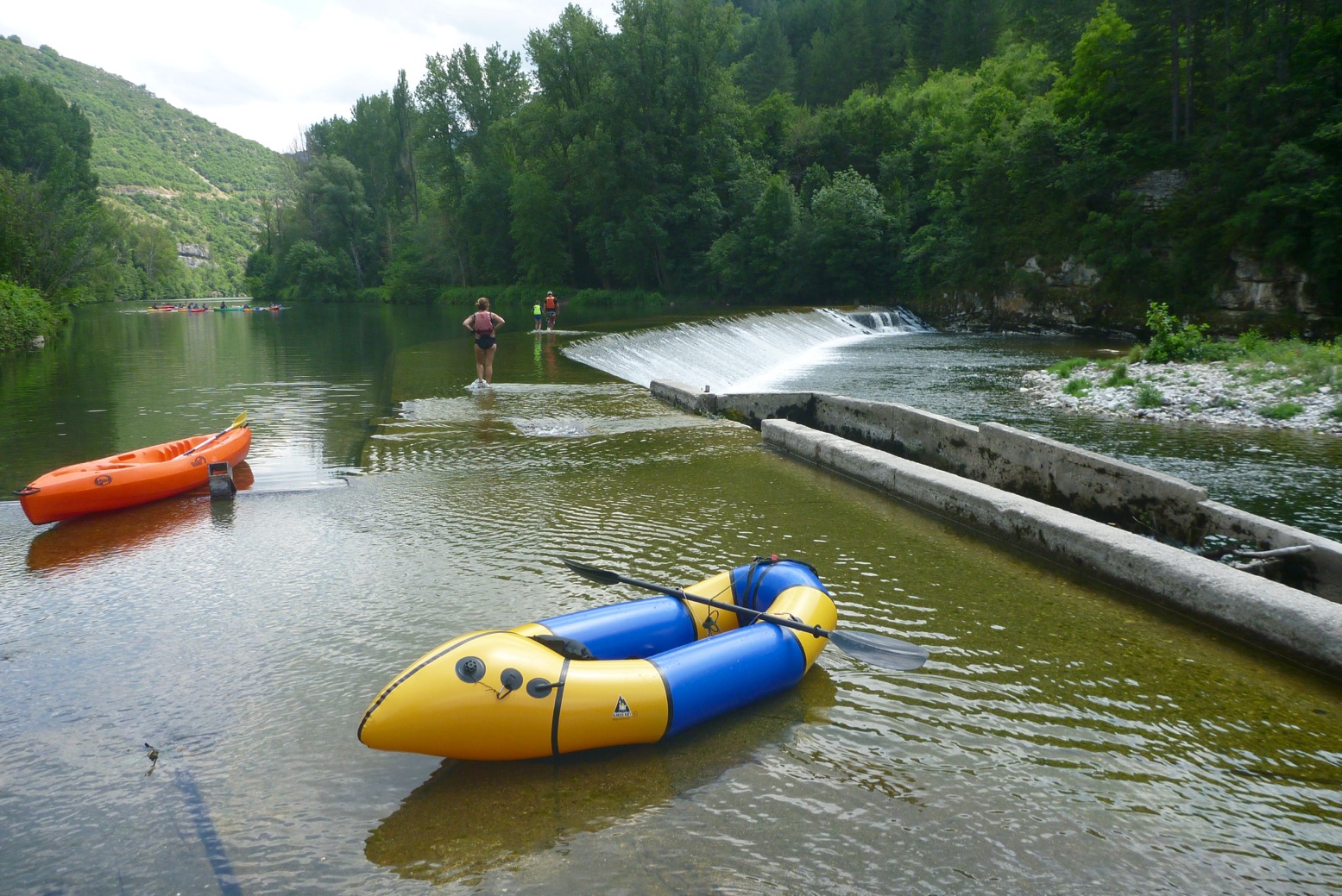
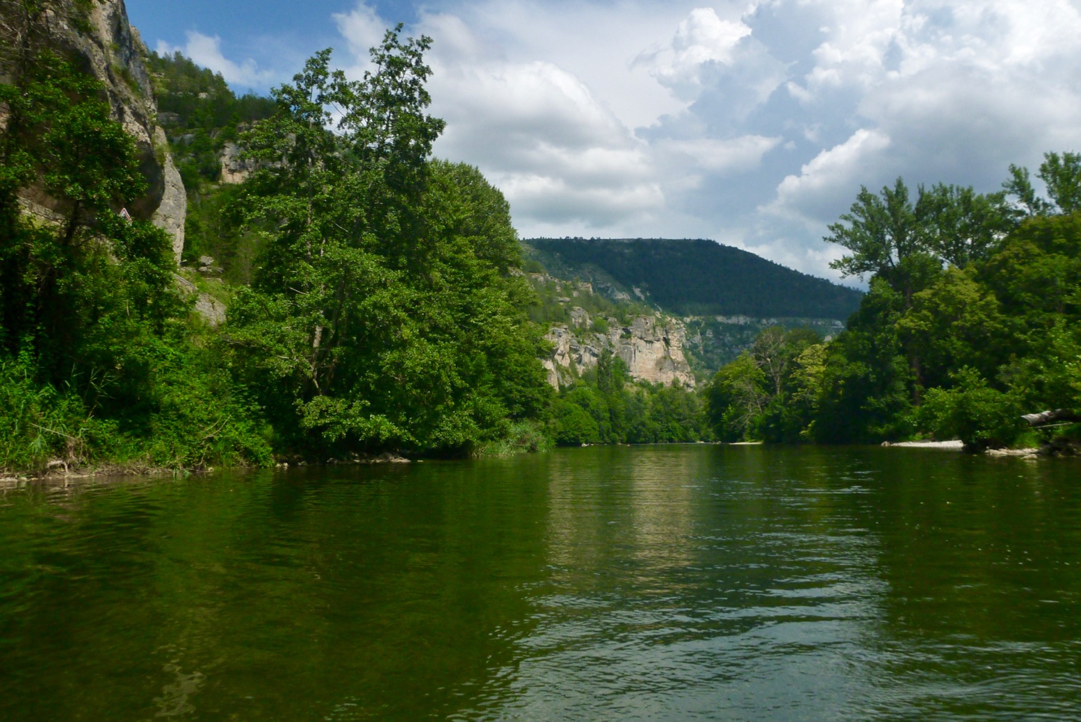
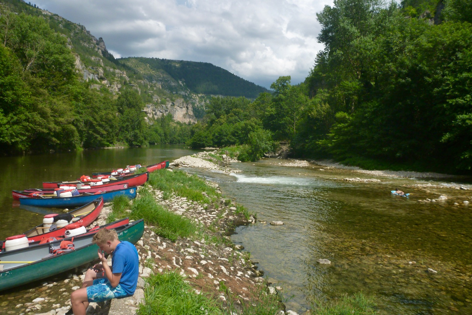
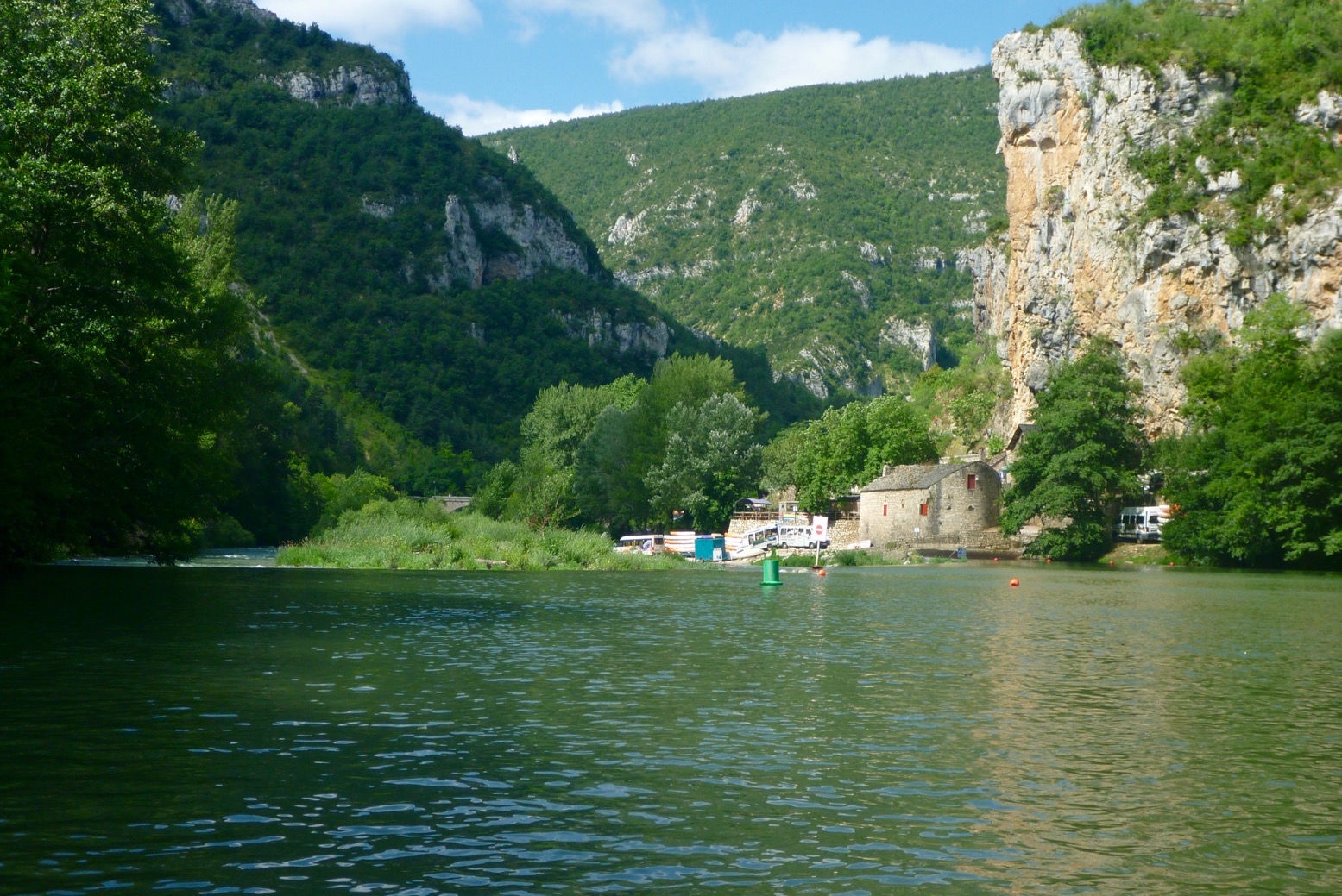
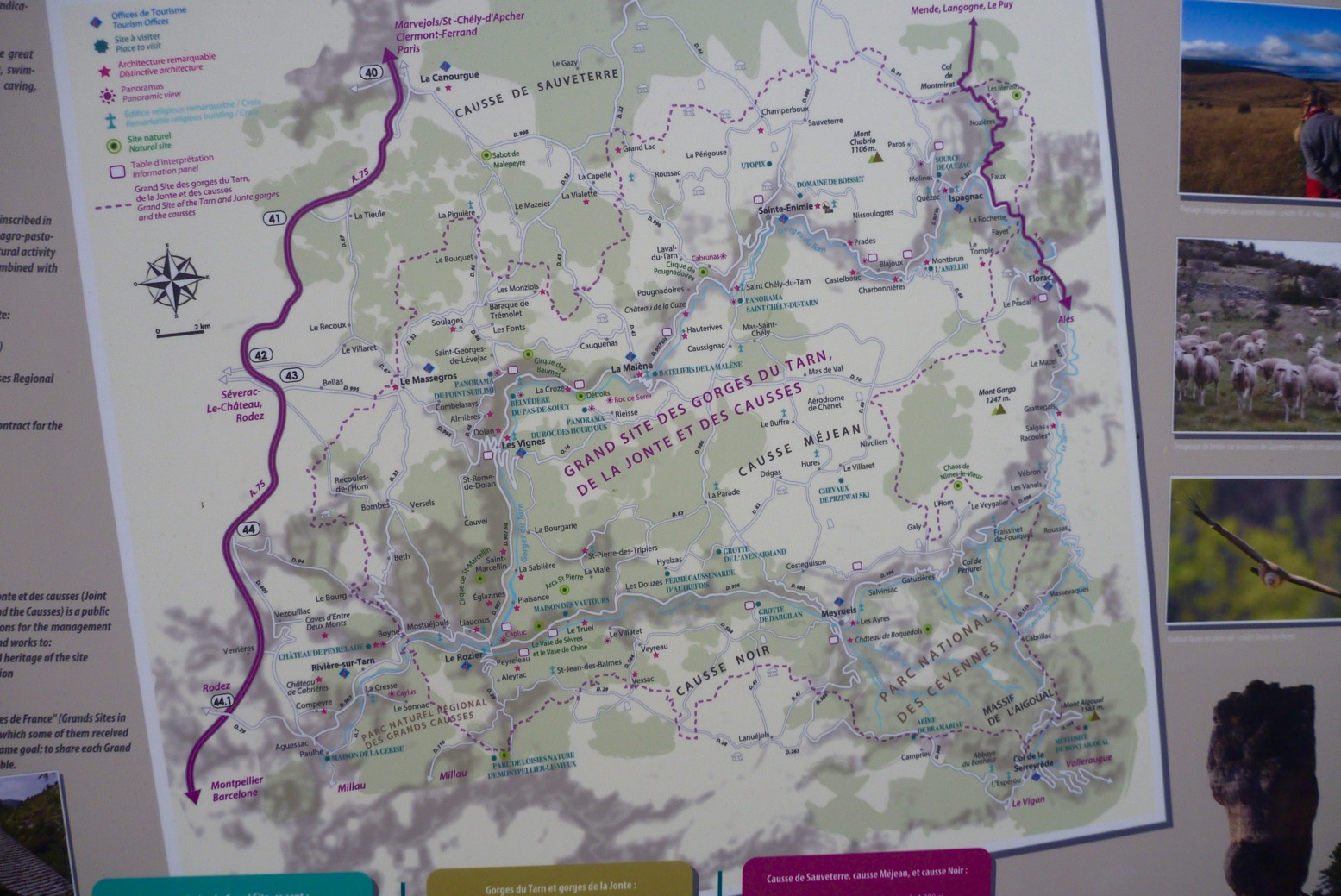
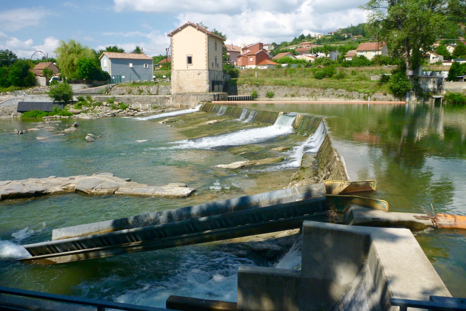
Just back from Tarn Gorge with the Yakraft, All the way from Florac to Millau; about 86km. I’m amazed the beating this boat takes, scrapping through the shallows and bouncing off the scenery. It took me two days plus two half-days each end, so about 18 hours of actual paddling. Surprisingly, I saw only day-renters or youth groups on the river – zero other private tourists like me. And from Florac to Montbrun, and Rozier to Millau I was the only boat on the water of any kind, unless you count an inflatable flying Pegasus.
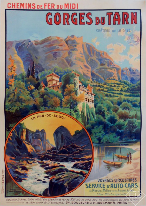
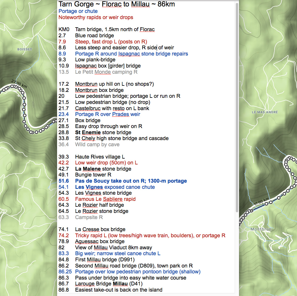
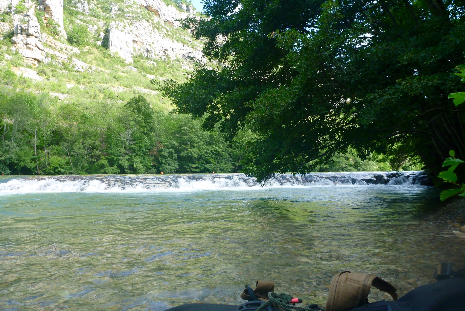
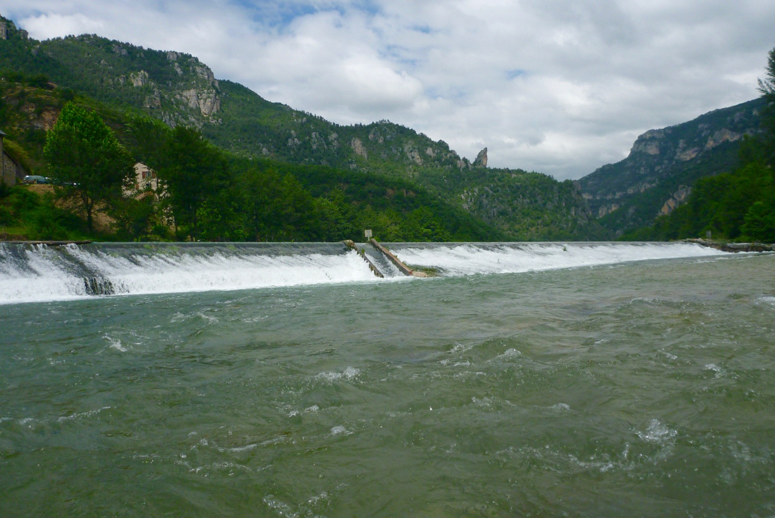
There are two unavoidable portages: Prades (KM23.4) and a longer haul at Pas the Soucy (KM51.6). There are also two canoe chutes (Les Vignes; KM54.1, and just before Millau (KM83.3) plus an odd, unsigned low weir drop at La Malene (KM42.2). See the map below.
Besides a quick 1-day-er two years ago, we last did the Tarn in 2007 in the Sunny and a Solar: Florac to Rozier. It’s worrying what I’ve either forgotten, conflated with other Massif rivers or has changed, but the Tarn is actually a perfect first-time packrafter’s camping adventure. There’s a road alongside (not always accessible without pitons); daily villages for resupply and enough WW challenges to keep things interesting. The scenery and la belle France you get for free. I shipped a few litres on rougher drops but never came close to flipping, unlike a few rental hardshell SoTs I observed.
Getting to Florac (KM0) I took the cheapest redeye Easyjet to Montpellier (there are 2–3 a day), got a train from Gare St Roch to Ales (changing at Nimes) and next day caught the only bus at 12.10 from Ales for Florac, getting on the water at 2pm. You might also try Ryanair to Nimes but the way the timetables were at the time, you’ll still miss that key 12.10 Ales bus on the same day. Another idea might be the way I came back: express bus between Montpellier St Roch and Millau (2 hours) then non-direct train and several buses back upstream towards Florac. You might just manage that in a day. Work it out with the Millau tourist office or the internet. Eurostar London to Nimes in 6-7 hours sounds so much more relaxing apart from the change in Paris, but usually costs way more than the cheapest flights, and you still won’t get that noon bus from Ales same day from London.
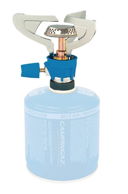
Knives & Gas At least on a train you don’t pay extra for baggage, but Eurostar won’t allow a useful-sized knife or camping gas cans. On a plane camping gas is also a no-no, so I planned to buy a can for my threaded burner in France. No luck as outdoors shops like Decathlon were all in out-of-town retail parks. Your classic blue Camping Gasis widely available in bigger supermarkets but has a different push-and-twist fit. I thought we sorted all this out years ago! Oh sorry, this is France. After traipsing around Ales finding only blue cans, I ended up buying the can and push-and-twist burner in St Enemie (probably could have bought in Florac too). At least next time in France I’ll have the burner and know I can get blue gas easily enough. Or you could always use a plane & rain proof ethanol Gimp Stove. I didn’t actually use my 10-function survival knife, but you know how it is; taking one makes it more of an adventure ;-) You can buy inexpensive wooden-handled Opinels easily in France.
River levels Not being a crusty demon of white water, I’ve never been that bothered about river levels, but a very good website is vigicrues.gouv.fr. You will see live measurements for the Tarn recorded at Florac (KM0); Montbrun (KM18), Mostuéjouls (KM65; near Le Rozier) and Millau. Generally in mid-summer Florac will read minus something and Montbrun will be between 0.3 and 0.5m. Let me tell you, once Montbrun gets towards 0.7m the Tarn is moving along very nicely indeed – up to 8kph in places – but 0.7m is usually a summer storm peak which subsides within a day. They say anything up to 1m at Montbrun is safe enough; beyond that things can get hairy.
Note the spike following a prolonged storm on Friday night/Saturday morning. Things sure sped up from then – last day I averaged 8kph – but never felt unsafe.
I found the old 2002 Massif Central book (right) not so helpful this time round. Even though I sort of knew what to expect – no outright Niagaras – I’d have appreciated better, bigger maps with each bridge, weir, portage and so on clearly marked to help orient myself. Also, the descriptions at each end, from Florac to Montbrun (first 18km) and beyond Les Cresses to Millau (last 12km) are either skimpy or now inaccurate, presumably because rental outfits don’t cover these sections of the river. On both these stages are rapids you’d really rather know about (see my map below). Read my review of the new edition, now renamed Best Canoe Trips in the South of France but with a near-identical Photoshopped cover (below right).
Thing is, on the Tarn you can pretty much blunder along in the dark; you won’t get lost, the rapids are never that technical, especially in a stable and agile packraft, wild camping is easy and proper bankside campsites, from basic to full-blown Hi-di-Hi holiday camps are plentiful and the main villages – St Enemie, La Malene, Les Vignes and Les Roziers are handy for snacks, drinks and pool toys. Can’t wait to get back to the Massif.


 Bow Creek ebbs and flows right alongside the near-stagnant Limehouse Cut/Lee Navigation, but this was surely once a single river system. The River Lee’s (or Lea) source is in the hazy Chilterns of north Luton, and reaches the Thames via Bow Creek, 42 miles later. The Lee River Navigation is paddlable from at least Hereford (Mile 27.5). In England, a ‘navigation’ in fluvial terms means a public right of way for all craft, with a precedent going back centuries. Not all rivers in England are a navigation.