“Why doesn’t anyone paddle around Shark Bay, Jeff? It seems ideal for beginners like us.”
“Name puts them off I reckon. It’s famous for big tiger sharks. National Geographic did a doco there once.”
“Oh really?” I said. “I thought it was just a name…” and took a thoughtful sip from my coffee.
It was 2am in a roadhouse on the Coastal Highway north of Perth, Western Australia (WA). I’d flown in from London that evening with my boat-in-a-bag and together with Jeff’s girlfriend Sharon, we’d hit the road for the 1000-kilometre drive to Shark Bay.
Perth-based Jeff and Sharon were river paddlers and windsurfers and I’d done a couple of French rivers in my trusty Gumotex Sunny as well as some coastal days, but the three of us were new to sea kayak touring. All we wanted was a safe but inspiring introduction and despite the name, we were sure the shallow, sheltered waters of Shark Bay fitted the bill.
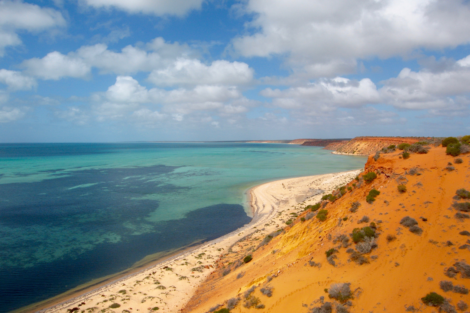
The Bay itself is really a stretch of the otherwise exposed WA coast on the Indian Ocean, and the Shark Bay area is protected by two thin peninsulas which protrude north for 200 kilometres, like elongated harbour walls. But at an average depth of only ten metres, Shark Bay is of little use to shipping and is best known for the daily dolphin visits at Monkey Mia beach. A regular tide of tourists flow in and out of the resort, but having made regular visits there myself as a guidebook writer, I’d long suspected there was more to this ‘Australian Baja’ than beachside photo opportunities with Flipper and the family.
Apart from anything else, Shark Bay is a UNESCO World Heritage site, at the time one of only a handful which fulfilled all four criteria, being an area of evolutionary significance; ongoing ecological processes; superlative natural phenomena and biological diversity. With such impressive credentials we were sure its less-visited corners would be ideal for a mid-winter’s exploration in kayaks.
Once I established with the local parks service that paddling in such an exalted environment was permitted (Australia is full of rules), I was surprised to find just one online account of a kayak tour of the Bay: a quick visit by Australian canoeing legend Terry Bolland. Compared to Bolland’s adventures in the croc-ridden inlets of WA’s northern coast where ten-metre tides run like rivers, his Shark Bay excursion read like Lance Armstrong pedalling down to the shops to buy some milk.
Jetlag meant I was conveniently wide awake for the overnight drive and as the sky coloured with the dawn, we crossed the 26th parallel and passed a sign welcoming us to the fabled ‘Nor’ West’. We rolled into Denham, halfway up the Peron Peninsula and Shark Bay’s only settlement, populated by a mixture of snowbirds living cheek-by-jowl in the caravan park, permanent retirees in pristine bungalows and some fishing and tourist operations. We parked outside the café and waited for it to open.
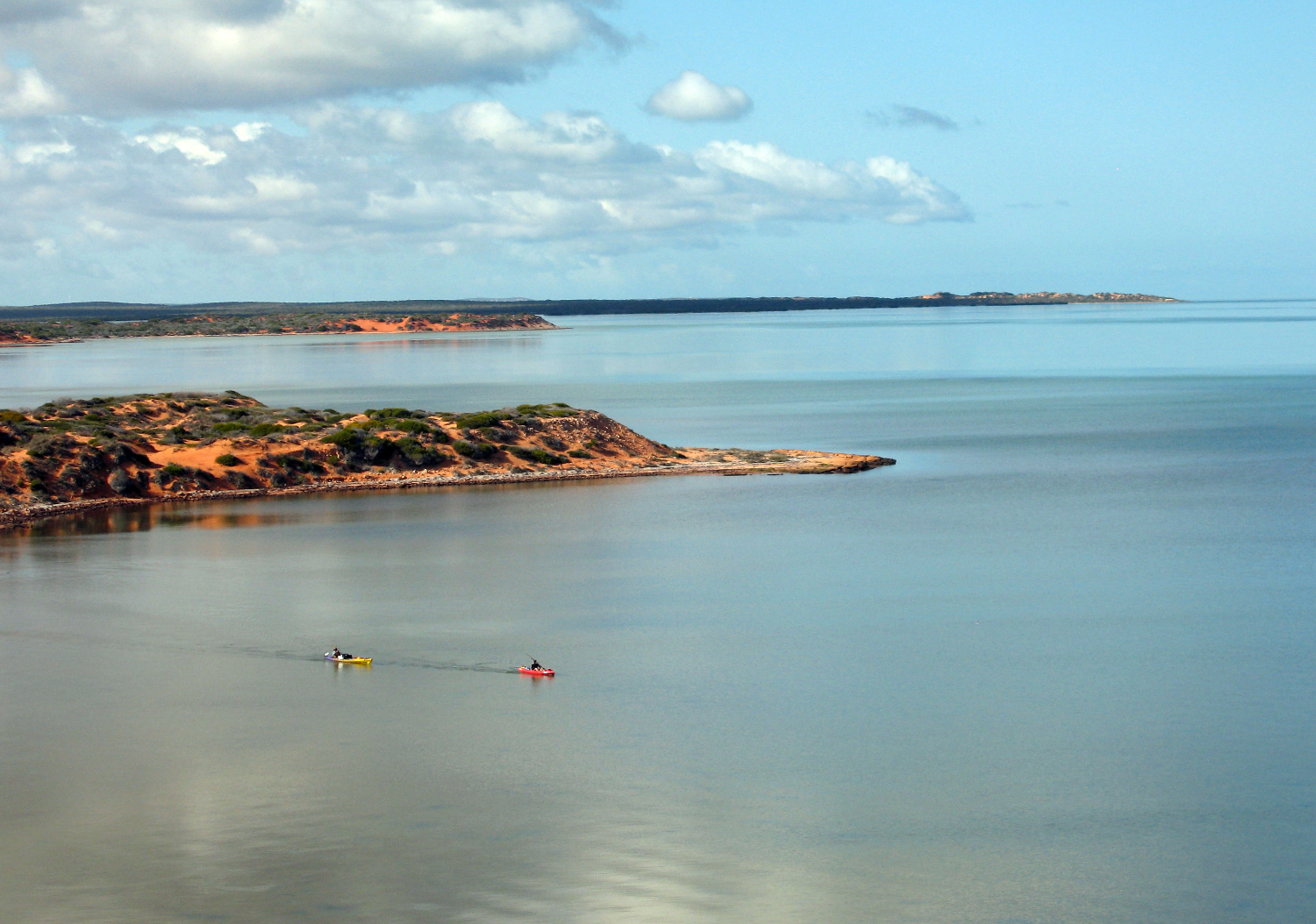
For once the plan was not too ambitious. Paddle north from Denham about 60 kilometres to the tip of the Peron Peninsula, round Cape Peron to the east side, then cover the same distance south to Monkey Mia Dolphin Resort, a trip that might take up to a week. We aimed to take advantage of the prevailing southwesterlies on the exposed west side of the Peron and deal with the same as headwinds on the more sheltered southbound leg.
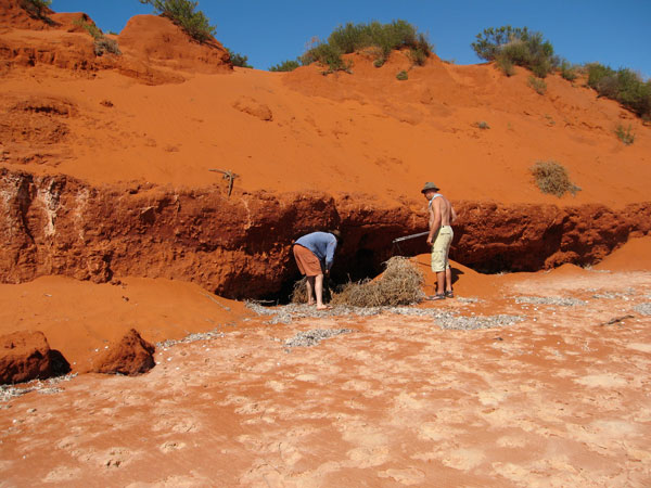
There was no fresh water anywhere on our route, and even the townsfolk of Denham had to pay a premium for desalinated drinking water. So after breakfast we followed a network of 4×4 tracks to the tip of Cape Peron, our halfway point, and buried a cache of water and snacks. It saved carrying very heavy loads and should take us about two days to paddle here.
Setting Off With our cache stashed under the paprika-red cliffs of Cape Peron, we set off from Denham at dawn the following day. Jeff and Sharon had a Mission Eco Niitz tandem kayak the size and weight of a tanker.
The waters were soothingly calm and soon a reliable southwesterly saw Jeff hoist his Pacific Action sail on. “Bye,” I said forlornly “see you later.”
These propitious conditions didn’t last long. Soon the wind swung to the northwest, obliging us to dig in for what was to be two-and-a-half days of relentless battling. I actually enjoyed getting my teeth into a headwind, buoyed up by sightings of the extraordinarily rich marine life that give Shark Bay its special UNESCO status.
J and S took pity on my kayak-shaped lilo and hooked me up for a tow to the first of many mostly unnamed capes by which we’d measure our progress across a marine chart.
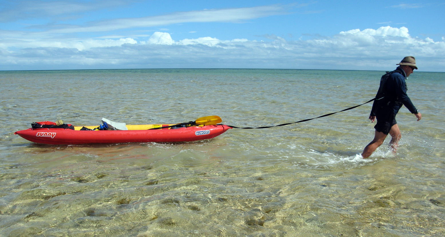
Sharon had chalked up a checklist of ‘must sees’: turtles, sharks, rays, dolphins and dugongs (sea cows). By our first beach break a green turtle had already passed beneath her bows and later, as we towed our boats through the knee-deep shallows up to half a mile off shore to rest the arms, startled manta rays submerged on the sandy seabed took flight as if shot from a bow.
Our destination that first day was the intriguing Big Lagoon which probed the peninsula’s flank like a tidal glove and promised a sheltered camp site. Twenty kilometres out to sea, Dirk Hartog Island broke the horizon: Australia’s westernmost point. The Dutch seafarer recorded the first European landing there in 1616, nailing an inscribed pewter plate to a pole. What he saw of the newfound Terra Australis was uninspiring: flat, arid and dense with scrub. It was another 150 years before Captain Cook mapped Australia’s less harsh east coast and brought about British colonisation.
A less historic lone pole marked the mouth of Big Lagoon, and as we rounded the entrance a mass of cormorants took flight, the air filling with the whiff of their oily wings. Though we’d snacked on some oysters during our afternoon wade, the day’s hard paddling had given us all an appetite so we pulled over among some mangroves for an overdue feed and a reappraisal.
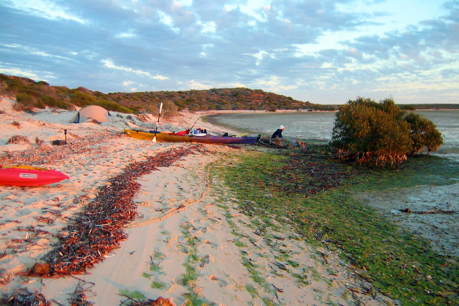
It was already 4pm, and with the tide and the wind now against us we decided to leave the exploration of Big Lagoon for another day and scooted across the channel to the nearest sandy beach to make camp. We hauled out boats the last few hundred metres to the tide line.
Walking with Sharks Though only ranging around a metre, the tides in Shark Bay seem to have a mind of their own. Some days there are two as normal, but the following day there might be only one-and-a-half, or even a single 13-hour high.
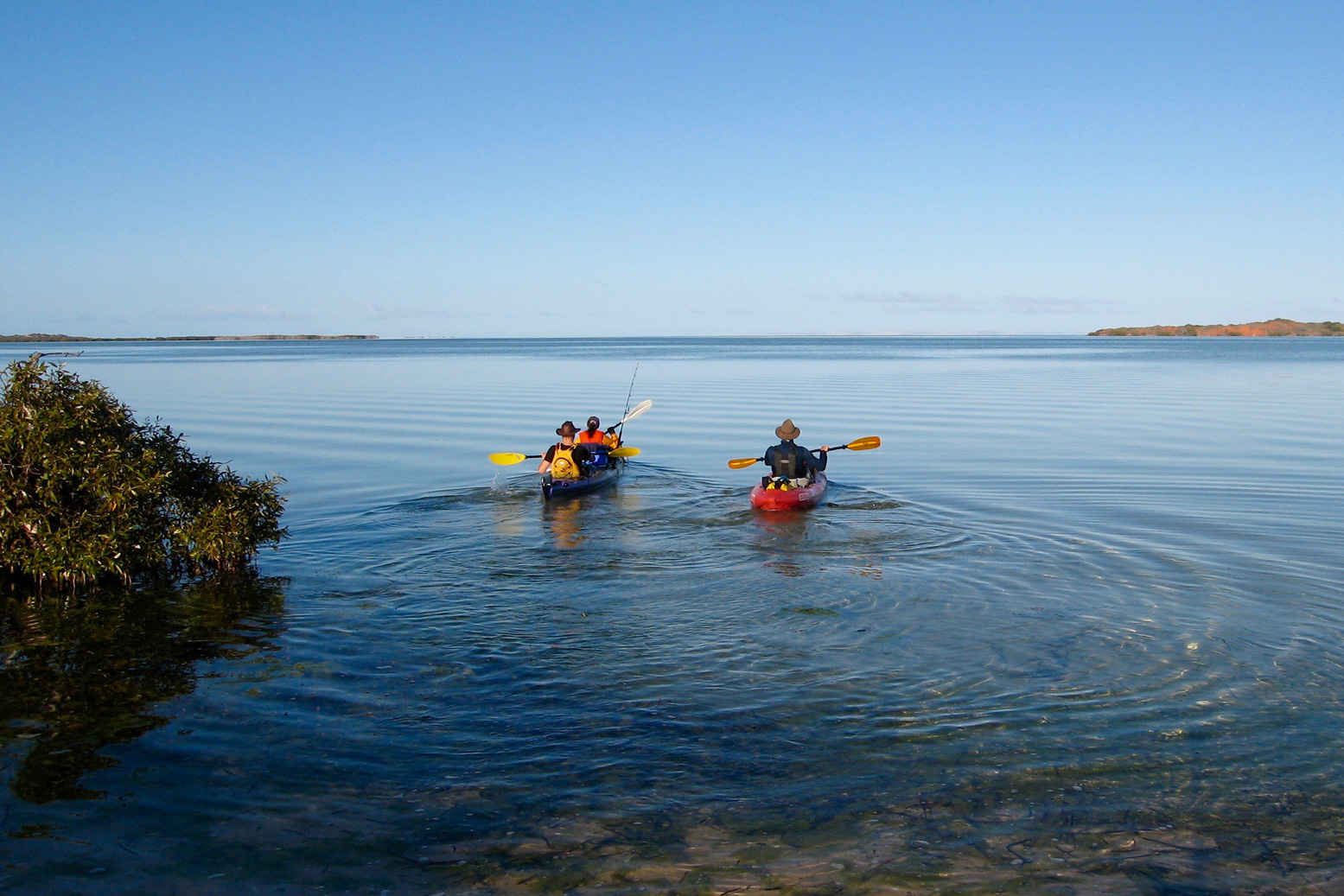
This had caused Jeff some consternation with the tables, but dawn brought the tide right to our feet and once loaded up, we glided out across the mirrored lagoon. It was to be only a momentary pleasure watching our boats speed silently over the seabed; out in the open the northwesterly was hunched up, fists drawn and waiting. Heads down, we worked our way up the coastline, stopping to investigate an old pearl divers’ camp. Western Australia’s famous pearl industry had begun in Shark Bay in the mid-1800s and the corrugated iron stumps of the shacks around us, now brittle with rust, dated from that period.
Tiny fishes skimming over the surface alerted us to the distinctive tail and dorsal fins chasing them. Soon metre-long sharks began darting between our boats, racing at us then veering off at the last second in a flurry of spray. We assumed the bulky silhouettes of our trailing kayaks kept the young sharks from attacking, a theory that gained credibility when Sharon ended up running towards the beach, screaming as the sharklets circled her menacingly.
Presently the waters cleared and we hopped back into the boats, steering out into the wind around sandbanks as a long line of ochre-red cliffs long passed by. As they ended we hauled the boats ashore to set up another camp and, with daylight to spare, wandered off to explore the beach.
I found a washed-up conch the size of a watermelon while Sharon and Jeff came across a midden of oyster shells left either by 19th-century pearlers or maybe the Yamatji Aboriginal people who’d occupied the Bay prior to colonisation.
To Cape Peron Up with the sun again, but there was no calm put-in this morning. It would be another tough haul to reach Cape Peron and our mouth-watering cache. By 9am Jeff estimated it was blowing at 20 knots. “What’s that in English!?” I yelled, although the answer was immaterial. “About 30 clicks!”
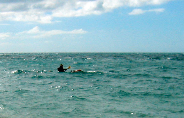
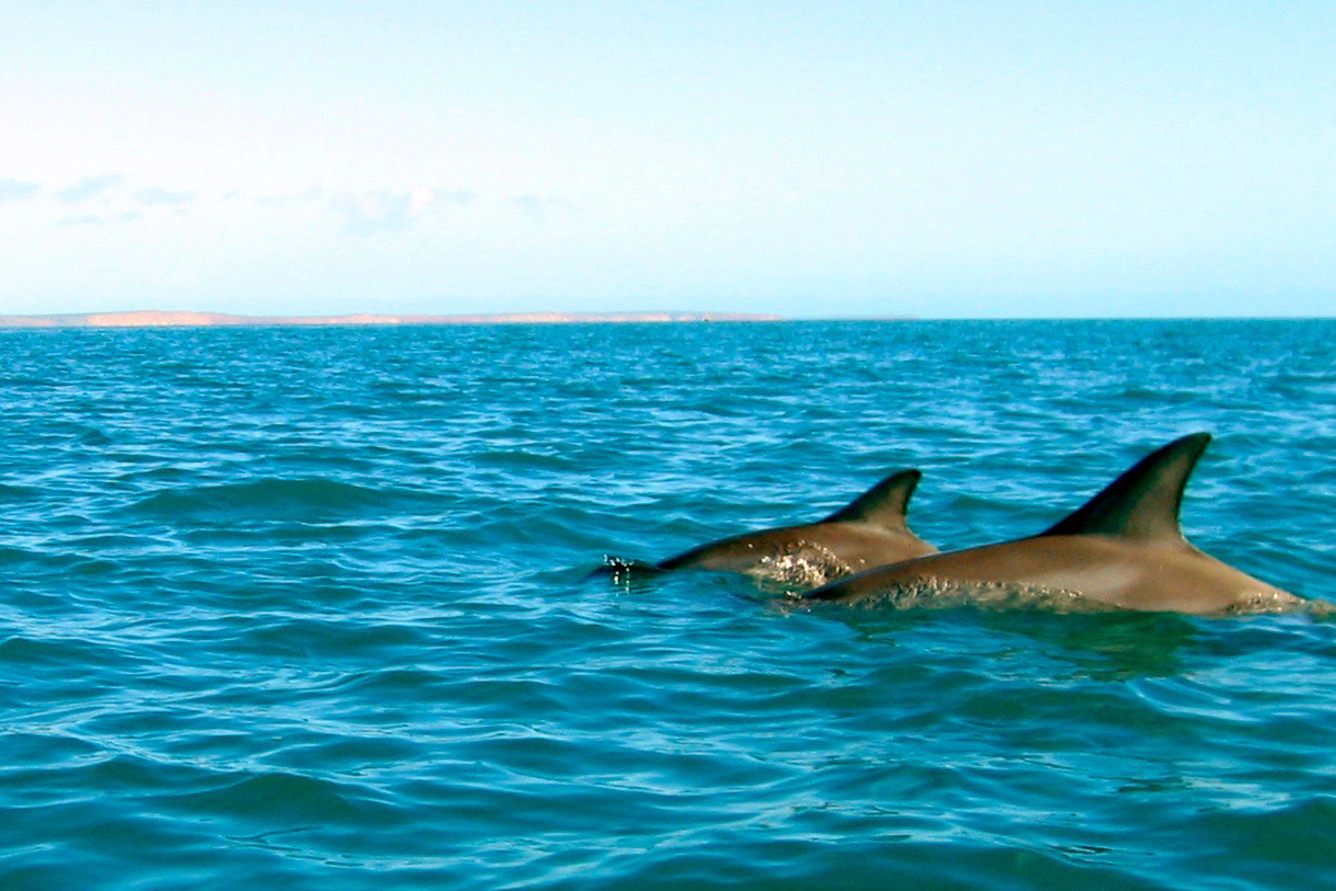
Was it possible to paddle against 30kph winds? My gumboat flexed with the swell as the sea surged over the sides. Now, without the protection of Dirk Hartog Island, the unfettered Indian Ocean swells were crashing against the shore. Still, every vicious headwind had has a silver lining and as we hacked at the water, a pair of dolphins popped up to say hello. Less than 48 hours into our sea safari and only the elusive dugongs remained on Sharon’s checklist.
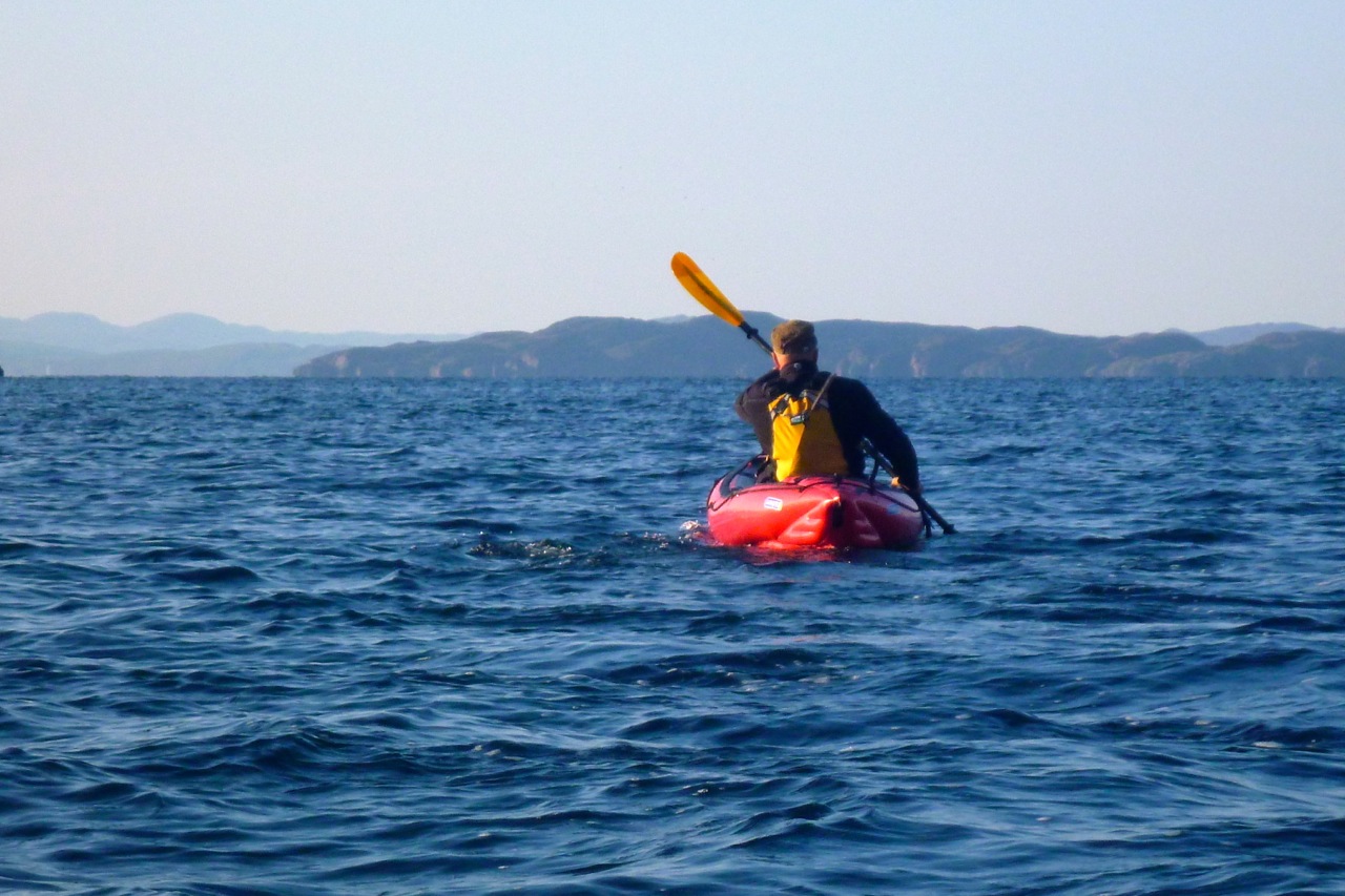
The seas were getting as big as I’d ever experienced, but I figured as long as the Eco did not disappear behind the swell it wasn’t that bad. I still find the idea of sea kayaking intimidating, but two days of hard paddling had toned me up and I felt confident I could face the day’s toil. Partly this was because my Sunny had the reassuring stability of a raft, even if that included comparable agility and speed! It was something I appreciated when, after breaching a gnarly reef to grab another snack on the south end of Broadhurst Bight, we set off to cross the bay to the northern edge.
That turned into a punishing marathon with the confused seas barging at us from all sides. Tying on to Jeff’s stern I’d worked the bilge pump regularly while the distant shore inched steadily by. All around the once-comforting seabed was now an unfathomable inky blue abyss.
Two hours later we staggered onto the sandy headland, having covered just five kilometres. Our morning’s efforts had put us just a couple of clicks from the tip of Cape Peron for a snack and after another forty minute burst, with my boat swilling again with seawater, we landed on the Cape’s sandy beach and retrieved our cache.
Stuffing our faces with jellies, sausage and now with plenty of water, we were keen to round the Cape because at last the wind would out of our face! We pushed out and once rafted up, Jeff hoisted his sail which filled instantly with a satisfying SLAP! Soon we were skimming along at two or three times our paddling speeds, water lapping over our bows, heading southeast into Herauld Bight.
Sailing with Dugongs We were sitting back, our paddles over our knees and enjoying chatting without yelling when Sharon exclaimed “Dugongs!!” Several huge, dun-coloured profiles emerged against the dark seagrass bank on which they’d been feeding, and before long we were right among a herd of twenty sea cows, caught unawares by our stealthy windborne raft. At times our bows nearly ran over them, the water ahead exploding as their powerful tail flukes blasted them out of range.
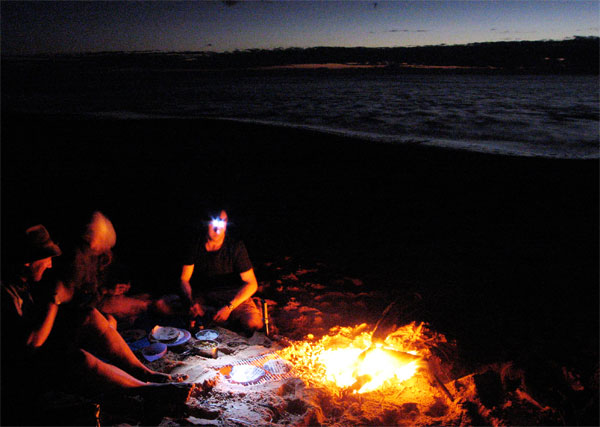
By dusk our unexpected run downwind had doubled our day’s mileage. Once ashore I foraged for firewood while Sharon and Jeff got cooking. As we wolfed down our food, wafts of a gorgeous aroma drifted over from the fire. Intrigued, I walked over and realised one especially large chunk or timber was precious sandalwood. A century ago WA had got rich quick supplying this raw material for incense to nearby Asia. Now the last reserves in WA were said to be in Shark Bay. We pulled the log off, finished off the meal and with the wind still blasting down the bight, retreated to our tents.
Across Hopeless Reach By the time I’d dried out my tent after it blew into the sea, the tide had come in to meet us again and under sail we windsurfed round into Hopeless Reach. Here, prophetically, the wind dropped and it was back to good old-fashioned paddling, albeit on much calmer seas. By mid-afternoon we could see Cape Rose a few kilometres from Monkey Mia resort. We didn’t want it to end yet and so strung out the day with fruitless fishing and exploring the scrubby cliff tops on foot.
As we approached Monkey Mia next morning, bottle-nosed dolphins cruised past, soon followed by a tourist catamaran and all the commotion of the resort. We beached the boats one last time and while Jeff hitched back to Denham to get the van another ranger-led dolphin visitation ensued before a line of excited tourists.
Sure it’s fun seeing a dolphin close up, but the three of us couldn’t help feeling rather smug about our thrilling encounters out in the Bay. The tourists were standing ankle deep with half-tame dolphins, but we’d worn the paint off our paddle shafts, sailed with sea cows and walked with sharks!
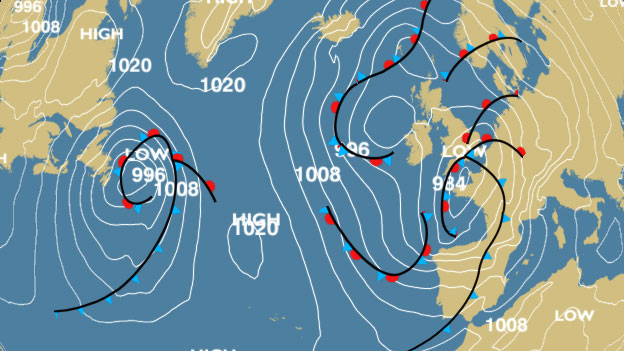
High pressure alert!No, my range of recreational leisurecraft weren’t about to blow, it’s the weather – and that’s not about to blow. Far from it. A high was about to lasso the north of Scotland with its concentric isobars. It may be mid-October but it’s been the sunniest and calmest spell up here for two months. Never mind Indian summer, this was turning into an Arapaho autumn. It all added up to good chance to make a break for that most troublesome and distant of the Summer Isles: Priest Island – or Eilean a’ Chleirich; ‘Island of Clerics’.
Whichever way you look at, it Priest looks way out there for someone used to staying within a mile of the shore. Mainlandwise, it’s over six miles out of Old Dornie, nearly four miles off Mellon Udrigle on the other side, and a bit more from the end of the Scoraig peninsula. Far enough out to need the full length of a good day and someone for backup. Luckily Jon thought so too and rode up late Thursday night with his Peckett & McNabb Scorchio LV.
Friday, soon after dawn we were putting in at the top of the tide at Old Dornie. ETA Priest north shore: 2.5 hours. The forecast was a 6mph SE till late morning after which time it was set to drop right off to the southwest. Once clear of the back of Tanera Beg’s lee, I expected things to kick up a bit. But what a difference it is having someone else along for the ride to quell the usual neuroses. Jon agreed that he too would be nervous of taking a run out to Priest alone, and he was sea kayaking by the book: UHF, spare paddle, bluetooth bilge pump and the Semaphore Handbook in six languages, including Gaelic. Of course, this was all in a day’s work for someone like Gael A who was up here a couple of years ago in an Incept K40 at the end of his Scottish Sea Kayak Trail when he wrote.
I headed towards the closest, Priest Island some 5km away. Halfway through the passage, the wind died off and the sea glassed over. The uncanny cries of the guillemots emphasised the eerie atmosphere; I felt like I was entering an unearthly space. From the SE tip of the Priest Island I carried on around the west side. It was another paddling paradise with endless features to explore in the good company of seabirds and seals.
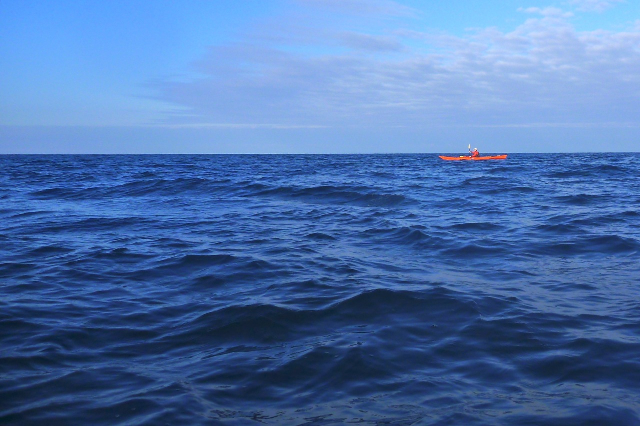
Back to now, and I was typically under-dressed, making a concession to the season with some Ron Hill leggings and my warmer pfd. It may have been mid-October but I knew I’d cook in my drysuit and, as I guessed correctly, my high-waisted Kokotat overtrousers would complicate the inevitable pee breaks long before I got to set foot on Priest. Good thing a calm was setting in then. As we left Old Dornie Jon asked me to pull down his jammy skeg, and in the ten seconds it took me to locate it, my arm went numb with cold. Falling in out there would really not bear thinking about. The cold shock would lock your lungs like a slamming safe door. As it was, once past the back of Tanera Beg the sideslap never got that unnerving, and as we sploshed along I knew not to be concerned if the distant dark crags of Priest appeared not to grow any nearer.
Only 90 minutes in the marker of Glas Leac Beag (small green rock – above) came up on the right. I visited the bigger counterpart, Glas Leac Mor the other week, but Glas Leac Beag’s consolation in an emergency was purely hypothetical as the only way to get on it would be to leap from a boat like a frog. Still, we were going quicker than I expected despite the chop and corrections against the sidewind. The skeg-rudder idea of fellow Gumotard, Jim, would have been handy here. Every once in a while I had to give a double haul on the right. Jon’s hardshell worked by balancing the variable drop of the skeg against the force of a sidewind which would otherwise push his stern round: more sidewind, more skeg, or something like that. In that sense skegs are more like optional rudders on hardshell cheesecutters which have no need of directional aids, unlike windprone IK bloats.
Looking at Priest with the low sun in my face, it was impossible to discern any perspective to the foreshore – it was all one long dark line of crags. The map lay right in my lap but who looks at maps once they’re on the move? I failed to recognise that the bouldered landing beach we were aiming for was further to the east, while we were heading down to the western end. Once I realised that, we changed course and passed the tip of Priest and an arch (not the needle-eye arch on the west end) which only Jon noticed. And as predicted, the wind dropped off to nothing.
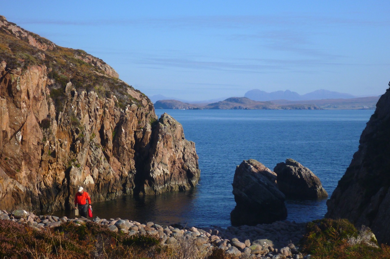
We were searching for the cobble stoned beach created by the island’s NE/SW glacial gouging. We put in up a cleft (left) and staggered ashore, but it was all wrong – we had made the deadly mistake of pre-emption: scourge of the hasty navigator! If we wanted to spend any time on land, the dropping 12-foot tide would make getting back out of the cleft tricky.
Back into the boats on the slippery seaweed boulders – surely the most awkward and risky part of sea yaking, short of tackling a typhoon. Soon we got to the correct stony beach I’d clocked on Google. A stumbly 5-minute portage from here would have led to the glassy half-km-long Lochan Fada which cuts right to the heart of the island, one of nine freshwater sources on the Priest. But, great picture though it may have made, I was a bit pooped and more interested in ham butties. We sat on a hill overlooking the still lochan when Jon noticed the back of a signboard at the other landing beach. It was a plea by the island’s RSPB owners for visitors to be careful not to crush the burrows and eggs of the 2000-strong colony of storm petrels that inhabit Priest Island.
As it happens that was made easier by a few paths leading from the two landing beaches. One led past the RSPB shed from where I carried on to the south side to check out the ‘prehistoric’ stone circles. The ones I saw (picture far below) looked more like rude shepherd shelters than mysterious Neolithic monuments (there’s more on Wiki), but to be fair, I didn’t see the others just to the north. That was because it took a bit of reorienting to locate the island’s sole ruin, a substantial but roofless four-room bothy supposedly on the site of a sixth-century Christian chapel, suggesting an origin to the island’s name. I was curious to see this place as it’s said in 1975 a pair of unlikely criminals hid out here for a few months, on the run from a collapsing series of scams.
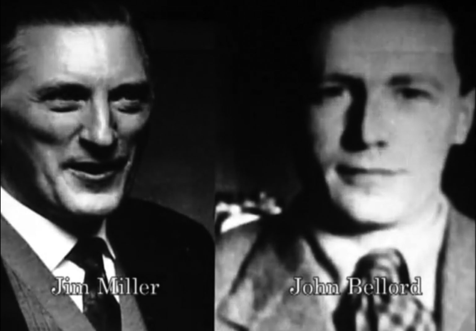
Google ‘Jim Miller and John Bellord, Southern Organs Scandal’ and you’ll soon find Geoff Green’s recent book: Paying for the Past. In it, the author admits to falling under Miller’s mesmeric spell in the early sixties and eventually becoming one of the entrepreneurs’ close business associates. Along with many others, he was invited to make a quick buck by investing in loans to supposedly supply churches with expensive electric organs, and was later drawn into a racy, high-profile lifestyle as the manager of Southern Organs’ GP sponsorship endeavour. Alvin Stardust (right) and other celebs were part of the gang, but then around 1975 the whole cosy investment scam which supported the racing sponsorship began to crumble.
Although he knew nothing of the area, it was Green who came up with the idea for the pair to hide out on Priest Island. They jetted off on a long-overdue holiday to Calais, sent postcards back home saying they’d killed themselves, ferried back to Dover the same day where Green met them and drove up to Ullapool. He then RIB’ed over from Dundonnell to Priest, leaving them with provisions and an inadequate two-metre dinghy with an outboard.
I read the book curious to discover if this claim – that these urbane middle-aged gents (Miller lightly crippled with polio) could really have lived for ‘262 days’ on Priest Island, frying up storm petrel omelettes and brewing peat tea. Over eight months sounded far-fetched for two conmen fleeing a Rolls Royce-champagne-and-helicopter lifestyle before clumsily faking their suicides from Calais, like Reggie Perrin on telly, John Stonehouse the MP, Lucan and more recently, our hardshelled friend, Canoe Man. A desperate, ex-para axe-murdering survivalist might have been able to hack Priest for that long. But with these two, insisting as they did on a chemical toilet, it all seemed improbable. Crofting on Coigach mainland is hard enough. What chance on a 120-hectare island, even with half-a-dozen lochans? On their release they went on to explain in a BBC documentary:
… the island had reaffirmed our belief in the simple things and helped us to clear away a mass of valueless and extraneous paraphernalia with which we, like so many, has cluttered our lives.
Paying for the Past is a bit light on clerical details and dates as, after dropping them off on Priest one stormy September day (a slightly over-written episode with some implausible embellishments, IMO), the author (left) was never to see his friends again. It’s only towards the end of the book that Green suggests they may not have been on the island anywhere near as long as he claims, and once recovered to the mainland, probably used their well-polished charm and remaining cash to secure local support in Ullapool, as explained in the book.
This video is part of a documentary that portrays the events from the point of view of a psychic detective who was hired by the Express, though it wasn’t shot on Priest Island. And for all our man’s alleged clairvoyance, it was simply the police tip-off from Geoff Green (under pressure from legions of debtors and with leniency guaranteed) that got the two arrested in Ullapool. Ironically though, it was Miller’s similar esoteric beliefs in radionics, among other ‘faith healing’ therapies, that founded and then funded what became the duo’s glamourous empire.
When I found the ruin in which they say they hid, it was clearly not your average Coigach crofter’s bothy, but a more substantial dwelling supposedly built on the site of an old chapel, either by a sixth-century monk on retreat, or a banished sheep rustler with a talent for masonry. As a sign (right) we saw on the Dundonnell Estate near Scoraig last week proves, ovine rustling is still an issue here in the wild nor’ west.
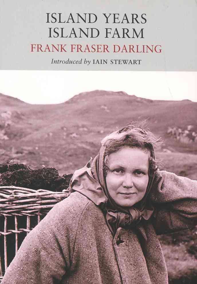
The way Green tells it, it was his auspicious discovery and reading of Frank Fraser Darling’s book Island Years, Island Farm (1943, left) which gave him the bright idea for the pair to hide out on Priest Island until it all blew over. Apparently, Miller and Bellord had holidayed in Ullapool and were fond of the area – that was all it took. Any bushcraft savvy they could pick up along the way. Darling’s Island Years mostly deals with experimenting with sustainable crofting agriculture on Tanera Mor (left) in the early 1940s (Island Farm), but he and his resilient family first tried to give a go for a few months on Priest Island a few years earlier. Having now read that book I wouldn’t say the account of Arctic-grade tents being torn to shreds would evoke a great place for a hideaway holiday, but as we know with northwest Scotland, when the weather is calm it’s brilliant, and when it’s not you just knuckle down.
The Fraser Darling family went on to camp on the Treshnish Islands and even endured a spell on North Rona where the author had been funded to study grey seals and their effect on commercial fishing.
Miller and Bellord come across as an intriguing pair, and you can see why their background, interests and activities captured the attention of the media, and why Geoff Green’s 2014 book has gone down well with readers.
In this video published by Green a couple of weeks ago, he returns to Priest Island, but in it he mistakes the hut circles I saw (left) for the bothy which appears on the 25k OS map shown on this page, and even more clearly on Google aerial imagery. It remains as intact as it was in the first, 1979 BBC Everyman documentary featured at the end of the video above, with a bit of unsightly plastic rubbish in the adjacent burn – a job for the next RSPB volunteer visit, or anyone with a bin bag and space.
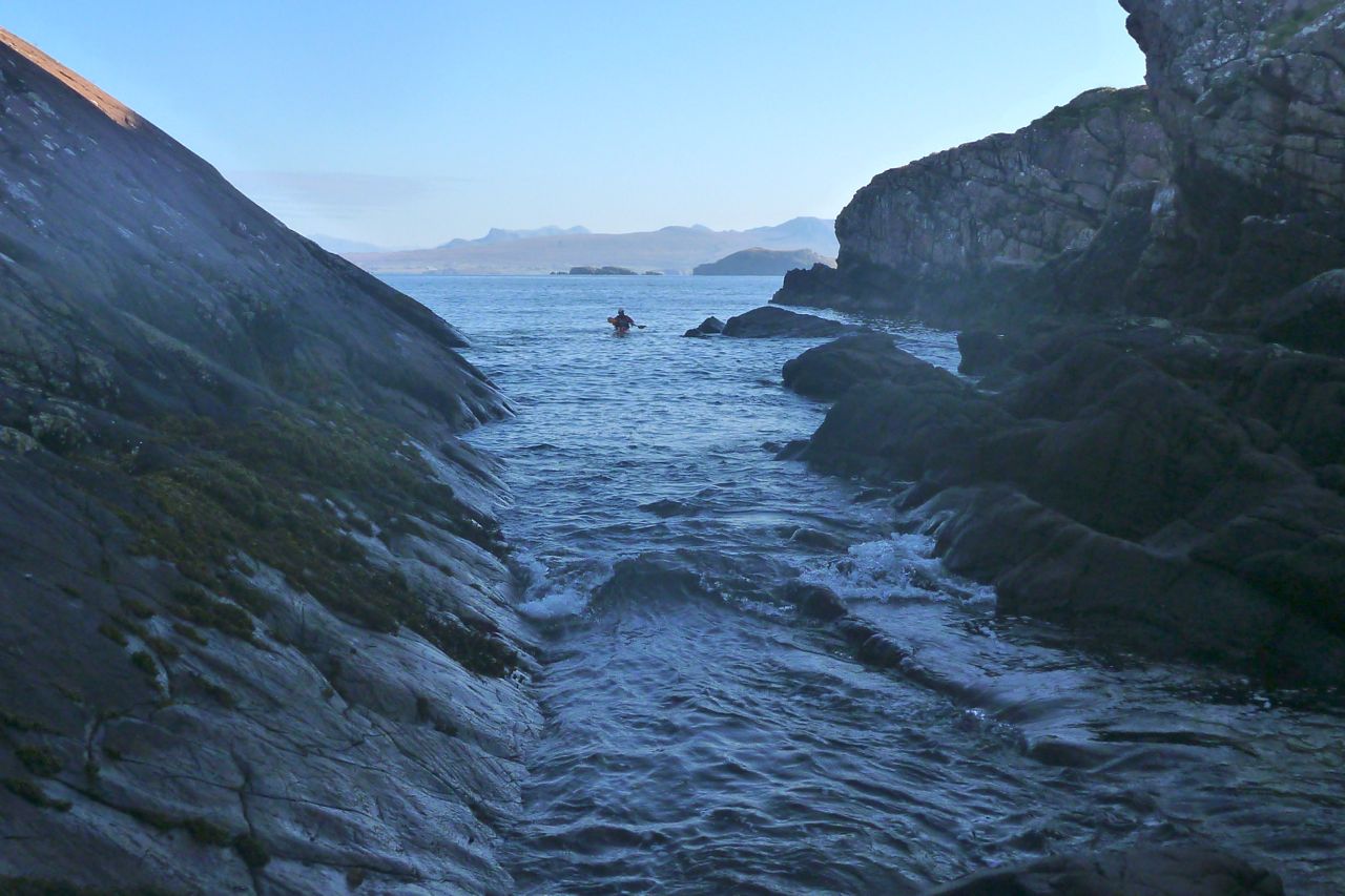
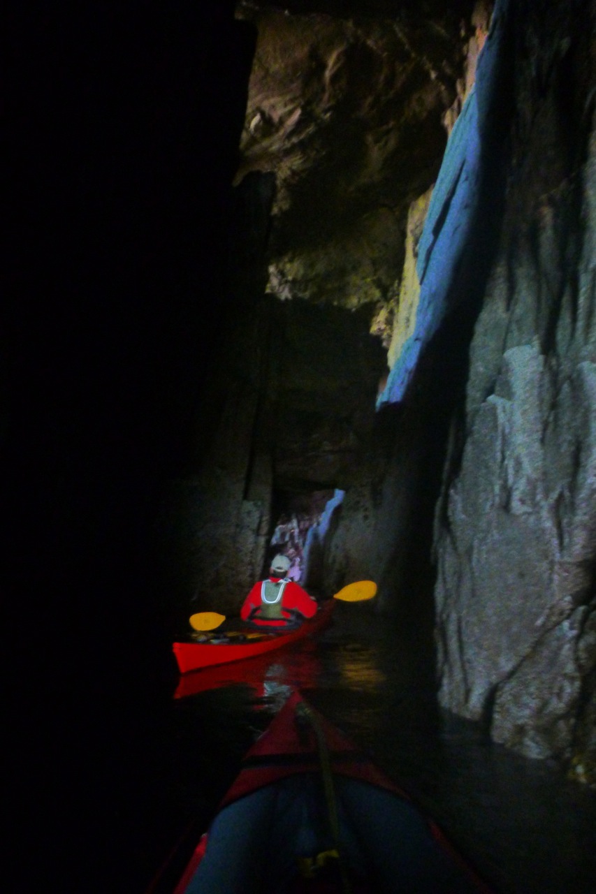
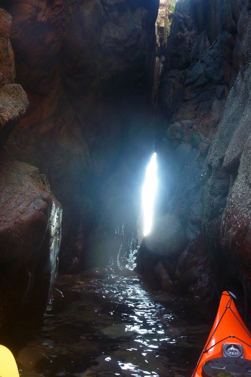
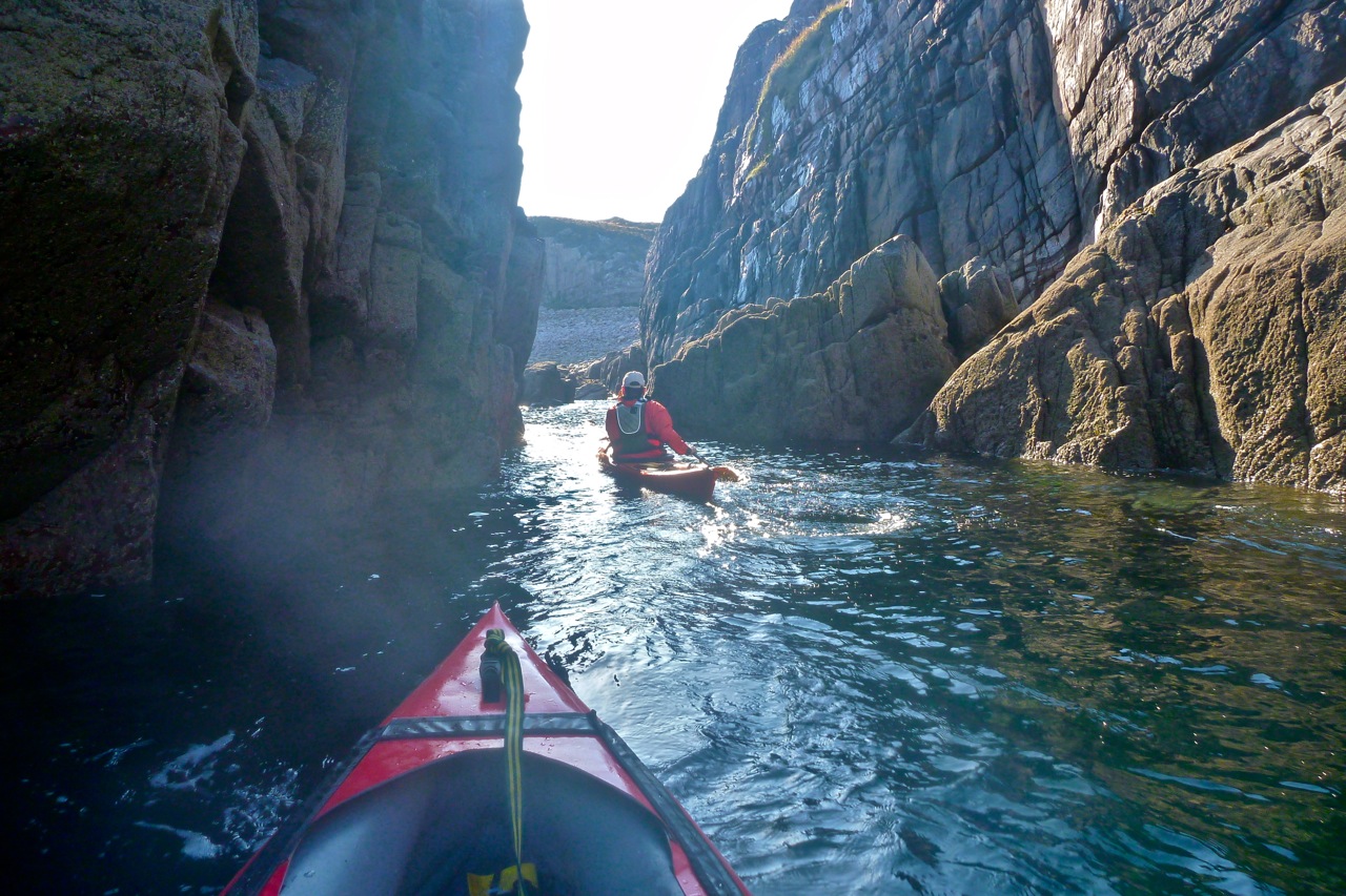
Anyway. Enough true crime confessionals. We returned to the boats and headed southeast across the big bay towards some interesting looking cliffs and clefts. One chasm led deep into the crag with promising daylight peaking out the far end. We edged in deeper, pushing off the sides, and between the swells got far enough through to see there was no way out at this point, halfway down the tide. We tried from the other end, slipping behind the outer stack visible on aerial images, but that too needed at least another foot of water to paddle through. Finally at Aird Glas, Priest’s eastern extremity, we managed to paddle behind a stack and commence our glide across the now mirrored water to Bottle Island.
It all seemed so effortless. We could have aimed at any Summer Isle we chose – over to Carn nan Sgeir even – and paddled straight there with ease. What was all the fuss about? On Bottle I was hoping to lead Jon through the southern passage I found last year, but as on Priest, the water was too low to pass through the narrower exit tunnel (right).
All that remained now was to follow the island chain over to nearby Carn Iar/Deas and from there pass over the sandy green channel of Caolas nan Sgeirean Glasa (I throw all these Gaelic names about like I didn’t just type them carefully off an OS map :–). We pulled in for tea break on the jetty of Eilean Dubh, ahead of the final, six-mile surge back to Old Dornie. I found this handy refuge last year and we agreed that a: the jetty was a bit short for the tidal span and b: even if it’s nice to have a secluded island cabin (right) well sheltered from the prevailing winds, it had a comparatively ordinary view back towards Achiltibuie and a chilly, sunless aspect this time of year.
The tide was on the turn now as we passed Tanera’s tidal lagoon and crossed Badetarbet Bay on home ground. I’d been asked to pick up some heavy bags of winkles somewhere on the north side of the bay on Rubhan na Buaile and drop them off at Old Dornie. But clambering along the grubby shore while Jon towed my boat, neither of us could find any trace of them. There was clearly a need for some CCTV surveillance around here, too.
We got back to Old Dornie just as everything was getting bathed in the same rosy-orange glow it had been when we set out, nine hours earlier. And after 30 clicks of sea paddling and very little similar exercise, I wasn’t as shagged as I’d expected to be, something that I’d partly put down to a lack of tension of not doing it alone.
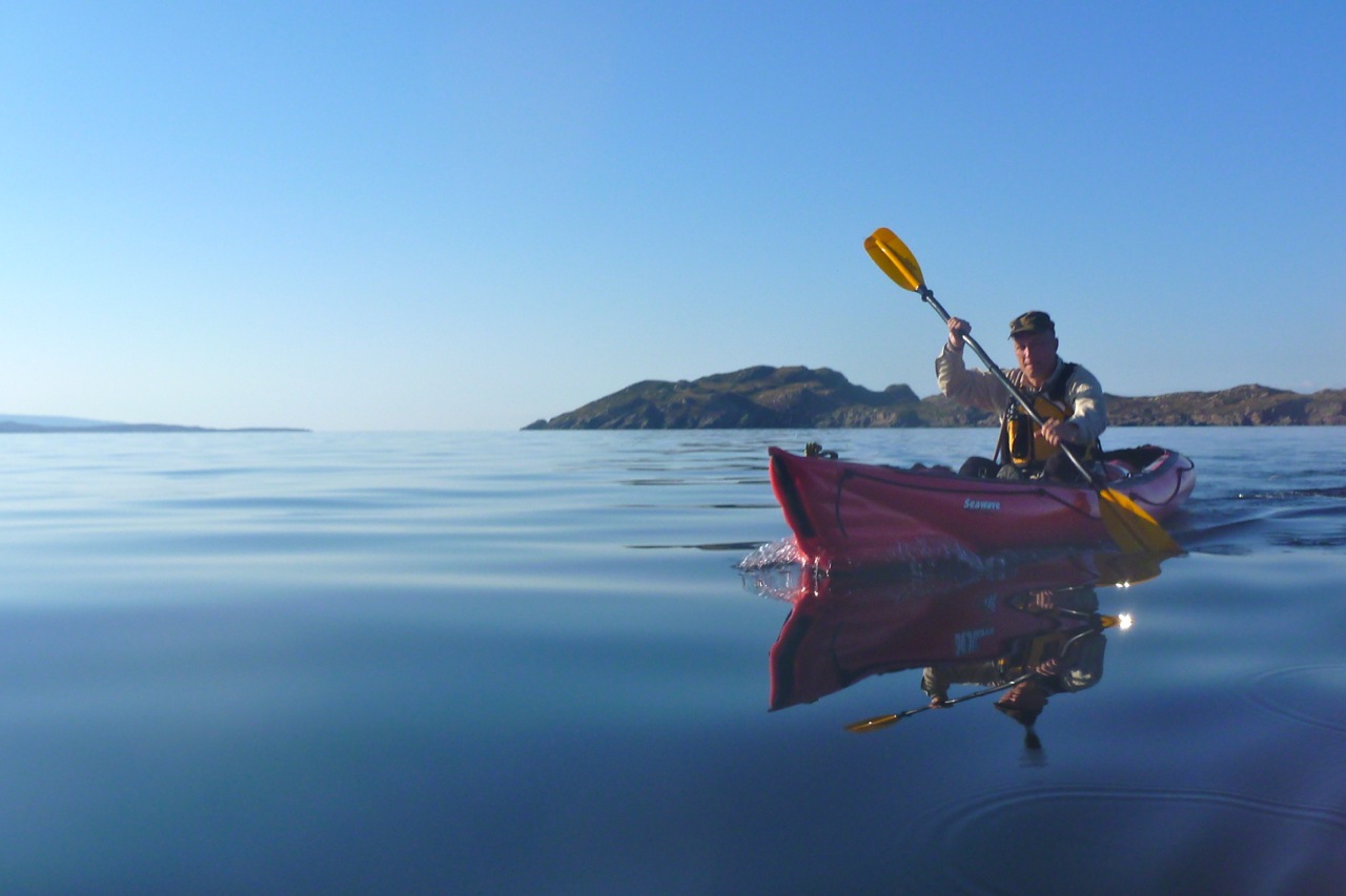
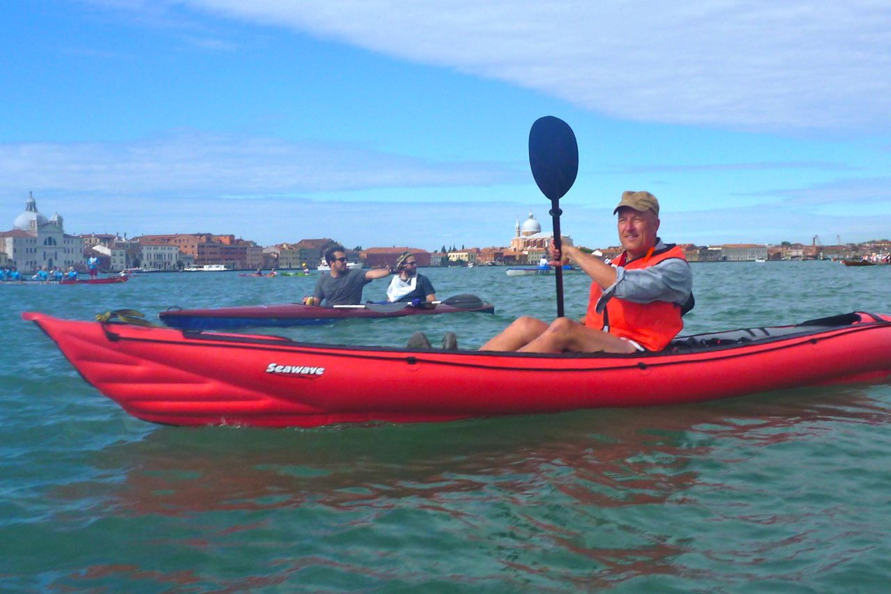
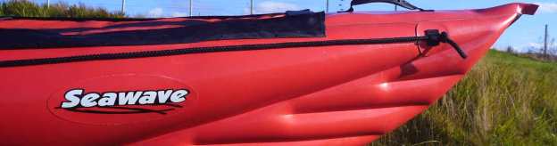
The Bottle Island run last year was 22km but pushing the bow of the Amigo had been enough of a slog to make me buy the Seawave. I think there’s barely one kph in it, but that’s nearly 20%, and with the Seawave’s many other benefits, not least its sharper bow, I can conclude that, like the name suggests, it’s a better all-round sea boat, and also that Priest Island would be a great place to revisit.
It’s taken a few visits, adding up to over a year up here, but I do declare I am running out of new things to paddle in the Coigach and Summer Isles area. A seven-mile run out to Priest Island – the very, very, very last of the Summer Isles – would be less edgy if not alone, while all the coasts from Lochinver round to Ullapool and up to the back of Loch Broom have been surveyed at least once. About a year ago that I did my (for me) epic run out to Bottle Island, just a stone’s throw from Priest.
September does seem to be a reliably good month up here. Well, better than August – an old Highland truism. Another unexpected day of blue skies and light winds with the northwest pinned between a ‘Double Zero Low’, the sort of meteorological phenomenon that gives weatherpersons the munchies.
We decide to motor off the peninsula, along the Wee Mad Road (WMR) and past Lochinver to Clashnessie – a Norse word meaning ‘Battle of the Sea Monsters’. Here we paddled out towards the high arch before Point of Stoer and the beach at Culkein for lunch..
From Culkein beach there was a clear view right across western Sutherland to the quartzite mountains of Arkle, Foinaven, and the sea cliffs ending at Cape Wrath. I thought about crossing the bay directly via the Eilean Chrona for Oldany Island channel. But it was a Spring tide going out so the flow may have been in our face by the time we reached the channel. Why wear yourself out on openish water? It would have added another 8 miles, ending with a rocky run back to the Clash of Nessies, just to explore a small area, and who knows what the weather might be doing by then.
So we headed back to Nessie beach, letting the swell you so often notice in these north-oriented bays, lift the boat as it rolled inshore to crash against the rocks. Directly ahead was Quinaig mountain (left). I’ve said it before: it’s one of the best day’s hill walks here in the Assynt. I’d long wanted to poke around the scattered skerries and islets between Oldany Island and Drumbeg. We drove up the Drumbeg road, where one time a mate and I had staggered against a gale, looking for the car after slackrafting the Lewisian barrens. Soon enough a small turn off led north to a ruined jetty at tiny Culkein Drumbeg.
Coming north, as soon as you get on the WMR you begin to see a different ecology. Hard to pin down what exactly: less bleak and peat sodden than Coigach. Perhaps it’s due to the Lewisian gneiss bedrock, because the Torridian sandstone was scraped off like an icky marzipan crust by the Ice Age and dumped into the Minch, to wash up on the beaches of the Western Isles just in time for Castaway. More birds dash about, the flora’s subtly different with a few more pockets of old-growth trees which have been picked clean or long blown away on Coigach. Perhaps the Stoer headland protects Oldany a bit, but it feels more like Plockton than the blustery northwest.
We set off for the hidden isthmus beach somewhere out here, scattering more seals as we went. Not bothering with the GPS to record moving averages, I’ve recently finally found a handy way to mount an easy-to-read compass on the Seawave, tucking it under the deck bar mount tabs. It was already proving handy to follow the NW bearing suggested by the map, out via the islets to the secret beach.
As we approached the sands we startled some hardy and doubtless Nordic skinny-dippers with their parked up Sevy Sirocco. Once beached, we politely took off in the other direction until they had regained their modesty. Soon a couple of hardshellers rocked up too – kayak rush hour on Oldany Island beach. Perhaps it’s not such a secret after all.
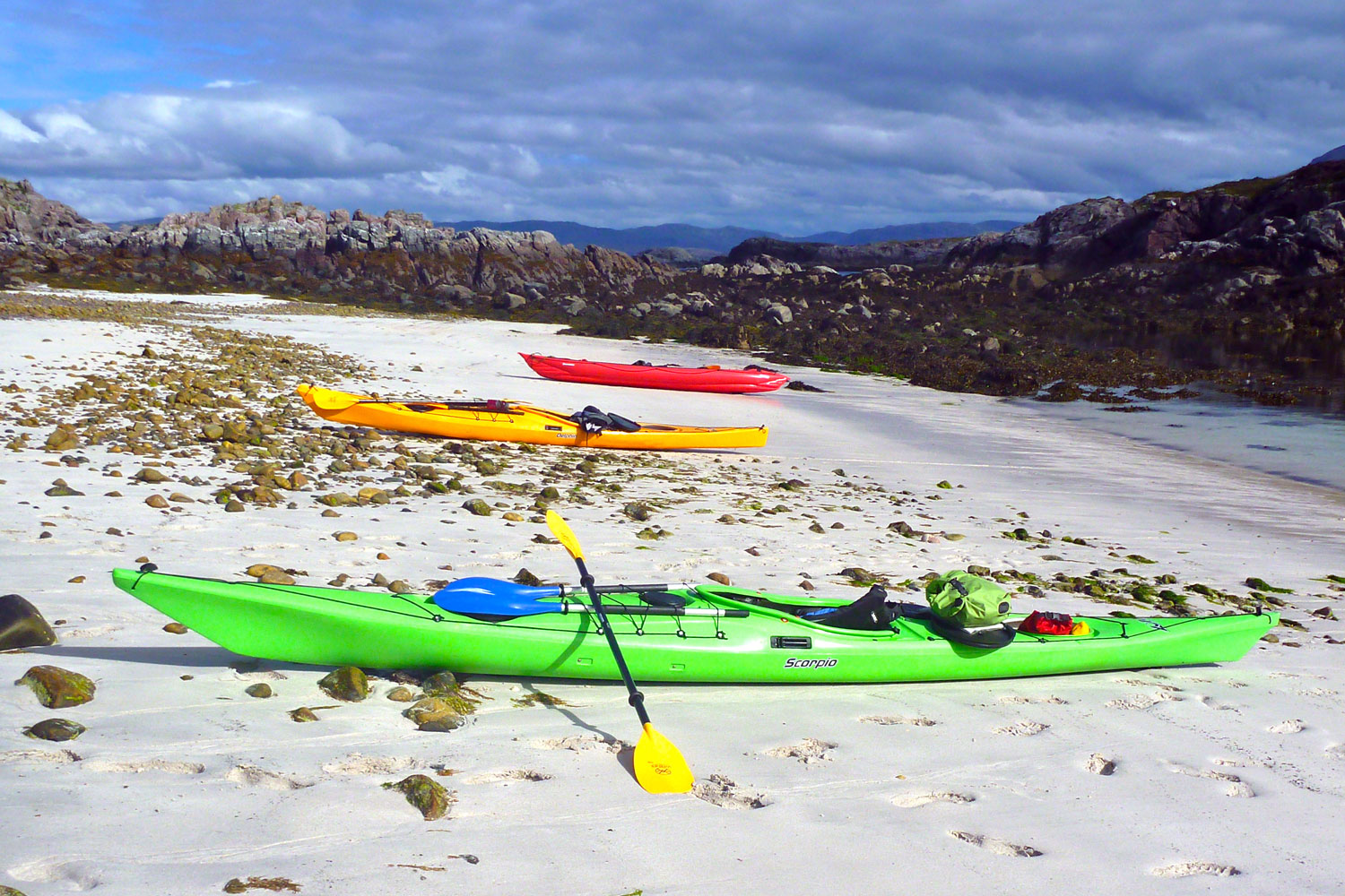
A small bothy sits perched on the spit of grass which separates the two beaches. Hardshell man told me it was a private dwelling once rented to a local doctor by the Edinburgh owners, and even had a phone line installed in case someone’s baby was born early. It was another detailed ownership report the like of which you won’t find online. Our busy beach made an altogether lovely prospect of sand, grass and the azure sea beyond, abob with skerries and distant peaks. Plus kayaks in red, blue, green and mango.
Back afloat, we took the long way back to the jetty, nipping round to the south to check out where the channel went. That could be a fun run at the right stage of a big ebbing tide. In the car, we carried on clockwise around the coastal road. Even more than the WMR, this Drumbeg road is hardly level for a moment and would be a good work out on a pushbike. Back on the main road, in Unapool we stopped off for a brew at the Rock Stop Cafe. A retired couple there were trying to track down the rude Withnailian cottage they’d honeymooned at no less than half a century ago. They’d not been up to the northwest in 50 years and Rientraid, overlooking the Kylesku bridge, had rung a bell. We told them about The Kerracher Man book which was set nearby, but about a decade later.
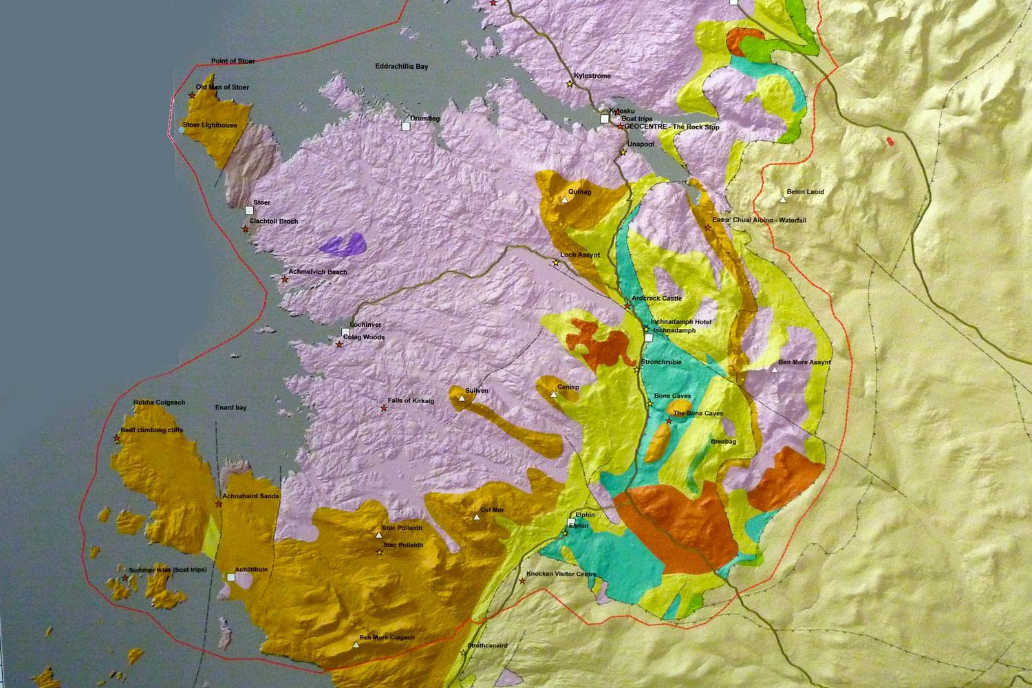
In the cafe there was Rocky Road in the cake cabinet and a geology map on the wall. Pink is your 3 billion-year-old under-icing of Lewisian gneiss; the orange is a creamy overlay of Torridian sandstone. Interestingly, the map showed Horse Island as the only Summer made of gneiss. Who’d have known? High time then to get your schist together and watch a geology lesson.
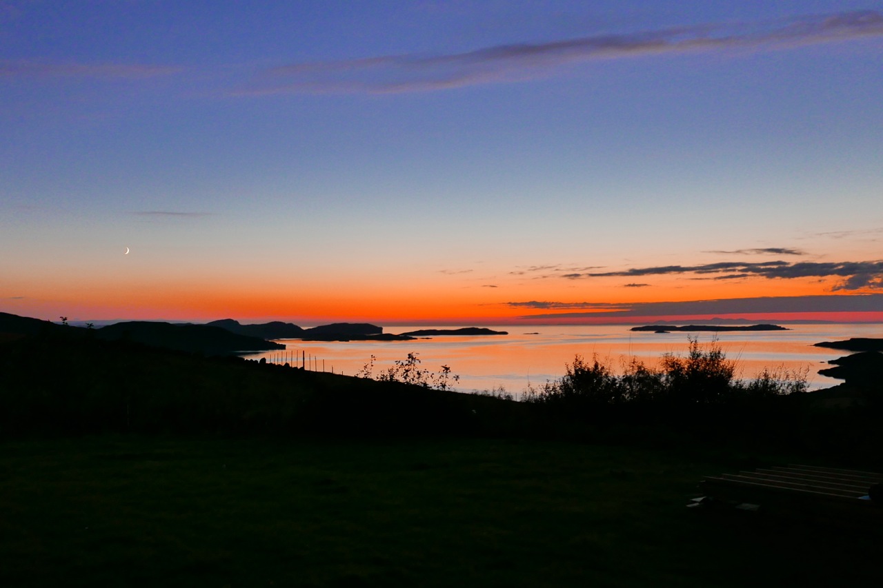
We’ve had some good here sunsets lately and even a green boreal glow a couple of weeks back. The other night the stormy orange clouds reminded me of the cover of Argonauts of the Western Isles – a great title for a lovely memoir by Robin Lloyd-Jones about sea kayaking on the west coast. I’ve only just realised it’s a take on Brondo Malinowski’s seminal 1922 Argonauts of the Western Pacific which, unless I’m very much wiki-mistaken ‘redefined the ethnographic genre’.
Actually now I see the cover, it’s nothing like my photo, it’s much worse, though might have worked without that tilted horizon. But don’t let that put you off if you’ve not read it. It’s a wonderful tale that covers years of paddling up here, from post-war bathtubs and broomsticks to the start of the sea kayaking boom.
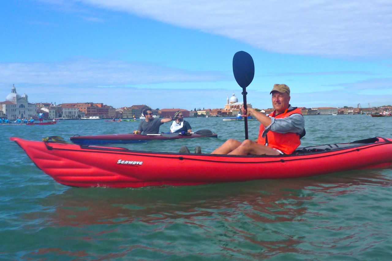
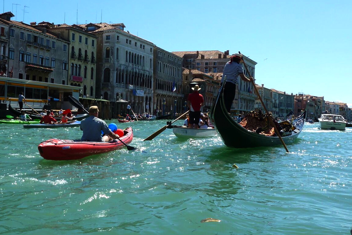
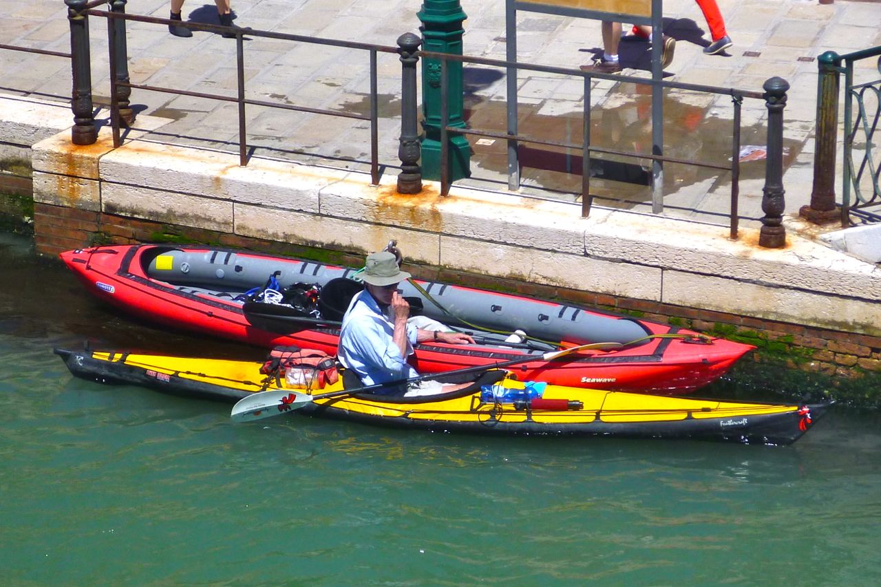
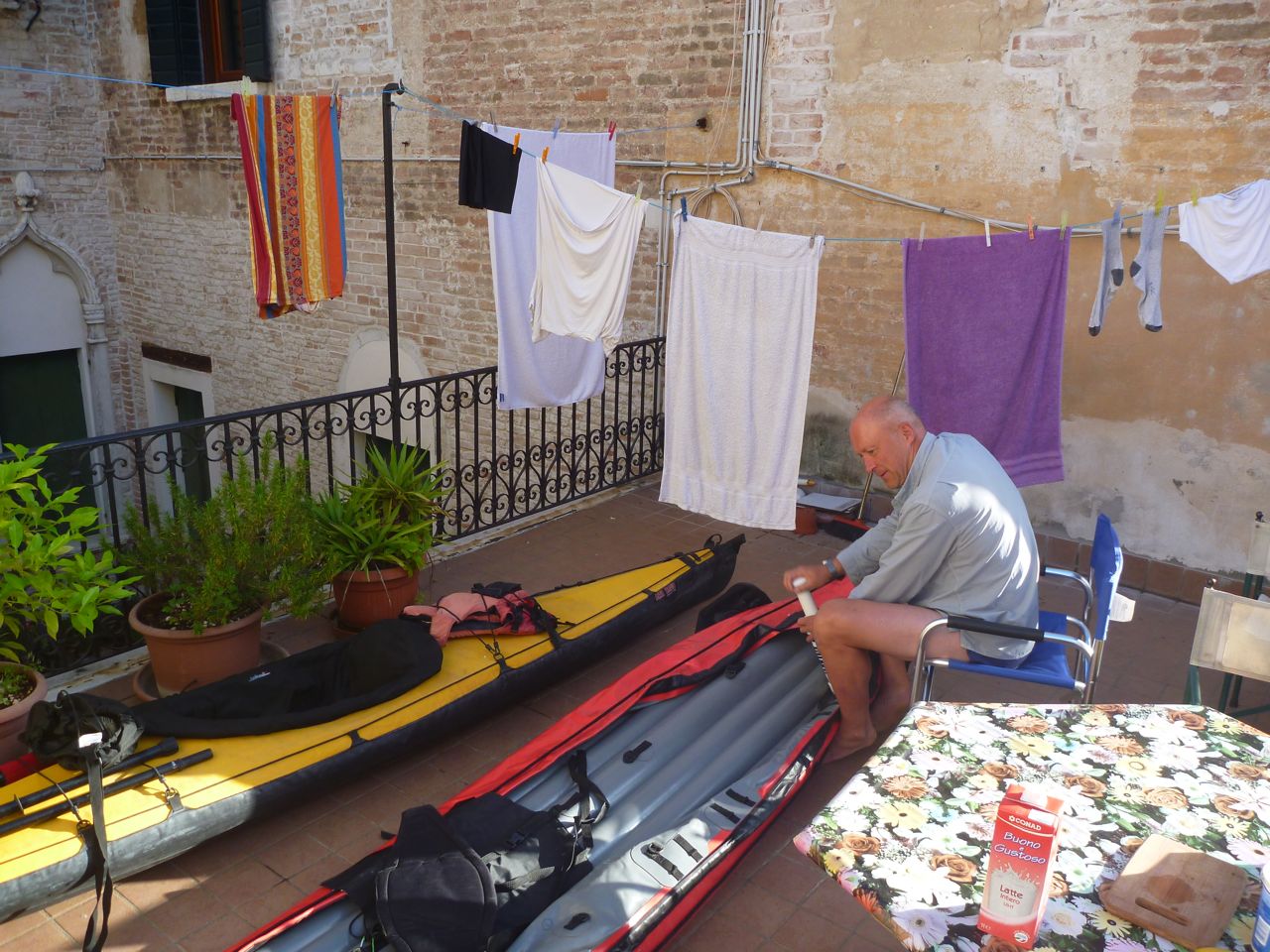
I’ve had the Seawave a few months but paddling in Venice last week was my first proper outing. Venice lagoon was pretty calm on the day – there was more wash inside the Grand Canal from the vaporetti water taxis. It may have been calm but some 34kms without a river current and some tidal flow is still a pretty good outing.
It was an opportunity to try my high pressure modification. I’m running 35% more pressure in the side tubes (4.8psi as opposed to the advised 3.6) but have fitted PRVs (pressure release valves) rated at the higher pressure to prevent the boat getting damaged if it gets hot. Full story on how I did that here.
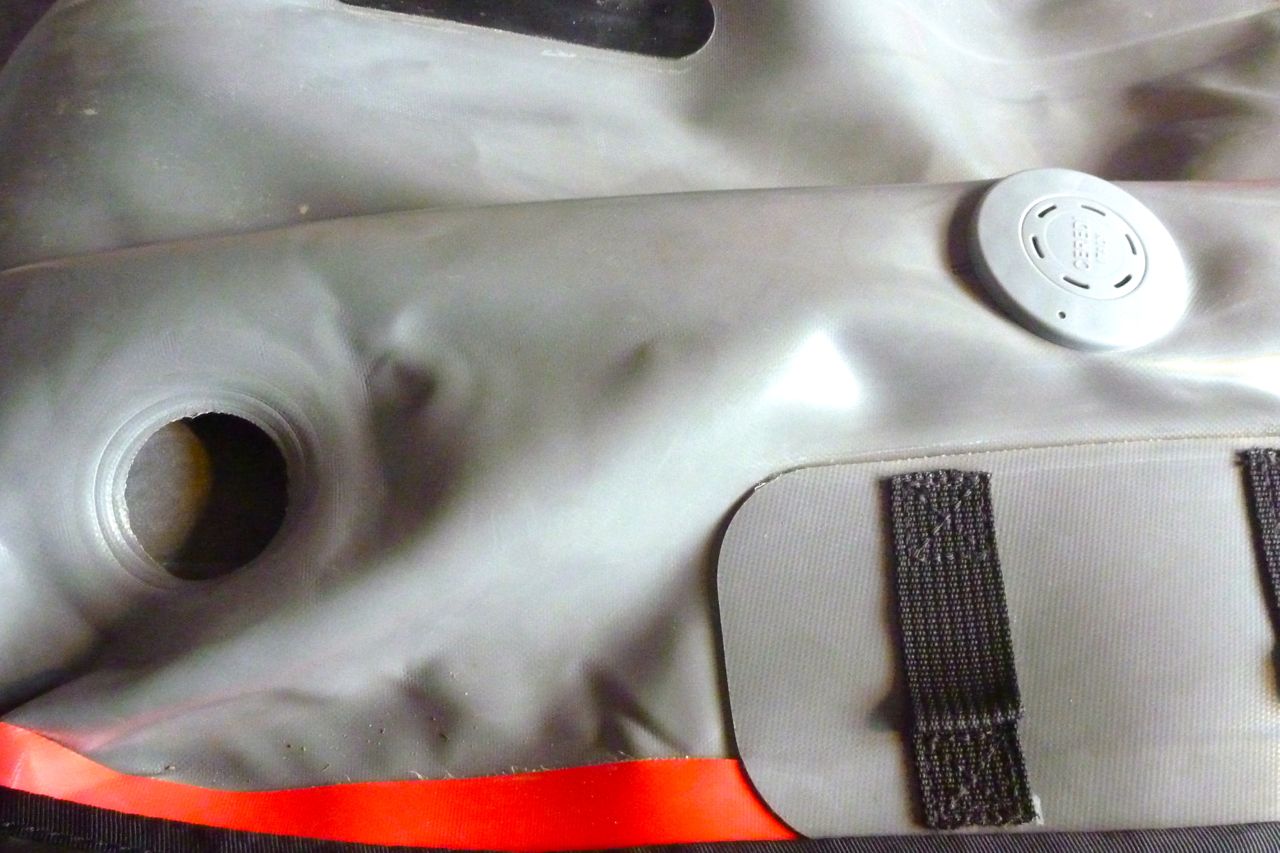
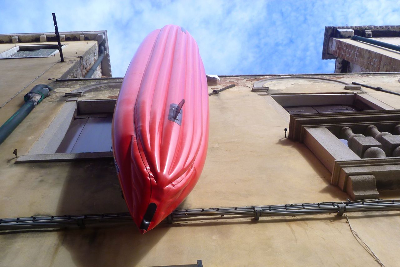
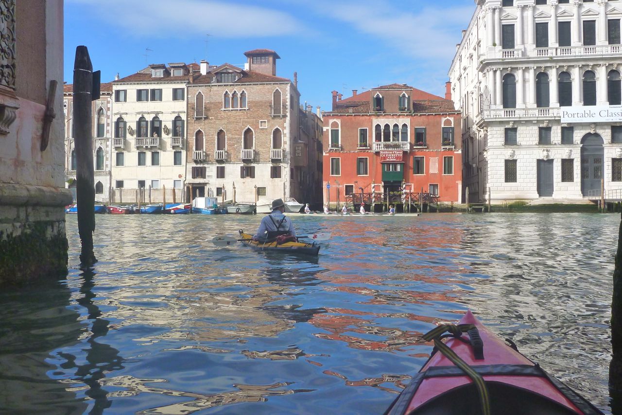
It took about 15 minutes to pump up the Gumotex with the compact K-Pump (left) but before we lowered it down to the canal (above) it went flat. Oh dear – did I do something wrong? Turns out one side-chamber inflation valve (not new PRV) was leaking. I unscrewed it, blew at it, put it back and it held all day. Probably just a bit of grit, though that’s never happened to me before.
My impression was the high pressure sides made the Seawave faster and more responsive – well it’s bound to, isn’t it. Returning to the apartment I didn’t feel like I’d paddled 21 miles, though I can’t say I was full of beans next day and my hands were swollen from using my 4-piece paddle (easier on Easyjet) instead of my bent Werner Camaro. I found it easy to keep up with Steve in his big yellow Kahuna and even found myself passing the odd hardshell sea kayak or double folders. On earlier trips in the Amigo I couldn’t catch the Kahuna. All those benefits might change in windy or choppy conditions, though there’s much to be said for an IK’s stability when things get gnarly.
So three cheers for my Seawave HP. The short terms gains of high-pressure sides are not so elusive, of course. What remains to be seen is if running the boat 35% over the factory-advised pressure affects durability – ie; did I go too far choosing the PRV setting. I doubt it as poking the sides felt very much like my previous 2psi Gumo kayaks on a hot sunny day. The sides being less in the water will always be prone to getting warm and tight but have no I-beams to get stressed like the floor. Those boats never suffered so I’m sure the Seawave can hack it.
‘Viva La Vogalonga! Viva Venezia! VIVA SAN MARCO!’
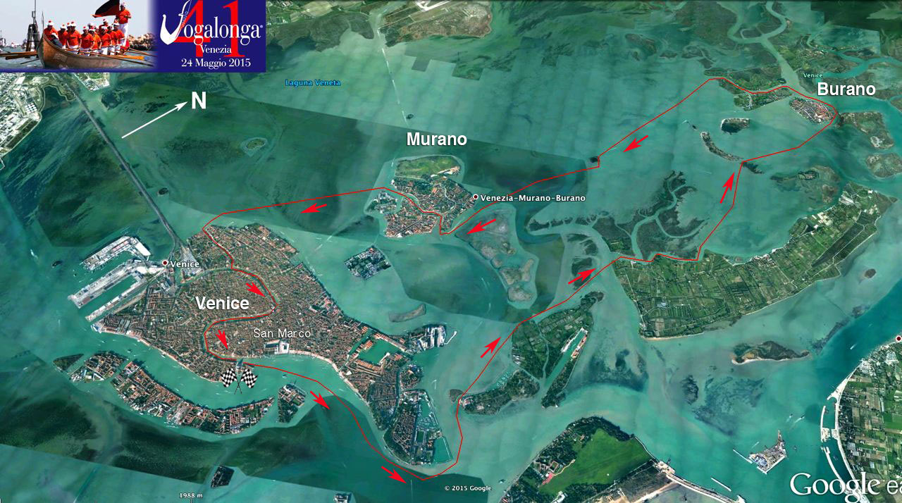
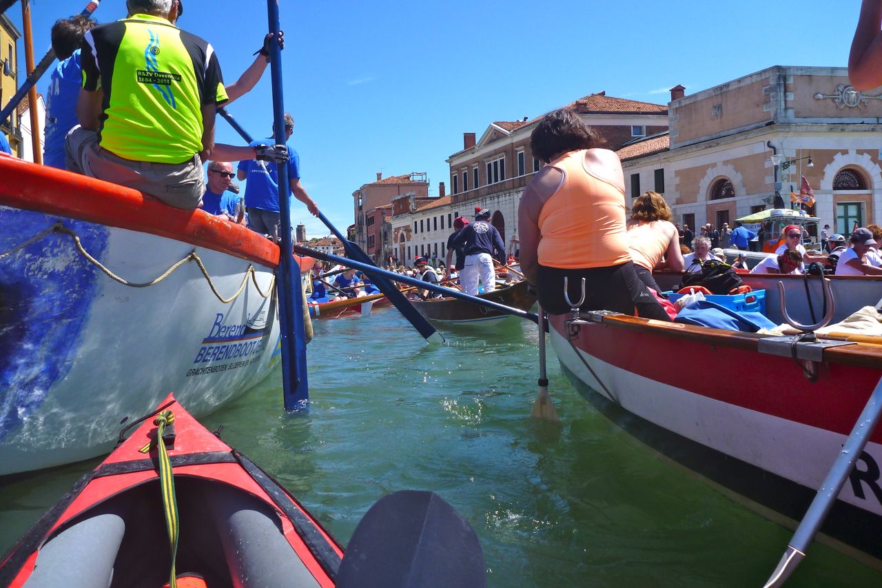
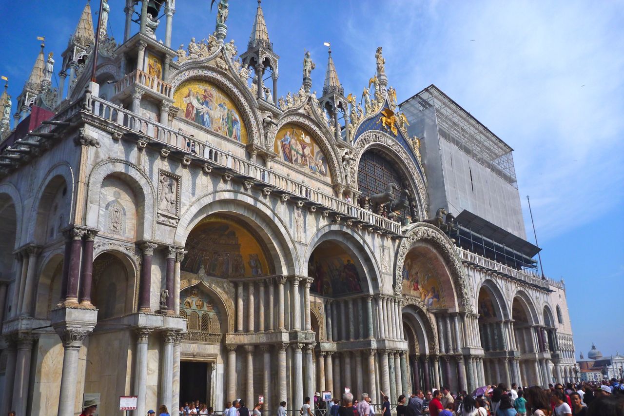
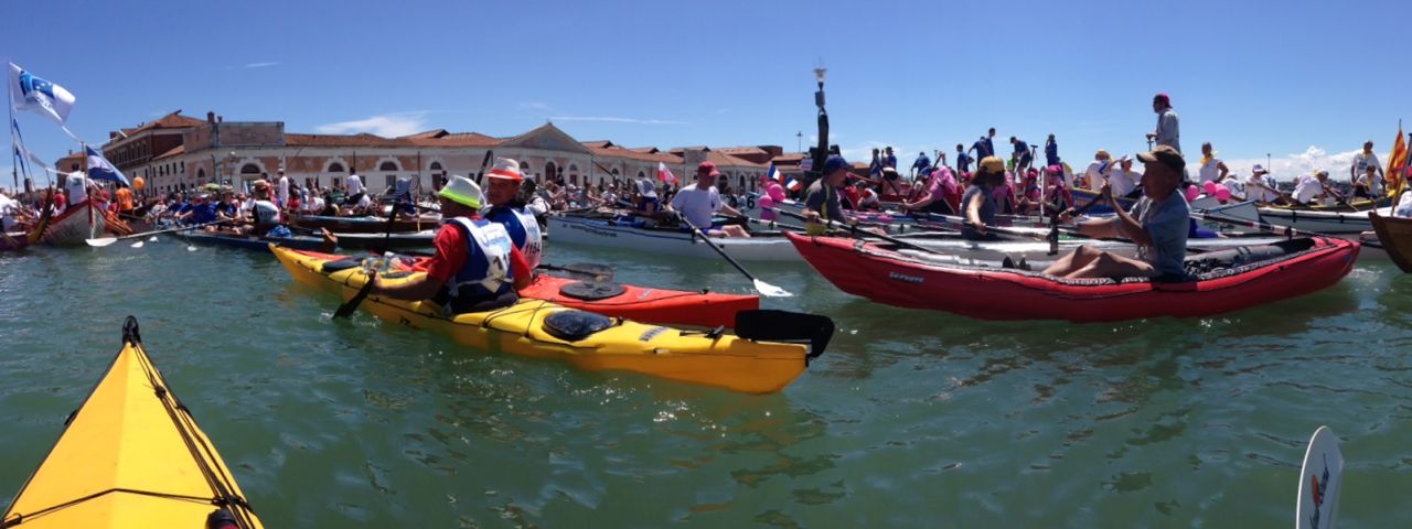
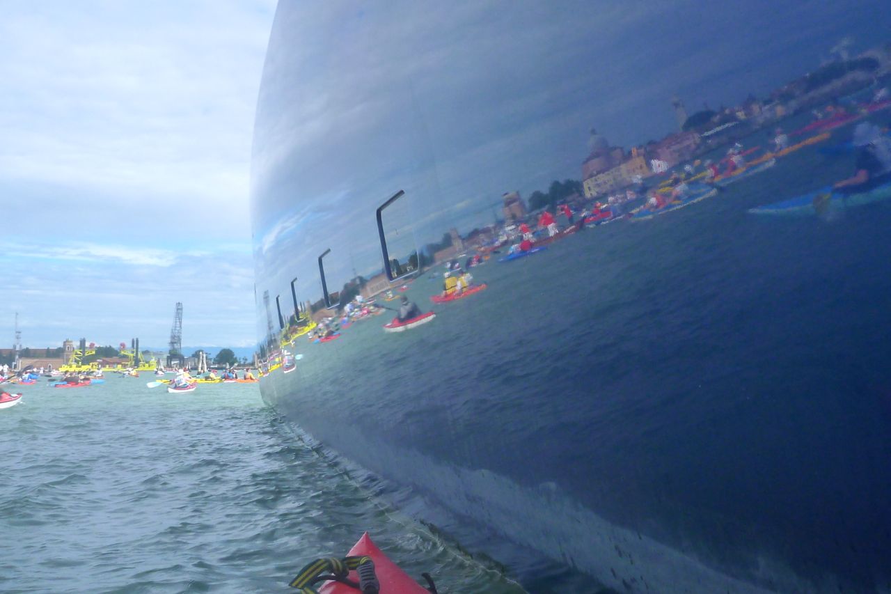
With the above proclamation and a shot from a cannon the 41st Vogalonga, a huge paddling regatta, got underway.Fettuccini’s stirring aria, La Forcola boomed from the speakers and the colourful, hand-powered flotilla pulled away from of the east end of Venice’s Grand Canal opposite Piazza San Marco and set off alongside the classic Venetian vista.
Not that it was any kind of race, you understand – and it was pure coincidence we happened to be at the start on time. You took as long as you chose over the 30-odd kilometres up to Burano and back via Murano to re-enter Venice from the other end of the Grand Canal. There was no starting line or prizes for first place or wackiest outfit.
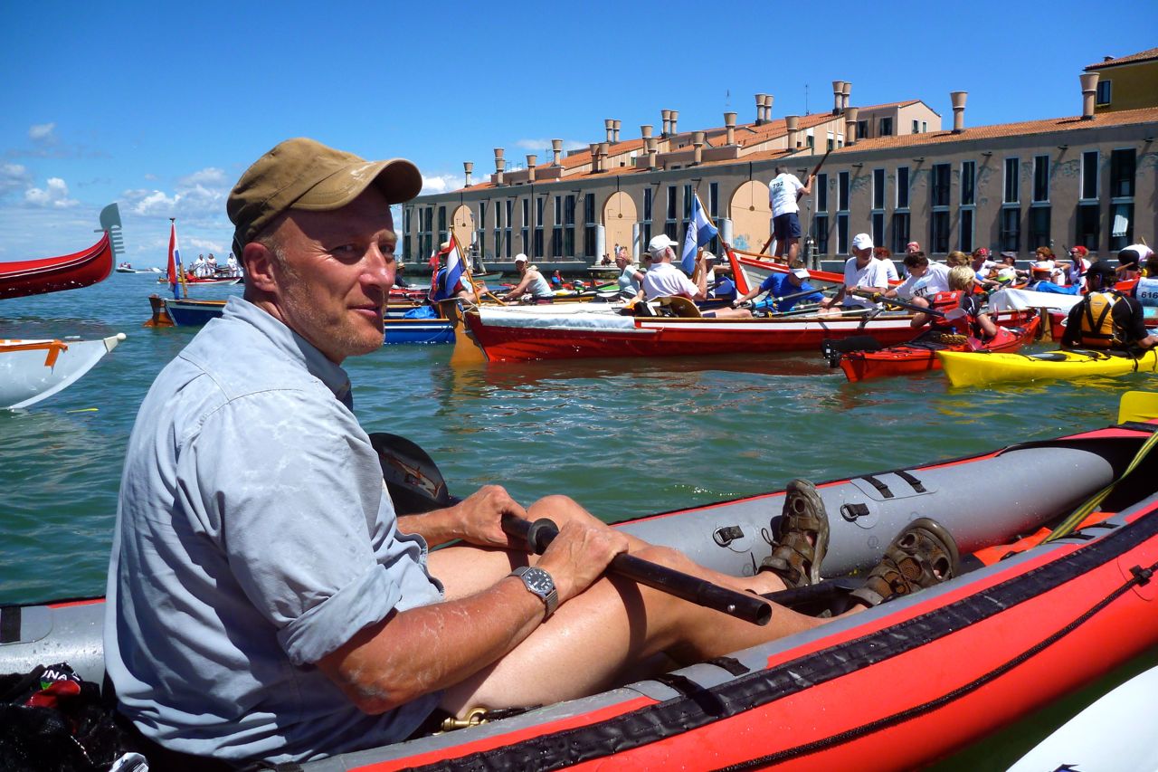
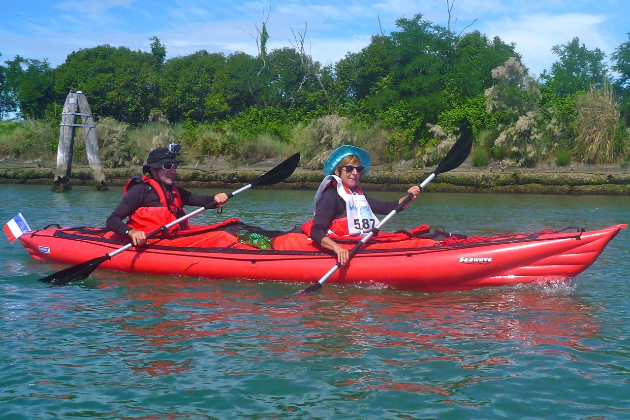
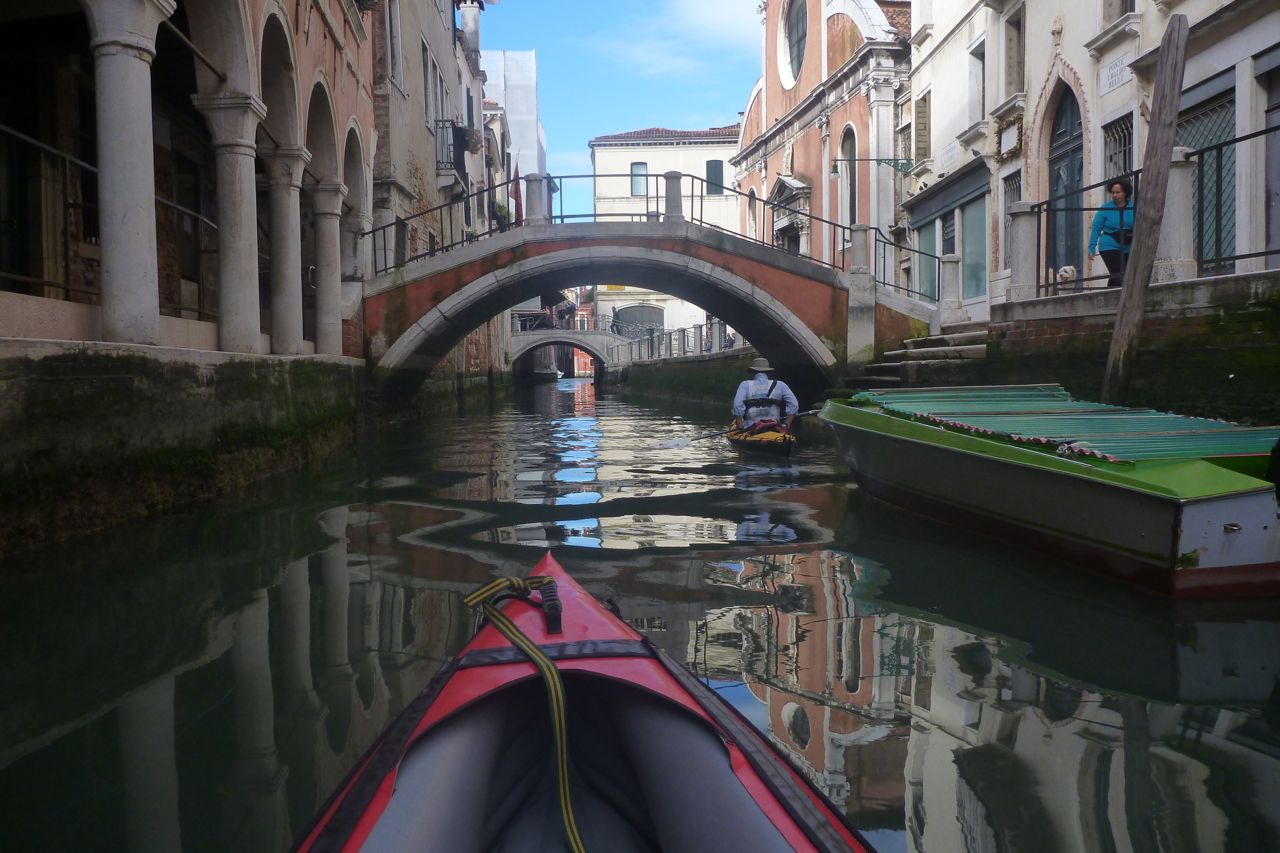
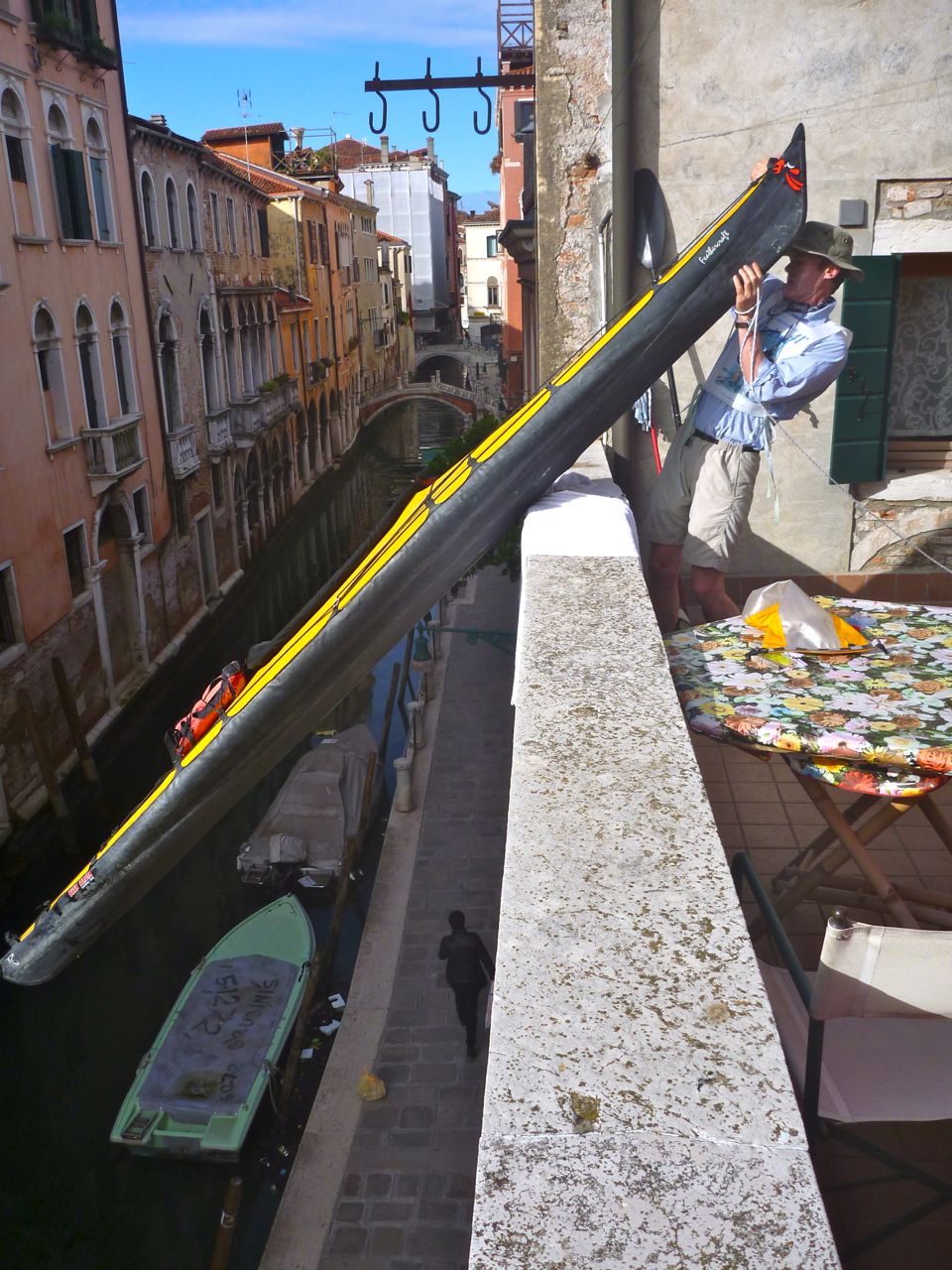
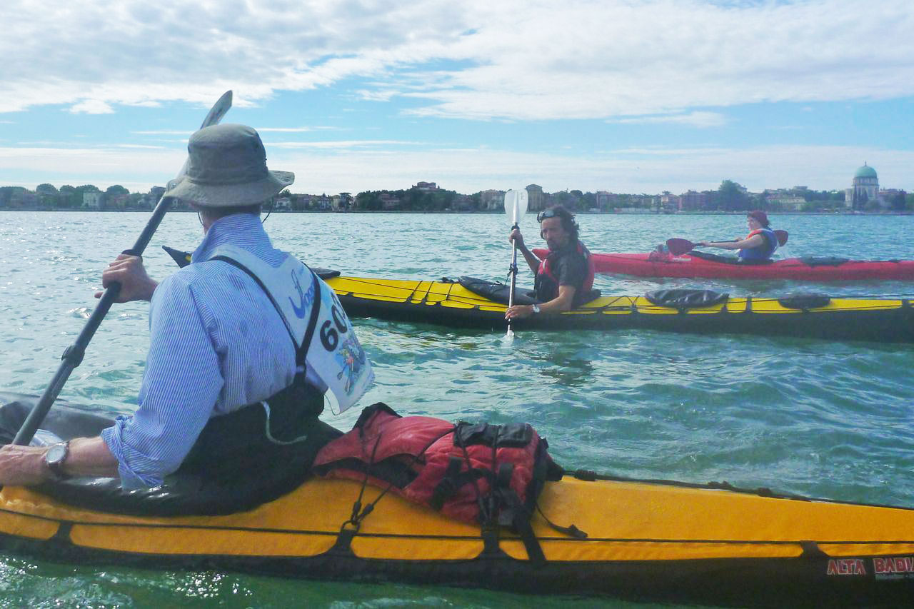
I flew in the night before and on the day Steve and I lowered our boats off his mate’s canal-side apartment balcony and set off to join the melee. Soon I realised I was in Italy not in a BCU training video: the official bibs were optional (included in the €20 entry fee along with a t-shirt, poster and certificate) and so were pfds. After all, who’s ever seen a rower or a gondolier in a pfd?
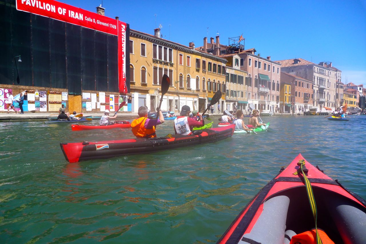
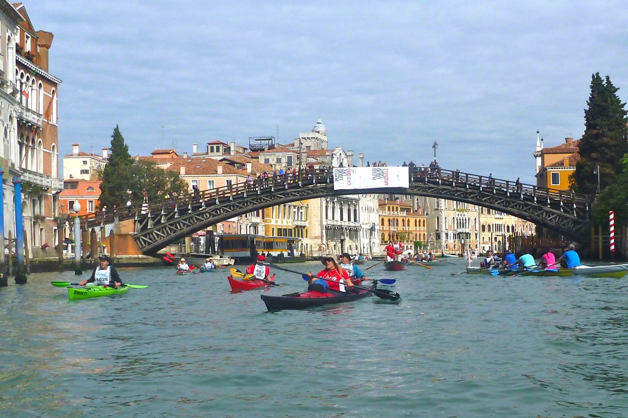
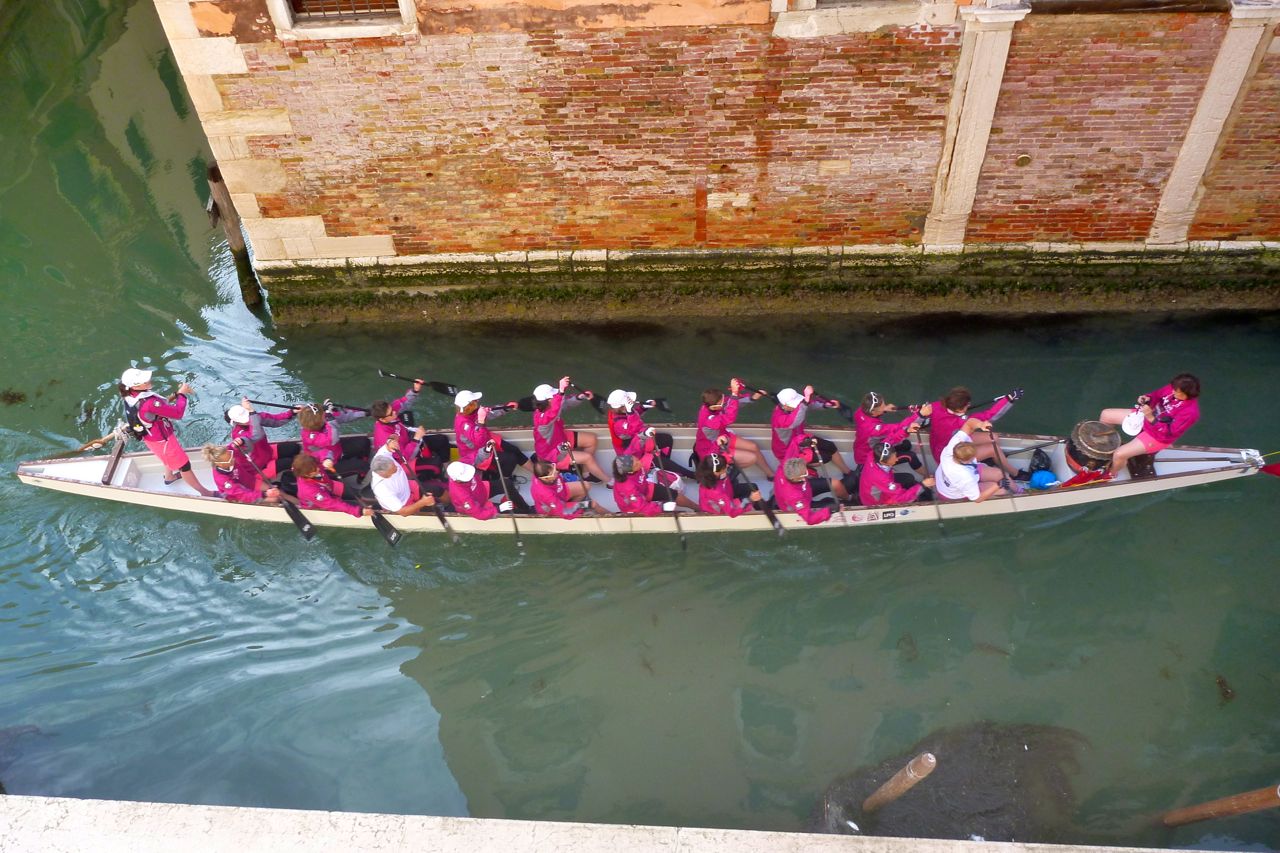
Around us was every type of paddle or oar boat under the sun, from 20-oar-power dragon boats paddling to a drum beat like in Ben Hur, four-up forward standing ‘frontelli‘ rowing skiffs, right down to inflatable SUP boards you could carry under your arm. Kayaks were probably the most numerous craft as this is one day you can cruise down the Grand Canal without getting terrorised by the vaporetti water taxis and their wake.
Out past San Elena point we dragged our left blades and pivoted north. The snow-clad Dolomites appeared on the horizon (left) which also sent in a light breeze giving us something to lean against. IKs and packboats of all shapes and sizes bobbed around me: Gumos, Kleppers and their klönes, Grabners, Feathercraft and Sevies. Passing islands or tidal mud flats became uninhibited pee stops as people joined in the paddle-powered cavalcade.
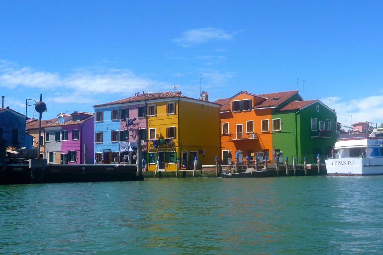
Turning round at Burano, the cooling effect of the breeze dropped off and the 5km open water haul to Murano was hot work. Three hours in and you could see all around the pace was flagging, not least when some tidal eddy made the last stretch into Murano a bit of an effort. It was here that Venice’s precious medieval glass industry flourished; I’ve come across Venetian glass beads in places as remote as Tichit in Mauritania.
Just two Sorbettos – only €15 – then we rocked up at the other end of the Grand Canal where a huge bottleneck of paddle boats had built up at the entrance. It turned out the narrow Ponte dei Tre Archi was the cause – it could only take one rowed boat at a time and with some 2000 boats to filter, the police were trying to keep some order. Dodging low flying oars and prodding prows, it was all a good-natured bundle back into the canal where things quickly eased up for the home run back to San Marco, passing the Grand’s iconic palazzos, well-wishers cheering from the ponti and the acclaimed waterside vistas of La Serenissima.
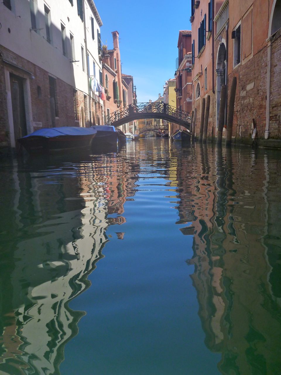
Within hours the vaporetti taxiboats had reclaimed the Canal from which it’s said kayaks and the like are excluded except to quickly nip across. But I see now that you can still have a great time paddling around Venice and the lagoon as long as you keep off the main canal and ferry channels, and out of the congested gondola tourist circuit between Ponte Rialto and the Bridge of Sighs. That still leaves plenty of quiet back canals to explore as well as the sheltered lagoon and its countless islands. Bring your packboat to the 42nd Vogalonga. If like me you’ve never been before, it’s a great way to tick off Venice.
I gave myself about two weeks to get as far as I got along the Lycian Way (above; ~500km), with plans to paddle here and take days off there.
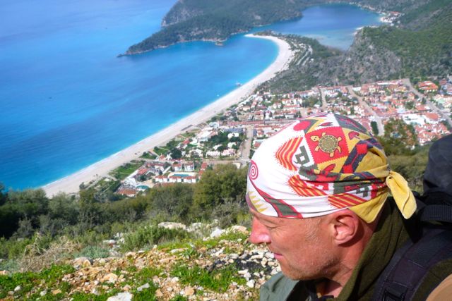
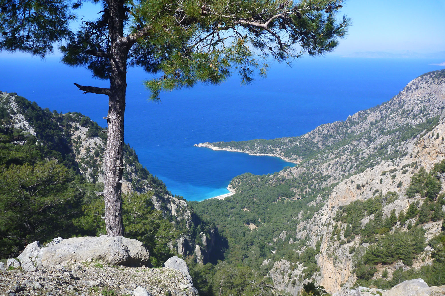
The walk starts just south of the village of Ovaçik, a 20-minute bus ride out of Fethiye, and soon gets stuck into a long, rubble-path climb up and around the 700-m headland below Baba Dag mountain – a pattern which turned out to be a typical day on the walk. Up here above the pines tandem tourist paragliders dangled just overhead on their descent to the much-photographed beach at Oludenizlagoon (left).
I filled up from one of the many springs and had a relaxed soup lunch, trying out my new stove on a grassy bank. But by the time I reached Faralya village 12km in, I was in need of a quadruple pancake and a fresh OJ. There were lodgings here but despite a late start it was only 4pm so I carried on to Kabak village and, having covered 20km, camped just beyond on an old olive terrace. A few others were doing the same as it became clear this walk was more popular than I’d expected.
The great thing with camping is you’re on the road at 8am – the best way to get the miles in and a cool time of day. The trail’s shady inland option (left) climbed and contoured round a steep valley strewn with small landslides and popped out into the sunshine at Alinca village overlooking the sea from nearly 800m. Though I was searching for it, I missed the waymark near here for the coastal route to Bel so ended up taking the inland option via Bogaziçi village (shop) and the deserted ruins of Sidyma. I’d not bothered referring the guidebook once I realised how poor the map was and how plentiful the red-and-white waymarks were most of the time. It was actually a very agreeable stroll along empty roads past wildflower meadows, vine-drapped farmhouses and gushing springs.
Sidyma was my first sighting of the distinctive, free-standing Lycian tombs carved from solid limestone (left). With all the spring-fresh verdure and distant snow-capped mountains it added up to a classic Lycian vista. And this was only day two. In the adjacent village ancient inscribed blocks were embedded in the mosque wall. I stopped for a double chai in the pension then tackled an annoying section up an unmarked streambed but just a short distance from a parallel road. The trees and gorge nixed the GPS for a waypoint so I hacked out through the undergrowth onto the road. From here it was a tiring haul up to a pass where a bucket and cistern were just what I needed. I was carrying just 500ml of water and I wasn’t snacking or resting unless knackered – more or less the opposite of what I do at home and what you should do on the trail. But I had some excess winter fat to shed and tend to press on when alone. Refreshed and on the way again, not every LW deviation is futile: an enjoyable path dodged the road down to Bel village (left) where a boy led me to Fatma’s great pension: a warm welcome and the works for just 50TL. It had been a 22km day.
I teamed up with Christine and Fred who’d also stayed at Fatma’s and recommended the vertiginous southern route via Gey. I admired their professionally produced and pocket-sized German LW guidebook. That plus six eyes being better than two, we untangled the morning’s route anomalies until we reached the long, steep, loose descent back to sea level (left). Fred was zipping along with his twin poles but I wasn’t on form today, slithering and tripping on the rocks and vegetation until I finally fell onto a knee. Was it my clumpy, stiff-soled boots, the 17-kg pack or cumulative dehydration? Probably a bit of all that and more but to the very last day I never shook off this unbalanced and unusually fatigued state on the LW.
At one point we stepped over a chain of nose-to-tail caterpillars on the march. I’d never seen anything like this but it brought to mind the challengingly scatological film, TheHuman Caterpillar. Trust me, do not Google it. As we lost height I caught sight of the deserted expanse of Patara Beach (left) which I hoped to paddle in a day or two. At the bottom I was talked into a breather under the shade of some olive trees (below left). These levelled terraces make some of the best camping or lunch spots on the walk, especially if there’s a water source nearby. We blundered through the few houses that make up Gavuragili and then – as you do when chatting in a group – failed to note our books’ instructions to walk back along a newly sealed road on joining it, rather than onward as we did. RTFM, MF. At the next waymark a couple of clicks later the LW was returning to the road but we thought the opposite and followed it into the hills in the wrong direction for half a sweaty hour. There were other occasions when I got into a muddle and temporarily lost track of whether I was going in the right direction, especially away from the generally eastbound orientation. The answer of course is an iPhone and app with tracklog, but I’m still too old school for that. In the meantime, I could sense I’d become badly dehydrated and reaching boiling point. Breaking the pace, I took time out and knocked back a Rehydrat with my last 200ml of water. When you’re that far gone it’s amazing the difference this stuff makes – it’s like having an injection. Within a minute I knew I had another hour in me before I’d start staggering again.
We retraced our route down to the road and a short while later were sipping fresh orange juices at the riverside Ozlek Pension near Pydnai fortifications (left), a castle wall but with nothing inside the battlements, like a film set. We’d done only 15km but by now it was too late to try to reach Kinik/Xanthos as planned, so we lodged here for the night. The 45TL B&B raised my suspicions. Why not half-pension as there’s no resto for miles? Sure enough the genial owner finds a way to charge as much again for an evening meal, despite proffering gifts of fruit and other promises. Paying 45TL for B&B is OK, but be warned if you eat more here. I guess business is business – that’s how empires grow.
We’d reached a broad flood plain where the Xanthos or Esen river meanders to the sea. To either side the marshes have been reclaimed and crammed with a dense canopy of tomato greenhouses (left), the biggest in the land they say. It’s not a picturesque sight – a vegetarian abattoir or factory farm – but that’s where food comes from these days and I love tomatoes.
This contemporary monoculture quite literally pressed right up against the remnants of the Lycian state. My plan had been to continue to Kinik town to inspect the former Lycian capital of Xanthos (left), then leave the LW and ride the winding river 15 km back to the sea and paddle the shore 6km southeast to Patara where I’d re-join the LW. This idea worked all the better as hereabouts the LW takes what’s said to be a dull inland excursion around the intensive cultivation before dropping back down to Patara (see map, right). Many walkers choose to bus it.
Still with me? Well now I was at Ozlek alongside a smaller stream and just a kilometre from the sea. So next day I checked out amazing Xanthos by dolmus with the Germans, said goodbye then walked 8km back to Ozlek via Letoon ruins and instead prepared to paddle the full 12km of beach to Patara next day (I told you to click that map, above right). We’d walked over to the seashore one evening (left) for me to get a measure of the beach and confirm a sea paddle was doable.
Things had looked nice and calm that evening but came the day, as I inflated the boat I could hear the sea a kilometre away – not a good sign. I put in and set off anyway down the Ozlem stream towards Pydnai and the sea as I could always just walk along the beach if the sea was too rough. And sure enough at the estuary, a southeast headwind was kicking up a chop better suited to surfing than solo packrafting (right). I tried surf-hauling for a bit (left) but that didn’t work so I yanked the Alpacka’s cork and set off for the walk to the Xanthos river estuary which would have to be paddled, no matter what.
Despite apprehensions about whirlpools thrown up by the tide meeting the river current, that crossing was completed in about 55 seconds. As I’d anticipated, the masses of greenhousing to either side had sucked the power out of the turbid current I’d seen under Kinik bridge yesterday. I could probably have swum the river using my UDB as a buoyancy aid. One little bridge or hand ferry and this would make a fun detour for boatless walkers on the LW. As I neared Patara a mini convoy of Turkish women in full burkas passed by on quads.
I rocked up at the Patara beach shack where no one was swimming. I scoffed a couple of Magnums, pleased to have actually achieved something that needed the boat, even if it wasn’t the full day’s inshore paddle I’d planned. There might be another chance for a longer beach paddle at Finike in a few days. I walked into Gelemiş village, slipping past the Patara entry station from the ‘inside’ and checked into a cushy pension out of the LP guide. Then that evening went back to check out the extensive ruins of ancient Patara, Lycia’s former seaport, still dodging the now unattended entry station. All up that added up to 18km + 1 in the boat.
After a great meal at the Carpe Diem resto in Gelemiş, next day I tried to follow the southern coastal route via Yeliburun to Kalkan, but this time couldn’t dodge the entry fee at the booth.
‘But Sir’ I mewled. ‘I’m not going to Patara ruins. I am a poor wayfaring stranger on the Likia Yolu bound for Yeliburun.’
‘No matter my friend, it is all Turkish heritage‘ he said with a grin, having clearly dealt with hoards of penny-pinching backpacking scum over the years. So I coughed up my 5L and told him about my beach walk and epic estuarine traverse.
‘So you are like bear grease?’ Bear grease? Some local anti-mosquito remedy?
‘Oh Bear Grylls!’ He was taking the piss out of me. Touché amigo, that was well worth the £1.32p. Seeing as I’d been hammered with the fee, I figured I may as well return to Patara and inspect the now-open grand Assembly Hall of the Lycian League in full daylight.
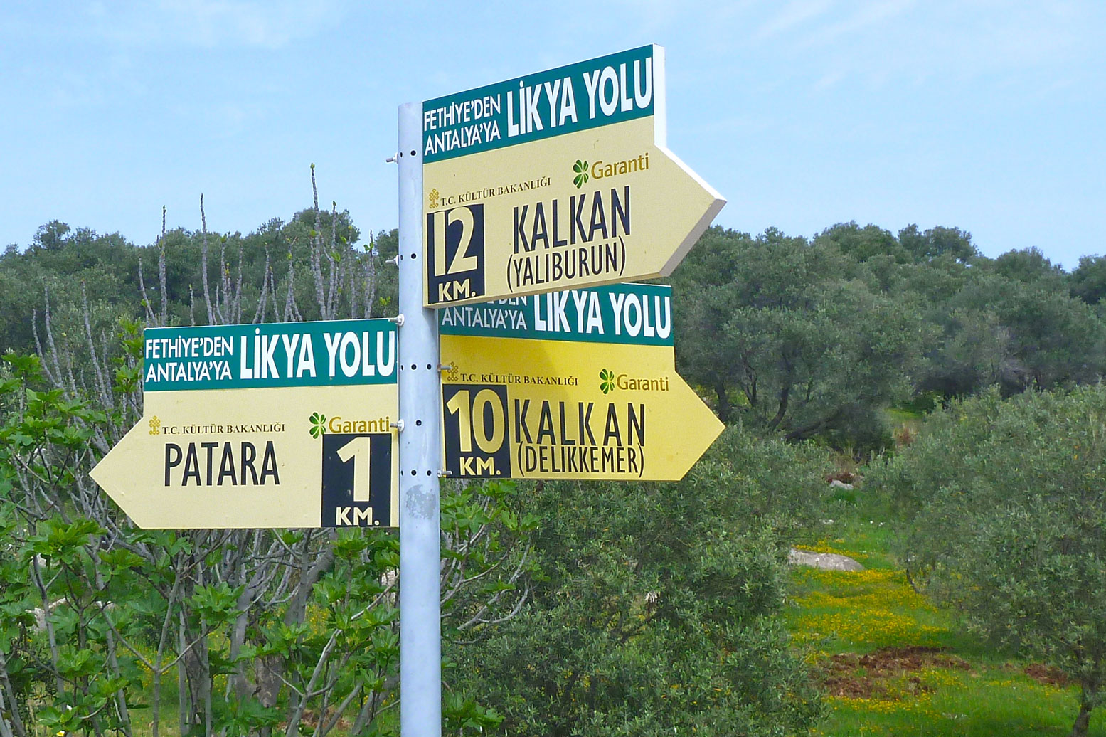
With that done, the karmic currents were still against me. Though I may have misread the book and map (making my surroundings fit the map – a common mistake with navigation) I was still following the odd red and white waymarks but which only led to a dead-end of dense scrub. Confused not for the first time, I reoriented myself with the GPS and an oblique interpretation of the map, then nailed it cross-country to a waypoint where the incoming and outgoing routes of the LW met (above left). These yellow signs, sponsored by a bank, are fairly infrequent by the way. They’re supposed to be set where the LW leaves a road but can appear anywhere. You might see a couple a day compared to a couple hundred red and white waymarks.
Finally back on track, I’d eaten into the day with my haggling and ruin-spotting so decided to take the shorter northern route towards the Delikkemer Roman aqueduct. The book describes the aqueduct as a ‘siphon’ which sounded intriguing if not a little far-fetched. In fact, it’s an ‘inverted siphon’ which is nothing more than a downhill hose with a bit a of slack in it (click image left for more info). The wall supporting the channel bows as it drops between two hills but all it did was save on the stonework or arches of a full-height aqueduct rather than bend the laws of nature like Uri Geller in the twilight zone. Clearly, by now I was becoming unfairly blasé about the monumental achievements of the ancients.
At this point the book had advised I send my pack onward by bus as the coast-hugging trail to Kalkan entailed some exposed scrambling. How and where I organised this portage was not explained but by now I was becoming accustomed to the book’s tendency to underplay the practicalities and difficulties while rabbit on lucidly about the Way’s historical marvels and the genus of the fauna underfoot. In my experience, it’s rare that a guidebook author can master both the practical/logical and literary/historical elements of a guidebook like this. It’s either left brain or right brain. So I set off overloaded but forewarned and took my time inching my way at 1kph to the outskirts of Kalamar, a villa-packed outlier of Kalkan. The waymarking was good bar one unnerving occasion – and it needed to be. I wouldn’t have wanted to be some casual day hiker tackling this in their cotton deck shoes and slacks. As with many coastal stages on this walk, one inopportune tumble ending with a cracked skull and you could not be found until it’s way too late.
It was a humid, overcast afternoon and as usual my perspiration index or ‘PI’ was off the scale. In retrospect I’d have been much better off scrambling down to the cove where a pair of yachts were moored, but wasn’t sure about tackling the steep clamber only to find a 1-in-1 rock slope dropping into the water, making deploying the packraft awkward. In fact I see now in the photo left and on Google Earth that there’s a small beach about 700m directly south of Delikkemer. that was a missed packrafting opportunity.
I arrived in Kalamar as a few spits of rain rinsed my salt-encrusted face, feeling really quite pooped from the effort. I took a selfie and seeing it later didn’t recognise myself. The last time I looked like that, red-eyed and hollow-cheeked, was towards the end of a 29-miler on the Pennine Way.
With waymarks now absent or not worth following, I ricocheted east towards Kalkan centre, passing sun-dried ex-pats living the Mediterranean Dream while I tucked into a tub of Håagen Dazs with my knife. I really was a sweaty, grubby mess. With the help of the map in the LP I located Gul Pension run by a cool guy who didn’t lay on any fake ‘hey traveller, howya doin’?’ charm like the place in Gelemiş. A bit like dune driving in the Sahara, on the Lycian Way you become protective of your hard-won elevation and Gul was way up at the top of town, close to the bypass. Just over the road was a Carrefour supermarket and here my strict dietary vows collapsed as I drooled dizzily among the dazzling aisles like an Aborigine plucked from the bush. Gul man recommended a local cafe a few doors up and like most nights, after only 13km I was out by 9pm.
It was a much colder next morning in Kalkan. Up at over 3400-feet it would be downright chilly and probably raining. Long-trouser weather. After breakie on Gul’s panoramic terrace, I set off for the short walk along the bypass to the point where the path headed up to an 840-metre pass for Bezirgan village, a world away from Kalkan’s chic eateries and estate agents on every corner.
Later I met others who’d also got lost leaving the road after which the track ended with no waymarks. My solution was to simply set off directly uphill towards pylons probably from a small village where a domed cistern marked the way to the next stage of the climb. But by chance, I stumbled across the red and whites, followed them for a bit, lost them again and arrived at the cistern where a long mule path led up to the pass. A week in, my legs were now hitting form and I crunched up the zig-zags like a WWI landship, passing a party of urbane Turks clamped to their huge backpacks (above).
Cresting the pass where sheep mulled around a well, on this day the grassy basin across which Bezirgan village (left) spread wasn’t quite the rural idyll painted by the guidebooks. A freezing wind was blowing off the mountains, walnut-face grannies scuttled between houses like cockroaches and the village shop sold nothing with a sell-by date less than 90 days.
‘Got bread?’ I asked. ‘Eat cake’ he said.
I filled up off a tap and with a long afternoon’s walk ahead, dicked about for ages with the recalcitrant woodgas stove (left) until I extracted my pint of warm soup. I was getting the measure of the author’s route choices now and atop another 850-metre pass on a road, I could see how the route dropped steeply into a valley only to climb back up again, while the road contoured to the same spot. Had there been some glittering Lycian Atlantis down there I’d have made the hike; as it was it was just a recipe for more staggering about on loose rock followed by a sweaty climb.
An hour on at Sidek village the LW split off the broad track leading east to Gokçeoren (left) to meander round the seaward side of a weathered ridge. But it was 13 clicks and now gone 3.30pm. I knew it would take four hours to cover that distance while any route-finding issues I’d get for free. When pressed for time I couldn’t fully trust the book, its map or the inconsistent waymarking. So I tramlined the 8km to Gok’ village, rising to over 1000 metres and facing down more aggressive dogs. As I marched the wily pension host from Gok’ drove up to remind me of his lodgings, in case I’d not clocked his many advertising boards earlier on. He was heading back towards Sidek to collect the packs of those Turks as well as one of their weary party. It looks like they did stick to the 13-km LW stage because they didn’t get to the pension until 10pm that night.
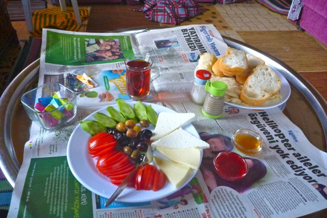
That was a 22-km day and at 75TL the rudimentary Gok pension was rather pricey, even if I got my money’s worth in food. The dishes kept coming that evening and next morning at breakfast too. But I was beginning to wonder if these Turkish brekkies (left): an egg, cucumber, tomato, bread and cheese – had enough calories for a day’s Lycian tramping with just soup and bread for lunch. A lot of the time I was worn out, though that could have been down to the terrain and not enough drinking too.
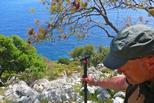
The sun had put its hat on next day. The route followed a trickling stream into a cool pine forest before rounding the north side of a mountain and turning back for the coast, with no villages on the way. The road became a jeep track blocked by landslides and ended in a clearing. According to a yellow signboard, I was 8 clicks from Gok with 16 to Çukurbag, but those signs were always overestimated. The book reckoned a total of 18, though it never spelt out distance clearly, preferring to give bafflingly overlong durations instead. Tip: on a walk distance is fixed, time is not. Anyway, however far it was, it was back onto rubble paths, winding uphill through shin-scratching scrub while leaning on the trusty packstaff. A couple of times the waymarks gave out and I staggered about to the four points of the compass trying to relocate the trail. The second time I got so fed up I dumped the pack and stomped back to check there was indeed a gap in the continuity, then bridged it with a bombproof line of cairns.
Lunchtime brought me out to a clearing at the broad pass. It was a relief to get away from the thorny scrub and rubble to which I was becoming a little phobic. My shins were scratched to buggery and over three weeks later the scabs are still healing. Cotton gaiters with shorts might not have been a bad combo for coolness and protection plus knee-drag-free agility.
Down in the valley the wind carried the shepherds’ cries across the hills. I was low on water as usual but near some sodden earth stopped and listened for the drip-drip of a nearby spring. I was becoming a regular Bear Grease. I tracked it down under a rock and pushed my cup through to enable a good feed with a hunk of bread I’d pinched from Gok’ pension.
That should have set me up for the afternoon, but as I’ve learned in the desert, it’s never over till it over. The day continued with another trawl between scant waymarks, logging operations obliterating the path and missing an important but discreet turn-off. Here I built another more conspicuous cairn chain and thought ‘That will do it!’ but on my way a few steps later saw someone had already done something near-identical. Problem is, looking for a pile of chalky white rocks perched on chalky white rubble requires x-ray specs. Next time I’ll come with a red spray can, as others have clearly done.
Compared to the early days, springs and cisterns were getting scant now and after the long trudge up to Phellos ridge I was hoping for a coffee break. But the only water here was a festering algeanous broth stewing inside the upturned lid or a tomb carved 2222 years ago (left).
Even then, deserted Phellos was a magical place, dramatically perched atop an 800-metre ridge looking north to the snowy Taurus mountains and south to the island-specked deniz, or sea. It seemed an unlikely place to build a settlement and as the guidebook suggested, was probably a lookout post or a religious site. That explained the many tombs.
I know limestone is relatively soft and all, but you do wonder how many weeks or months it took to quarry, carve, engrave and then position a free-standing Lycian tomb. A cubic metre of the rock weighs over two tons so you can work out what the tomb on the left would have weighed. Even if by the Lycian era stone carving was an established craft, it’s still quite staggering.
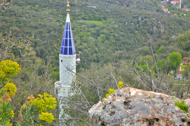
I was also staggering but in a wobbly legged kind of way. With a steep descent down to the village, I picked my way carefully, eventually passing the incongruous tip of Çukurbag mosque’s minaret (left), poking up like Thunderbird 5 ready for lift off. Once I reached it and with 18km under my hipbelt, I filled up my tank at the village spring then walked straight into the nearby Dere pension that looked like something out of a fairy tale. Sixty lira half-board and no questions asked; it was one of my favourites on the Way.
Today was a short walk – only 8 clicks down to Kaş resort where I planned a day off for maybe a bit of boating along the inviting shoreline. As a path neared the cliff a waypoint put me back on track until I reached an improbable 1000-foot drop which tumbled away towards Kaş’ terracotta roofs. It was another descent I really didn’t want to slip on but that actually turned out fine. After all, this has been a trade route for over two millennia, though I wouldn’t have wanted to be the postman taking the run from Antiphellos (modern-day Kaş) up to Phellos around Christmas time. Kaş felt a bit quainter to what little I saw of Kalkan – a tourist town rather than a colony of ex-pat villas. As the LP advised, Kaş is pronounced ‘cash’ so spend wisely: the same items in the Carrefour near the pension cost double in the cute café lined town square by the harbour.
Wandering around down here I picked up the 2014 edition of the Lycian Way and set about a forensic comparison with my 2009. My conclusion: while the design was a little less awful, I’d not be much better off with the text, while the redrawn map had thrown a few babies out with the bathwater. Seventy lira down and more weight to carry; I didn’t bother referring to it again. Kaş shore seemed a little exposed to the westerlies so instead of going on a rather pointless there-and-back paddle I got stuck into my holiday read, some interneting and gorging.
Next day I should have aired up and paddled the three kilometres from the harbour over to Limazi but I was feeling paradoxically lethargic, as you can do after a day spent eating but not moving. Plus the day was getting on and was set to be a warm one – up to 24°C. So when no one was looking I impulsively blew 50 lira on a solo boat ride to Limazi (left, normally 10L). It certainly was agreeable to glide across the bay at four knots with the thud of a marine diesel at my back and the slap of the swell against the bow.
Later on I was glad I’d done this as the walk to Bogaçik turned into a tough old day, much of it on gnarly sloping rubble, rock and scrub and, as the book warned, with meagre water resources. The coastal route was listed as ‘16km’ in the old edition but less than 10k in the current one – another typo I assumed. One panel on the newer map even has north pointing the wrong way! As someone on a forum observed, what this book needs is the attention of a proper guidebook publisher, but if that hasn’t happened yet it’s not likely to as in the face of apps and GPS, the era of paper guidebooks is in decline.
A full day of this walking can take it out of you and even with now doubled water reserves, a cistern out of Limazi and extra water at Fakdere Mevki Bay over lunch, 4 or 5km on at the bay opposite Kormen island (car accessible but a great camp spot) I was all out. I calculated my chances of doing the last two hours on spit, but decided that was a bad idea so set of to walk up the track to a house until I spotted a couple of taps by some newly built toilets. That will do nicely. I knocked back a pint, filled up two more with Zero tabs – my lifeline – and set off for what looked like two kms to a GPS waypoint where the track turned inland and uphill for Bogaçik.
Halfway up that hill a shepherds’ camp blocked the path – or should I say a shepherd’s snarling guard dog forced me to make a wide detour back into the shrubbery. I learned later that these kangal dogs (left) are amongst the most powerful in the world, bred up in Roman times from something called a ‘molussus’ to guard against wolves and bears. I really didn’t want to take a chance provoking these black-mouthed monsters; they’d have made short work of my packstaff and probably spat any hurled rocks right back in my face. Stick ‘kangal’ into youtube and you can enjoy a variety of forthright viewers’ commentary along the lines of ‘my kangal would fuck your pitbull up the ass’.
With help from the GPS I re-found the track further up, just as it left a perfectly negotiable jeep track to stumble through an ill-marked, ankle-twisting rock garden to eventually rejoin the track and the road to the Bogaçik pension by the mosque (left). It could have been me but there was a bit of an odd vibe here. No chai was offered – instead I was led into a spare room, told to close the curtains and take a shower then summoned upstairs for dinner. Today was 16km plus 3 on the boat.
It was warm again next day but my overnight laundry was drenched with dew. Still, I wasn’t too bothered as this day would surely end with a long-for paddle! I set off with Tyrone, a Canadian guy who’d run out of daylight trying to get to the pension last night so camped among the kangals and came in for breakfast. A lot of chattering saw us lose the way until we turned back and followed the Germans. They all had the yellow pocket guide and never put a foot wrong.
Down by a lagoon near the scattered tombs of Aperlae (left), the Purple House pension was a groovy, chilled-out spot for a lunch break (below left). It was spoiled only by the owner claiming his gushing spring water was undrinkable, that it was three hours to the next water but hey, he had 1.5 litre-bottled for 5L a shot. Only the last bit was probably true but this has been the wayfarer’s burden ever since weary Silk Road traders stumbled upon a remote caravanserai – or indeed service areas sprung up alongside motorways.
There was water 20 minutes away at the next lagoon. I could have put in here but it would have meant rolling up for a one-km portage to the final lagoon into Uçagiz. So I stuck it out on the trail with Tyrone and some Belgian women I’d been running into over the last few days. We talked about the fearsome dogs we’d encountered: she’d been bitten by a town dog (as was I in Myra next day) and had taken a day out for a rabies shot, even though it’s not been known here for decades. Tyrone too had had a close call with a snarling kangal. The Myra dog that went for me came out of nowhere as I rounded a corner. Maybe these dumb mutts can sense that I don’t feel the same way about dogs as I do about tomatoes.
The Belges didn’t need a packraft to set a cracking pace on the LW, camping all the way. Part of me envied them that freedom and adventure. I was equipped and had planned to do the same some of the time, but for fifteen quid half-board, I really enjoyed the cushy pensioner’s life: rinse my salt-caked clothes while having a shower, get fed then get some reading in before flaking out. Perhaps two-up the camp chores are more manageable but come the evening I know I can’t carry enough food to stave my appetite.
The time had come to deploy my underused secret weapon and despite a messy put-in across tidal mud (left), it was of course divine to be afloat again, paddle in hand. I wasn’t racing but it was nippy too. Even with their head start I covered the couple of clicks to Uçagiz harbour ahead of the others. As I arrived a young German girl from last night’s pension was bathing her sore feet off the quay. ‘That’s a good idea’ said her partner, eyeing up my boat. That will be 16 clicks please, plus 3 for the boat. Sorry, I got no change.
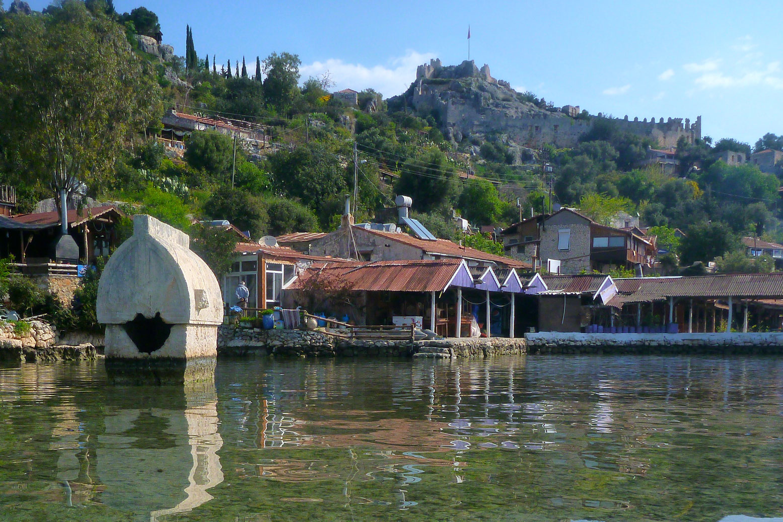
I looked out across the mouth of the lagoon next morning and decided I could surely paddle out to unseen Simena / Kaleköy and pick up the LW from near there. Now this was a much better way to start the day! I was so excited I forgot to pay my respects to the nearby ruins of Teimiussa, Out in the lagoon small islands showed evidence of other ancient buildings and bobbing into the harbour of Kaleköy, I passed the well-known sunken tomb.
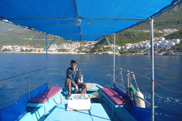
Off the island opposite is the famous sunken city of Kekova, the consequence of an earthquake dropping the whole coast a few feet. But a guy in Kaş advised me that Kekova wasn’t quite the underwater Atlantis it was made out to be. Scuttling round to Kaleköy harbour past million-dollar boats with black-out windows, I clambered onto a rude concrete pier, aired down the Yak then helped some locals heave a refurbished skiff back into the water (left) before heading up to the hilltop castle.
This could be my last day on the trail as the next stage was a 32-km walk inland up to 1800m and back down to Finike. Most did it with two-nights wild camping, but I only had one day to spare before needing to head back to Dalaman airport and from a transport point of view it made sense to wind it up in Demre.
The trail that day provided pleasant interludes through wildflower pastures but by the afternoon reverted to the gnarly, toe-snagging coastal terrain. Another shepherd’s camp and more rabid kangals with barks that made your hair stand on end. Out of water, I had to hang half into a well to just reach the water with my bottle strapped to my packstaff hanging from my fingertips (left). Like the book suggested, organise a handy cup or bucket on a string. Just ahead was a stray cove of white stones backed by an olive grove and an empty shack. With the handy water nearby, I contemplated an early cut and a camp. I eased over the barbed wire and rested a bit in the grass while mozzies whined at me, but thunder was rumbling up in the hills and without a tent I was equipped for neither rain nor tormenting insects.
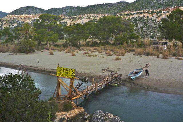
So I got back on the trail and followed the coast eastwards, at one point tripping and pressing my week-old knee wound into the rock. Well, I suppose the surge of adrenaline gave me the handy boost I needed. Presently I dropped down to a rickety bridge over a beachside stream (left) and a hermit in a nearby shack invited me in for a coffee just as the storm let go. Great timing and he was a nice guy, a crustacean diver still in the game but estranged from his family after doing 21 months inside. I didn’t ask what for – abalone poaching? – but his coffee and good company hit the mark as the rain hammered against his plastic-sheeted cabin. Once the shower passed I moved on across the beach to the old harbour of Kale, now a marina and boat yard for tourist boats doing the famous Blue Cruises.
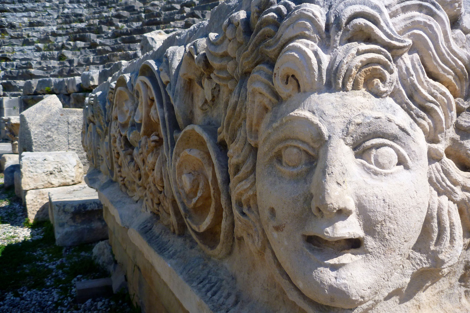
The guy advised there was a pension near the Myra ruins in Demre town, about seven clicks road walking making about 21 with 2 in the boat. I spent two nights here, taking a morning to explore magnificent Myra’s carvings, theatre and cliff-bound rock tombs. It was one of the most impressive sites so far, even if the approach was a minefield of Myra-themed souvenirs and overpriced snacks. Round the corner at a roadside fruit-picker’s snack shack, drinks were a fraction of the price and the welcome far more genuine. There were more rock tombs round the hillside: the so-called River Necropolis set behind some orange groves. Few come here as it’s a bit of scramble to reach them, but I did and so signed off my Lycian trek.
•
Knowing what I know now, with better preparation I could have done a bit more sea paddling. As it was I failed to get into the rhythm of this walk in my 12 days on the trail; probably a combination of equipment, terrain and mindset. But I did lose 3 kilos! The windy Patara beach day was just bad luck, but without proper maps or forecasts, scuttling solo between remote coves and around headlands felt too risky. With company it would have been another matter and paddling some sections – like into Kalkan, out of Kas and Sidema to Andriake/Kale certainly would have been a whole lot more fun than walking on a calm day. Had I appreciated that the book’s map and my GPS’s OSM display were inadequate I’d have lugged my MacAir to view the OSMs full detail on Base Camp, or printed sections along with Google sat images in advance, but that’s how it is first time in a new place: coulda; shoulda; woulda… But the fact is, unlike a kayak (even an IK) or with no boat at all, the great thing with a packraft is that it gives you the option to walk when you must or want – and to paddle when you can or dare.
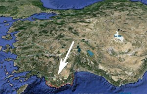
The Lycian Way is a 450-km path in southwest Turkey between the towns of Fethiye and Antalya in the east. Established in 1999, it links a network of paths and tracks along the coast and through the adjacent mountains, passing sites of ancient Lycia.
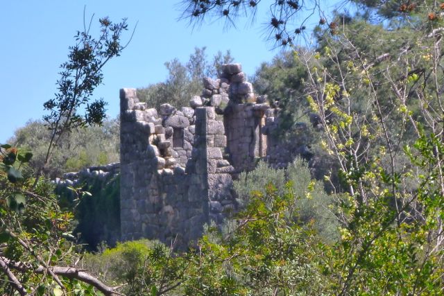
Along with encountering rural Turkish culture, the agreeable Mediterranean backdrop and the springtime wildflowers, it’s these fascinating ruins that set the Lycian Way apart from most other long-distance walks. Turkey has no shortage of impressive historical sites of course, but on the Teke peninsula where Lycia flourshed from 500BC there’s a particular concentration of such monuments. Some, like the huge complex of Myra (above left) are fully-fledged tourists sites with entrance fees. Others, like tiny mysterious Sidyma (right) or Phellos poke out from the scrub high on a ridge and are all the more atmospheric for being virtually unvisited.
At times you’ll find yourself literally walking over the jumbled rubble of some long collapsed temple (left), along a clay-lined Roman aqueduct or up a steep cliff path that’s been a trade route for millennia. These’s nothing that significant about the obscure Lycians – a mini-state that in turn fell under the influence of the Greeks, Persians and Romans over the centuries before fading away as more recent empires made their mark. But one of their legacies are their distinctive rock-carved tombs which dot the landscape, alone or in clusters, along the entire walk and survive in the most unexpected places (right).
Looking at the intricate topography of the coast I figured it might be worth carrying the 3.5-kilo penalty of my packraft and paddle blades, even though I knew I’d walk at least 90% of the time. I didn’t expect to finish the entire walk in two weeks either, but was sure my feet, legs and shoulders would enjoy the odd respite on the water.
Note that the information that follows is only based on me doing the first half of the walk.
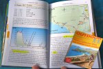
Guidebooks and Maps A local ex-pat Kate Clow conceived the original walk in the 90s and wrote a guidebook, now in its 4th (2014) edition. I used the 3rd (2009) edition bought years ago and anticipating dealing with out-dated info. The guidebook includes a tear-out colour map that unfolds to show four panels covering the route. They produce an iPhone app too with an all-important tracklog, and you can get a few hundred free waypoints if you can prove you bought the book.
Out of curiosity and with some hope, I picked up the 4th edition a few days into the walk. As a historical guide to the ruins and their context it’s very good, but as a practical walking guide and despite four editions and some 15 years in print, frustration with the Lycian Way book was a common complaint among walkers. There’s a German guidebook (above right; I heard no complaints from users) and I was told of the Trekright app which you can read about here or buy here. I don’t use iPhones but one walker who used both apps said the Trekright app was ‘…the best $5 I ever spent’. There’s a very good summary of the walk from 2011 (the whole thing in 17 days!) on BPL. And this is another website of a couple who walked the walk and give lots of good info.
TOther than that you can download OSM mapping and try to install it into your device or GPS. I did that but all I could see on my Garmin 60CSX was a not so useful mass of contours behind the imported waypoints – no path or other detail which showed up on Garmin Base Camp on my Macbook (screengrab, left). Maybe my Garmin can’t handle all the detail or I did something wrong. I also tried to load a 2011’ tracklog into my GPS (see link below). That may have worked but I deleted it by mistake. A tracklog (‘breadcrumb trail’ or a continuous line displayed – no points to aim for) would almost make it too easy. But while 90% of the time the red and white waymarks (below left) are all you need, there are times when you’re lost and either hot/cold, tired/aching, fed up or perched on an exposed and loose slope where you just want to get back on track.
Routefinding The route gets modified from time to time as new roads get built or areas get logged, but despite a warning I was given, old waymarks remain so there must now be a few variations. The route often seeks out parallel side paths to a road or car track, even if these roads see just a few vehicles an hour. At times it’s an agreeable diversion, elsewhere it becomes a pointless and frustrating blunder up some river bed that you hope will work itself out. While I’d prefer to wind along grassy, flower-lined paths bedecked with fluttering butterflies, I don’t mind tramping along a jeep track or quiet road once in a while. If nothing else it gives you a break from concentrating relentlessly on where to place each step.
The lazy depiction of the official guide’s edition 3 trail map (left) made it hit and miss as a route-finding aid. Accuracy and orientation is improved on the 4th edition map (below left) but along with some clutter this map drops a lot of detail showing springs, wells and other water sources along the trail so overall it’s actually worse. Without the GPS waypoints in places I’d have struggled to follow or re-find the track.
In terms of route finding, this was my order of usefulness:
Red and white waymarkers, where present
Cairns – often built when waymarks missing
Waypoints in the GPS
Guidebook map (edn 3)
Winging it cross-country in a likely direction
Yellow signposts (infrequent, irregular and with inaccurate distances)
Ask other people (where present)
Guidebook (it was often impossible to interpret what you’d just walked)
We all agreed that, as with many guidebooks or poorly marked walks, after a few days of occasional blundering you develop a sense of the path’s logic even when the map is vague and the book is baffling. This lack of faith in the book, the map, the waymarking as well as the unnecessarily tiresome or boring route choices can encourage you to take short cuts or even bus rides or trailblaze your own Lycian Way. I doubt any two walkers follow exactly the same route but eventually we all got to where we were going – just not without occasional frustration.
Terrain Just about the whole walk is on limestone and much of the path is on narrow limestone-rubble mule tracks hemmed in by thorny Mediterranean scrub with occasional clambering over bedrock. And when I say hemmed in I mean at times a few inches apart meaning you or your clothing will get scratched and poked and snagged. As maintaining the vegetation let alone anything else on a 500-km path is a major task, you just have to get used to it.
The Lycian Way is not a walk in the park and is most taxing when negotiating an incline on a steep coastal side slope while tramping on loose rubble or sharply weather bedrock as thorny bushes torment you from head to toe and the drop to the sea focuses the mind. I was very glad of my packstaff (below right) and the boots I chose for this walk with thick shoes that were immune to what lay underfoot. Other walkers I met were suffering or even taking days out to seek out more rugged footwear. Elsewhere the route follows jeep tracks or dirt roads (right), quiet backroads and very occasionally and briefly, main roads. And sometimes there’s no discernible path at all (right) but in these places the waymarking is usually very good or you’re lost.
Paddling In a kayak it would be different, but at sea passing sometimes remote rocky shores and exposed headlands alone in a packraft was a bit intimidating. Mediterranean tides are minimal, currents – who knows – but the prevailing westerlies and afternoon sea breeze limited my choices to either sheltered lagoons or being able to easily get ashore onto a beach if the wind got up. With hindsight I now see where I could have paddled more had I been braver or had access to a reliable inshore forecast.
Accommodation Pensions offering half board (if there’s no resto option nearby) have cropped up in all the villages along the route in response to the Lycia Way’s popularity. Apart from the first night near the airport I never booked, never knew exactly where I might stay (often just one place in a village) but never had trouble getting a bed nor had to share a room. And there were many more walkers on the Lycian Way than I expected – some doing two-week’s worth like me, others doing sections between bus rides and a few going all the way and beyond. Pension prices ranged from 50L half board in a tiny room in Bel, up to 99TL in an inadvertently nice place in Uçagiz.
Besides a shower and a comfy bed, for me one of the big attractions of pensioning as opposed to wild camping (left – easy, providing you had water) was the fresh food. If it’s there I’m happy to use it and pay for it and as I only carried a sleeping bag, mat and a stove, the weight penalty wasn’t too drastic. At a couple of points alone the official route (just after I finished in Demre) there’s no accommodation up the mountain and you have to wild camp for at least one night. Along with help with lodgings in bigger towns and guidelines on transport, I downloaded and printed the Lonely Planet Antalya chapter. Well worth £3 and some ink.
Getting there and local transport I flew with EasyJet from Gatwick to Dalaman where, if I’d been smarter I could have hopped onto a bus direct to Fethiye which is a resort. But my plane arrived late, I had a local hotel booked and I’m not sure the Fethiye buses were still running. From Fethiye a 20-minute dolmus ride up to the pass before Olu Deniz cost 50p. At the end of the walk, from Demre I covered the 200-odd kms back Dalaman with changes in Kas and Fethiye over four hours and for about 25L. It was all very easy as most people outside of the villages spoke English. Locally, where there’s nothing, hitching is a viable alternative. Dolmus are local minibuses covering short village-to-town routes and modern air-con coaches cover longer routes at about 20p or less a kilometre.
Food and Water As mentioned, early on there were plenty of gushing springs by the track possibly fed by the still snowy mountains not far inland. After Kalkan springs got fewer and wells and cisterns became spaced out (as did I for lack of water). I didn’t filter my water – most of it is as natural as it comes. At lower elevations in the intensively agricultural areas I may have thought twice or used a tap. The big towns every few days have all the shops you need (with saliva-inducing Carrefours in most places) but village shops were disappointing, selling mostly long life stuff like cakes, biscuits and crisps plus maybe bread and cheese and spam-like sausage. What they lack is fresh fruit and veg. In rural Turkey most people grow their own.
Costs I averaged about 100TL a day over 18 days, pension-ing all but one night. That’s about £27, mostly on the half-board pensions. ATMs are surprisingly plentiful from the moment you land to the bigger towns. It’s possible to pay in Euros at some pensions.
As the seasons change and the days shrink, the weather seems to flip from one extreme to the other. A few nights ago it was howling from the east at over 60mph and began to sound a little scary in our exposed cottage. We’ve had 60 a few weeks ago but from the prevailing southwest. I have a theory that a less usual easterly gale is noisier because it blows against the wind-bent vegetation. I got up at 5am to check things out and found the bike blown over, even though it was hard against a wall. The kayak – that was gone, but being red I knew it would be easy enough to find in the daylight. Turns out it was nestling in a ditch not far away.
I’ve pondered on similar sound theories about high water on a spring tide. Assuming it’s not all drowned by the wind and waves, there’s a certain rushing and gurgling sound I’m not sure I’ve heard at other times. Again, I could only explain it by weathering: the higher and so less smoothed down parts of the rocky seashore are responding noisily to their fortnightly lapping. Sadly, a recent communiqué from Stockholm informs me that neither theory will be shortlisted for a Nobel Prize.
There’s also been talk of a blood moon lately. Not a theory but an astronomically accredited rosy-orange glow brought on by the fuzzy edge of the earth’s shadow. Though the recent one wasn’t visible in the UK as it was earlier this year, with the current calm conditions I figured a moonlight paddle would make a novel experience. On the beach about 8pm, the moon was just rising over Suilven to the northeast. An hour before high water, geometrically, the idea of the moon ‘pulling’ the water in towards it made perfect sense. And blow me down if it didn’t have an orangey hue (not caught by my camera), though I realise that’s just because it was rising.
Out on the water in the dark I thought it might be unnerving – part of this idea was a bit of a dare. But if anything it was all rather magical. For once the boat remained perfect still as I tried to take some pictures and just as the thought – ‘I wonder if there’s any phosphorescence [sic]’ – passed through my head, the bow and paddle blades revealed a light twinkling in their wake that definitely wasn’t reflected moonlight. Taking a picture was impossible, though later I did notice it didn’t require agitating the water to see luminescent entities darting about. In fact the correct word is bioluminescence. Is it an ordinary phenomenon up here? Do tides, moon, season and temperatures have any influence? Who knows.
The low moon reflecting on Badentarbet Bay reminded me of a bogus tourist event they have in Broome, northwestern Australia. A low tides the moon rising over the mudflats of Roebuck Bay creates a very similar stepped effect, all the excuse they need to add it to their packed events calendar and run a New Age-y beach market. It’s bogus because it not unique to Broome or anywhere, and in my guidebook writing days out there, my bullshit antennae had to remain tuned to a high pitch. Broome is a lovely spot and has many genuinely unique attractions, but you’ll see the same lunar effect 600km down the road in Port Hedland. And anyone who knows the difference between PH and Broome will understand why PH don’t crow about their staircase too much. As the tide topped out I was really rather cozy, wrapped up in my Anfibio drysuit and Gul fleece onesie – floating but not drifting between the moon and the stars and whatever was glittering below. This might be one of my last paddles in the Grabner and a new boat is on its way. I hope get a chance to take it for a spin before we migrate back south