Category Archives: Travel Reports

Travelling with packboats

Kayaking through London (Incept K40)

See also:
Incept K40 Index Page
All Quiet on the Waterfront (Thames, 10 years later)

London made worldwide headlines this week for rioting, arson and looting. Along with scores of others, our own high street got done Monday night, and next afternoon all the shops were closed, braced for a re-run that instead moved to other English cities. The map on the right only shows the bigger events in London up to Tuesday; many more passed unreported.

But Wednesday the tides were favourable and the weather were fair for a 17-mile cruise down the River Thames from Richmond to Tower Bridge. We’d planned the run before all this aggro kicked off as I’d not paddled through London for years and fancied doing it in the Incept. In fact we ended up paddling all the way to Greenwich, about 21 fast and briefly hairy miles.
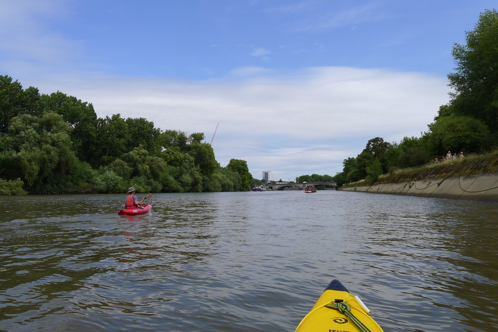
Richmond is a prosperous suburb stuck under the Heathrow airport flight path; no rampaging here, thank you very much. Steve and I set off just below the town bridge at 1pm, right at the turn of the tide, even though 20 minutes earlier the water was still clearly charging upstream. In fact I read that in the upper tidal reaches, the Thames floods quickly and ebbs slowly.
Again, the K-Pump was used to inflate the Solar which Steve was using as his Feathercraft was in detention. I’ve found the K is much more effective at getting a firm fill than the squidgy Bravo footpump.
Maybe it’s a river and gravity thing, but when the tide ebbs with the mild Thames current, it’s on the move almost straight away. With the help of a strong southwesterly that day, very soon we were cruising along at an easy 5 or 6 mph, and that speed barely relented until the very end when we took out just before low tide at Greenwich.
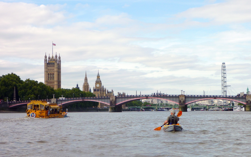
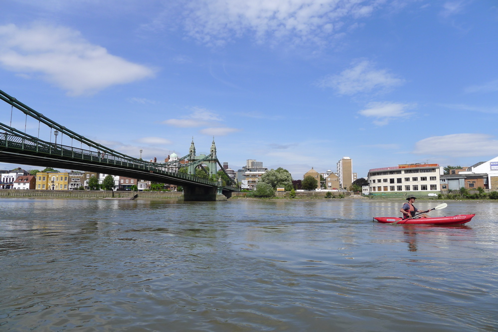
The 15-mile run-up to Westminster initially feels quite rural in places. Riverside willows swung their tresses in the 15mph breeze as we passed the handsome riverside dwellings of affluent west London with barely a high-rise in sight.
By Putney, home of the famous Oxford-Cambridge boat race, we were halfway to Tower Bridge and the greenery give way to urban development and the odd industrial site. Around here you get a few people rowing those slim Oxbridge rowboats
, and it occurred to me later that for some reason they’re excused from wearing life jackets. A boy drowned near here in one of these rowboats, a week or two ago.
Near Battersea heliport the wobbling wind sock stuck out sideways like a road sign, pointing downriver towards banks of million-pound apartments built in the last boom-but-one to accommodate London’s growing class of needy oligarchs.
There were more barges and pontoons moored mid-river now. All easily avoided of course and just as well as the way the current was ripping along, their flat prows made a nasty hazard; like an an upside-down weir, that might easily pull a kayak down and drag it along under the entire length of the barge.
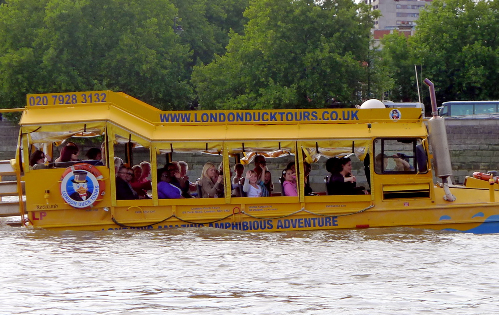
At Vauxhall Bridge, by the snazzy MI5 secret service HQ, we saw one of the London Duck amphibious tourist barge-buses drive down the bank. It submerged itself into the river and chugged past (left), managing to look as ungainly on the water as it does on land. The Ducks do a token 10-minute sweep of the river past Parliament, but having gone on one years ago, I can tell you it’s a hot, noisy ride. I reckon they are more fun to watch than to be in.

hps

We grabbed a few shots as we passed the Houses of Parliament (that how HP Sauce gets its name), and I thought it was going to be a smooth, quiet passage through the busy two-mile section of the river from Westminster to Tower Bridge, as it had been last time.

But as soon as we passed under Westminster Bridge alongside Big Ben, the character of the river changed and waves were standing up to 5 feet high. The flow gets constricted and backs up by the pier supporting the London Eye which, along with the masses of tourist boats, effectively halves the width of the river, while the current and tide pushed through, exacerbated by the wind. I’d heard of these waves below London Bridge but had never seen them this big. We’d come down so fast from Richmond that we’d hit the busiest section of the Thames, packed with manoeuvring tour boats and jetties, at the peak of the tidal flow. Suddenly the river was rather lively.

Rush hour on the river
As always the best kayaking shots are the one you’ll never see: of Steve in the 10-foot long Solar teetering over wave crests and my long bow rising and then slapping down into the troughs. What pics I grabbed were pretty mild. Holy moly, you don’t see all this looking down from Waterloo Bridge with a flat white and a Telegraph in hand, but it may only last a short time or be limited to certain conditions. It’s worrying too, how you’re quickly transfixed with dealing with your own predicament; if one of us had tipped in here, the other would have had real trouble turning back in the current and traffic. But we got through (I’ve probably exaggerated it all) and even got used to the more manageable standing waves, if not always the cross swell flung out by the wake of passing tour barges. These wide, twin-hull Thames Clippers can really shift, accelerating up to 15-20 knots, although it’s actually the older, mono-hull tour boats that punch out a wake you want to watch out for, and is probably why their speed is limited. As it is, I read there’s no speed limit on the tidal Thames below Wandsworth, merely common sense is required, plus a risk of a big fine from the PLA.
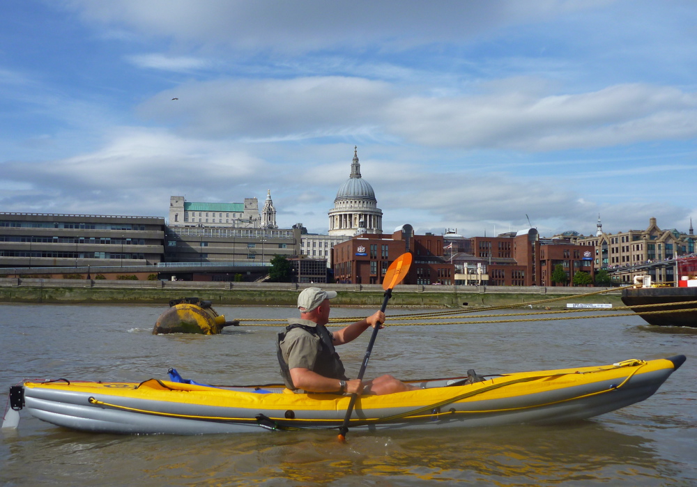
I was momentarily freaked out by all this, but although I didn’t dare glance back or try and take photos, Steve seemed to be keeping pretty cool in the tiny Solar. I’d not applied any of the mods I’d lavished on my old Sunny, and with its crap seat and soggy footrest offering little support, paddling the Solar in heavy conditions was a bit like balancing on a midstream log. This was all at times more intimidating than anything we’d done on the Class II Ardeche a couple of weeks ago, and I was thinking it really was high time I slipped on my Incept’s thigh braces. We stopped off for a breather at the South Bank and enjoyed a coffee and lemonade for only £5 each while tourists wrote messages in the sand of the now exposed river bed.
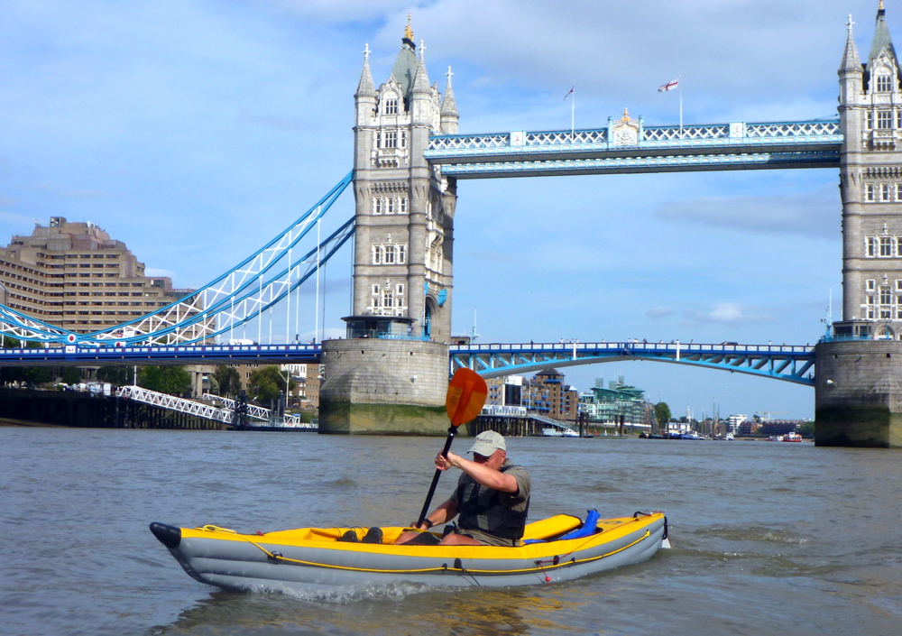
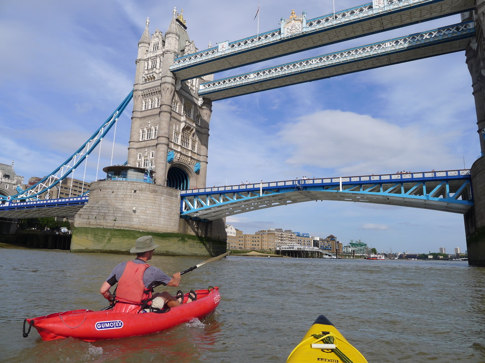
On to Blackfriars, Southwark and London Bridge, where mid-stream there were ranks of frothing, churning whitecaps. We didn’t want to go there, and kept to the right, looking for less speed and flatter water behind the HMS Belfast tourist warship and on to Tower Bridge where all was calm and it was no drama to pass under the middle, as more tourists above waved.

It may sound like a scene from a James Bond movie, but in 1952 a #78 double-decker bus successfully jumped a three-foot gap when one of the ‘bascules’ lifted unexpectedly. The postcard (left) dramatises the event. Having got to this point so fast, we decided we may as well carry on the hour or so to Greenwich, as we knew down here the river opened out, tourist boat traffic dropped off and there were no more bridges or other fluvial furniture to cause weird wave formations.

Out past Wapping and Rotherhithe, the Thames is lined with converted warehouses or new apartments, shielding the less glamorous council estates of the East End. Soon we’re passing Canary Wharf, once the Port of London, now a mini-Manhattan of office blocks built in the 1980s when the financial boom kicked off in London. Those guys weren’t having such a good week either – one trader on the TV news was filmed swatting his Perrier off his desk in frustration at that day’s collapse, but at least they weren’t running amok and setting fire to their ties.

The river meandered south putting us into the wind, but it was good to crank up some solid effort. Even here the odd Greenwich-bound tour boat still threw out their mini tsunamis which crashed with a roar along the banks behind us and were fun to negotiate up to the point where you thought, ‘ooo-er, hold on a minute, am I’m surfing here!?’ Otherwise, the broad river gets a bit dull along this section and soon enough the wooded hill of Greenwich Observatory and the prime meridian peeped out from behind a bend. Steve was a bit pooped for spinning the ill-fitting Solar along at Incept speeds. And having used my huge Werner Corry paddle, I too was suffering from some elbowitis. We came ashore by the Cutty Sark tea clipper, lifted the boats carefully over the broken glass and gravel, up over a fence, aired down and headed for the station.
We did this 21-mile run on a neapish tide of just 3.8m – they drop to 3.5m and rise to 5m this time of year at Richmond (it’s about a metre more at London Bridge). That took us only 4 hours actual paddling which must be the fastest 20 miles I’ve ever done in a paddle boat. Slowed down by locks, inland of Richmond the freshwater Thames can be a bit boring, but I wouldn’t fancy coming through Westminster at the height of an ebbing spring tide on a busy summer’s day with a backwind. At such times it’s probably not a place for total beginners in tippy hardshells, but as long as you’re ready to get stuck in, it is of course good fun and you can be sure of a big audience. Just make sure you clip on a Go Pro to catch the action!
The tidal Thames starts at Teddington Lock, about three miles upriver from Richmond. You need to time Richmond Lock just downstream of the Twickenham Bridge (A316) correctly, 10 minutes downstream from our put-in at Water Lane. I did not notice it as it’s flooded at HW when it’s just another bridge. It’s actually a barrage to hold water upriver around Richmond once the tide turns. There’s a roller pass for kayaks on the left, if you find it closed.

You don’t need any sort of permit or BCU membership to kayak the tidal Thames, as you technically do upstream of Teddington. As long as you’re wearing a pfd, keep right and stay out of the way, the police patrolling the river will probably ignore you.

A fun shorter packboating section would be the 8 miles from Putney to Tower Bridge, both with good transport links and passing all the classic London icons which people of my age will recognise from the idealised Thames TV logo (left) from the 1970s. Once the tide drops enough, exposing the sandy riverbed, taking out is easy enough with a packboat, even if it means climbing up a vertical ladder as we did last time (above). Elsewhere there are several steps or jetties.

Packrafting in France 2 ~ Ardeche Gorge

See also:
• Packboating in southern France
• Chassezac
• Allier guide
• Tarn
• Packboating in southern France

Includes pix by Steve L

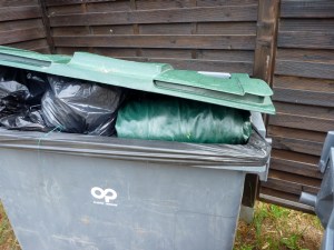
The story so far. We’d nursed Steve’s cheapo Intex Boat Hawk II for two days from Les Vans down the Chassezac river as far as Vallon on the Ardeche, about 38km. But following a brief reprieve, that slackraft was now a bundle of plastic stuffed into the campsite bin (left). Former Boathawker Steve was now astride a rental sit-on-top, like 98% of paddlers heading into the Ardeche Gorge.

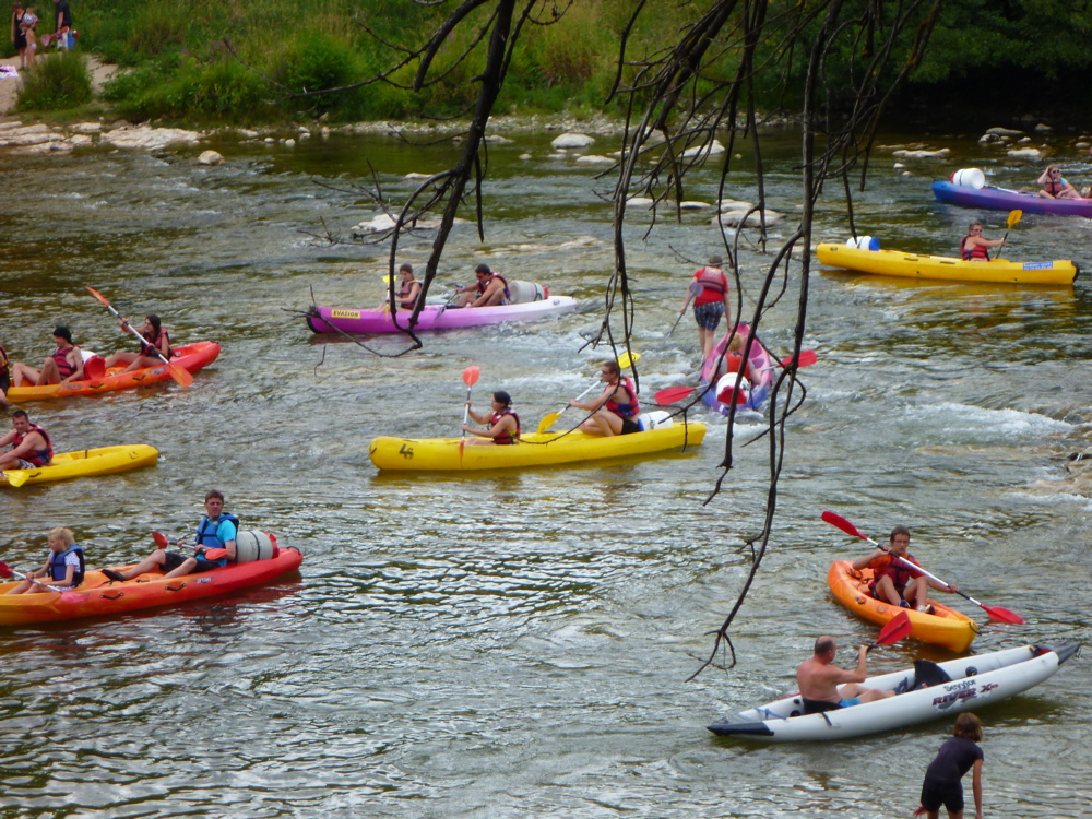
With the river already packed with day boaters, we joined the melee towards the moderately technical rapid of Charlemagne, near the Pont d’Arc (above).
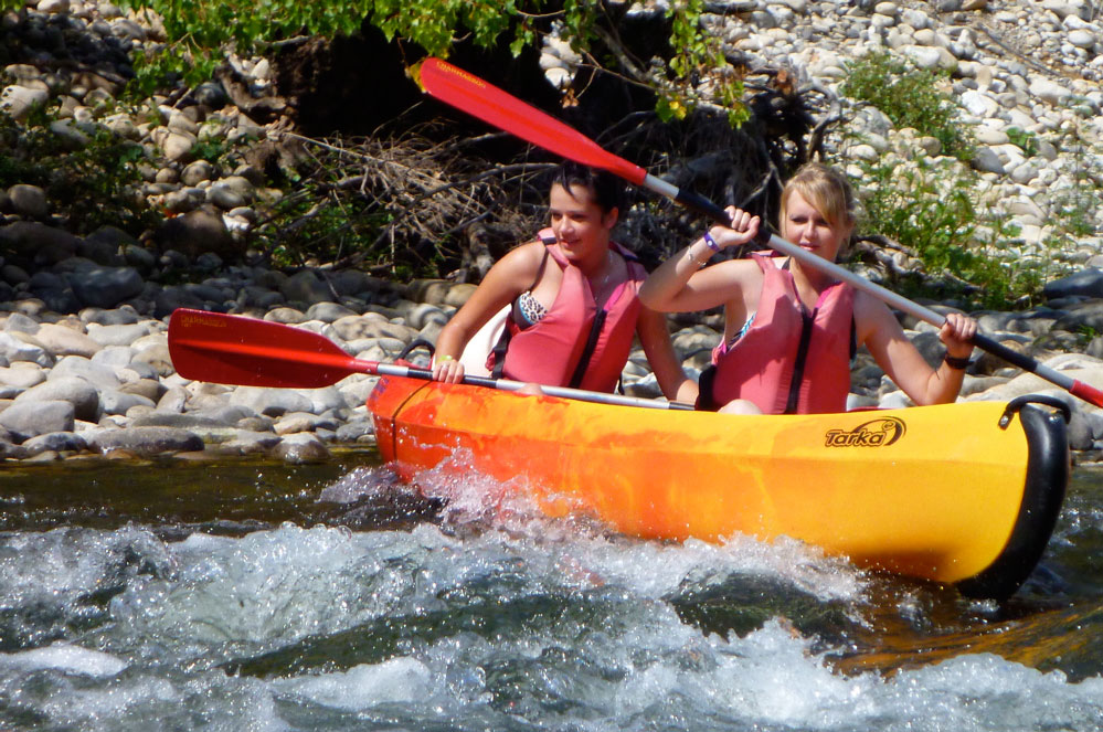
Recce’ing the Ardeche a year ago with the Mrs, we’d sat at Charlemagne rapid watching the boats come through, not all as expertly as the canoe on the left. But at that time (late May) the river had been at least a foot higher. Today, the surfing wave at the exit (above) was much flatter and the 200-metre dog leg channel to get there was pretty easy to follow. Traffic was much higher though and I had to queue up and take my turn to drop in.

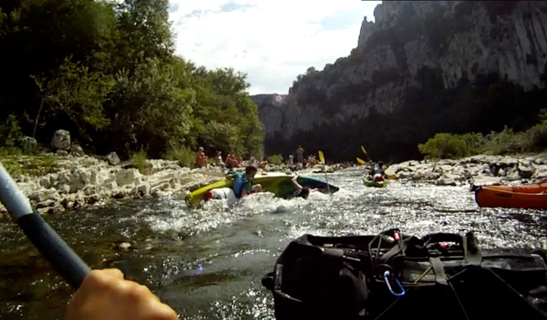
As I rode through, in front of me a couple of teenagers in a double rode up onto rocks and slowly flipped over (above), but in the packraft it was easy to steer out of their way and complete the run. First time SoT-er Steve also had no probs.

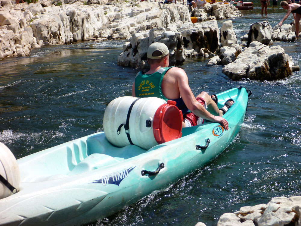
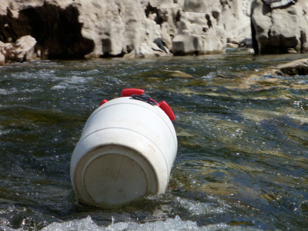
That done, we pulled over to watch the fun for a while. Most slipped through like us, but the double SoTs were far less agile. There’s no mystery why; put a teenage boy and his eight-year old sister – both new to kayaking –at each end of a 4-5 metre hunk of plastic SoT weighing 30 kilos and they’re bound to cock up any rapid that requires co-ordinating a sharp turn or a bit of elementary river reading. So it was that boats piled into boats (left) and a train of flotsam flowed out of Charlemagne towards the arch: vacant kayaks, loose drums and paddles, kayakers with no paddles, and the odd swimmer. Some very young kids were not seeing the funny side of it, but the crowds applauded their dad’s rock mounting antics and I don’t recall any single SoTs flipping. Remember that next time you do the Ardeche!

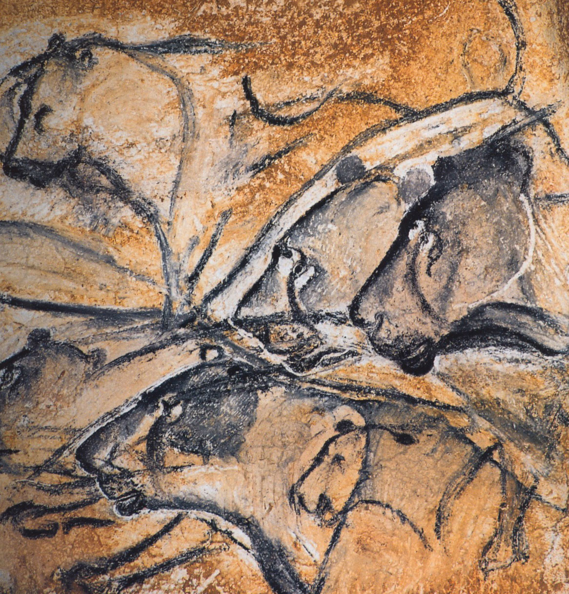
Just beyond we passed under the famous arch (left) close to where the Chauvet cave had been discovered in the mid-90s. Full of fabulous prehistoric rock art (right) dating back 30,000 years, it’s exact location is little known and it’s locked up for protection. The cave was the subject of a recent Werner Herzog film and, as has been done elsewhere in France, a replica ‘tourist cave’ is planned nearby.

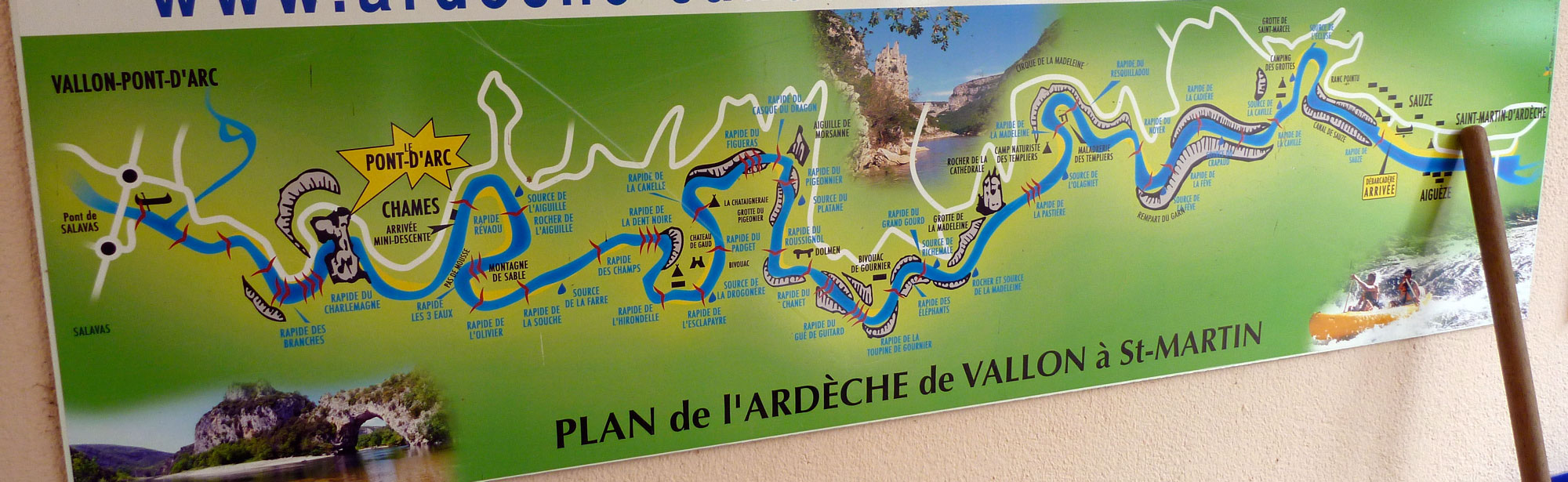
Up to this point was the regular half-day fun run on the Ardeche. The next 25kms entered a conservation reserve with only limited exits, and to rent his SoT for two days Steve had had to prove he’d booked a place at one of the two overnight camps or bivis in the gorge (see map below). Wild camping is forbidden, although we did spot a few doing so and I imagine you could get away with it if you don’t want to get bogged down in the need to book the bivi in advance. You’re also supposed to be off the river by 6pm. As soon as we left Pont d’Arc paddling traffic dropped off dramatically. 

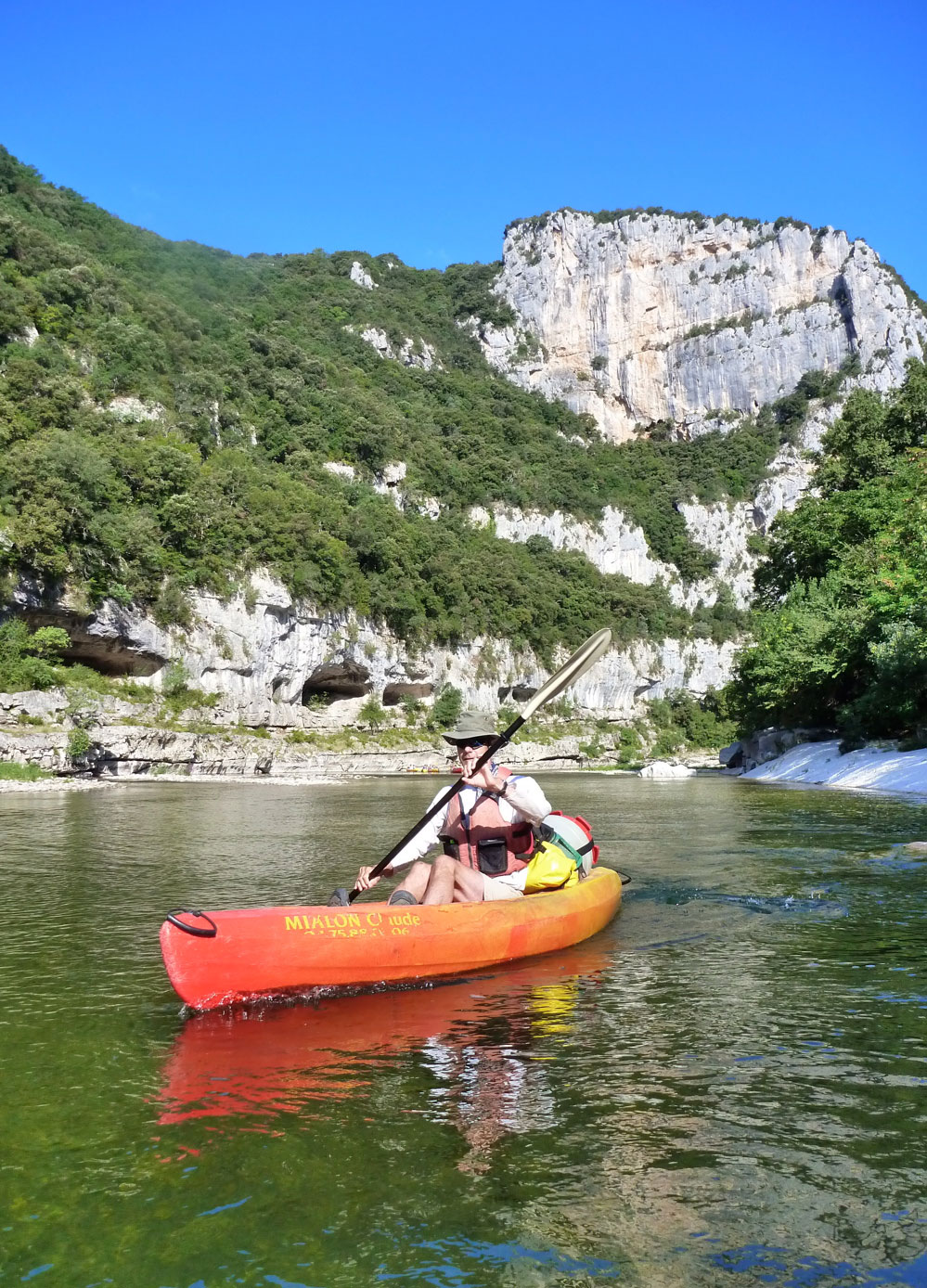
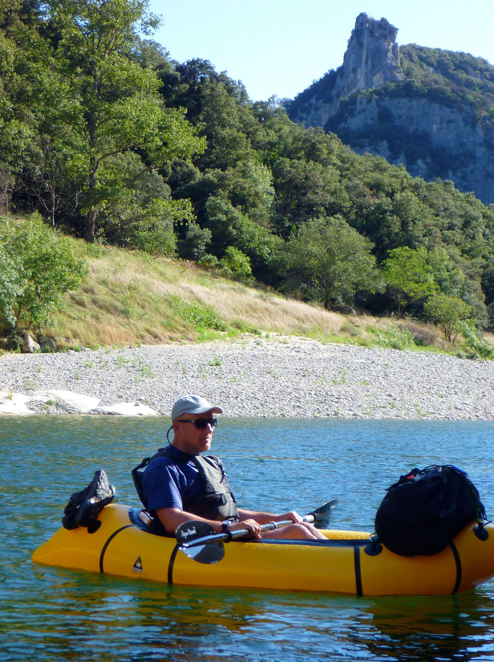
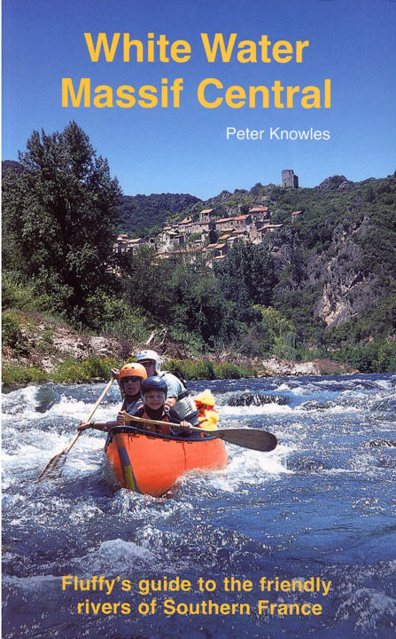
I’d been put off the Ardeche for years by the rather intimidating description in the Massif book, but Charlemagne had been a doddle and levels were low or perhaps just normal. That book had over-egged other rivers and rapids over the years, but it is aimed at Brit families in canoes (not a huge market it must be said, never seen any). While my old Gumotex Sunny would have swamped harmlessly here and there, and also been tricky to turn fast in some rapids, the Alpacka Yak has the effect of reducing the WW grades by a factor of one. You can turn the Yak with one swipe and you’re so low and stable, especially with the UDBag sat over the bow, it’s hard to think how it could ever flip. We wound our way along the meanders, passing the odd knot of kayakers as well as hikers following the gorge on foot, something which includes the odd bit of via ferrata.

The rapids ahead held little dread now and even the notorious Dent Noire mid-river rock (left) passed without incident. I managed to pass to the right, the correct way but which the current makes quite difficult. Steve took it on the left, grabbing a small bite from the Black Tooth on his elbow as he passed. A pair of river rescue firemen are stationed here each day, but with a ‘chicken run’ channel dug out of the shingle bypassing the rock altogether, they’d be having a pretty quiet time as long as the less controllable doubles took that line, as the signs advised.

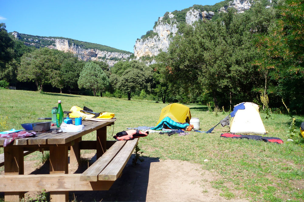
We arrived at the empty Gard bivi early and took our pick of the pitches. After days packed like sardines in holiday camps, it was a relief to spread out over a sloping field as on a normal farmer’s campsite. There’s nothing here but toilets, water, free charcoal for the BBQ pits and a 2km track up to the road, as well as warnings to keep food sealed against the wild boars. The field filled up towards evening but it was still far from the overcrowding for which the Ardeche is notorious. A weekend here may have been another matter.

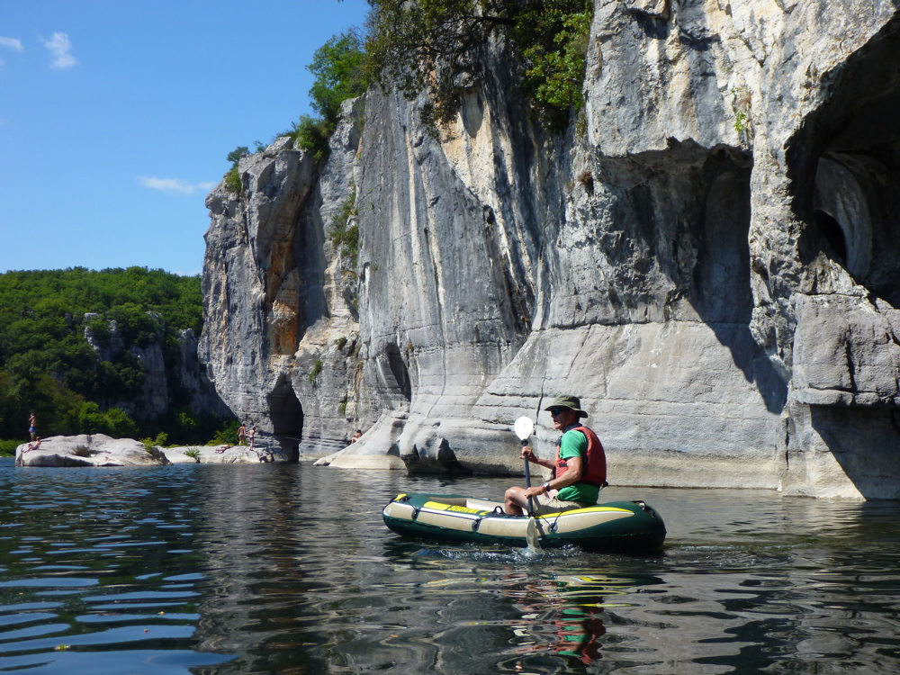
Friday was another wonderful day, hitting the frothiest lines we could find (left) and drifting with the breeze under the overhanging limestone walls. Only one rapid flipped Steve’s rigid SoT out of the blue, while the following Yak just hung up on the same rock, pivoted round and slid off.

At times stiff a breeze blew along the gorge, either in our face or our backs, depending on the orientation of the meander. As the walls subsided towards the take-out at Sauze near St Martin, that turned into a strong backwind which rushed us downriver. At one point after a break, I swam out with my boat and planned to get in it off the water just to remind myself it was easy, but the little tab I was holding onto broke and the boat was gone like a balloon in a gale. Just as well Steve was downriver to catch it.

At Sauze beach the rental outfits’ vans and trailers line up to retrieve their clients and SoTs. Me, I didn’t want to get off the river, but our original plan to paddle on for a day to Pont Saint Esprit was only possible with our own boats. Steve could have bought another cheapie from a toy shop but it would have meant rushing for tomorrow’s train from Avignon. So it was time to roll up the Yak on this mini adventure and head for out allocated patch in the Camping Municipal.

Our week in the Ardeche was all a bit of a holiday, not the sort of thing we normally do, but a fun run on which it was safe to take a chance with the cheap dinghy. There wasn’t a mark on the Yak but I was shocked how easily and quickly the Hawk had got mashed. Conclusion: you do indeed get what you pay for. With some duct tape we could have kept it going and for the £35 it cost, it was still worth it as a one-trip wonder, compared to the commitment of buying a proper packraft.
Combined with the brilliant Watershed bags, the Yak made light work of it all and makes me realise I’d be happy to do the Massif rivers I’ve done in the Sunny all over again with the Alpacka. It would also be fun to do the Ardeche again at higher levels and maybe start from Aubenas to make a meaty 100-km run down to St Esprit.

Getting to the Ardeche
We took an infrequent Eurostar non-stop service from London to Avignon – just 6 hours but £260 return each. An Easyjet to Lyon or Ryanair to Nimes may have been cheaper but not quicker and much less fun. From Avignon we backed up to Montelimar by train and from there took the connecting bus service on to Ruoms (one ticket about £15, 1.5 hours). At Ruoms, just north of Vallon, an empty minibus turned up bang on time and took us on to Les Vans for just €3 (30 mins). Simply getting a TGV train to Montelimar may be a better and cheaper way, but from the UK would probably require changing stations in Paris (40 mins walk) or maybe just platforms in Lille.
Coming back we got a lift from St Martin to Pont St Esprit (no buses; taxi €15 for 9km; 16km by river). And after wandering through the Saturday morning marche (above left), took the bus on to Avignon for just €2.50 (90 mins) for another 6-hour train ride back to London.

Tracking down Pont Saint Esprit timetables online unearthed a sinister history to the town: the Incident at Pont Saint Esprit. A recently published book (right) claimed that in the early 1950s, as part of what later became their MK Ultra mind control program, the CIA drugged the town with LSD with predictably terrifying results. Several people killed themselves in the hallucinogenic torment, many more were locked up in asylums. If it’s true then CIA stunts like that make an exploding cigar sound positively benign!

Packrafting in France • Chassezac

See also
Packboating in southern France
Slackraft Main Page
Bored already? Part 2 – Ardeche
Includes photos by Steve L

The Ardeche Gorge was the last big river I’d yet to do in the Massif Central and is one of France’s best known family-friendly kayaking adventures. Some days in high summer you can run from bank to bank, skipping from one rental sit-on-top (SoT) to the next, just like Tarzan across a crocodile log jam. That’s because the main Ardeche Gorge is a fabulous run of around 32kms through a wild, meandering 1000-foot deep limestone chasm from Vallon Pont d’Arc down to St Martin d’Ardeche (Sauze; see map), and includes enough easy white water action to keep you alert.

At either end it’s also easy to string it out for a few more days. We chose to start up at Les Vans and follow the less busy Chassezac river east to its confluence with the Ardeche for a day or two. We also planned to continue past the end of the Ardeche Gorge at St Martin for another day to Pont Saint Esprit from where there were buses back to Avignon.
Doing it in my packraft seemed like a great way to put the wind up the Frenchies, and I persuaded kayaking chum Steve that his £40 PVC Intex Sea Hawk II dinghy was operationally indistinguishable from my more expensive Yakpacka. We’d trialed it on the Medway back in the UK and, apart from a leak, it paddled well enough.
In just six hours we trained from London to sunny Avignon, and by 7 that evening were tucking into a pair of steaming pizzas and an Orangina at the campsite in Les Vans. How great it was to be back in La Belle France!

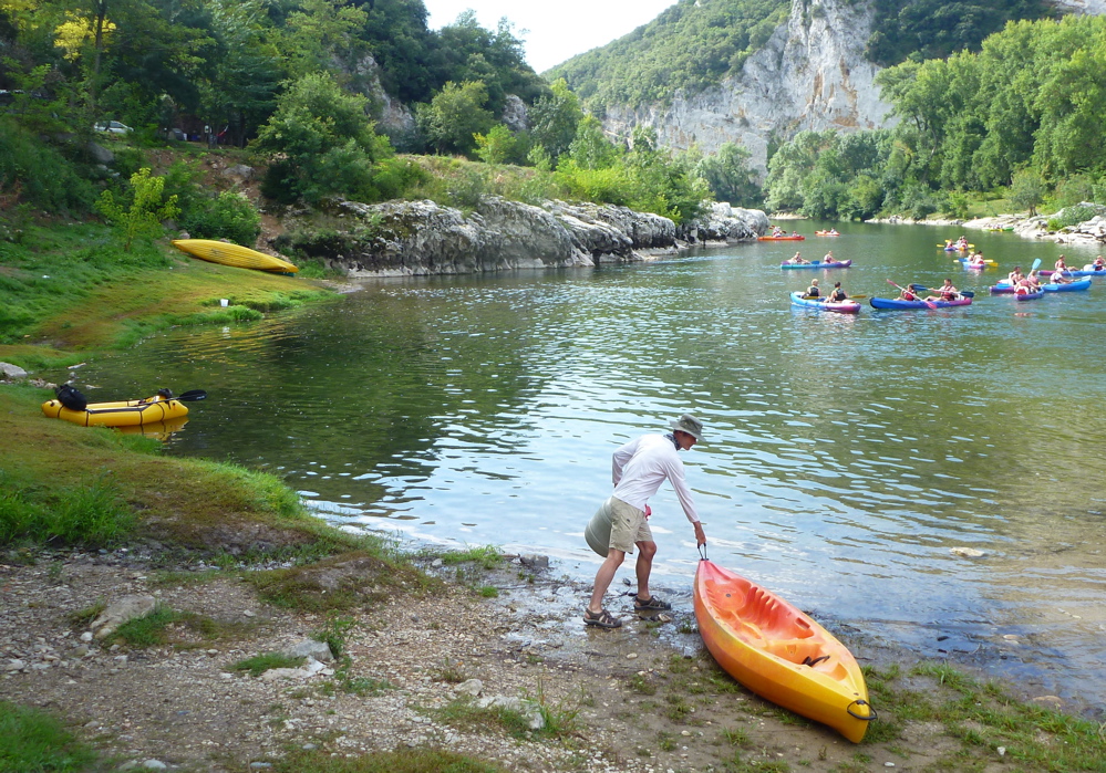
Next morning a 20-minute walk brought us to the bridge over the Chassezac where other kayakers were putting in their rentals (left) for the standard, easy 8-km run down to Chaulet Plage. That was our undemanding plan for that day too, as Steve was going to have to experiment with getting the most out of his Intex.
The start was a bit of a scrape and within sight of the bridge, heel-bashing the inflatable floor on rocks had pinched and gouged holes right through the Intex. It was just soft PVC after all, not a coated fabric as I thought. It still floated fine on its two big outer hull chambers, but as the day wore on more holes appeared until Steve was sitting in- and hauling a few inches of water.

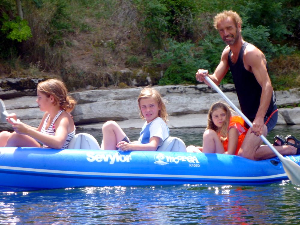
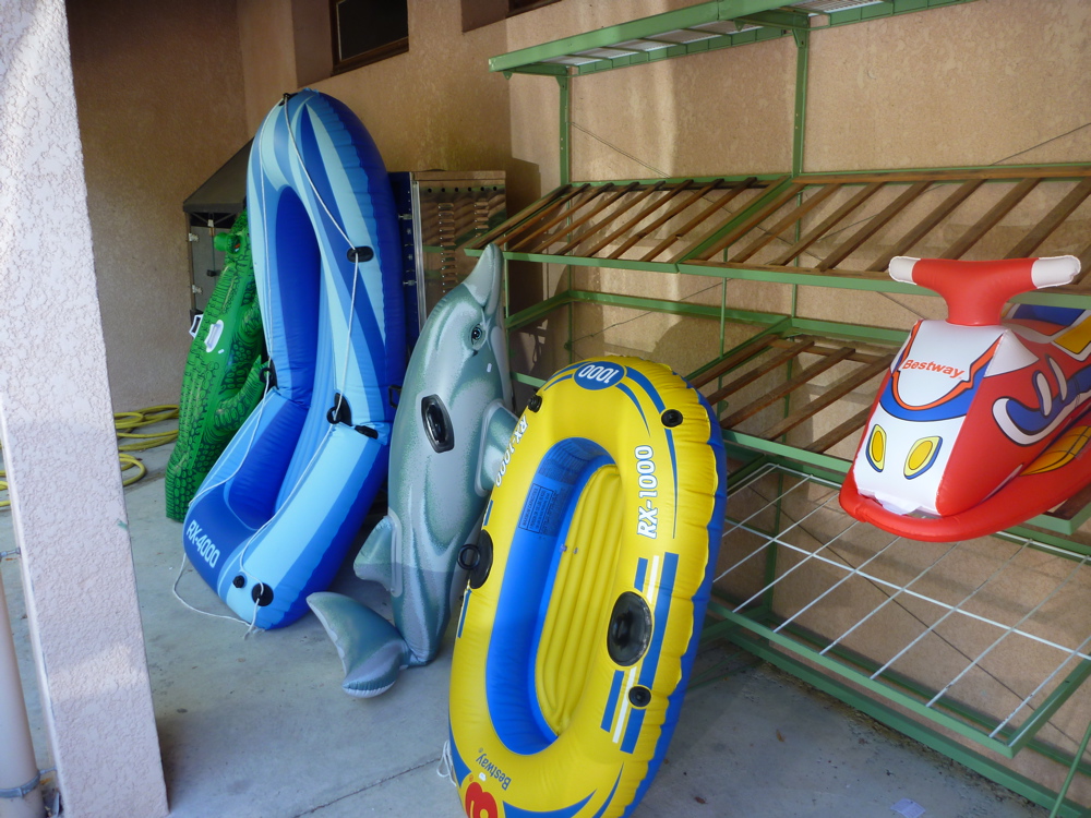
This section of the Chassezac is busy with riverside campsites and holidaymakers in rental SoTs, as well as a few owners, mostly in Sevylor IKs. We met a guy who’d had his Sevy 10 years with only one flat, as well as a Brit couple enjoying their Sea Eagle. Perhaps these brands aren’t so bad after all!? At times it was like passing one long seaside beach with kids shrieking and bobbing around on inflatable dinosaurs, dolphins and teapots, almost all made by Intex.

Steve rode his Boat Hawk stern first, then bow first, but it made little difference, the semi-swamped dinghy steered like a wet mattress and required as much effort to paddle, while still floating in a legal sense.

But despite what the Massif canoeing book (right) said, none of the rapids along the Chassezac caused us or most others any concern, and we arrived at Chaulet Plage camping that afternoon to assess the damage to the Hawk’s floor. It was pretty mashed up (right) and his small roll-top dry bags had leaked too, soaking almost everything and giving a soapy tang to the coffee for the rest of the trip. Duct tape would have been a quick fix, but with none around, we dabbed on some glue and a few patches on the bigger holes.

With the Intex so easily damaged by normal paddling, we were unsure it would last, but you couldn’t take a rental SoT from the Chassezac to the separate Ardeche which was another day away. To get there was a 20-km stage of less frequented river but as long as the main chambers held out, we’d make it to the Ardeche rental outfits to finish the trip as planned.

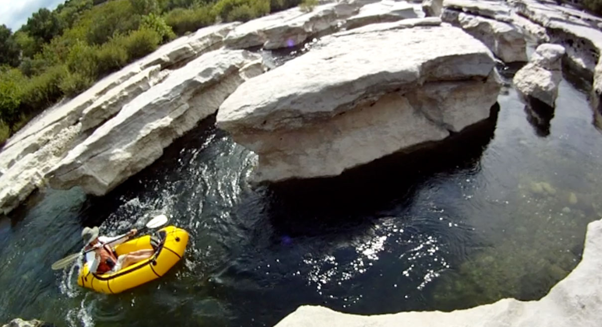
Day two started with a fun maze of limestone pavement (left) to navigate through; we took a few runs in the Yak. After all the playground commotion of yesterday, beyond lay a quiet, rural river with just the odd angler, far from the dreary expanse of ‘dog water’ the Massif book warned of. We nagotiated ankle-high riffles, waded occasional shallows, watched masses of kites overhead and came across remains of old fibreglass canoes (below), a 2CV chassis and stick sail boats.

The lunch stop revealed that Steve’s plan to sit out of the swill on his one good drybag had backfired: that too had got holed with his weight over the floor, so all was soaked yet again. Warm rain fell that afternoon as an easy portage around a strainer brought us to the Ardeche and a return to some sportier rapids. Down here I had a spell in the Intex and could see why Steve was gagging for an SoT. It was like paddling a sack of moldy potatoes and a new split was opening up between the floor and the side. The Sea Hawk was decomposing before our eyes.

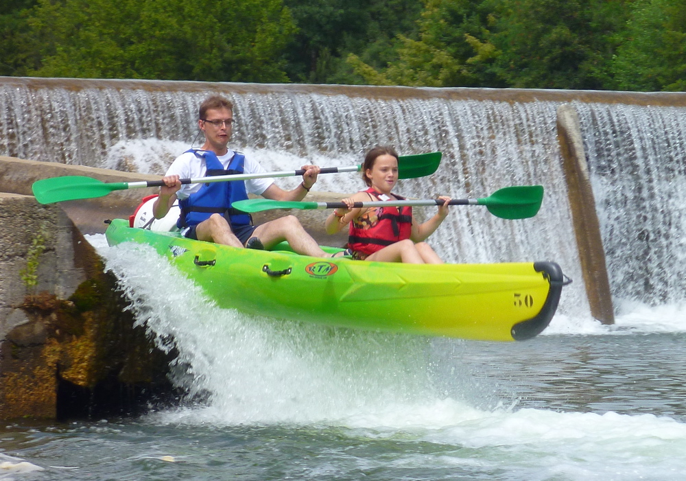
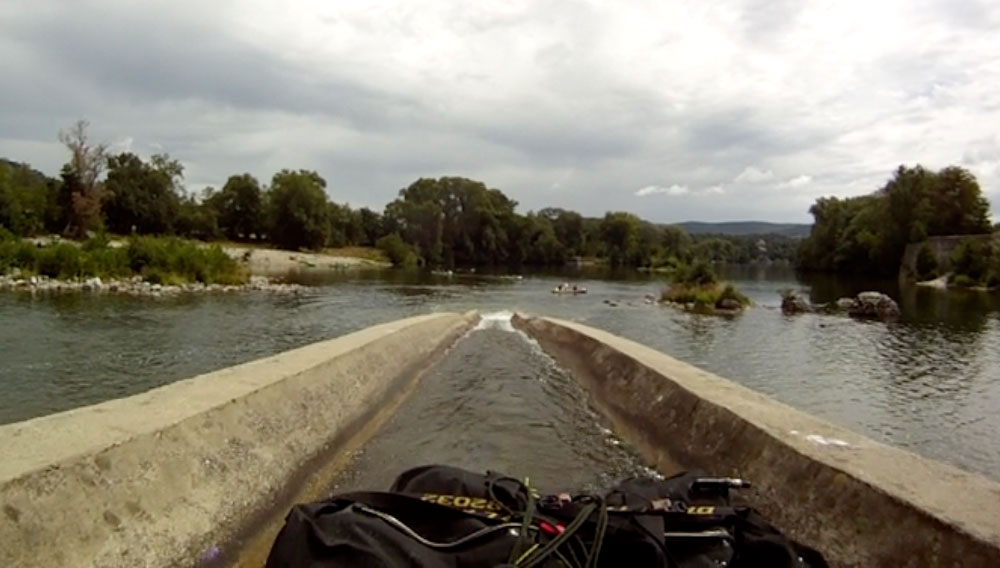
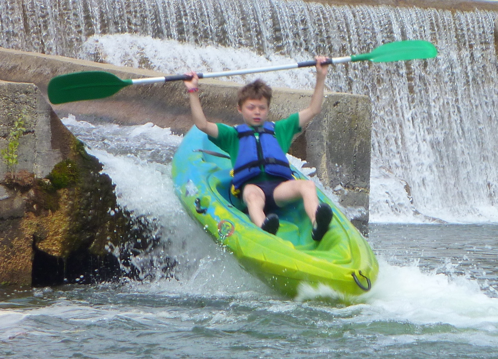
Downriver an old mill house and a false horizon were a sure sign of a weir, one with hopefully a glissiere or canoe chute running off it (left and below). If this was England there’d be red flags, safety booms and neon arrows. Here in France you get just a couple of tiny green markers on the weir wall identifying the discrete entrance to the chute. Miss that and you’ll land on your head. By the road bridge to Vallon were several holiday campsites with an adjacent canoe rental outfit, so we found one with a space and spread out to get dry.

Next morning the mangled Sea Hawk was rolled up and stuffed into the dumpster, but half an hour later it was hauled out again. We could only rent an SoT here if we joined a group. Independent rental was possible elsewhere, so the wretched Hawk was dragged back to the river bank, inflated and loaded up. Another glissiere awaited us just downriver and this one managed to put a small hole in the outer hull; not such a trivial problem as the floor. Steve bravely hauled his sodden water mattress onward, stopping every once in a while to pump it up. Now he sat on the back and had his gear out of the water on the other end, like a packraft. The end was surely nigh for the Squawk, even if it was now Monday and Vallon would have shops with duct tape. I tried to persuade him to tape the Sea Hawk up like a gimp, and keep taping until we got to St Martin, but though it makes a good story, where’s the fun in that? I wasn’t paddling it and as it was the boat handled like a wet paper bag in the rapids which made further damage inevitable. And even on a good day it was just too wide to paddle comfortably – the one-man version may have been a better choice in that respect.

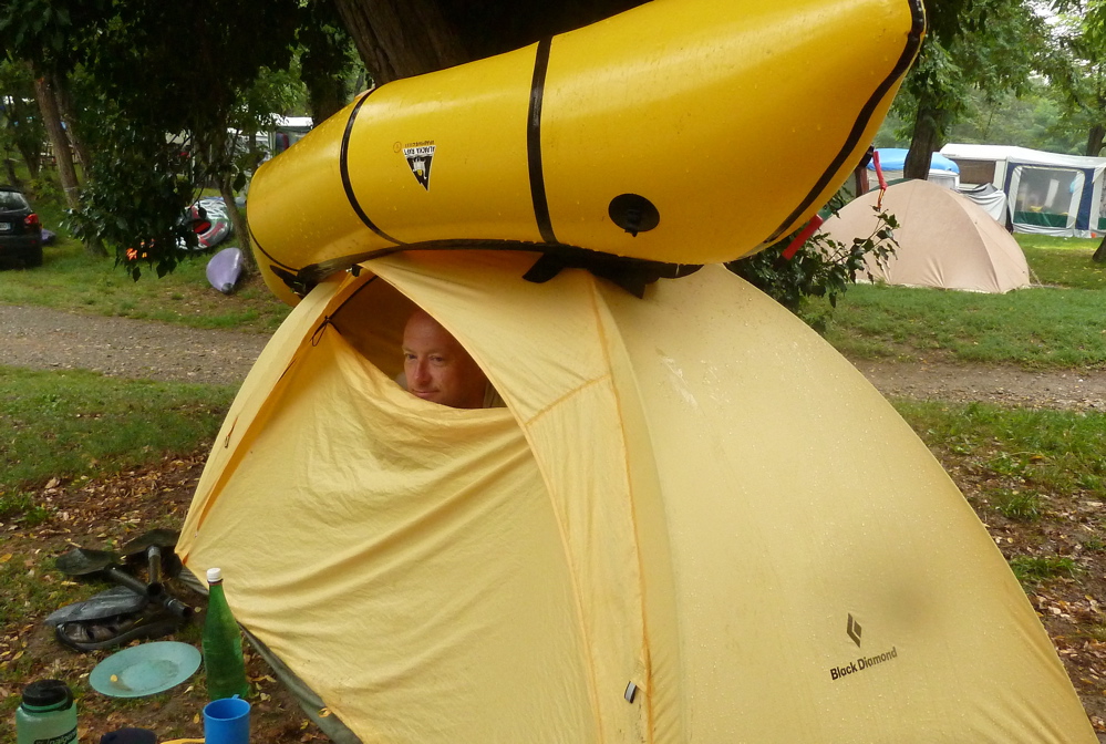
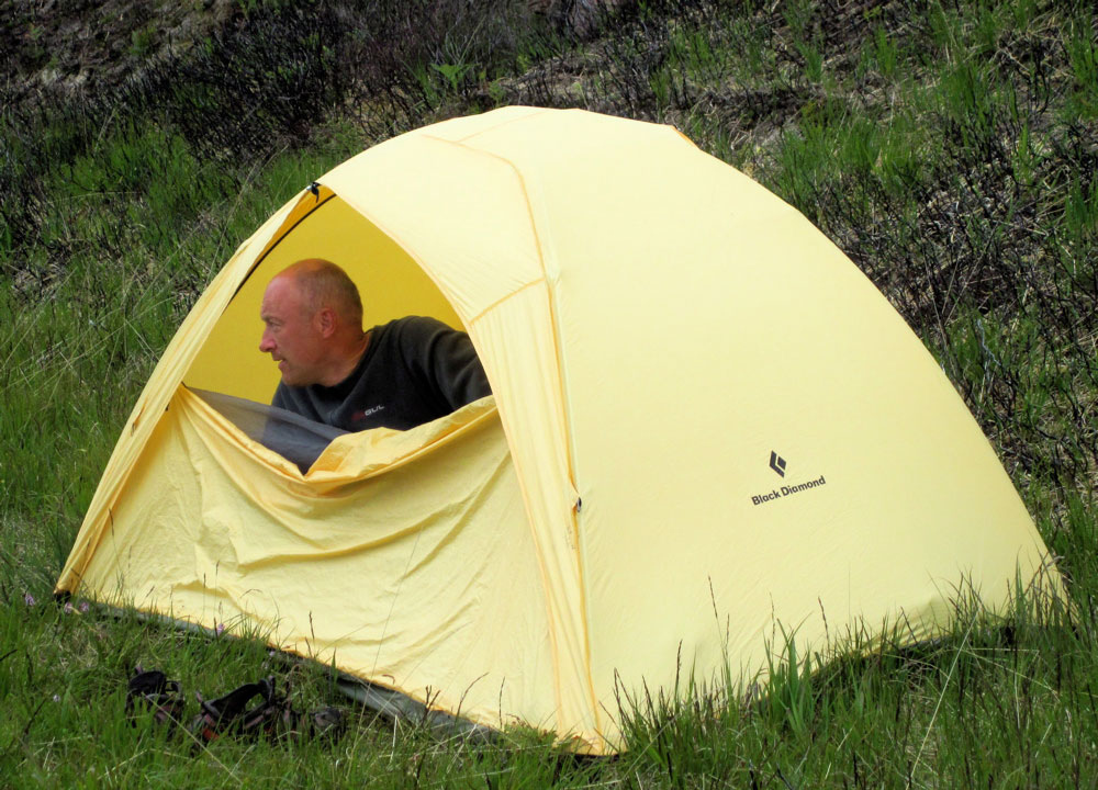
Right near Vallon were a couple of portages, one surprisingly kayak-unfriendly, the other a boat drop where I discovered to my pleasure that my Watershed bags were up to the job. Downriver the bank was packed with campsites and kayakers at the start of the main gorge stage. This time of year all camps were full, but a chance riverside encounter with one patron got us a spot right over the river. The next day it rained, so we sat in our tents eating and reading, me with my Alpacka on my Black Diamond Lighthouse tent (right) which had become rather porous. But despite the rain, kids were still gambolling around in the river below late into the night. Although two weeks in a packed holiday camp is not my sort of holiday, it was fun to see so many people having fun.

By Thursday we were keyed up for some red hot paddling action. The Intex was binned, this time for good, and with Steve in his SoT, we headed down to the famous Charlemagne rapids just before the famous Pont d’Arch, were a crowd of spectators were already assembled to enjoy the daily carnage…

Part 2 here


Around the Isles of Ristol (Incept K40)

Incept K40 Index Page

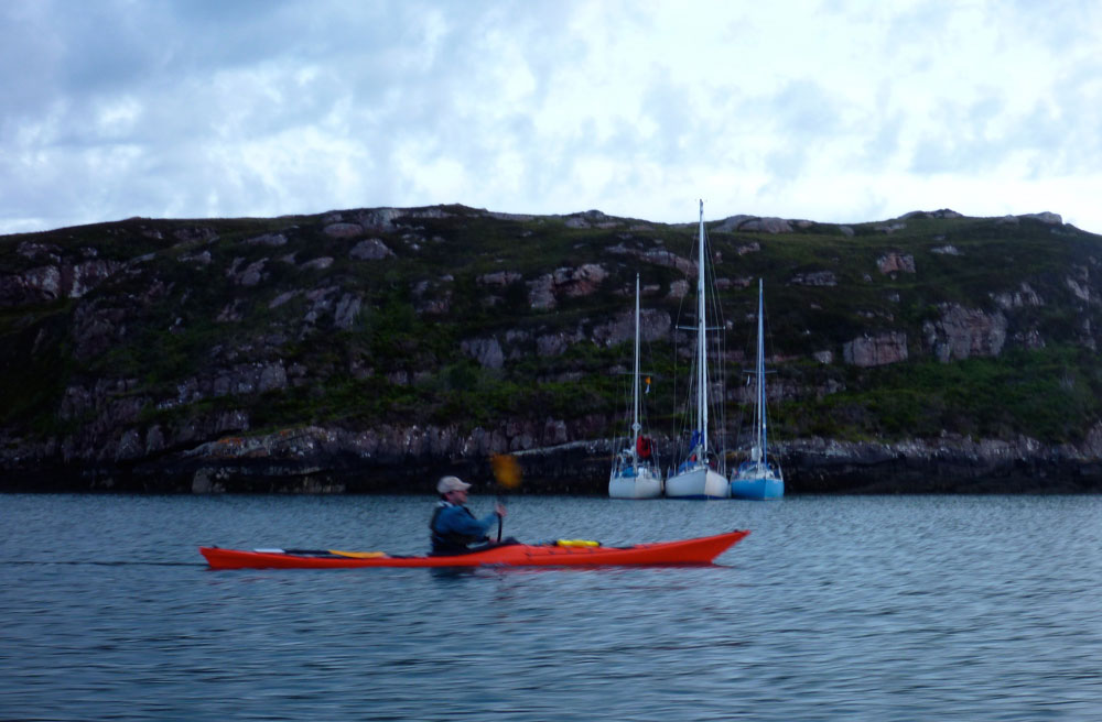
The first stop of the day, for a snack and a bailing session … was on the beautiful little Isle Ristol, where the curve of a petite beach reached out to embrace the approaching kayak in a shingly grin. Here were the rudiments of rest and refreshment in a spirit of abundance without ceremony, from the free-spirited dreams to the always-islands which soften the horizon and bring comfort to the eye. It would have made a wonderful camp, but I had come only ten miles and was good for a few more yet, heading north, away from the sheltered jigsaw pattern of the Summer Isles.

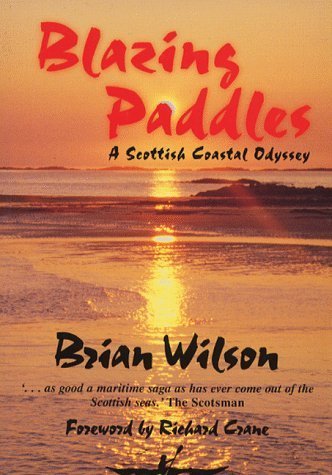
‘Blazing Paddles’ (1988), Brian Wilson

Today was a bad day for sailing. But for everything else, including paddling, it was about as good as it gets up here. The skies were clear, the sea was still and the breeze barely rose above walking pace.

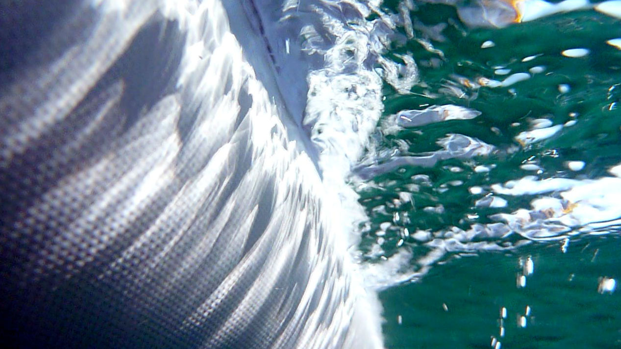
A day earlier I’d paddled off the beach 4km west over to Isle Ristol opposite Old Dornie anchorage. On that occasion, for the first time I actually sensed what must have been a helpful push from the outgoing 2-knot tide which was at its height at the time. Once at the island a lull presaged a change of wind direction and a light headwind rose up. So I popped into a small fissure for a look then sailed slowly back. With no rhythmic splish-spolsh, splish-spolsh, I realised how pleasant it was to be free of paddle noise and amused myself by shooting underwater vid with the rediscovered Go Pro. This ‘hands-free’ PA sail is still a novelty!

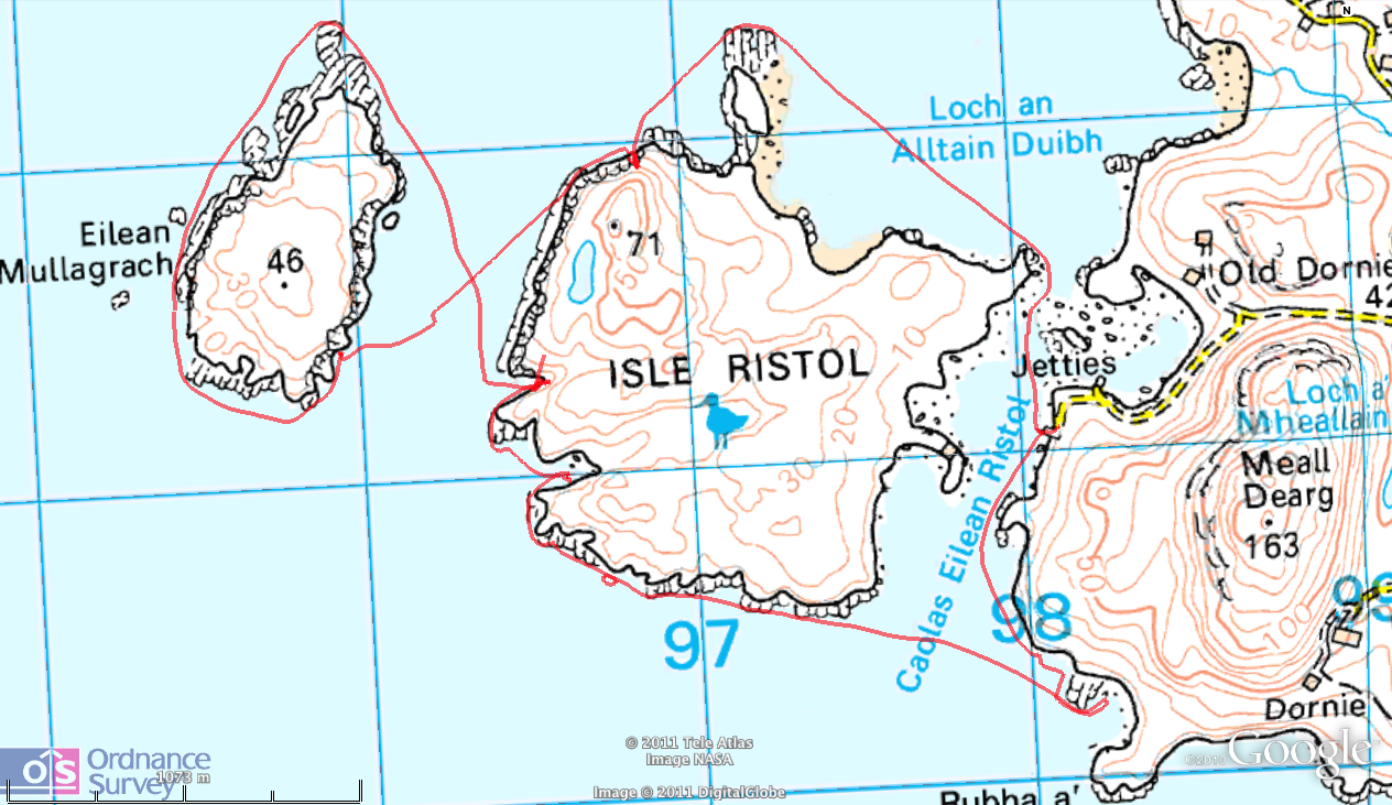
Today was going to require lots of splish and spolsh, but the tranquil conditions encouraged me to try something a little more daring: around Isle Ristol – all 4 or 5kms of it. It may not be Iceland or Tierra del Fuego, but there’s still a sense of accomplishment paddling out to- or right round an island.

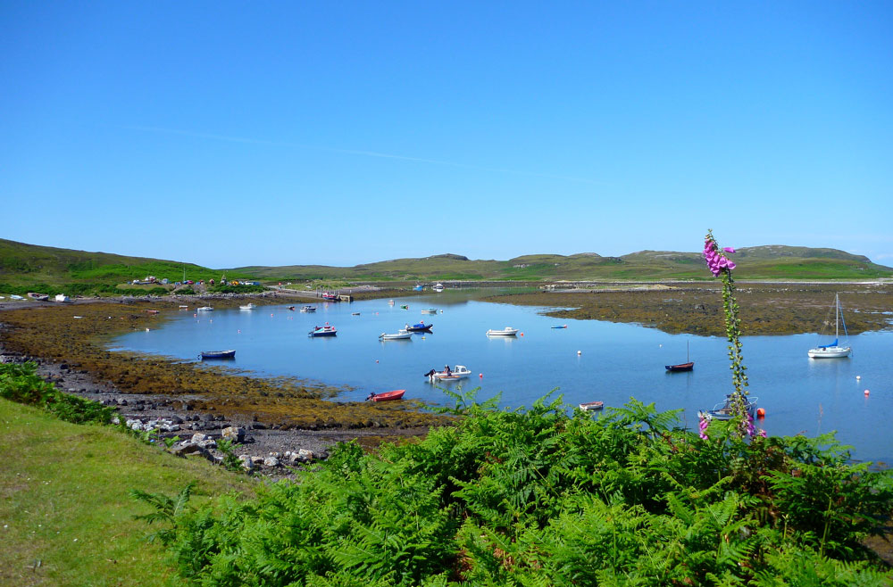
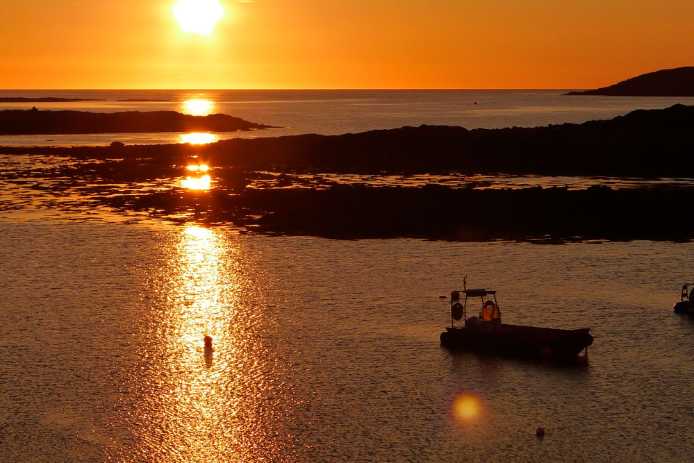
And it’s always fun to paddle out of Old Dornie (left, and bottom of page) as by Scottish standards it’s quite picturesque. A few fishing and rec boats bob around and on a very low tide you can just about wade over to Ristol through the kelp.
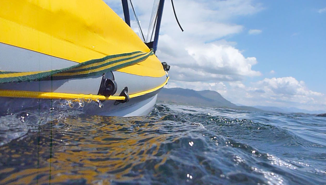
I set off at midday; an hour of so before low tide which (by pure coincidence) should have meant negligible currents swirling around between the isles. As it was a warm day and the K40 had been strapped on the car since yesterday, I took the trouble to re-temper the air pressure once on the cool water. The firm kayak responded by gliding swiftly away from the jetty and when I just paddled normally, I was doing just over 4mph.

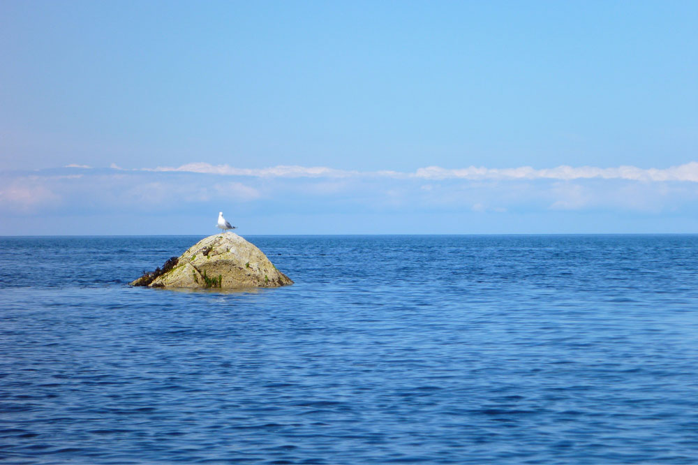
Low tide also meant more land to paddle around and I was forced out around the spur off the north of Ristol by the beach, and out into the unknown. Over the horizon a band of pink clouds lay over the Outer Hebrides as I passed a lone gull (all white seabirds are ‘gulls’ to me) perched on a rock, guarding the way to the open sea. I had a print-out of Ristol on my lap to read each passing inlet if, for some reason I lost my nerve. But beyond the sentinel gull, conditions remained tame.

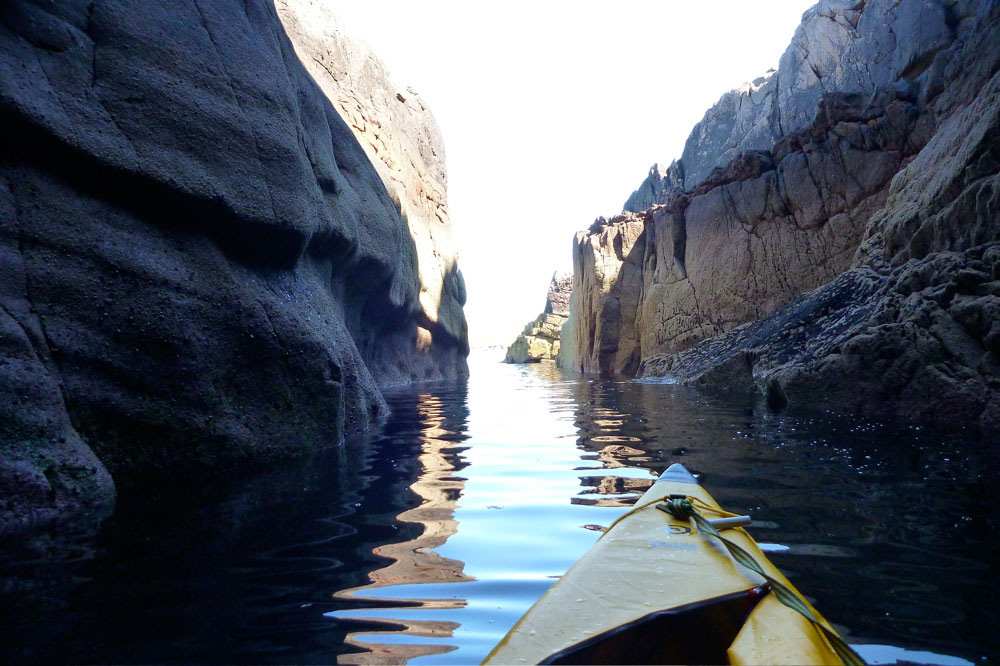
Encouraged, I headed in towards a tumbled cliff and the dark cleft of a sea cave, as wide as my boat is long. New to such probing and aware of the risks, last week while exploring the cliffs along the east side of Achnahaird Bay, I’d dared myself to paddle into a similar cave, catious but intrigued. As here, the over-amplified swell spooked me as it reverberated out from the dank base of the cave, and I was pleased to get out of there quick before some rogue wave came in and pinned me against the ceiling. It didn’t happen so, as with this whole game, you do something scary once and survive unscathed, you get used to it.

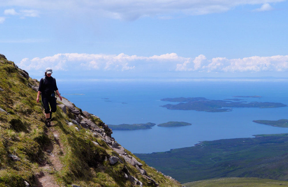
Back in the open and heading further out, I watched for the intimidating swells which never normally reach the lee of the Summer Isles where I usually paddle, but none came. Could it be so easy? I entered the 500-metre passage separating the back of Ristol with Eilean Mullagrach and decided the probability of making it across to that outer isle and back without ending up on the wrong end of an RNLI press release was really quite high. A few weeks ago we’d met some campervaners on Ben Mor Coigach mountain (above left), a great ridge walk that looks down on Loch Broom, Coigach and over to the Assynt. They were also packboaters and mentioned paddling their Advanced Elements double out to Eilean Mullagrach. Crikey, they’re braver than us I thought, as the weather was not so stable back then, but they explained they had a full complement of VHF, flares and all the rest. They’d mentioned an arch and a stack on Eilean Mullagrach which had intrigued me.
I aimed across the passage towards a likely looking inlet of fallen rock, but as I neared it I pulled up, listening and watching the seabirds bobbing about like me, or taking a running paddle back into the air. It was nice to just kick back and relax at will instead of endlessly going somewhere before something bad happens; a common reaction to perceived exposure and anxiety, and not just when a mile offshore!

Fact is I’m morbidly fascinated and scared by the sea, which is partly why I was drawn to those two trans-Atlantic books. I’ve been reading a lot of other sea kayaking literature lately;  back issues of OP magazine recounting unprecedented white-knuckle circumnavigations at record-breaking speeds, and just finished, Brian Wilson’s Blazing Paddles (quoted above). These yarns often sound like war memoirs; compelling and character-building experiences for sure, but not something I aspire to. Viewed from the outside, the UK scene seems to be one of testing yourself. Perhaps the prevalent conditions up here on the northwest coast demand it, because if you can handle it the reward is access to what must be one of the best sea kayaking locales in the world. But though I’m motivated by my own mini-challenges, such as reaching an island you could almost swim to, I’ve had my white-knuckle epics over the years doing other stuff.

At my age the appeal of sea kayaking is sedate touring which is what made Shark Bay such a memorable trip. Coast-hopping on calm, sunny days in warm water; what I’d class as ‘Mediterranean’ rather than Hebridean paddling. Like all the other means of transport I’ve used for more adventurous travels, a kayak is just the latest way of reaching and exploring wild places, rather than pitting myself against wild seas. Today, the edge of the Minch was more Aegean than Atlantic, and the calm conditions encouraged me to slow down and smell the sea breeze, nose around aimlessly or even just drift. For once no pressure to keep alert and moving in case an ill wind or foul tide called for the usual over-reaction.

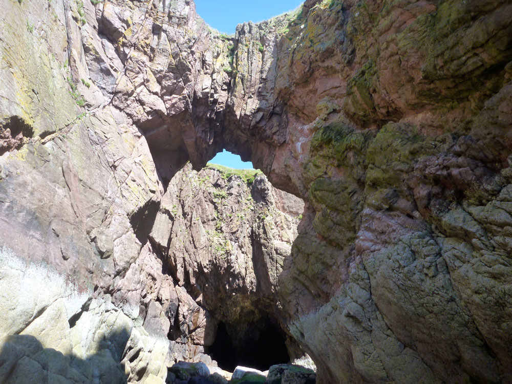
As I turned into the inlet on Eilean Mullagrach, I saw the arch the campers had mentioned unfold before me (left), spanning 40 feet above the shore. At the top of the tide with the sea level 4 metres higher, it would be easy and fun to paddle under it in a low swell.

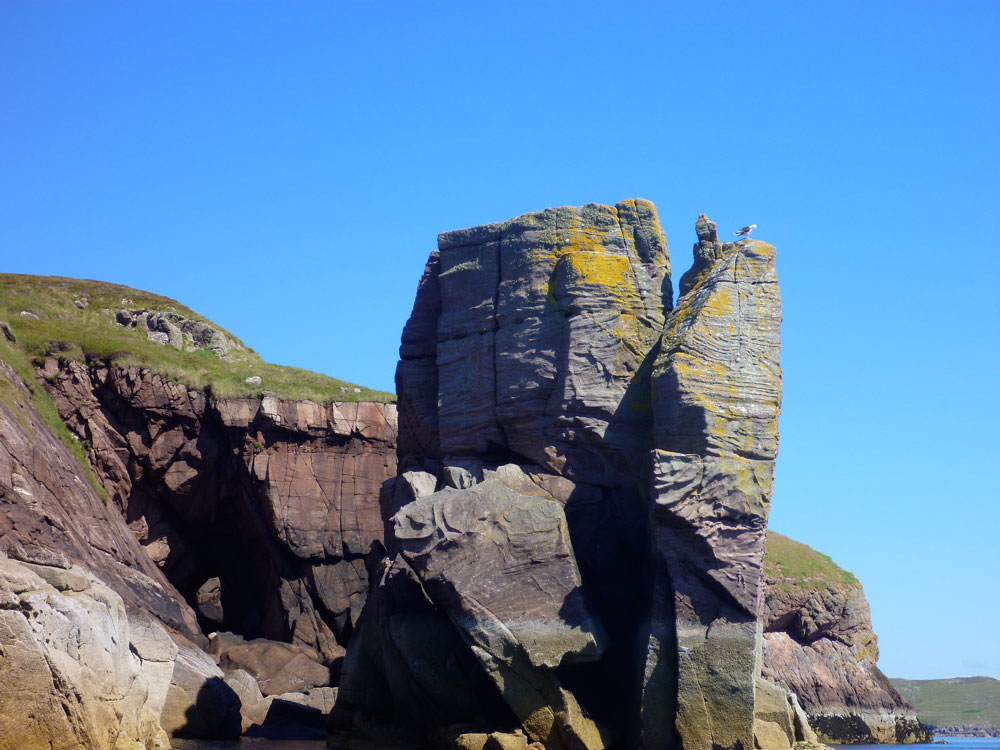
Pleased with my discovery I decided, heck let’s go crazy and carry on around Mullagrach too – or at least push out as far as I dare. I had no map for this island but knew it was about a quarter of the size of Big Ristol – 2 or 3 kms round – a lot less than an hour’s paddling, surely. As I rounded the southeast corner, there too was the stack I’d been told of, with the very same guardian gull on top, watching me like a beaky coastguard.

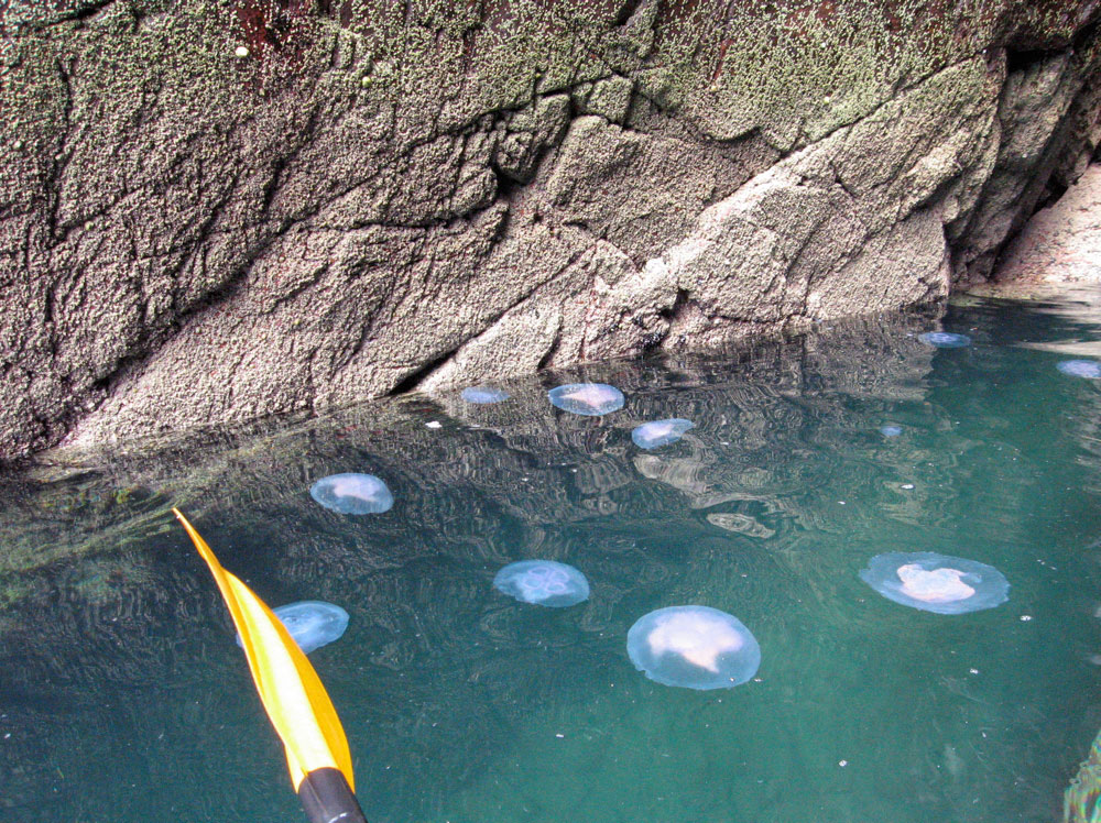
Again, at high water you could probably pass behind this stack; something to try for next time. I moved out west, into the dreaded Minch. With all land behind me, the light was suddenly much brighter, the pale blue sea stretching out to infinity. A light swell was breaking over some flooded skerries where a couple of cormorants looked out to the west as if waiting for something. Small jellyfish drifted past and I remebered how amazed I’d been to first encounter these exotic, dinner-plate sized blobs camping on the beaches of Arran in the mid-70s. Jellyfish? In Scotland? Whatever next – dolphins, harbour porpoises? We saw a pod playing out in the Bay one evening last week. Nice though it was to commune with nature, I was actually rather conscious of my exposure here and so paddled along briskly, keen to catch sight Reiff hamlet at the end of the Coigach peninsula, and the back of Isle Ristol soon after. At one point the swell got a little alarming and the boat squirrelled about, but I steadied my nerves – just keep paddling forward while avoiding the surf and rocks.

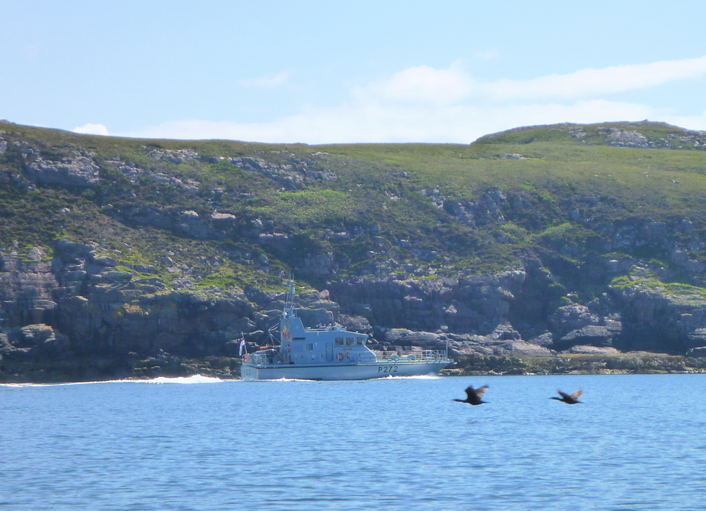
Coming round the north spur of Mullagrach where the low tide had annoyingly prolonged my excursion around another spur, what looked like a navy patrol boat came down from the north. What were they doing up here I wondered, and why were there people dressed as civilians on board? Perhaps it was something to do with the tall ships due into Loch Broom on the weekend, although the probable answer is right here.

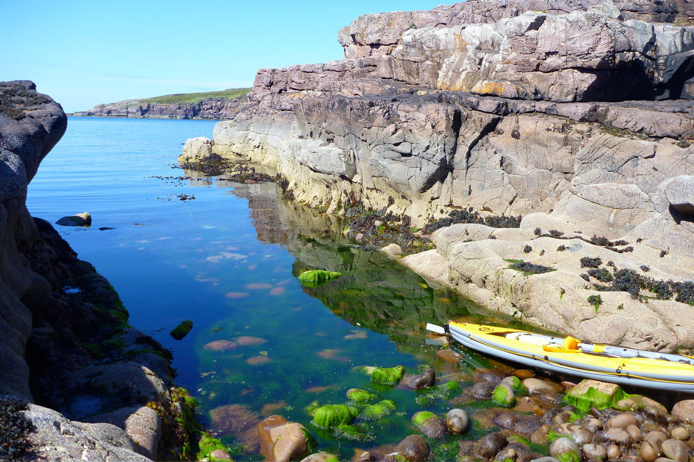
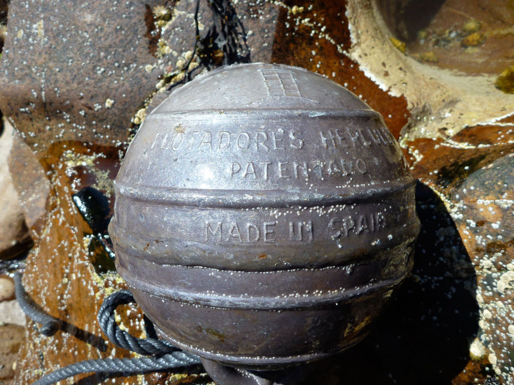
By some geo-tectonic miracle, Isle Ristol turned up just where I’d left it less than an hour ago; with some relief my paddle past the edge of my known world was over. All that remained now was to dawdle back to Old Dornie, dipping in at an inlet or two along the way to see what I could find. At the back of one narrow chasm (left) among all the usual plastic detritus I picked out an odd buoy that looked like it was made of pewter (above left). Most probably it wasn’t a relic from the Mary Rose but merely corroded aluminium, but it struck me looking at it later it could be a circus bomb with a dangling fuse.

With it all at my doorstep and work that can wait, I’ve done some great paddling around the Coigach these past few months, but just as the weather’s settling it’s time to head back south. So, rounding the Isle I decided to head string things out and across to the ‘Wasp Factory’ bay where I’d had a memorable evening paddle when we first got here back in May. Today’s figure-of-eight tour of the Ristols had been a perfect climax to a short summer’s paddling in the Summer Isles. If you wait long enough, these days will come, even in northwest Scotland.

Blazing sunset

Boat People Trinity IK and Sevy Colorado in Manhattan

Pierre B has just sent me a link to his gallery about a recent paddle around Manhatten in his Boat People Trinity II inflatable, along with a mate in a Sevy Colorado.

Until I clocked the bladder-free Incept, the BP Trinity II was a boat I considered once as a replacement for my Sunny. It’s like an Aire Sawtooth but no less than two feet longer and just an inch or two wider than a Sunny. And best of all it bails so the wash off the Staten Island ferry need hold no worries.
The full gallery is here

Another Trinity post

Packrafting on Inverpolly

Other Sionascaig paddles

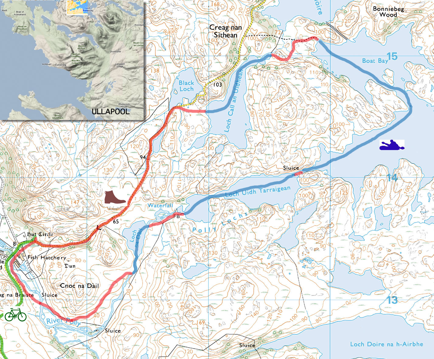
A sunny and a warm day, so although I was still feeling a bit groggy following a cold, it was high time to enact a mini-packplan: head out to Inverpolly and string together some of the lochans on the west side.

I’d nipped out there a few days earlier to check the lie of the land and try out some used Jungle boots, and although the maps warned of sluices, it all looked doable from the hillsides above.

And judging from the terrain I crossed to get there, it would be a whole lot easier to paddle than to walk. At the end of this paddle my shins were all scrapped bloody by dry heather stalks and other brush. Some sort of plain canvas gaiters are needed to walk across this stuff, even in long trousers. More gear… sigh.

The Mrs had nipped off to Handa Island with the car, but it suited me fine to cycle out to the lochans by the fish farm on the WMR to Lochinver. I stashed the bike behind an old shed in the woods and walked on up the road.

Loch Call‘ where I’d chosen to put in isn’t visible from the WMR which explains why I overshot it a bit, but a splash in the loch to cool down followed by paddling to the north end lined me up for the path down to Boat Bay. It’s one of only two paths I know of to access the lochans. But why were my arms so weak? it was only a cold for goodness sake! I decided to scoff all my sandwiches in the hope it was food I was needing.


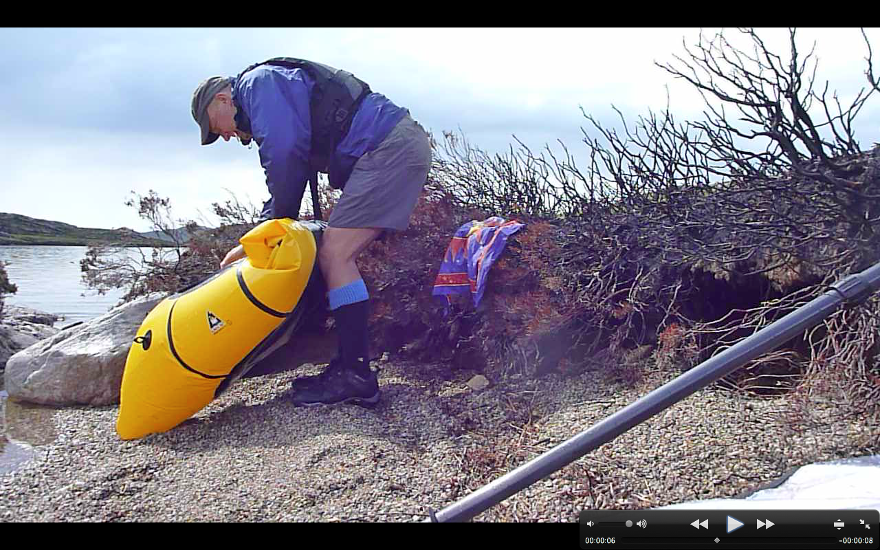
Paddling out of Boat Bay the wind was firmly at my back and I sped along at an effortless 3mph+, and noted no ‘weathercocking’ (back end swing-round) as you can get with a kayak without a rudder or skeg. A packraft is a whole different thing of course, with all the weight in the back. If anything, going into the wind sees the lighter front come round if you stop paddling briefly.

That same 10-15mph wind that pushed me along would probably be in my face when I turned the corner into Loch Sionascaig (above) and headed southwest, and sure enough it was, but not enough to spoil my day. The sandwiches were kicking in by now and I shovelled my way towards the first sluice, surrounded by the three mountains of Stac Polly, Cul Mor and of course Suilven, which give this paddling location it’s unique character. How wonderful it is to be out here in the wilds, fanned by a warm breeze and for once not being chocked from all angles in faux-breathable, latex-trimmed wet wear. This could almost be France or Scandinavia in a heatwave.

First one, then a couple more fishermen cropped up, standing alone on the banks, dipping their rods and exuding the usual unfriendly vibes. How did they even get there, I wondered? Not looking intrepid enough to have tramped over the hills, they must have paid their dues and been dropped off by the Inverpolly Estate’s boat from Boat Bay. Then a bloke comes round the corner paddling a yellow inflatable bath and threatens to put the wind up their trout.

I neared the sluice (above: from above; left, from the south) at the southwest corner of Loch Sionascaig. On my Suilven overnighter a few weeks back, I’d noticed something white hereabouts while on the way back to Boat Bay from the north side of Sionascaig. Turns out they were just big white bags of rocks left over from shoring up the crumbling sluice wall. Most of the water pours though holes in the wall but even then, considering the size of Loch Sionascaig, there’s no danger here of getting sucked into anything nasty at normal levels. Should the wall fail, that could be another matter.
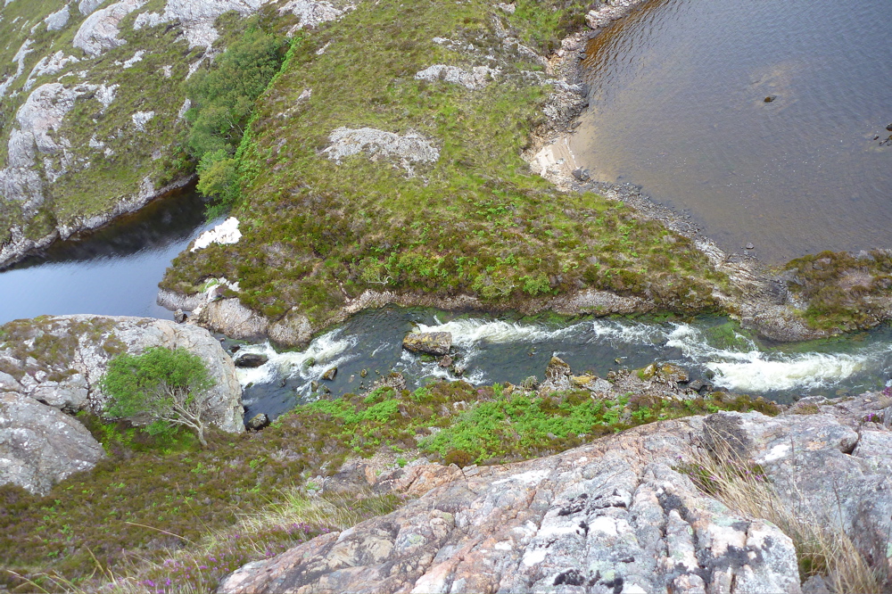
It’s about a 10-metre drop (above) into the steep-sided Loch Uidh which leads to a gap. Here as expected, the wind was funnelling but was counteracted by a slight current running my way. This soon ended at another crumbling sluice that might have been runnable (below).
I came right up and had a good look but decided the raft was too wide to make it down the chute and one-foot drop without me making a mess of myself, and I had to get out soon after. So I walked round and down alongside a series of torrents to the last paddle, Loch Na Dall. This happens to be linked by a short car track to the WMR (not on the map); a good take out if you’re in a canoe.

Although I’ve read of canoeists paddling the slim lochs below Suilven, portaging over to Loch Sionascaig and hoping to follow the Polly all the way to the sea at Polly Bay, what follows from Loch Na Dall isn’t really worth the portage, even if you’ve had a great time up on the main loch. It’s an ankle-twisting haul on a bumpy paddle all the way down to the fish farm, and the one kilometre downstream section after the road bridge at the fish farm (sluices and strainers) to the sea may well raise frowns from the Estate. But perhaps in winter, with the higher water levels you’d need for a clean run, no one’s bothered. Anyway it pays to remember: this is enlightened Scotland where outdoor access is a legal right, though always best combined with common sense. I’ve spent the last couple of months enjoying this freedom up here so it’s worth spelling it out:
The Land Reform (Scotland) Act 2003
“You can exercise these rights, provided you do so responsibly, over most land and inland water in Scotland, including mountains, moorland, woods and forests, grassland, margins of fields in which crops are growing, paths and tracks, rivers and lochs, the coast and most parks and open spaces. Access rights can be exercised at any time of the day or night.”

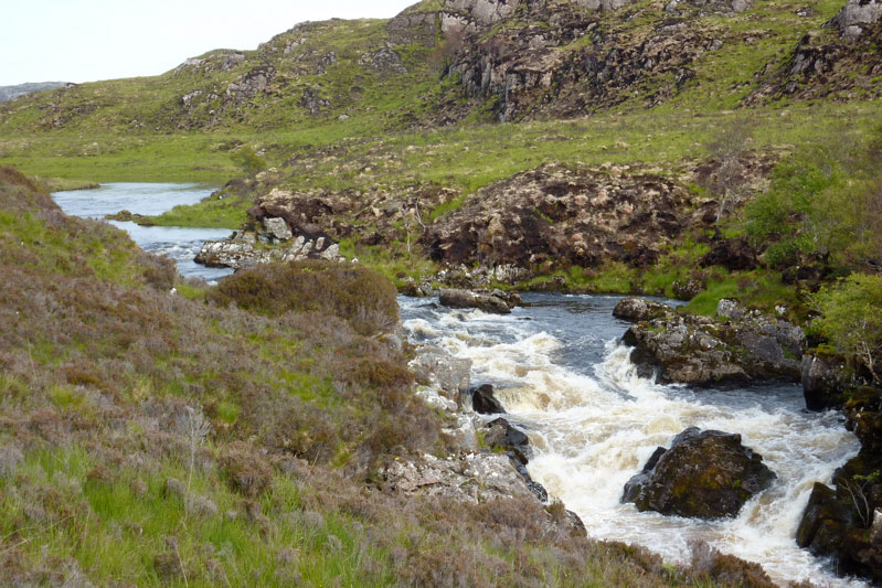
Back to the packrafting. The south end of Na Dall was asprout with grassy reeds which created a briefly exotic paddling sensation. At it’s end the river dropped down into the valley, but there was no tell-tale roaring and the contours on the map suggested it didn’t drop immediately. So after peering from the intake, I dived in with blades churning, only to get hung up on a rock at the first drop. Free from that and on the move, the underside of the plucky Yak whined periodically as it slid over successive obstructions; another high-centred hang up, another clumsy, butt-pivoting, paddle-bashing extraction, gaining nul points for style.
That led to a breather in a pool and then another frothing drop, the camera by now sagged from the jolting. It had turned out to be a couple of minutes of unexpected action, but up ahead there was that ominous noise and I knew it was time to hop out ahead of a series of stony drops (below). I rolled up the Yak and tramped back down to the valley and the bike shed.

Riding back over the hill to Osgaig Loch at a quarter of the speed I came down it earlier that day, there’s a hoot from behind. ‘What!?’ I snapped, eyes stinging with sweat. Another hoot ‘WHAT!?’ Ah, pardon me, it’s the g-friend back from Puffin World while I’m puffing away in two-one, as red as a puffin’s beak and as sweaty as a sauna full of guillemots.

‘Want a lift, puffinboy? You look a bit hot‘.

I was actually anticipating the freewheeling rush down to Osgaig Loch where I’d had half a mind to try rafting the bike over to the other side. Never tried lashing my bike to the bow of my packraft before – it seems an awkward thing to strap down securely, but others have managed fine so it needs trying out once. Something for another day. We hooked the bike up and drove home.

lochanss

Summer Isles Overnighter (Incept K40)

Incept K40 Index Page

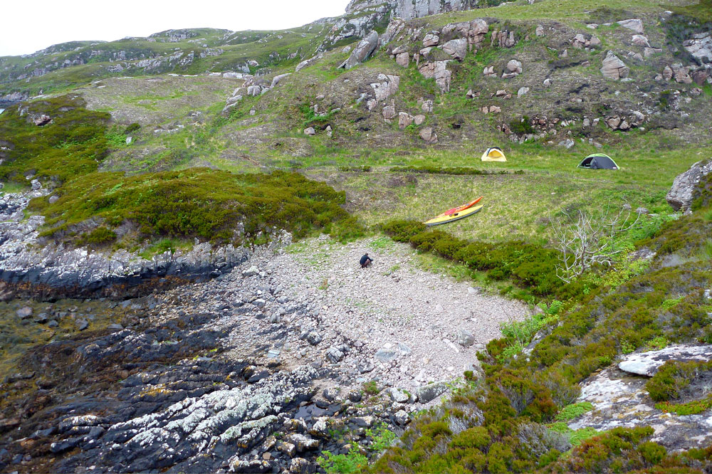
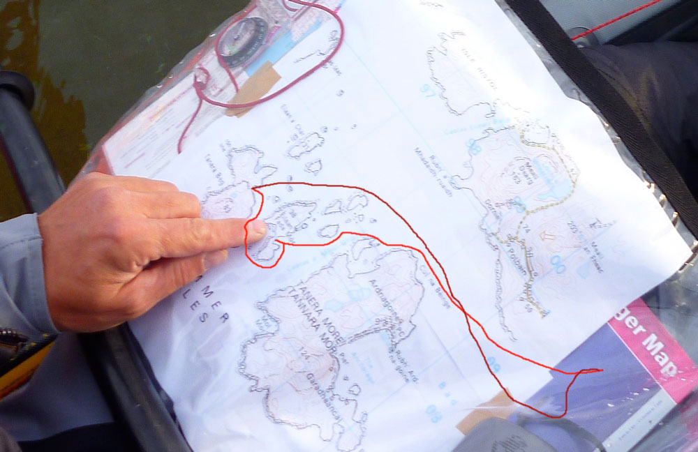
Friday night Jon and I paddled over to the Summer Isles on an exceedingly calm evening. After a bit of dithering looking for a place to camp, we hacked through the seaweed to get onto Tanera Beag about 11pm where we set up for the night.
As predicted, it got windy and flapping tents meant we didn’t get much sleep, although at one point a sudden lull at 3.30am did wake me up with a start. Out over Polbain the red sky was already presaging the dawn, just 80 degrees east from where the sun had set 5 hours earlier.
Heading back later that morning into an F4, it was nice when that part was nearly over. Near the each I hooked around the and tried a bit of disc sailing – it works but I definitely need a bigger sail.  A few days late but I got my midsummer’s mini adventure after all. 

Suilven packraft triathlon

The forecast was good and with time running out, such days cannot be ignored.
‘Let’s go and do Suilven‘ I said to the Mrs.
‘Better still, let’s take the bikes and the packraft, park the car at Inverkirkaig, cycle to the trail head, climb up the north side, down the south side, and paddle Fionn Loch into the River Kirkaig for the footpath back to the car to get the bikes.’

‘What was the last bit again?‘

It’s a hilly 6-mile ride from Inverkirkaig along the WMR and up to Glencanisp Lodge where the road ends. From that angle Suilven rises like a sperm whale’s head over the gorse and lochans. Maybe it was the sunshine, but Glen Canisp that day looked like something out of a Scottish Tourist Board advert, and was made all the more appreciable by the easy quadbike track we followed east. One time that would be great walk to follow the 14 miles all the way through to Cam Loch and the A835 near Ledmore.

Of course, as ever these days, I was eyeing up the pack-potential of the Abhainn na Clach Airigh river too; actually string of easy lochans and gorges (left), linked with flat or frothy river stages. That too would be a great run, more probably from the Ledmore end, and with a handy bothy at Suileag. Or cook up any combination you like; with boots and a paddle the possibilities here or anywhere in northwest Scotland are infinite.

There comes a point directly north of Suilven’s twin-peak saddle (right) where you have to leave the easy track and head south into the bogs and up. You can’t see a path up the side of Suilven, but it pretty much follows the creek running down from the saddle; an hour and a half’s slog from the quad track that’s as steep as any track can be, without using your arms. And yet, as long as you keep chipping away (left), it’s always quicker and easier than it looks. And it’s quite a thrill to approach the saddle and have the Loch Sionascaig vista erupt before you (below right) as you catch your breath.


G/f decided to rest here while I took on the last 130 metres up to the summit, about 20 minutes away. For some reason a ‘magnificently pointless’ dry stone wall straddles the summit ridge near here. A quick look on the web came up with no convincing reason to its origin, though it does extend downwards enough on each side to stop agile stock either leaving or getting to the summit. And on the actual top there’s certainly enough room to graze a few sheep as well as curiously closely cropped grass. We’d not seen a sheep all day so unless deer make the climb you do wonder what grazed the grass up here? More Suilven summit mysteries.
From anywhere up here we could see the way back; the put-in near last week’s camp and the 2-odd miles along Fionn Loch to the entrance of the River Kirkaig (left). These waters define the border between the counties of Ross & Cromarty and Sutherland. While I was planting the flag, G had been scanning the scene below with binoculars and had spotted the waterfalls on the River Kirkaig we very much did not want to get sucked into.

lochanss


We set off back down the looser south side slope, don’t want to go on but it was another validation of the knee-sparing Packstaffing Way. Without it it’s hard to see how anyone would not stumble or slip a couple of times. Passing the spot I reached last week, strange barking sounds emerged from the heather. A grouse in distress? Turns out G with better eyesight had seen a couple of dashing deer right in front of me.
Down by Fionn Loch I wasn’t convinced two-up in the Yak was going to work or be safe. But we tried fitting in on the bank and in fact it was roomy enough with my legs out over the sides. So we put in and pushed off west across the loch (left) for the river, initially following the shore. Then as it became clear the 3-kilo boat-in-a-bag managed its 160kg (350lb) load fine, I set the engine for full ahead against what I perceived [incorrectly] was a slight current as well as a breeze. Amazingly (or perhaps not) I’ve never seen my packraft track so well with the near-perfect trim.
About 40 minutes later the entry point to the river loomed, with a mild rushing sound caused by the race of water flowing off the loch. We were a little edgy, knowing a deadly waterfall lay not far ahead. We let ourselves get swept in and as soon as I entered the river the boat handled differently, like a kayak in a backwind. It was the current of course wafting us onward. I went as far as I dared and stopped paddling for a moment – a louder rumbling of white water became evident. Two up, sluggish and with no BAs, we didn’t risk it and headed for the bankside footpath.

Rolling up and looking back, it seemed hard to believe we come up and over ‘Pillar Mountain’ as the Vikings had named the prominent maritime landmark of Suilven. By taking to the water we’d saved a bit of time over the path and rested the legs for the last hour’s trek back to the car and a short drive back to Glen Canisp Lodge to collect the bikes. All up, a great day out; 7 miles cycling, 2 paddling and a dozen on foot. And the Yak had proved itself as able handle the two of us for similar flat water transits.


Packrafting the River Kirkaig
The minor waterfall (left) we took out before might be rideable by the likes of Roman Dial and his intrepid chums, but the thundering 100-foot Falls of Kirkaig (see map, above left) would only appeal to gonzo hairboaters high on Red Bull and Go Pros. From there though, the river far below the track seemed packable to the brave, certainly at a point where the path drops down right alongside and the river where it broadens out, just under a mile or so from the road bridge. All grade II or less; even I could manage much of it. Beyond the bridge, it’s just half a mile to the sea at Loch Kirkaig, which would be satisfying to pull off, but even at the relatively high levels (now dropping), it gets pretty shallow in places and would not be a clean run. But don’t take my word for it. I read the river is listed in the SCA whitewater guide.

Packraft to Suilven Mountain

Gear report here

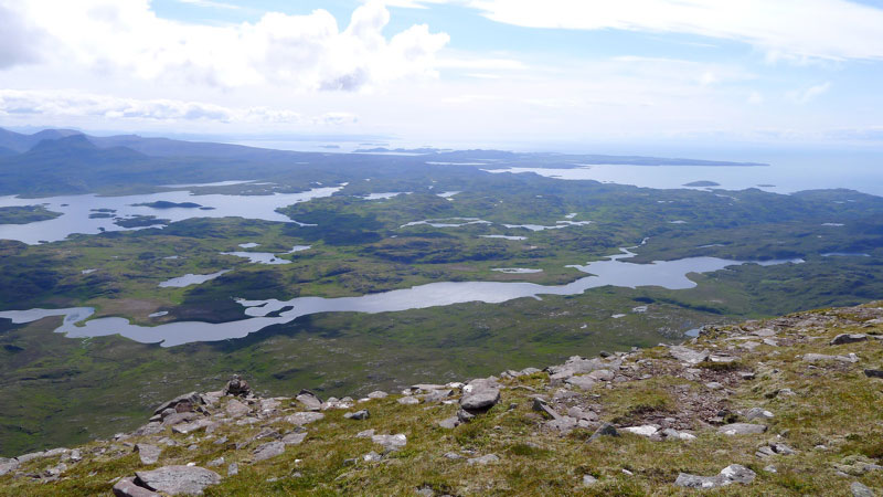
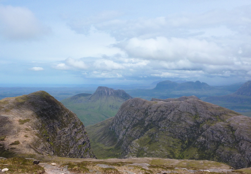
Anyone who’s climbed up the fin-like ridge of Stac Polly will see a wild, lochan- and bog-speckled vista spreading north across the Assynt. Just a couple of miles away are the peaks of Cul Mor and Suilven (main hill, left), relics of a glacier that ground down the land between them as it inched towards what’s now the sea.

lochanss


The OS map shows this area as a Nation Nature Reserve, but it actually lost this designation a few years ago. And although it looks wild – so wild there’s no grazing, nor inhabited dwellings – this 100 square-miles of barely-fenced bog, rock and water is unusually accessible, bordered by quiet roads to the south and west, the A835 to the east, but not much to the north apart from the path passing below the north slope of Suilven. So seeing as this region of Coigach/Assynt has so few packable rivers, these lochans are a great place for short-range packraft exploration following some of the routes suggested on the graphic, right. It’s not just me that thinks so, the local sea kayak outfitter as well as a couple of intrepid canoeists have been coming here over the years. For them the inter-lochan portages require some commitment. But not in a packraft!

You can make up a route to suit yourself here; climb every mountain, ford every stream, visit every island. I chose a pretty easy overnighter and got dropped off by the road at Linneraineach below Cul Beag. There’s nothing at Linner’ bar a footpath which leads north to Loch an Doire Dhuibh (right viewed from Cul Mor).

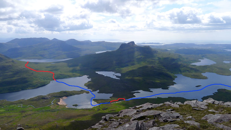
My packplan was to paddle across Doire into the small adjacent loch, follow the channel into the main Loch Sionascaig, pay a visit to Eilean Mor, the biggest island hereabouts (and one of hundreds of Eilean Mors – or ‘big island’ in Scotland). From there I’d paddle among smaller isles towards the northeast shore of Sionascaig and walk past the ruin of Shieling over the saddle to the short river that links Fionn Loch to Loch Veyatie. With a paddle over to the south side of Suilven mountain, I’d find a dry spot to camp and take it from there. Suilven is only 731m or 2398 feet high, but it does have a strong draw on the imaginations of hillwalkers in far northwest Scotland, as do many of the Assynt’s peaks.

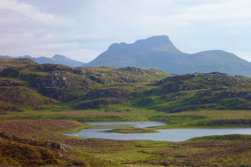
I think much of it stems from its Ayers Rock- or Matterhorn-like separation from its surroundings; a distinctive mountain shape, like the much more accessible Stac to the south. Add the lochans below and the open sea just a mile or two away, and mountain summits around here add up to something special. The picture right is taken from Ben Mor Coigach (743m) looking north over to Stac, Suilven and the distant peak of Quinaig. That’s another thing – the mountains have nice names around here with, you’d like to think, a touch of the Norse about them. This is after all Sutherland, or ‘the South Land’ in the mind of a Danish bloke in a horned helmet, circa 900AD. If you like hills there’s a panorama of some Sutherland mountains below, taken from the tip of the Coigach peninsula looking northeast.

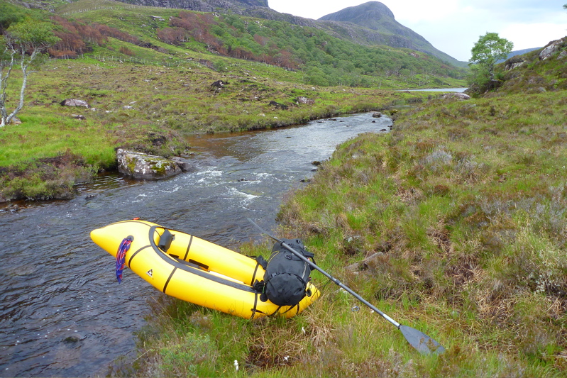
Back to the boating; this was my first proper run in my Yak and as I pulled smoothly away from the shore of Loch Doire (left) it struck me how cool it is to trek over the hills with a pack of only 10-12 kilos, inflate your mini boat and set out across a body of water with your kit slung over the bow. In fact I’m convinced a frontal load makes packrafts faster as, despite the wind drag, the weight reduces the left-to-right yawing.

Very soon I was surprised to see the GPS reading a steady and sustainable 3mph (4.8kph, 2.6 knots) on the calm, windless loch. “What’ll it do?” I wondered, as you do. About 4.1mph, as you ask, but only for a few seconds, unless there’s a Great White on your tail. I’m sure that was more than I ever registered in my old-shape Llama, and I dare say more than I could average walking along the surrounding terrain which was mostly pathless. When I got back a speed graph (right) extracted from the GPS spelled it out: tramping across the pathless hilly bogs – about 2.3mph; on the water, out of the wind – 3mph; on the water into the wind – 2.4mph but with some effort.

The channel that led west to Loch Sion (below Stac Polly, right) looked promising on the map, but even with the current high water levels following the deluge that was May, it soon got too shallow over the couple of metres drop to the next loch, and with a wince-inducing scrape the Yak hung up on a rock, requiring a short portage (left). That done, moving out onto Loch Sion a breeze was now in my face as I edged along the shore. Past Eilean Dubh I squeezed through another inter-island lead and out into the main loch, heading for Eilean Mor island. Even with the mild buffeting, it struck me how safe I felt alone in my raft; safer than I often feel initially in my Incept kayak at sea in similarly tame conditions. I think not being at sea had much to do with it, with no kind of wave or ill wind that could blow the Alpacka out to the wrong side of Greenland.


Eilean Mor is a natural focal point in Sion loch – what can it be like, an island set deep within in a wilderness? Many paddlers are fascinated by these tiny wooden islands on Scottish lochs, I assume like me, because they think it must be a UNESCO-like example of a hyper-pristine natural habitat beyond the reach of prolonged human intrusion.

On the southern tip I can tell you there’s certainly a spacious, grassy camping spot (and now, a finely-built cairn), but as I half fell out of my boat and staggered ashore (left), the latest shower passed by as I beat my way inland towards the Eilean’s summit, through a forest choked with ferns, birch, hazel and their fallen, decaying predecessors. As I bushwhacked upwards, an owl not 10 feet to my left flew off noiselessly, and in places the ferns hummed with a flouorescent green glow (above).

At the summit, about 100 feet above the loch I looked over to the entrance to Boat Bay, a mile or so to the west (above left). To the north Suilven was a dark, uninviting rampart while to the south I imagined the walkers who daily take the short trek up Stac Polly (right) looking down on the progress of the little yellow boat far below and thinking, heck that looks fun!


I set off northeast, passing other inviting but unnamed isles (left and right), around Rubha Sionascaig with its alluring isthmus and up to Creag Sionascaig. Arriving at the shore, new shoots of grass poked through the blackened peat, scorched by the bushfires of early May which have been well and truly doused by the series of lashing gales which followed. I rolled up and headed up a creek line towards a saddle, passing a ruined croft which, as in so many remote locales in northwest Scotland, makes you wonder what on earth the people lived off up here?

Squelching over a novel mixture of burned peat crust spongebog mush (left), at the pass I looked down and saw half a dozen tents and a couple of canoes (right, barely visible) pitched at a meander in the river at a point where it was quite probably fordable. I’m sure the water there was running eastwards from Fionn into Loch Veyatie [it doesn’t], but if that’s the case then Fionn Loch is unusual in that it drains both ways, east and also west via the River Kirkaig to Lochinver and the sea. A geographical oddity? who knows [I do now; it isn’t]. I walked directly to Fionn, deployed the Yak and paddled across the channel (left). A short walk out of sight of the campers found a flat shoreline where I pitched beneath the looming mass of Suilven. 

At times I’d wondered whether there even was a path up the south side of Suilven mountain (left) – I’m sure I’d read it somewhere. Then, during a short spell of sunshine a steep path became briefly illuminated; straight up alongside a scree slope, then off at an angle to the saddle-ridge between the two peaks. But now it was raining steadily, I was pretty damp and not in the mood for a hefty slog across contours pressed together up like the teeth of a comb, but I feared once I got in the tent I’d probably slob out. So after a light feed, I set out, packstaff in hand, to locate the path up the hill and once on it, followed it till 8pm. If nothing else, it was a good way to warm up and dry off.

It would be nice to report a stirring vista some 400 metres below the summit of Suilven, but a leaden gloom pressed down on the sodden land. I’d called the Mrs – tomorrow would bring more rain, but the winds would return too first thing in the morning. Back in the tent and soon after sunset, the rain arrived early and lasted most of the night. It was all a bit much for my single-skin tent which, though amazingly light and compact, is not rated as waterproof. The drips soon came through the fabric of the flat roof as I dozed, soaking my legs and chilling me. Half-awake, I lay my cag over the drip zone, after which the night passed well enough and I woke reasonably dry.
The next day was not one for shorts; today I was going to try out my new Kokatat Swift Dry Pants (see Suilven Gear). I’d half a mind to catch the twice-daily bus at 11.15 from the junction (see green graphic, top of the page) and estimated it would take 4 hours to get there, so breakfast at 6am was cereal in warmed up loch water. It wasn’t raining yet which meant it would be shortly, so I packed up quick and scooted back over Fionn Loch, taking a different route back southwest, past Na Tri Lochan to an inlet on Loch Sion (see satellite image bottom of the page). It was a longer land stage, but would put me into a better position to dodge the predicted southwesterlies while paddling back west towards Boat Bay. I’ve been reading a lot of sea kayaking literature lately and the lessons were paying off.

Let me tell you, walking over the pathless mire following a night of rain is merely a necessary means to get to the next bit of fun paddling. My knee-high Seal Skin ‘Wellington socks’ were working fine – last night my feet had been bone dry – but it’s a tiring, rhythmless slog over this crap; any sheep trails are merely conduits for more running water and mud. Again, the star of the Gear Show has to be my packstaff; it makes walking on uneven ground, descents and climbs so much more secure, especially with a load.


I reached the inlet bang on time which took me by surprise. Was this some un-noted lochan, no it was Sion – I’d not read the inlet’s shape on the map closely enough. Once back on the water, initially my leeward paddling ploy worked well. Then I turned a corner and suddenly the wind was onto me and the bow was bouncing on the waves (left) as I hacked past the shore at barely 1mph. For a while I thought I’d have to give up and take to the shore but again, as sea kayaking lore states, wind is often exacerbated round a point or headland, even on a lochan. Near normal speeds resumed, in fact just a fraction under the still-and-calm 3mph cruising of yesterday, but at a heavy cost to the arms and shoulders. I couldn’t have done this all day but luckily, I didn’t have to so I got stuck in. Again I was surprised how safe I felt out here, alone and ill-dressed and where stopping to fiddle with the cameras pushed me back nearly as fast as I paddled forward.


Finally I entered the mouth of Boat Bay, back onto known ground. The end was in sight. Last September I couldn’t even paddle the Sunny out of this bay in a stiff easterly. Now I dug my way onwards to the tiny beach inlet which was notably smaller than last year. I rolled it all up and hiked up to the nearby road. Within a couple of miles g-friend’s hatchback popped over the hill and I was home and dry for lunchtime – a 15-mile, 24-hour mini packboating adventure completed, with lots more ideas for future exploring of the lochans below Suilven mountain.

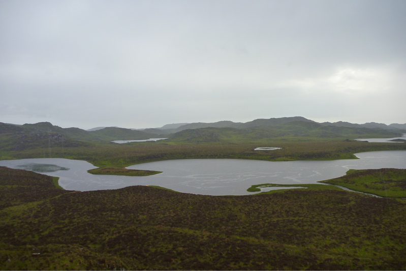
Below: almost the entire route seen from Cul Mor summit, looking southwest and west. Stac and Summer Isles in the distance.