Category Archives: Travel Reports

Travelling with packboats

Grabner kayaking in Sardinia

by Gael A

IMGP6031

Last summer I spent 3 weeks in Sardinia with my wife. We were camped near Santa Maria Navarrese, a quiet seaside resort and a strategic location from which to explore the splendid and relatively untouched Ogliastra region, located on the central eastern coast of the island. There the mountains rise to over 1000m within 20 km of the shore, hence our plan to combine a beach holiday with hiking and paddling activities. Real sportsmen would add climbing and mountain biking as Peter Harold and his Lemon House guests do. Me, I’d rather add enjoying Sardinian food and wine to the program instead.

sar1

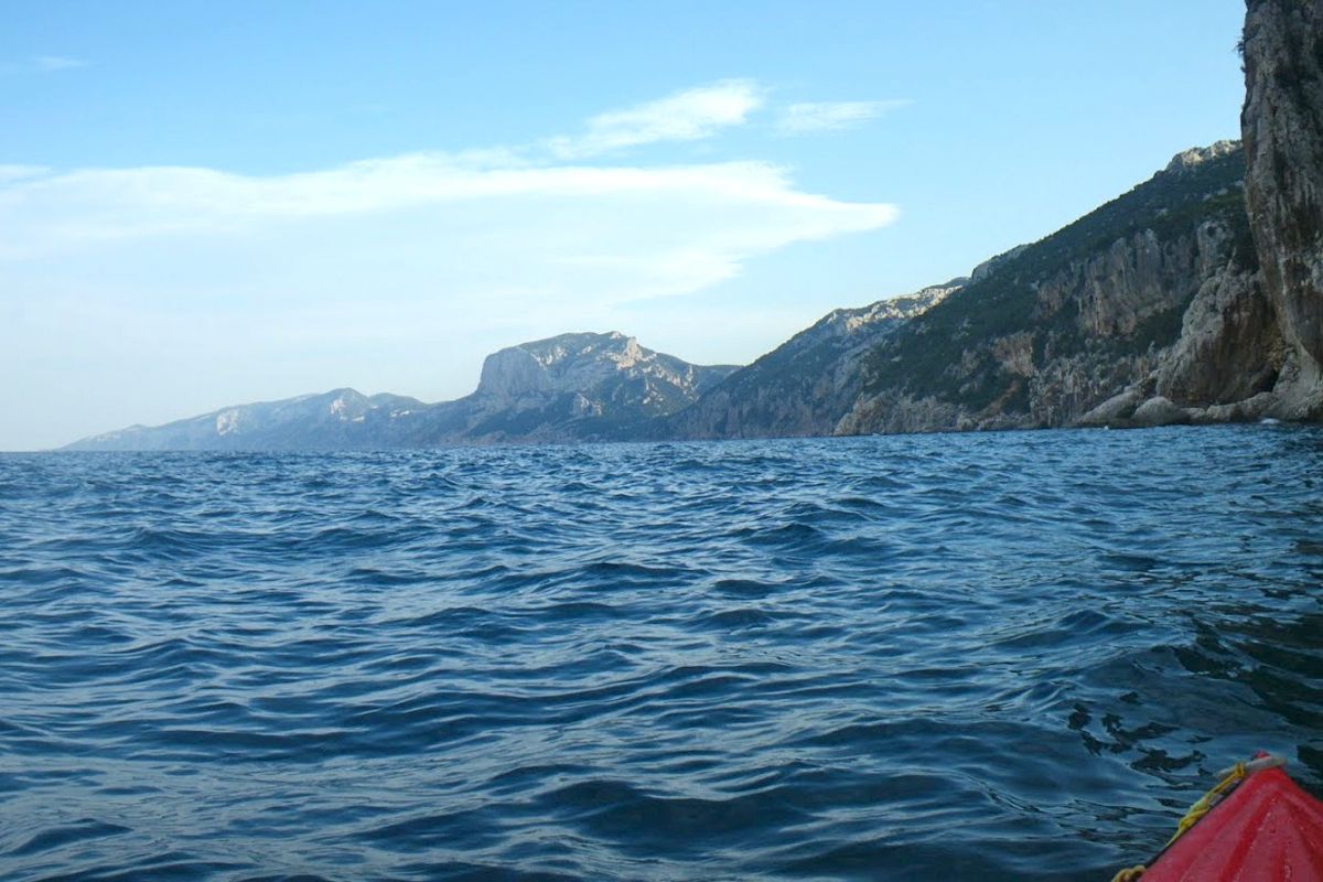
I brought my revived Grabner H2 IK. It took us along the astounding coastline to tiny coves that can be reached only by sea. Such fabulous places are found from 20 minutes to 2 hours of relaxed paddling, stopping en route to have a refreshing swim in turquoise water or to stretch one’s legs on a short walk inland into the fragrant Mediterranean macchia.

sarcovmap

From Santa Maria Navarrese (aka: SMN) the coast up to north is mostly rugged rock wall all the way to Cala Luna, punctuated by caves, coves and superb white sand beaches tucked under towering cliffs. No easy escape routes leave from those beaches; it would take a few hours staggering along deep codulas (gorges) and up steep and craggy paths before reaching the plateau over the coastal ridge. Although rugged and remote, it’s not real wilderness in summer, because this stretch of coast is travelled all day long by dozens of tour boats and hundreds of rental “gommoni” (Zodiac-style, hard-bottom RIBs) sailing from Arbatax, SMN or Cala Gonone (the next resort north of SMN). Should a boater get stranded he could easily hitch a lift back to port.
Two beaches; Cala Sisine and Cala Luna have tourist facilities in summer such as bar, restaurant, toilets, with employees staying overnight. Sometimes whole families, stay overnight as well. In Cala Luna the restaurant is well known to help ‘naufraghi‘ (castaways); ill-prepared or unintentional overnighters. Sea traffic starts fading from 5pm with the beaches getting covered in shade, and disappears from 6pm to 8am, as often does the sea breeze too, so late afternoon and early morning are definitely the best paddling times. A paddler or hiker traveling this area offseason would be on his own.
IMGP6025
sarseater

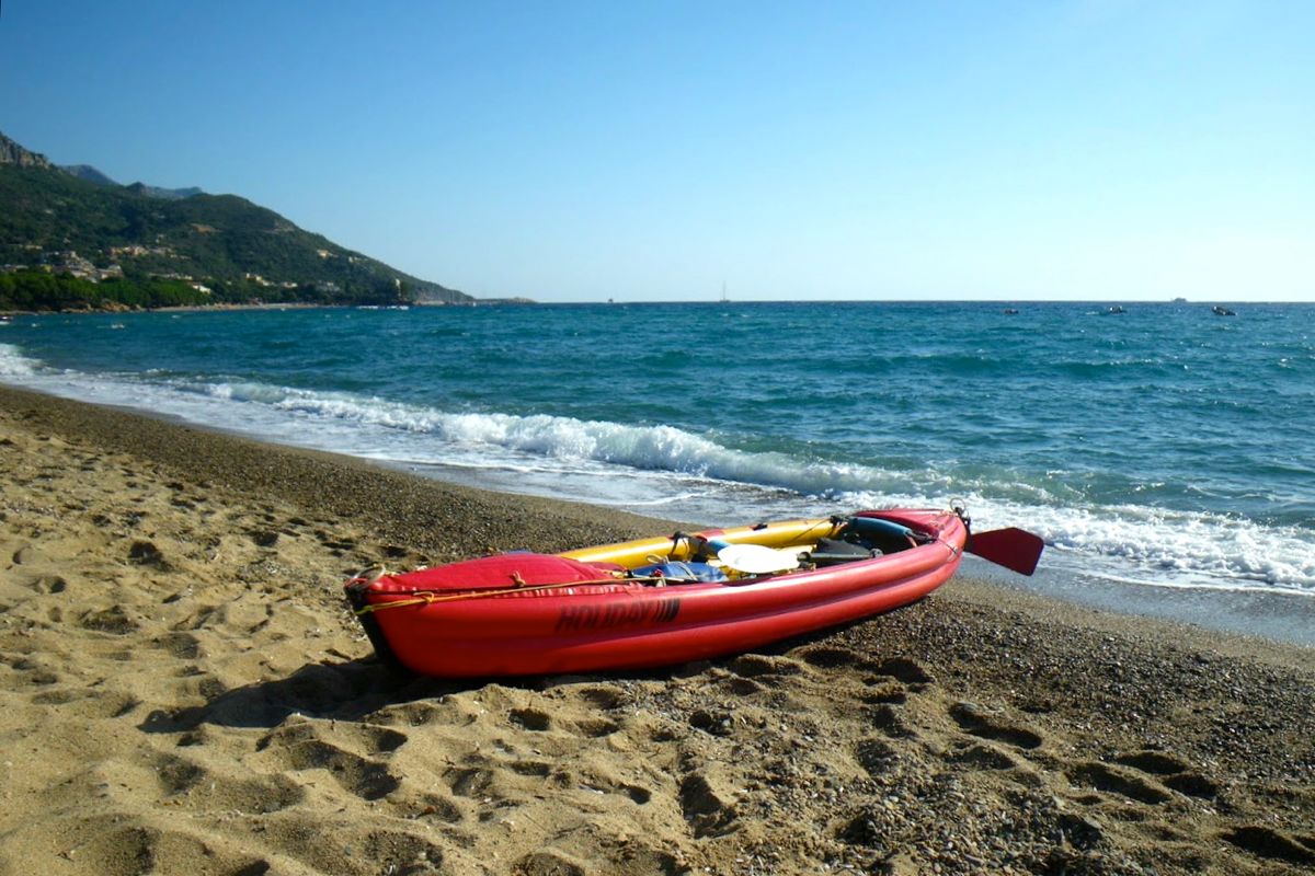
So one morning I left for a 2-day trip to Cala Luna and back along the Ogliastra coast. I launched my loaded Grabner in the shore break beating on the Tancau beach.
I jumped awkwardly on board, intending to shove off quickly and not to be dumped back. Unfortunately, my inelegant butt crash-landed right on the backrest. It collapsed under my weight with a sorry crack.
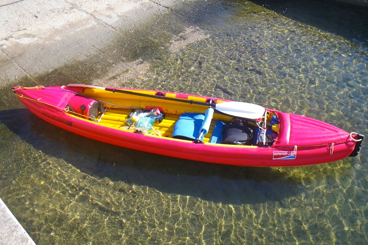
I paddled on to the nearby Santa-Maria Navarrese marina, barely controlling my course in the 2-foot chop raised by the F3 Grecale (NE wind), then pulled ashore on the slipway for repair.
IMGP6028


I found no immediate solution to fix the broken backrest bar. The middle backrest was intact but it was too long to fit in the stern backrest position. However, it could be fitted between the new brackets recently added by Grabner. These circumstances forced me to test the solo paddling position which requires only one backrest. I shifted the middle backrest and removed the remnants of the stern one.
Then there was the footrest problem to solve. The footrest is a 2-part aluminum bar. One part is mostly a tube while the other is a plain bar of a smaller diameter which can slide into the tube, so the total length adjusts automatically to the width of the boat for different positions of the footrest. The bent ends of the footrest are tucked into fittings glued on each side of the cockpit. Because of the bent ends the footrest must be taken apart to connect the rudder pedals on it. The crude aluminum material gets corroded quickly in seawater. To prevent it seizing up, I used to spray WD-40 in the tube. Many years ago I once forgot to take apart the footrest and after a few days, it got seized up for good. And now it was too long to fit in the forward tapered half of the kayak. It would be a no-rudder/loose-footrest trip then.
IMGP6029


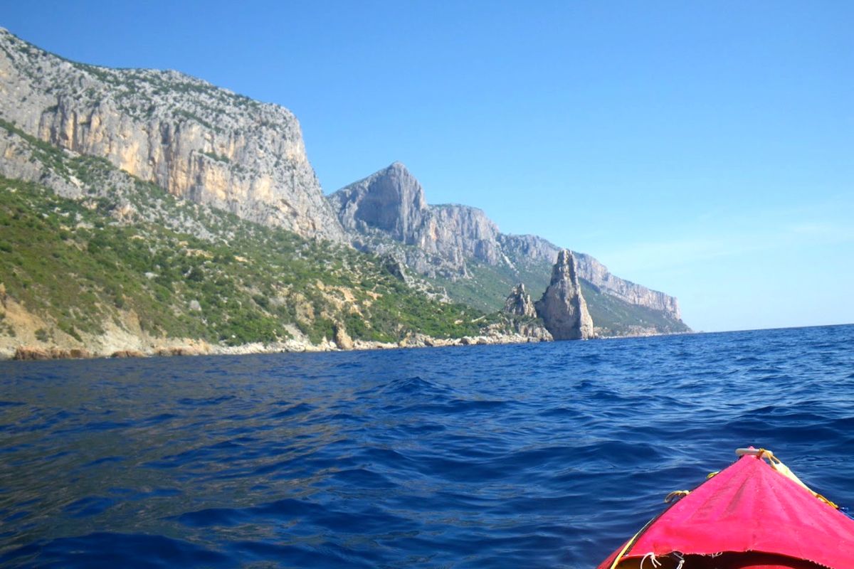
The Grecale abated as I left SMN and headed to Pedra Longa, a conspicuous rock steeple 128m high which stands out of the shoreline. From Pedra Longa I carried on along the boulder beach of Cala Forrola, under the precipitous cliff face of Punta Giradili. In good sea conditions when there is no shore break it’s possible to land safely onto those round smooth boulders. There’s a nice resting spot nearby, with a spring and a large flat slab to lay on for a nap under an overhanging rose-bay tree providing shade from the scorching sun.
sarcaver


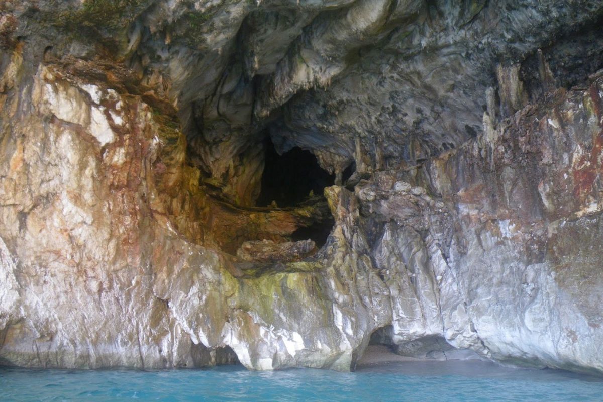
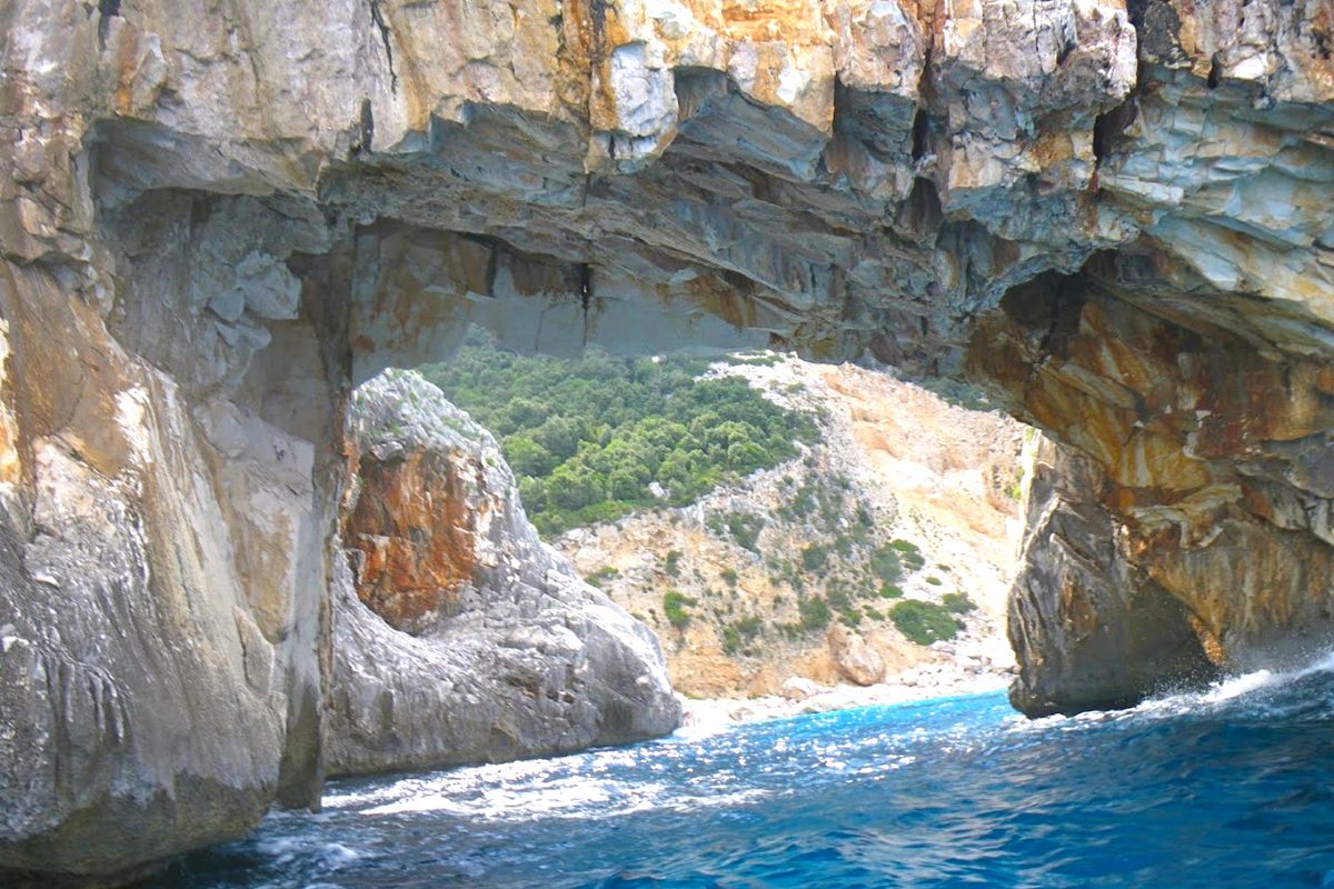
Passed Punta del Pecoraro the coast becomes a vertical wall with nowhere to pull ashore for a significant distance. The only dents in the cliff were the Grotta dei Colombi (cave of the doves) and a sea cave close to the Capo Monte Santu. An opening in the cliff vertical face loomed right under this impressive headland, the entrance of Porto Pedrosu (Grouse Cove).
Porto Pedrosu is a fairly narrow inlet, narrowing even further as it goes deeper inland. It ends on a boulder choked beach, 3 metres wide. The gommoni are too large to get there; they stay on anchor near the entrance of this mini fjord and the crews swim ashore. I filled my net anchor with large pebbles, tied it to my bungee leash and put it on the edge of the foredeck. I pushed my boat out to sea with the painter in my hand. I give it a yank when the kayak was at the right distance from shore and the anchor fell. I pulled the boat back a bit and tied the painter around a rock. The bungee holds the mooring lines tight provided the anchor is heavy enough for not tripping on the bottom. I had the place all to myself for a quick lunch and a short siesta. After leaving Porto Pedrosu I visited Porto Quau (Quail Cove), the next inlet, also like a gash in the cliff, without any landing spot as it is walled in on all sides by plumb faces or piles of tumbled large boulders.
IMGP6035

IMGP6037

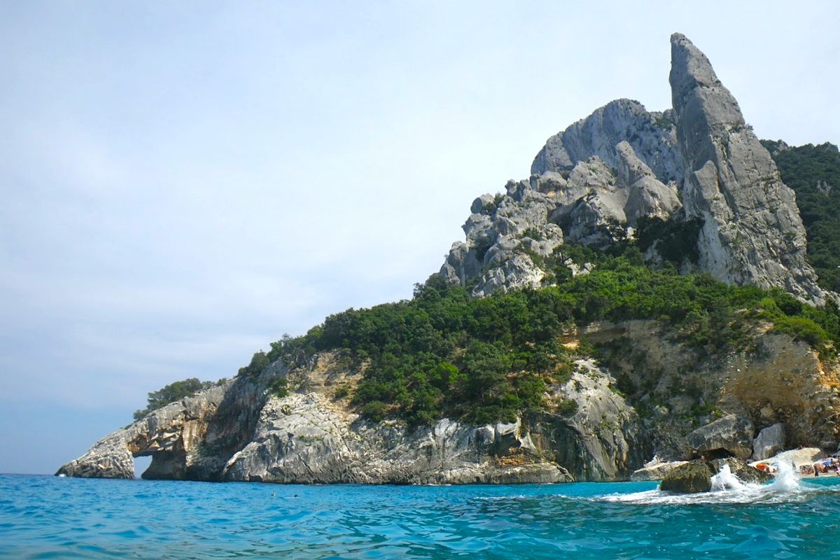
I carried on around the sheer 250-m high Punta Iltiera keeping some distance from the shore to stay away from the uncomfortable rebounding chop. About 3 kilometers later the arch of Cala Goloritze came in sight. I went through the arch, which I had not expected as it usually swarms with swimmers.
The otherwise lovely beach was still crowded with sun worshippers. Unlike other beaches further north, this place can be accessed after a relatively short (1h35) and easy (530m descent) walk from the Golgo plateau above. Italian families get there carrying large umbrellas, beach chairs, beach toys, ice chests and picnic supplies to spend the day swimming, tanning, playing, eating and making an incredible din. The return trudge up the slope with the panting and grunting hoards is quite an experience, like being part of a commedia all’italiana movie. Besides the arch, Goloritzé is also famed for its 127-metre long needle rock, the Aguglia, ‘a sought-after destination for free-climbers’ say the guidebooks. From the sea it looks smaller because all the place is dwarfed by the towering mass of 466-m Punta Salinas.

The next renowned and highly advertised place is Cala Mariolu, a postcard-like white sand crystal water beach. It’s not exactly sand but tiny rounded gravel. By 6pm most boats were gone. I had noticed earlier that this time was the rush hour for tourist boats and rental boats as well.  I had seen them almost everyday return at full speed to SMN or Arbatax to get there by the 6pm cut-off.
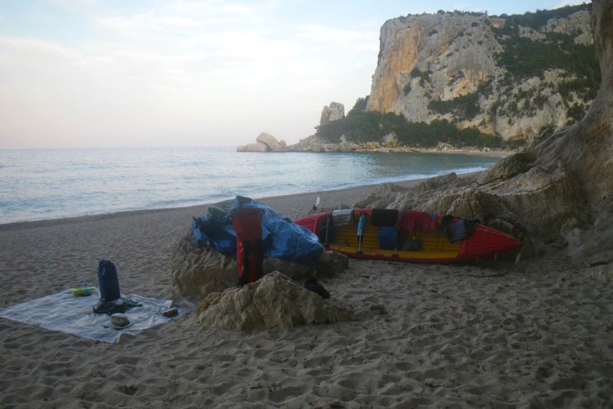
I passed Cala Biriola while the last batch of people was being evacuated. Groups of visitors are landed on different beaches and for a limited time in order to avoid too many people cramming the same beach at the same time. I was alone on the sea and Capo Monte Santu looked far behind by then. I reached Cala Luna by 7pm. It wasn’t dark but the sun had disappeared behind the mountains. I pulled ashore in front of the large caves located on the north end of the beach.
IMGP6045


The beach edge was very steep with the typical dumping wave breaking right on it. I looked for the smoothest landing place and stood by for a while before paddling in, timing waves sets. I caught the back of a wave but it did not carry me high enough to reach the flatter ground and I landed on the steep slope. The next wave crashed in, half filling the cockpit, as I jumped out of the boat and grabbed the bow handle – easily done with an open IK. I hauled the boat turned bathtub up the slope and carried the gear near the entrance of a cave. Setting camp was quite simple: laying an old space blanket as a groundsheet on the sand. In the very unlikely case of rain coming, I could go inside one of the caves or retreat into the codula and rig my tarp between shrubs.
Dinner was instant polenta, pecorino cheese, fruit, all washed down with some Ichnusa beer. The issue with polenta – a bit like couscous – is that it has no taste. Simply adding a generous spoonful of butter, bits of cheese and some spices make it delicious (there might be more sophisticated ways to enhance polenta though).
I was a bit tired and I fell asleep shortly after dark under an extraordinary starry sky, sliced now and then by the seasonal shooting stars. Next morning I woke up at dawn and watched the sunrise on the placid waters. The temperature was relatively cool and I stayed in my sleeping bag until 6.30. The obvious upside of outdoors living in warm and dry weather is how little equipment you need. My heaviest pieces of gear were my 10-liter water bag, and a pack of beer. In no time after breakfast I packed up and brought gear and boat to water.
Again I launched my kayak at the wrong time. I thought there was a lull between two bigger wave sets, but I was hit by one before I could jump on board and push-off, right in the dumping zone, at the bottom of the beach steep slope. The boat got instantaneously swamped and severely tossed back toward the beach, pinned down by the waves in the impact zone. Most pieces of gear floated in or around, each held close by its respective tether. The H2 was now a heavy piece of jetsam that I struggled to haul on higher ground.
IMGP6059


I bailed the water, secured the gear under tighter bungees and shortened tethers and timed the wave sets more accurately. I put to water again, at the right moment this time. ‘Nothing was lost, only a bit of pride’ as said Audrey Sutherland in Paddling North.
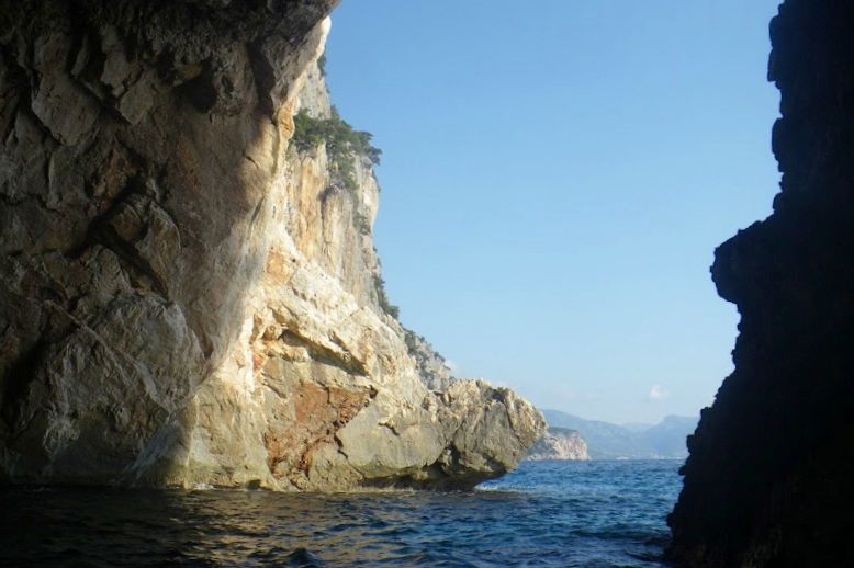
By 8am I was still alone on the water, save for one or two gommoni heading south. I passed Cala Sisine and Cala Biriola, still empty of visitors. The sea was much calmer than the day before, and I could hug the coast and visit many caves and crags along my way southward. At 10.30 the boat traffic was picking up and I stopped at Cala Mudarolu with a deep cave at the end of this lovely cove.
The entrance is barred by a gravel beach. There is water inside, brought by the gales when the sea reaches over the tombolo. Unfortunately, the surface of the pond inside the cave is littered with plastic bottles, soda cans and all sorts of trash. It was 11 and the boat traffic was now in full swing. Fortunately, most boaters hop from one beach to the next, overlooking the rocky shore in between.
I passed the beach area of Cala Mariolu where a large fleet of motorboats was moored beyond the line of buoys marking the 300 meters limit from the shore. At noon the traffic stopped: pranzo time is sacred in this heavenly country. over the next 2 hours all I could hear were the gulls and the water lapping the cliffs, instead of roaring gomo engines.
I gave up stopping at Cala Goloritze, scared off by the crowd on the beach and in the water. Instead, I paddled on to Porto Pedrosu for a quiet lunch stop in the shadow of some Holm oak.
Now it was time to fight the regular SE afternoon breeze around Capo Monte Santu, but the lumpy chop of the day before had turned to a gentle ripple. From half a mile offshore I stared at the stupendous ruggedness of the Supramonte, while paddling my way back to SMN. No polenta tonight, but a hearty 7-course seafood dinner at the Pescheria, a nice restaurant on the shore of the Tortoli lagoon where they even offer to carry you home.
Fitzroy Packrafting Australia video story

Fitzroy article in The Paddler magazine
My four videos from last year’s trip – about 45 mins all up.
To read a longer version, start here.

You’ll find Jeff’s version of the same trip in 5 parts (about an hour) right here.

Urban Packrafting: Kebab Death Weir Tunnel

See also: Wandle: An Urban Packrafting Nightmare
Packrafting London’s Regents Canal
Urban Kayaking: East London

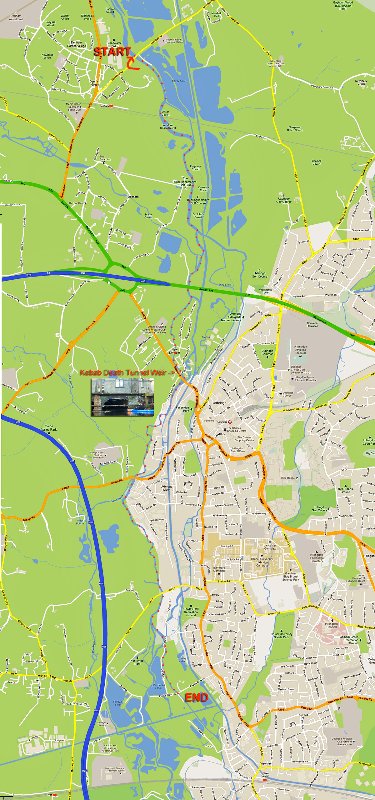
The other day a friend relatively new to yaking invited me and a mate to paddle a river near her home. The Colne runs between the edge of Greater London and the M25 motorway just a stone’s throw from Heathrow airport.

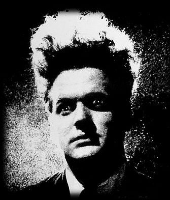
Looking at a map (far below) and more so at a sat image, it’s hard to distinguish the actual course of the Colne among the many waterways, reservoirs, overgrowths and the Grand Union canal which all fill this part of west London’s perimeter, but Lois had already recce’d a route which included half a dozen fun weirs and other challenges along the way –  all up a run of around six miles. Chief among these tests was what must surely be an urban paddler’s nightmare; a weir drop inside a low tunnel that passed under a kebab shop and which we dubbed The Kebab Death Tunnel Weir (the word order is interchangeable). The thought of being spun in a dank, sunless hydraulic or jammed against a rusting grate as clammy kebab fat dripped onto your forehead from cracks in the overhead brickwork was surely the makings of a deleted scene from David Lynch’s Eraserhead.

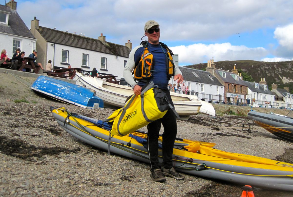
All that was far from our thoughts as we bundled over a bridge parapet and inflated Lois’ Sunny IK which Robin was borrowing. Lois was using her newish hardshell Dagger and I was in my Yak packraft. Lois quite rightly rationalised her controversial IK betrayal by explaining that as she lived on a canal she just wanted a boat to hop into anytime (her Gumos having sprung slow leaks). I can relate to that though I wouldn’t go as far as actually buying a plastic coffin.
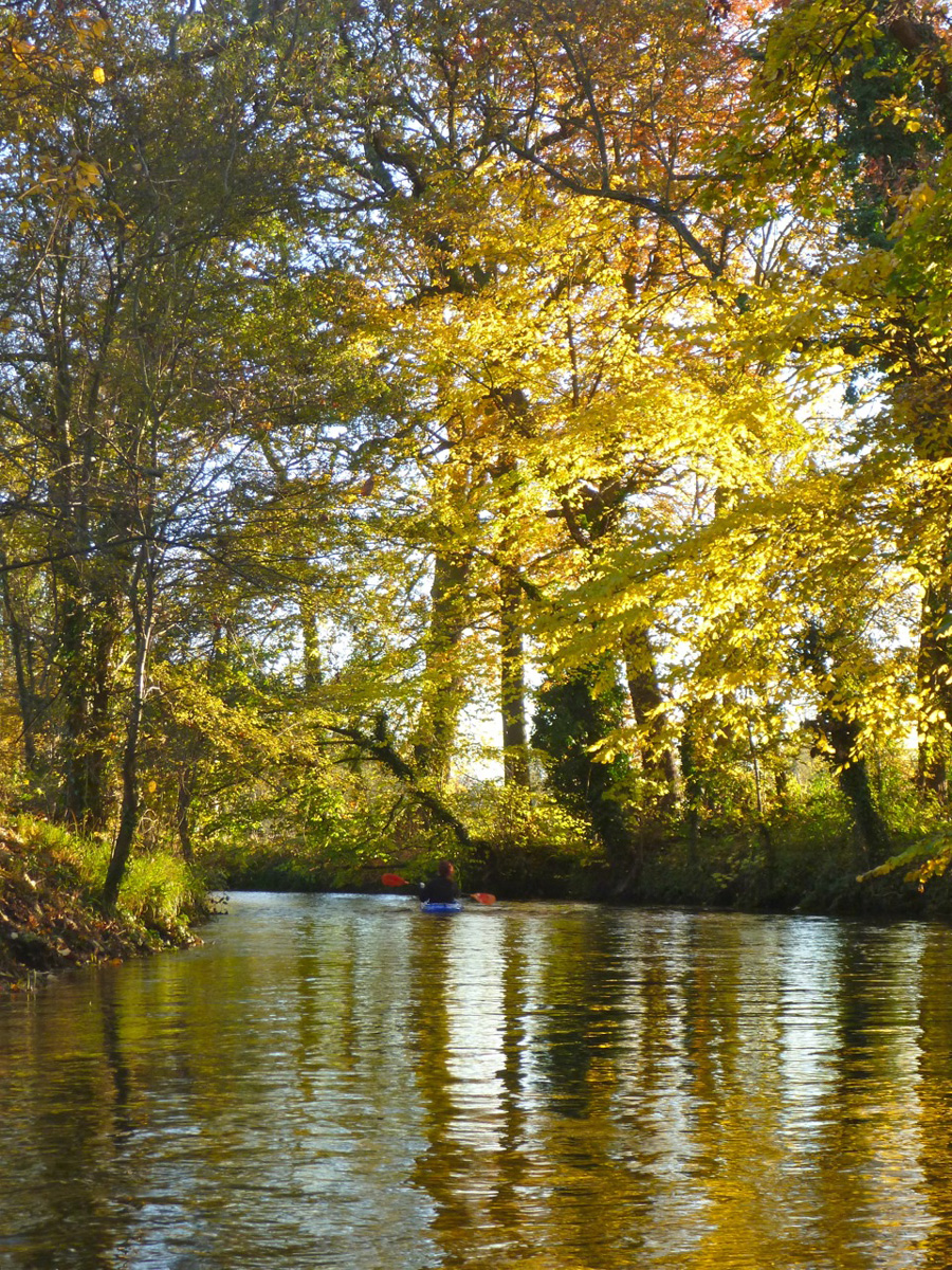
We swooshed off under the bridge and downstream on a lovely autumn’s day, along what transpired to actually be a proper river with a kosher current, far from my expectations of a concrete lined culvert awash with urban detritus and pestilent scum. We passed under a huge arc of brickwork supporting the westbound mainline railway and soon sidled up alongside the Grand Union canal. Not that we could see it. Even the OS map gets quite confusing, marking rivers or other waterways passing across lakes and wetland reserves. But once on the river the way ahead was usually obvious.

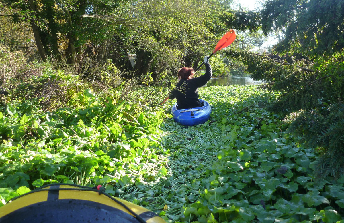
At one point what looked like thick mat of giant watercress carpeted the river bank to bank (actually pennywort, a very troublesome weed I am informed). Up ahead Lois’ Dagger ploughed into the vegetation (left) which amazingly proved to be paddleable, although with my wide, flat-hulled ‘packa I found reaching out and tugging on the floating wortrug worked best.

Soon we came to our first weir, a drop of a foot or so but where we did the right thing and hopped out to check we weren’t tipping over onto some gnarly boat spike. All clear so Lois slid over effortlessly into some shallows, then Robin beached himself inelegantly on the rim in the possibly under-inflated Solar. Knowing this, I sped the Yak up to warp speed and scrapped over with a splash.

More riverine bliss ensued with barely a crisp packet to sully our glide. Delicate foot bridges led to cosy cottages. Another double weir looked deadly from above but recce’d from below was no drama. No having yet recognised the benefits of spray skirts, Lois’ Dagger was taking a cockpitful on some of these weir drops. The Solar too scooped up some swill, but this was the first occasion where I zipped on the Alpacka’s spray skirt – mostly to keep my legs warm but also proving it did what it was supposed to.

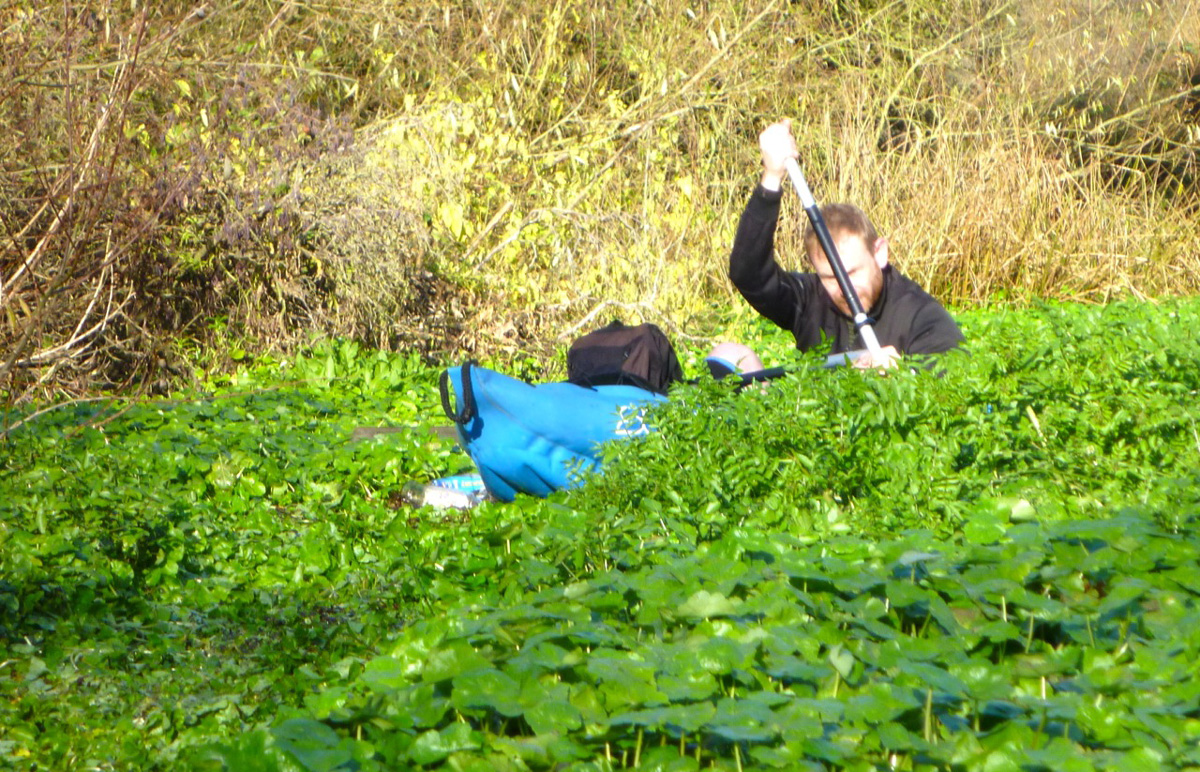
Up ahead, another clot of creswort choked the channel, but this had got thick enough to catch some crap so we hauled out stinky twigs and other rancid mush before hacking our way in. The rigid hardshell was best; my Alpacka (above) while broad was at least light, while the Gumboat put up a fight and Robin split his paddle all the better to dig his way through (right). Another weir with a drop of a couple of feet gave Lois a fresh rinse as we neared the outer London suburb of Uxbridge.

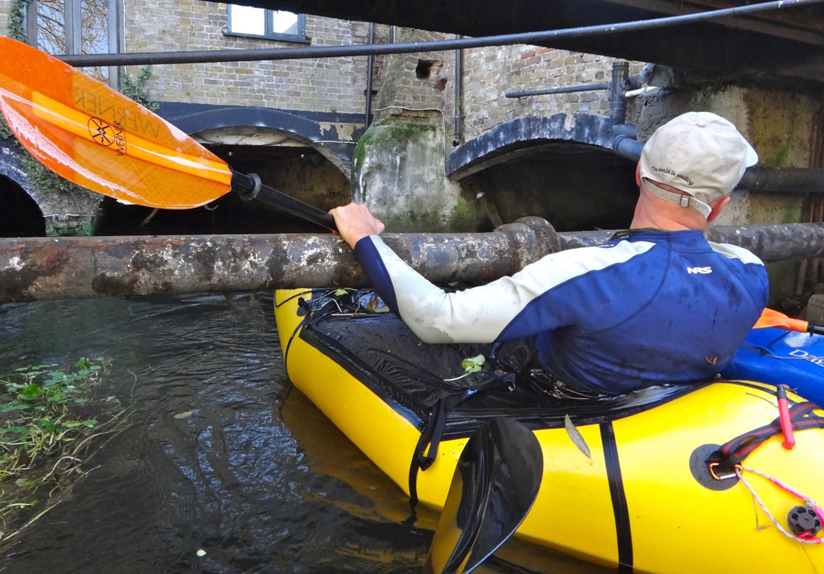
Bankside trees gave way to razor-topped railings protecting the back end of industrial units and things turned decidedly less serene as we neared the gaping twin maws of the Death Tunnel. It burrowed under a parade of shops, the pride of which was unquestionably the broad, handsome frontage of the Burger Kebab Galaxy restaurant.

Two limbo-low bridges lead to an even lower rusty sewer pipe spanning the canal, and up ahead two arches reached into the watery gloom like a farmer’s rubber glove and where the rank stench of congealed doner fat choked the air. A chink of light marked the far end of the 70-foot tunnel (left) where the roof – strung with electrical piping, rotting rafters and mummified bats – pressed down to just a couple of feet right over the edge of the drop. Lois said last time the water was higher and they couldn’t even see the end, but they’d edged in anyway, slid over and survived.

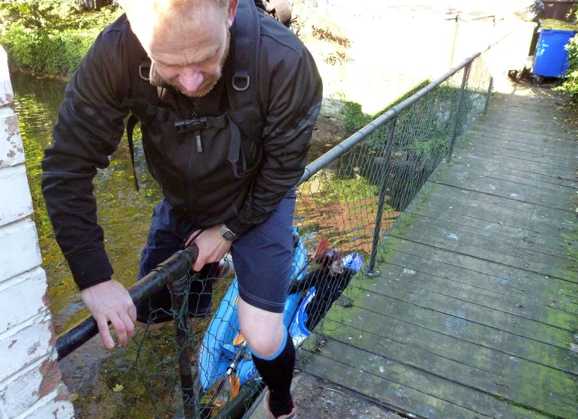
Even then, you never know when a burned-out scooter or half a tree might be poised to spoil your weir and anyway, Lois was sure this weir was higher than anything we’d done so far. So Robin and I clambered up onto the footbridge (left), walked round the far side and waded up into the tunnel as far as we could against the current. With the help of my camera’s flash I was able to get far enough in to see that the three-foot weir was actually a narrow 45° slide of about 3 feet, not a straight drop. Much less risky.

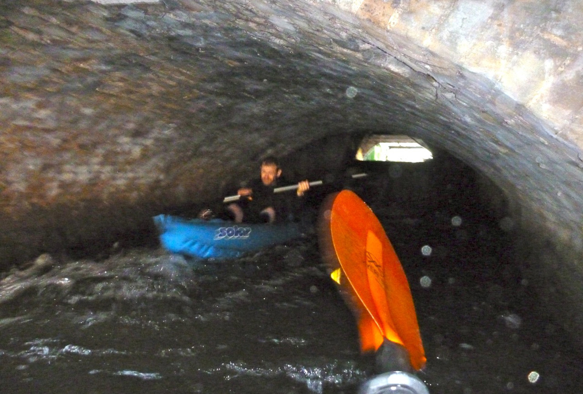
Now reassured that I wouldn’t be pitched out of the packraft to smack, face-first into to a span of festering, greasy brickwork, back at the boat I squeezed myself under the sewer pipe (right) and let the speeding current draw me in, making sure to keep well away from a broad side tunnel which led off to the right and didn’t look like it had a happy ending. I didn’t want to end up being squeezed out of someone’s kitchen tap like rubber-boned Janus Stark. In the main tunnel, the roof bore down and I stowed the paddle as I tipped down the chute, getting shoved against the right wall as I ran out towards the light like a near-death experience.

Lois came down next (faintly visible above left) and also got pushed right at the base of the chute and semi capsized.

Kebab Death Horror!

Her paddle floated down towards me but before I could grab it the eddy caught it and floated it back up towards the chute. Meanwhile, soggy arsed Lois hopped out and dragged her waterlogged Dagger into the piercing daylight. Robin came down next (left), got pushed over but kept it together. It seems the tunnel weir had set up a long, thin anti-clockwise circulant or eddy which came upstream and looped back down just below the chute and explained why we’d all got pushed into the right wall as we came off the slide.

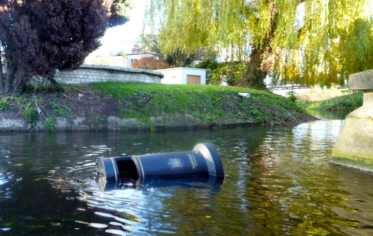
But we’d survived the KWDT and soon cruised past a striking municipal bronze statue depicting a trio of naked nymphs grappling over a giant Christmas pudding (left), a scene plucked from the otherwise unexceptional Lost Chronicles of Uxenbride discovered not far from Kebab Galaxy in 1892. And here at last! A plucky South Bucks District Council dustbin uprooted from it’s roadside vigil and flung into the Colne by some beer-crazed revellers high on nitrous oxide. Now that’s what you call urban packboating!
There was more to come. What is a paddle in merry England without getting a bollocking from a vexed bankside angler. We’d seen a few upstream who’d mostly ignored us (I don’t waste greetings on anglers anymore), but as Robin and I rounded a bend following another weirlette, some grumpy git wearing rubber up to his neck let us know his feelings, concluding with:
‘You coming back?’ (demonstrating his lack of understanding about how kayaks and rivers interact).
‘No sirree‘
‘Good!’

His mate just down the way was more civil and explained ‘there’s no navigation on this beat, it’s in the agreement…’ pointing to a sign, rather ineffectively positioned downstream that merely said Private Fishing or some such. I didn’t know the paddling status of the Colne and maybe Lois didn’t either, but a quick Google later on showed up threads on the SotP and ukrivers that indeed suggested the Colne hereabouts had been leased by a bankside golf club to Uxbridge Anglers Club, and their £80 membership fee helped entitle them to exclude paddlers on parts of the Colne. What about the Magna Carta and all that? Which parts are off-limits is hard to determine unless there is a blanket paddling ban.

We certainly saw no ‘ No Canoeing’ signs so it all left a sour taste for a while, but that’s the way paddling is in England thanks to Edward the 1st’s short-sighted bequest to his loyal noblemen (or so the story goes).

The last mile or two down to Packet Boat Lane passed without rancour as the late autumn sun seeped through the falling leaves. The current was speeding along by now and negotiating a squeeze around a fallen tree and some brambles, Robin managed to low side the unskeged Gumotex at exactly the point where Lois had tipped in on a previous occasion. Luckily he was also in shorts and hopped back in the Solar. Somewhere here there was a blockage of fallen trees and flotsam which we couldn’t paddle through and so made our only short portage.
‘Take out, rrrrrrriver left!’ yelled Lois, scarring the crows into the flight path of several 747s lowering their landing gear. Incredibly, Packet Boat Lane (near Iver) is actually a drivable ford across the Colne, rated at no less than five stars by the peer-reviewed wetroads.co.uk.

Once back at Lois’ cosy houseboat Robin couldn’t resist nipping back and having a crack at the car-swallowing ford on his well-travelled trail bike. I stood in the middle with water halfway up my thighs and filmed the action, thinking, ‘rather you than me, mate – it’s a long push back to Crawley’. Sure enough, before he got even halfway his Yamaha spluttered to a stop and we pushed it back like a couple of spotty teenagers trying out their first stolen bike.
Back on the barge the throbbing woodburner and a hot bowl of soup soon thawed our chilled limbs as we tried to analyse what the heck was wrong with Robin’s moto, other than acknowledging an engine can’t run on water like a kayak can. We left Robin to it, I rolled up my Alpacka and rode back home across London. 
Thanks to Lois P for organising a great day out.

Summer Isles Gallery with kayaks

A sixty-six-photo summary of our summer in the Summer Isles with a little bit of Orkney.
See also: Summer Isles Kayaking Guide

IK&P Picture of the Week

Le Grand Gonflateur himself, Gael A sent me this image to illustrate something. Its composition and colouring was so magical I’m compelled to elevate it to the IK&P Picture of the Week.
Captured in 2005, the location is the River Epte, a tributary of the Seine in Normandy and site of Monet’s no less idyllic 1899 painting, ‘Waterlilly Pond’ (left). It looks like Gael is sliding down a burst canal bank on his H2, while his trusty compadre observers from the reassuringly stable platform of a Mk1 Sunny gumboat. Behind him a sign warns ‘Access Interdite – Danger [sauf gonflards] and nearby a docile cow nuzzles the trunk of an oak tree quivering in its prime.
A serene snapshot of rubber boating bliss.

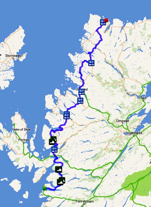
Packrafting around Suilven mountain

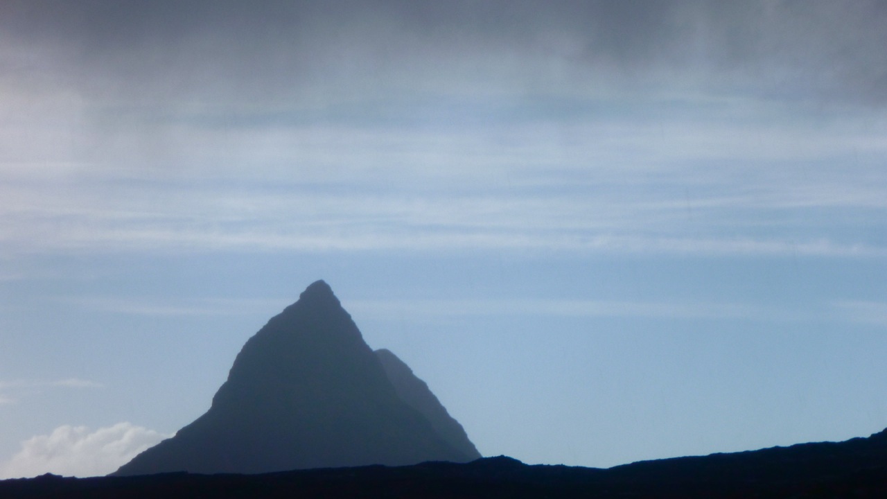
I’ve already done a couple of great packrafting excursions around the charismatic mass of Suilven mountain (left, viewed from the east). Last year we did a ‘triathlon’ loop up one side and down the other using bikes, feet and two-up in the Yak; and before that I did an overnighter from Loch Sion to have a look around. That second link has an intro to the region you may like to read.

So you’d think I’d know the local pack-potential well, but looking yet again at the map, I clocked an interesting if lengthy day out, packrafting around Suilven. I could walk east out of Inverkirkaig past the Falls to Fionn Loch, then paddle several miles of continuous water south of the mountain to cross a headland and then another short loch. From there I’d turn back passing a couple more lochs to Lochinver back on the coast. That was around 23 miles, plus another 3 or 4 back to the motorbike at Inverkirkaig. An eleven hour day for sure so unusually, I packed a torch.


The day of least bad weather arrived (today’s grim weather, right): overcast and 12°C with winds building up to 25mph bringing showers and afternoon sunshine. It would have to do; the rest of the week was forecast as much worse and at least I’d have backwinds paddling out.

lochanss

Should they become hard to handle I knew I could hop ashore – that’s the great thing about packrating. But I also knew that cross country hereabouts is usually a gnarly combination of boot-sucking mires, moss-clad boulders and ankle-snapping tussocks of clump grass. Unless you’re a ground slug or sport a rack of antlers, when off piste in the trackless wilds of the far northwest, you’re often better off in a boat.

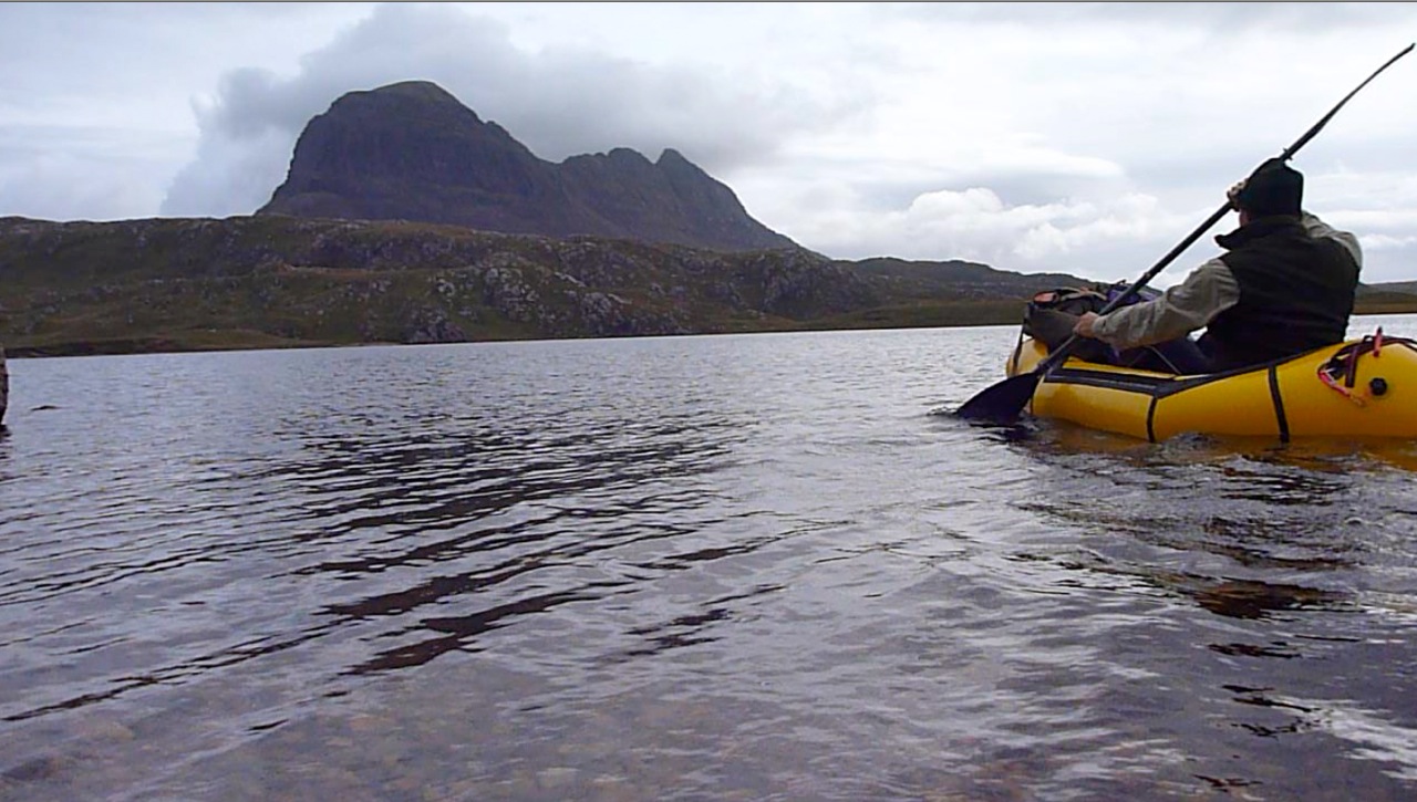
Nine 15 and I was out of Inverkirkaig with two fat sandwiches, two bananas and a cup. The thickly wooded valley with it’s not quite paddle-worthy river rose up to the 60-foot Falls of Kirkaig, but with filming and whatnot, it wasn’t till 11am that I paddled onto Fionn Loch (left) under a ceiling of thick cloud on the verge of incontinence. The rounded west prow of Suilven loomed above, trailing its cone-like tail like the giant goldfish in the Singing Ringing Tree.

I was reversing the section we paddled last year on the triathlon, and at a narrow point passed some small standing waves indicating a current flowing back to the river. Hmm, strange I thought. Approaching the mile-long narrows which maps call Uidh Fhearna, it was a stage which I’d somehow got into my head flowed east into Loch Veyatie, based partly on this picture I took last year. Turning south round a reedy bend and fighting what I thought was just the headwind, I took another turn and, like some astonished Victorian explorer, found the water flowing west, right at me. Of course it does. At the other end Loch Veyatie, Cam Loch drops through a series of waterfalls, and if Fionn here did the same, where did Veyatie drain – down some tectonic plug hole? There would be no Fellowship of the Royal Geographical Society for me this year.


Even with a backwind, there was no paddling up this Uidh (left), though I’ve read of hardcore canoeists poling it. So I  unplugged the Yak and set off along the north bank to the far end where the Uidh opened out onto Loch Veyatie and lost its current. With no free ride to help outrun the afternoon’s predicted winds, my schedule slipped away.
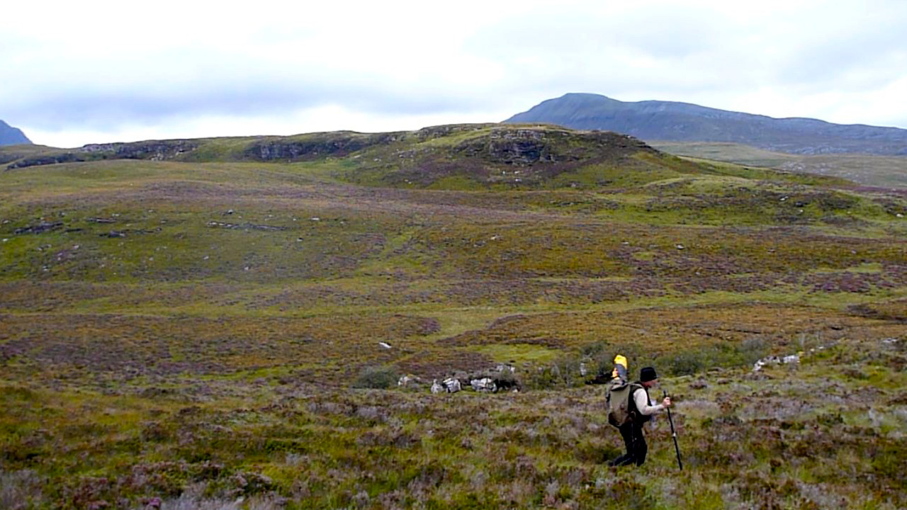
As the OS map shows initially, there’s a path as far as a stream a mile away. Who knows why, maybe that’s where folk fish, but of course the path itself becomes a mini river. I should have worn my long Seal Skin socks today, the short ones were already sodden but they still kept my feet warm. After fording the river I decided to continue cross country until it became too hard. That took less than 20 minutes by which time I’d already stumbled twice and, while negotiating one steep bank, actually feel a few feet into the loch! Luckily, no damage done so just up ahead I set my sites on a beach to deploy the raft.
It was now 1pm and with that walk covered at around 1.5mph and getting slower; better to get on the water. But first, for amusement purposes I filmed myself from unrolling the Yak to paddling away. It took 8 minutes, something that you’ll see below is made a little less boring to watch by speeding up fifteen times.

An exposed hour’s paddle down Loch Veyatie ensued. I turned out of the cove into the wind, hurrying for the south shore to get into the southwesterly’s lee until the next narrow point where I’d cross back to the windier north side to line up for my take-out. As I passed across the mouth of the sand-spit inlet of Loch a Mhadail, gusts blasted out fetching up some whitecaps. It’s all in the mind of course, but I really don’t enjoy bobbing about alone, mid-loch and out of sight on a chilly September’s day without a drysuit or PFD. One good thing with the Animas backpack I was using for the first time was that like my UDB, it doubled as a reliable float bag. Although there was virtually nothing in it bar my lunch and a cag, that was the reason I sealed it full of air.


The overhead gloom and rising wind was eating up a lot of nervous energy, but that wind was also pushing me along at what turned out to be 3mph, more than double what I’d have managed staggering along the shore, and more direct too. Another reassuring surprise was spotting the buildings at Elphin on the A837 at the head of the Loch. I’d forgotten how close I’d be getting to the other end.
Paddling with the wind past the south shore, cascades ran off Cul Mor and scraggy patches of original woodland clung to the foreshore. I counted them off on the map as markers to my take-out, and with a dash over to the north side, that came up just as it looked on Google Earth last night. What a great WYSIWYG navigation aid GE is. Let Google harvest all my dreary browsing data to throw back at me as targeted ads. It’s a price worth paying for their sat mapping services.


It was only when I crawled out of the boat and stood still that I realised how strong the wind really was, roaring over the hills and bating down the grass. Even though it was less than a mile’s walk to the other side of Creagan Mor headland, there was no chance of leaving the Yak inflated. Instinctively I headed for higher ground, scattering some deer far ahead, but my route soon led to a cliff so I dropped back into the bog and tussock valley that brought me to Cam Loch’s shore. Here I felt I could relax sufficiently to eat something. My cup was MIA, out on the loch somewhere, so I scooped up a drink by hand.

One more loch to cross; easily done no matter how windy it’s become. Somewhere on the north side the map promised a path that led 12 miles back to Lochinver. All I had to do was slot myself onto it and ride it out for as long as it took. Whitecaps rolled passed me as I neared the north shore of Loch Cam, but what had had an edge of dread on Veyatie just an hour or two ago was becoming familiar and a bit of a laugh as the promised sun stuck its nose out for a sniff at the day. After airing down I soon hooked up with the stony trail, but found I was wavering a little, probably through not eating or drinking enough. It was now 3pm; six hours on the go but I’d only actually walked some 4 miles up to that point, so the legs had plenty left in them and there was drinking water running down the paths.

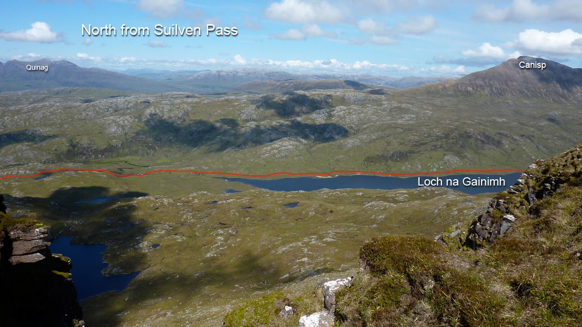
On occasions I’ve harboured thoughts of cycling this path from Lochinver to the A road, but from the state of it at this end I’d not get 10 feet. It followed a hard, white rim of exposed stony rubble that’s visible on a sat image, but I suppose was better than the mush to either side. Light grey and crystalline, I’ve since read it’s Lewisian gneiss or quartzite which gives the appearance of snow to some of the Assynt’s mountains like Canisp or Foinaven (see long image below). This whole region is marked with monoliths, the most striking of course being the remnant sandstone outliers like Stac or Suilven which resisted their brush with the glacier’s claw as it passed through, exposing the ancient base of lighter coloured gneiss.

I’ve kept missing the interesting ranger-led talks at Knockan Crag, just south of Elphin, he site of the Moine Thrust which literally turned geology on its head a century ago.

Kayaking Summer Isles to Ullapool (Incept K40)


Incept K40 Index Page
Weather data from Ardmair Point Campground
Summer Isles Guide

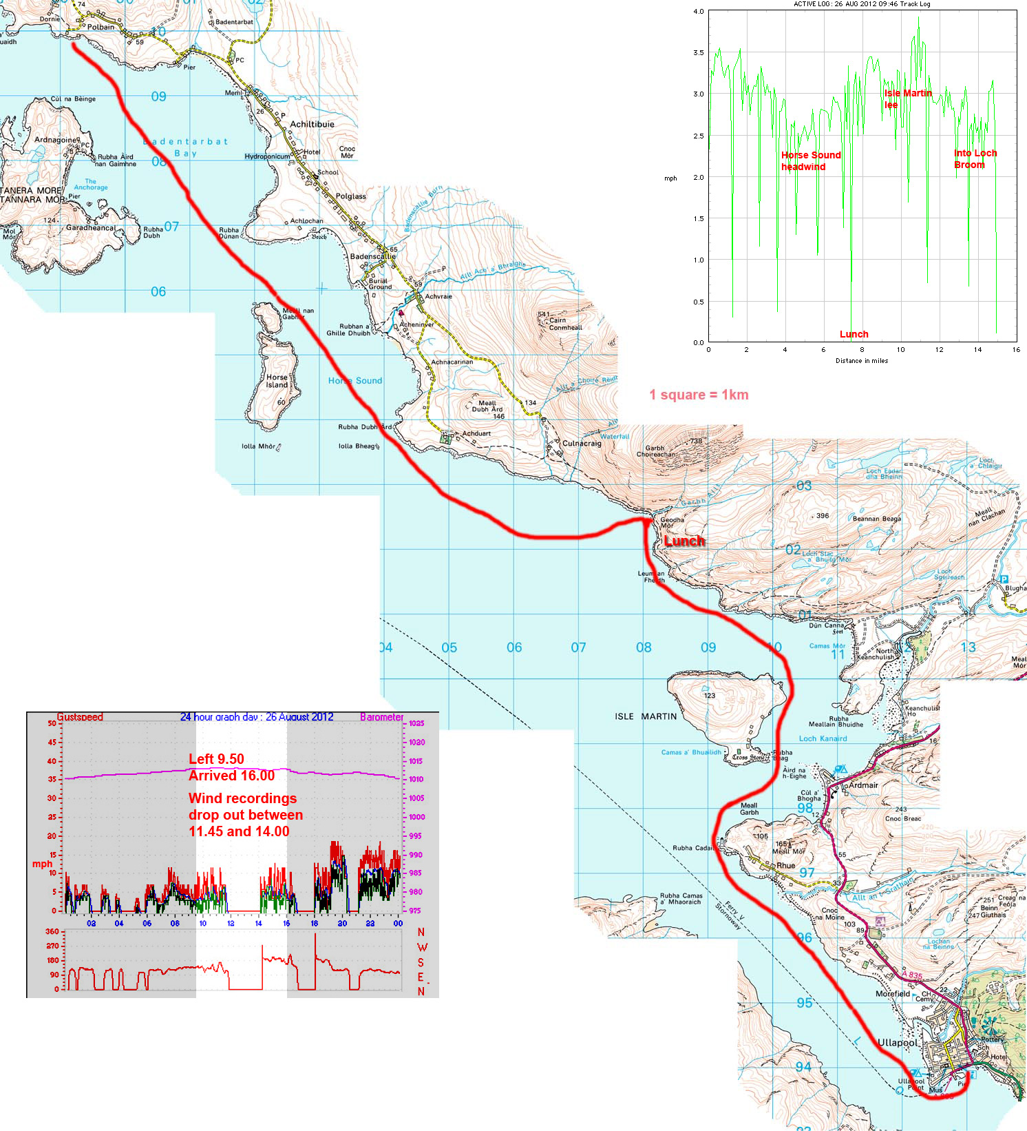
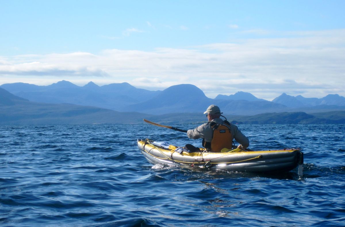
Right now the skies are slate grey while white horses gallop across the sound and the washing hangs horizontally. Ardmair just recorded 49mph. But as often happens up here, Sunday was forecasted as sunny with winds of just 4-5mph; a perfect day to paddle the 15-odd miles to Ullapool.
Come the morning the predictions had inched up to 6-7mph, still manageable. Even the three-metre tide was with us, turning as we set off from the awkwardly rocky shore below my place (below left) for a run that we figured would span the six hours until high water at Ullapool.

Six of seven mph winds don’t sound much, but coming right at us from the SSE it was enough to raise a chop of up to a foot over which my K40 slapped like a RIB. Jon’s Scorchio LV cut stealthily through the wavelets like a blacked-out  commando with a knife in his teeth. You got to hand it to these proper sea kayaks, they look as good as they go, until you need to hop in or out of one, or carry it on your head. As it was, in the conditions we had we were pretty evenly matched.

An hour in we were abreast of Horse Island and heading out into mare incognita. But not before I’d lost half my paddle. I was just thinking I really must get a leash for this thing for windier days, even if it means yet more tangleable cordage lying across the cockpit. As I made this vow I decided to wipe the sweaty right grip in the crook of my elbow, and in doing do, popped the button and flung half the paddle over the side. Mayday-mayday! Jon took a while to manoeuvre his 17-foot cheese-cutter into position, although I probably could have retrieved it using the single paddle. Must remember not to do that again.
As we entered Horse Sound the wind rose into double figures and white caps formed so we bowed our heads towards the point at Rubha Dubh Ard opposite the guillemot-clad skerry of Iolla Beag (see map). We then passed the last of the dwellings around Culnacraig and edged towards the 2400-foot mass of Ben Mor Coigach which tops out just a mile from the shore. I wouldn’t be surprised if that is the steepest summit-to-sea gradient in the UK. Slip up there and you’d roll uninterrupted straight down into the sea with a huge splash.

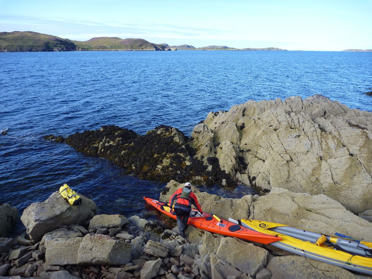
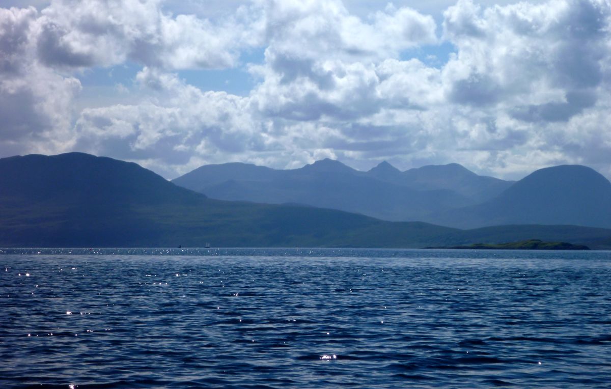
Two hours hard work on deck and it was high time for a refuel, so we set our sights on a beach formed by the creek which runs off the back of Ben Mor. But with more slip, slap and slop over the waves, it took twice as long as it looked to get actually there (left). It’s since occurred to me why. In this pic the ordinary-looking mountain seems quite near, but its actually an unusually big 2400-foot (730m) mountain far away. Or we were just slow.

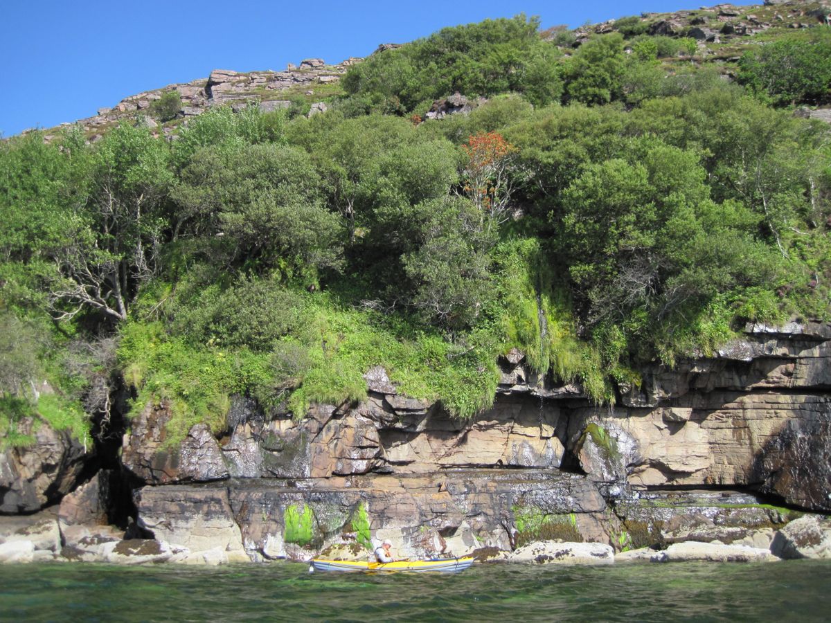
After the spell of fairly intense paddling, walking on the stony shore took some adjustment, but it sure was good to unbend. Up above a lone walker was pacing the thin Postman’s Path which runs along this steep, exposed coast east towards Ardmair. We did that one bleak December with packrafts. During a snack I kicked about among the usual enigmatic flotsam: a giant tennis ball, a baby elephant’s welly and a Filipino flip flop. I also picked up a bit of old rope to sell on ebay later while Jon pinched some nice stones for his giant aquarium back home.
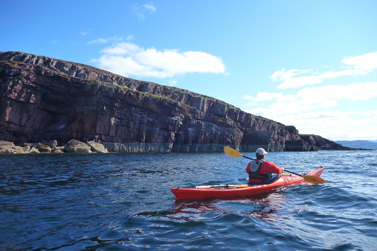
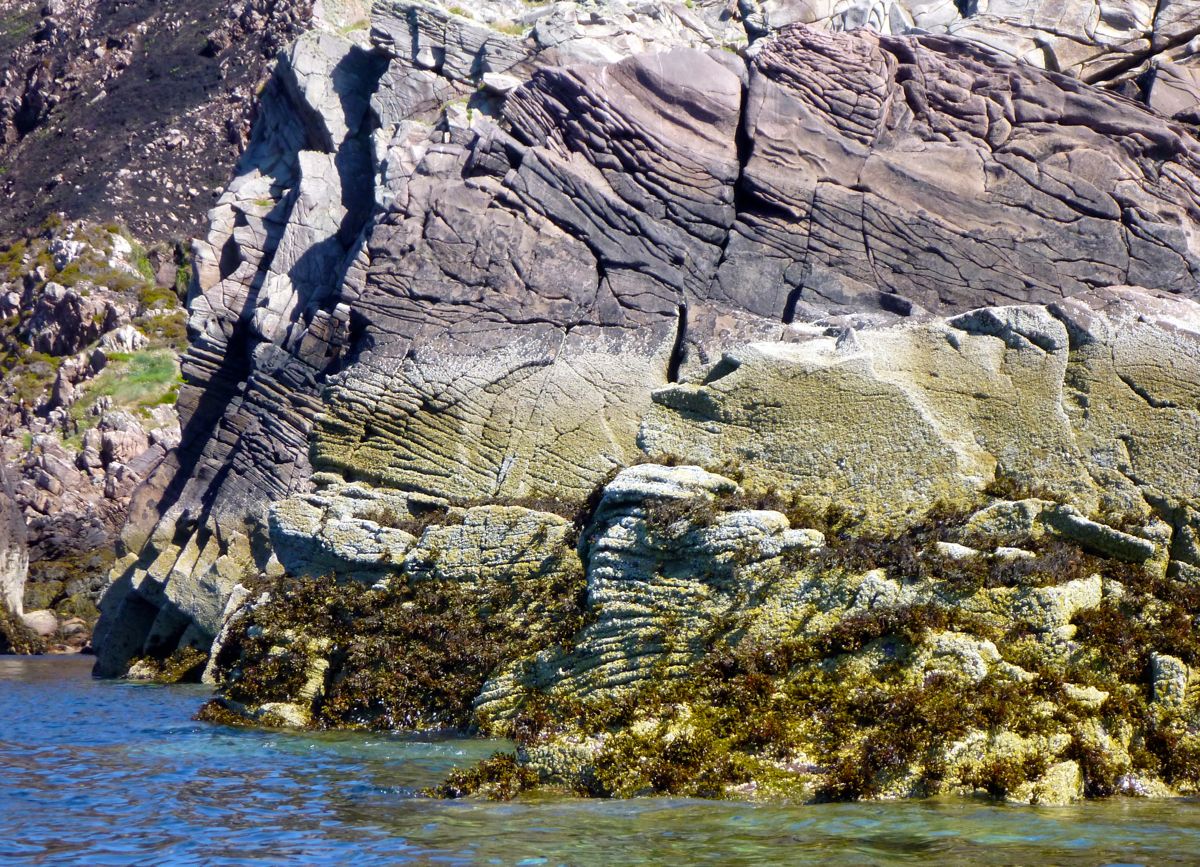
During our break the wind abated a little and as we set off again through a seal patrol, Isle Martin helpfully blocked the wind-borne fetch from the southeast. The creased, folded and weathered sandstone of guano-covered red cliffs drifted by, suggesting a second visit on a calmer day, but it was after 2 o’clock so we decided to save our energy and clipped the edge of the Isle. We didn’t want to leave it too late and end up paddling tired up the narrow part of Loch Broom on a turning tide and a headwind.

As it was I was hoping to snatch a quick sail (above) as we turned briefly southwest towards Rubha Cadail lighthouse, but while I did creep forward perceptibly, it was hardly worth it; bad angle and too much lee off the point. Still, the good thing with the Pacific Action sail is that it’s light, lies out of the way and is no effort to flick up on the off chance of a breeze.
Rounding the stumpy lighthouse near Rhue, (below), we could look back across outer Loch Broom to Polbain and the Summer Isles – maybe we should have planned the day in the opposite direction. Whatever, now it was time for the final 3.5-mile stomp into the wind to Ullapool jetty, hoping that the afternoon ferry from Stornoway wouldn’t sneak up from behind and wash us into the middle of next week.

I observed that Jon typically cruised at four strokes for my five and put it down to the superior glide of his hip-wide LV. In fact he was deploying a textbook exemplification of PPT or ‘proper paddling technique’, instilled by his personal paddling trainer (also PPT). I’d read about this technique in books: put blade in by your feet while turning torso and pull back by re-pivoting the torso, not just pulling on the arms like an ape climbing a vine. I tried doing this and was a bit faster but it all felt a bit stilted and robotic, not the way I naturally paddle, for better or for worse.

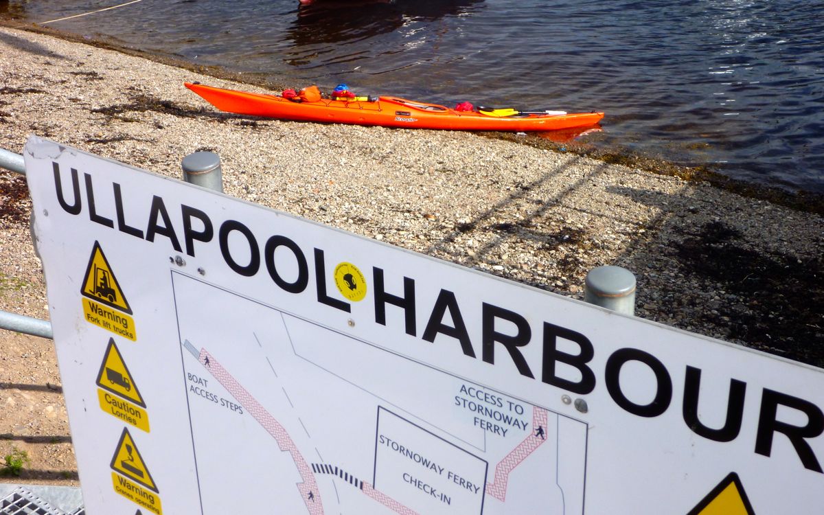
However you do it – ape-vine or PPT – it’s fun to paddle a little kayak into a port used to big boats coming and going from who knows where. Ullapool seafront milled with late-summer tourists and it’s possible to interpret one’s arrival as faintly heroic in their eyes, at least compared to a gannet floating beak-down in an oil slick.
Sunburned, crusted with wind-dried salt and not a little stiff, we pulled our boats ashore just over six hours after leaving Polbain. With probably five hours of actual paddling to cover what was indeed only 15 miles but felt more, that’s a fairly ordinary 3mph moving average. Not something to get Ullapool’s summertime bunting in a flutter. Had the headwind been stronger it would have turned into a right old slog, but always with the option of a take-out and an ice cream at Ardmair then an a hour’s walk to the car.

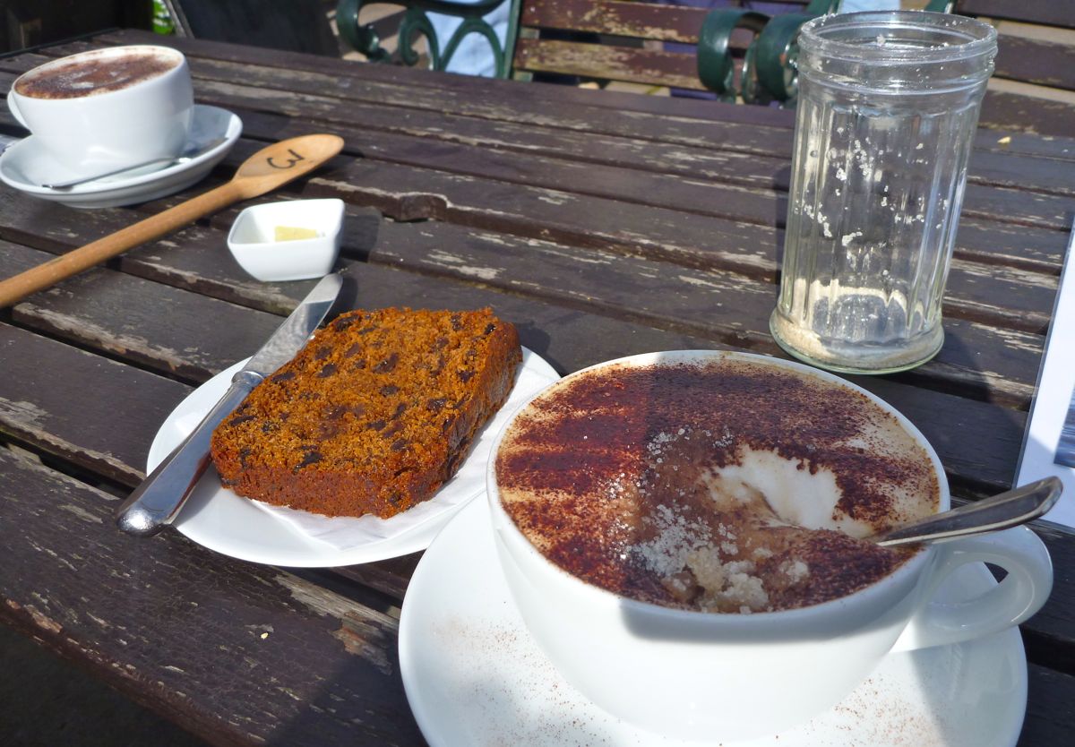
We did wonder what it must be like doing this day after day out here as say, Gael has done lately. We celebrated with a creamy cappuch’o and a slab of buttered fruitcake at the Ceilidh Place (as good as it gets in Ullapool). Recharged and with the anatomical creaks re-oiled, we reckoned we could have pushed on for another three hours if we really had to. But we didn’t so we popped into Tescos for more saccharine tucker and drove home.

Summer Isles Kayaking ~Tanera Mor (Incept K40)

Incept K40 Index Page
Tanera Beg here

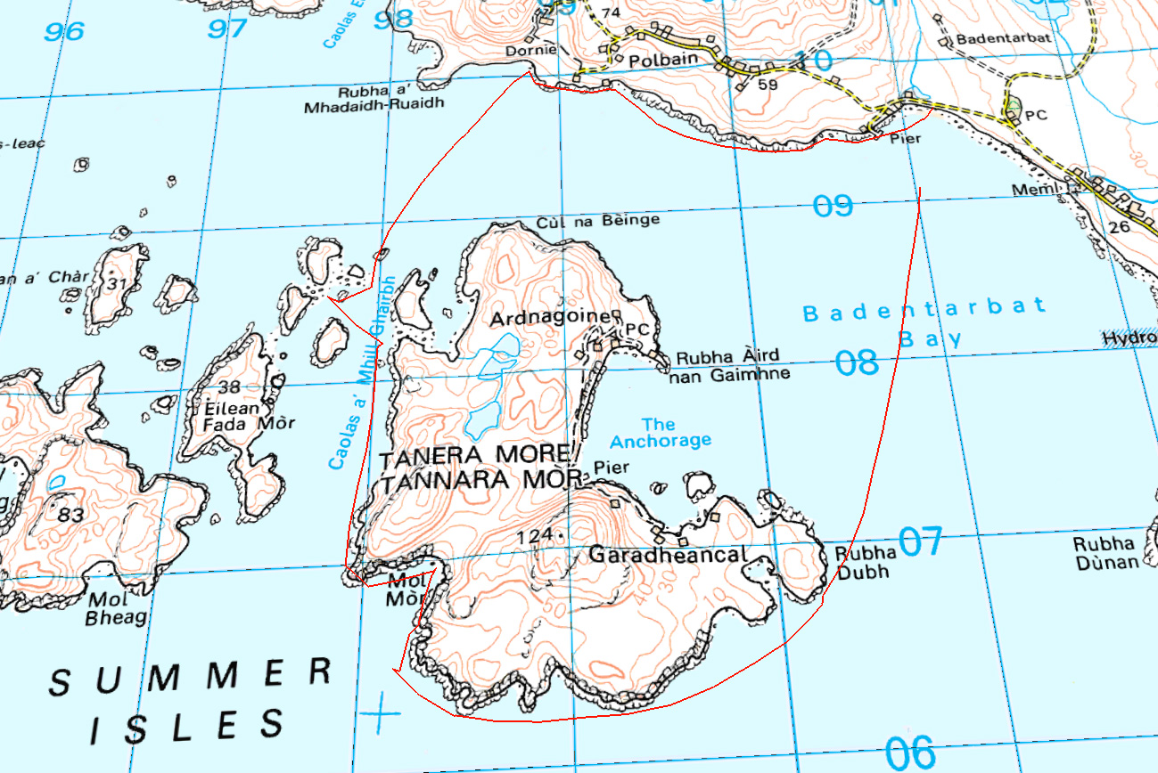
A sunny and wind-free morning coincided with the definitive wrapping up of my current job that’s dragged on for years. I could not pack up the gear quick enough before the calm spell flipped. And this time I wasn’t messing about – I was going to paddle right around Tanera Mor! All of a mile off shore it is, but you never know what to expect on the unseen ‘ocean’ side.
Just before midday I stuck out for Rhuba Dubh Dubh, the island’s most easterly point (see map, above) and would decide how things went from there. Less than half an hour of speedy, flat-water paddling I arrived at the point, the smokey blue Torridons brooding in the background and the creased and weathered sandstone cliffs to my right.


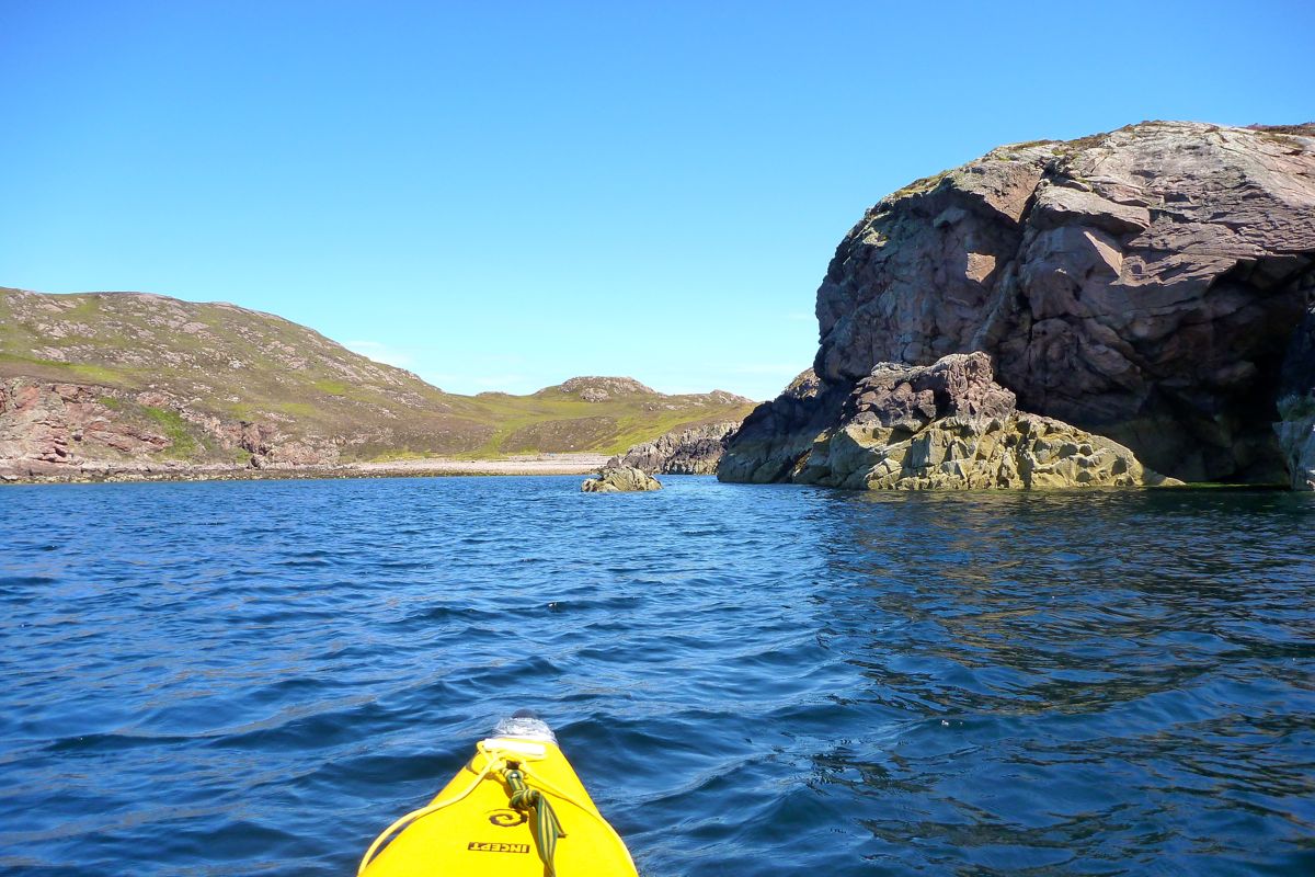
Rounding the bend to Tanera’s south side I wasn’t hit by the expected churning swell and whirlpools but pressed on, reluctant to relax until there was something to relax about. That turned out to be the inlet of Mol Mor which invited me in for a walkabout.
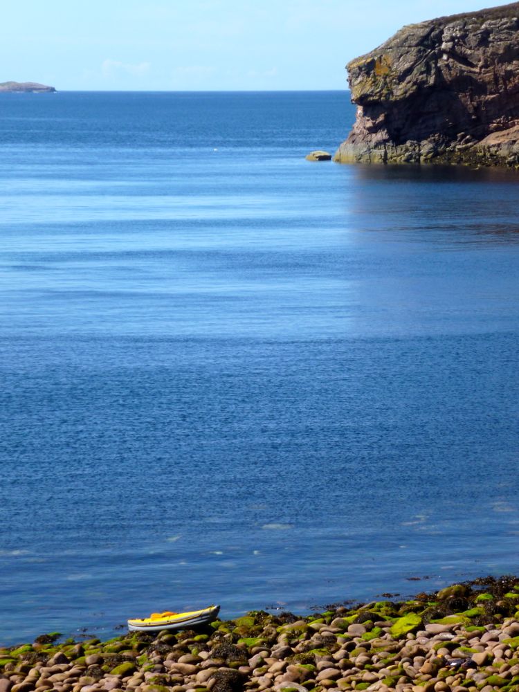
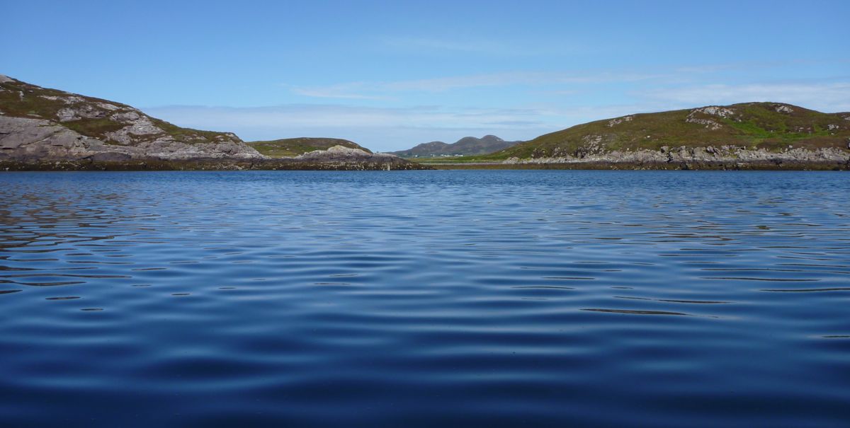
It has to be said, at lower tide levels these islands don’t make getting ashore easy; a jumble of glistening wet, seaweed-draped boulders as big as melons bite at your ankles. And on proper land, it’s no better, with more unseen ankle traps under the thick heather, or plain old sphagnum sludge juiced up from the recent rains. But as always, from a high point the little yellow boat down below looked striking. Green sea-over-sand and the far headlands of Wester Ross backing the tempting (but not today) outer Summer Isles of Eilean Dubh, Bottle Island and Priest Island with the distant strand of Mellon Udrigle shining bright.


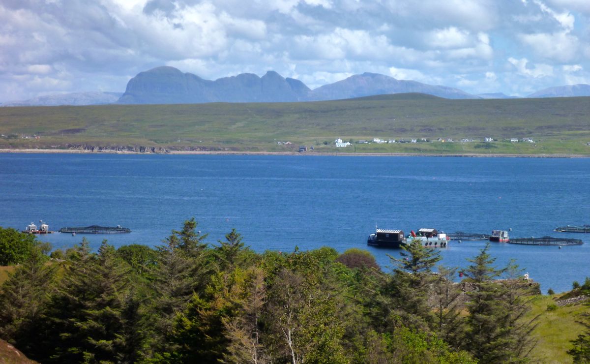
I clambered up to a pass for a view back north over the fish farm to Achiltibuie and the loaf of Suilven behind. Must go back up there one time soon. On the water again I turned up between Tanera Beag where a north wind had come up and gave me something to get stuck into. I didn’t want to push my luck but to string things out I popped onto one of the three islands north of Fada Mor which become one mass at low tide. Causing a seabird commotion overhead, I crawled to a high point and took in another great view back at the Fisherfield   and Torridons.
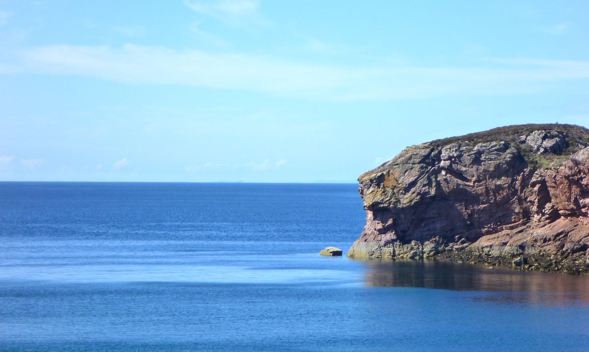
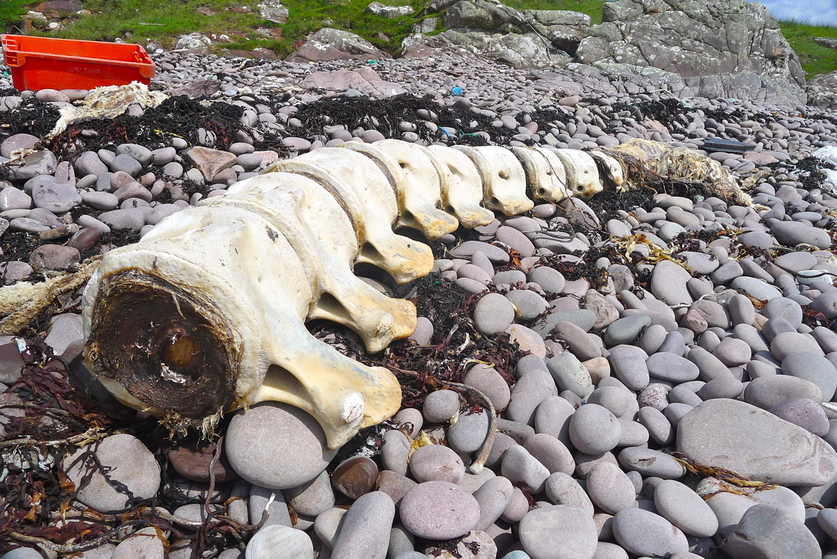
As on Tanera, the colours of the vegetation jumped out at me – was it the light, the recent rains after a long dry spell or just my shades?  All that remained was a hack over to Dornie and back to Whalebone beach (now all gone). It was just beginning to whitecap which I regard as the red flag, especially when blowing from behind.

The spray kicked up over the sides but at times like these I’m reassured by the K40’s reliable turn of speed – about 3.5mph the readout said. It’s good to know it can be done, even if most of the time I prefer bumbling around in calmer weather, looking at stuff.

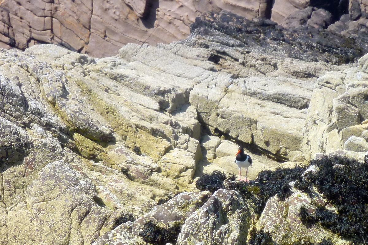
Once over, I pottered back tucked under the mainland shore out of the wind. A beaky oyster catcher eyed me suspiciously just as I neared the beach where a guy setting out with his toddler on his Sevy 200, doubtless the only two IKs for miles around. A few more days like that please, Mr Weatherman.

As I Paddled out one Midsummer’s Evening (Incept K40)

Incept K40 Index Page

I took the K40 out across the bay for the first time since Ningaloo last September. As mentioned earlier, Australian UV being what it is, it did look pretty good after being rolled up for months. I put that down to lashings of 303. But it still went a bit flat in the few days between pumping up and paddling. Maybe I pumped it up on a hot day.

I topped it up in the water at Old Dornie, had a quick look for bubbles, took the pump with just in case, and set out back to Badentarbet beach. It had been calm for days and an ankle-high swell wafted along with a spring tide about to top out at about 3.5 metres. I passed the old ‘Wasp Factory‘ (left) still intact, and dithered a bit about crossing to the island, over-conscious about how the boat was moving on the currents that would barely push a wet paper bag. In the end, Tanera Mor got close enough, and after a couple of minutes paddling I trailed the rocky shore of red Torridon sandstone for a while before heading back across the bay.
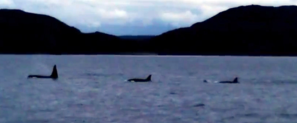
I found out later that the day before a boat tour had spotted a pod of half a dozen orcas (ropey video – start at 1:40 for the best action) right here. Someone suggested that because it’s been so dry, the salmon can’t get upstream to do their thing so have backed up along the shore where the killer whales come in for a feed. Video still below, more pictures here and see footnote.

With no dorsal fins towering over my head, I crossed the last mile over the bay with the rudder up to remind myself it was do-able. The K40 took a bit more finesse and occasional hard yanking to keep in line, same as with the old Sunny when without a skeg. A smooth, steady style works best but what it really means is that you can’t go as fast; pull hard to escape from a killer whale’s jaws and you really need your feet and a rudder to get you back in line.

As my taxi came down off the hill I passed a cheerful buoy bobbing around. Stowing the paddle and using the buoy as a marker, I noticed how quickly I was drifting back on the unseen tide, but as always, with the water and wind moving against you, you get much more of an impression of speed which is satisfying. Battling the not so agreeable tail winds off Ningaloo last September, I lost my faith in the K40 a bit, but here on a calm Highland evening, the Tasman slipped along, just as it always did.


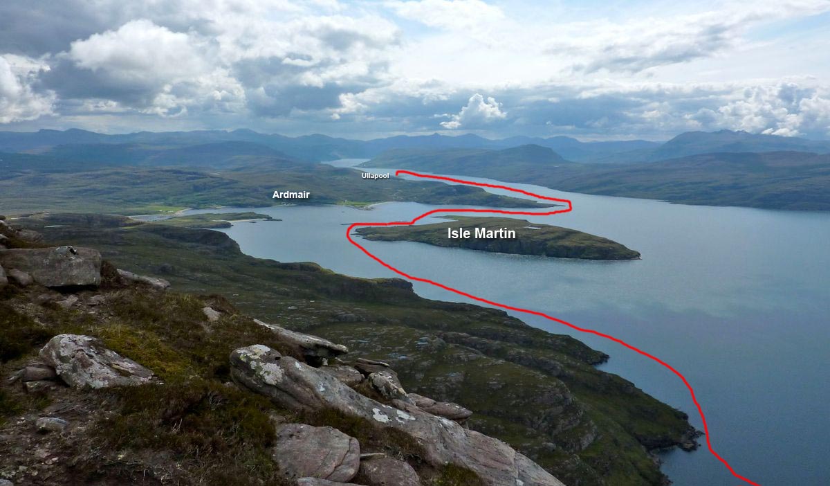
We climbed up onto Ben Mor (right) the other evening, from where I was reminded just how close Ullapool seems from a couple of thousand feet above sea level. Looking out over Loch Broom, with one arm you can pat the Summer Isles, and with the other dab the lighthouse at Rubha Cadail (Rhue), south of Isle Martin and Ardmair (left). It’s some 13 miles or more, but with a get-out at Ardmair if need be, it would surely be doable within in the span of a tide, then to catch the afternoon bus back.

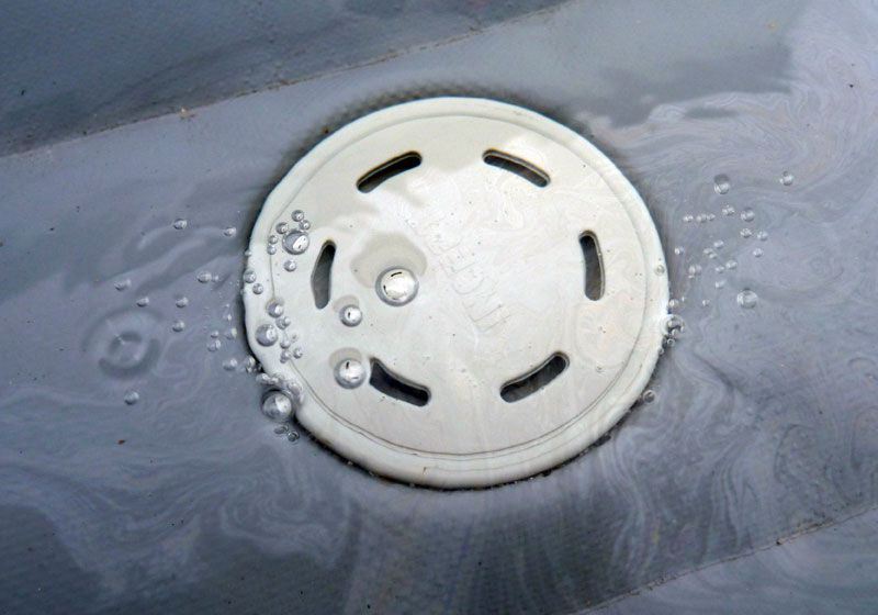
A few days later I decided my boat did have a leak in the floor somewhere. I hoped it might be a bit of easily expelled grit in the PRV and not the hull delaminating in some hard-to-get-to corner.  I filled it up like a paddling pool and sure enough, it was fizzing from around the edges of the PRV (right).
It took a bit of tracking down with Google (the menuless Incept NZ website is not the best), but it seems the cap needs prising off and the valves cranking down once in a while with a Halkey Roberts valve tool. Seeing as it’s not been done since new, that makes sense, so one’s on order and will hopefully do the trick. I never had to do that on the Gumotex Sunny in all its years, but the Incept does run a higher pressure and is a faster boat because of it.
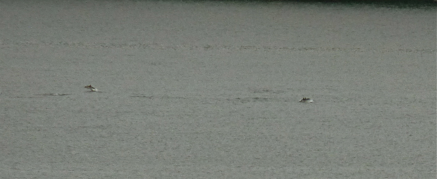
A day after I wrote this, over breakfast we spotted a huge pod of [probably harbour] porpoises coursing across the bay. They’re not so unusual and half an hour what looked like up to 20 of them trawled a line to an fro off the shore of Tanera Mor, presumably hunting or feeding. This is the best the zoom could manage on a murky midsummer’s morning.