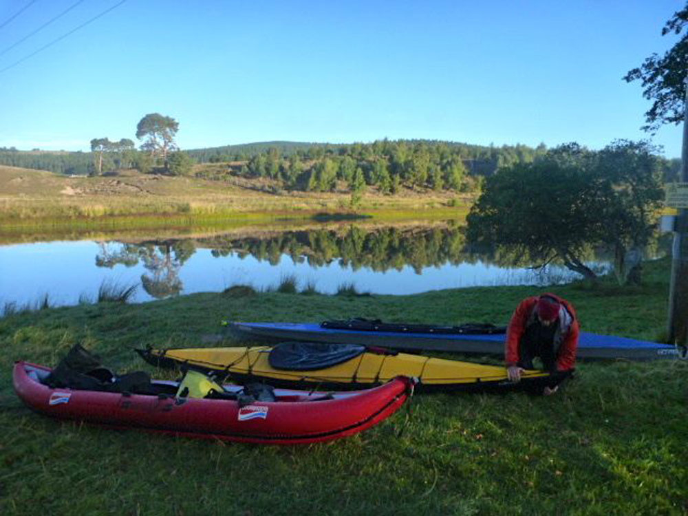
Not much time for paddling at the moment, but with a staggering three days of cloud-free skies while the south had its traditional wet bank holiday, we had to down tools and go and do something. How about another walk over Suilven and paddle back – was last time three years ago already? The motorbike was left at Inverkirkaig, so this time it was just a paddle-and-boot ‘biathlon’.

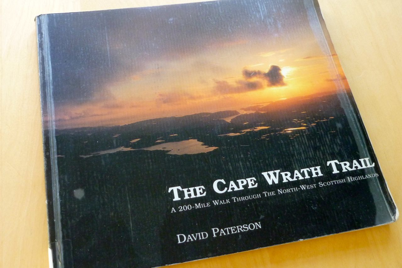
With the car parked near Glencanisp Lodge, it’s about a 2-hour walk along the estate track to the turn-off leading up to Suilven saddle. On the way we pass Suileag bothy where Jon and I overnighted in May, tackling an Assynt variant on the Cape Wrath Trail.
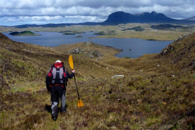
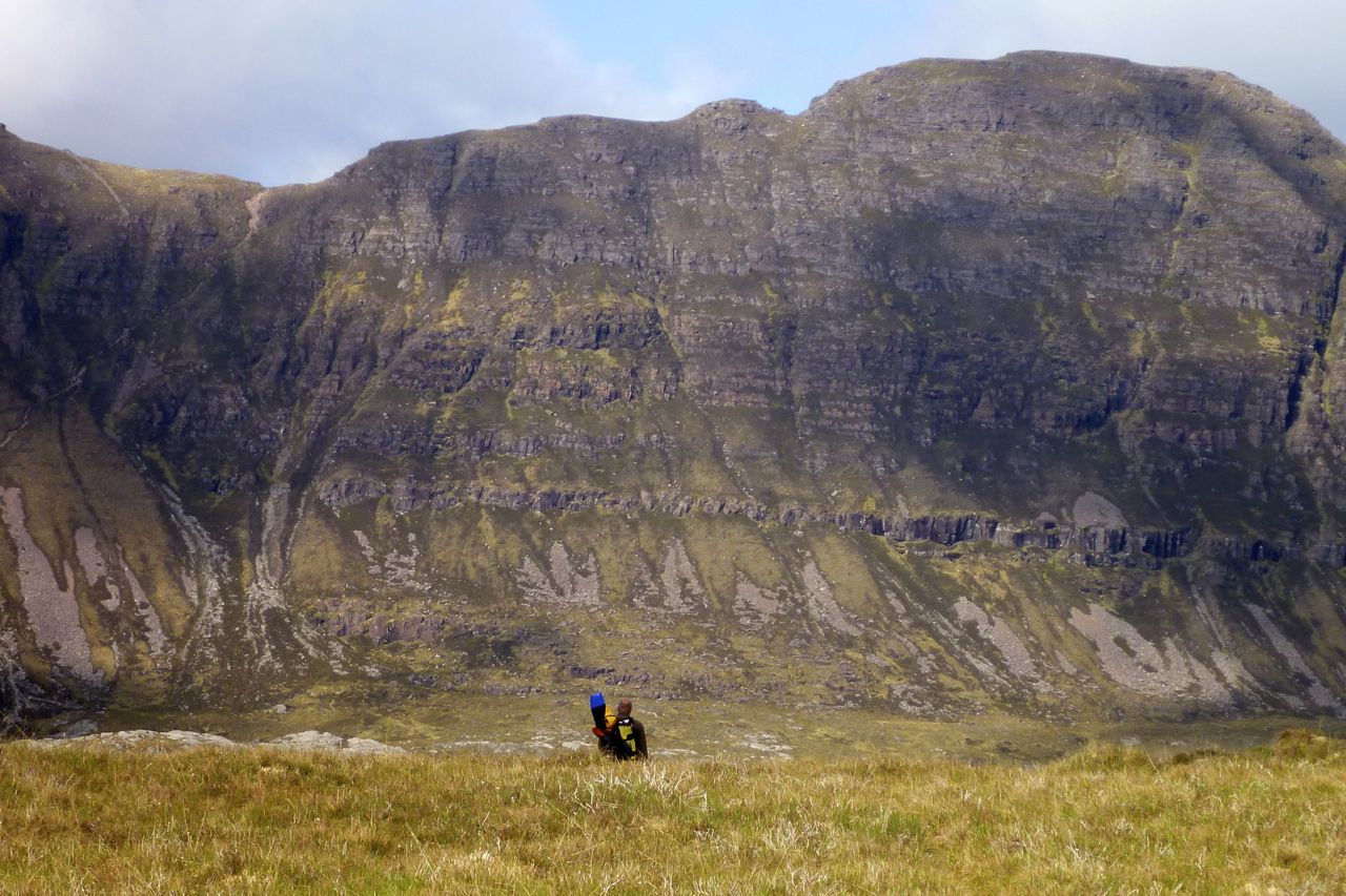
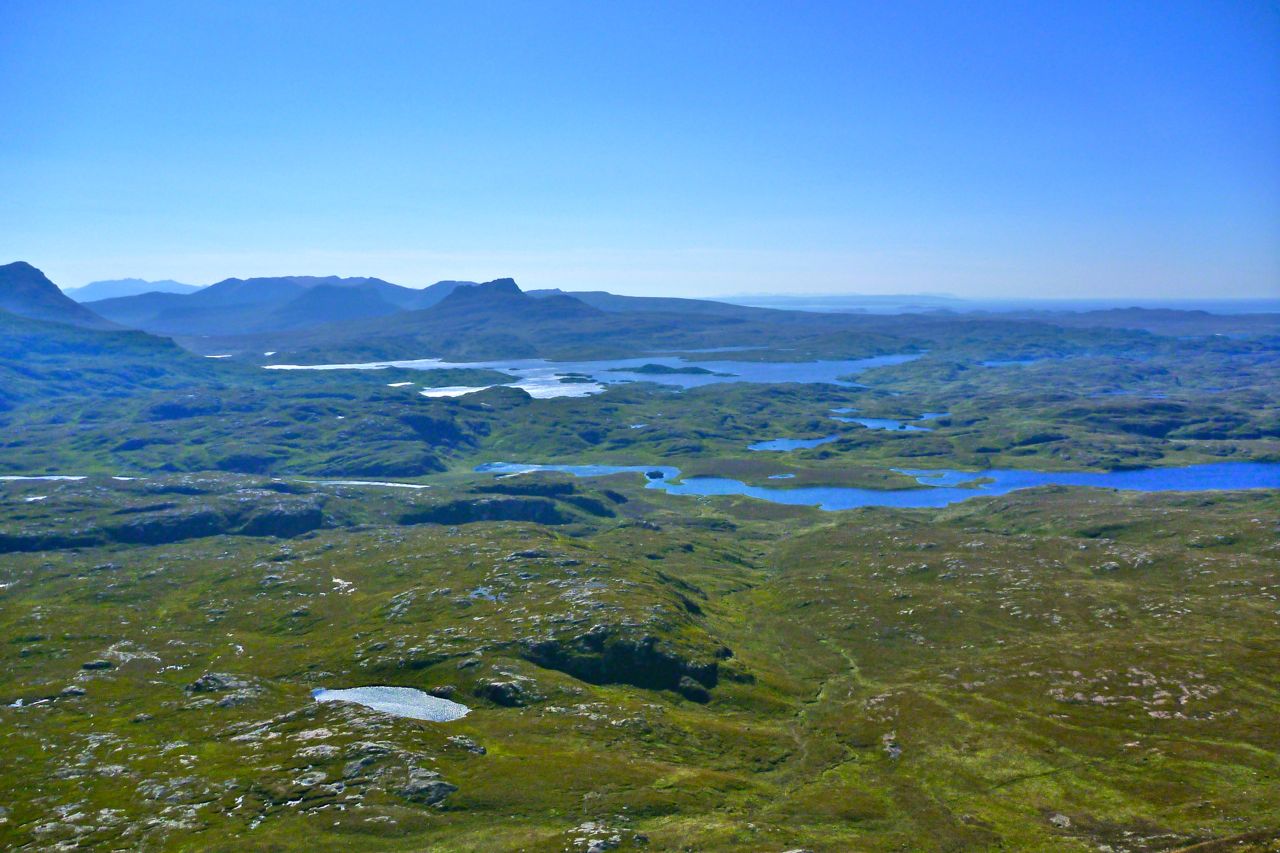
It’s only a mile and a quarter from the estate track to the saddle, but with the 430-metre rise, it takes up to an hour. The washed-out last few feet onto the 600-metre-high saddle are on all fours. Above at the back, Quinaig, one of the best of the Assynt mountain walks. No packraft required.
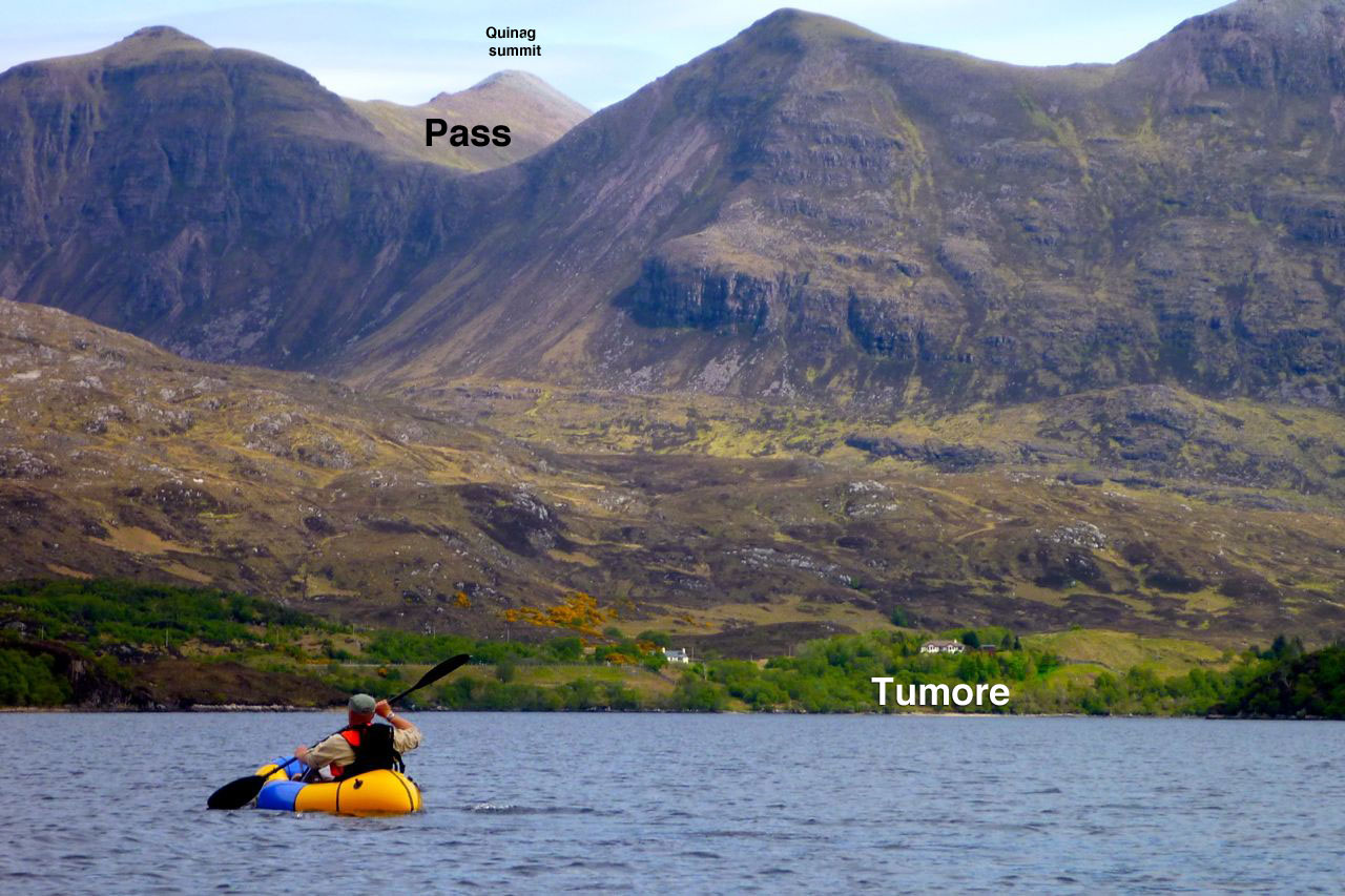
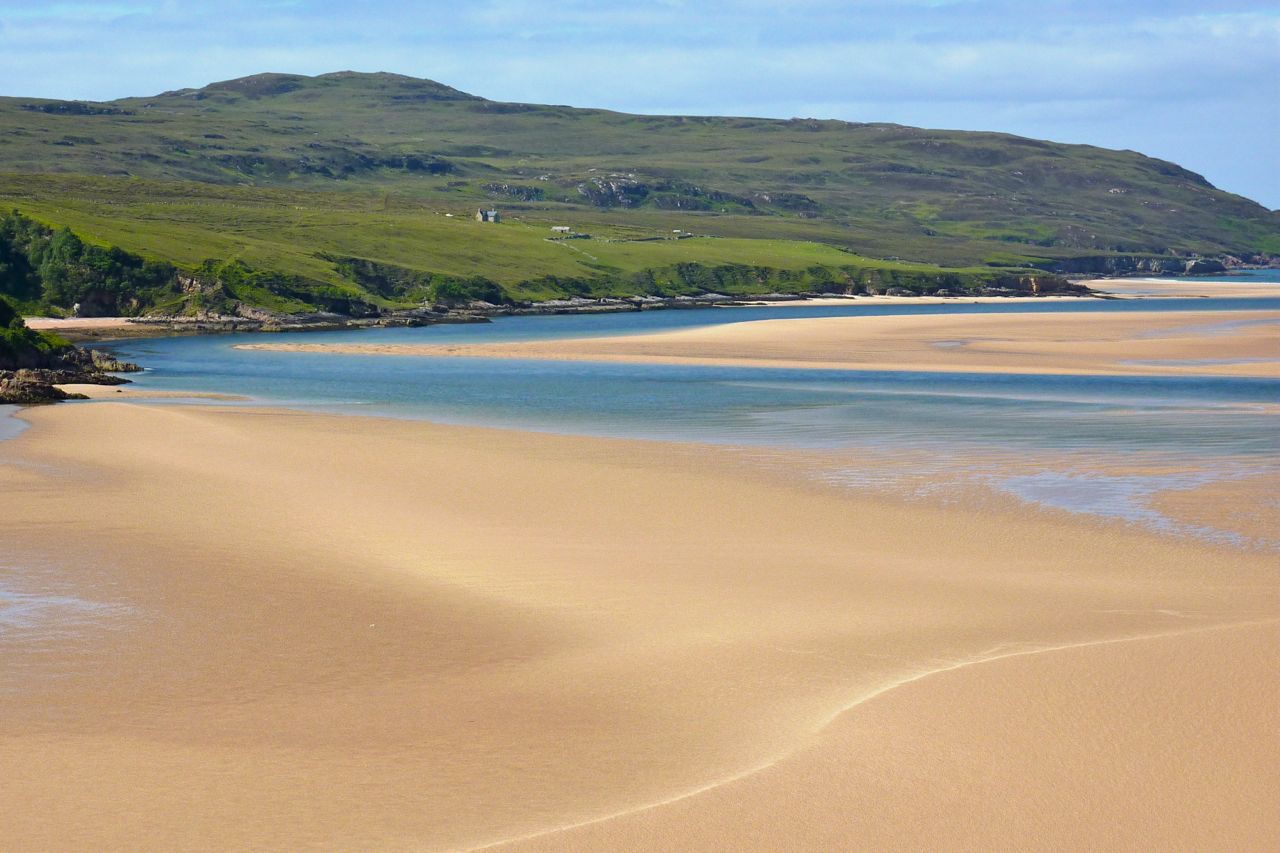
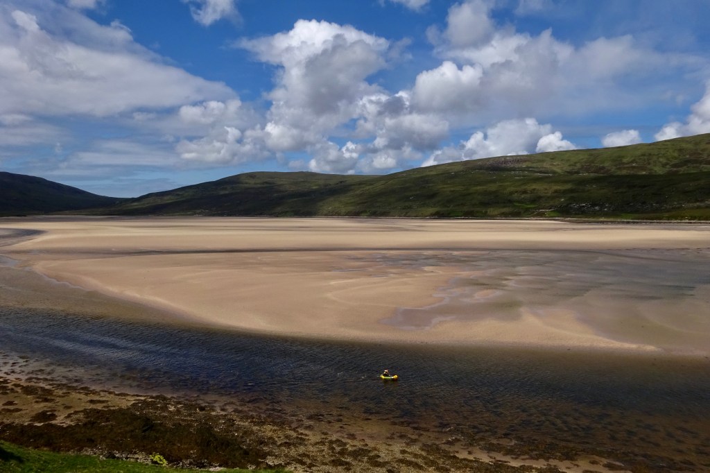
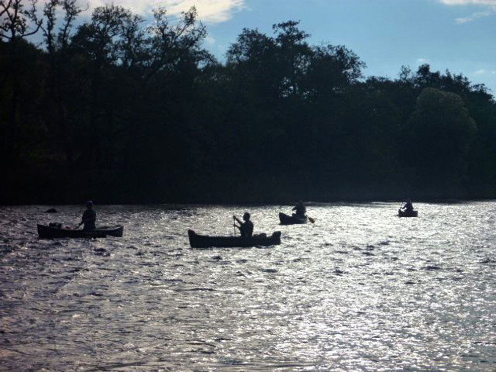
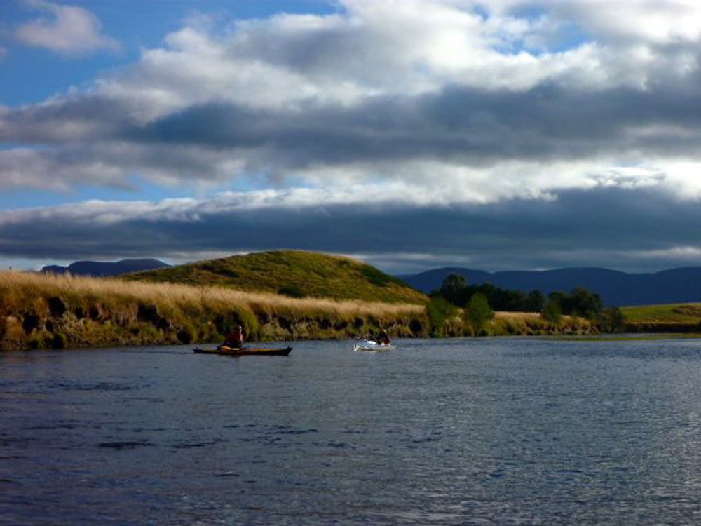
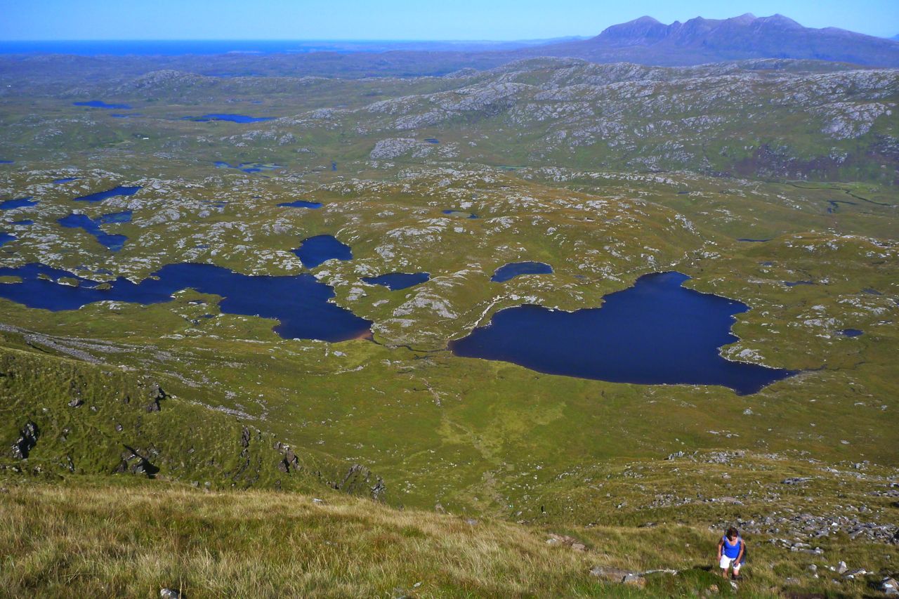
At the breezy saddle it’s quite busy – well, ten people or so – so we decide to lounge around and not visit the 731-m summit, nice grassy spot though it is. Far down below on Fionn Loch, we think we can see three canoes heading upstream towards the canoe camp alongside the rapids (more or less the middle of the picture, above). But they’re moving so slowly, for while I thought I was mistaken. Soon we’d realise why they were creeping along at about one foot a second.
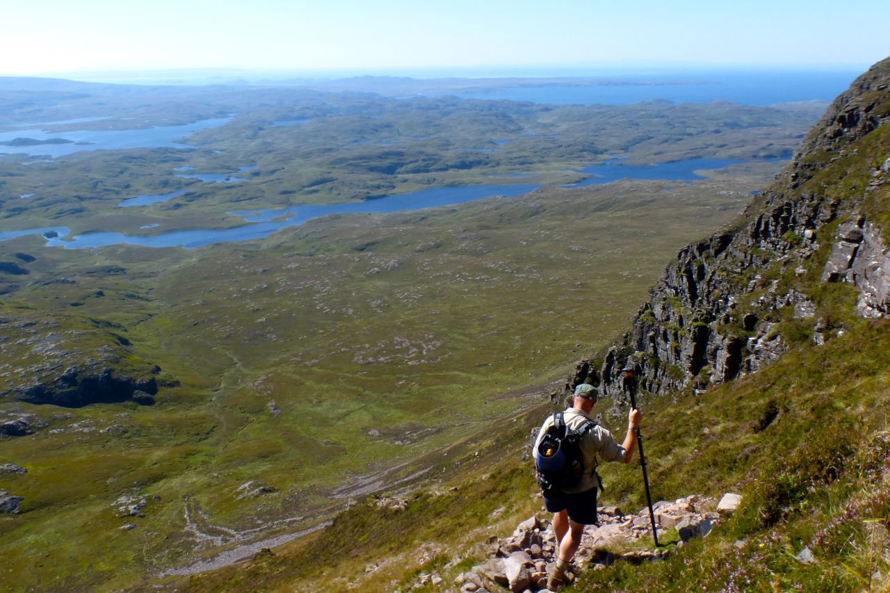
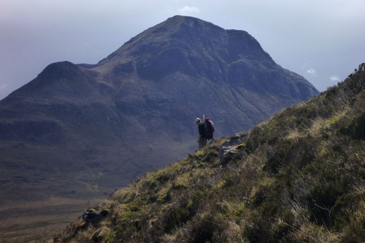
We set off down the exceedingly steep south side of the mountain.
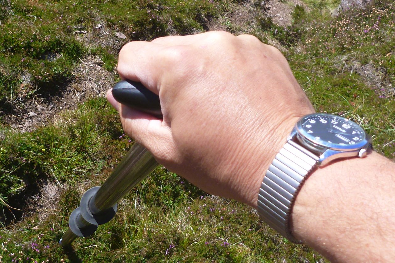
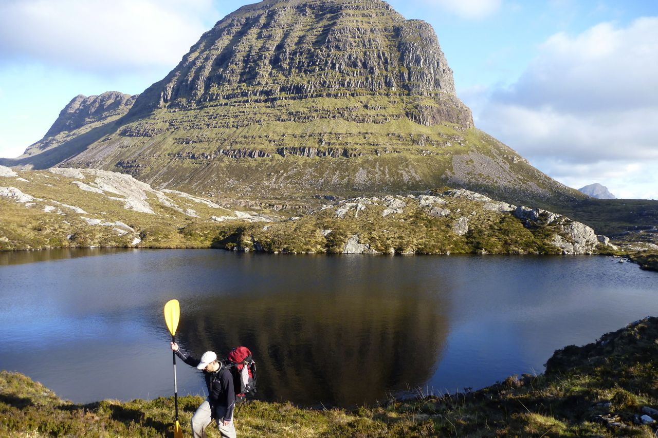
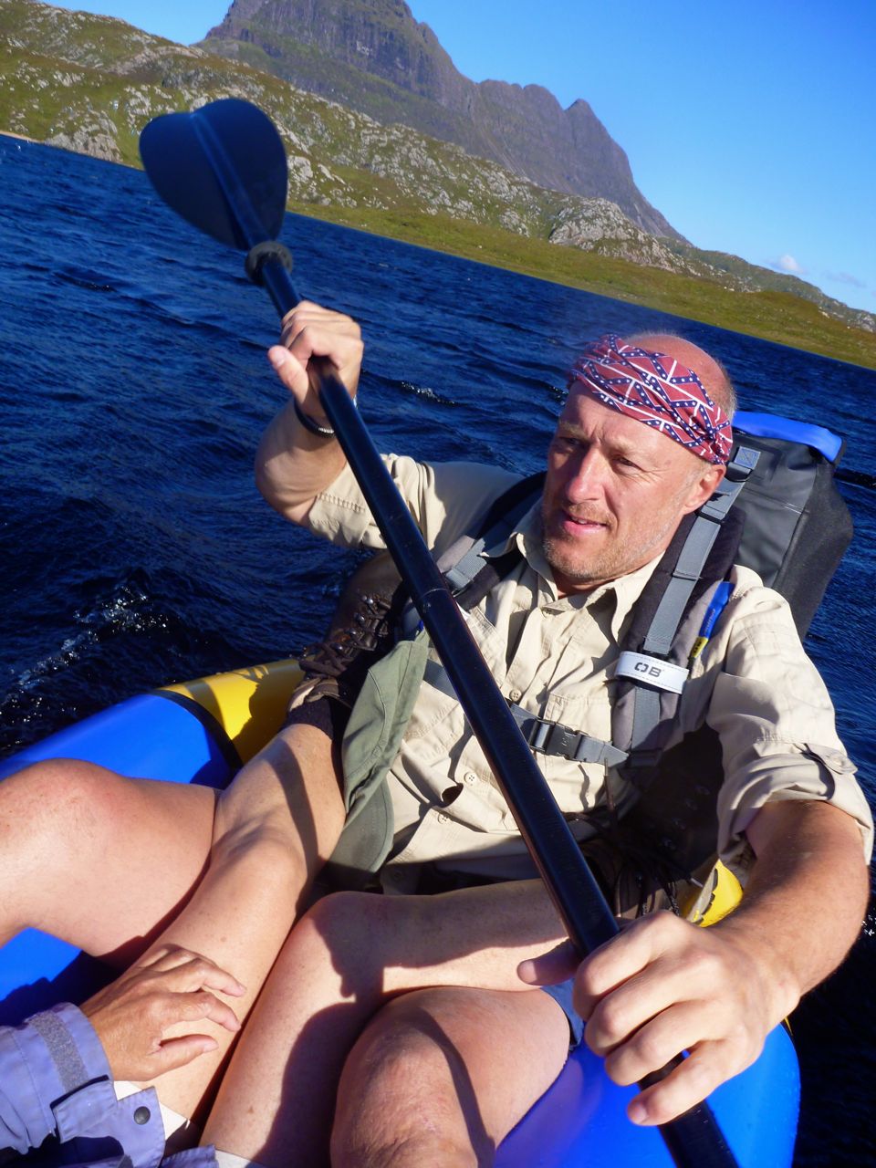
Here I get my first chance to appreciate the canoe-handle T-piece I’ve added to the end of my packstaff. It makes a much better support when inching down steep slopes, and the long packstaff can reach down a foot below your boots. Anyone would think I was going on about packstaffs again.


Coming off Suilven, the gradient begins to ease.
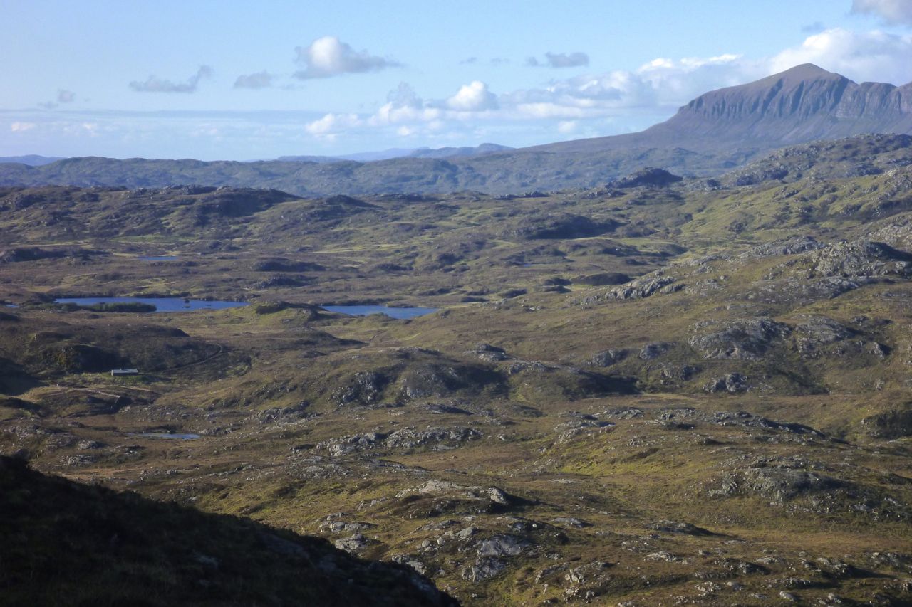
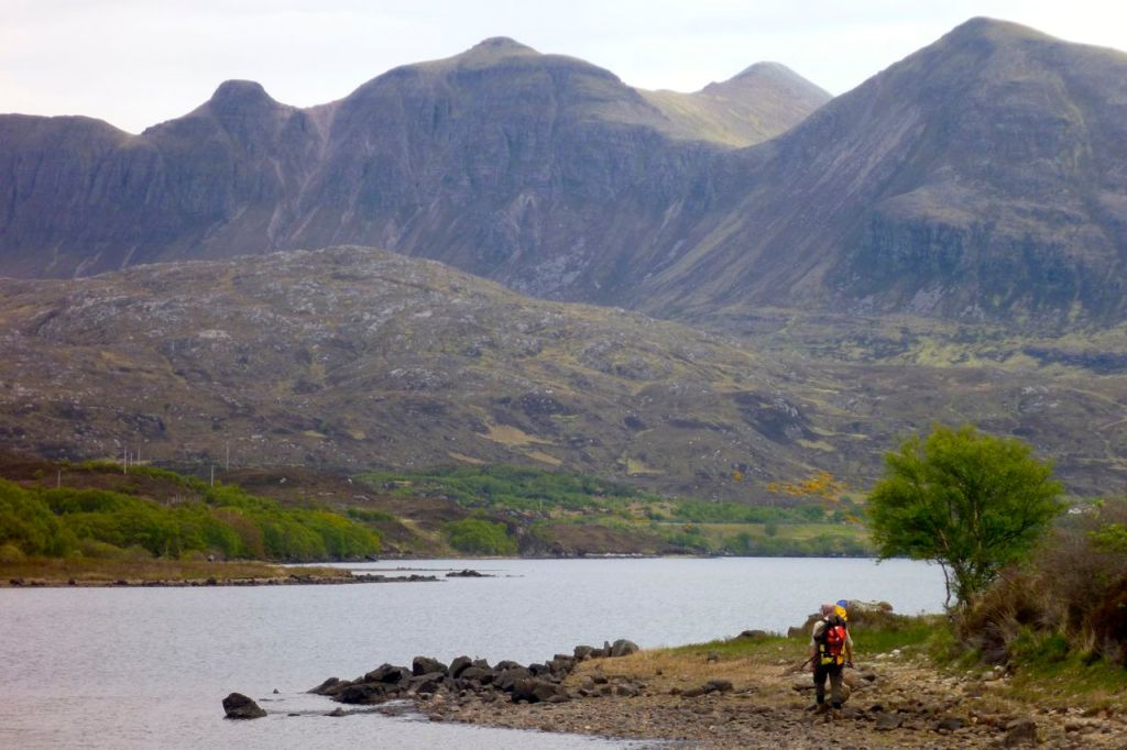
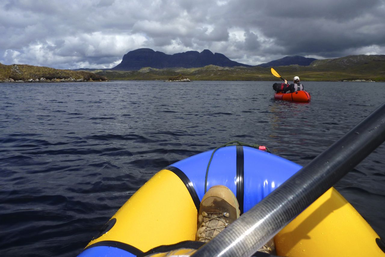
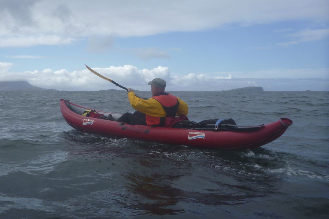
By Fionn lochside a strong easterly is blowing and the packraft fills up almost by itself, even if the boat is on the verge of taking off. This looks a lot more than the 15-mph forecast. The wind will blow us downstream, but it looks rather gnarly out there, and we’re only at the ‘top’ of the fetch. It’s about a mile and a half along the loch to the river inlet and will get choppier downwind.

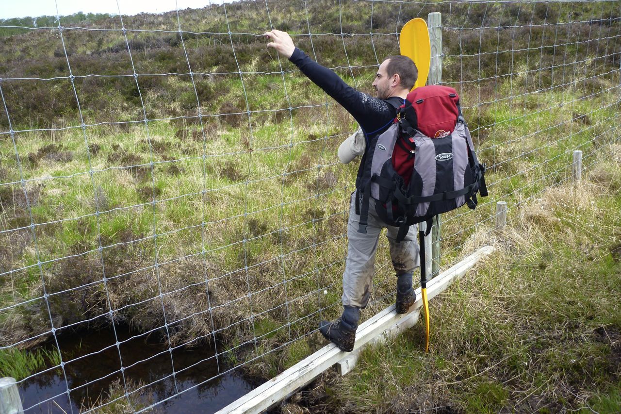
Visiting baboons might enjoy a view of my butt patch – glued on with Bostik 1782 and (appropriately) lined with gorilla-tape. Even though the 2014 Alpackas have a bit more back-end buoyancy (as we were about to find to our cost), for the weightier and lazier paddler, a butt patch offers useful protection in the shallows.
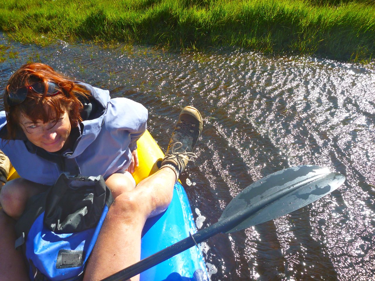
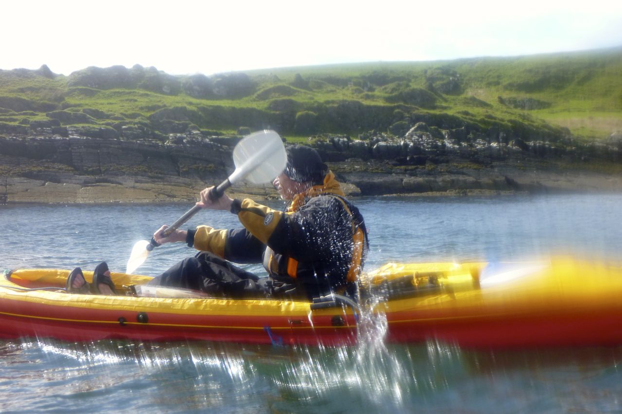
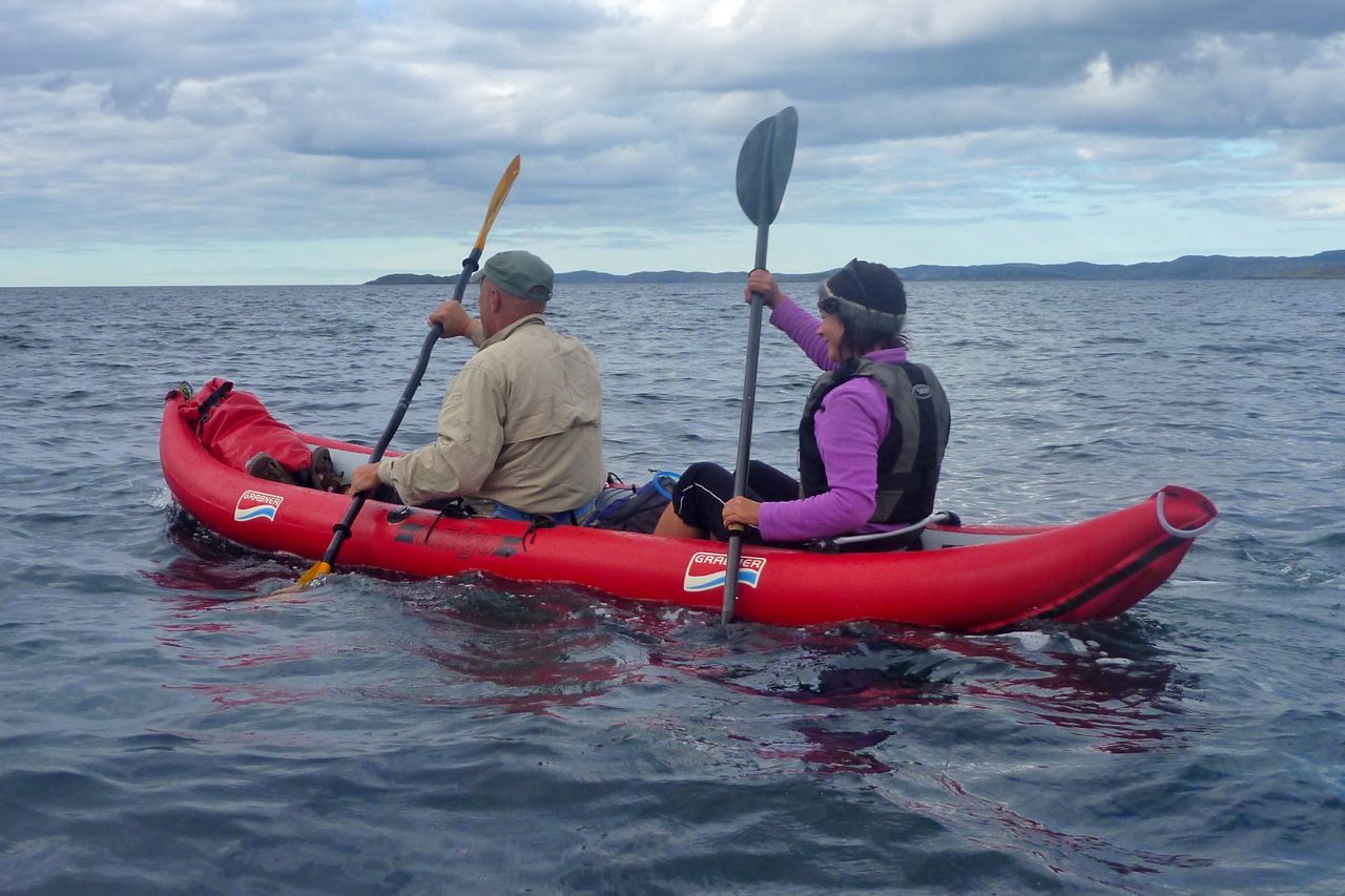
Did I say it’s very windy? And to make matters worse I’m rather careless about the weight distribution, forgetting how we did it last time in much calmer conditions. With the packs in the middle of the boat and the Mrs’ legs tucked in, instead of reaching back, the bow was noticeably low.

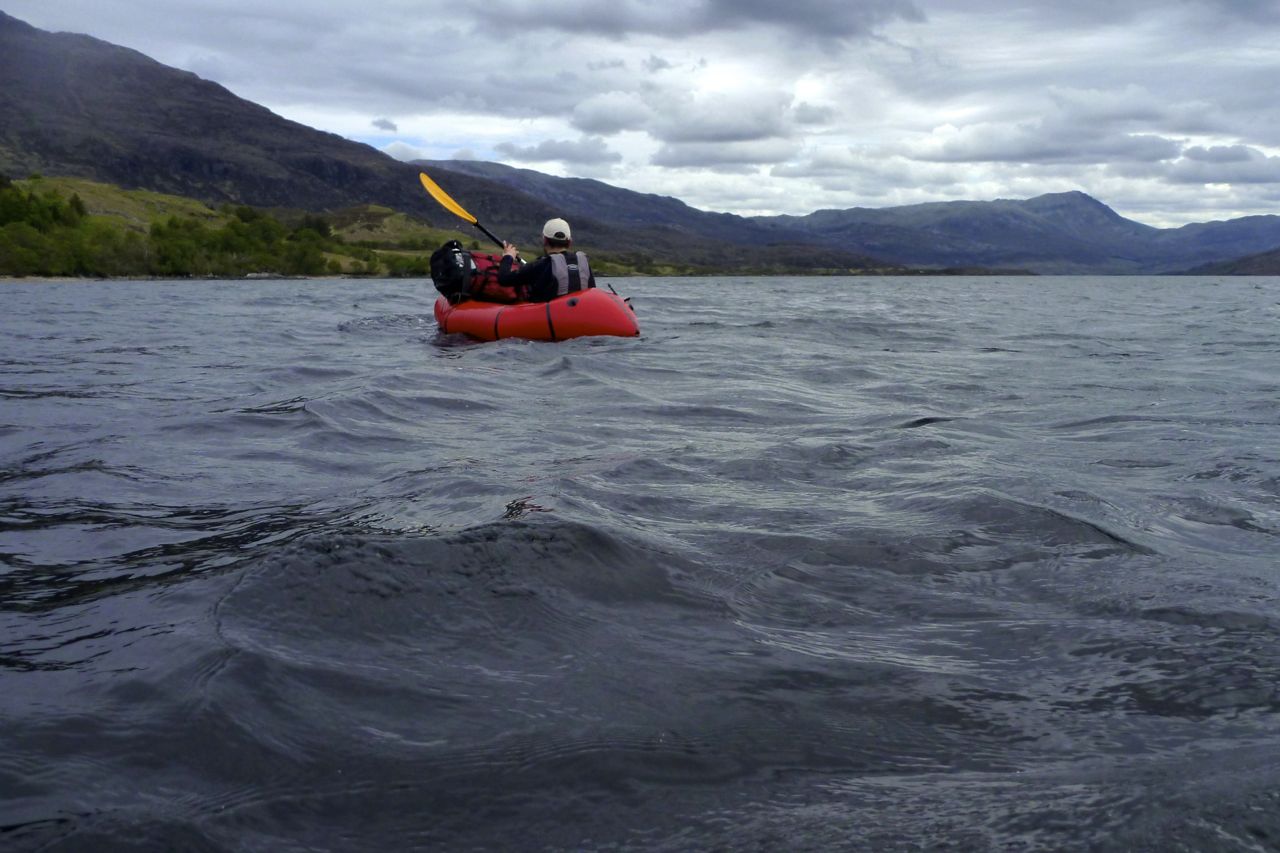
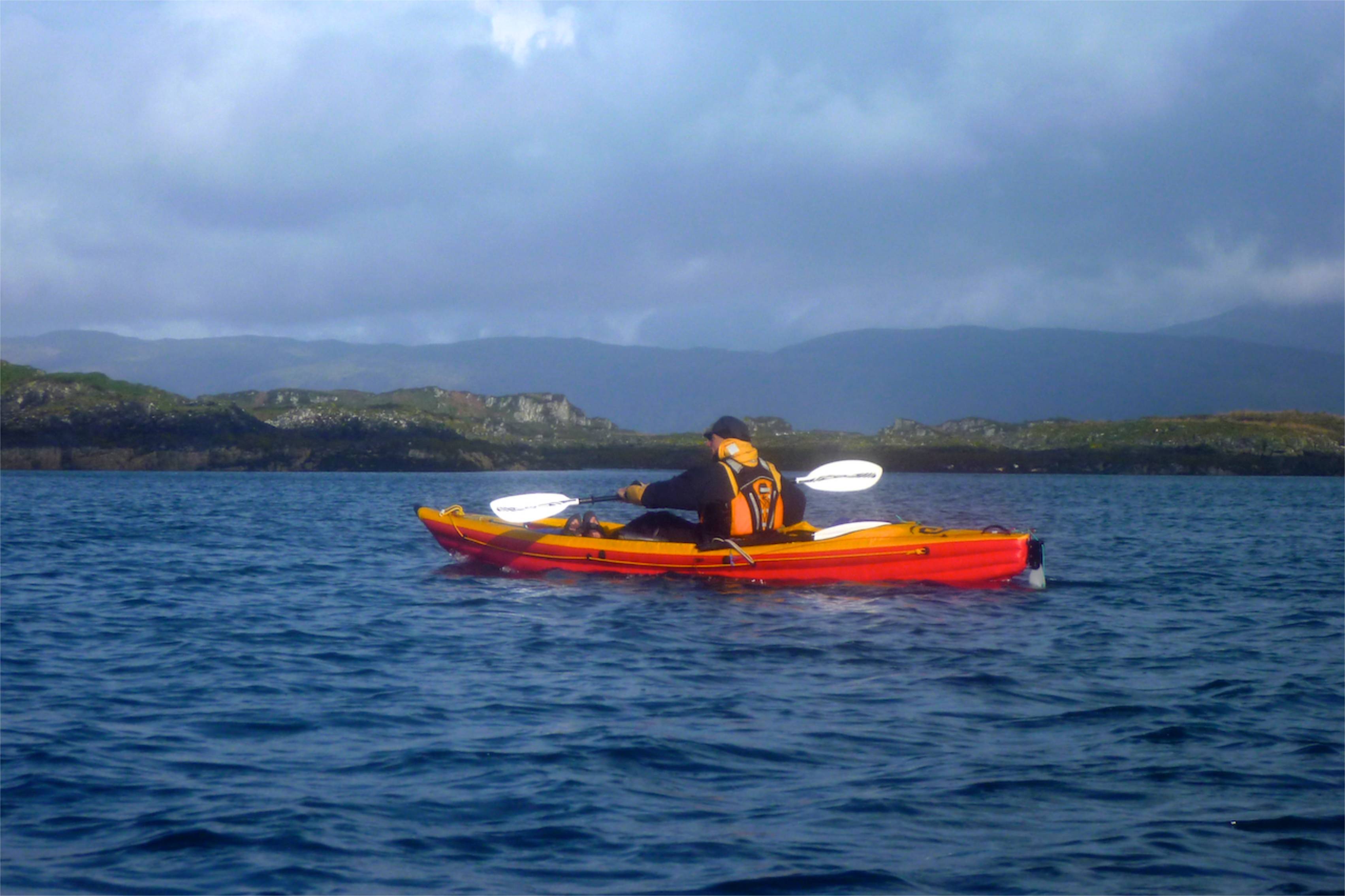
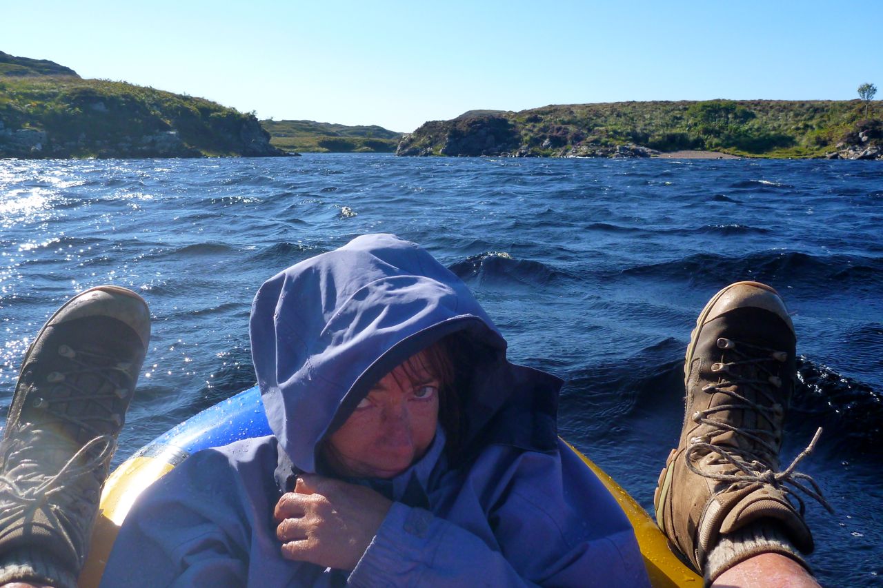
Once out midstream, the bow started swamping in the chop which was a little alarming. The restful 1.5-mile downwind paddle to the river inlet is abandoned. I tell the Mrs to lean towards me, and I paddle across-wind for the other bank. The odd wave splashes over the side.

We could have tried again with the packs on my back, but were a bit unnerved. As it is, two-up the boat was a little hard to handle in the wind, and we have no pfds. So the Mrs takes to the bank – a long detour around a lagoon – while I tip out the boat then allow the wind to whip me along the loch, pulling over to wait once every few minutes.

I’m not sure I want to engage with the wind funnel at the ‘narrows’ of Fionn Loch, as by now the whitecaps and chop are getting it on. Plus I’ve lost track of the Mrs. So I pull over and stagger over the bogs to see where she is.

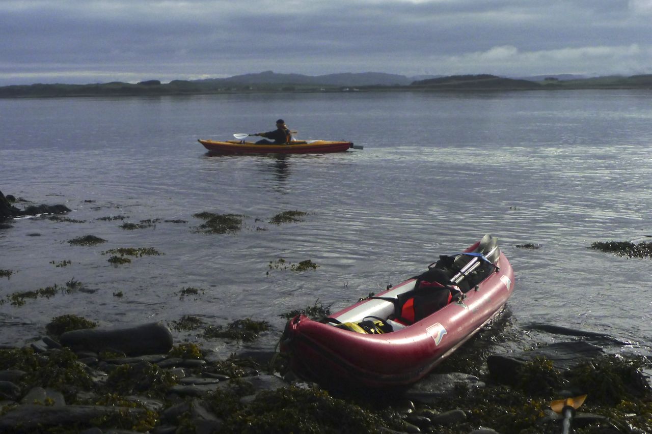
Reunited, we’re effectively on the south side of the Kirkaig river, so are still going to have to paddle across to get to the north side for the regular path back to the car park. I recall the river entrance nearby is in another bay which will be out of the easterly fetch. With better thought out trim, that crossing should be less risky.

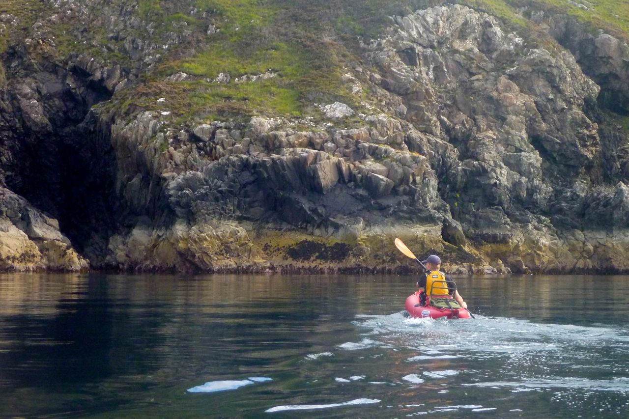
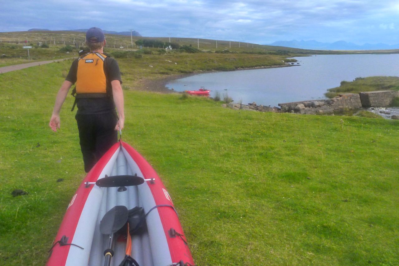
I know from previous experience that trying to carry an inflated packraft even five minutes to the bay in this sort of wind will be like trying to wrestling a pterodactyl. So out with the plug and under my arm it goes. That’s the great thing with packrafts: they’re as easy to paddle in as they are to walk with, though there’s probably a more elegant way of saying that.
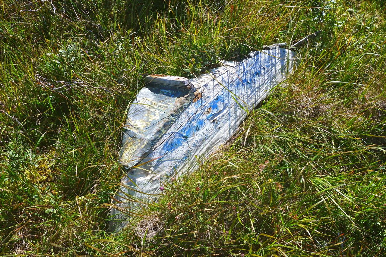
This rotting transom is all that remains of the last boat that came this way.

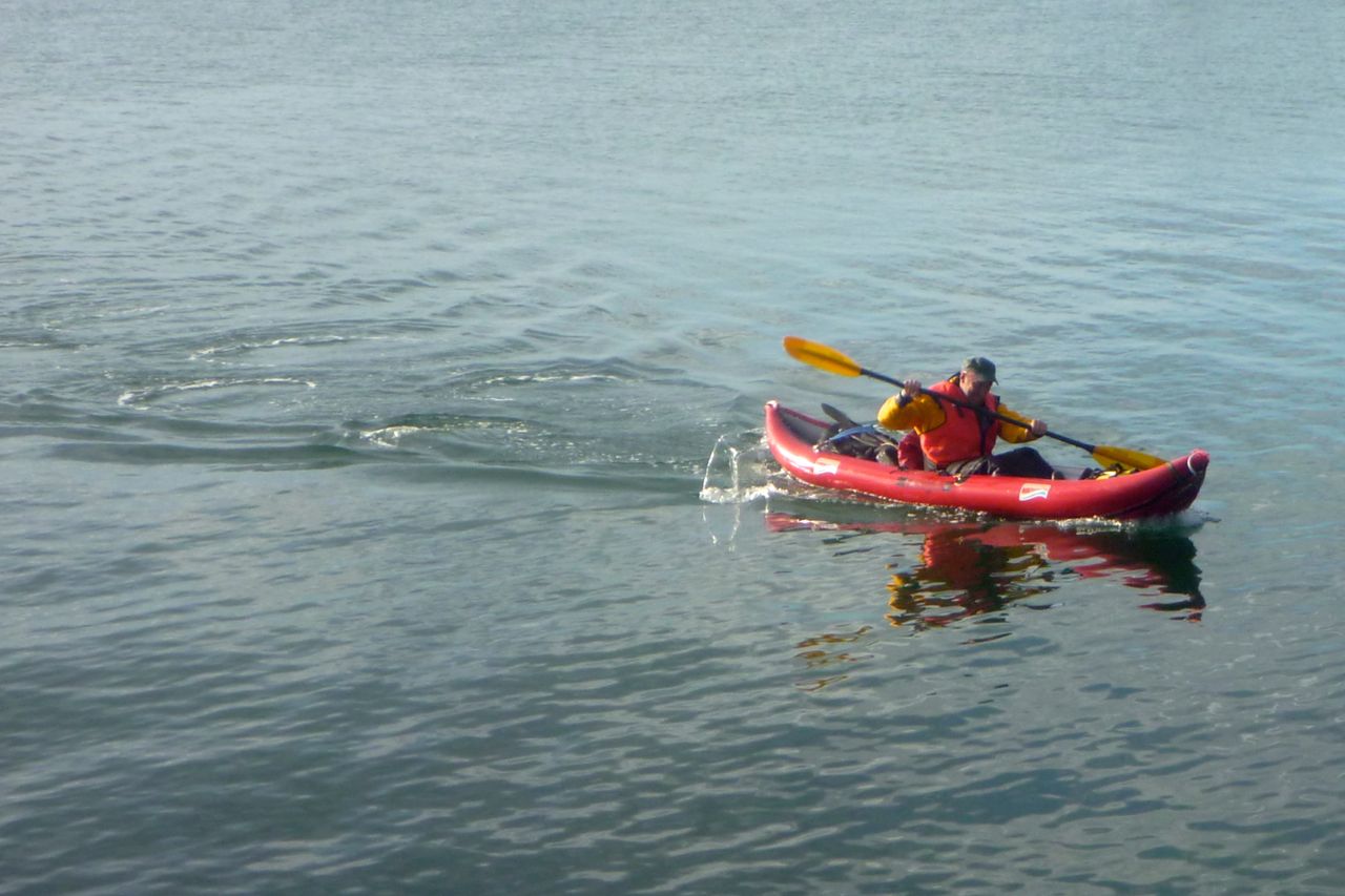
Another quick air up…
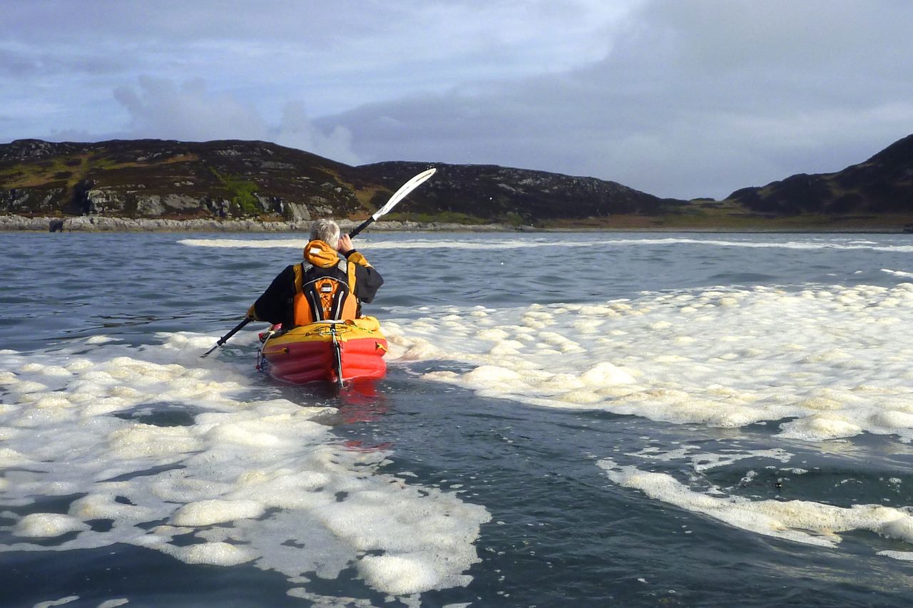
…and we set off across the small bay…
…for a small beach by the river entrance (above my right boot). Two up with the wind, I don’t want to get involved with the swift current flowing through the inlet towards bone-crunching waterfalls.

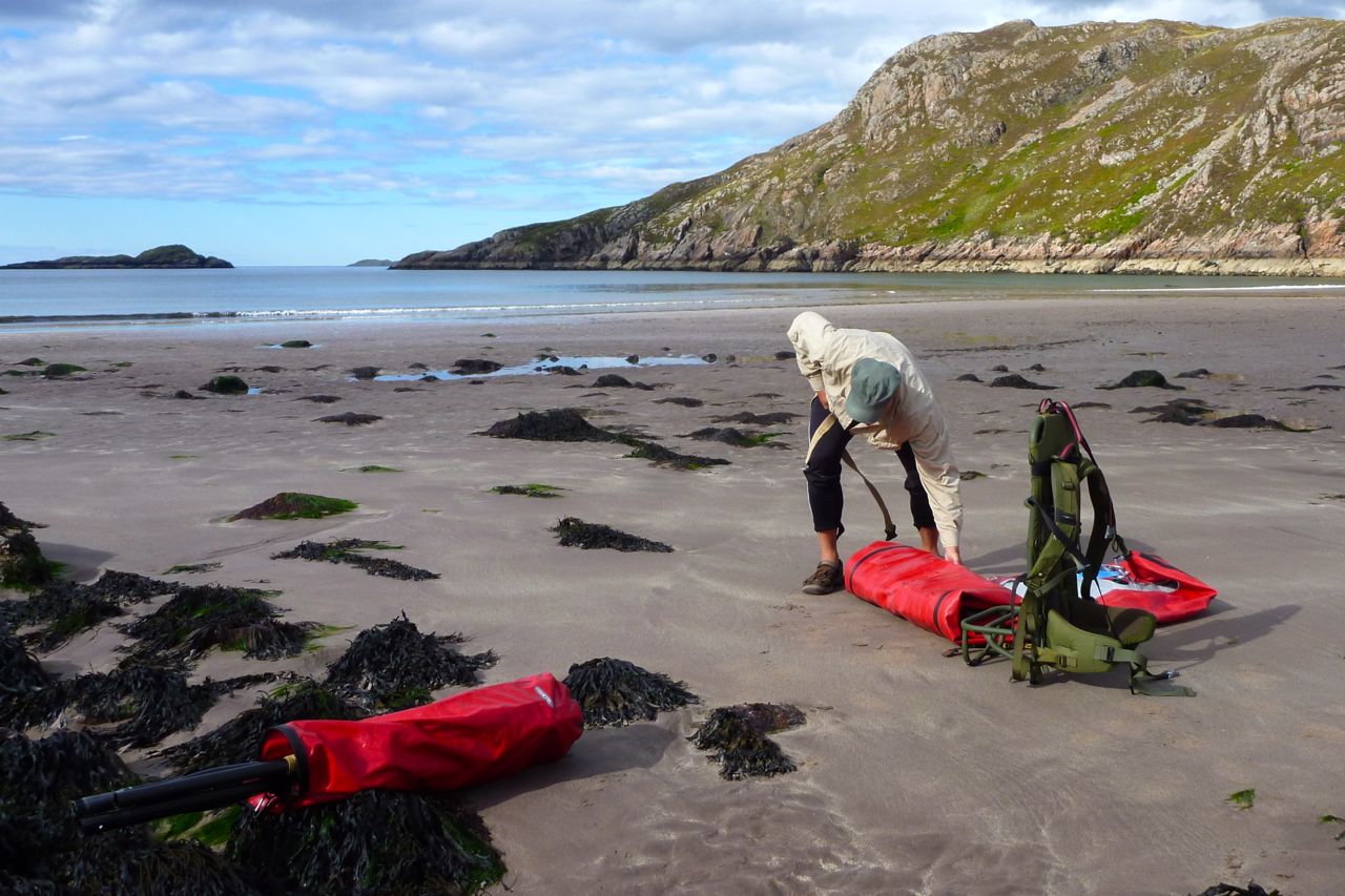
Back ashore I roll up the Yakpacka…

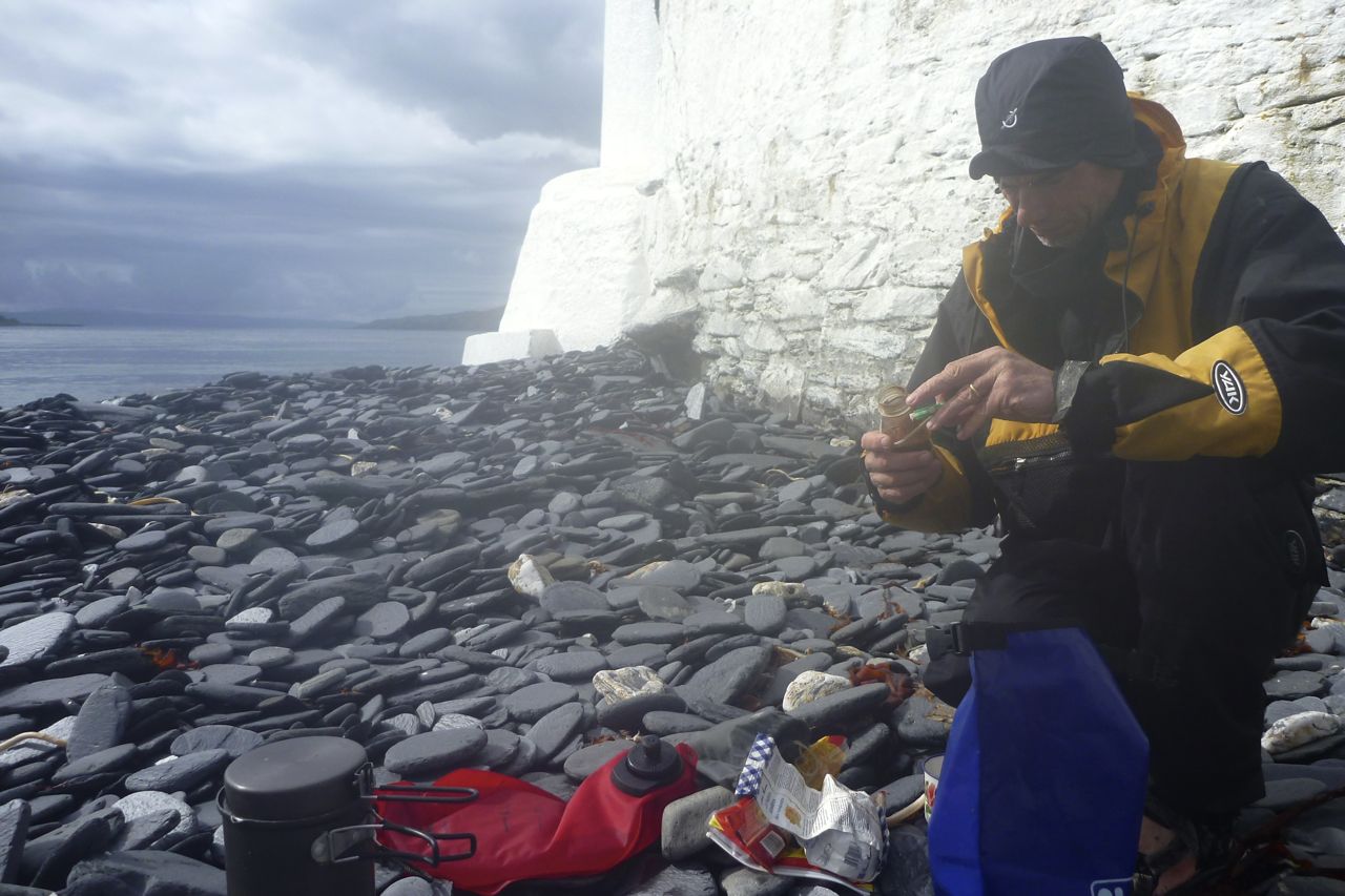
…and we set off for the 3.5-mile walk back to the bike at Inverkirkaig. And even here on the path the wind nearly knocks we over a couple of times. It was only an 11.5-mile day (10 for me on foot + 1.5 paddle), but by the time we get back to the bike we are pooped. Luckily, this year we have a lovely house to go back to.